Elevation of Prairie Landing Dr, Eagle Point, OR, USA
Location: United States > Oregon > Eagle Point >
Longitude: -122.79982
Latitude: 42.4561046
Elevation: -10000m / -32808feet
Barometric Pressure: 295KPa
Elevation Map:
Satellite Map:
Related Photos:

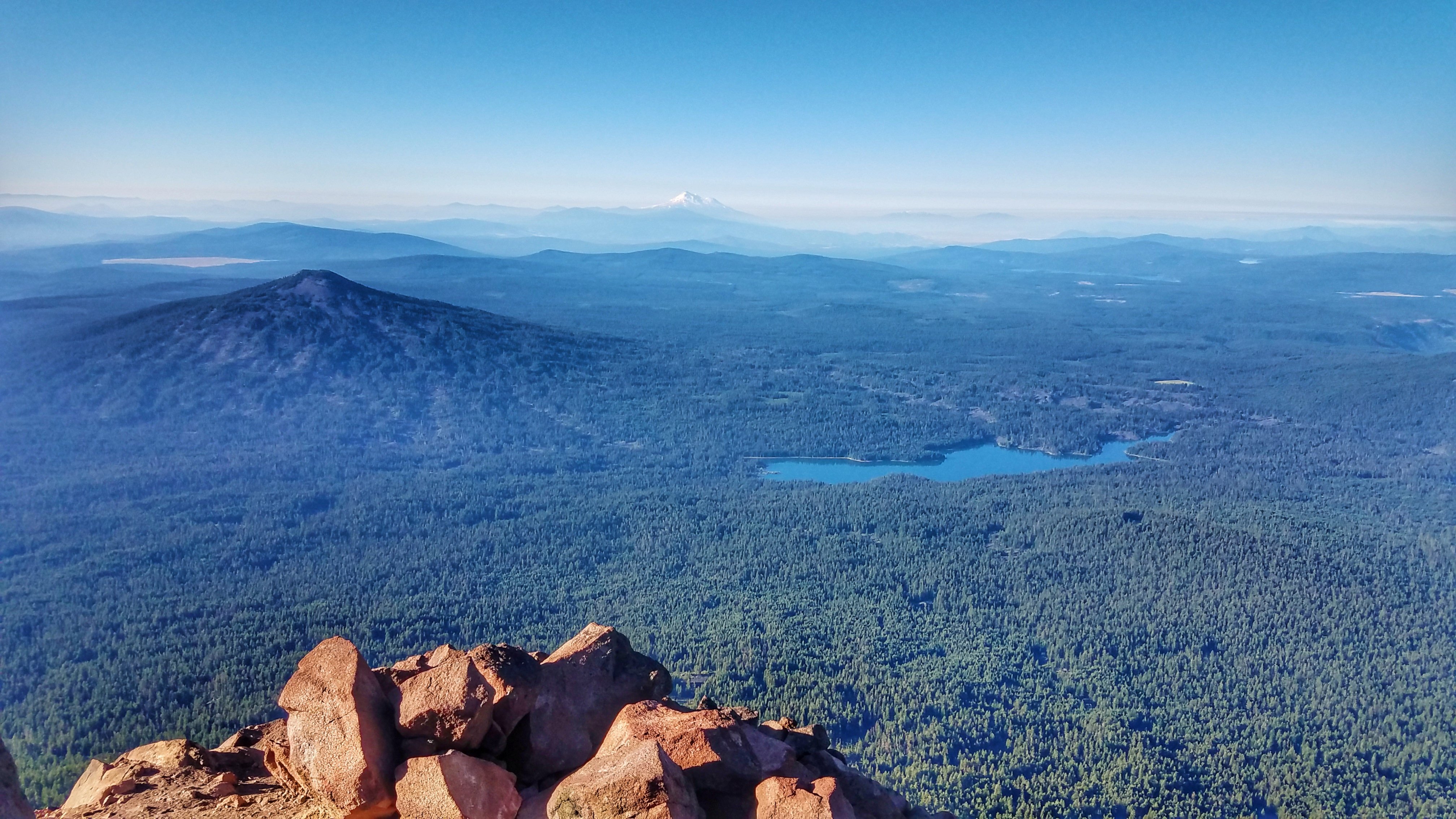
Summit view panorama

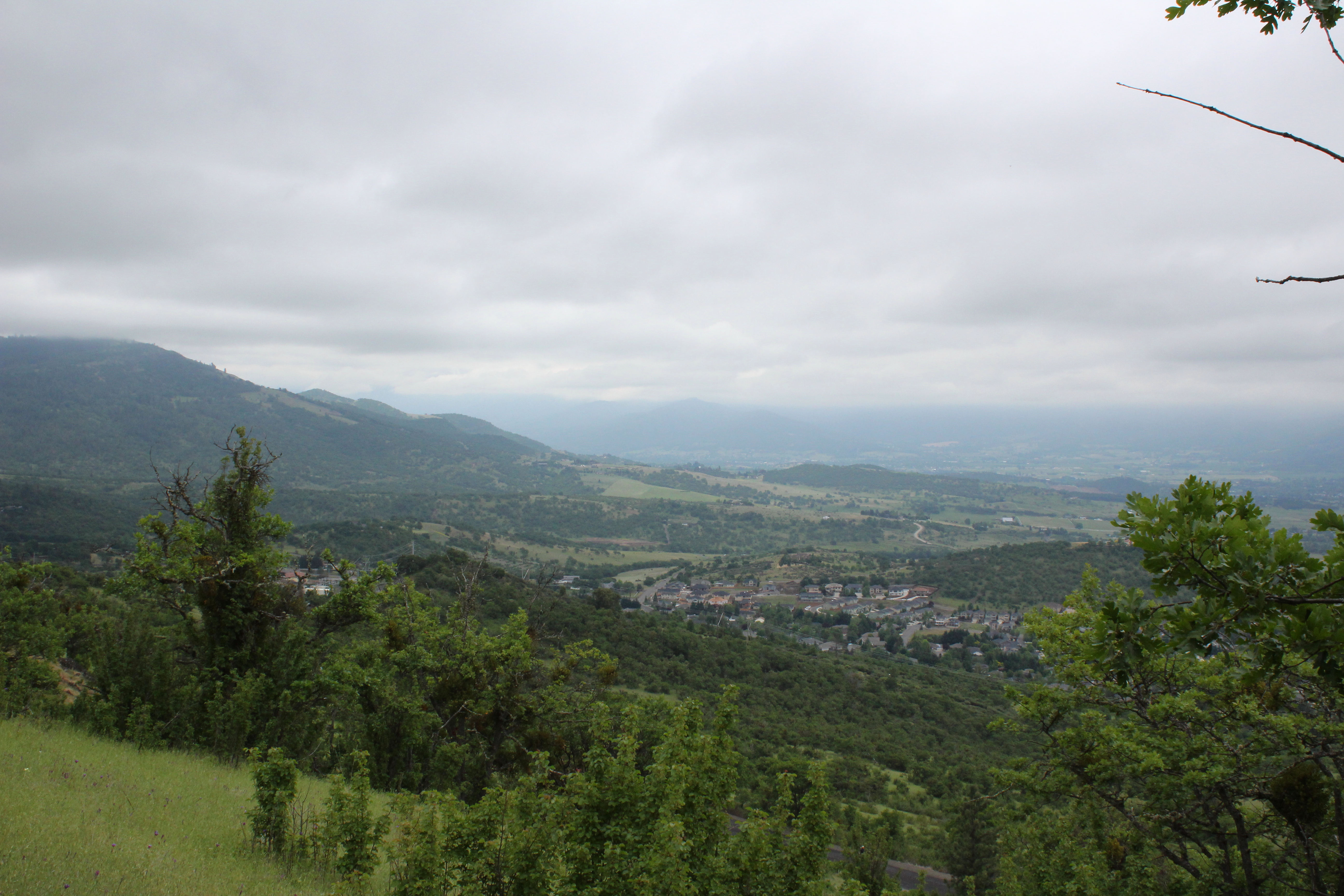
We had a great view of Bear Creek Valley

Harnessing the sun
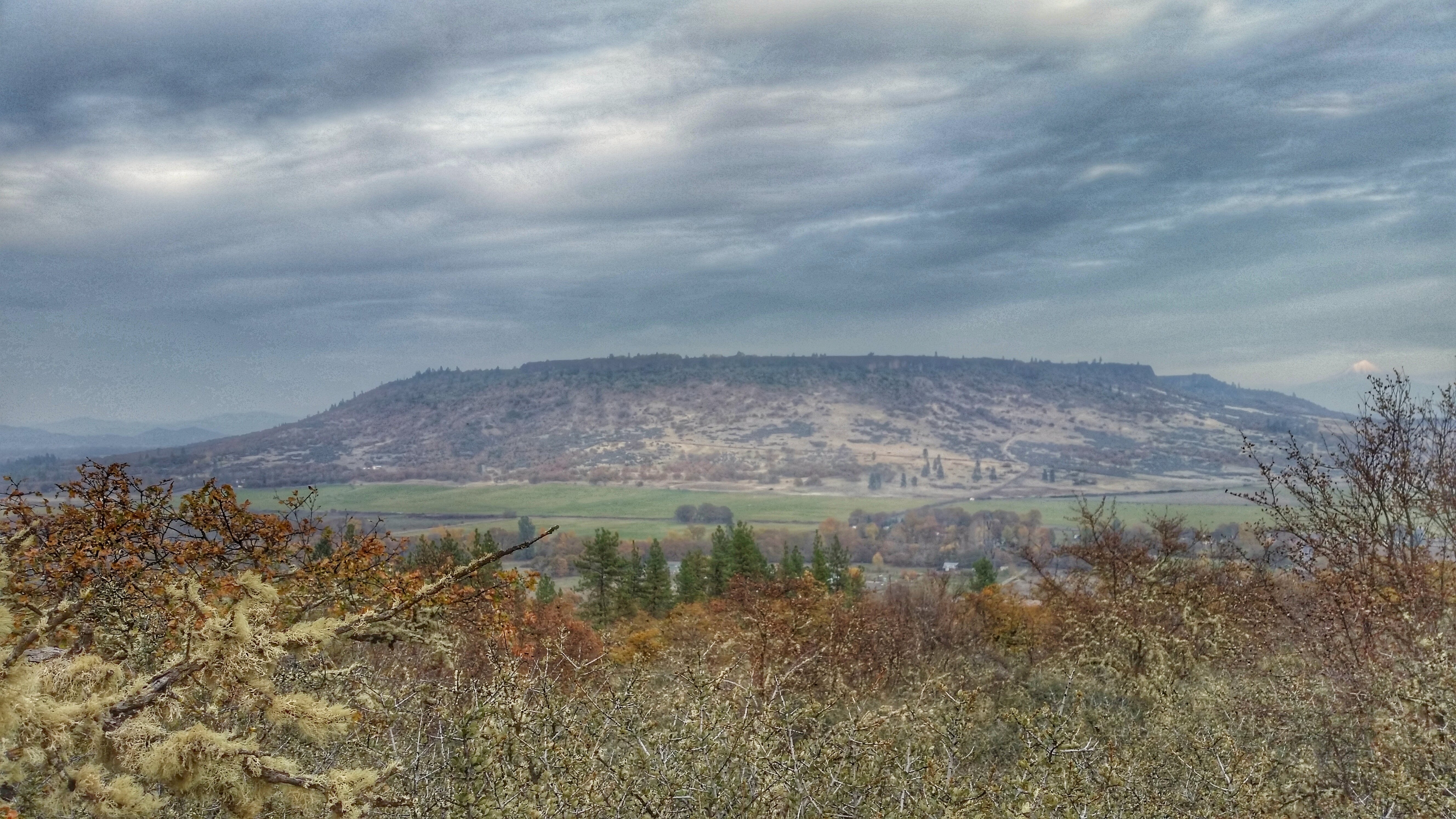
Clouds took away the mountain views
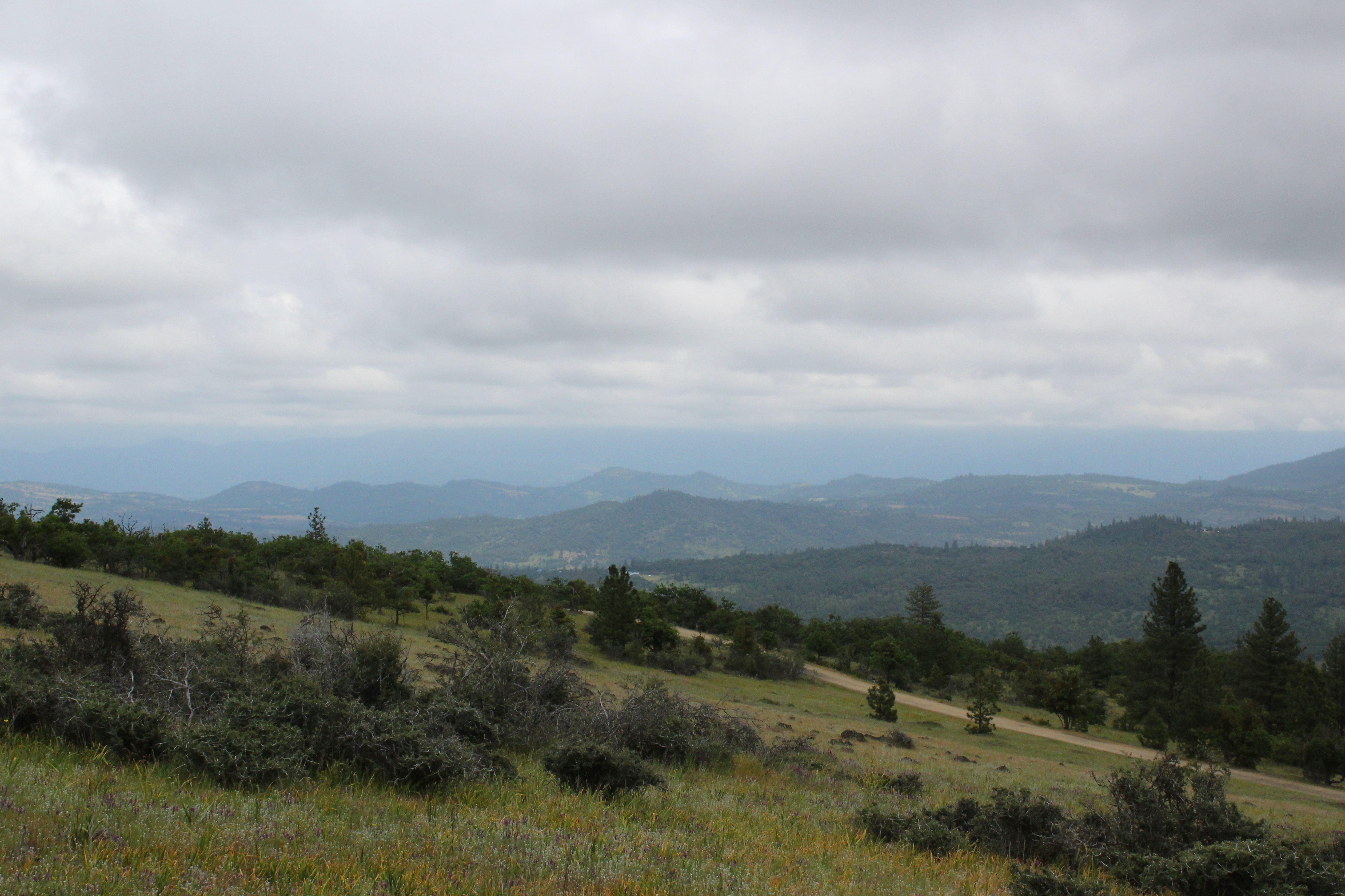
View towards the Cascades

View to south Medford

Walking with the shutter open

The view from Roxy Ann Peak's summit

DAY 41/365: Shank's Pony

Partial view on the way down

A great view

Sunrise from the Columbia river gorge

DAY 193/365: Old Town Fire Escape

View of Medford Oregon from Upper Table Rock, looking South.
2011-09-04-018

Lower Table Rock and Barn from I-5

Lovely view of i-5

Mourning Dove on a nest (Zenaida macroura)

Soaking in the view
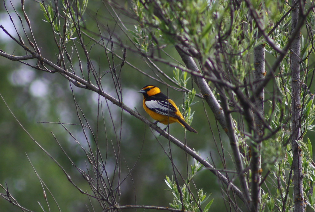
Bullock's Oriole (Icterus bullockii)

Love the view up here.

Mount McLoughlin

Eagle Point, Oregon

Golden Hue

Medford lights from Roxy Ann Drive

sentinel of wide open spaces

Roundup: JB Dimick readies cows and calves for new pasture. Eagle Point, Oregon 5:14 p.m. 5/11/16
Climbing Mount McLoughlin

Hiking Upper Table Rock

N374AC AeroFlite Avro RJ85 Tanker 164

Hiking Upper Table Rock

N603AX 10 Tanker Air Carrier DC-10 Tanker 914
Hiking Lower Table Rock

Hiking Lower Table Rock

Table Rock

Hiking Upper Table Rock

Hiking Upper Table Rock

Hiking Lower Table Rock

N75435 United Airlines Boeing 737-900 (Continental Retro livery)

N440US Swift Air Boeing 737-400
Topographic Map of Prairie Landing Dr, Eagle Point, OR, USA
Find elevation by address:

Places near Prairie Landing Dr, Eagle Point, OR, USA:
288 Princeville Dr
227 Princeville Dr
Bellerive Drive
1068 Coral Ridge
Eagle Point
Eagle Point High School
633 E Archwood Dr
979 Win Way
251 Northview Dr
1404 Brownsboro-eagle Point Hwy
3600 Ave G
900 Ayres Rd
White City
2373 Brownsboro-eagle Point Hwy
Gladstone Ave, White City, OR, USA
1008 Lexington Dr
2387 Brophy Rd
2345 Brownsboro Meridian Rd
4130 Dry Creek Rd
4902 Mcloughlin Dr
Recent Searches:
- Elevation of Corso Fratelli Cairoli, 35, Macerata MC, Italy
- Elevation of Tallevast Rd, Sarasota, FL, USA
- Elevation of 4th St E, Sonoma, CA, USA
- Elevation of Black Hollow Rd, Pennsdale, PA, USA
- Elevation of Oakland Ave, Williamsport, PA, USA
- Elevation of Pedrógão Grande, Portugal
- Elevation of Klee Dr, Martinsburg, WV, USA
- Elevation of Via Roma, Pieranica CR, Italy
- Elevation of Tavkvetili Mountain, Georgia
- Elevation of Hartfords Bluff Cir, Mt Pleasant, SC, USA