Elevation of Bellerive Drive, Bellerive Dr, Eagle Point, OR, USA
Location: United States > Oregon > Eagle Point >
Longitude: -122.79675
Latitude: 42.4634295
Elevation: 419m / 1375feet
Barometric Pressure: 96KPa
Elevation Map:
Satellite Map:
Related Photos:

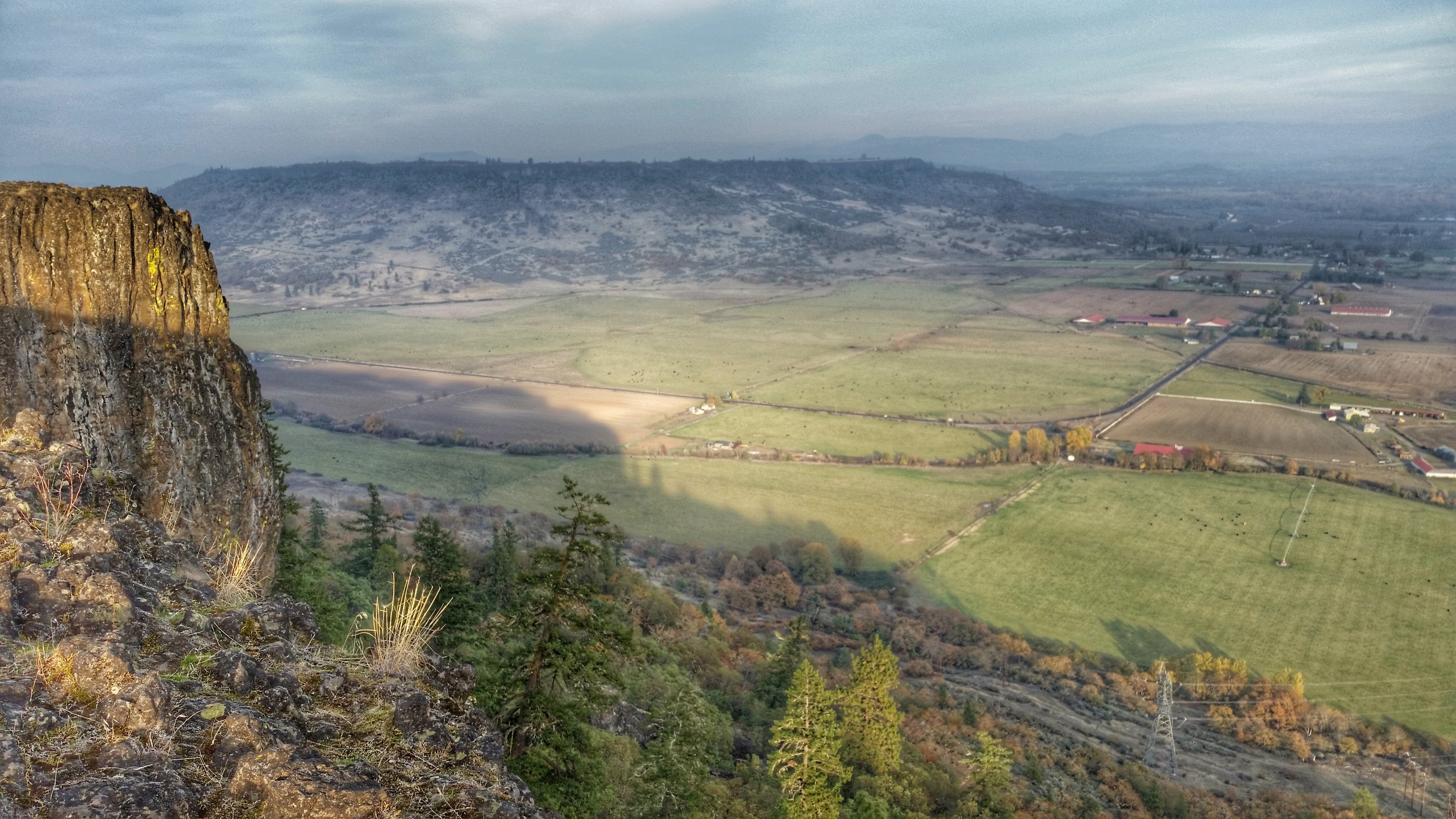
View from Tablerock
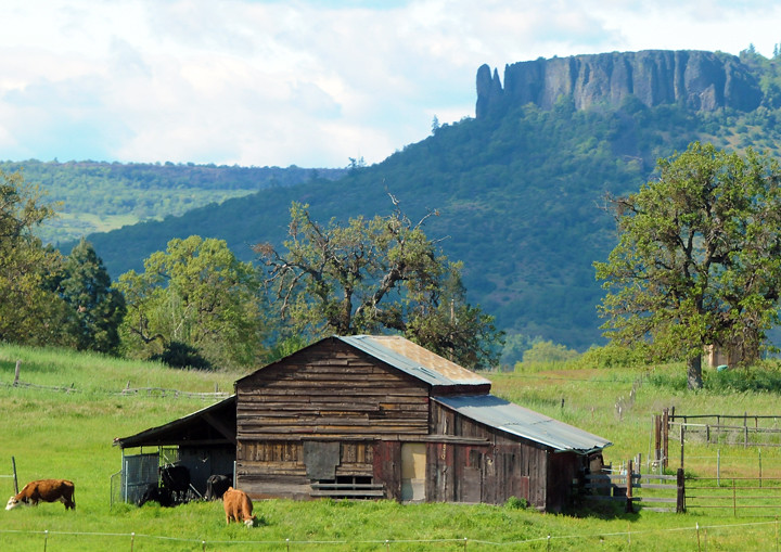
Lower Table Rock and Barn from I-5

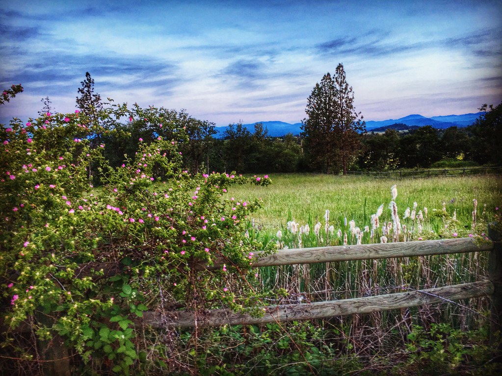
I love the view from my house! ????

Harnessing the sun

Sunrise from the Columbia river gorge

View of Medford Oregon from Upper Table Rock, looking South.
Clouds took away the mountain views

Love the view up here.
Lovely view of i-5
2011-09-04-018
Partial view on the way down
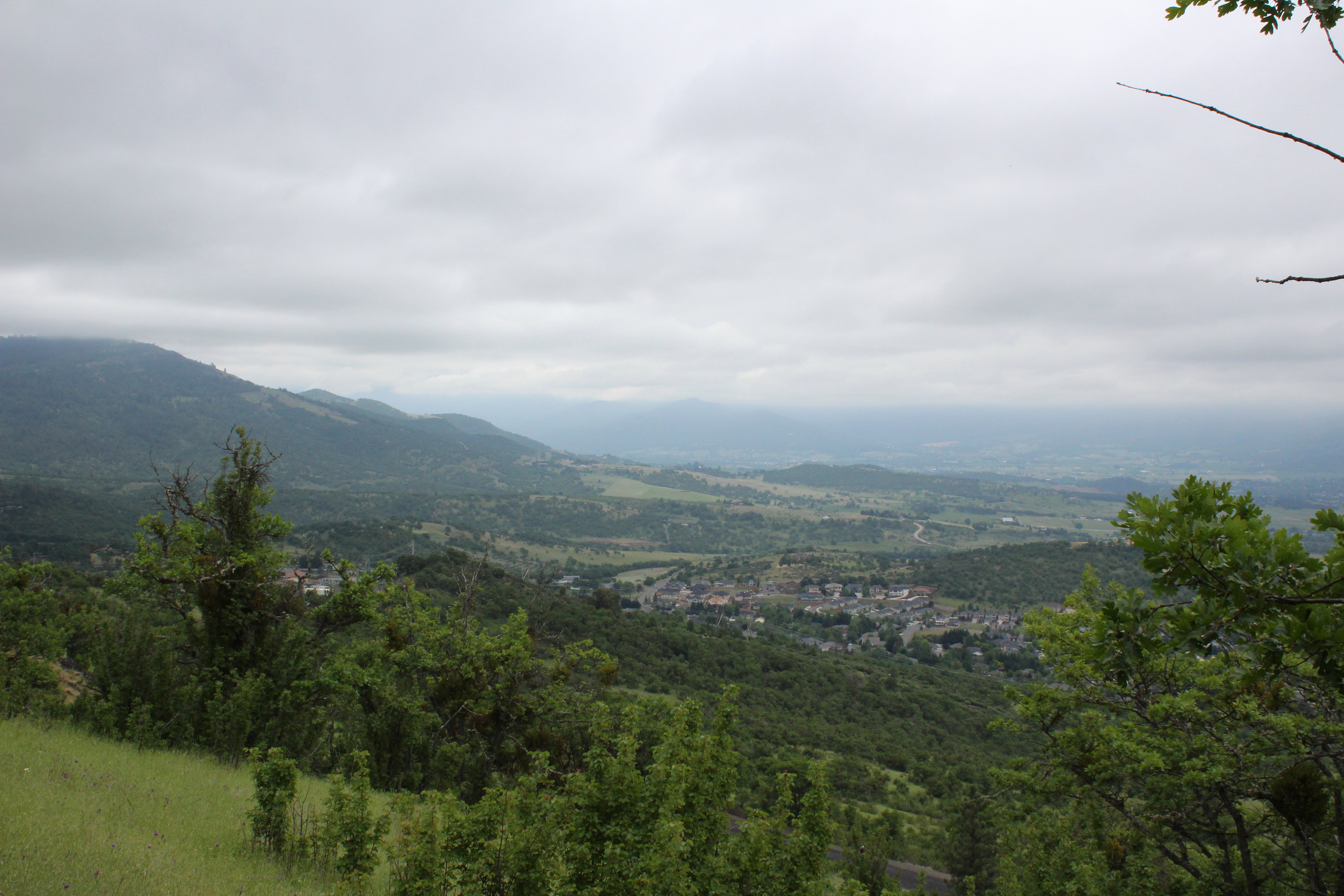
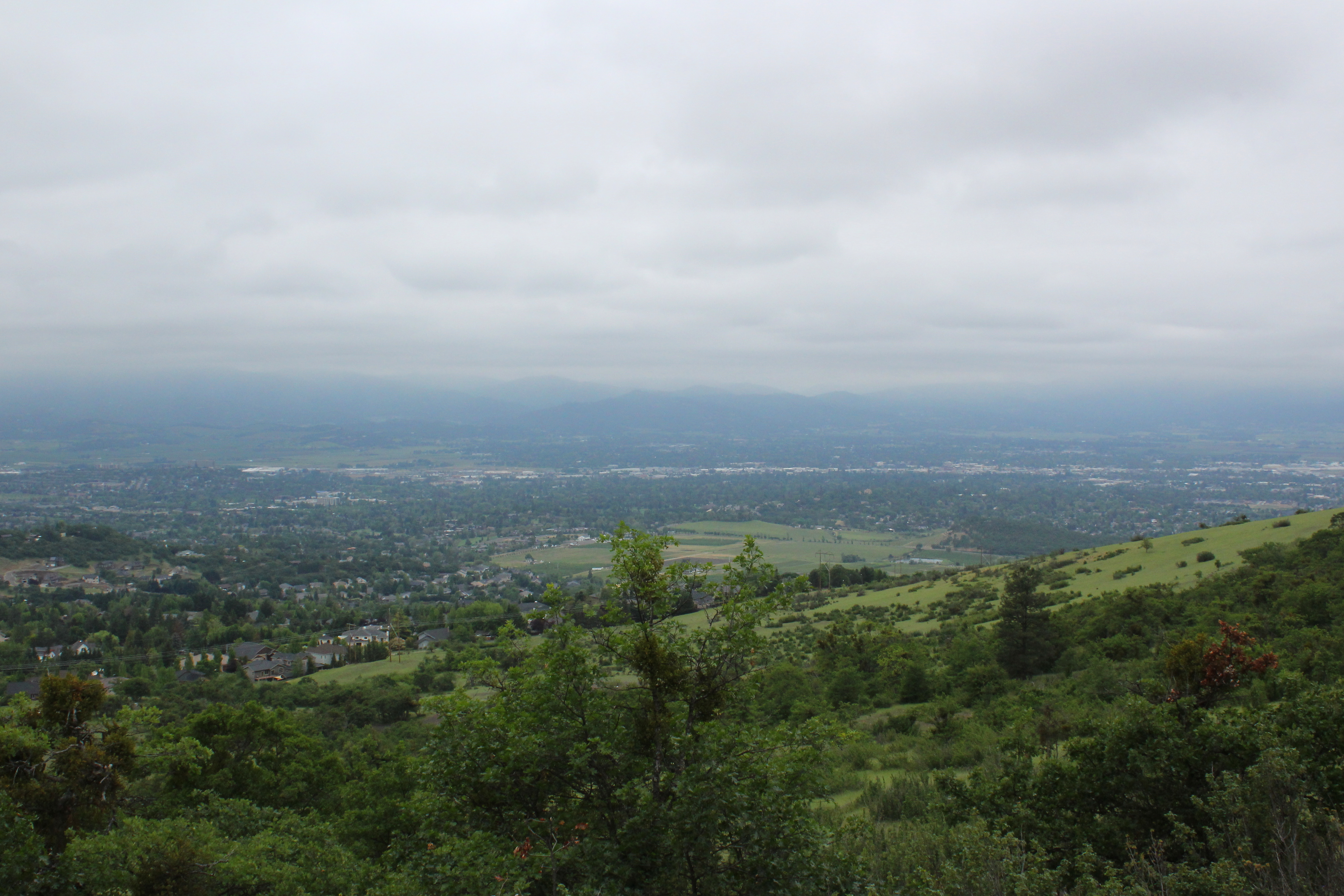
View to south Medford
A great view
Summit view panorama
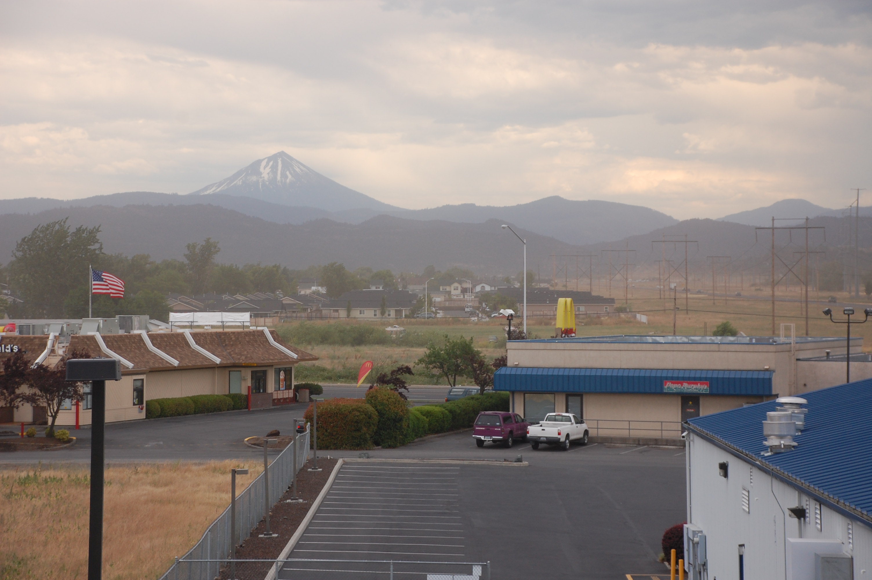
View from White City OR Motel of Mt McLoughlin
The view would only get better
Soaking in the view
Southeast Medford dominated the view
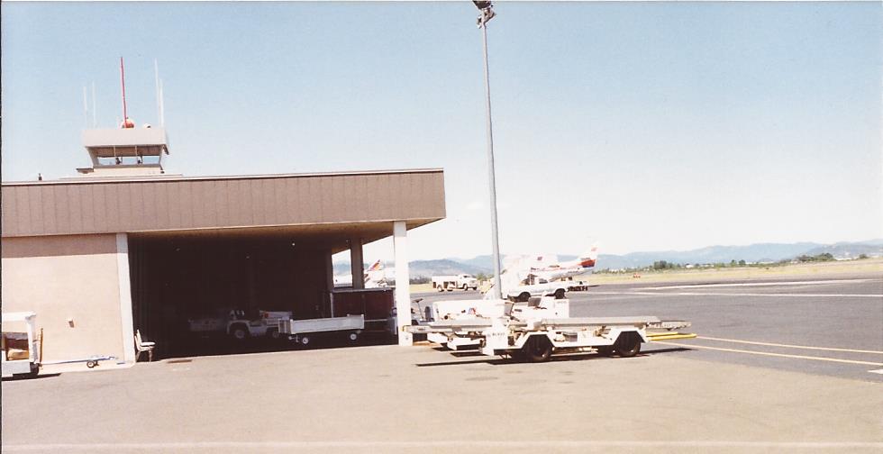
MFR14JUL92 02

Bullock's Oriole (Icterus bullockii)
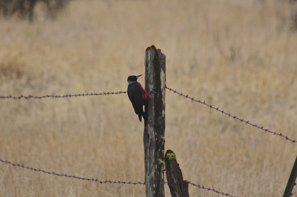
Lewis's Woodpecker (Melanerpes lewis)
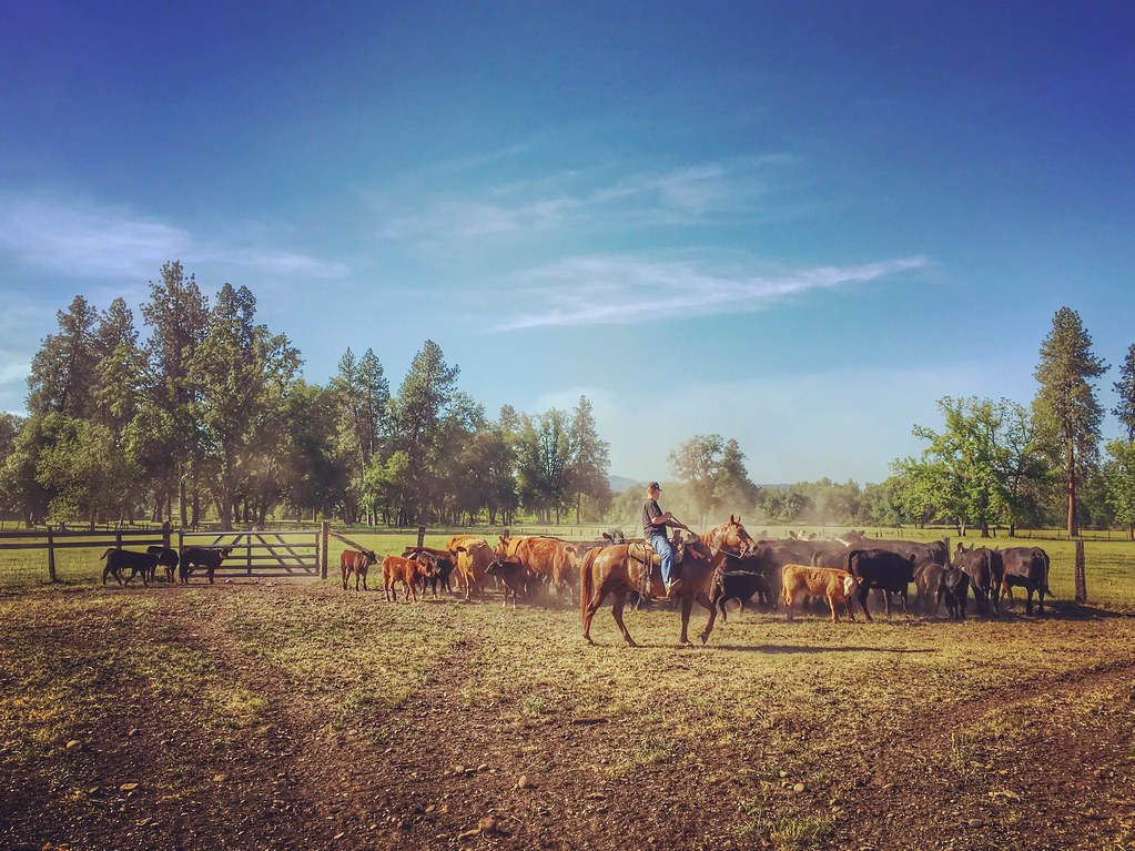
Roundup: JB Dimick readies cows and calves for new pasture. Eagle Point, Oregon 5:14 p.m. 5/11/16
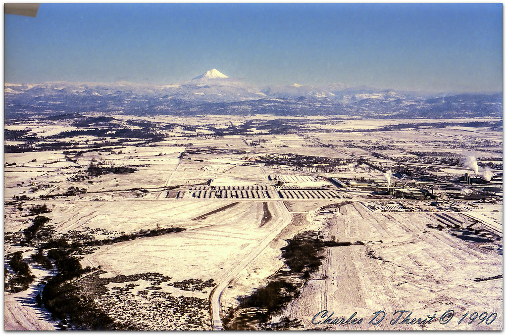
Mount McLoughlin

Table Rock
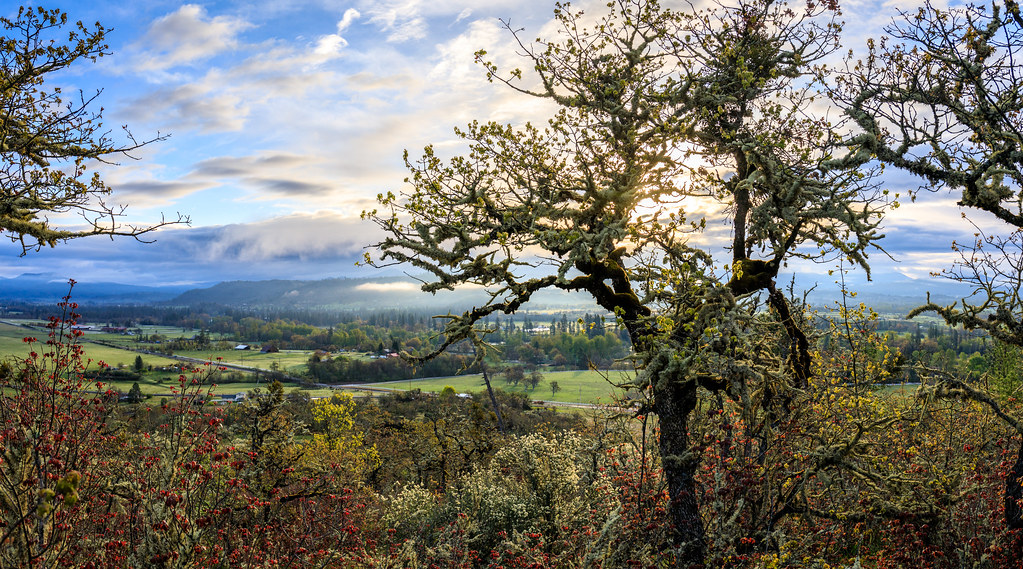
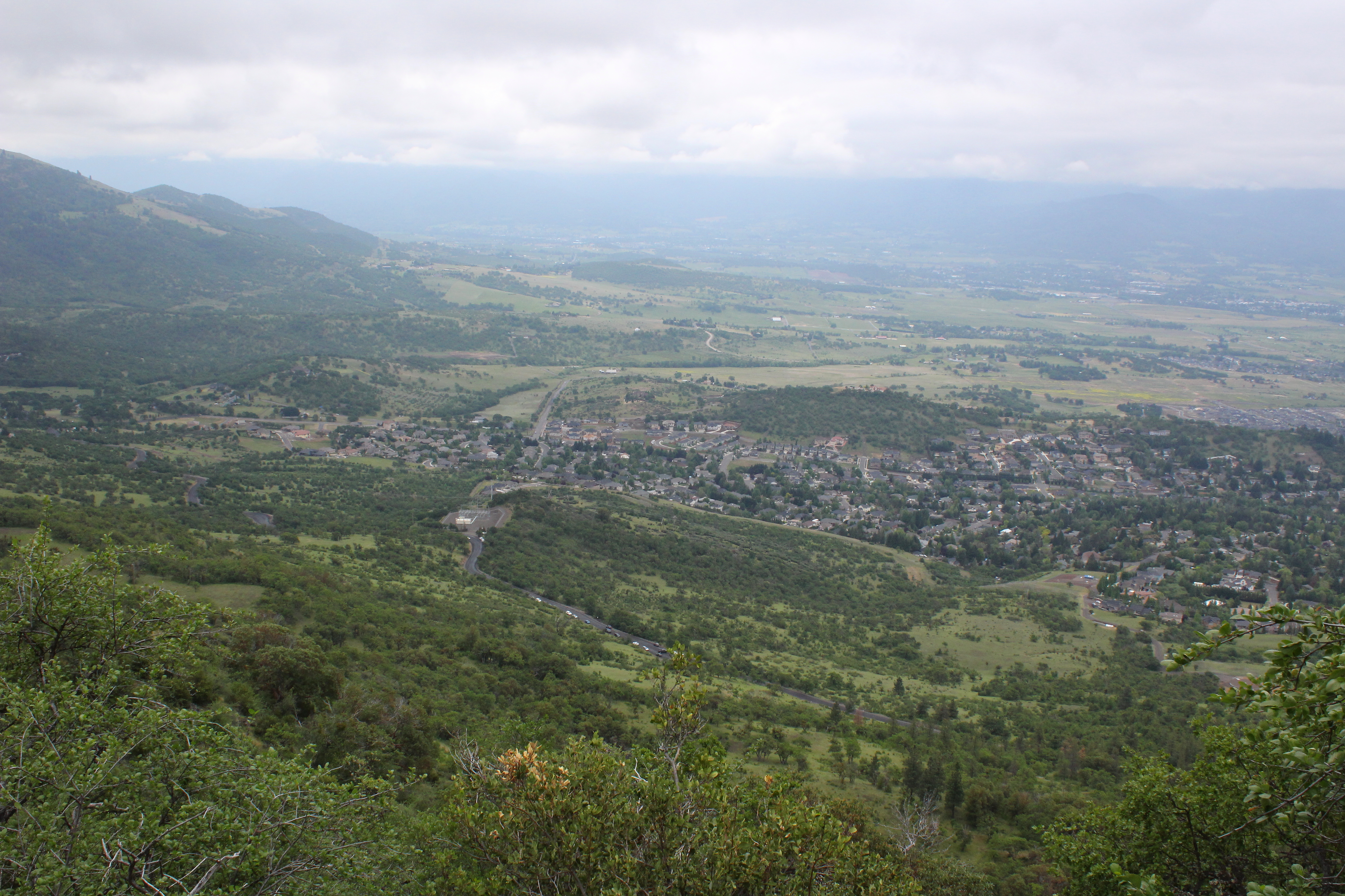
Rogue Valley Oregon
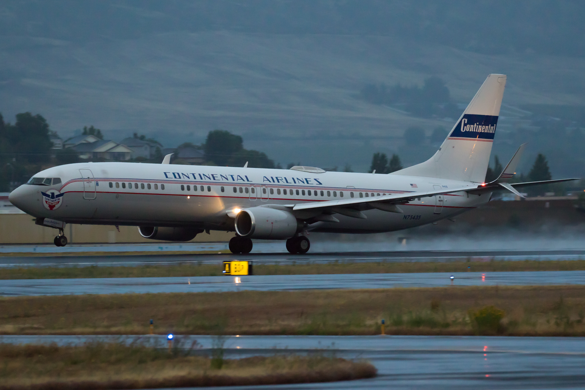
N75435 United Airlines Boeing 737-900 (Continental Retro livery)
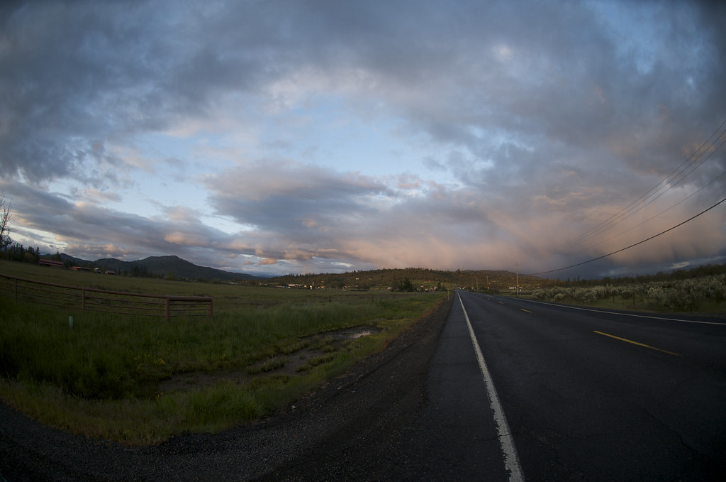
Oregon Road

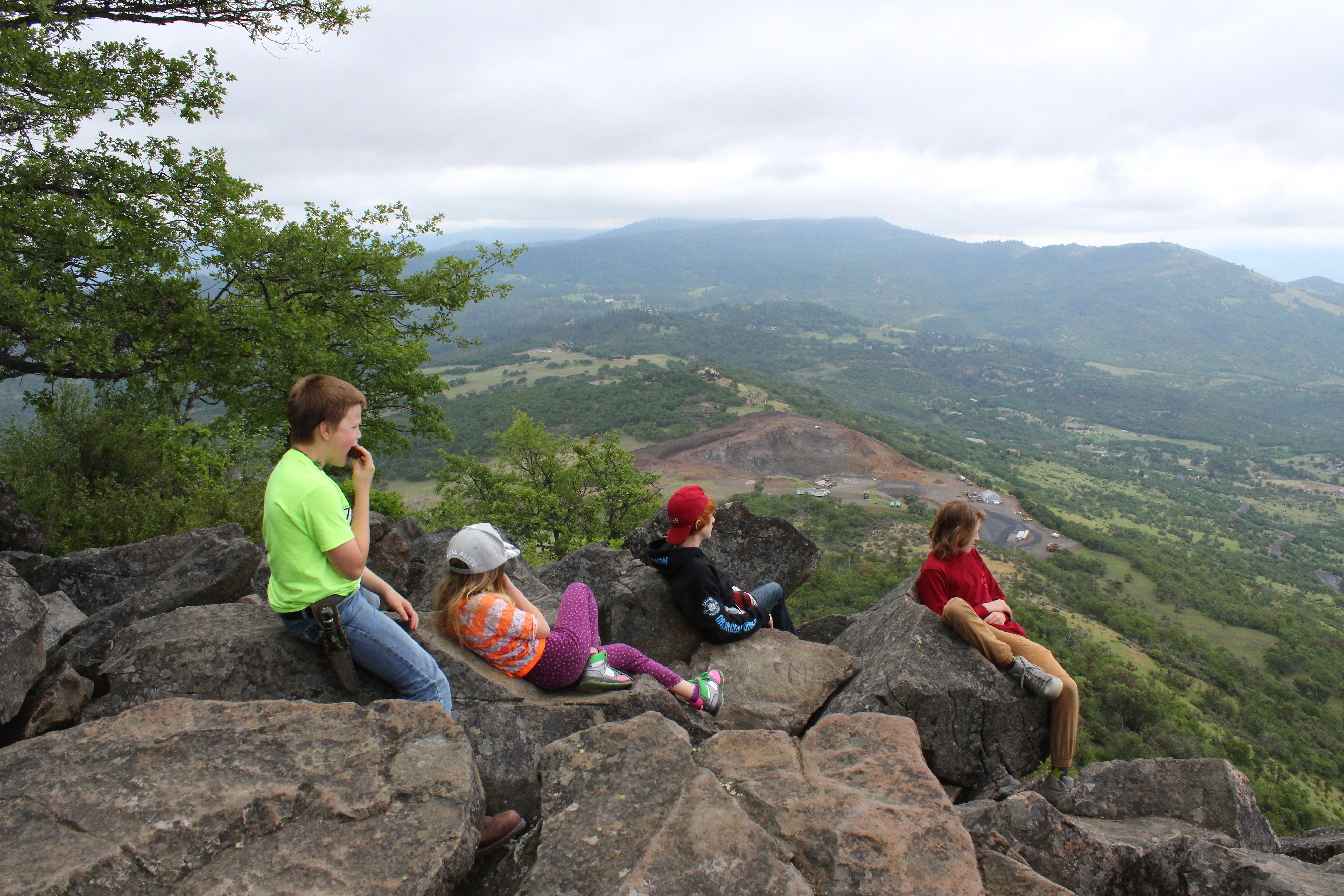
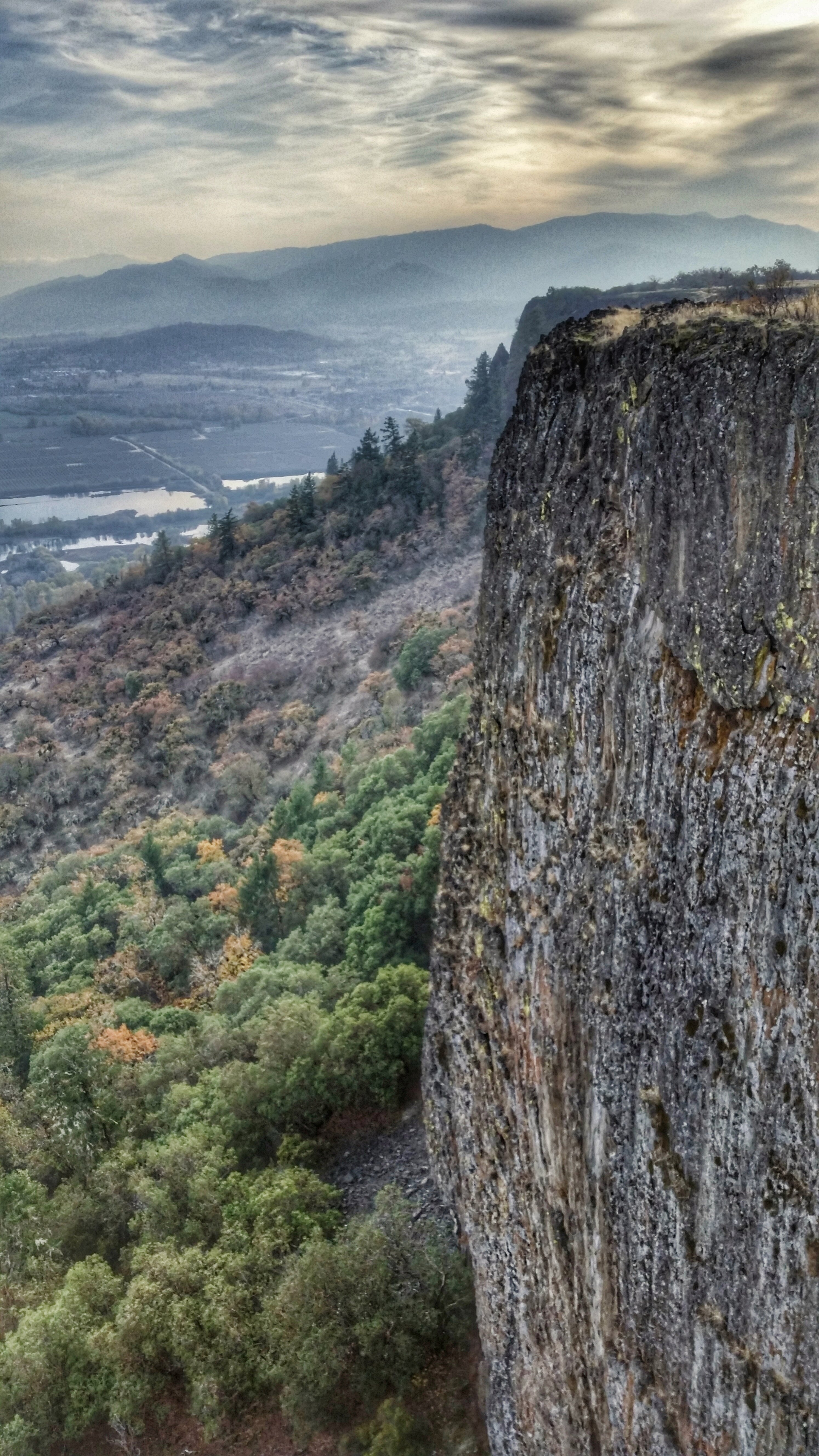
Hiking Upper Table Rock
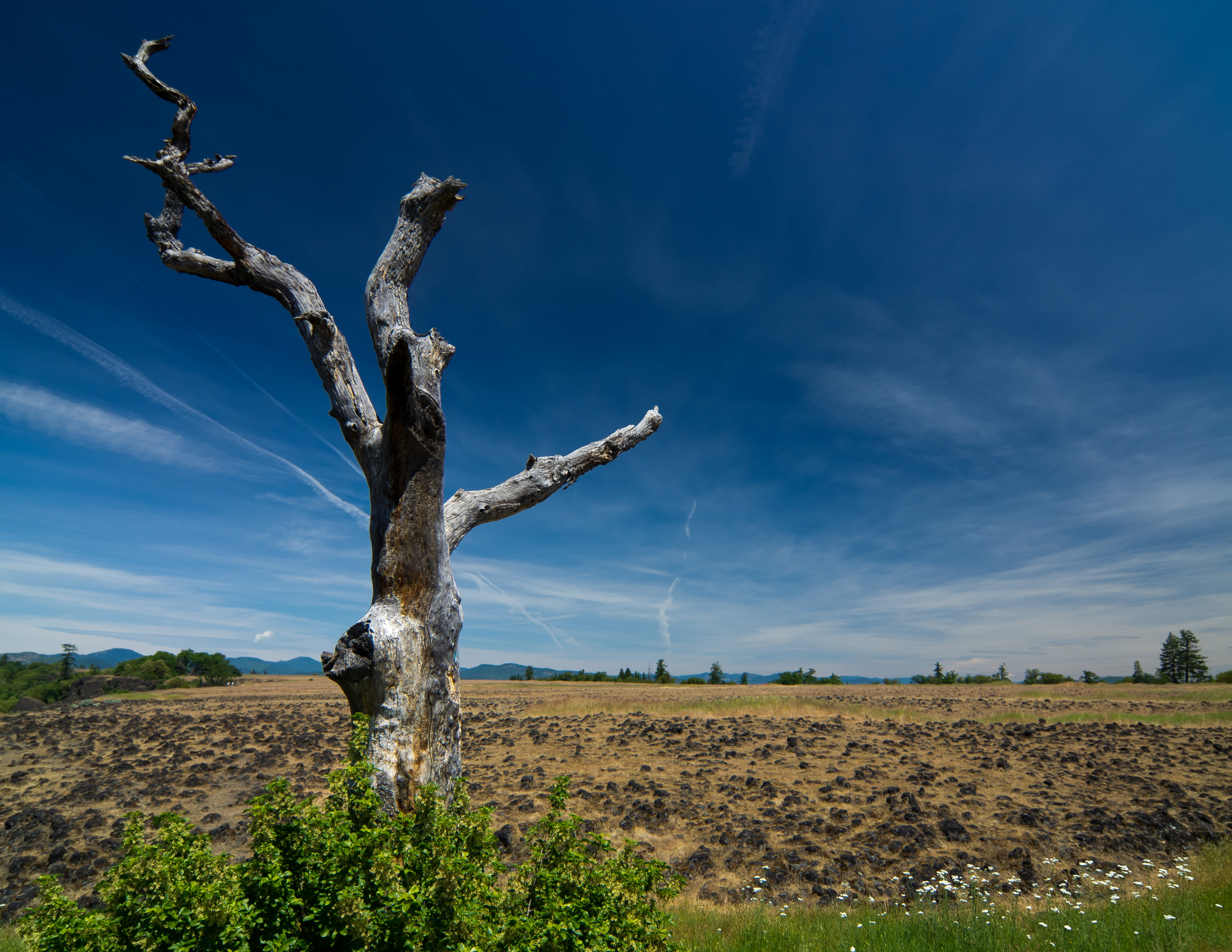
sentinel of wide open spaces

-

Summer 2014
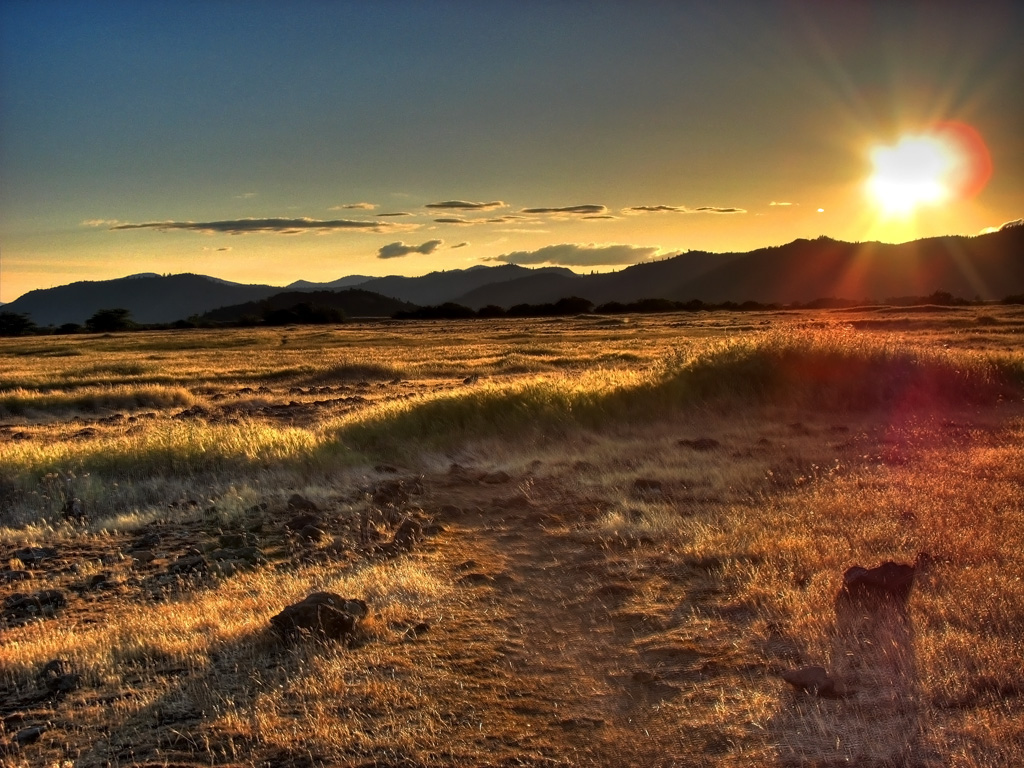
Golden Hue
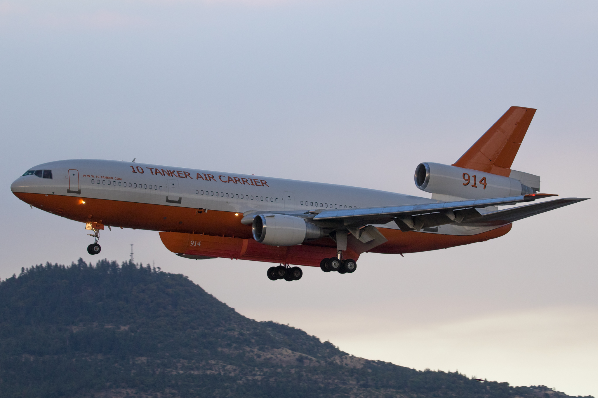
N603AX 10 Tanker Air Carrier DC-10 Tanker 914

Hiking Lower Table Rock
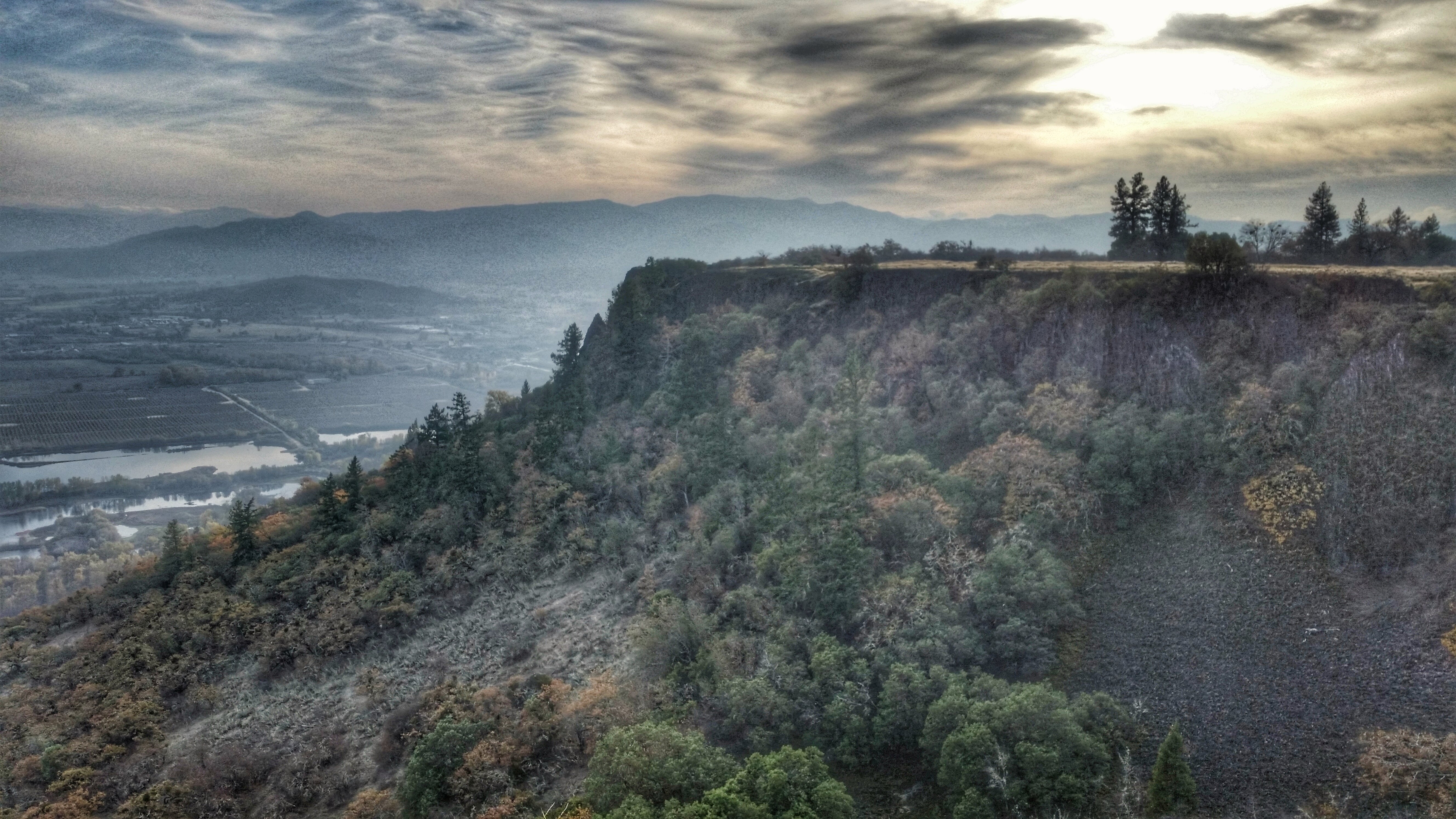
Hiking Lower Table Rock

N374AC AeroFlite Avro RJ85 Tanker 164

Crater Lake
Hiking Lower Table Rock

#RoadTrip #PNW #Oregon #CraterLake #Explore #Trails #Photography #SpringBreak #Spring #WestCoast #NationalPark #BeFunky
Rogue Valley Roadside, Eagle Point Oregon 5:51 a.m. 5/13/16
Hiking Lower Table Rock
Topographic Map of Bellerive Drive, Bellerive Dr, Eagle Point, OR, USA
Find elevation by address:

Places near Bellerive Drive, Bellerive Dr, Eagle Point, OR, USA:
1068 Coral Ridge
246 Prairie Landing Dr
288 Princeville Dr
227 Princeville Dr
Eagle Point
633 E Archwood Dr
Eagle Point High School
1404 Brownsboro-eagle Point Hwy
979 Win Way
251 Northview Dr
900 Ayres Rd
2373 Brownsboro-eagle Point Hwy
3600 Ave G
White City
Gladstone Ave, White City, OR, USA
2387 Brophy Rd
1008 Lexington Dr
2345 Brownsboro Meridian Rd
50 Butte Falls Hwy
4130 Dry Creek Rd
Recent Searches:
- Elevation of Steadfast Ct, Daphne, AL, USA
- Elevation of Lagasgasan, X+CQH, Tiaong, Quezon, Philippines
- Elevation of Rojo Ct, Atascadero, CA, USA
- Elevation of Flagstaff Drive, Flagstaff Dr, North Carolina, USA
- Elevation of Avery Ln, Lakeland, FL, USA
- Elevation of Woolwine, VA, USA
- Elevation of Lumagwas Diversified Farmers Multi-Purpose Cooperative, Lumagwas, Adtuyon, RV32+MH7, Pangantucan, Bukidnon, Philippines
- Elevation of Homestead Ridge, New Braunfels, TX, USA
- Elevation of Orchard Road, Orchard Rd, Marlborough, NY, USA
- Elevation of 12 Hutchinson Woods Dr, Fletcher, NC, USA