Elevation of Ayres Rd, Eagle Point, OR, USA
Location: United States > Oregon > Eagle Point >
Longitude: -122.77009
Latitude: 42.478126
Elevation: 430m / 1411feet
Barometric Pressure: 96KPa
Elevation Map:
Satellite Map:
Related Photos:

Harnessing the sun
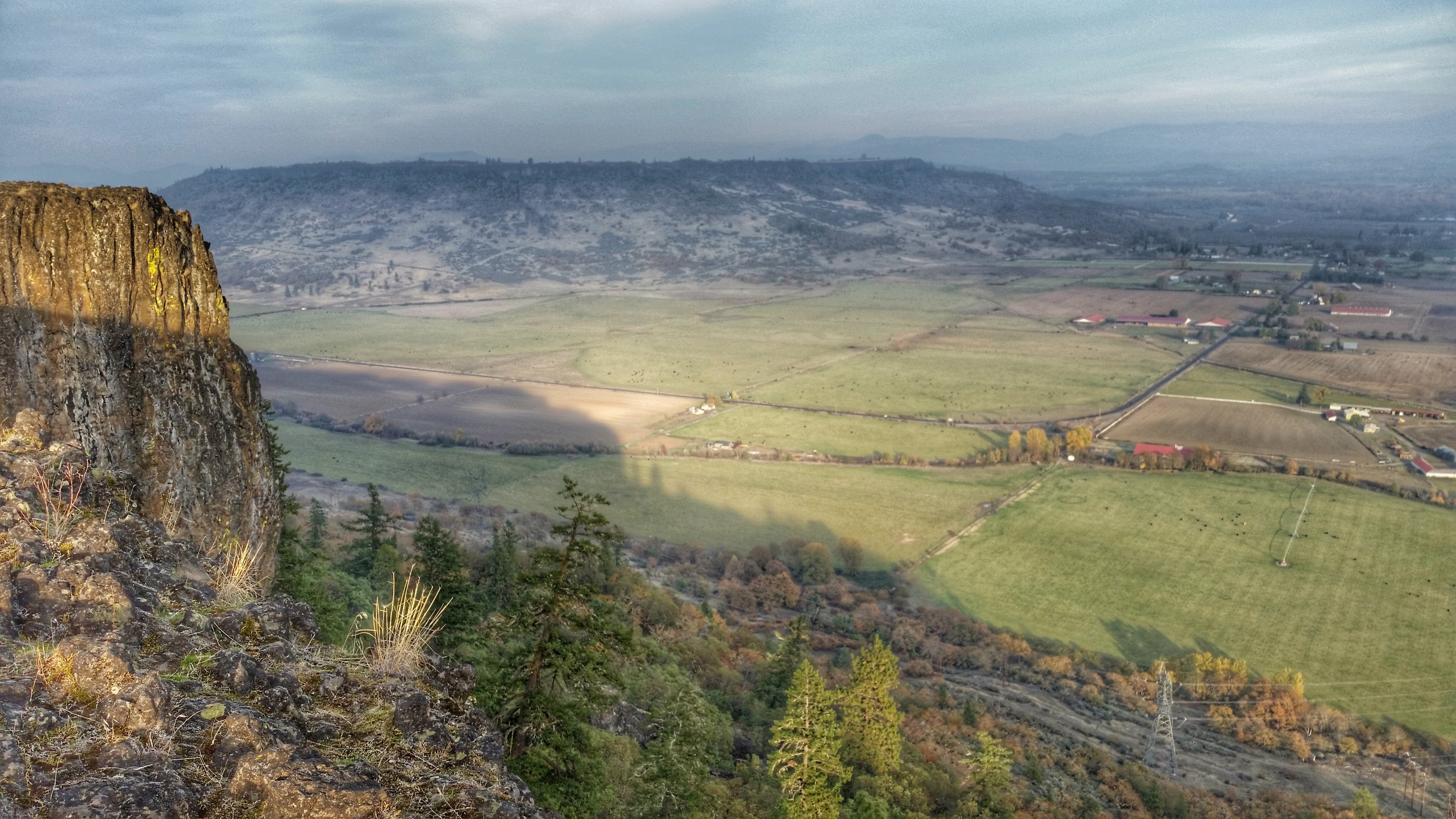
Summit view panorama
View from White City OR Motel of Mt McLoughlin

I love the view from my house! ????

Sunrise from the Columbia river gorge

View of Medford Oregon from Upper Table Rock, looking South.
The view from Roxy Ann Peak's summit
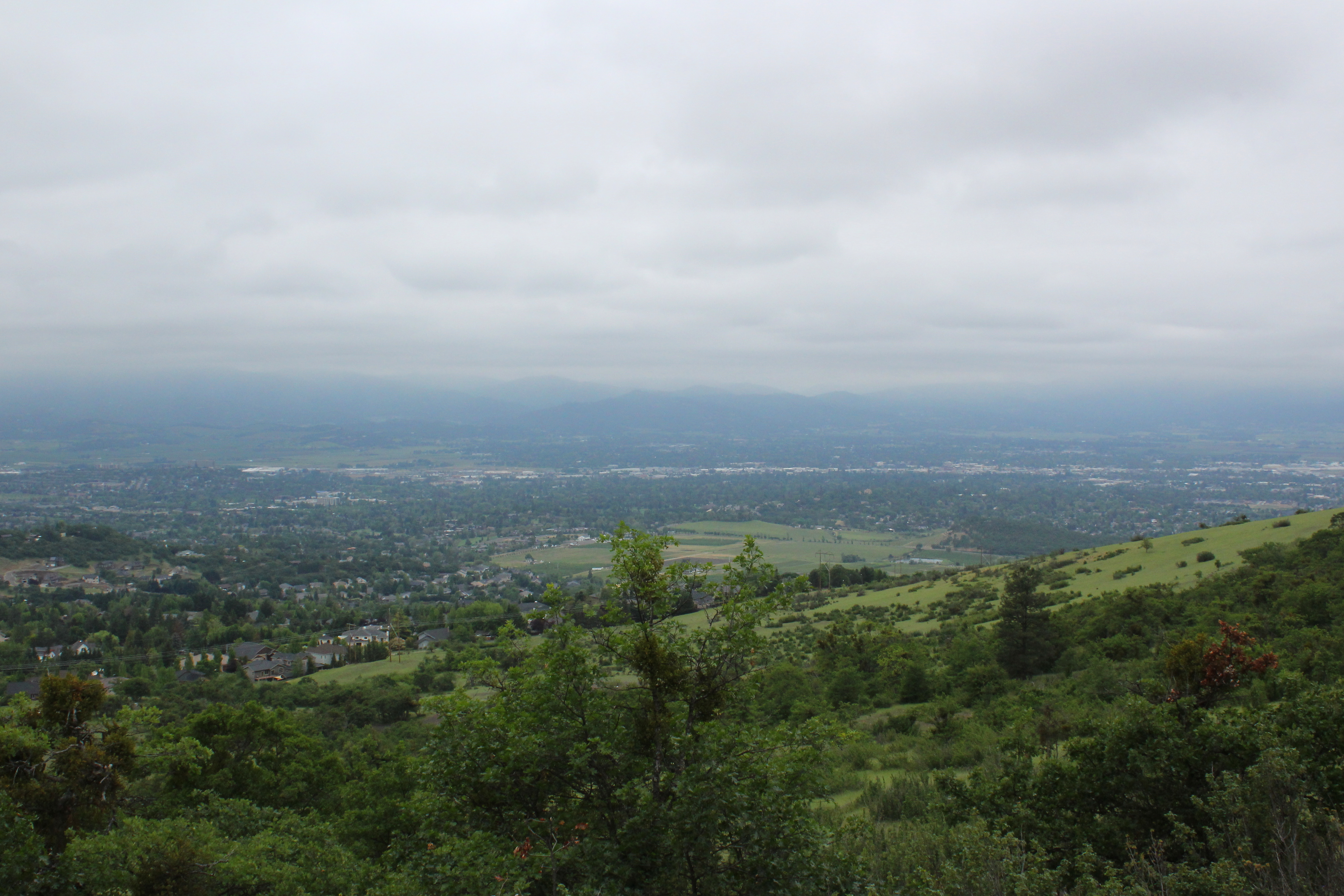
Lovely view of i-5
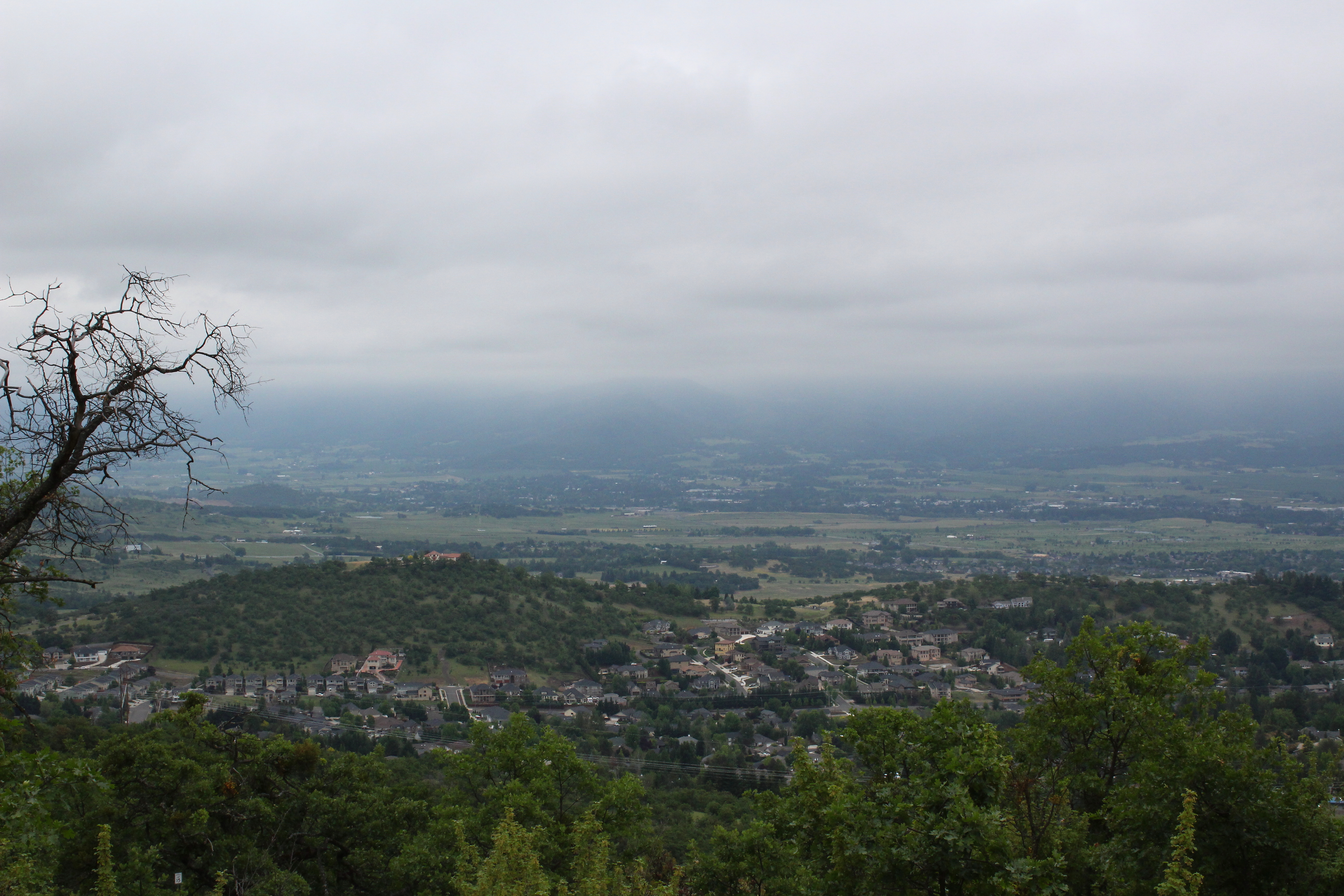
View to south Medford
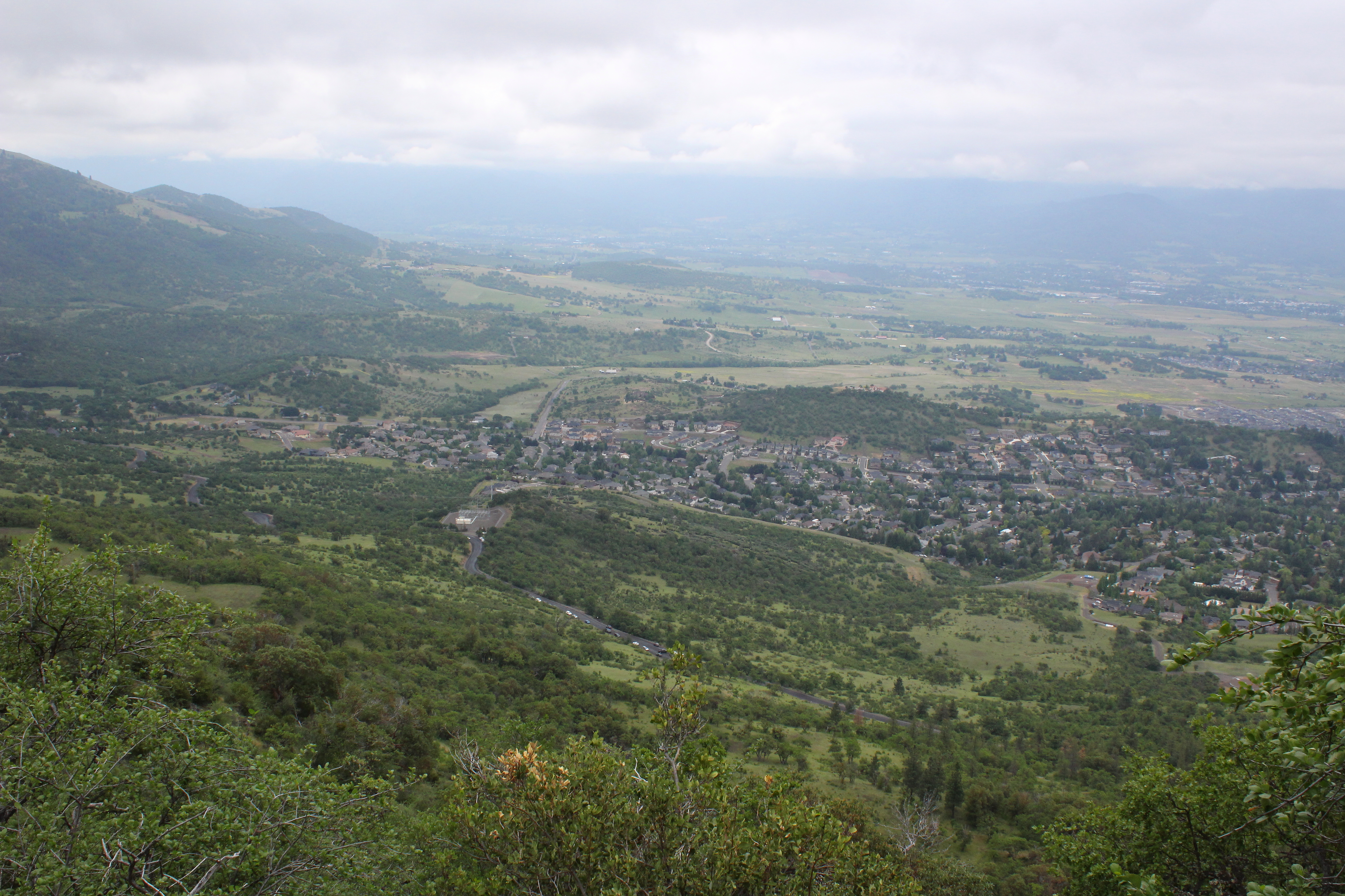
A great view

View towards the Cascades
The view would only get better
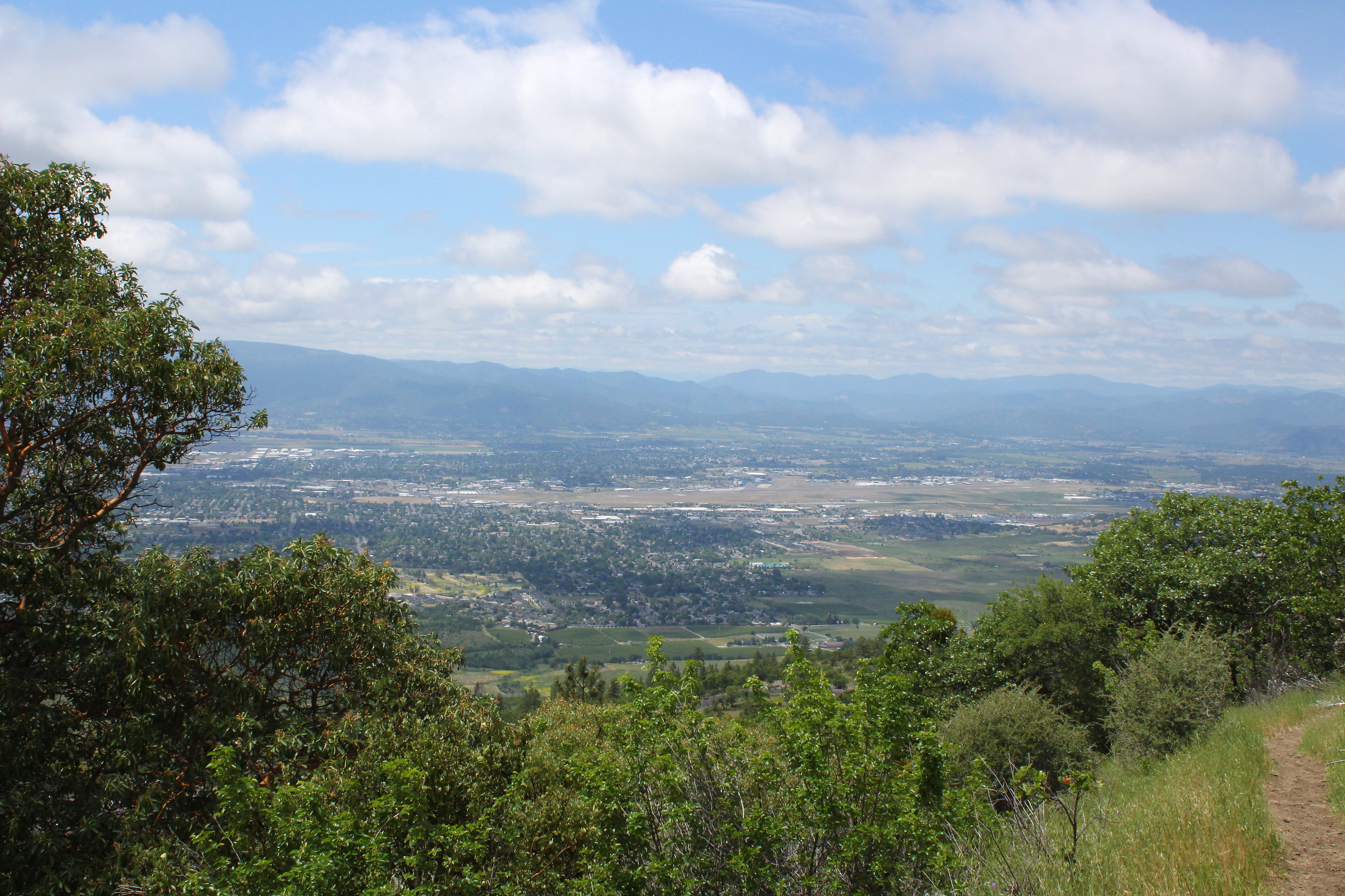
Southeast Medford dominated the view
View of the lake
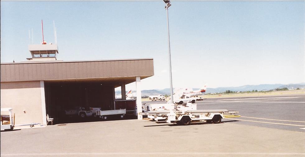
MFR14JUL92 02

Bullock's Oriole (Icterus bullockii)
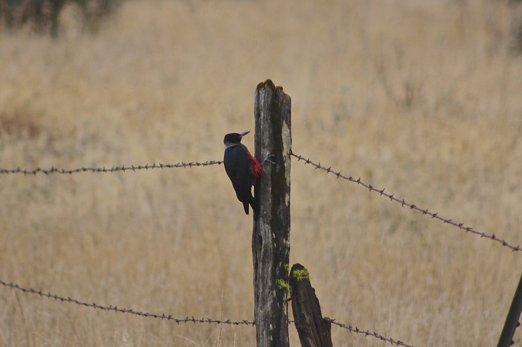
Lewis's Woodpecker (Melanerpes lewis)

DAY 41/365: Shank's Pony

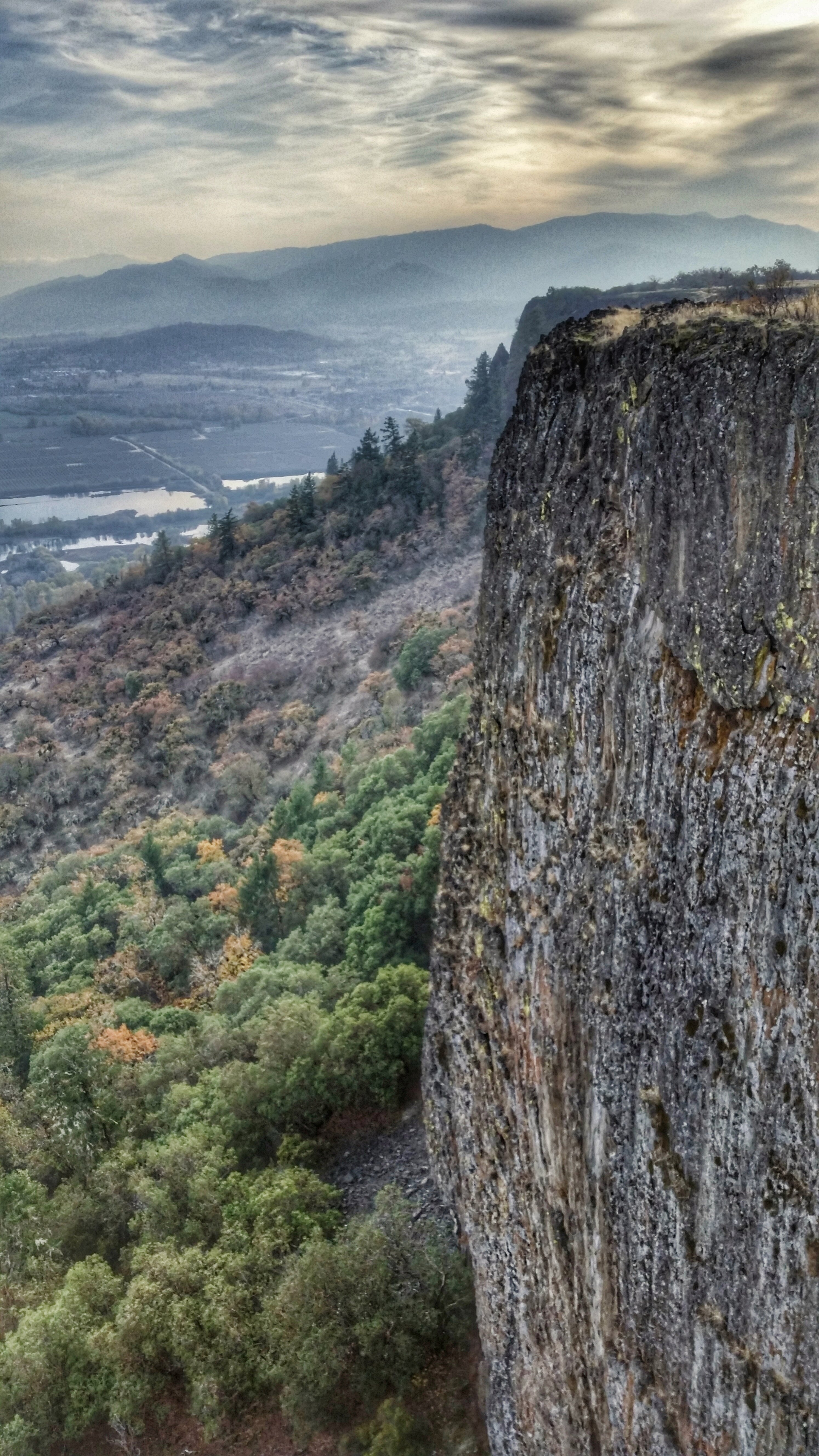
Hiking Upper Table Rock

Roundup: JB Dimick readies cows and calves for new pasture. Eagle Point, Oregon 5:14 p.m. 5/11/16
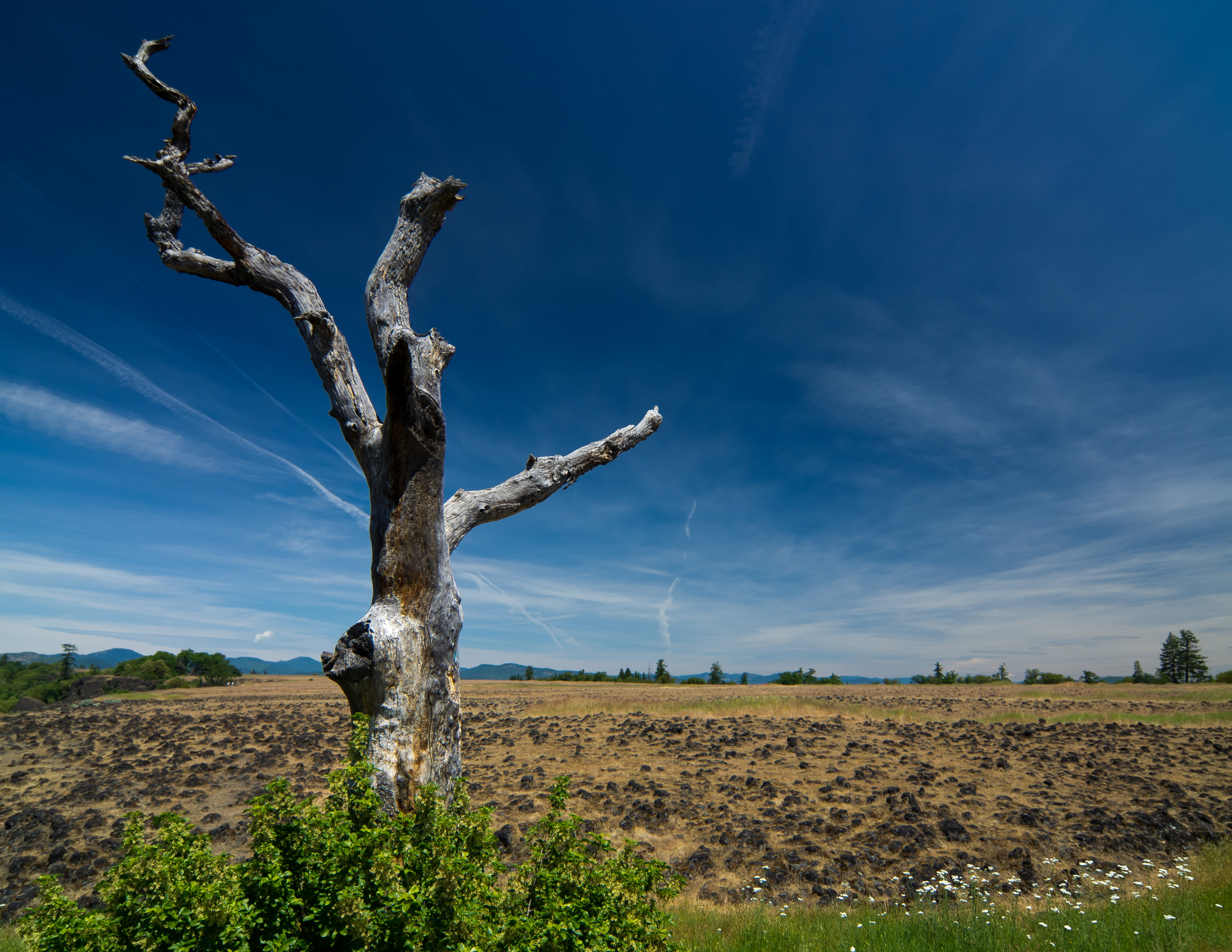
sentinel of wide open spaces
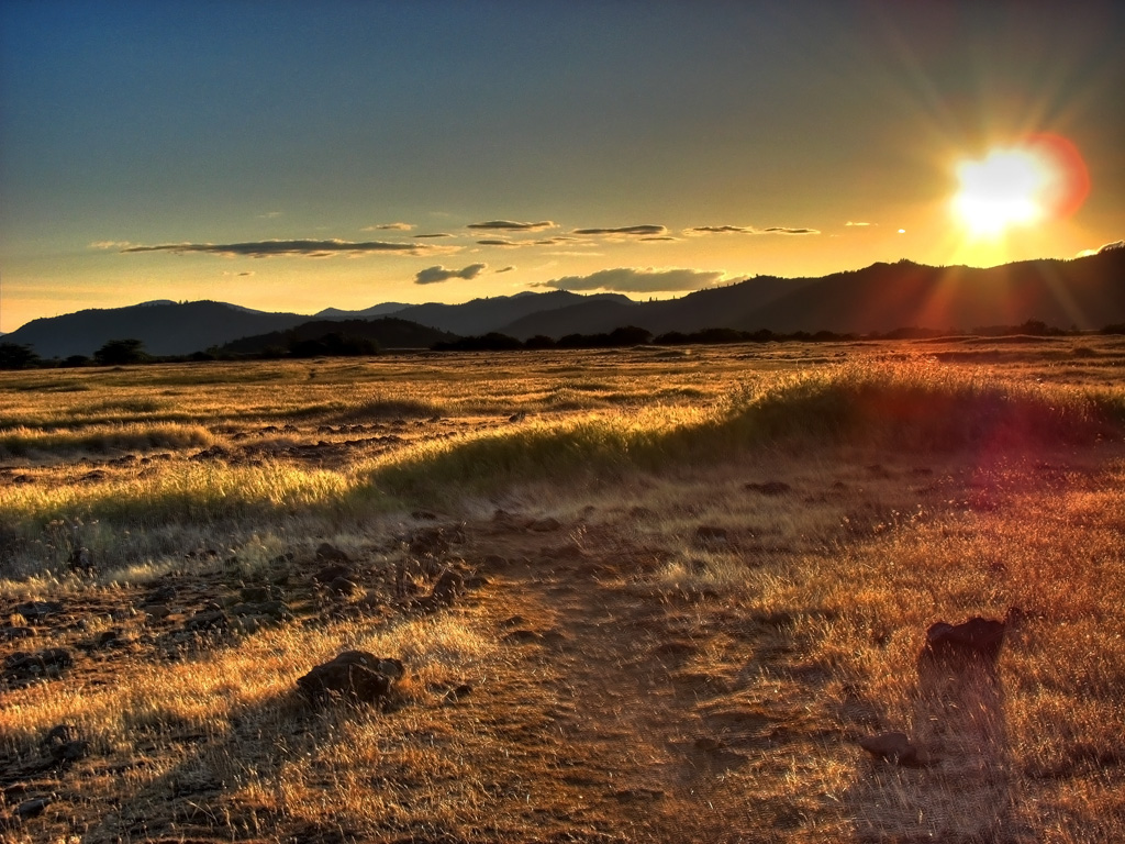
Golden Hue
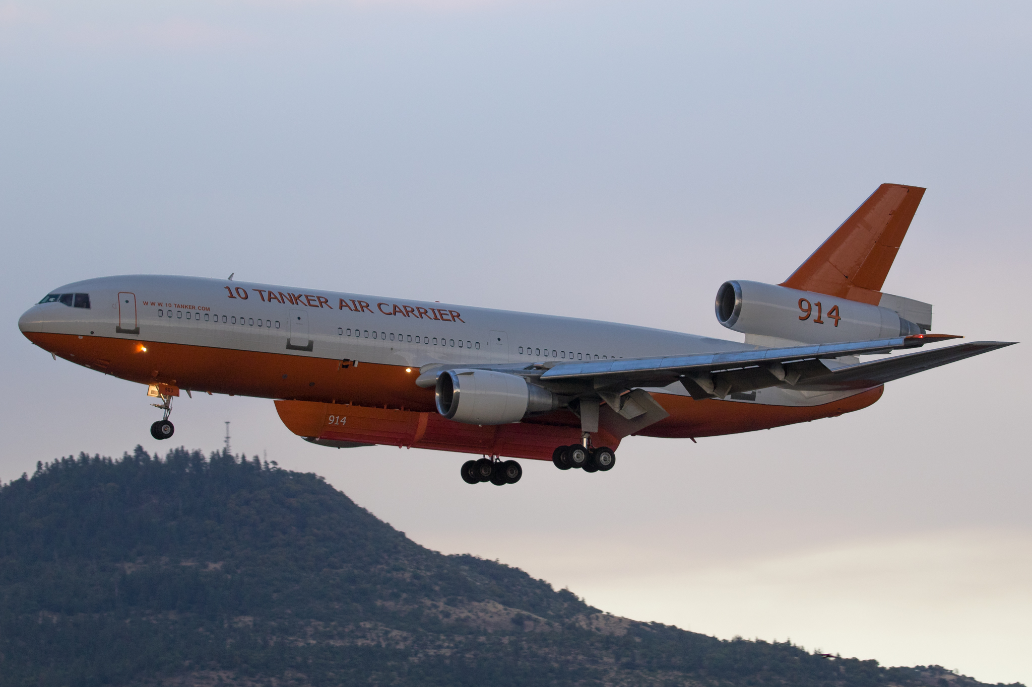
N603AX 10 Tanker Air Carrier DC-10 Tanker 914

Hiking Lower Table Rock
Hiking Lower Table Rock

N374AC AeroFlite Avro RJ85 Tanker 164

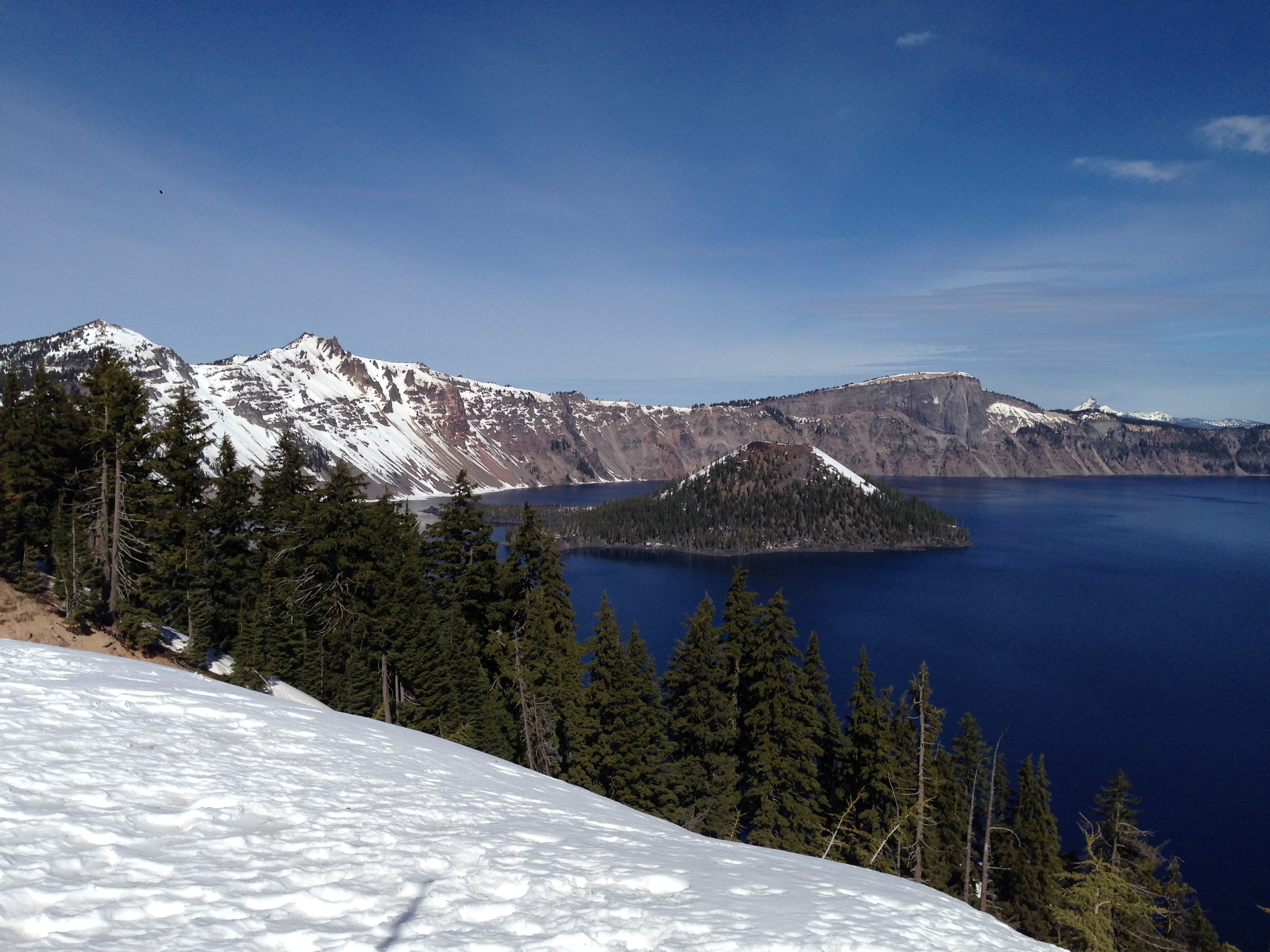
Crater Lake
Hiking Lower Table Rock

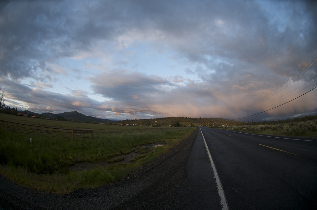
Rogue Valley Roadside, Eagle Point Oregon 5:51 a.m. 5/13/16
Hiking Lower Table Rock
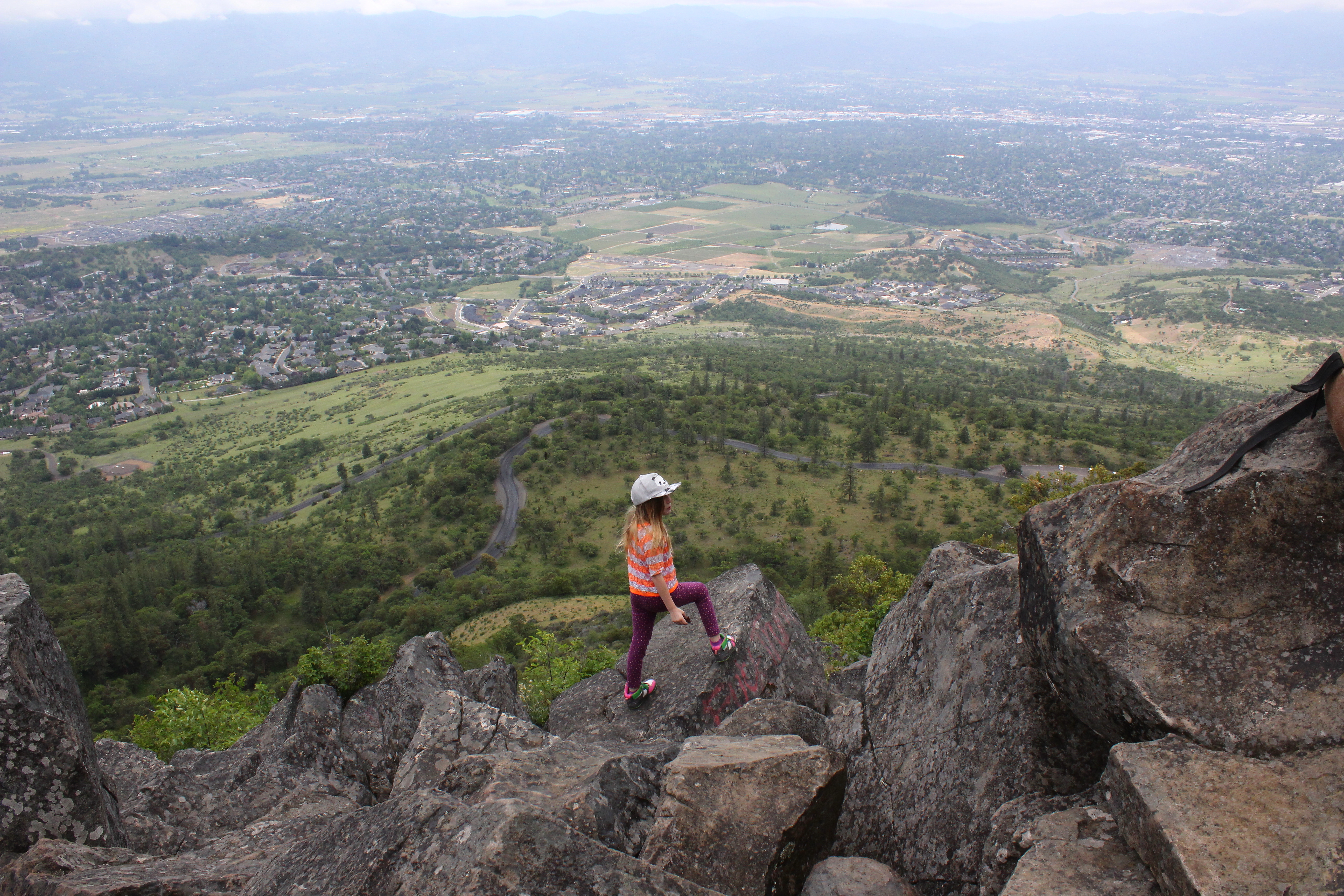
Coral Rae explores the summit

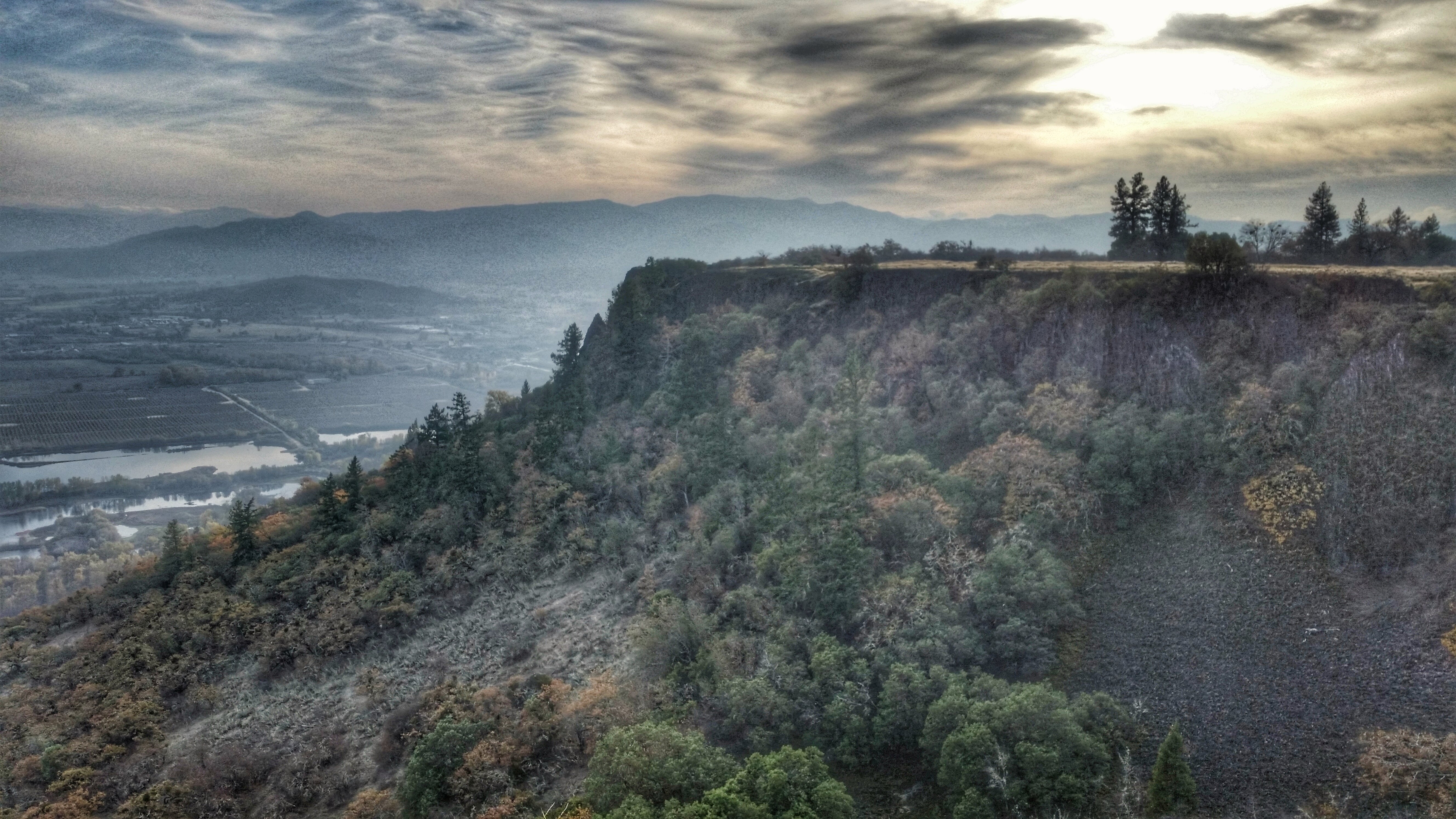
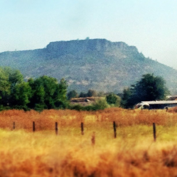
Table Rock
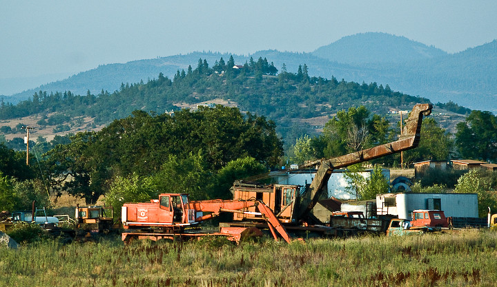
Logging Equipment 4

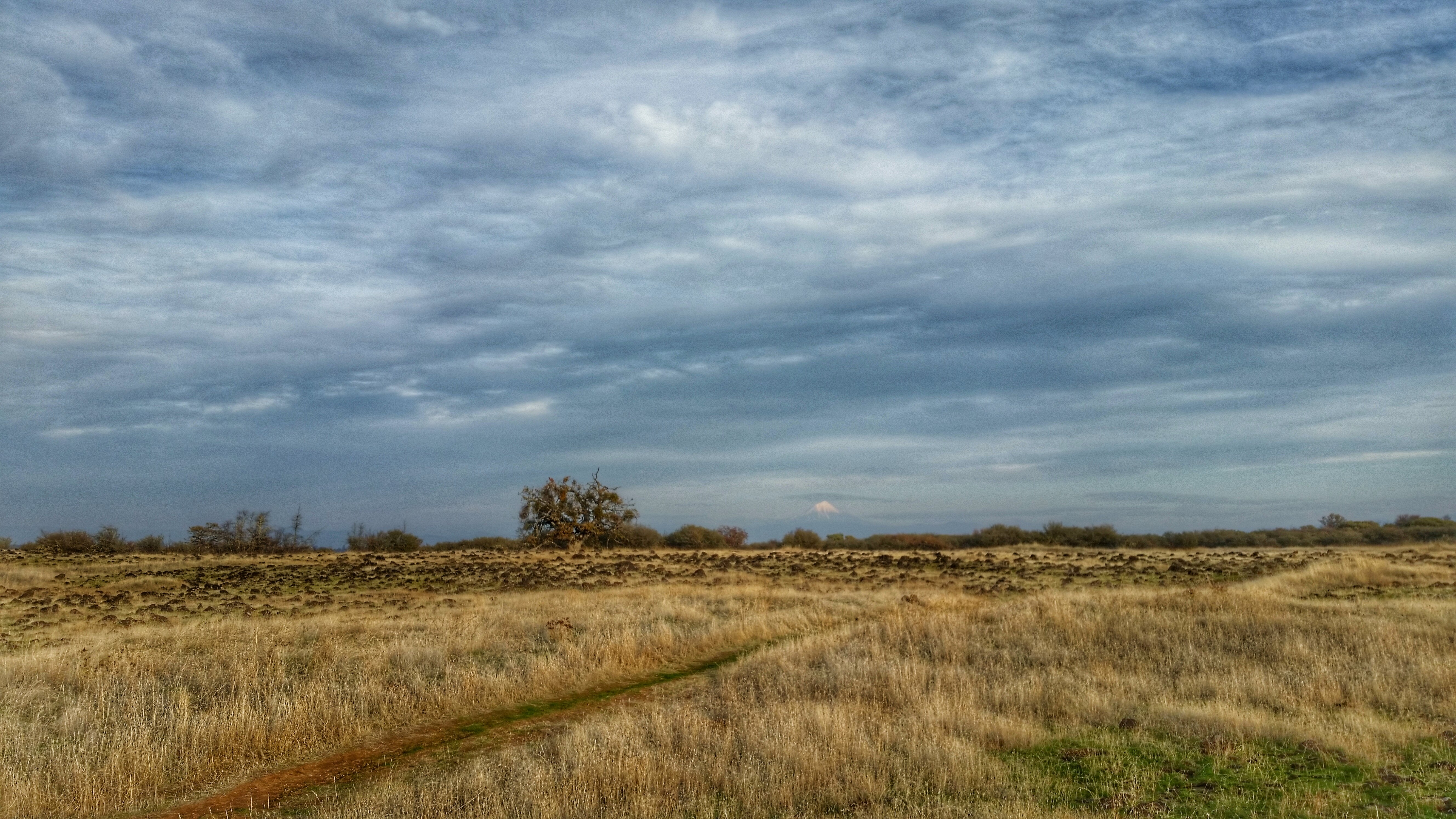
Rogue Valley Oregon
Sweet butte!
Hiking Lower Table Rock

N75435 United Airlines Boeing 737-900 (Continental Retro livery)
Oregon Road
Hiking Lower Table Rock
Topographic Map of Ayres Rd, Eagle Point, OR, USA
Find elevation by address:

Places near Ayres Rd, Eagle Point, OR, USA:
2373 Brownsboro-eagle Point Hwy
1404 Brownsboro-eagle Point Hwy
633 E Archwood Dr
1068 Coral Ridge
2387 Brophy Rd
Bellerive Drive
Eagle Point High School
Eagle Point
251 Northview Dr
979 Win Way
246 Prairie Landing Dr
2345 Brownsboro Meridian Rd
288 Princeville Dr
227 Princeville Dr
3055 Butte Falls Hwy
3055 Butte Falls Hwy
1008 Lexington Dr
3600 Ave G
50 Butte Falls Hwy
White City
Recent Searches:
- Elevation of Côte-des-Neiges, Montreal, QC H4A 3J6, Canada
- Elevation of Bobcat Dr, Helena, MT, USA
- Elevation of Zu den Ihlowbergen, Althüttendorf, Germany
- Elevation of Badaber, Peshawar, Khyber Pakhtunkhwa, Pakistan
- Elevation of SE Heron Loop, Lincoln City, OR, USA
- Elevation of Slanický ostrov, 01 Námestovo, Slovakia
- Elevation of Spaceport America, Co Rd A, Truth or Consequences, NM, USA
- Elevation of Warwick, RI, USA
- Elevation of Fern Rd, Whitmore, CA, USA
- Elevation of 62 Abbey St, Marshfield, MA, USA