Elevation of Brownsboro-Eagle Point Hwy, Eagle Point, OR, USA
Location: United States > Oregon > Eagle Point >
Longitude: -122.76538
Latitude: 42.483058
Elevation: -10000m / -32808feet
Barometric Pressure: 295KPa
Elevation Map:
Satellite Map:
Related Photos:

Harnessing the sun

The view from Roxy Ann Peak's summit

Partial view on the way down

Summit view panorama

Southeast Medford dominated the view
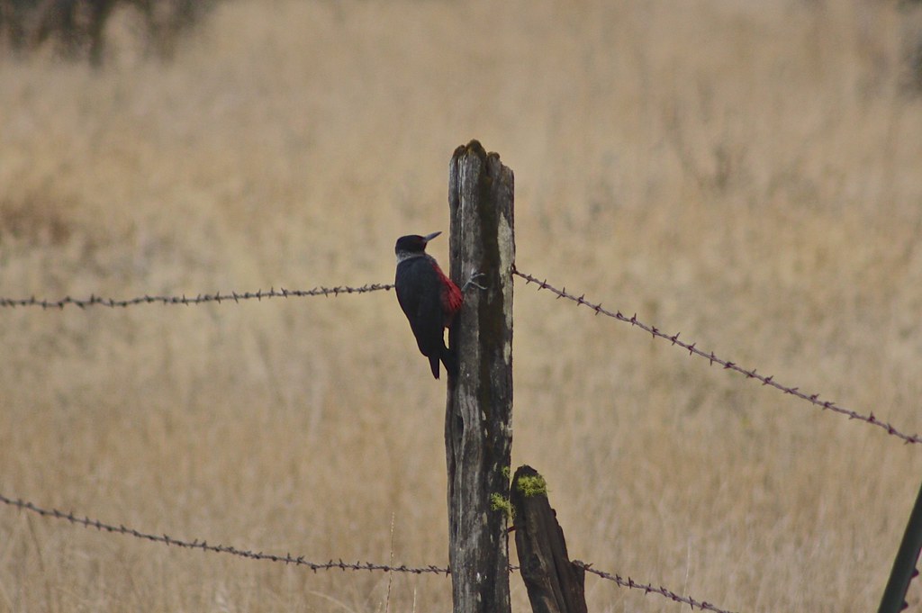
Lewis's Woodpecker (Melanerpes lewis)

I love the view from my house! ????

Sunrise from the Columbia river gorge

View of Medford Oregon from Upper Table Rock, looking South.

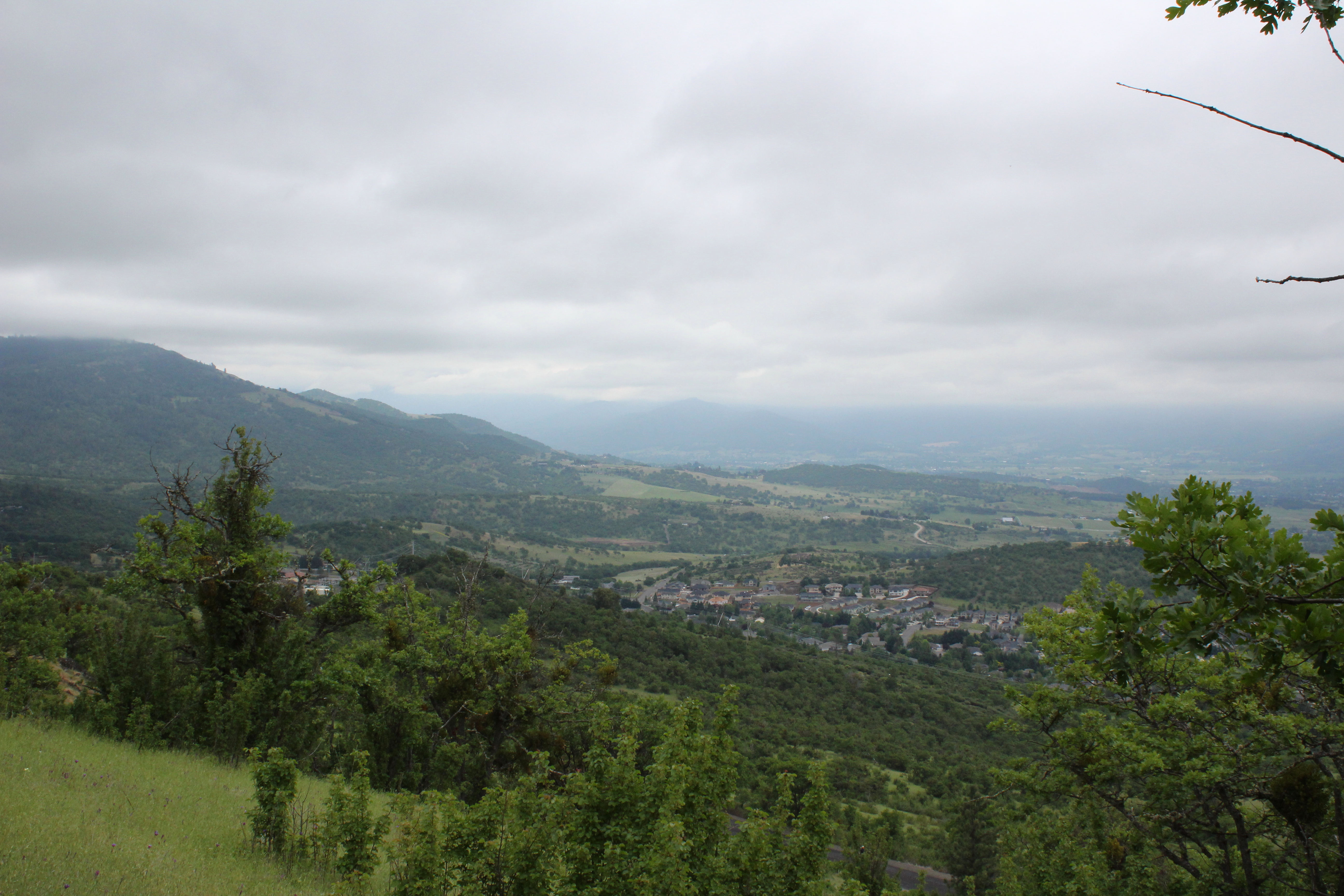
We had a great view of Bear Creek Valley
Clouds took away the mountain views
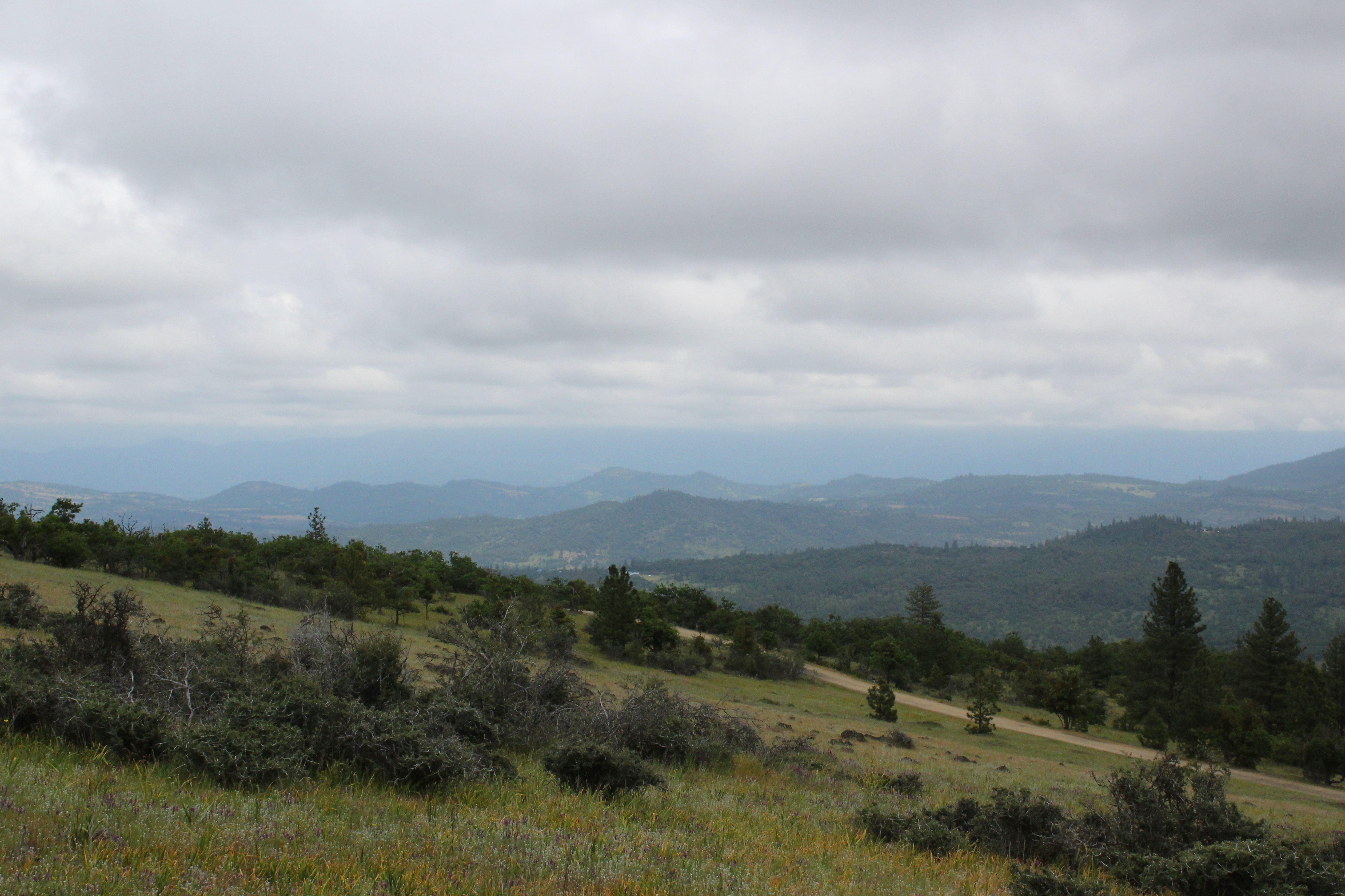
View towards the Cascades

View to south Medford
View of the lake

MFR14JUL92 02
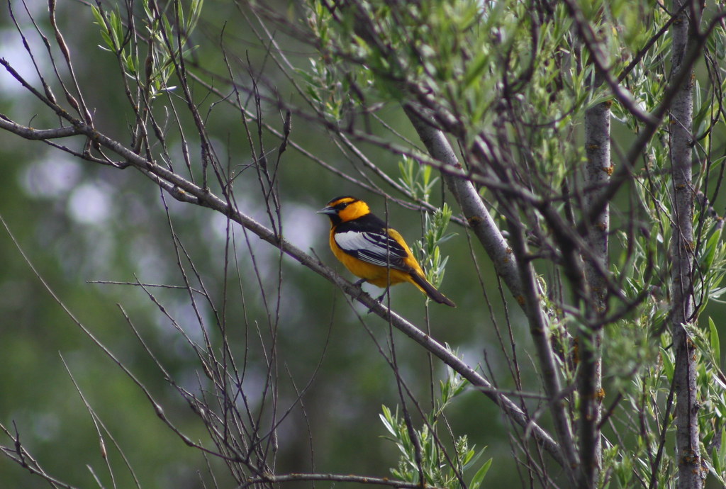
Bullock's Oriole (Icterus bullockii)

DAY 41/365: Shank's Pony

View from White City OR Motel of Mt McLoughlin

Roundup: JB Dimick readies cows and calves for new pasture. Eagle Point, Oregon 5:14 p.m. 5/11/16

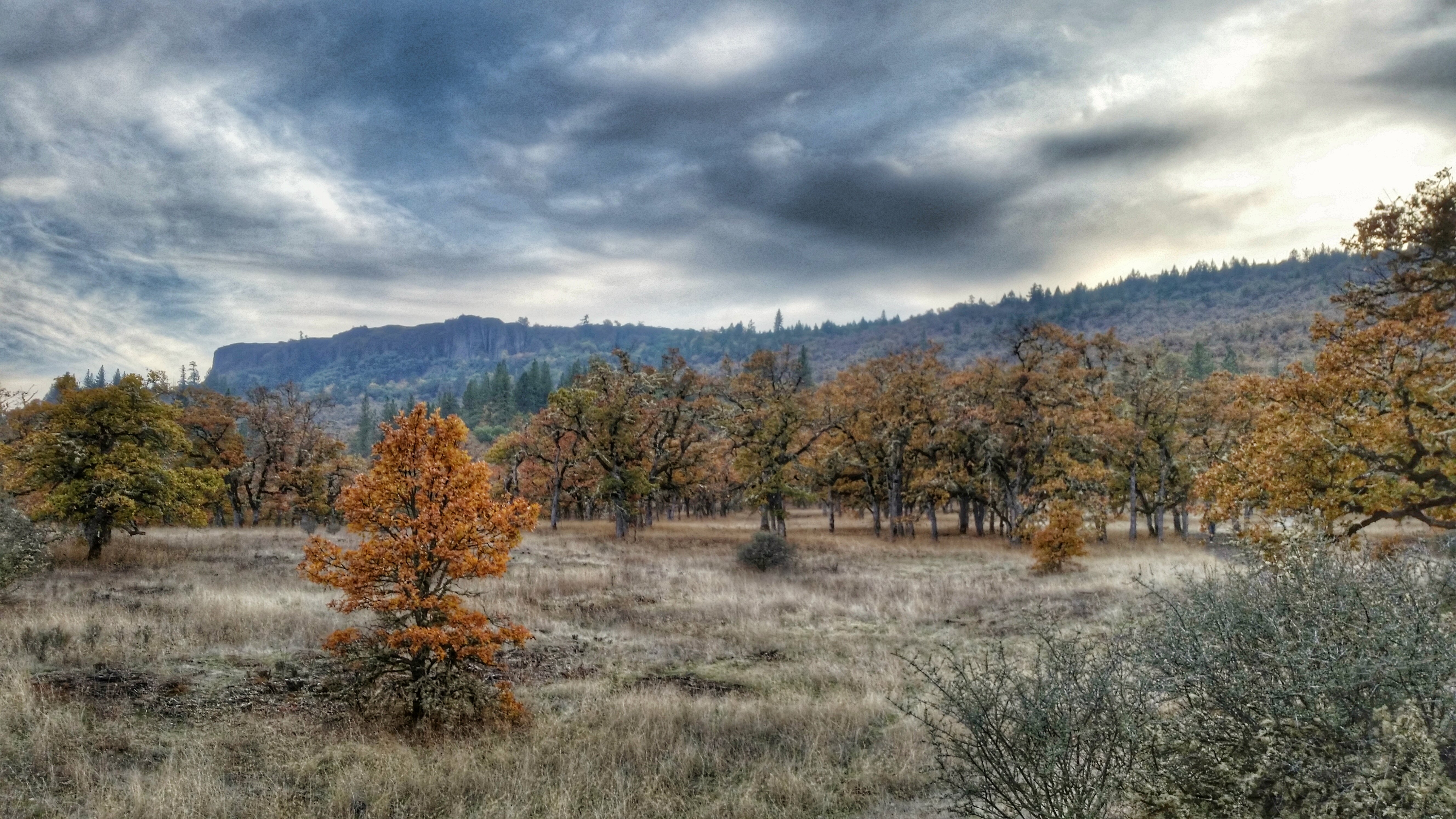
sentinel of wide open spaces

Coral Rae explores the summit

Hiking Upper Table Rock

Mount McLoughlin

Golden Hue
Hiking Lower Table Rock

Hiking Lower Table Rock
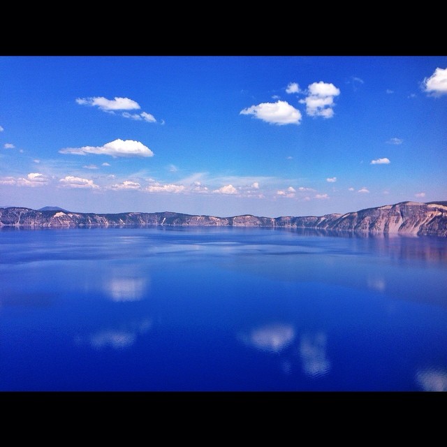
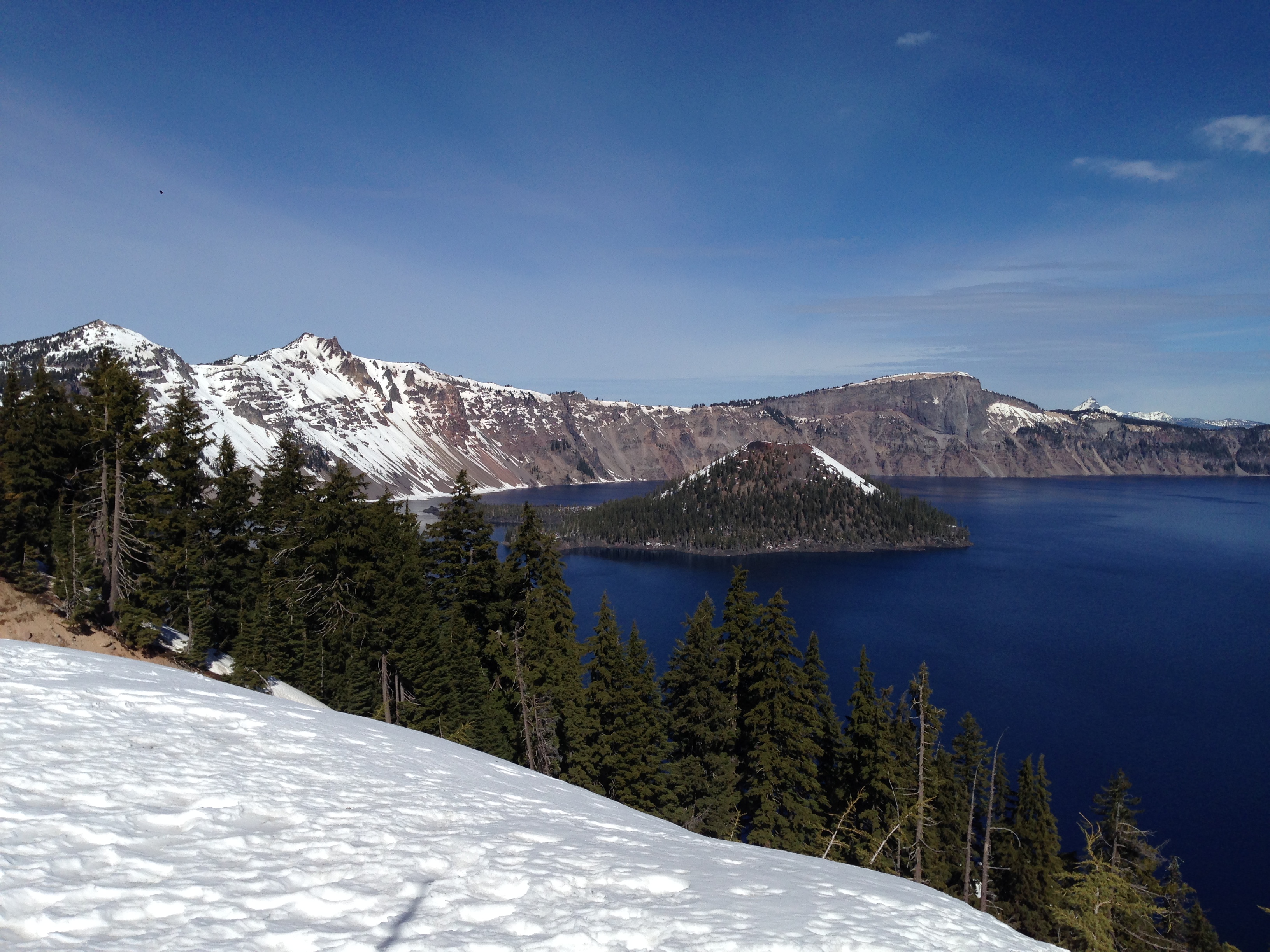
Crater Lake

Hiking Lower Table Rock

Rogue Valley Roadside, Eagle Point Oregon 5:51 a.m. 5/13/16

Medford lights from Roxy Ann Drive

Hiking Lower Table Rock

Table Rock

Logging Equipment 4

Rogue Valley Oregon

Hiking Lower Table Rock

Oregon Road

N75435 United Airlines Boeing 737-900 (Continental Retro livery)
Hiking Lower Table Rock
Topographic Map of Brownsboro-Eagle Point Hwy, Eagle Point, OR, USA
Find elevation by address:

Places near Brownsboro-Eagle Point Hwy, Eagle Point, OR, USA:
900 Ayres Rd
1404 Brownsboro-eagle Point Hwy
2387 Brophy Rd
633 E Archwood Dr
1068 Coral Ridge
Bellerive Drive
Eagle Point High School
2345 Brownsboro Meridian Rd
Eagle Point
251 Northview Dr
979 Win Way
246 Prairie Landing Dr
227 Princeville Dr
288 Princeville Dr
3055 Butte Falls Hwy
3055 Butte Falls Hwy
50 Butte Falls Hwy
1008 Lexington Dr
3600 Ave G
White City
Recent Searches:
- Elevation of W Granada St, Tampa, FL, USA
- Elevation of Pykes Down, Ivybridge PL21 0BY, UK
- Elevation of Jalan Senandin, Lutong, Miri, Sarawak, Malaysia
- Elevation of Bilohirs'k
- Elevation of 30 Oak Lawn Dr, Barkhamsted, CT, USA
- Elevation of Luther Road, Luther Rd, Auburn, CA, USA
- Elevation of Unnamed Road, Respublika Severnaya Osetiya — Alaniya, Russia
- Elevation of Verkhny Fiagdon, North Ossetia–Alania Republic, Russia
- Elevation of F. Viola Hiway, San Rafael, Bulacan, Philippines
- Elevation of Herbage Dr, Gulfport, MS, USA