Elevation of Persia, IA, USA
Location: United States > Iowa > Harrison County > Washington >
Longitude: -95.566948
Latitude: 41.5805459
Elevation: 356m / 1168feet
Barometric Pressure: 97KPa
Elevation Map:
Satellite Map:
Related Photos:

Union Hotel - Neola, IA

Union Hotel - Neola, IA

City Hall - Portsmouth, IA

Loess Hills Landscape (Harrison County, Iowa)

Life in the Heartland

Loess Hills Landscape (Harrison County, Iowa)

Bike Trail

Iowa, Pottawattamie County
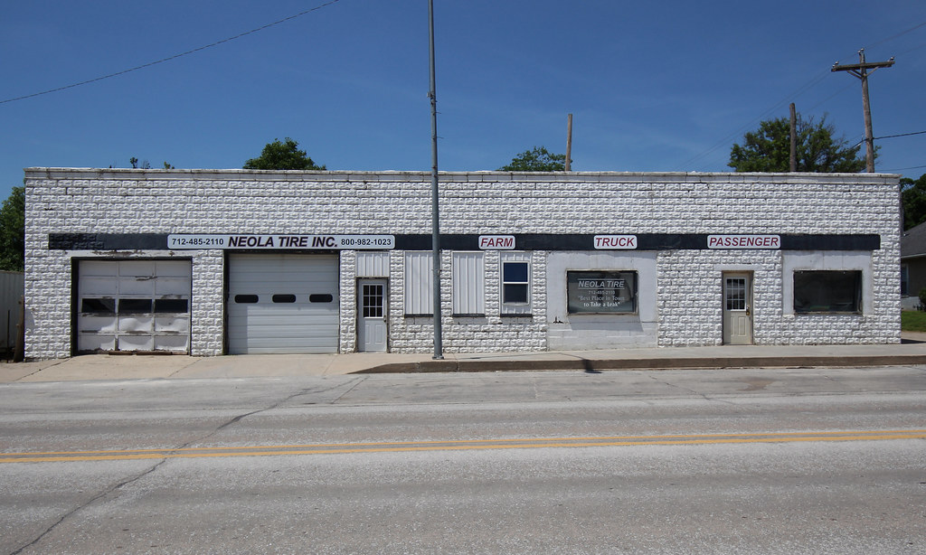
Neola Tire - Neola, IA

Downtown Building - Neola, IA
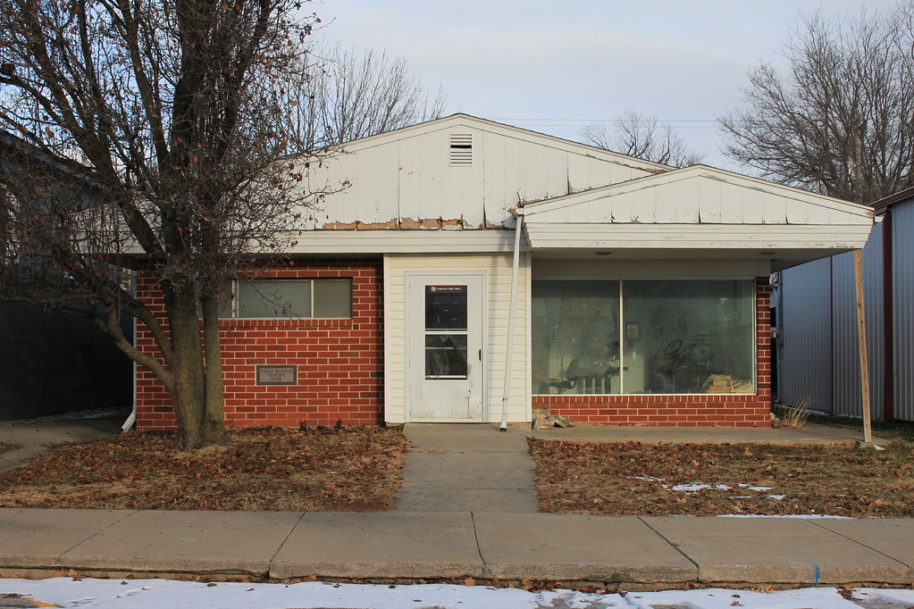
Neola Medical Center Building - Neola, IA

Union Hotel - Neola, IA

Post Office - Neola, IA

20171227-IMG_1362

Corn Field

Lehan Pharmacy - Minden, IA
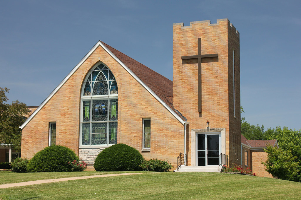
United Church of Christ - Minden, IA

Fire Station & City Hall - Minden, IA

Farmers & Merchants State Bank - Minden, IA
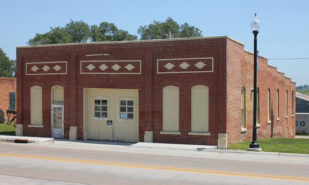
Garage - Minden, IA
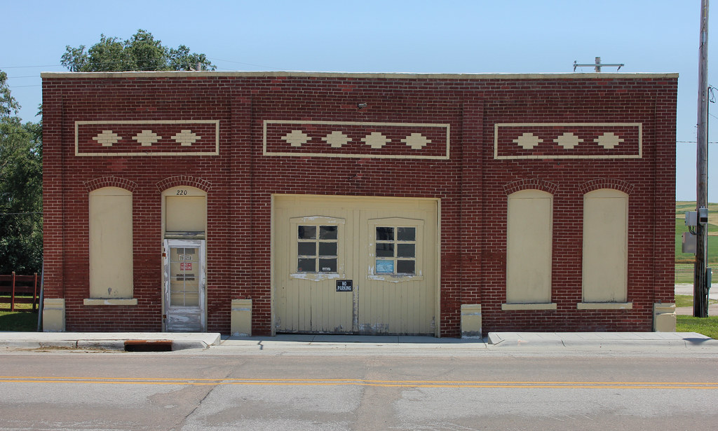
Garage - Minden, IA
Tennant Methodist Church (Former) - Tennant, IA

Town Hall - Tennant, IA

Town Hall - Tennant, IA

Masonic Hall - Shelby, IA

United Methodist Church - Shelby, IA

Fire Station - Shelby, IA
Topographic Map of Persia, IA, USA
Find elevation by address:

Places near Persia, IA, USA:
Washington
3707 315th St
Portsmouth
Main St, Portsmouth, IA, USA
Cass
Shelby
2nd St, Minden, IA, USA
Stevens Ave, Tennant, IA, USA
Tennant
Front St, Neola, IA, USA
Neola
Pottawattamie County
27476 390th St
Westphalia
Colony St, Westphalia, IA, USA
James
1St St E, Harlan, IA, USA
Fairview
Fairview
Fairview
Recent Searches:
- Elevation of Scenic Shore Dr, Kingwood Area, TX, USA
- Elevation of W Prive Cir, Delray Beach, FL, USA
- Elevation of S Layton Cir W, Layton, UT, USA
- Elevation of F36W+3M, Mussoorie, Uttarakhand, India
- Elevation of Fairland Ave, Fairhope, AL, USA
- Elevation of Sunset Dr, Richmond, VA, USA
- Elevation of Grodna District, Hrodna Region, Belarus
- Elevation of Hrodna, Hrodna Region, Belarus
- Elevation of Sandia Derby Estates, Tijeras, NM, USA
- Elevation of 23 Sunrise View Ct, Tijeras, NM, USA