Elevation of Harrison County, IA, USA
Location: United States > Iowa >
Longitude: -95.8142885
Latitude: 41.6933855
Elevation: 385m / 1263feet
Barometric Pressure: 0KPa
Related Photos:

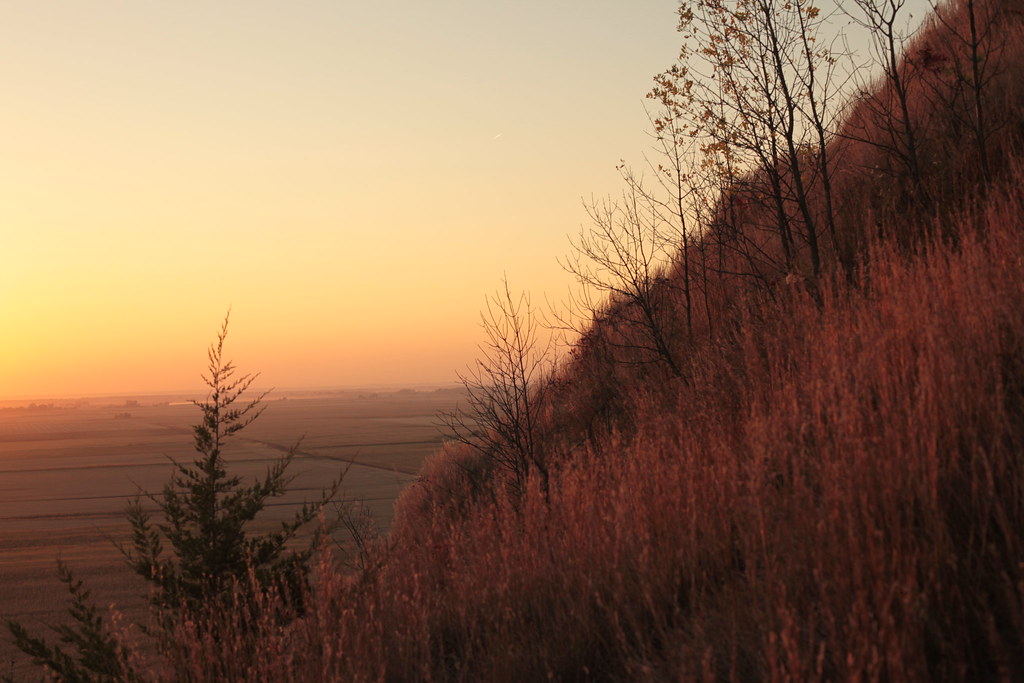
Top of the Second Climb HDR

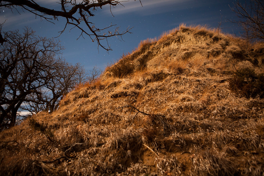
View From the Top HDR

Oaks Up Above

Hall of Justice

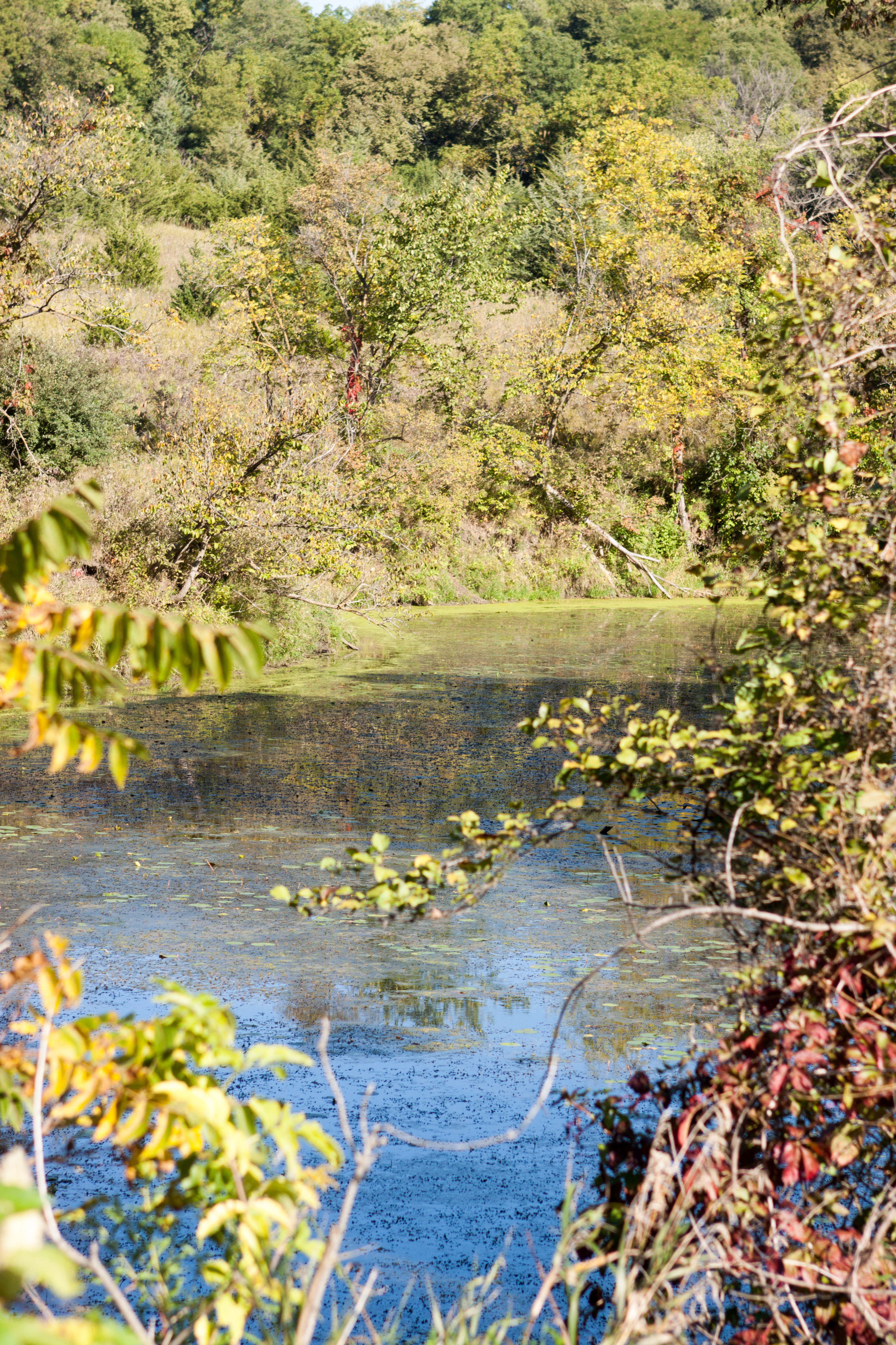
Loess Hills State Forest-Mondamin Unit
Sept 21 Aronia Festival-3

Road to Nowhere

Life in the Heartland

Large clear slot
Little Souix Loess Hills
Loess Hills Mondamin Iowa

Loess Hills State Forest-Mondamin Unit 2

Loess Hills Mondamin Iowa

Leonard's Skipper (Hesperia leonardus) (leonardus-pawnee intergrade)
Topographic Map of Harrison County, IA, USA
Find elevation by address:

Places in Harrison County, IA, USA:
Raglan
Little Sioux
Jefferson
Taylor
St. John
Maple St, Mondamin, IA, USA
Clay
Woodbine
Washington
Lincolnway St, Woodbine, IA, USA
Places near Harrison County, IA, USA:
Logan
E 7th St, Logan, IA, USA
Jefferson
Woodbine
Lincolnway St, Woodbine, IA, USA
Hillside Ave, Mondamin, IA, USA
Raglan
310 Lincoln Hwy
Taylor
222 N 7th St
Missouri Valley
St. John
1984 Sawyer Trail
3153 Loess Hills Trail
717 W Huron St
Merrick Pl, Missouri Valley, IA, USA
100 N Willow Rd
3154 Italy Ave
3446 Locust Ave
Maple St, Mondamin, IA, USA
Recent Searches:
- Elevation map of Greenland, Greenland
- Elevation of Sullivan Hill, New York, New York, 10002, USA
- Elevation of Morehead Road, Withrow Downs, Charlotte, Mecklenburg County, North Carolina, 28262, USA
- Elevation of 2800, Morehead Road, Withrow Downs, Charlotte, Mecklenburg County, North Carolina, 28262, USA
- Elevation of Yangbi Yi Autonomous County, Yunnan, China
- Elevation of Pingpo, Yangbi Yi Autonomous County, Yunnan, China
- Elevation of Mount Malong, Pingpo, Yangbi Yi Autonomous County, Yunnan, China
- Elevation map of Yongping County, Yunnan, China
- Elevation of North 8th Street, Palatka, Putnam County, Florida, 32177, USA
- Elevation of 107, Big Apple Road, East Palatka, Putnam County, Florida, 32131, USA
- Elevation of Jiezi, Chongzhou City, Sichuan, China
- Elevation of Chongzhou City, Sichuan, China
- Elevation of Huaiyuan, Chongzhou City, Sichuan, China
- Elevation of Qingxia, Chengdu, Sichuan, China
- Elevation of Corso Fratelli Cairoli, 35, Macerata MC, Italy
- Elevation of Tallevast Rd, Sarasota, FL, USA
- Elevation of 4th St E, Sonoma, CA, USA
- Elevation of Black Hollow Rd, Pennsdale, PA, USA
- Elevation of Oakland Ave, Williamsport, PA, USA
- Elevation of Pedrógão Grande, Portugal