Elevation of Lincoln Hwy, Missouri Valley, IA, USA
Location: United States > Iowa > Harrison County > St. John > Missouri Valley >
Longitude: -95.879743
Latitude: 41.5604489
Elevation: 319m / 1047feet
Barometric Pressure: 98KPa
Elevation Map:
Satellite Map:
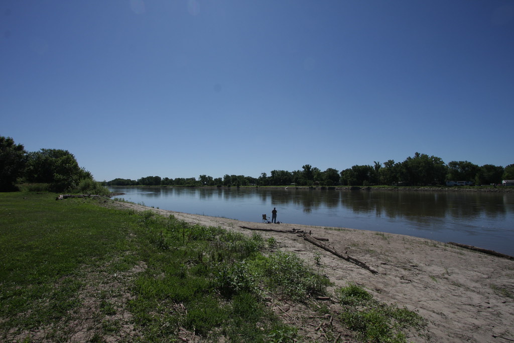
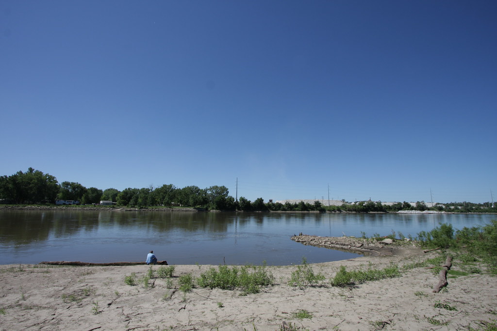
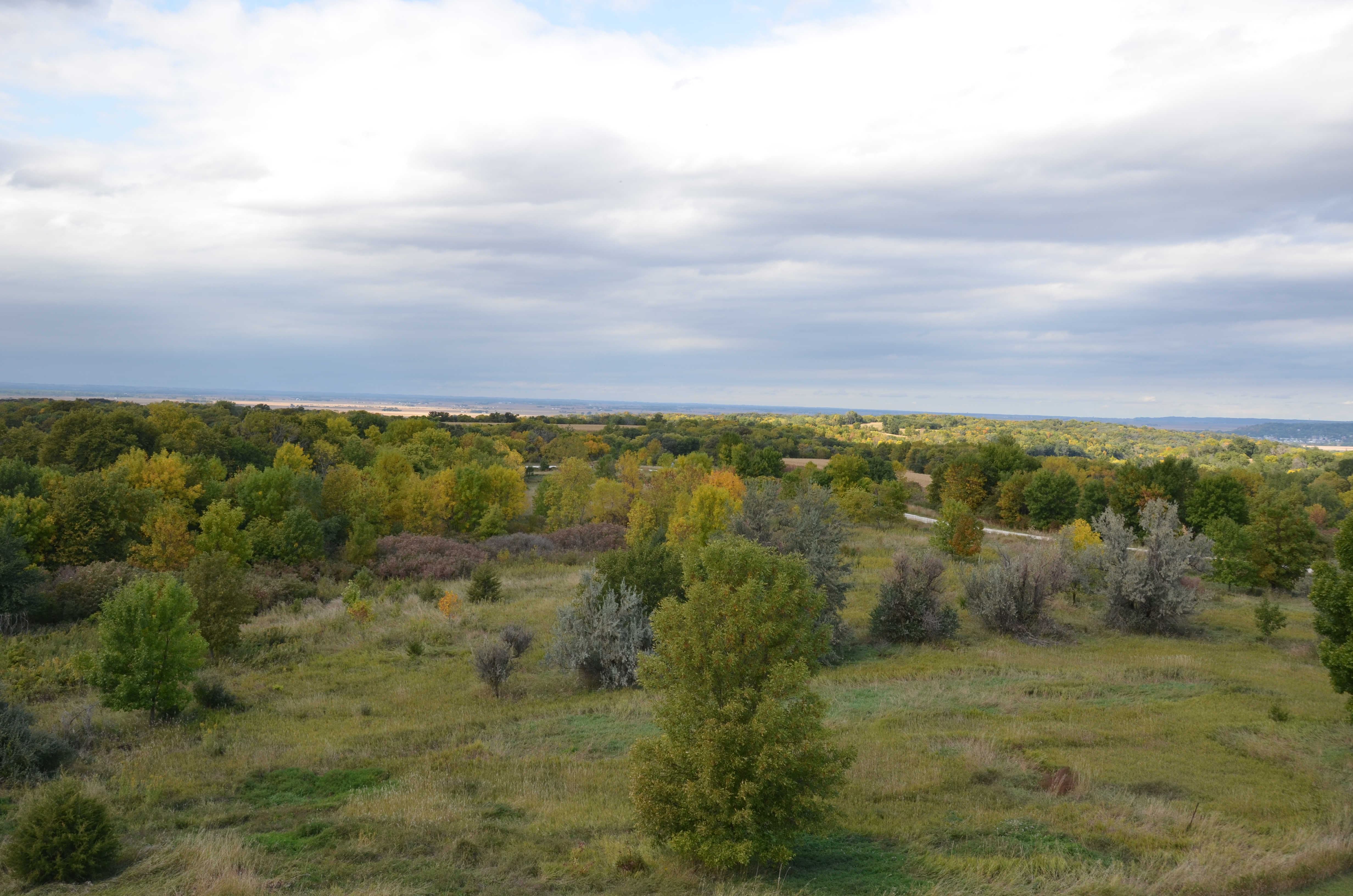
Related Photos:

Peaceful Evening
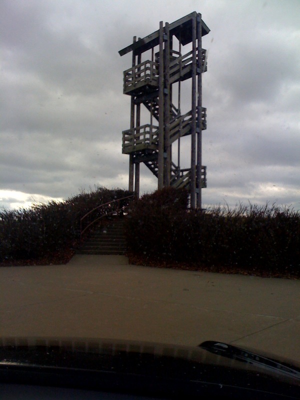
Iowa-South Dakota 10-13 019
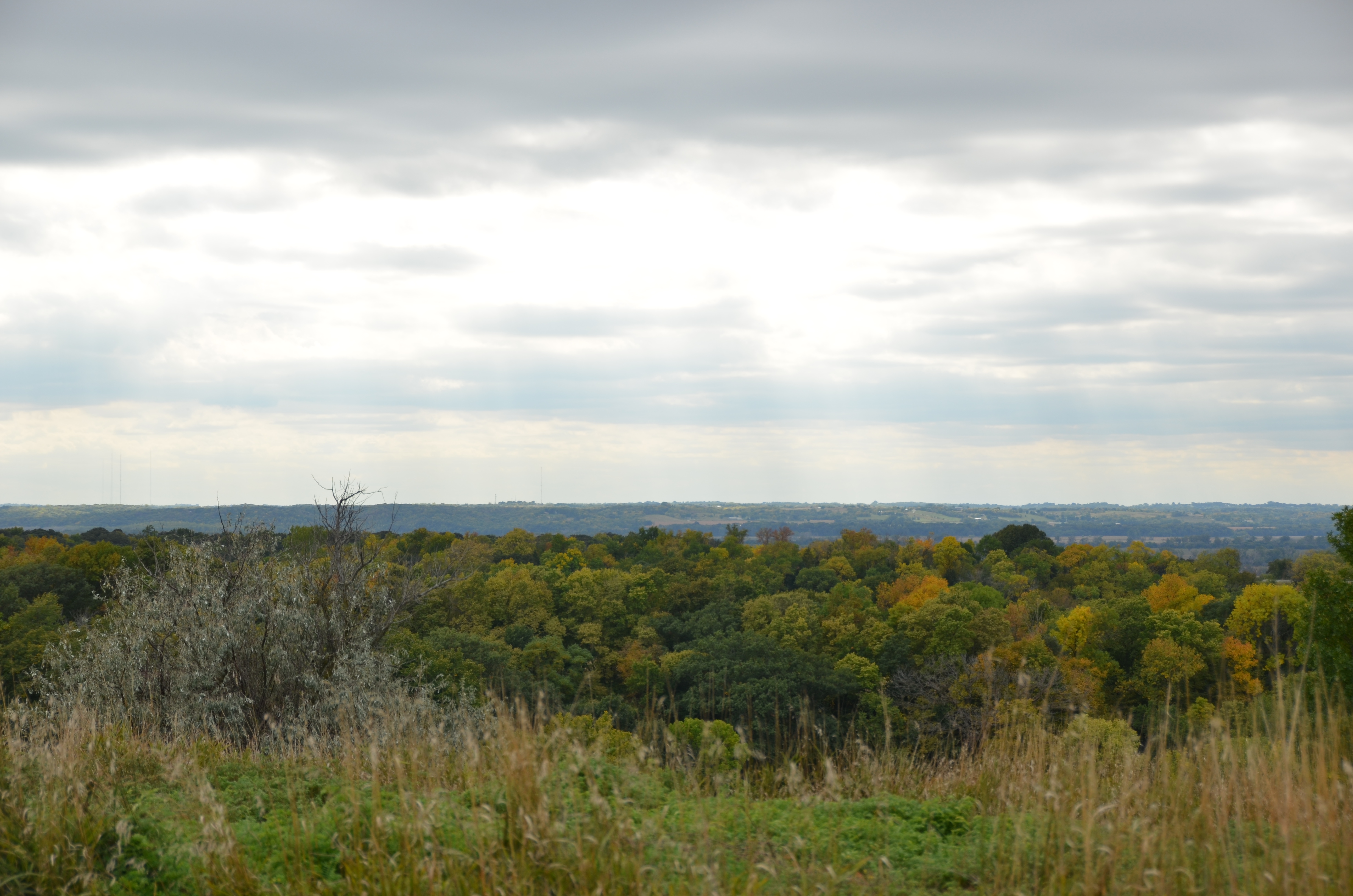
Scenic view
Iowa-South Dakota 10-13 016

Hitchcock Dead end

Through Rose Colored Glasses
Sept 21 Aronia Festival-3

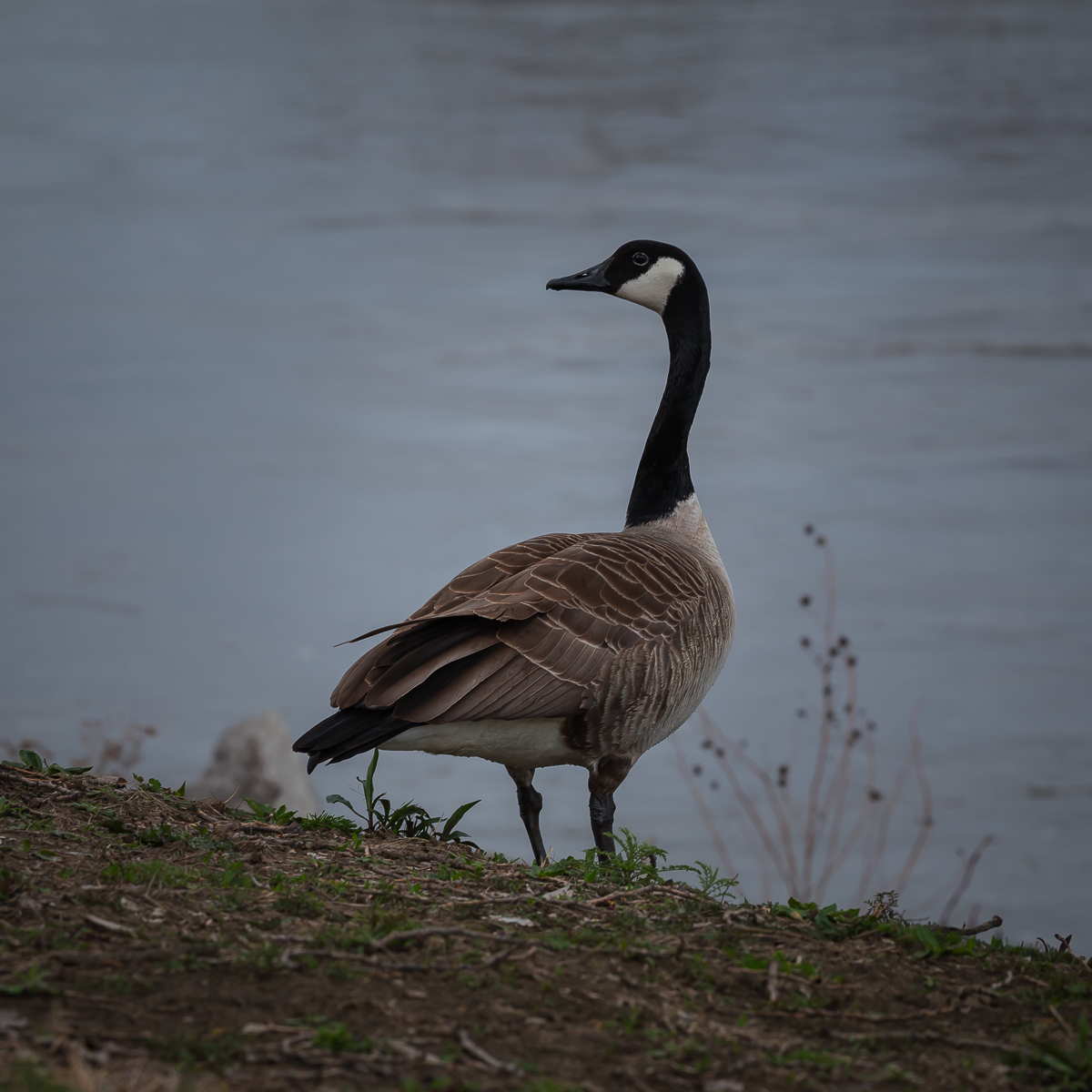
Geece at DeSoto
Boyer Chute "Beach"

Penguins In Nebraska

Penguins In Nebraska

Penguins In Nebraska

Penguins In Nebraska
Penguins In Nebraska

DeSoto National Wildlife Preserve

Penguins In Nebraska

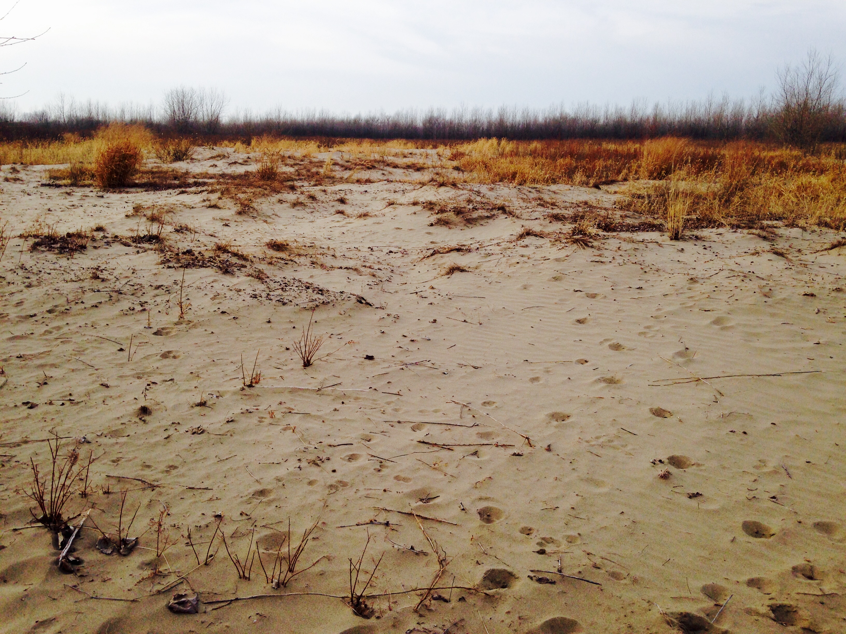
Road to Nowhere

The Missouri River Looking Upstream
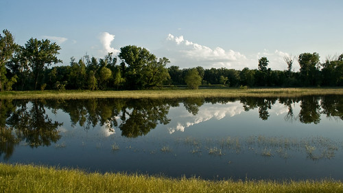
Midwest Reflected
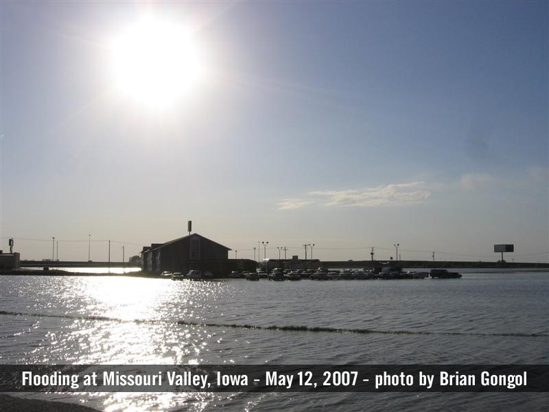
Flooded hotel at Missouri Valley
IMG_08142.JPG
IMG_08143.JPG
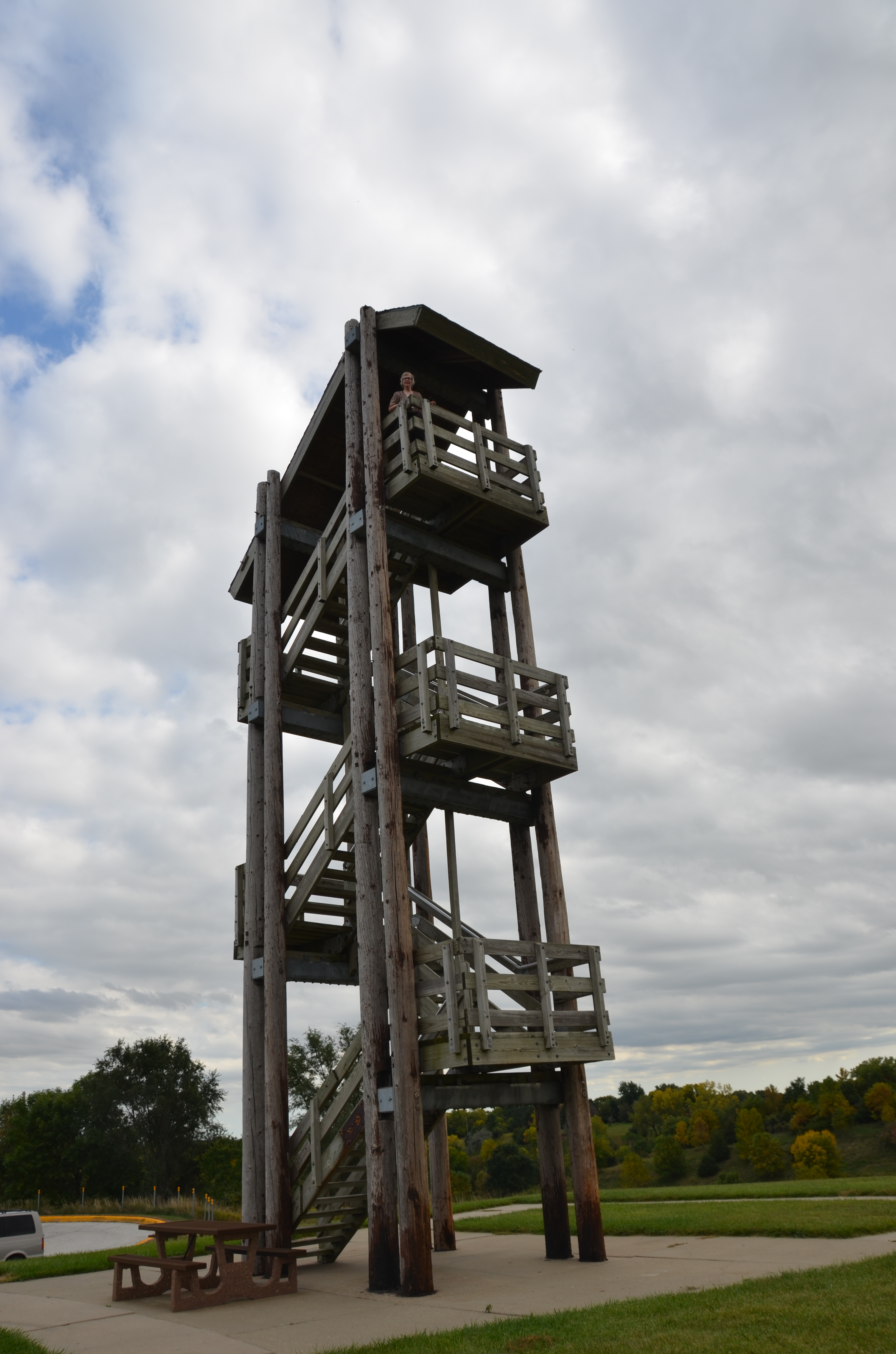
Iowa-South Dakota 10-13 009

Peoria Loess/Sangamon Paleosol/Loveland Loess

Sangamon Palesol in Loveland Loess
Topographic Map of Lincoln Hwy, Missouri Valley, IA, USA
Find elevation by address:

Places near Lincoln Hwy, Missouri Valley, IA, USA:
222 N 7th St
Missouri Valley
St. John
3153 Loess Hills Trail
717 W Huron St
100 N Willow Rd
Merrick Pl, Missouri Valley, IA, USA
3446 Locust Ave
3154 Italy Ave
Rockford
31422 170th St
Boomer
Logan
E 7th St, Logan, IA, USA
Honey Creek
Honey Creek Ln, Honey Creek, IA, USA
Taylor
29661 Coldwater Ave
th St, Honey Creek, IA, USA
Modale
Recent Searches:
- Elevation of 15th Ave SE, St. Petersburg, FL, USA
- Elevation of Beall Road, Beall Rd, Florida, USA
- Elevation of Leguwa, Nepal
- Elevation of County Rd, Enterprise, AL, USA
- Elevation of Kolchuginsky District, Vladimir Oblast, Russia
- Elevation of Shustino, Vladimir Oblast, Russia
- Elevation of Lampiasi St, Sarasota, FL, USA
- Elevation of Elwyn Dr, Roanoke Rapids, NC, USA
- Elevation of Congressional Dr, Stevensville, MD, USA
- Elevation of Bellview Rd, McLean, VA, USA