Elevation of Clay, IA, USA

Location: United States > Iowa > Harrison County >

Longitude: -96.046742

Latitude: 41.6615265

Elevation: 309m / 1014feet

Barometric Pressure: 98KPa

Elevation Map:

elevation map of Clay, IA, USA

Satellite Map:

Satellite map of Clay, IA, USA

Related Photos:

minnesota 2019 july july2019 vacation roadtrip 2019vacation 2019roadtrip minnesota2019roadtrip minnesota2019vacation drive driving driver driverpic ontheroad road highway iowa harrisoncounty missourivalley interstate freeway interstate29 i29 northbound northboundi29 lewisandclarktrail sign shieldsigns exit75 usa
Northbound I-35 in Iowa, 12 July 2019
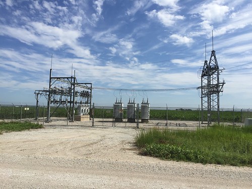
nebraska substation electricity sky
Burt County PPD sub Road 43 and County Road E
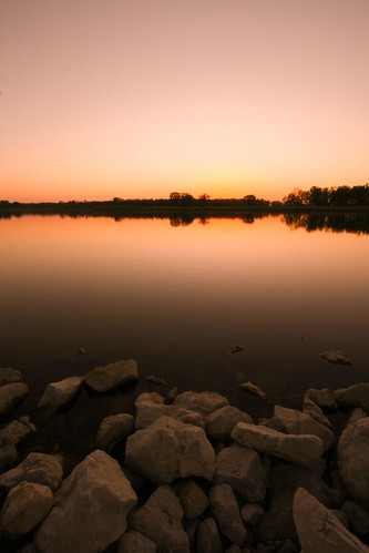
sunset reflections withthecamera desotobendnationalwildliferefuge aneagleflewoverhead andlandedinanearbytree butthesunsihouettedhim sopauldecided tojumpthefence togetabettershot ifyoulookrealclose youcanseehim
Peaceful Evening
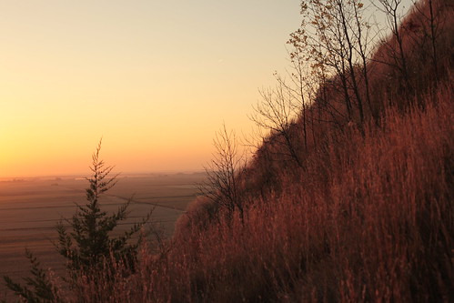
winter nature rural rebel xt aperture raw hiking farming iowa hike hills trail hawkeye local bluffs pivot hdr irrigation appleaperture loess loesshills lowiso wetknees hdroutput
View From the Top HDR
winter snow nature rebel xt oak aperture raw forrest hiking iowa hike hills trail bluffs hdr appleaperture loesshills lowiso wetknees hdroutput
Top of the Second Climb HDR
winter nature rural rebel xt aperture raw hiking iowa hike hills trail hawkeye local bluffs appleaperture loess loesshills lowiso
Oaks Up Above
sunset wideangle desotobendnationalwildliferefuge
Through Rose Colored Glasses
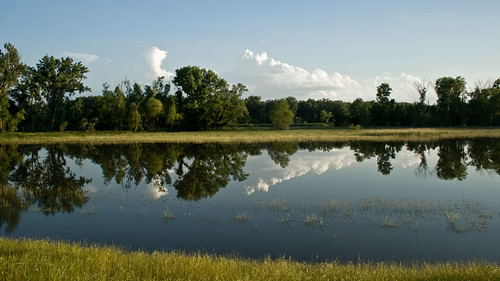
iowa missouririver desotobendnationalwildliferefuge
Midwest Reflected
forest iowa hills savanna loess
Little Souix Loess Hills
festival berry iowa missouri valley ia aronia
Sept 21 Aronia Festival-3
mobilephone iphone 2013
Geece at DeSoto
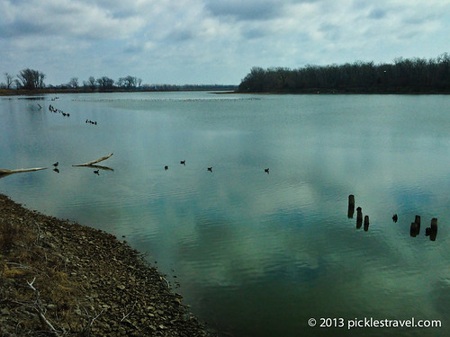
panorama water clouds reflections ripples ick butstill desotobendnationalwildliferefuge withhisson therewasaguythere spearfishingforcarp nowwhereigrewup youdidnoteatcarp theylivedintheeriecanal justattheendofmystreet iwassodisgustedwhenimoved tothemidwest andfoundoutpeoplehereeatthem theymaybedifferenthere
DeSoto Panorama
bif birdsinflight blairnebraska desotowildliferefuge march2016 pellican prarielandscape
Penguins In Nebraska
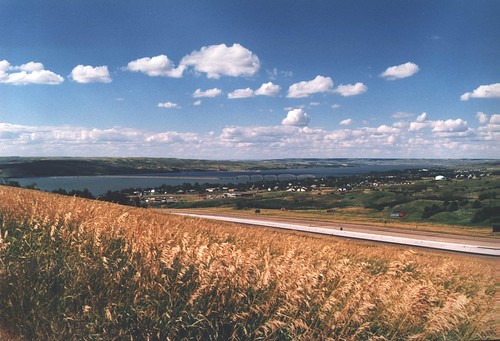
nature river iowa missouri i80 missouririver muddymo
US I80 approaching the muddy mo from the east
landscape iowa
Loess Hills Mondamin Iowa
bif birdsinflight blairnebraska desotowildliferefuge march2016 pellican prarielandscape urbandale iowa usa
Penguins In Nebraska
landscape iowa
Loess Hills Mondamin Iowa
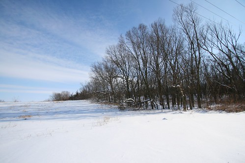
trees sky snow beautiful lines clouds landscape shadows power angle wide sunny bleak
Snowy Landscape
bif birdsinflight blairnebraska desotowildliferefuge march2016 pellican prarielandscape
Penguins In Nebraska
bif birdsinflight blairnebraska desotowildliferefuge march2016 pellican prarielandscape
Penguins In Nebraska
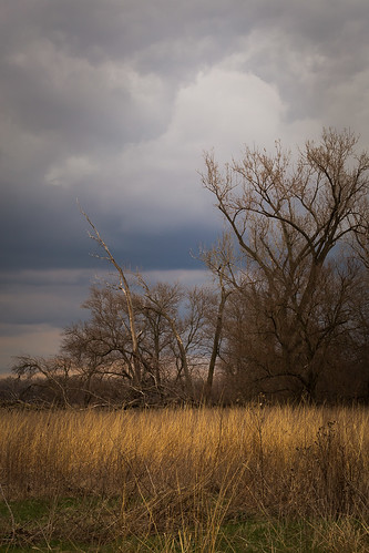
Deep and Dark Sunlight
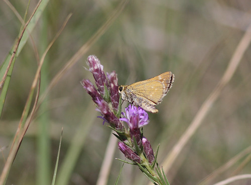
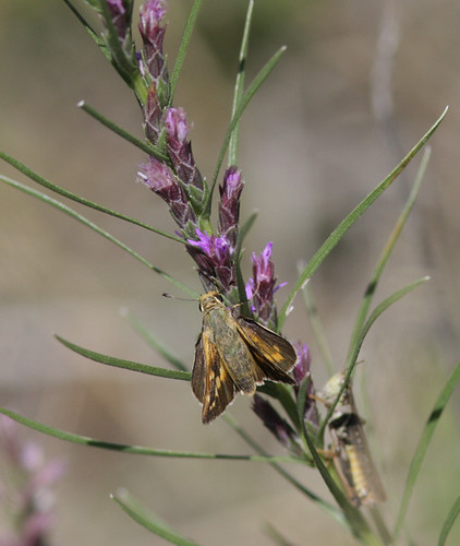
butterfly harrison skipper iowa loesshills leonardsskipper
Leonard's Skipper (Hesperia leonardus) (leonardus-pawnee intergrade)
butterfly harrison skipper iowa loesshills leonardsskipper
Leonard's Skipper (Hesperia leonardus) (leonardus-pawnee intergrade)
bif birdsinflight blairnebraska desotowildliferefuge march2016 pellican prarielandscape urbandale iowa usa
Penguins In Nebraska
usa unitedstates iowa westvirginia harrisoncounty missourivalley desotonationalwildliferefuge
DeSoto National Wildlife Refuge