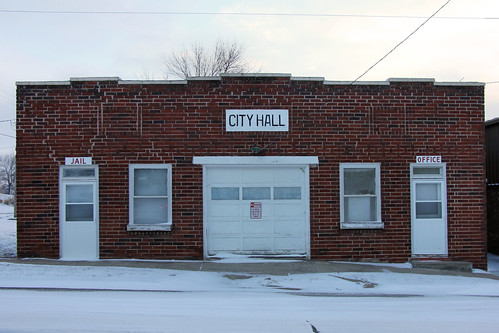
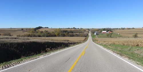
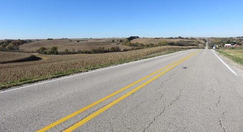
Elevation of Washington, IA, USA
Location: United States > Iowa > Harrison County >
Longitude: -95.540729
Latitude: 41.567665
Elevation: 382m / 1253feet
Barometric Pressure: 97KPa
Related Photos:
Topographic Map of Washington, IA, USA
Find elevation by address:

Places in Washington, IA, USA:
Places near Washington, IA, USA:
Persia
3707 315th St
Shelby
Portsmouth
Main St, Portsmouth, IA, USA
Cass
2nd St, Minden, IA, USA
Stevens Ave, Tennant, IA, USA
Tennant
Front St, Neola, IA, USA
Neola
27476 390th St
Pottawattamie County
1St St E, Harlan, IA, USA
Westphalia
Colony St, Westphalia, IA, USA
Fairview
Fairview
Fairview
Fairview
Recent Searches:
- Elevation of Dog Leg Dr, Minden, NV, USA
- Elevation of Dog Leg Dr, Minden, NV, USA
- Elevation of Kambingan Sa Pansol Atbp., Purok 7 Pansol, Candaba, Pampanga, Philippines
- Elevation of Pinewood Dr, New Bern, NC, USA
- Elevation of Mountain View, CA, USA
- Elevation of Foligno, Province of Perugia, Italy
- Elevation of Blauwestad, Netherlands
- Elevation of Bella Terra Blvd, Estero, FL, USA
- Elevation of Estates Loop, Priest River, ID, USA
- Elevation of Woodland Oak Pl, Thousand Oaks, CA, USA


