Elevation of Stevens Ave, Tennant, IA, USA
Location: United States > Iowa > Shelby County > Shelby > Tennant >
Longitude: -95.44175
Latitude: 41.594017
Elevation: 421m / 1381feet
Barometric Pressure: 96KPa
Elevation Map:
Satellite Map:
Related Photos:

View of the Square from the Pizza Ranch. Harlan, Iowa.
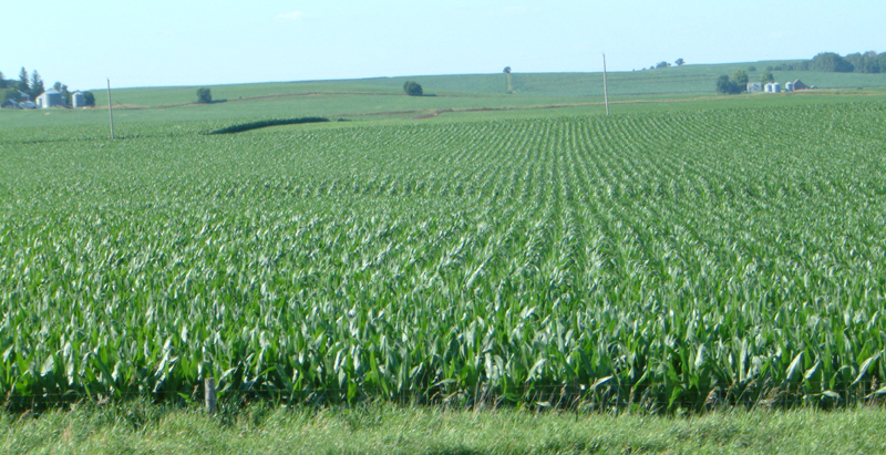
Corn on I-29
Loess Hills Landscape (Harrison County, Iowa)
Loess Hills Landscape (Harrison County, Iowa)

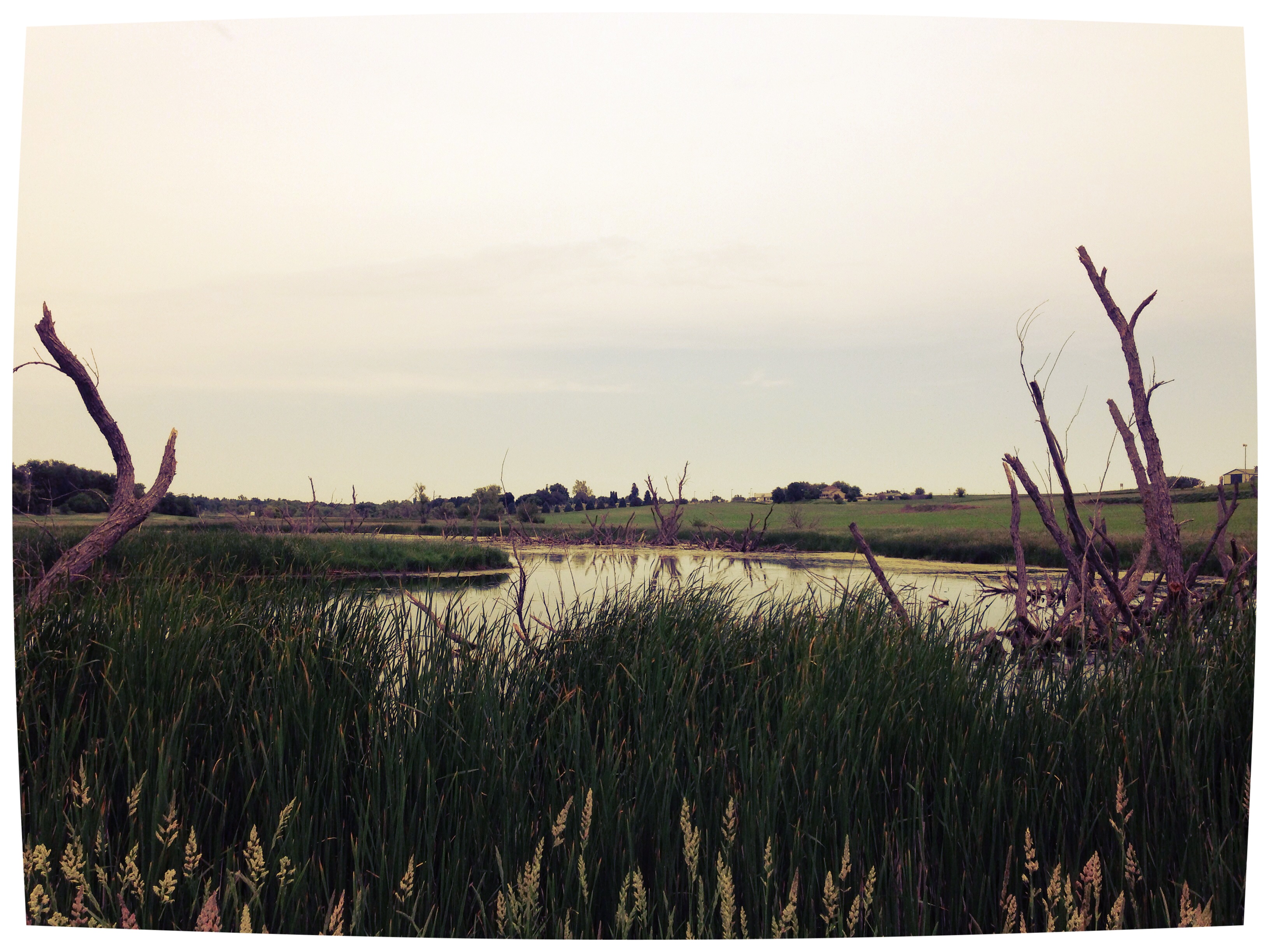
20140629-IMG_6974
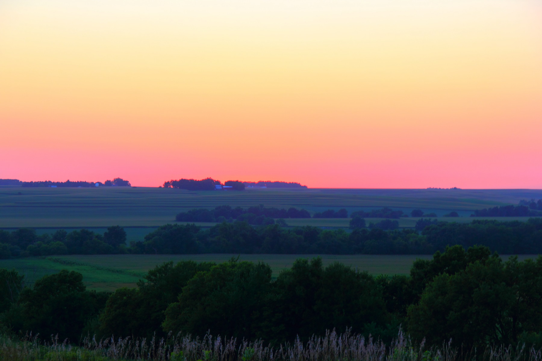
Camera Roll-20

Camera Roll-146

Ladies and Gentlemen, welcome to the Main Stage... Miss Amber Waves. Avoca, IA
Bike Trail
Avoca Iowa

Chaser Convergence

Iowa, Pottawattamie County
Topographic Map of Stevens Ave, Tennant, IA, USA
Find elevation by address:

Places near Stevens Ave, Tennant, IA, USA:
Tennant
Shelby
Cass
Main St, Portsmouth, IA, USA
Portsmouth
Washington
1St St E, Harlan, IA, USA
1317 Chatburn Ave
Fairview
Fairview
Fairview
Fairview
Fairview
Fairview
Persia
12th St, Harlan, IA, USA
Harlan
Westphalia
Colony St, Westphalia, IA, USA
Dye St, Harlan, IA, USA
Recent Searches:
- Elevation of S Layton Cir W, Layton, UT, USA
- Elevation of F36W+3M, Mussoorie, Uttarakhand, India
- Elevation of Fairland Ave, Fairhope, AL, USA
- Elevation of Sunset Dr, Richmond, VA, USA
- Elevation of Grodna District, Hrodna Region, Belarus
- Elevation of Hrodna, Hrodna Region, Belarus
- Elevation of Sandia Derby Estates, Tijeras, NM, USA
- Elevation of 23 Sunrise View Ct, Tijeras, NM, USA
- Elevation of Lytham Ln, Katy, TX, USA
- Elevation of Tater Hill, Oklahoma, USA