Elevation of Dye St, Harlan, IA, USA
Location: United States > Iowa > Shelby County > Harlan >
Longitude: -95.320002
Latitude: 41.665543
Elevation: 370m / 1214feet
Barometric Pressure: 97KPa
Elevation Map:
Satellite Map:
Related Photos:
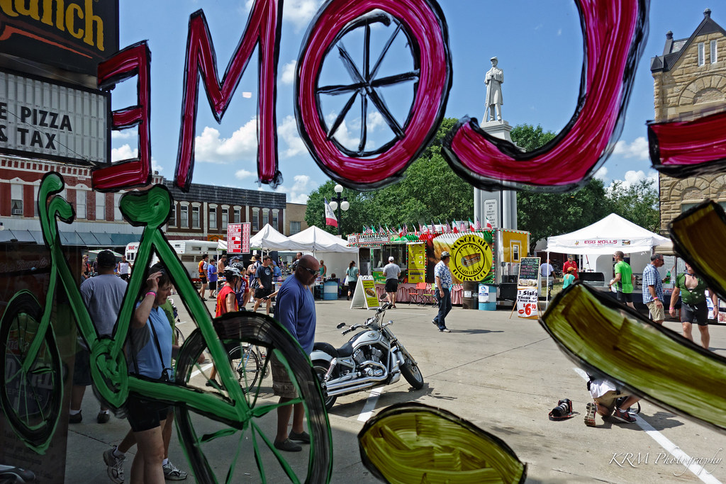
View of the Square from the Pizza Ranch. Harlan, Iowa.
IMG_03932.JPG
IMG_03931.JPG
IMG_03923.JPG
IMG_03948.JPG
IMG_03937.JPG
IMG_03936.JPG
IMG_03939.JPG
IMG_03938.JPG
IMG_03935.JPG
IMG_03934.JPG
IMG_03933.JPG
IMG_03930.JPG

Chaser Convergence
Topographic Map of Dye St, Harlan, IA, USA
Find elevation by address:

Places near Dye St, Harlan, IA, USA:
Harlan
1317 Chatburn Ave
12th St, Harlan, IA, USA
Shelby County
Shelby County
Shelby County
Shelby County
Shelby County
Shelby County
Shelby County
Kirkman
State St, Kirkman, IA, USA
Westphalia
1St St E, Harlan, IA, USA
Colony St, Westphalia, IA, USA
Westphalia
Douglas
Fairview
Fairview
Fairview
Recent Searches:
- Elevation of Tenjo, Cundinamarca, Colombia
- Elevation of Côte-des-Neiges, Montreal, QC H4A 3J6, Canada
- Elevation of Bobcat Dr, Helena, MT, USA
- Elevation of Zu den Ihlowbergen, Althüttendorf, Germany
- Elevation of Badaber, Peshawar, Khyber Pakhtunkhwa, Pakistan
- Elevation of SE Heron Loop, Lincoln City, OR, USA
- Elevation of Slanický ostrov, 01 Námestovo, Slovakia
- Elevation of Spaceport America, Co Rd A, Truth or Consequences, NM, USA
- Elevation of Warwick, RI, USA
- Elevation of Fern Rd, Whitmore, CA, USA