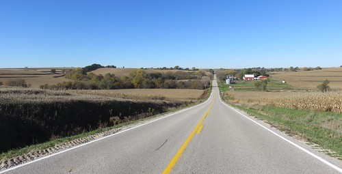
Elevation of Sawyer Trail, Woodbine, IA, USA
Location: United States > Iowa > Harrison County > Woodbine >
Longitude: -95.659962
Latitude: 41.7214031
Elevation: 401m / 1316feet
Barometric Pressure: 97KPa
Related Photos:
Topographic Map of Sawyer Trail, Woodbine, IA, USA
Find elevation by address:

Places near Sawyer Trail, Woodbine, IA, USA:
Lincolnway St, Woodbine, IA, USA
Woodbine
Jefferson
E 7th St, Logan, IA, USA
Logan
Harrison County
Neola
310 Lincoln Hwy
Merrick Pl, Missouri Valley, IA, USA
St. John
222 N 7th St
Boomer
Missouri Valley
Hillside Ave, Mondamin, IA, USA
3153 Loess Hills Trail
Soldier
Soldier
Ash St, Soldier, IA, USA
th St, Honey Creek, IA, USA
Raglan
Recent Searches:
- Elevation of Dog Leg Dr, Minden, NV, USA
- Elevation of Dog Leg Dr, Minden, NV, USA
- Elevation of Kambingan Sa Pansol Atbp., Purok 7 Pansol, Candaba, Pampanga, Philippines
- Elevation of Pinewood Dr, New Bern, NC, USA
- Elevation of Mountain View, CA, USA
- Elevation of Foligno, Province of Perugia, Italy
- Elevation of Blauwestad, Netherlands
- Elevation of Bella Terra Blvd, Estero, FL, USA
- Elevation of Estates Loop, Priest River, ID, USA
- Elevation of Woodland Oak Pl, Thousand Oaks, CA, USA


