Elevation of NW Coal Valley Rd, McCune, KS, USA
Location: United States > Kansas > Cherokee County > Sheridan > Mccune >
Longitude: -95.067887
Latitude: 37.3254151
Elevation: 268m / 879feet
Barometric Pressure: 98KPa
Elevation Map:
Satellite Map:
Related Photos:
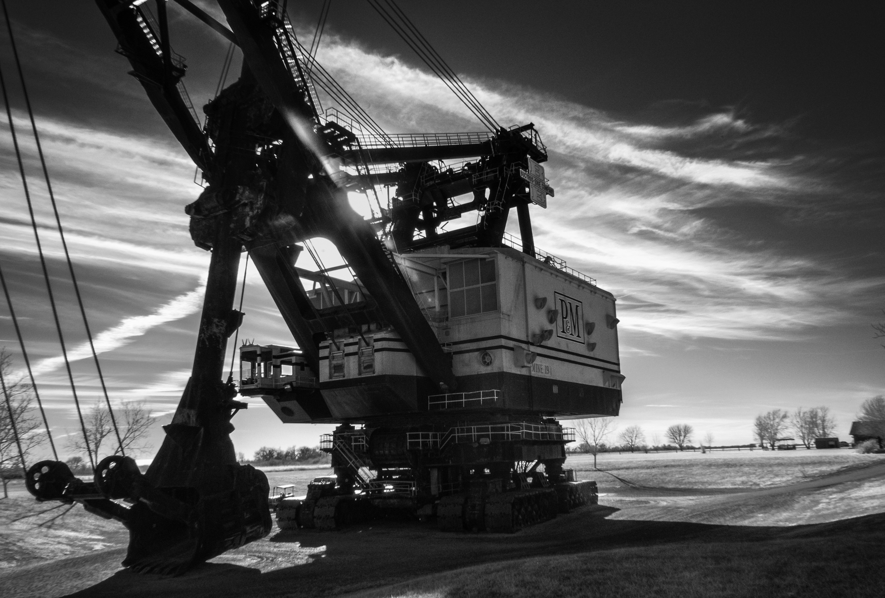
Big Brutus, 3/4 View

Profile View

LIghtning Creek Bridge-Side View
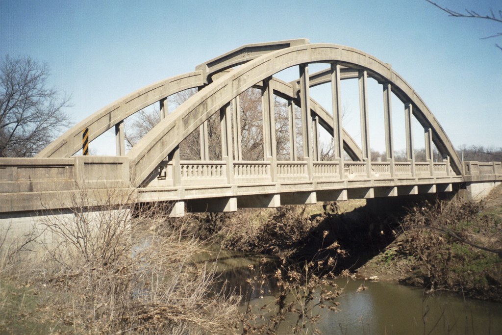
Lightning Creek Side View

strip pit
Labette Creek

big brutus at sunrise
strip pit

cows waiting for sunrise

Big Brutus

Kansas Wildlife & Parks
Topographic Map of NW Coal Valley Rd, McCune, KS, USA
Find elevation by address:

Places near NW Coal Valley Rd, McCune, KS, USA:
Osage Orange Llc
Mccune
Sheridan
Friendship Church
Scott Rd, Parsons, KS, USA
North
Hackberry St, Oswego, KS, USA
Labette
Liberty
SW Snowbird Ln, Columbus, KS, USA
Lola Township
Center Bethel Church
995 Pratt Rd
Big Sky Bistro
Parsons
S A Imprints
Pizzo's Restaurant
Downtown Soup And Salad
Sun Graphics
Grant
Recent Searches:
- Elevation of 24 Oakland Rd #, Scotland, ON N0E 1R0, Canada
- Elevation of Deep Gap Farm Rd E, Mill Spring, NC, USA
- Elevation of Dog Leg Dr, Minden, NV, USA
- Elevation of Dog Leg Dr, Minden, NV, USA
- Elevation of Kambingan Sa Pansol Atbp., Purok 7 Pansol, Candaba, Pampanga, Philippines
- Elevation of Pinewood Dr, New Bern, NC, USA
- Elevation of Mountain View, CA, USA
- Elevation of Foligno, Province of Perugia, Italy
- Elevation of Blauwestad, Netherlands
- Elevation of Bella Terra Blvd, Estero, FL, USA