Elevation of McCune, KS, USA
Location: United States > Kansas > Cherokee County > Sheridan >
Longitude: -95.016633
Latitude: 37.3547791
Elevation: 278m / 912feet
Barometric Pressure: 98KPa
Elevation Map:
Satellite Map:
Related Photos:

Profile View
Big Brutus, 3/4 View

View from the cab
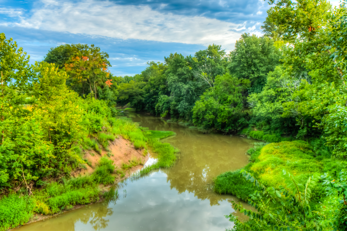
Lightning Creek Side View

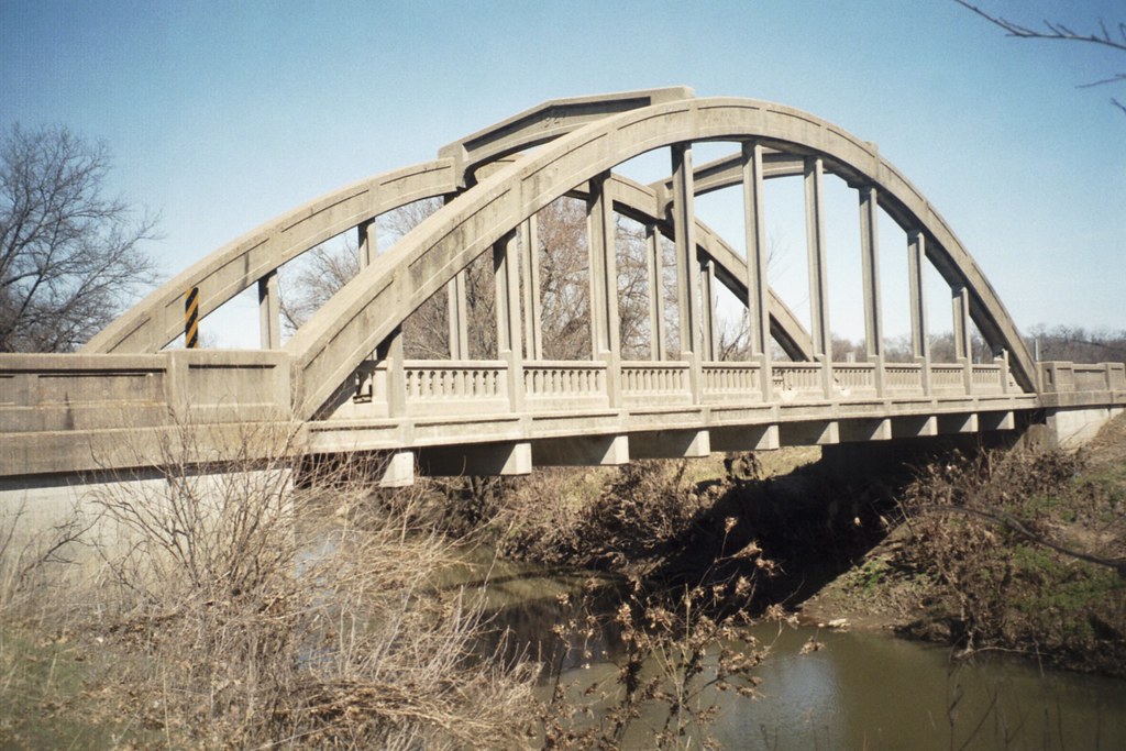
LIghtning Creek Bridge-Side View

cows waiting for sunrise

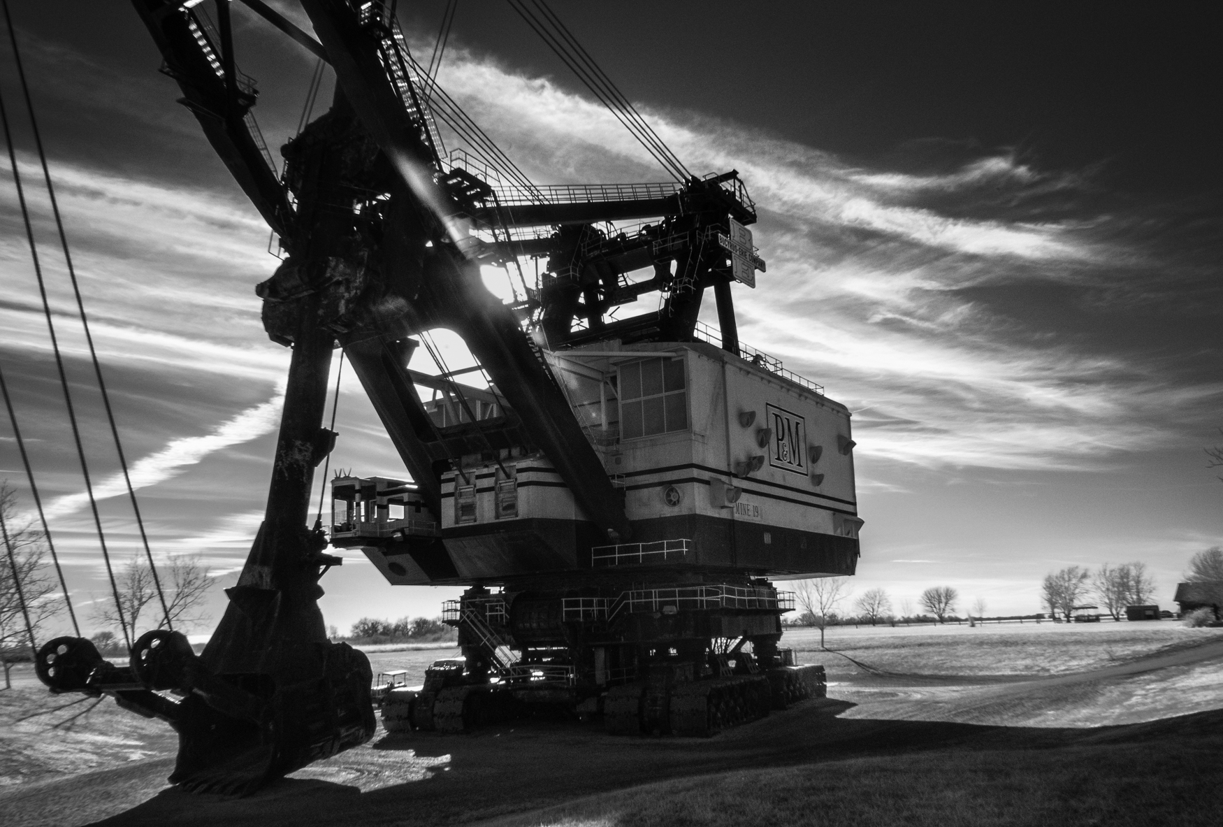
big brutus at sunrise
Stink Branch at Sherman City

Big Brutus

Kansas Wildlife & Parks
Topographic Map of McCune, KS, USA
Find elevation by address:

Places near McCune, KS, USA:
Osage Orange Llc
12695 Nw Coal Valley Rd
Sheridan
Friendship Church
Sheridan
Grant
KS-47, Girard, KS, USA
Scott Rd, Parsons, KS, USA
SW Snowbird Ln, Columbus, KS, USA
Lola Township
Crawford
North
Scammon
Hackberry St, Oswego, KS, USA
Salamanca
Cherokee
Labette
E Pine St, Cherokee, KS, USA
3rd St, Scammon, KS, USA
Mission
Recent Searches:
- Elevation of Doe Cir, Clinton, OH, USA
- Elevation of Narhe, Pune, Maharashtra, India
- Elevation of Martins Mill Ct, Eagle Rock, NC, USA
- Elevation of Kippen, Stirling FK8, UK
- Elevation of Sieveringer Straße, Sieveringer Str., Wien, Austria
- Elevation of Bratskaya Ulitsa, 24, Kurgan, Kurganskaya oblast', Russia
- Elevation of Paradisvegen, Biri, Norway
- Elevation of Crystal Cir, Birmingham, AL, USA
- Elevation of N Railroad Ave, West Palm Beach, FL, USA
- Elevation of 55 Cassick Valley Rd, Wellfleet, MA, USA