Elevation of Scammon, KS, USA
Location: United States > Kansas > Cherokee County >
Longitude: -94.824960
Latitude: 37.2775569
Elevation: 276m / 906feet
Barometric Pressure: 98KPa
Elevation Map:
Satellite Map:
Related Photos:

Lunar Love

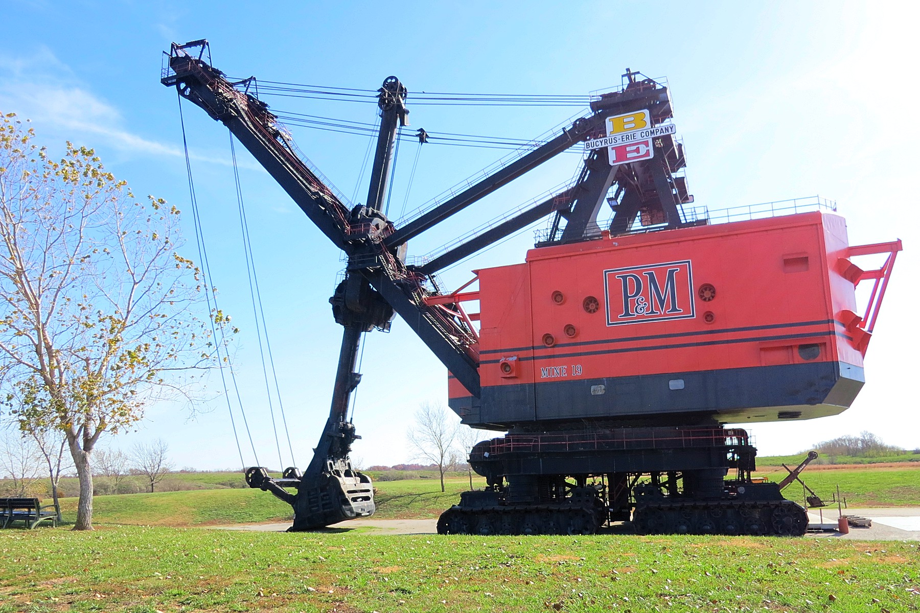
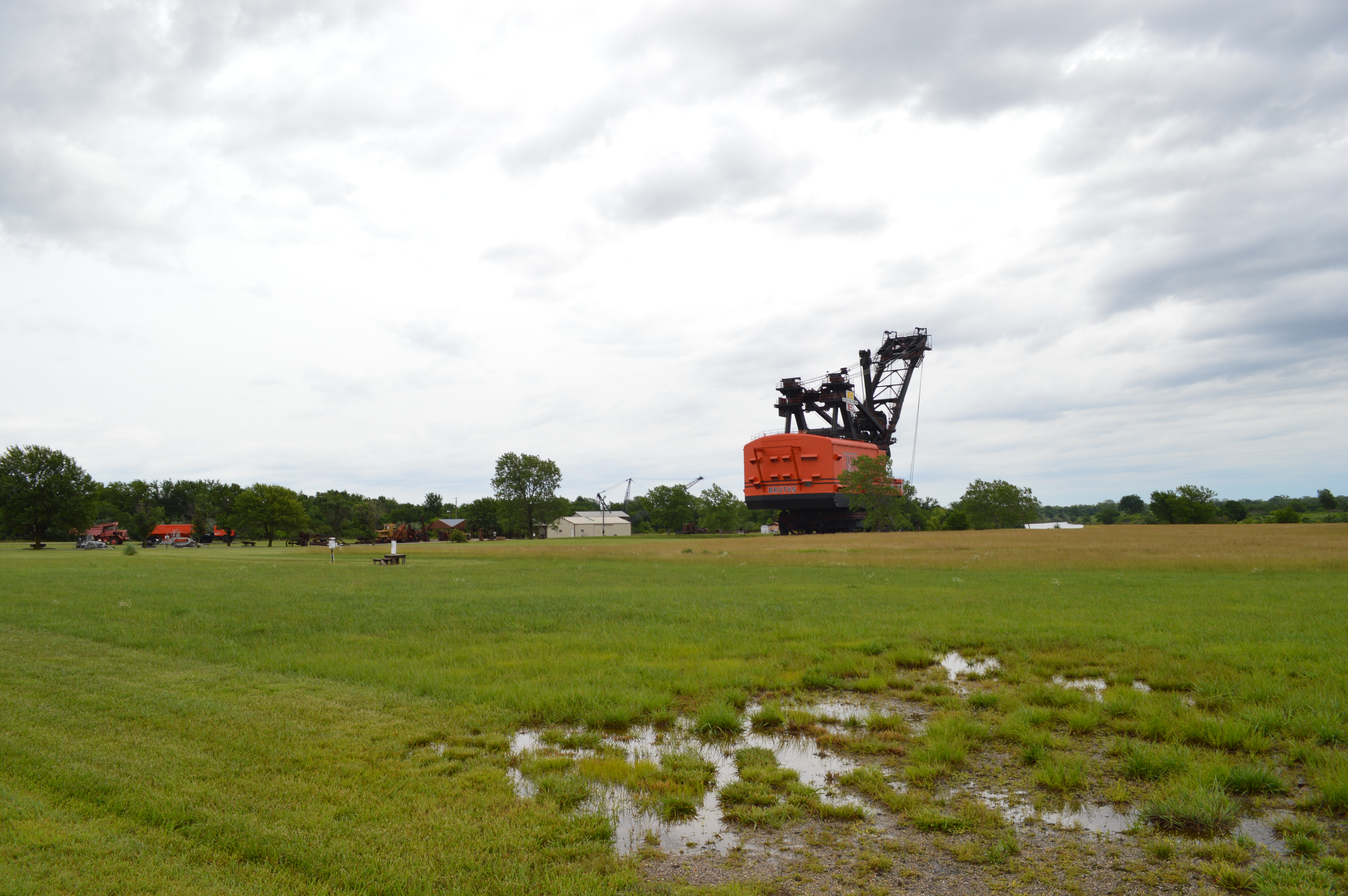
Big Brutus, 3/4 View
Profile View
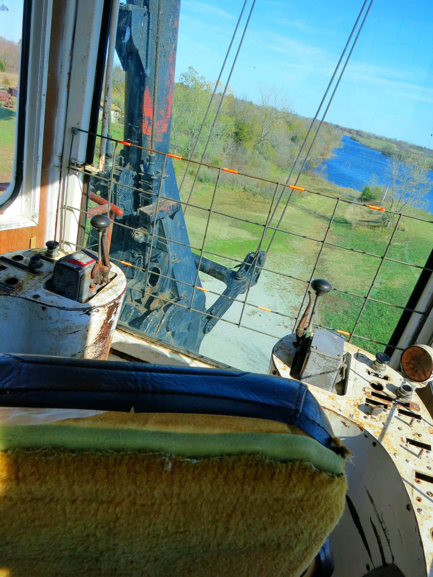
View from the cab

208/365 Forrest fire being put out
low water crossing

Rain Storm - Pittsburg, KS

216/365 Another Sunset

big brutus at sunrise
Big Brutus

Water Rescue
Kansas Wildlife & Parks
Topographic Map of Scammon, KS, USA
Find elevation by address:

Places in Scammon, KS, USA:
Places near Scammon, KS, USA:
3rd St, Scammon, KS, USA
Weir
E Main St, Weir, KS, USA
E Pine St, Cherokee, KS, USA
Cherokee
E th Ave, Pittsburg, KS, USA
E th Ave, Pittsburg, KS, USA
Sheridan
E Craig Rd, Pittsburg, KS, USA
Baker
1163 S 220th St
1163 S 220th St
704 E 530th Ave
Pleasant View
1605 S College St
1608 S Olive St
St. Pius X Catholic
1104 Pinnacle Dr
402 N Smith St
712 W 1st St
Recent Searches:
- Elevation of Kambingan Sa Pansol Atbp., Purok 7 Pansol, Candaba, Pampanga, Philippines
- Elevation of Pinewood Dr, New Bern, NC, USA
- Elevation of Mountain View, CA, USA
- Elevation of Foligno, Province of Perugia, Italy
- Elevation of Blauwestad, Netherlands
- Elevation of Bella Terra Blvd, Estero, FL, USA
- Elevation of Estates Loop, Priest River, ID, USA
- Elevation of Woodland Oak Pl, Thousand Oaks, CA, USA
- Elevation of Brownsdale Rd, Renfrew, PA, USA
- Elevation of Corcoran Ln, Suffolk, VA, USA