Elevation of Salamanca, KS, USA
Location: United States > Kansas > Cherokee County >
Longitude: -94.914323
Latitude: 37.1741643
Elevation: 273m / 896feet
Barometric Pressure: 98KPa
Elevation Map:
Satellite Map:
Related Photos:
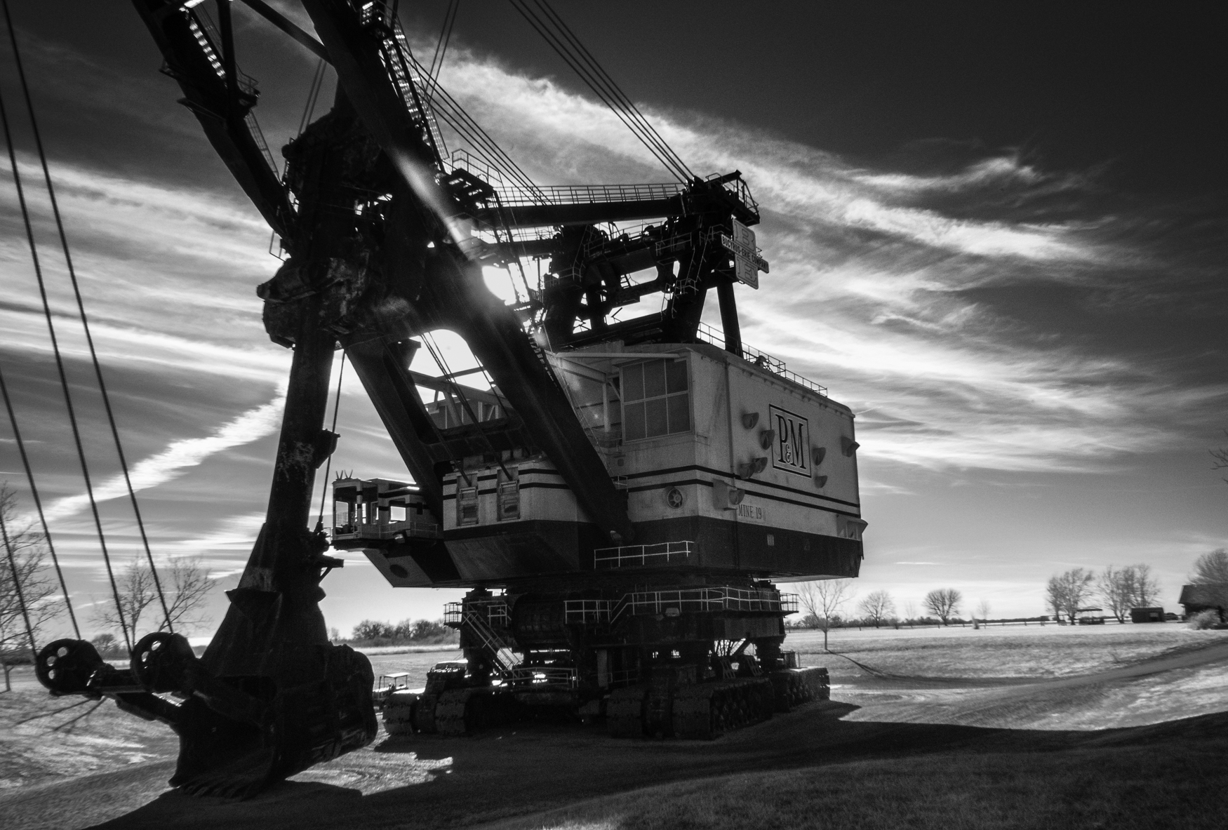
Big Brutus, 3/4 View

Profile View

View from the cab
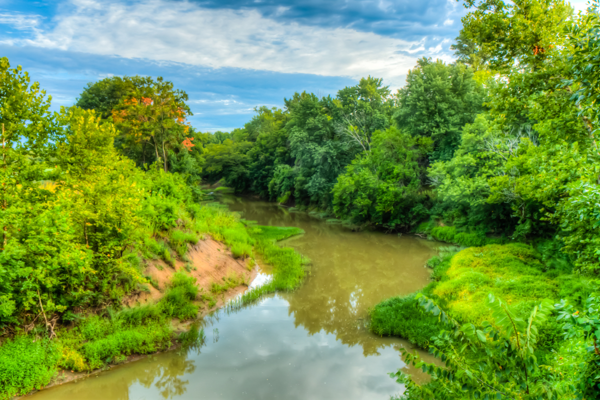
Stink Branch at Sherman City

strip pit

big brutus at sunrise
strip pit

Big Brutus

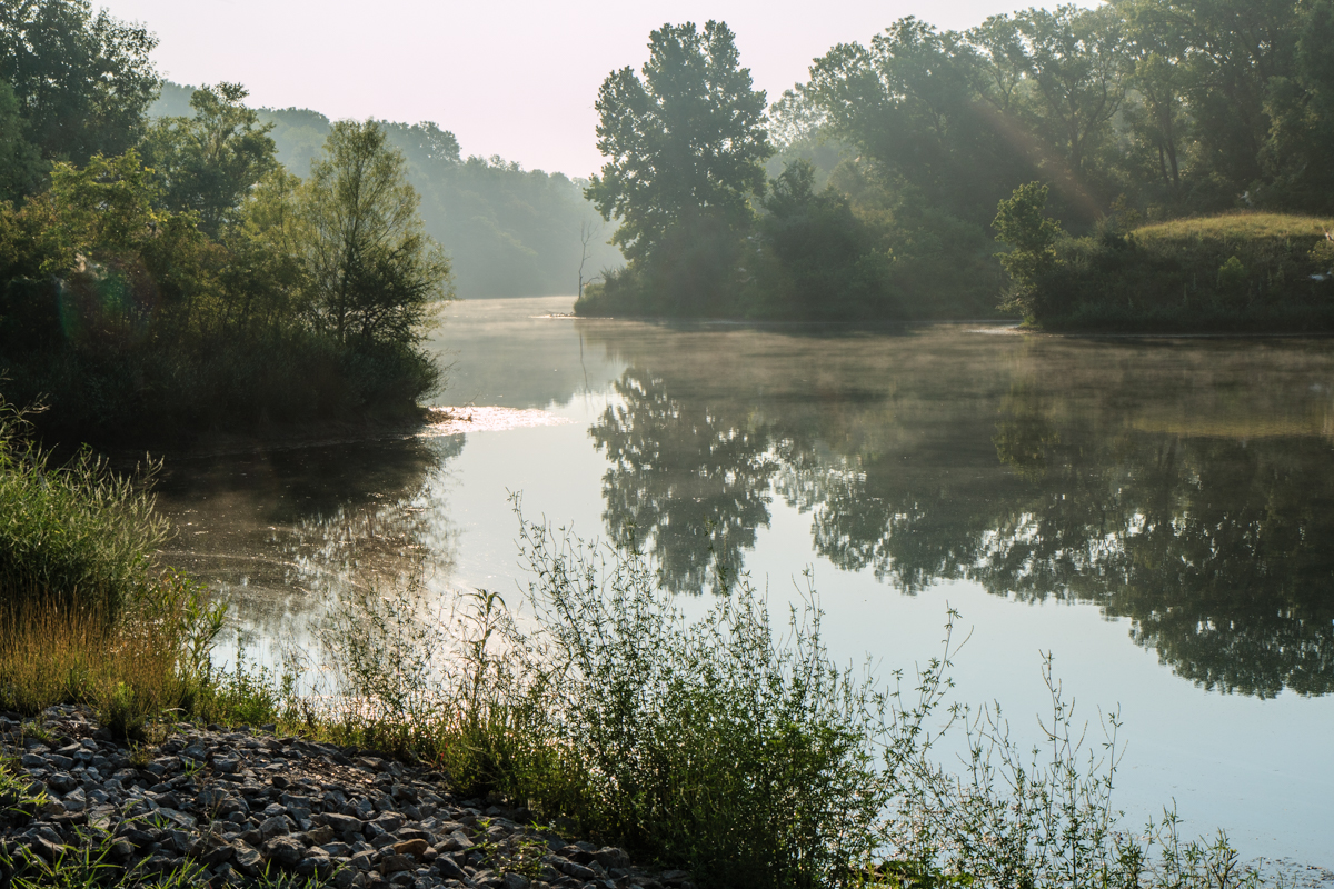
low water crossing

Kansas Wildlife & Parks
Topographic Map of Salamanca, KS, USA
Find elevation by address:

Places near Salamanca, KS, USA:
Rowdy's Rustic Moose Lodge
Columbus
Pennsylvania, Columbus, KS, USA
Lola Township
SW Snowbird Ln, Columbus, KS, USA
28 NE Turkey Ln, Columbus, KS, USA
Sheridan
Cherokee County
Friendship Church
Lyon
Scammon
3rd St, Scammon, KS, USA
Mineral
SW 69th Terrace, Columbus, KS, USA
SW 50th St, Baxter Springs, KS, USA
SE 25th St, Columbus, KS, USA
Neosho
Spring Valley
Weir
E Main St, Weir, KS, USA
Recent Searches:
- Elevation of Dog Leg Dr, Minden, NV, USA
- Elevation of Dog Leg Dr, Minden, NV, USA
- Elevation of Kambingan Sa Pansol Atbp., Purok 7 Pansol, Candaba, Pampanga, Philippines
- Elevation of Pinewood Dr, New Bern, NC, USA
- Elevation of Mountain View, CA, USA
- Elevation of Foligno, Province of Perugia, Italy
- Elevation of Blauwestad, Netherlands
- Elevation of Bella Terra Blvd, Estero, FL, USA
- Elevation of Estates Loop, Priest River, ID, USA
- Elevation of Woodland Oak Pl, Thousand Oaks, CA, USA