Elevation of Friendship Church, NW Lawton Rd, Columbus, KS, USA
Location: United States > Kansas > Cherokee County > Columbus >
Longitude: -95.026506
Latitude: 37.2230453
Elevation: 257m / 843feet
Barometric Pressure: 98KPa
Elevation Map:
Satellite Map:
Related Photos:

strip pit

Labette Creek
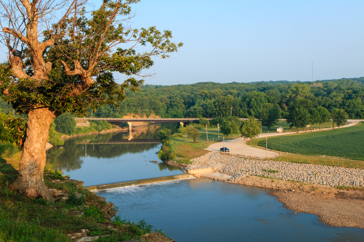
Neosho River from Riverside Park

Water Rescue

big brutus at sunrise

good morning Oswego Kansas

strip pit
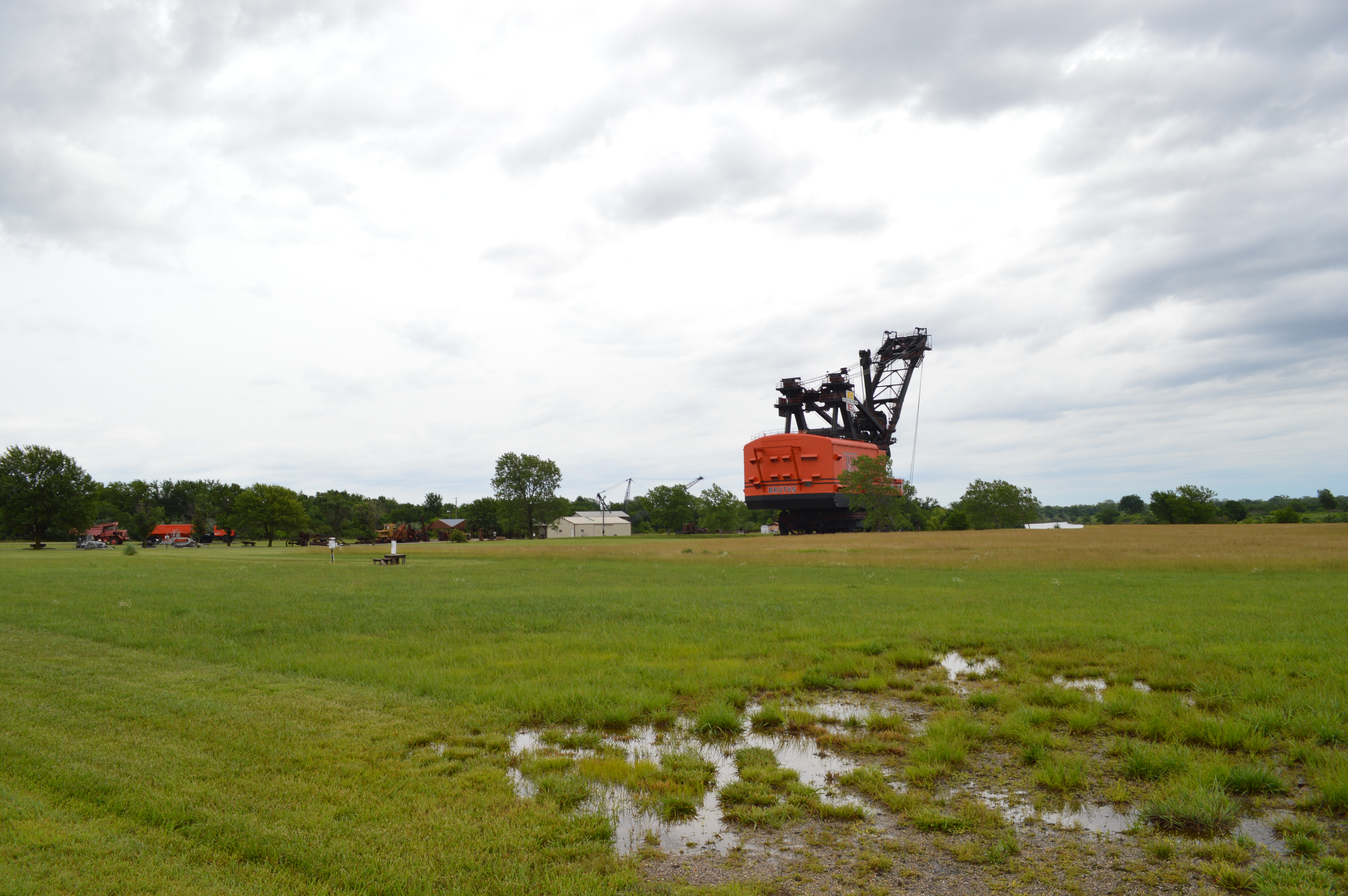
Big Brutus

Kansas Wildlife & Parks
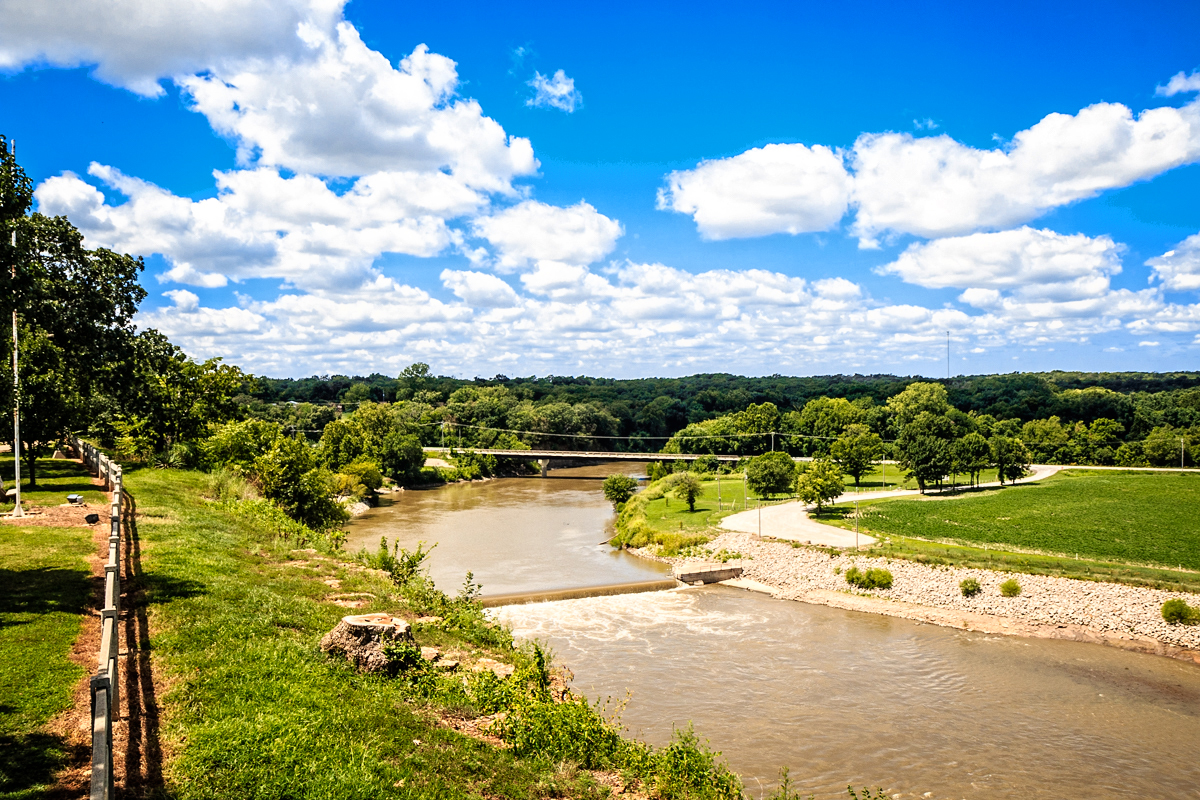
Riverside Park overlook
Topographic Map of Friendship Church, NW Lawton Rd, Columbus, KS, USA
Find elevation by address:

Places near Friendship Church, NW Lawton Rd, Columbus, KS, USA:
Sheridan
SW Snowbird Ln, Columbus, KS, USA
Lola Township
12695 Nw Coal Valley Rd
Osage Orange Llc
Salamanca
Mccune
Hackberry St, Oswego, KS, USA
Labette
Neosho
Rowdy's Rustic Moose Lodge
Scott Rd, Oswego, KS, USA
Liberty
Fairview
Pennsylvania, Columbus, KS, USA
Columbus
28 NE Turkey Ln, Columbus, KS, USA
Maple St, Chetopa, KS, USA
Scott Rd, Parsons, KS, USA
SW 69th Terrace, Columbus, KS, USA
Recent Searches:
- Elevation of Dog Leg Dr, Minden, NV, USA
- Elevation of Dog Leg Dr, Minden, NV, USA
- Elevation of Kambingan Sa Pansol Atbp., Purok 7 Pansol, Candaba, Pampanga, Philippines
- Elevation of Pinewood Dr, New Bern, NC, USA
- Elevation of Mountain View, CA, USA
- Elevation of Foligno, Province of Perugia, Italy
- Elevation of Blauwestad, Netherlands
- Elevation of Bella Terra Blvd, Estero, FL, USA
- Elevation of Estates Loop, Priest River, ID, USA
- Elevation of Woodland Oak Pl, Thousand Oaks, CA, USA