Elevation of Liberty, KS, USA
Location: United States > Kansas > Labette County >
Longitude: -95.205790
Latitude: 37.2471899
Elevation: 256m / 840feet
Barometric Pressure: 98KPa
Elevation Map:
Satellite Map:
Related Photos:
view from the bluff
view from Subway over the underpass

strip pit
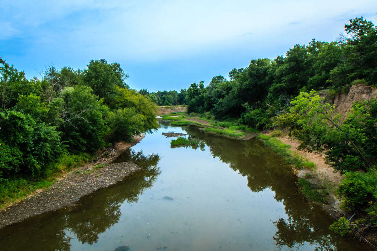
Labette Creek
strip pit

Stone Pile at Tolen Creek
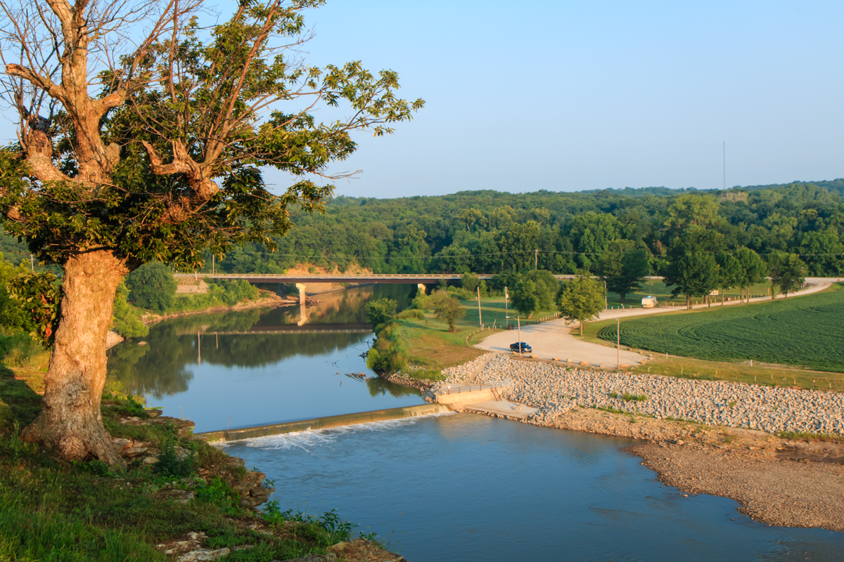
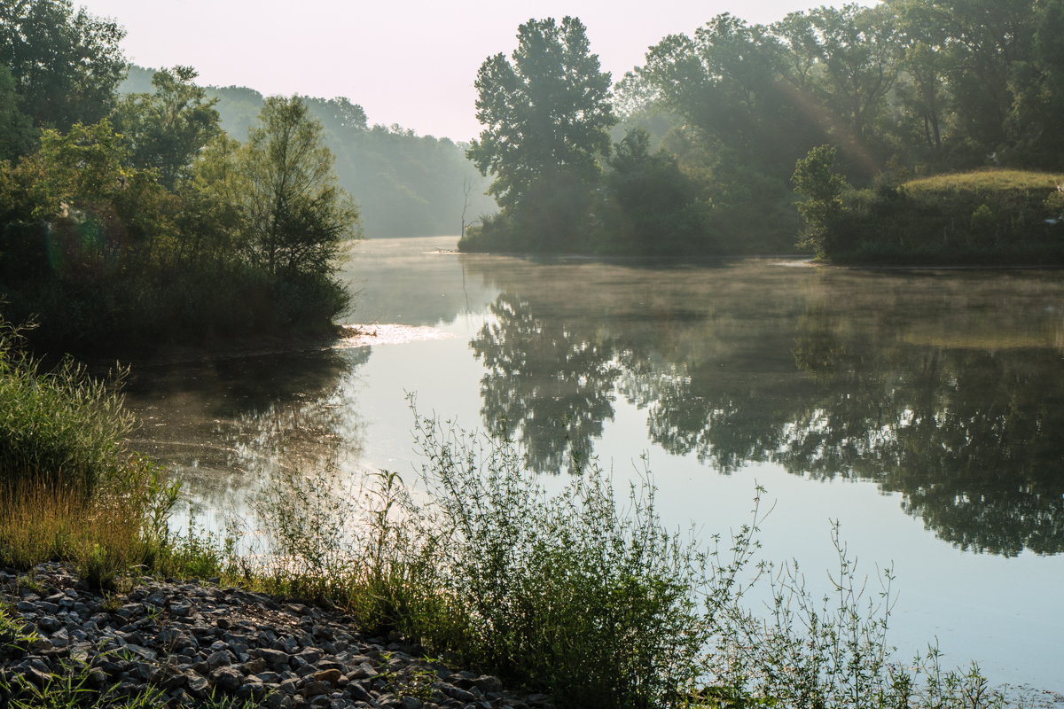
Neosho River from Riverside Park

good morning Oswego Kansas

Rock-lined Trail at Tolen Creek
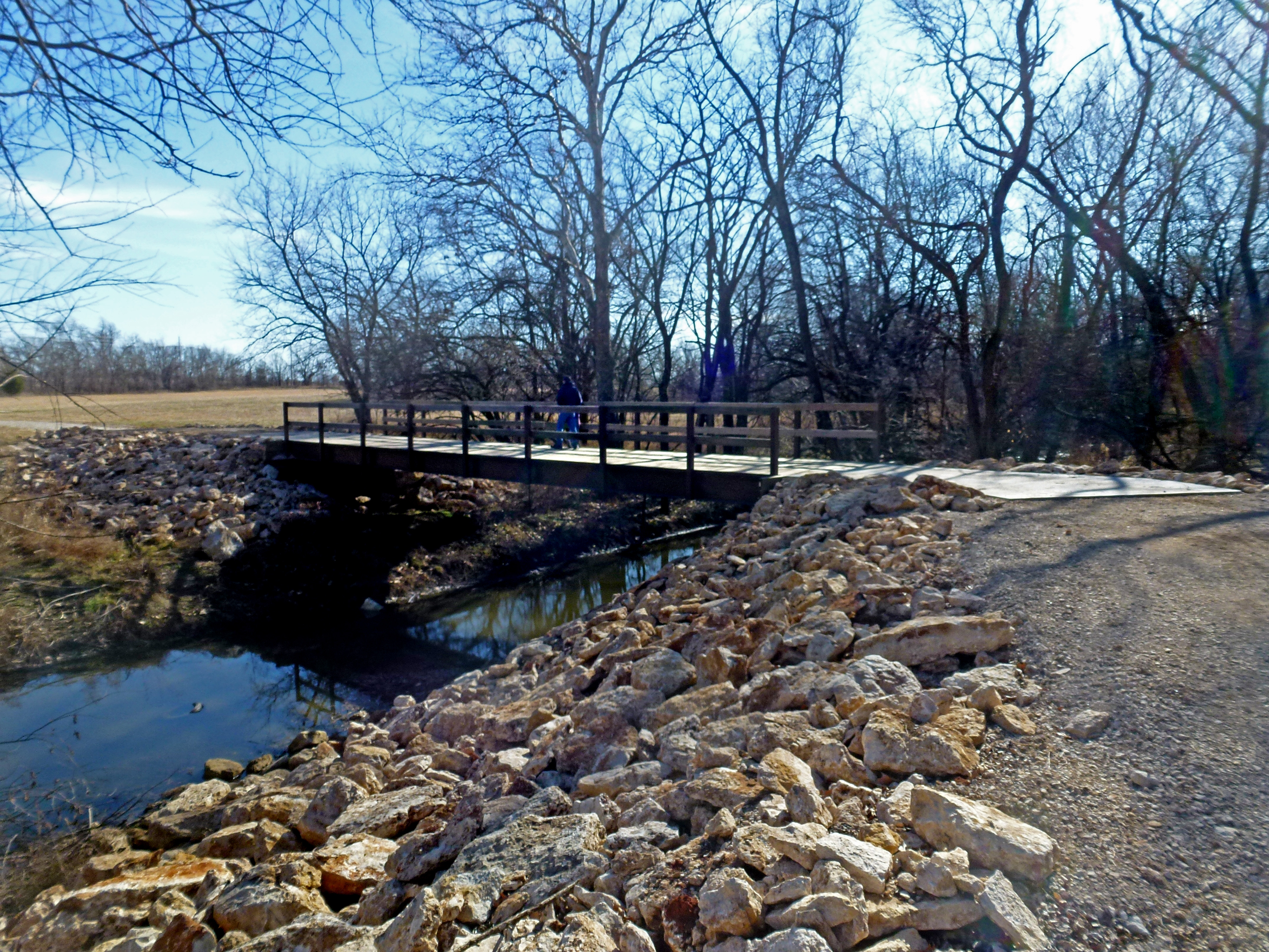
Tolen Creek Bridge
Fishing at Tolen Creek Trails

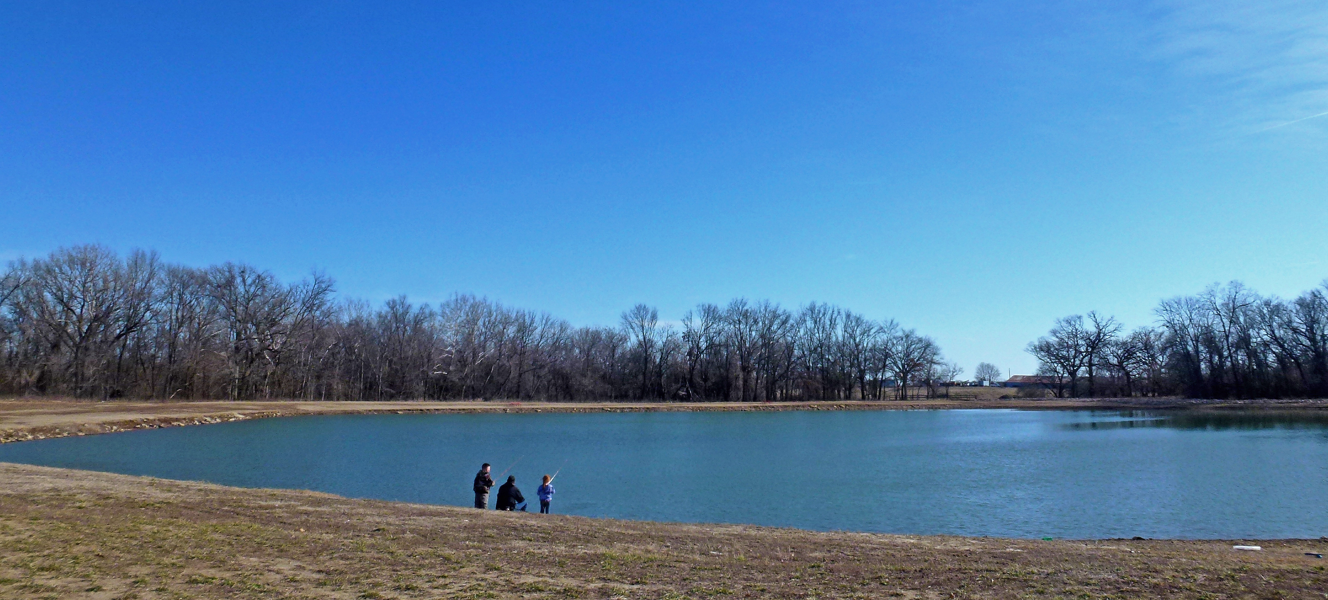
Fishing at Tolen Creek Pond
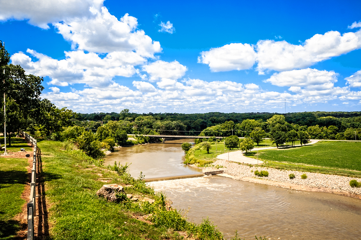
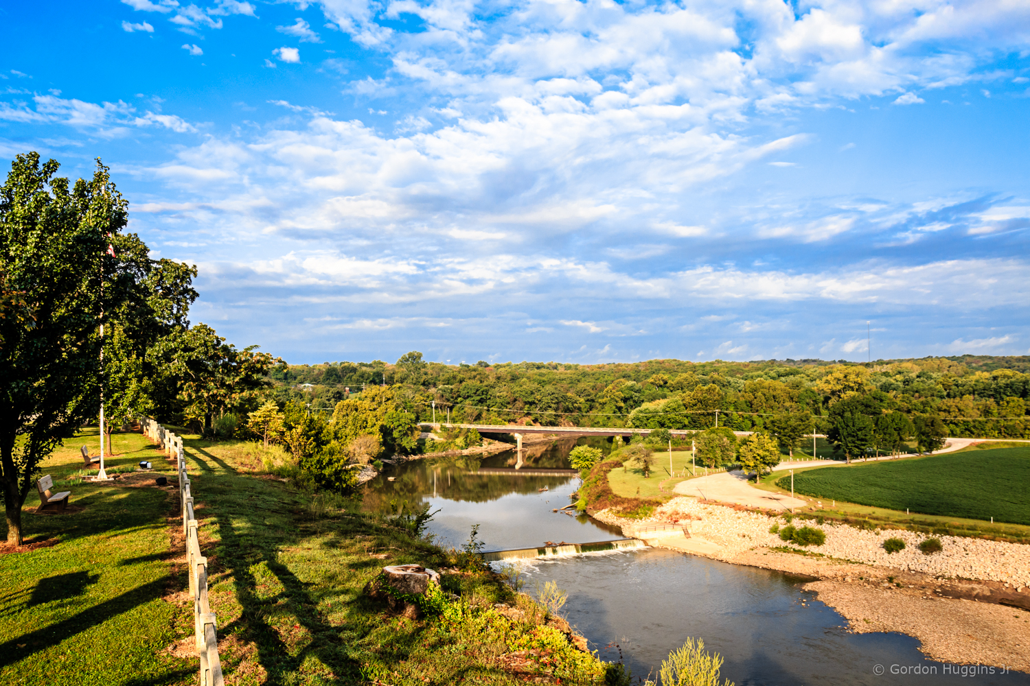
Riverside Park overlook

Parsons, KS Cemeteries

Parsons, KS Cemeteries

Mt. Olivet Cemetery - Parsons, KS

Mt. Olivet Cemetery - Parsons, KS
Topographic Map of Liberty, KS, USA
Find elevation by address:

Places in Liberty, KS, USA:
Places near Liberty, KS, USA:
Center Bethel Church
Labette
Hackberry St, Oswego, KS, USA
Scott Rd, Oswego, KS, USA
North
Fairview
Scott Rd, Parsons, KS, USA
Labette County
Safe Haven Outreach Mission
Big Sky Bistro
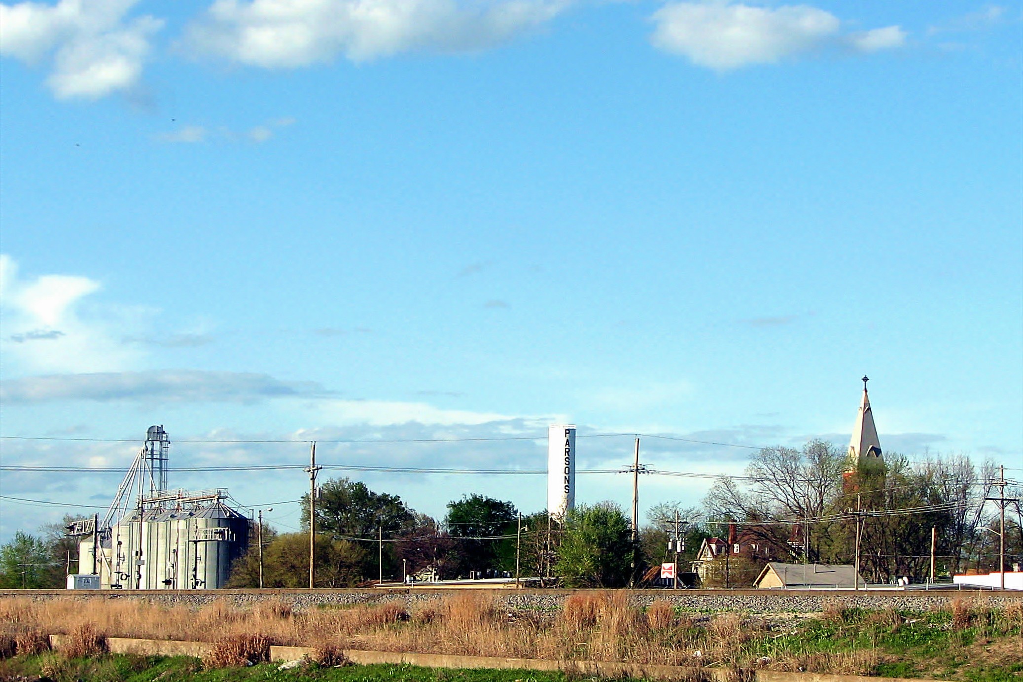
Parsons
Sun Graphics
S A Imprints
Downtown Soup And Salad
995 Pratt Rd
Rose, Dr. Thomas A
Lavender Farms
Parsons State Hospital And Training Center
Pizzo's Restaurant
Elm Ave, Parsons, KS, USA
Recent Searches:
- Elevation of Corso Fratelli Cairoli, 35, Macerata MC, Italy
- Elevation of Tallevast Rd, Sarasota, FL, USA
- Elevation of 4th St E, Sonoma, CA, USA
- Elevation of Black Hollow Rd, Pennsdale, PA, USA
- Elevation of Oakland Ave, Williamsport, PA, USA
- Elevation of Pedrógão Grande, Portugal
- Elevation of Klee Dr, Martinsburg, WV, USA
- Elevation of Via Roma, Pieranica CR, Italy
- Elevation of Tavkvetili Mountain, Georgia
- Elevation of Hartfords Bluff Cir, Mt Pleasant, SC, USA