Elevation of Sun Graphics, Broadway Ave, Parsons, KS, USA
Location: United States > Kansas > Labette County > Parsons >
Longitude: -95.263454
Latitude: 37.3394263
Elevation: 277m / 909feet
Barometric Pressure: 98KPa
Elevation Map:
Satellite Map:
Related Photos:
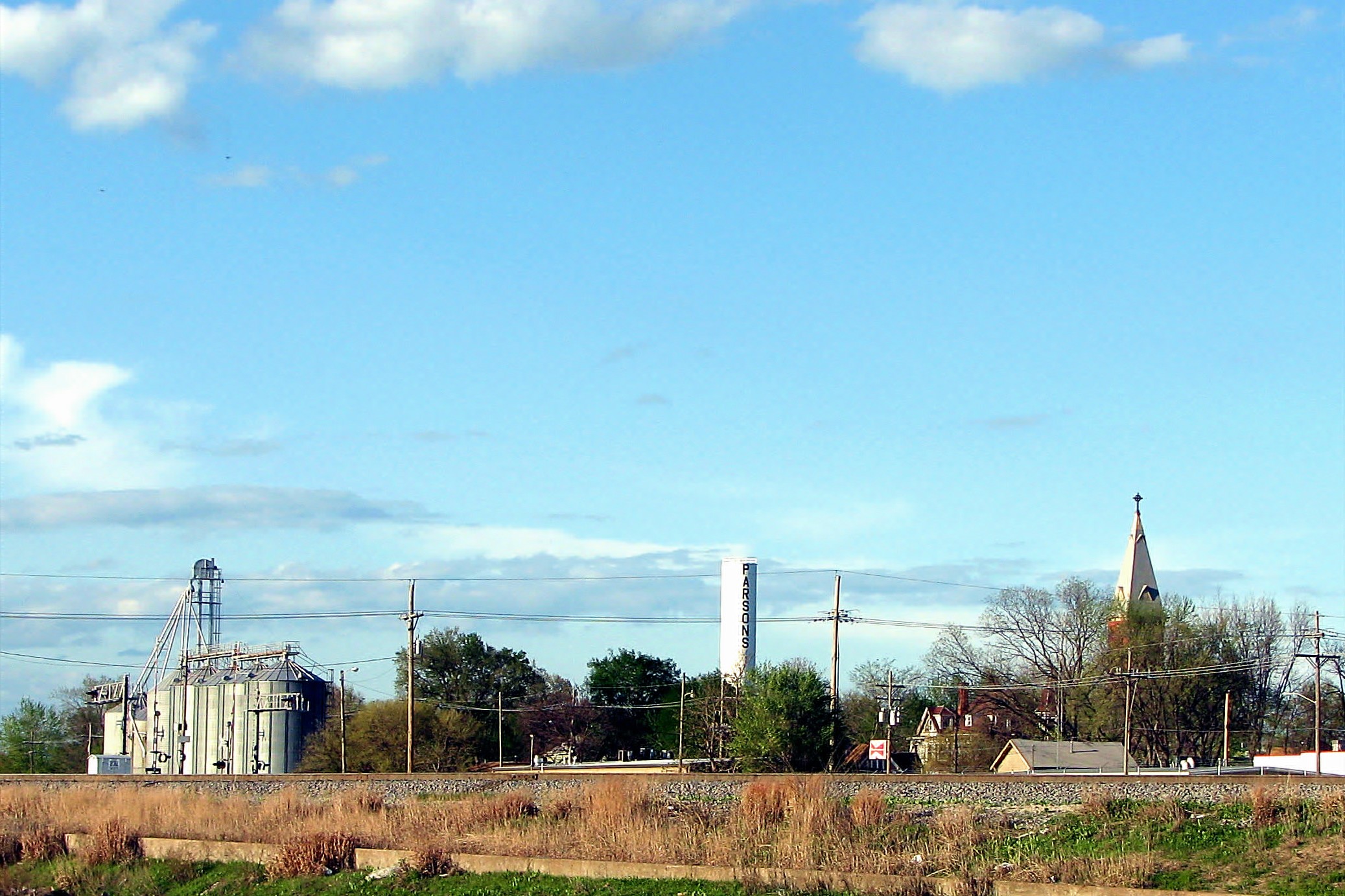
SEK SKY
view from a bridge
view from Subway over the underpass
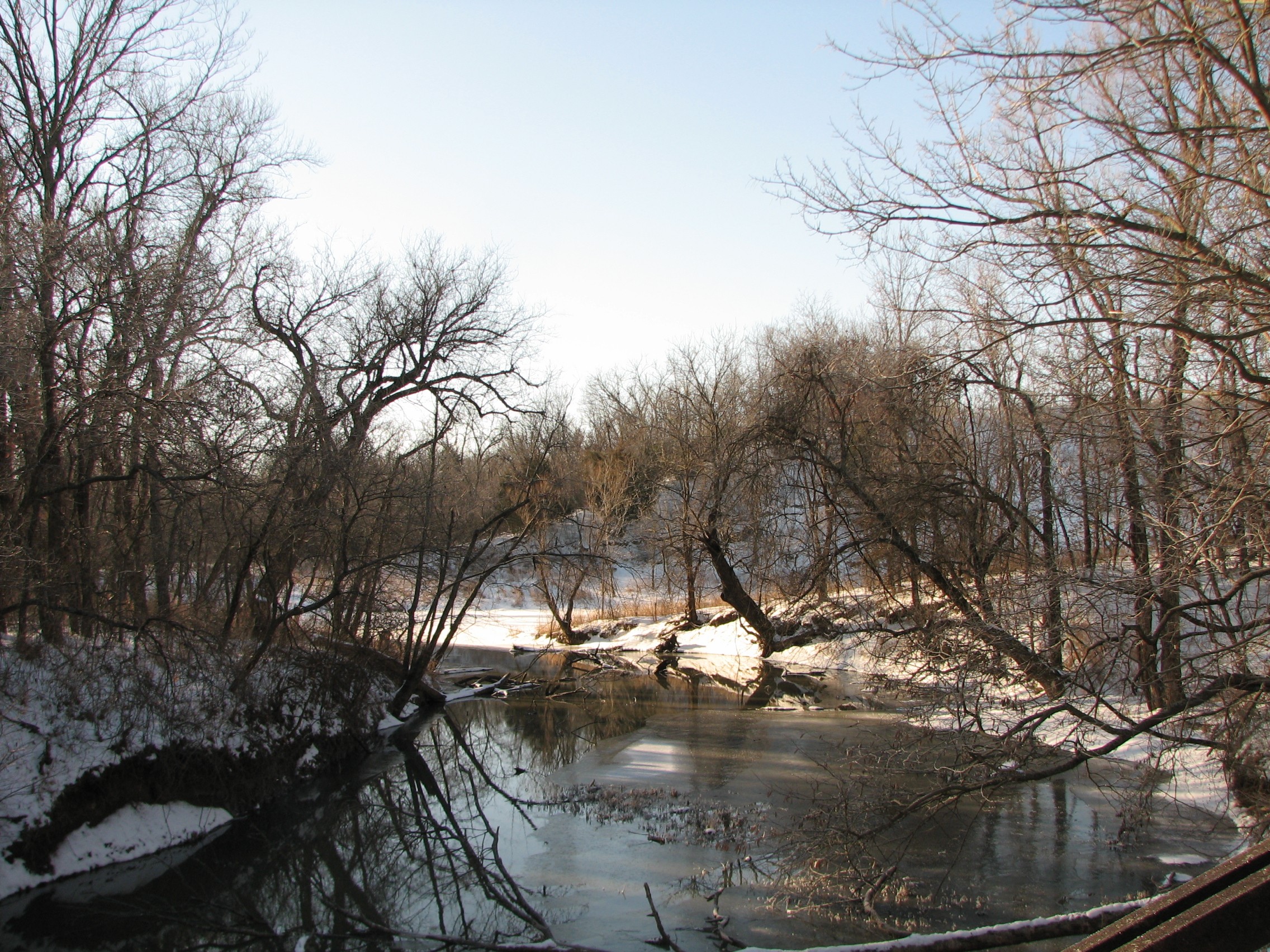
Labette Creek

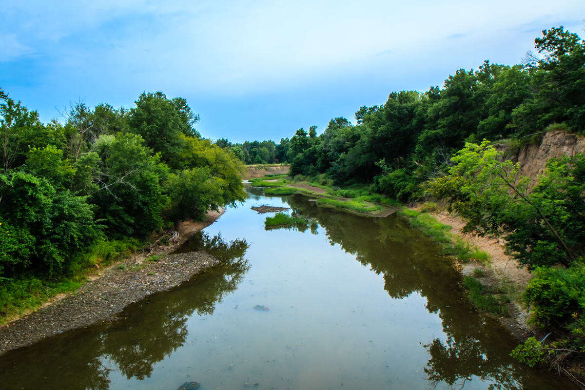
Rock-lined Trail at Tolen Creek
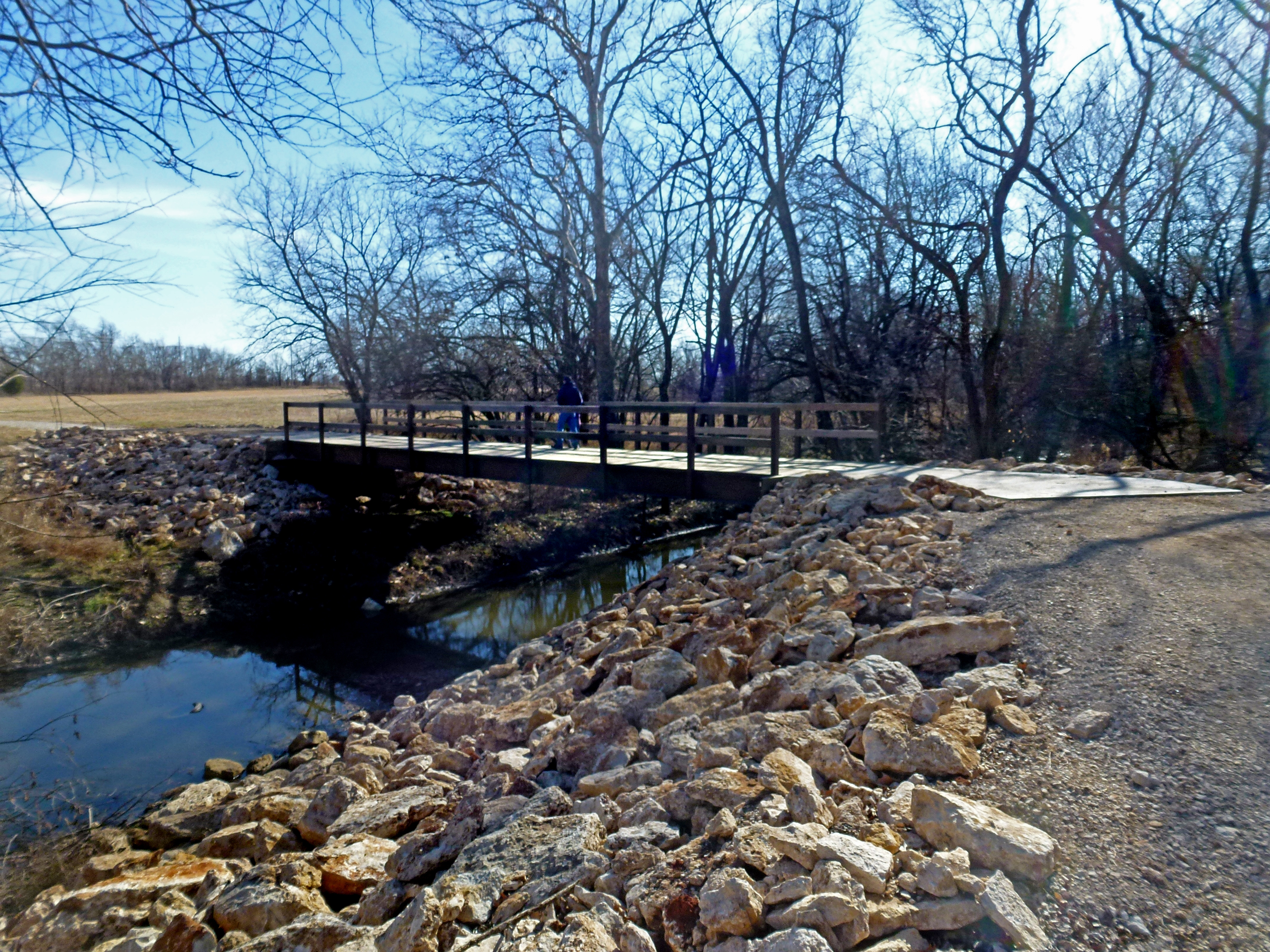
Tolen Creek Bridge
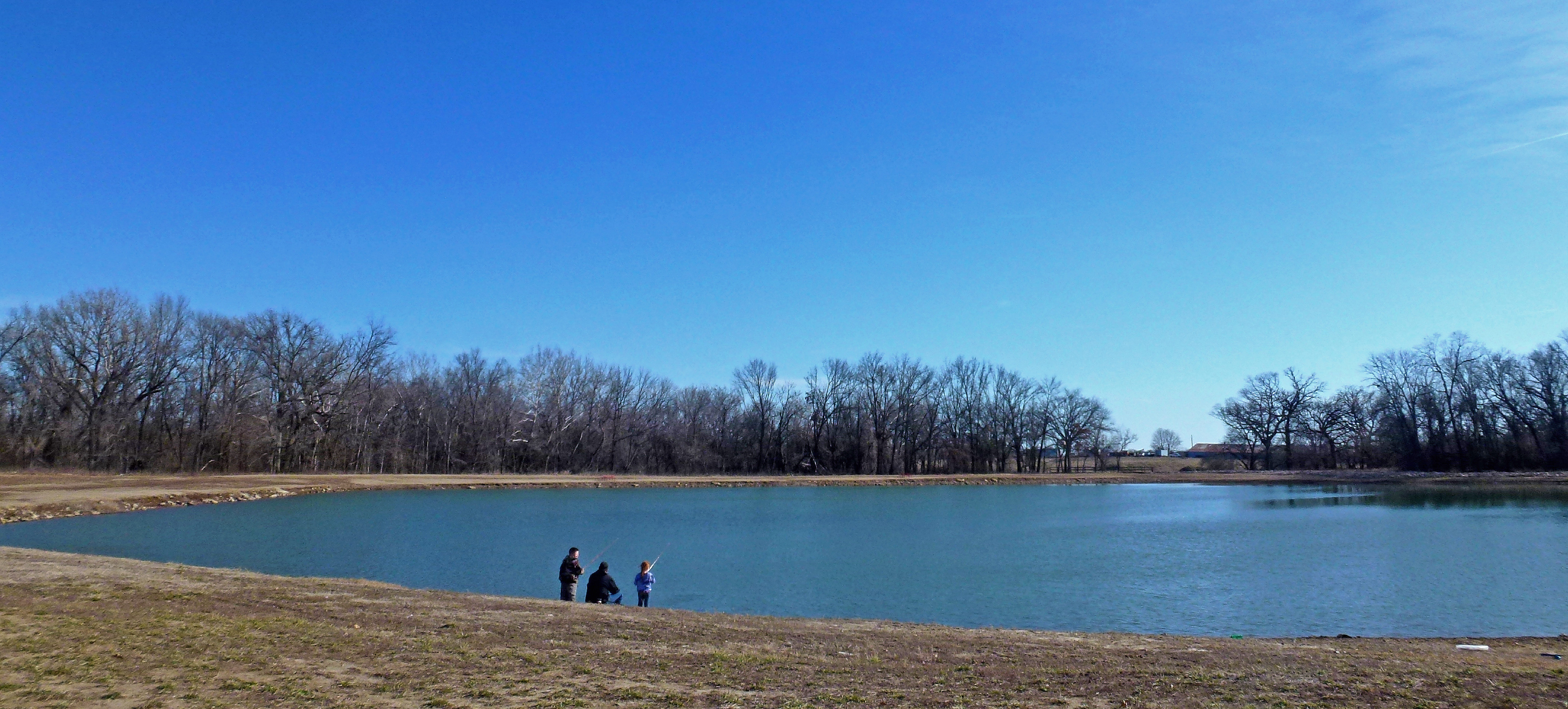
Fishing at Tolen Creek Trails

Fishing at Tolen Creek Pond

Parsons, KS Cemeteries

Parsons, KS Cemeteries

Mt. Olivet Cemetery - Parsons, KS

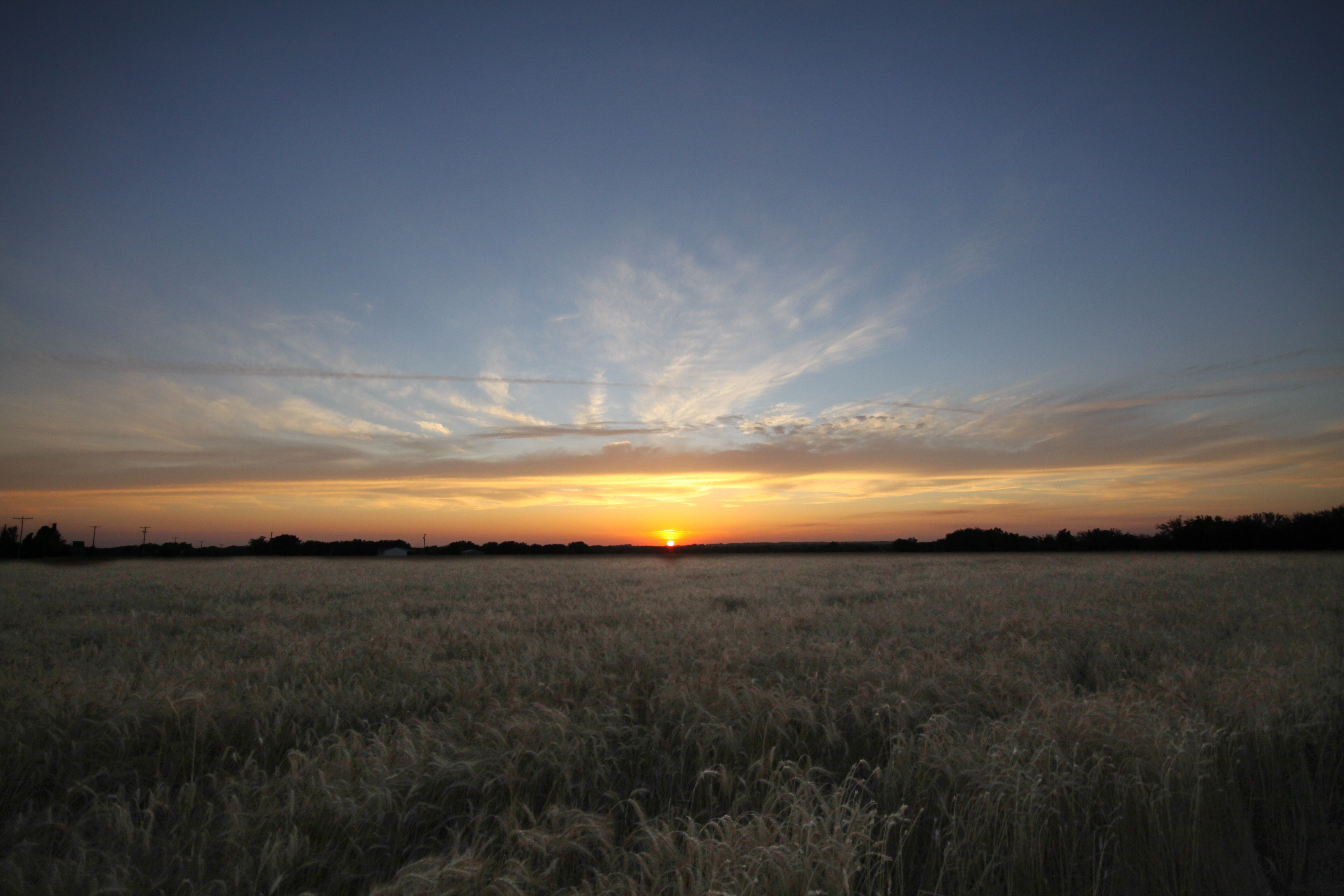
Sunkissed Wheat
Topographic Map of Sun Graphics, Broadway Ave, Parsons, KS, USA
Find elevation by address:

Places near Sun Graphics, Broadway Ave, Parsons, KS, USA:
Downtown Soup And Salad
S A Imprints
Parsons
Big Sky Bistro
Safe Haven Outreach Mission
Rose, Dr. Thomas A
995 Pratt Rd
Parsons State Hospital And Training Center
Elm Ave, Parsons, KS, USA
Pizzo's Restaurant
Va Medical Center Parsons
North
Scott Rd, Parsons, KS, USA
Labette County
Center Bethel Church
Liberty
Labette
Hackberry St, Oswego, KS, USA
777 21000 Rd
755 21000 Rd
Recent Searches:
- Elevation of Unnamed Road, Respublika Severnaya Osetiya — Alaniya, Russia
- Elevation of Verkhny Fiagdon, North Ossetia–Alania Republic, Russia
- Elevation of F. Viola Hiway, San Rafael, Bulacan, Philippines
- Elevation of Herbage Dr, Gulfport, MS, USA
- Elevation of Lilac Cir, Haldimand, ON N3W 2G9, Canada
- Elevation of Harrod Branch Road, Harrod Branch Rd, Kentucky, USA
- Elevation of Wyndham Grand Barbados Sam Lords Castle All Inclusive Resort, End of Belair Road, Long Bay, Bridgetown Barbados
- Elevation of Iga Trl, Maggie Valley, NC, USA
- Elevation of N Co Rd 31D, Loveland, CO, USA
- Elevation of Lindever Ln, Palmetto, FL, USA