Elevation of Fairview, KS, USA
Location: United States > Kansas > Labette County >
Longitude: -95.205790
Latitude: 37.1617396
Elevation: 271m / 889feet
Barometric Pressure: 98KPa
Elevation Map:
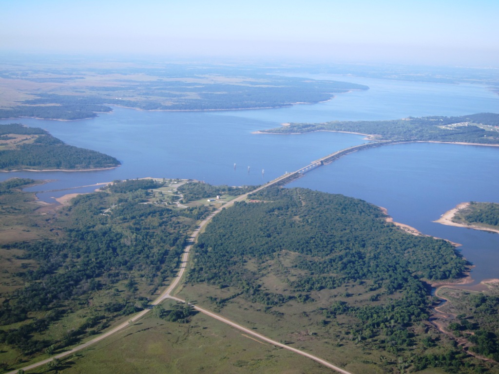
Satellite Map:
Related Photos:
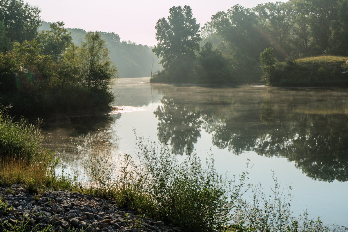
view from the bluff
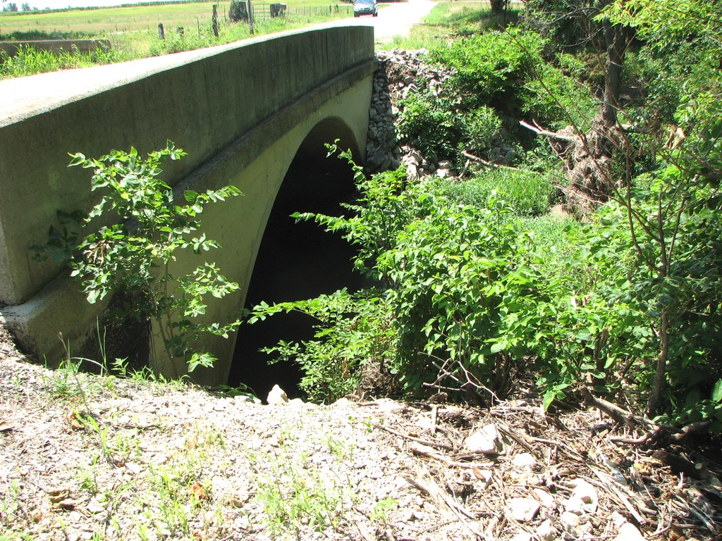
Arch View: Branch of Pumpkin Creek
strip pit
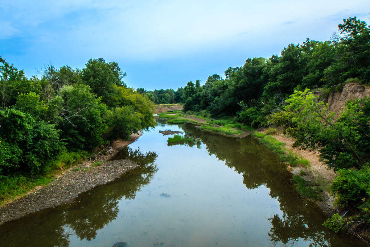
Labette Creek
strip pit
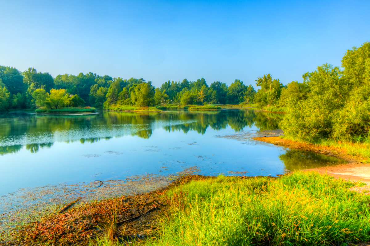
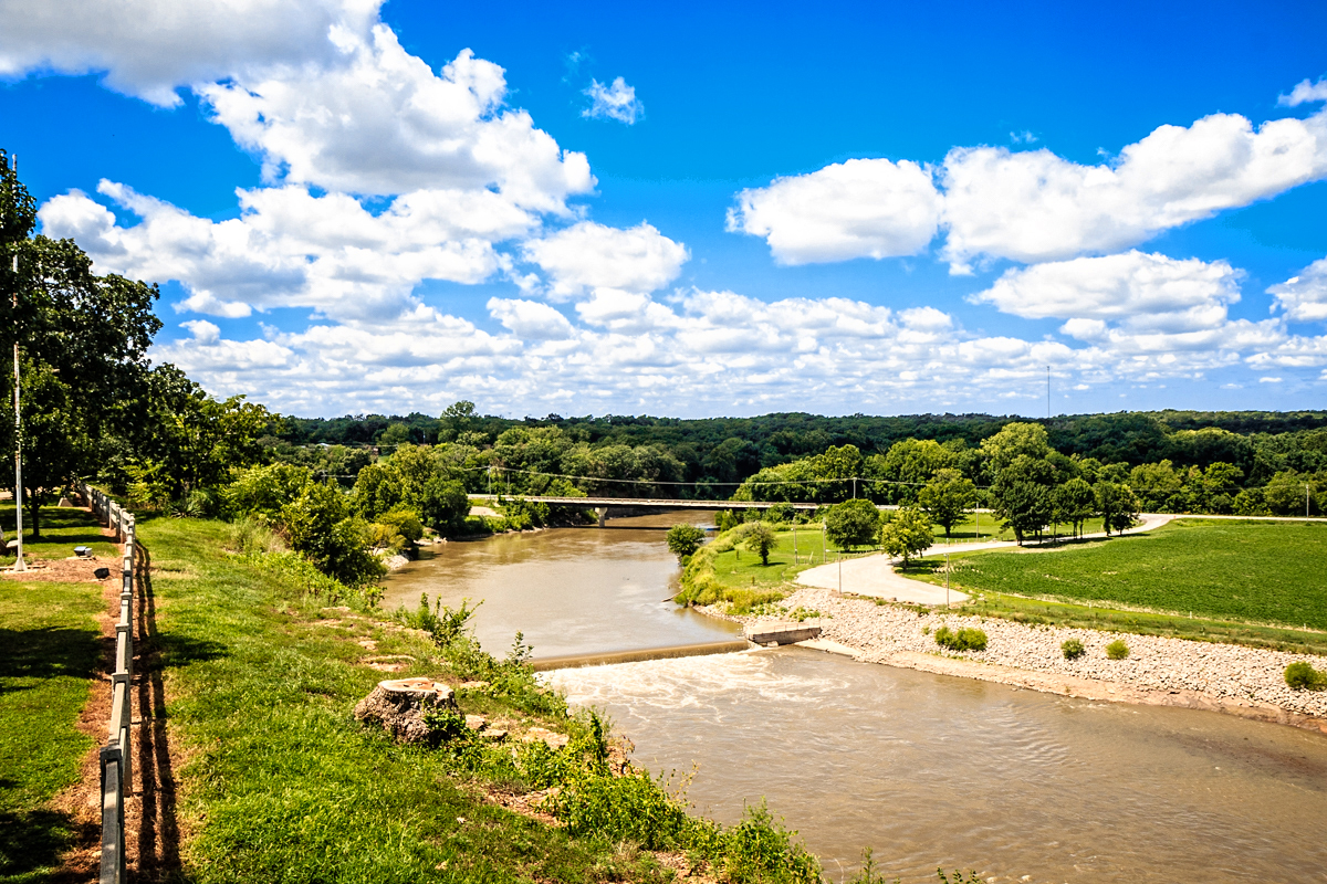
Neosho River from Riverside Park
good morning Oswego Kansas
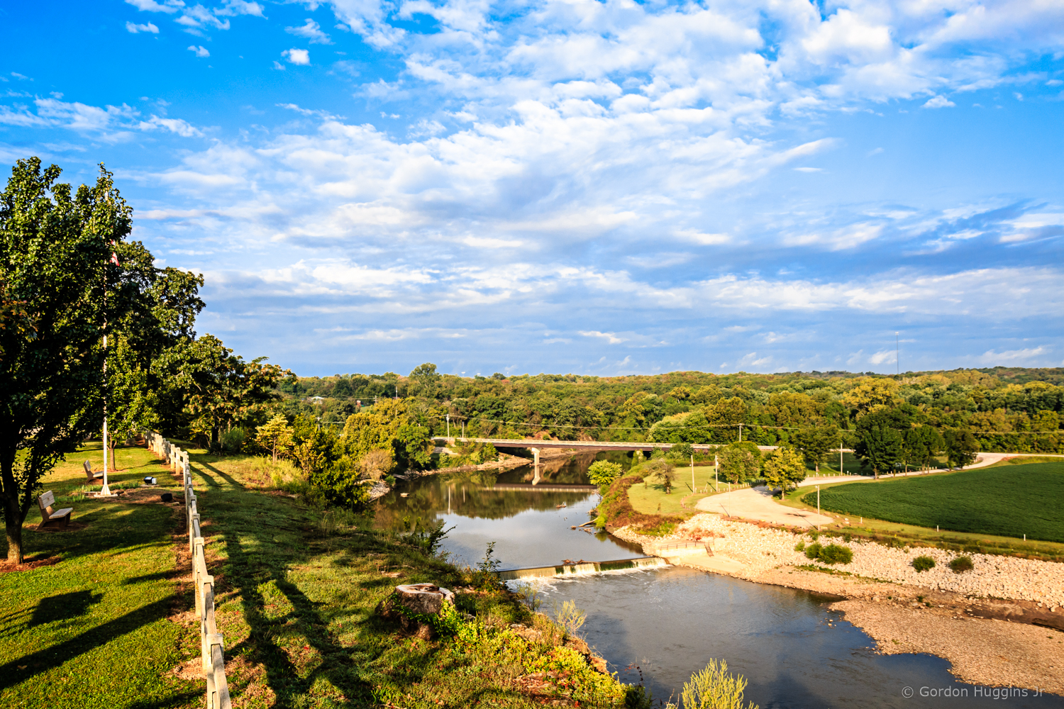
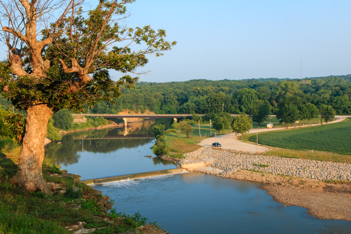
Riverside Park overlook
IMG4085r Kaw Lake OK.jpg

IMG4097r Ponca City OK.jpg

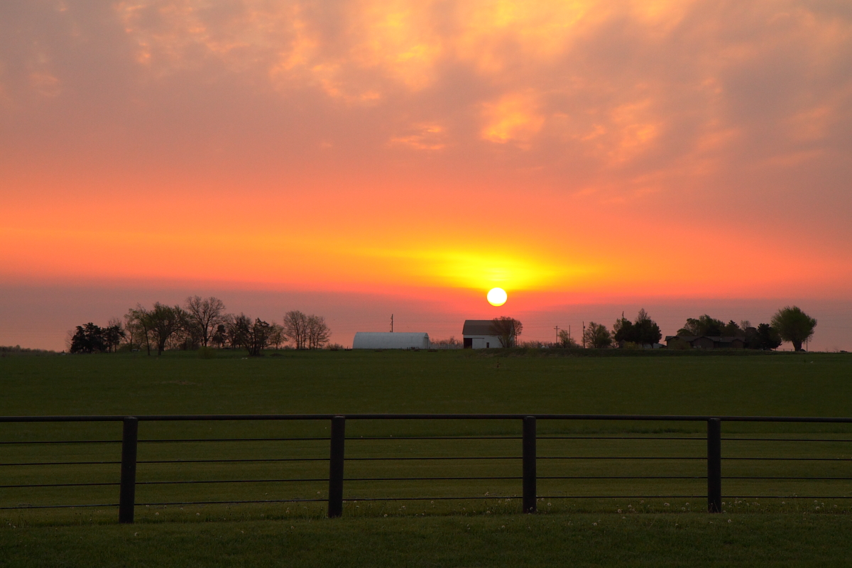
barn with big door
Topographic Map of Fairview, KS, USA
Find elevation by address:

Places in Fairview, KS, USA:
Places near Fairview, KS, USA:
Scott Rd, Oswego, KS, USA
Labette
Hackberry St, Oswego, KS, USA
Lavender Farms
Liberty
Hackberry
Center Bethel Church
Main St, Bartlett, KS, USA
Bartlett
Mount Pleasant
Labette County
Elm Grove
Maple St, Chetopa, KS, USA
North
Scott Rd, Parsons, KS, USA
Elm Grove Cemetery
Safe Haven Outreach Mission
Big Sky Bistro
Sun Graphics
Parsons
Recent Searches:
- Elevation of Hercules Dr, Colorado Springs, CO, USA
- Elevation of Szlak pieszy czarny, Poland
- Elevation of Griffing Blvd, Biscayne Park, FL, USA
- Elevation of Kreuzburger Weg 13, Düsseldorf, Germany
- Elevation of Gateway Blvd SE, Canton, OH, USA
- Elevation of East W.T. Harris Boulevard, E W.T. Harris Blvd, Charlotte, NC, USA
- Elevation of West Sugar Creek, Charlotte, NC, USA
- Elevation of Wayland, NY, USA
- Elevation of Steadfast Ct, Daphne, AL, USA
- Elevation of Lagasgasan, X+CQH, Tiaong, Quezon, Philippines