Elevation of Newbury Center Rd, Newbury, VT, USA
Location: United States > Vermont > Orange County > Newbury >
Longitude: -72.147827
Latitude: 44.123318
Elevation: 310m / 1017feet
Barometric Pressure: 0KPa
Related Photos:
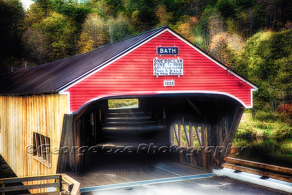
Bath Covered Bridge Entrance View, Bath, New Hampshire
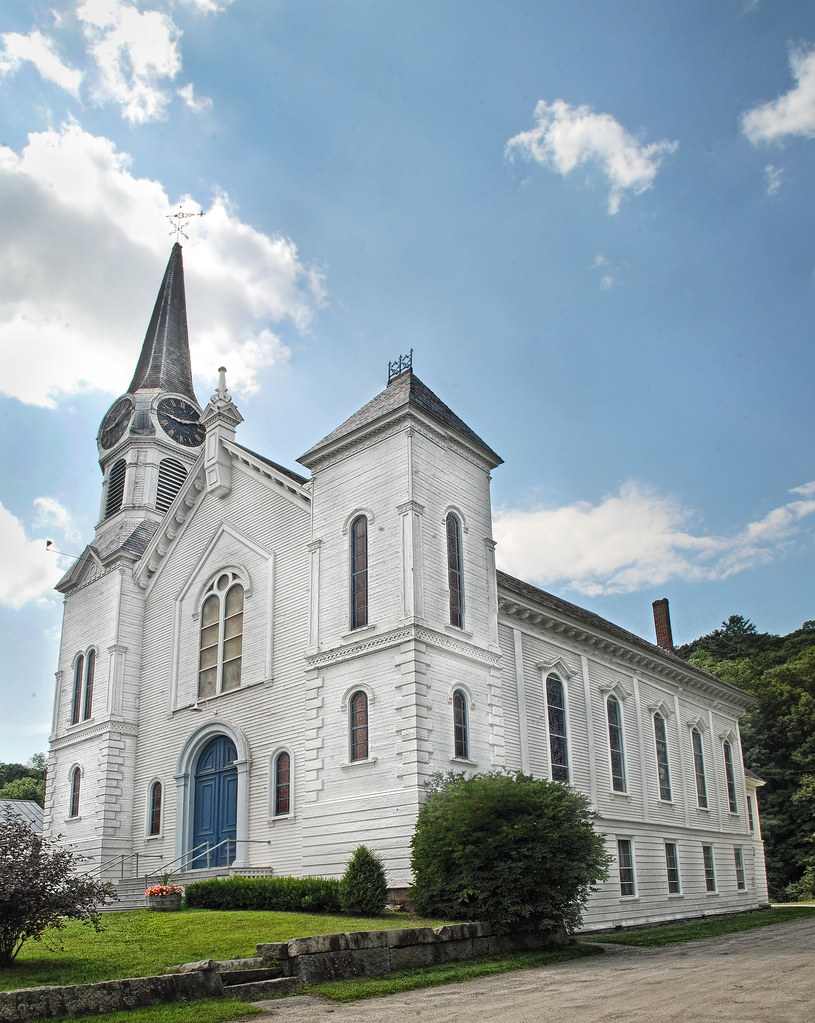
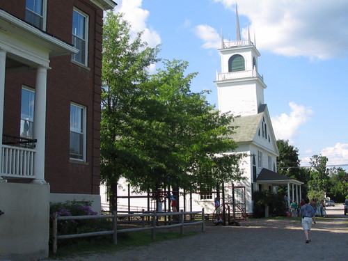
Congregational Church of Bradford, Vermont

Bath, NH
Borders of NH
Good morning, Cabin! (View from the outhouse) #nofilter #cabinlove
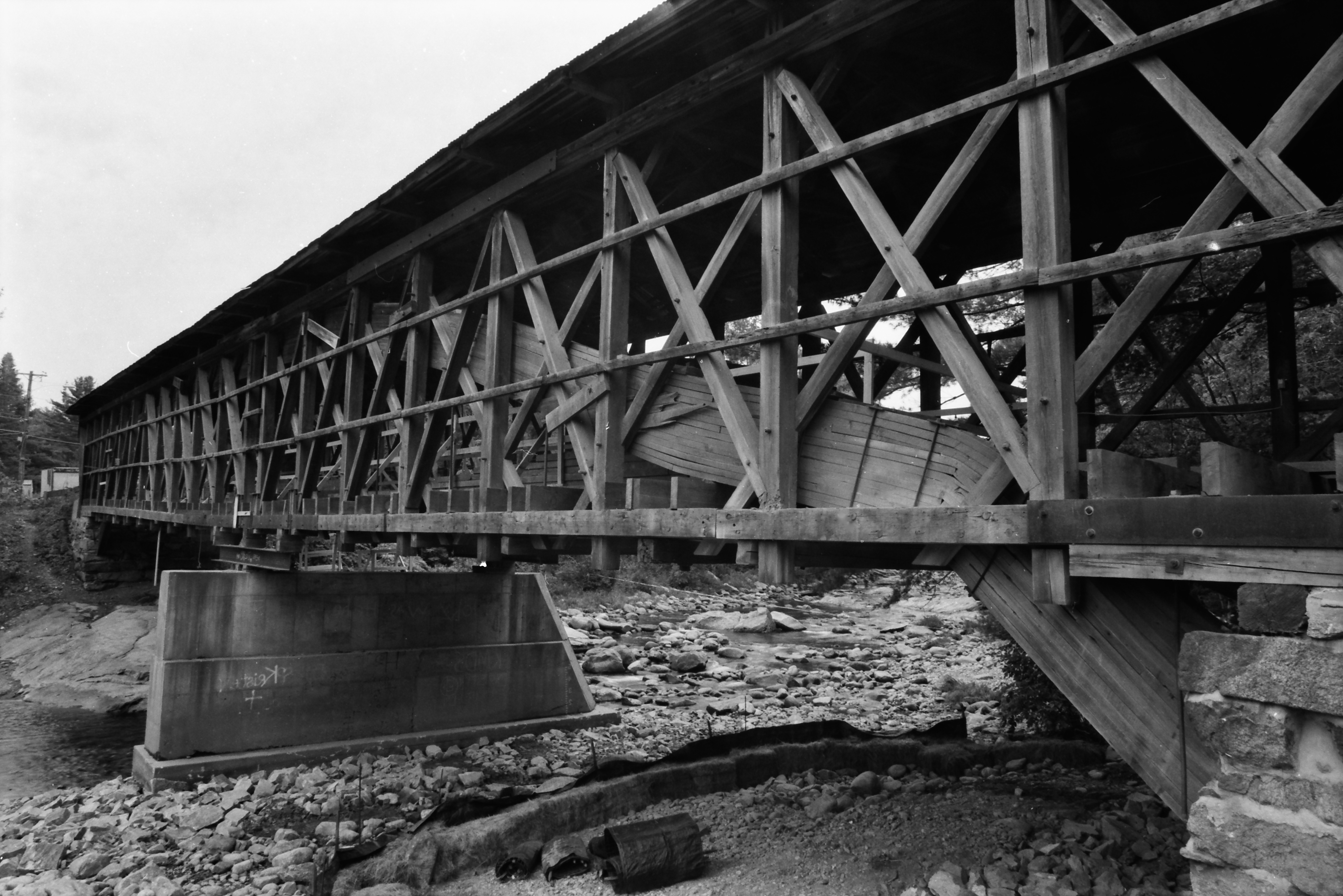
Broken Bridge
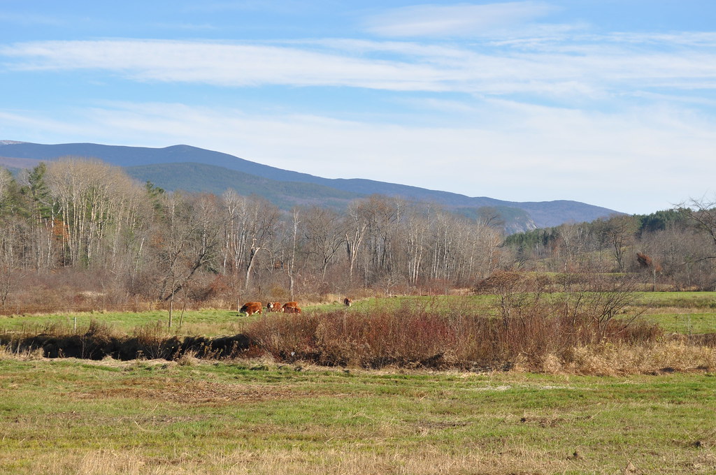
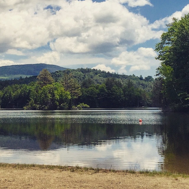
Cow Pasture and Mount Moosilauke

View from the bed. Somehow waking up early just doesn't hurt so much at the Cabin.
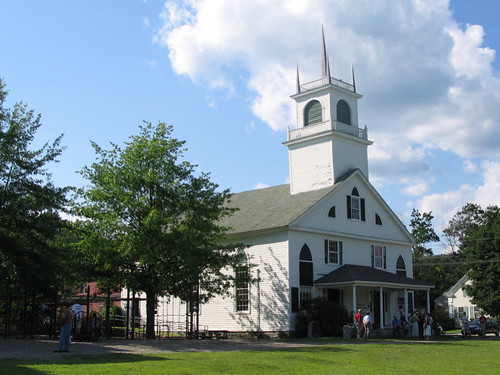
Another View of the Church
From the Green

"LOW CLOUDS" Vermont
My happy place #newhampshire
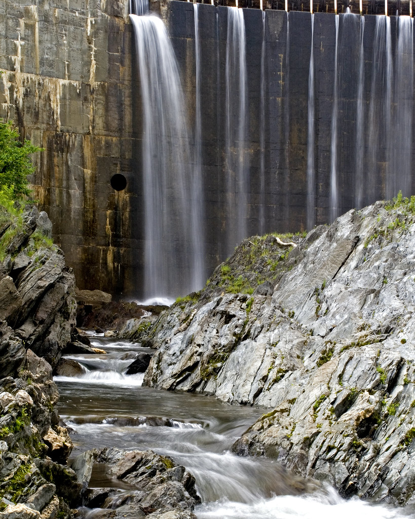
Bradford Dam
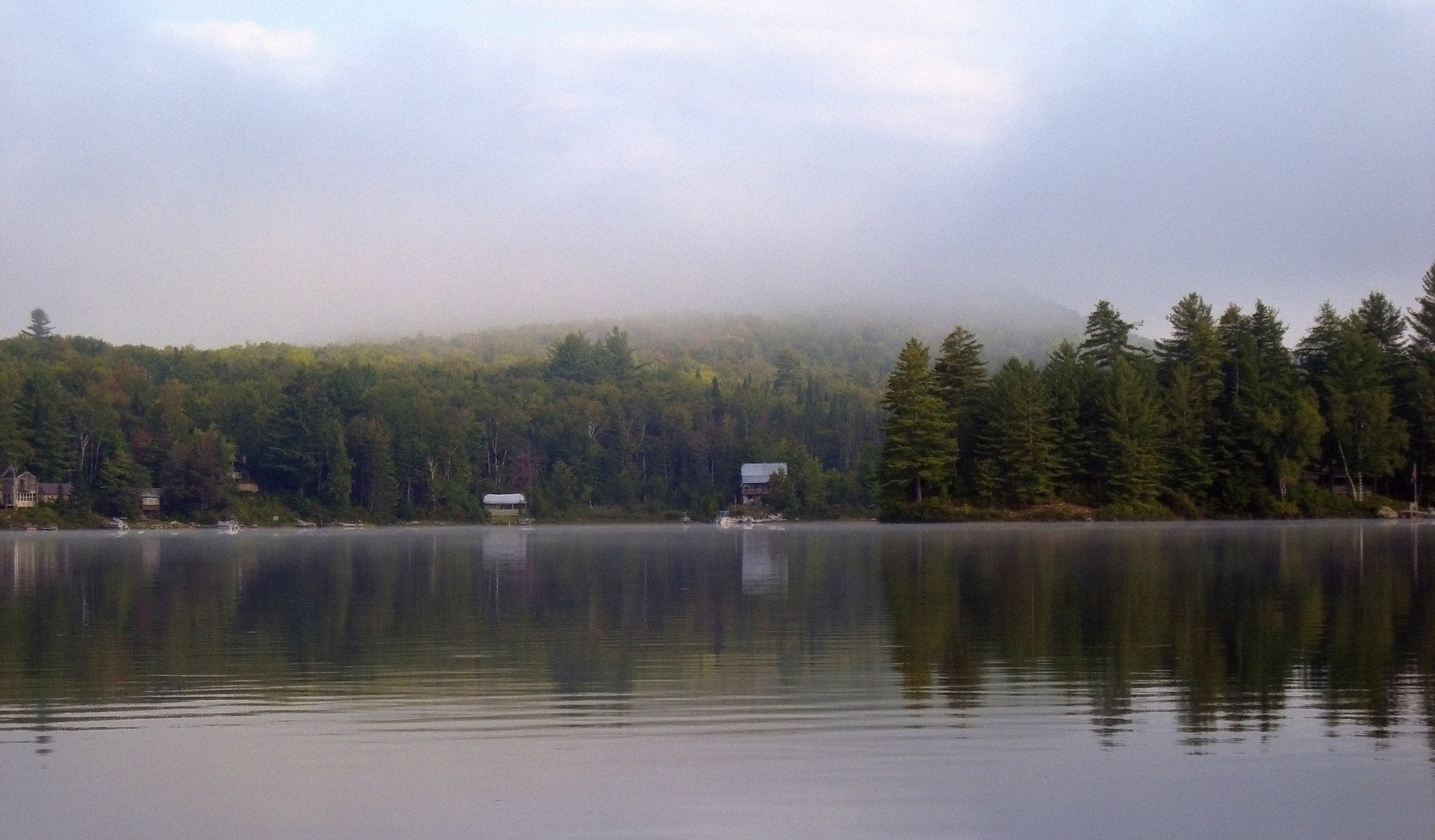
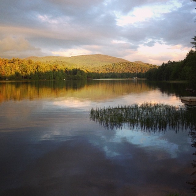
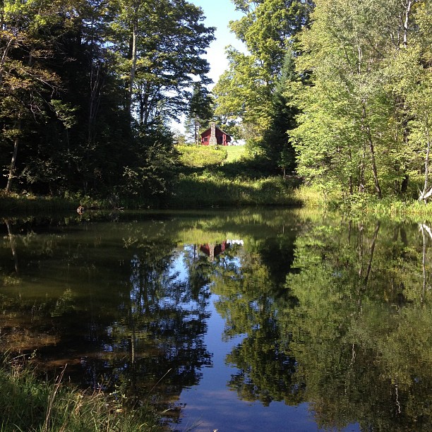
Morning fog over Ricker Pond
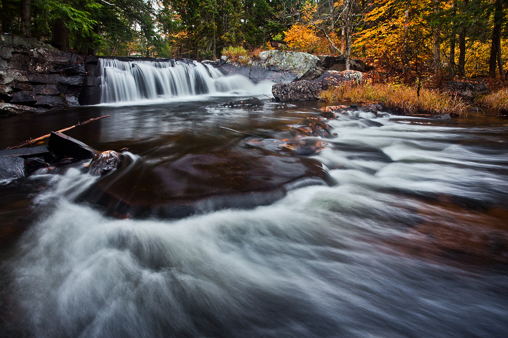
Little Unnamed Waterfall in Vermont
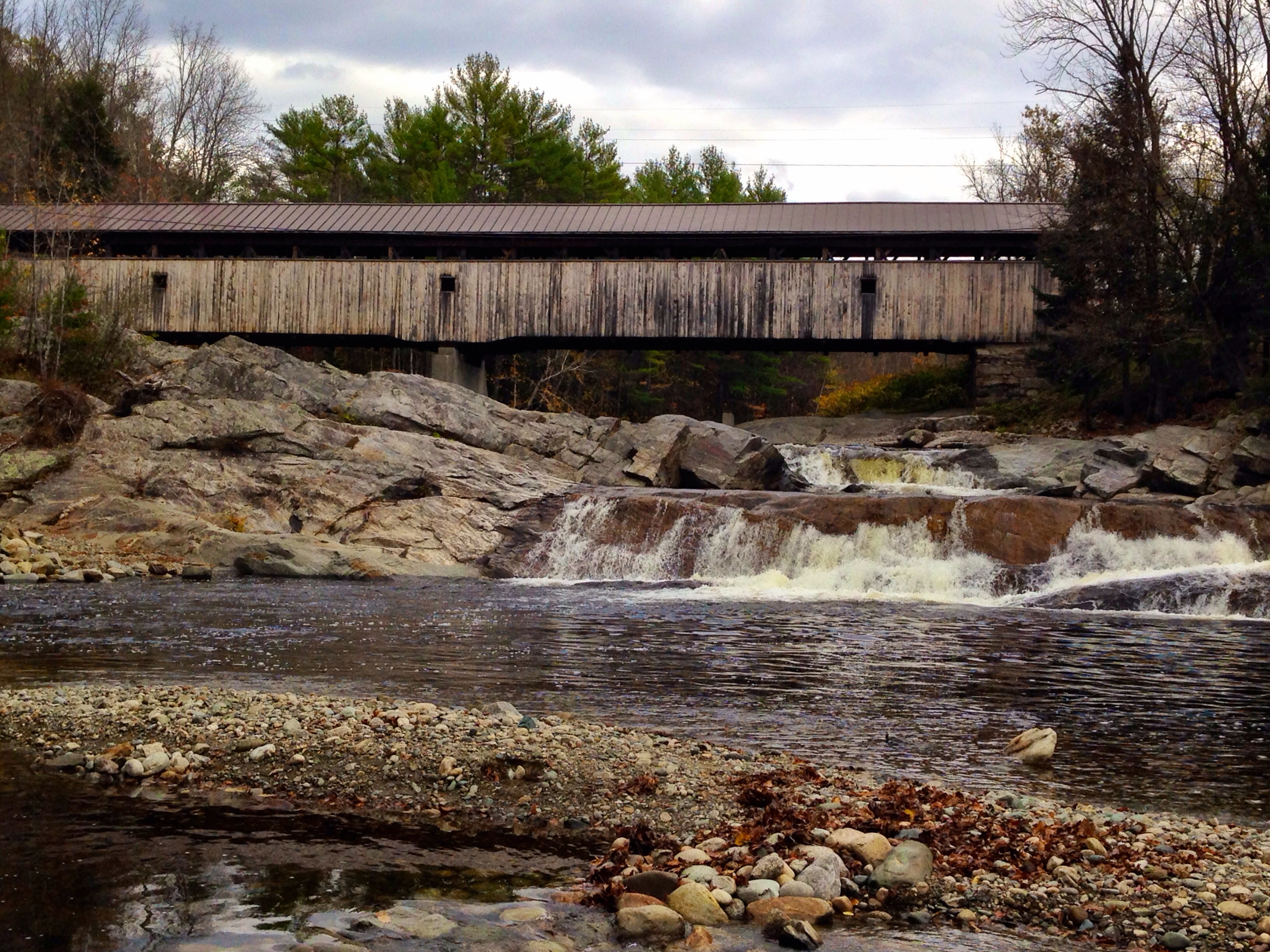
Covered Bridge
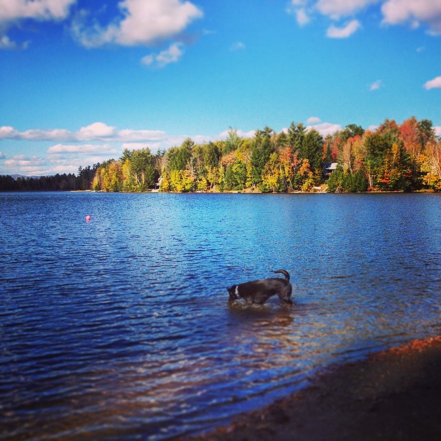
My favorite fishing spot
'Morning. #woodsville #mountainlakes #newhampshire #labordayweekend

A break in the wall and a wide path of ferns. I wonder..... Morning walk #9 #ilovethecabin

IMGP2816 2009 sept b

Ruby Throated Hummingbird
September - a photo a day of thankfulness. And I'm only a day late starting. . Day one - thankful to be able to take this picture almost every year.
Andy is always ready for a swim! #fall

East Corinth, Vermont

Oh, wait! I think it's getting prettier! #ilovethecabin

Lối Thu
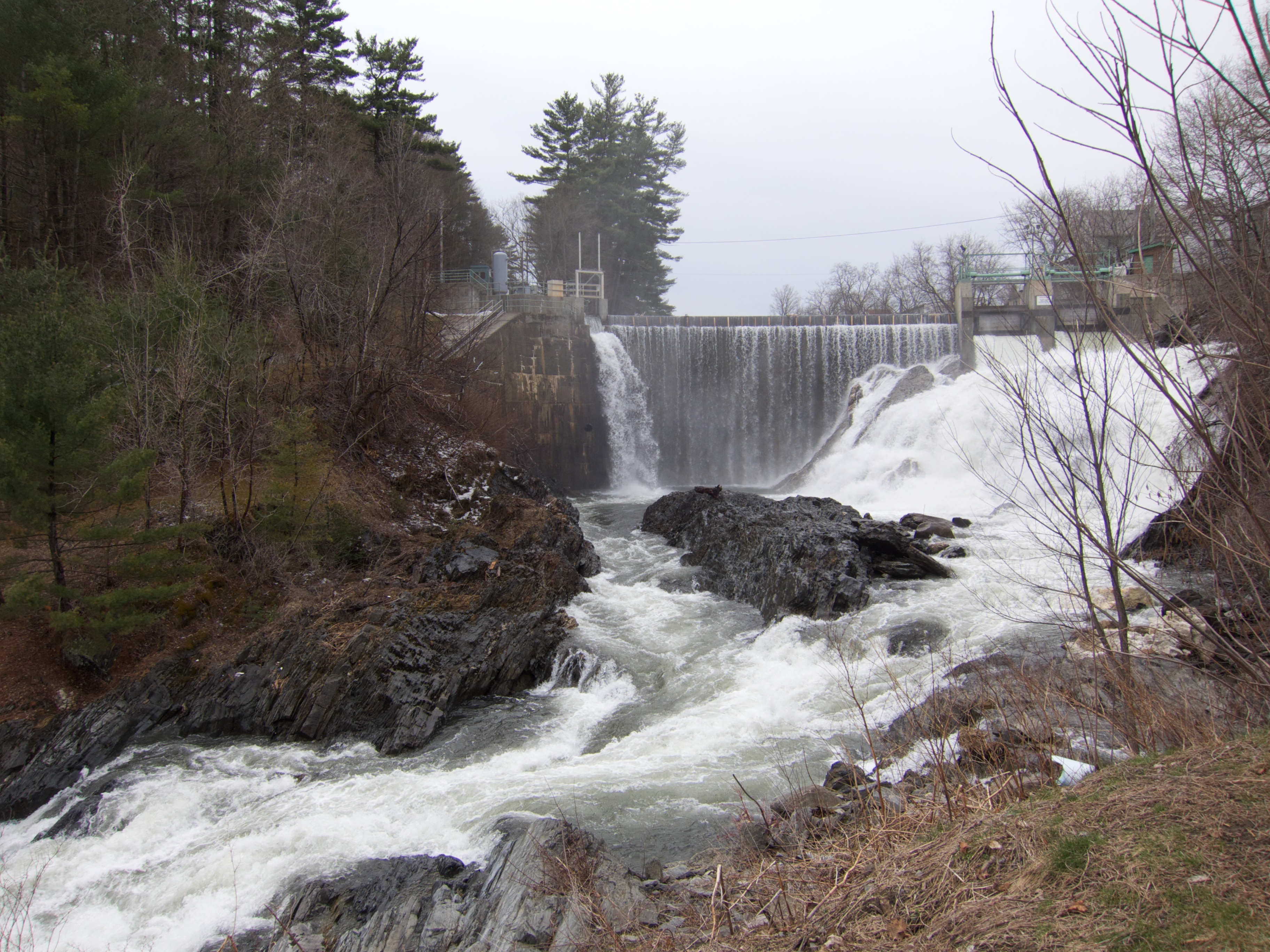
Bradford Dam

Sunset tonight made the sky look like it was on fire!
Perfect day for the classic cabin shot. #nofilter #ilovethecabin
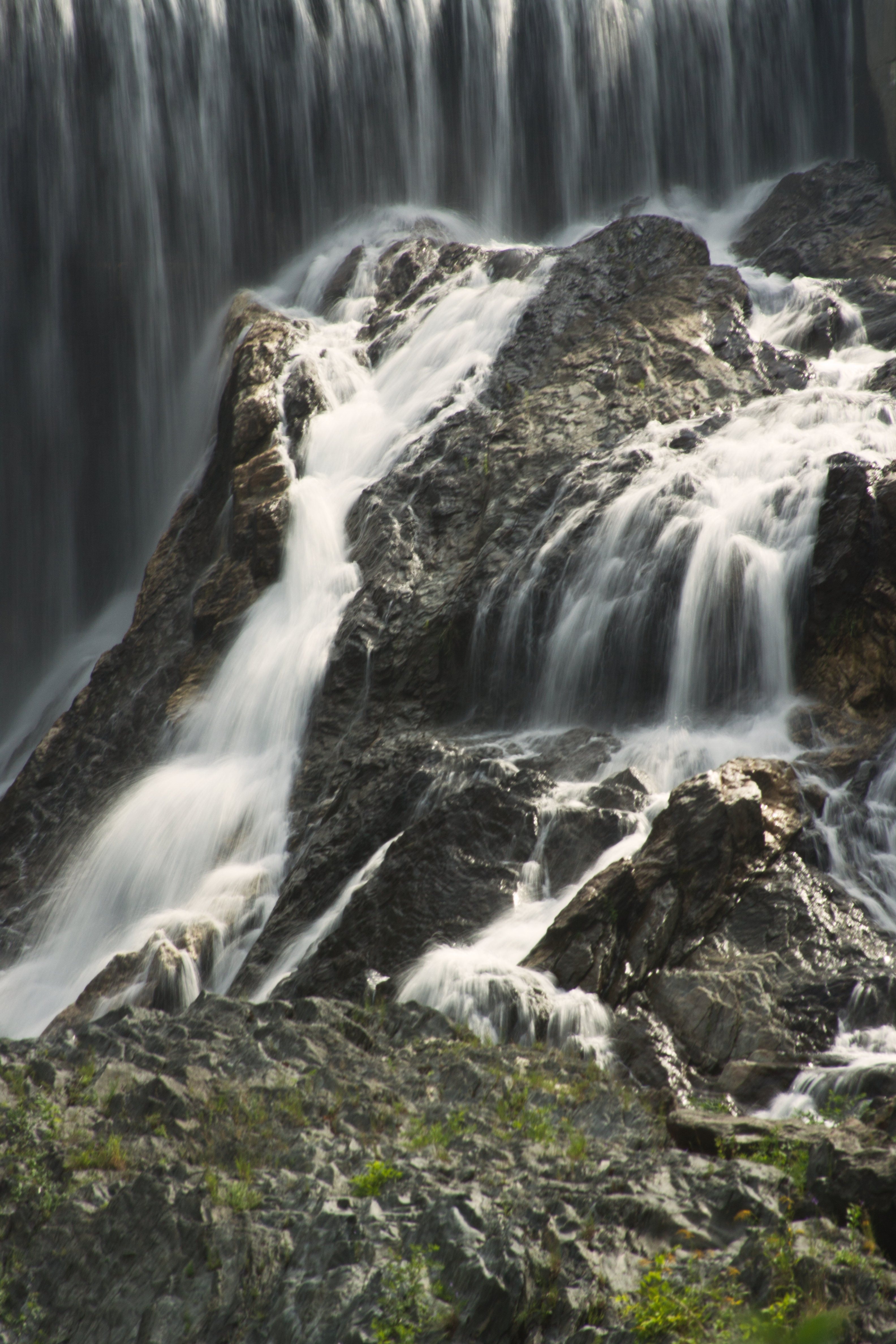
BRADFORD FALLS
Topographic Map of Newbury Center Rd, Newbury, VT, USA
Find elevation by address:

Places near Newbury Center Rd, Newbury, VT, USA:
Newbury
24 Seldom Seen Farm Rd
258 Vaughan Rd
8 Harts Crossroad
8 Harts Crossroad
8 Harts Crossroad
8 Harts Crossroad
8 Harts Crossroad
8 Harts Crossroad
8 Harts Rd
40 Jennings Ln
184 Stark Trail
184 Stark Trail
184 Stark Trail
52 Stoneshed Rd
8 Church St, South Ryegate, VT, USA
South Ryegate
Wallace Hill Road
93 Harts Rd
Powder Spring Road
Recent Searches:
- Elevation map of Greenland, Greenland
- Elevation of Sullivan Hill, New York, New York, 10002, USA
- Elevation of Morehead Road, Withrow Downs, Charlotte, Mecklenburg County, North Carolina, 28262, USA
- Elevation of 2800, Morehead Road, Withrow Downs, Charlotte, Mecklenburg County, North Carolina, 28262, USA
- Elevation of Yangbi Yi Autonomous County, Yunnan, China
- Elevation of Pingpo, Yangbi Yi Autonomous County, Yunnan, China
- Elevation of Mount Malong, Pingpo, Yangbi Yi Autonomous County, Yunnan, China
- Elevation map of Yongping County, Yunnan, China
- Elevation of North 8th Street, Palatka, Putnam County, Florida, 32177, USA
- Elevation of 107, Big Apple Road, East Palatka, Putnam County, Florida, 32131, USA
- Elevation of Jiezi, Chongzhou City, Sichuan, China
- Elevation of Chongzhou City, Sichuan, China
- Elevation of Huaiyuan, Chongzhou City, Sichuan, China
- Elevation of Qingxia, Chengdu, Sichuan, China
- Elevation of Corso Fratelli Cairoli, 35, Macerata MC, Italy
- Elevation of Tallevast Rd, Sarasota, FL, USA
- Elevation of 4th St E, Sonoma, CA, USA
- Elevation of Black Hollow Rd, Pennsdale, PA, USA
- Elevation of Oakland Ave, Williamsport, PA, USA
- Elevation of Pedrógão Grande, Portugal