Elevation of 93 Harts Rd, Topsham, VT, USA
Location: United States > Vermont > Orange County > Topsham >
Longitude: -72.217706
Latitude: 44.1264975
Elevation: 382m / 1253feet
Barometric Pressure: 97KPa
Elevation Map:
Satellite Map:
Related Photos:
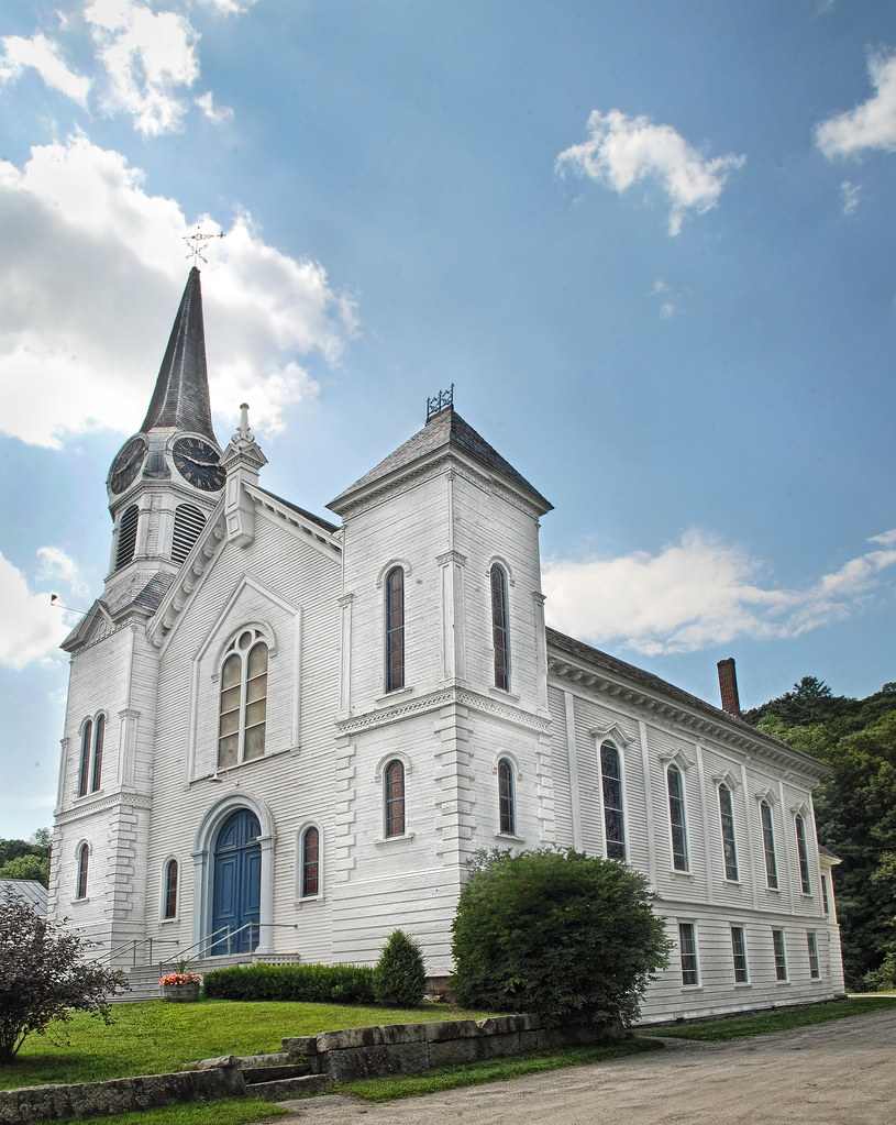
Congregational Church of Bradford, Vermont

91NB-Exit16-17
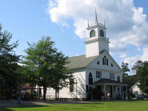
From the Green
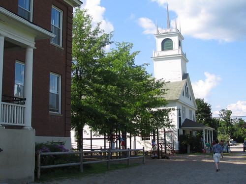
Another View of the Church
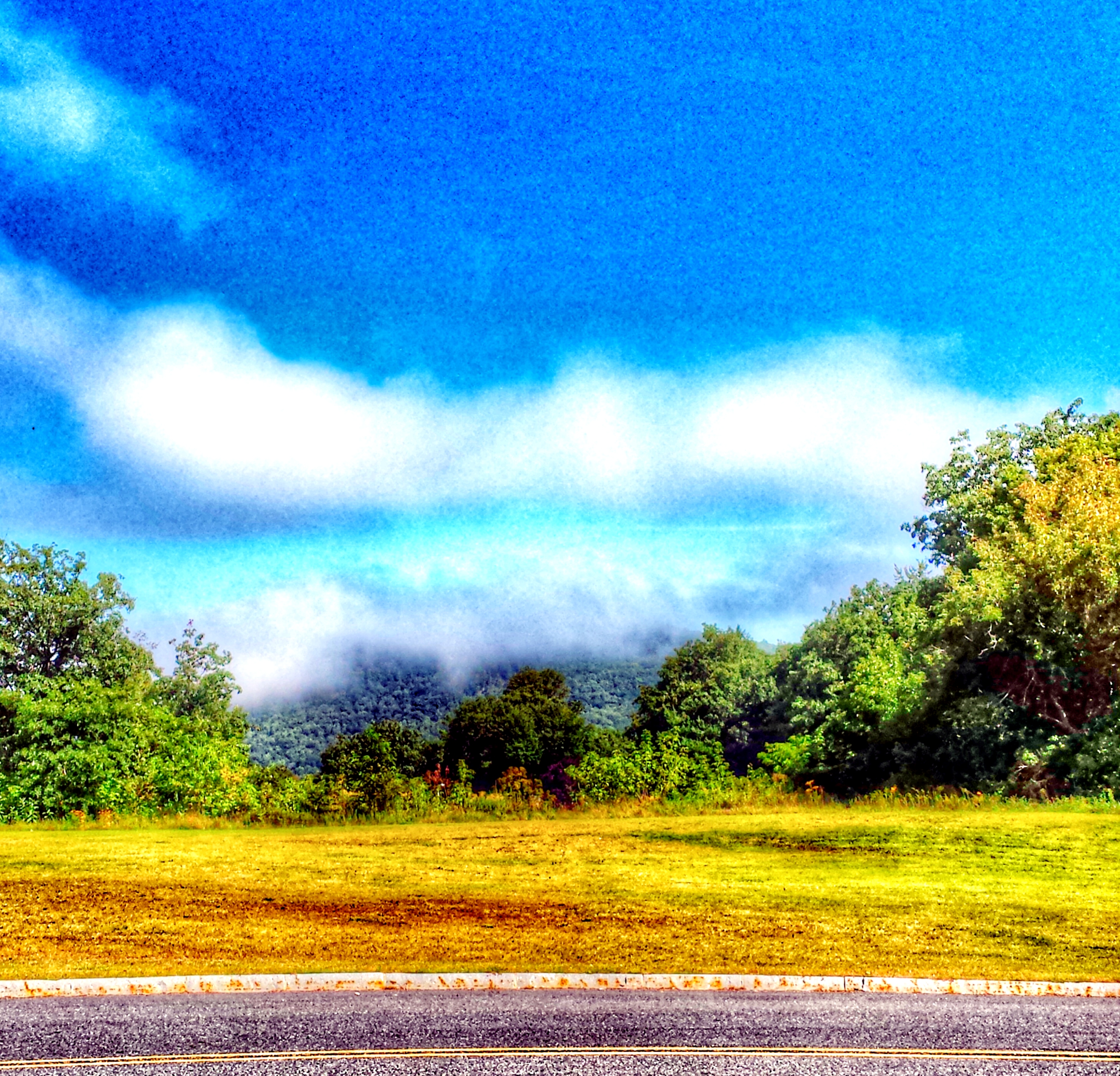
"LOW CLOUDS" Vermont

Ammonoosuc River

East Corinth, Vermont

Autumn in Vermont

East Orange
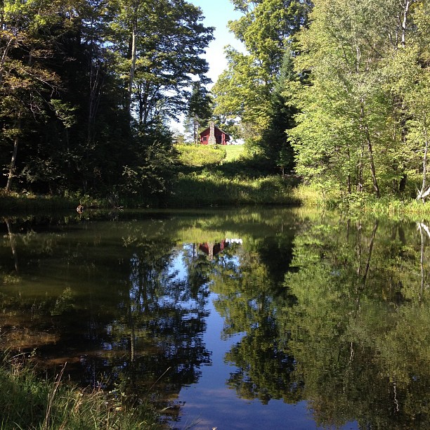
Perfect day for the classic cabin shot. #nofilter #ilovethecabin

Waits River

Ruby Throated Hummingbird
Bath-Haverhill Covered Bridge
Bedell Covered Bridge- Grafton County NH (3)
9/17/12

Wright’s Mountain
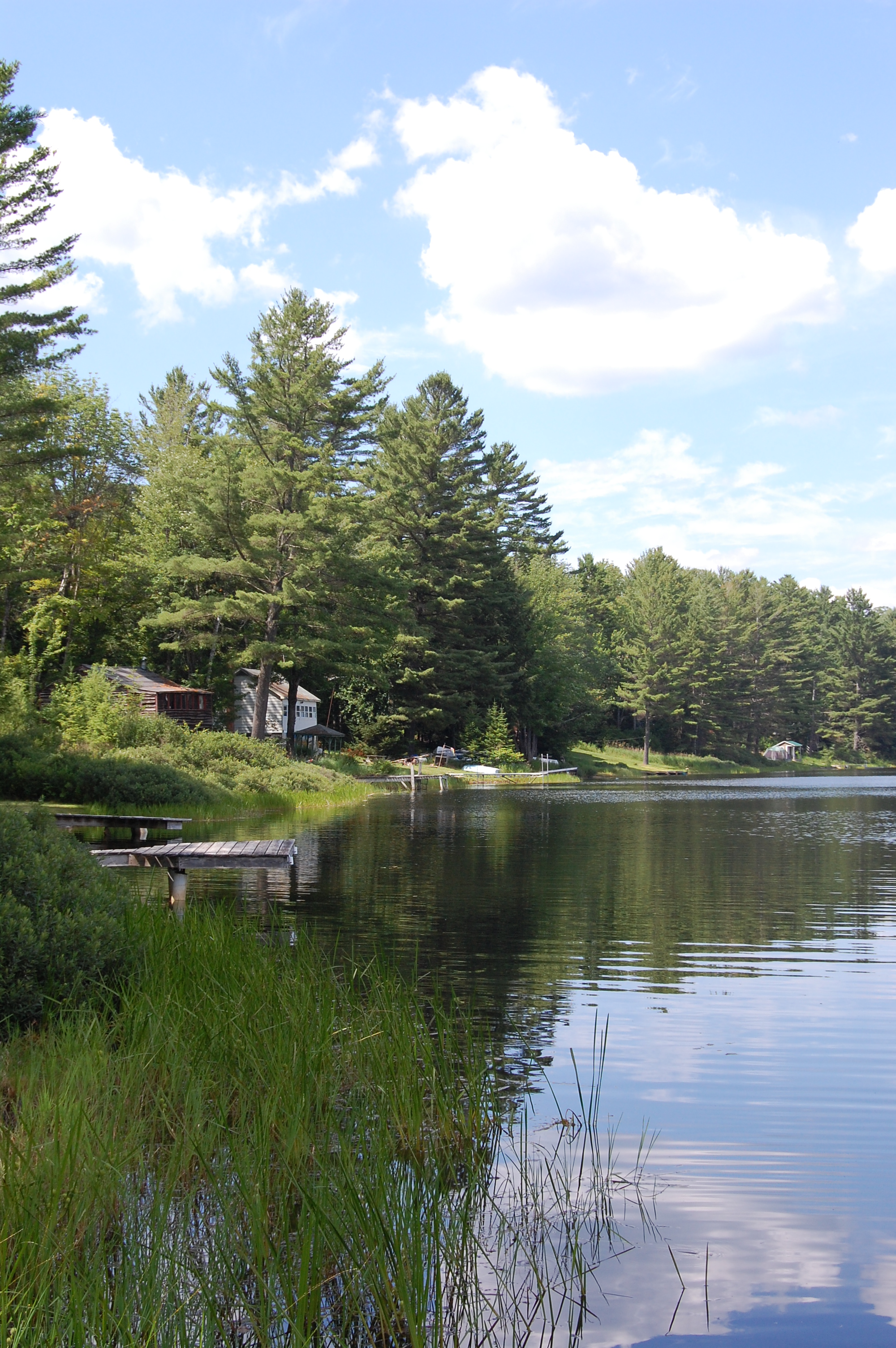
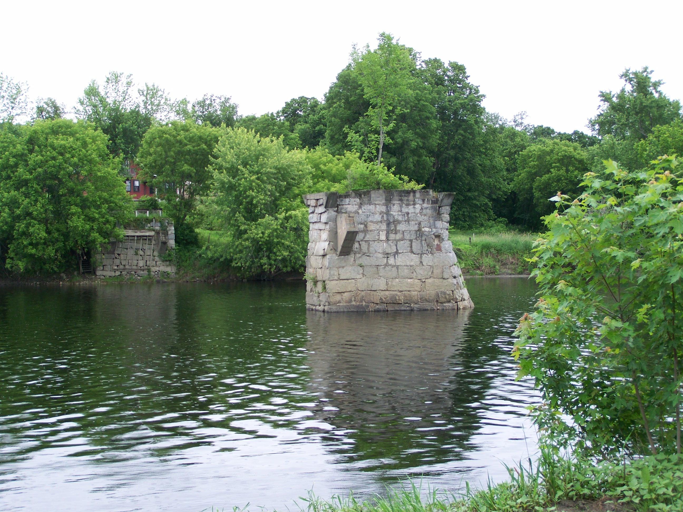
Round Pond
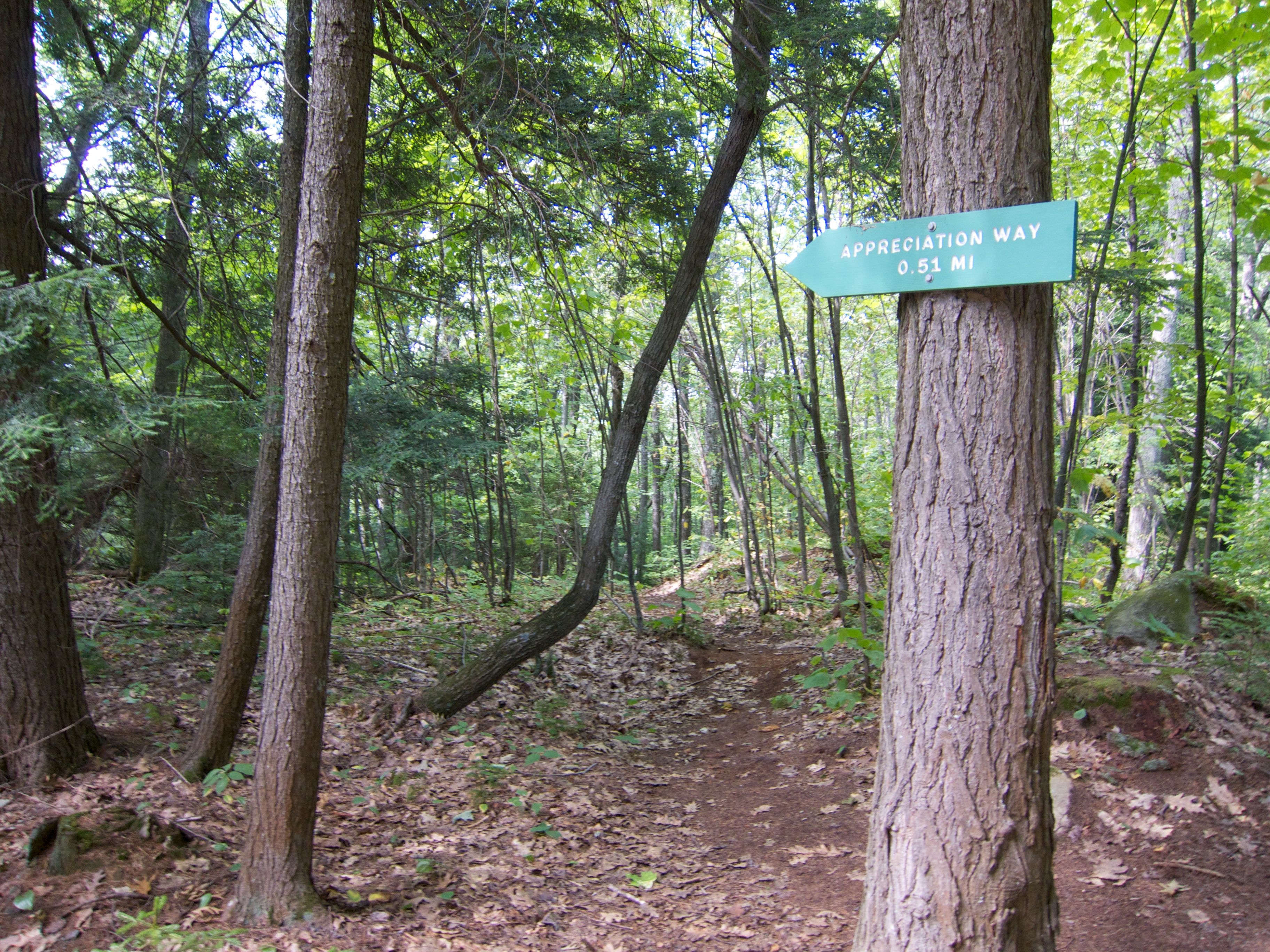
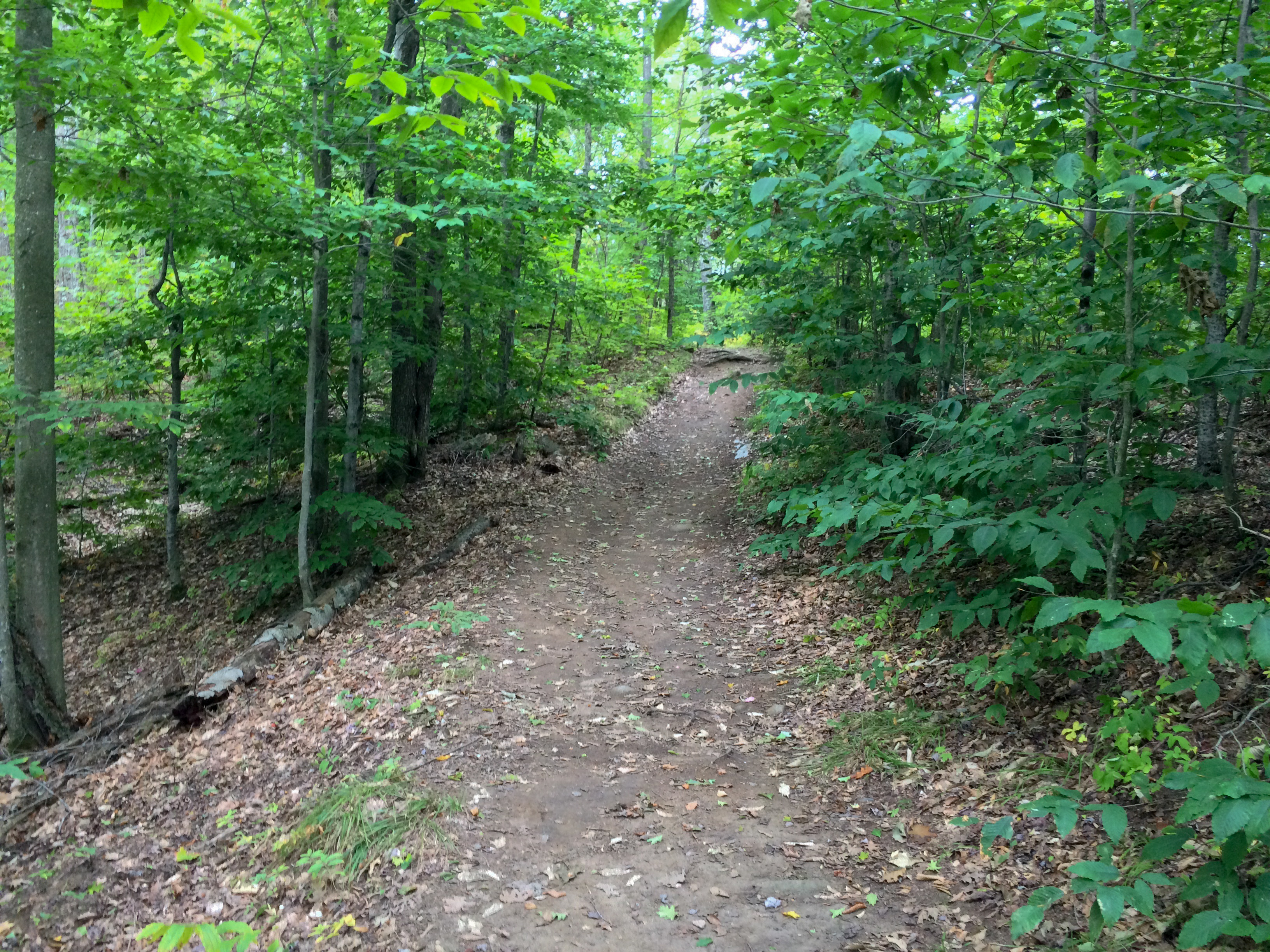
Appreciation Way
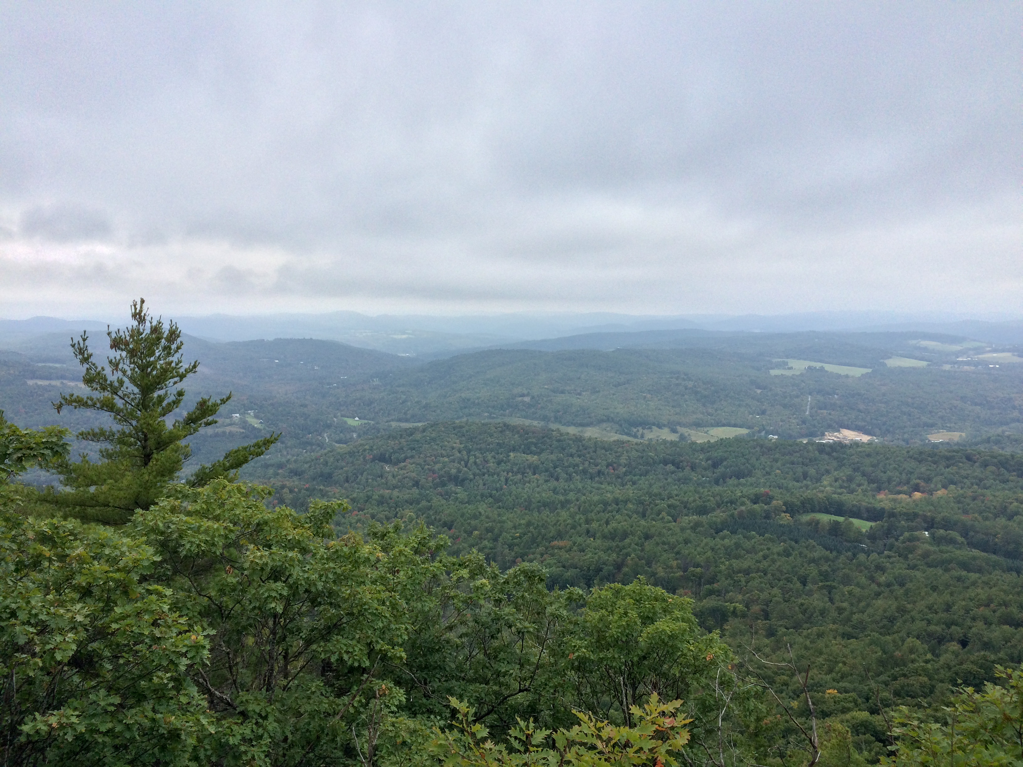
Wright’s Mountain

Wright’s Mountain
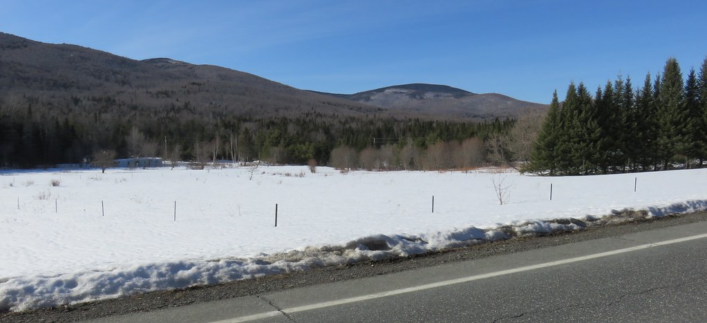
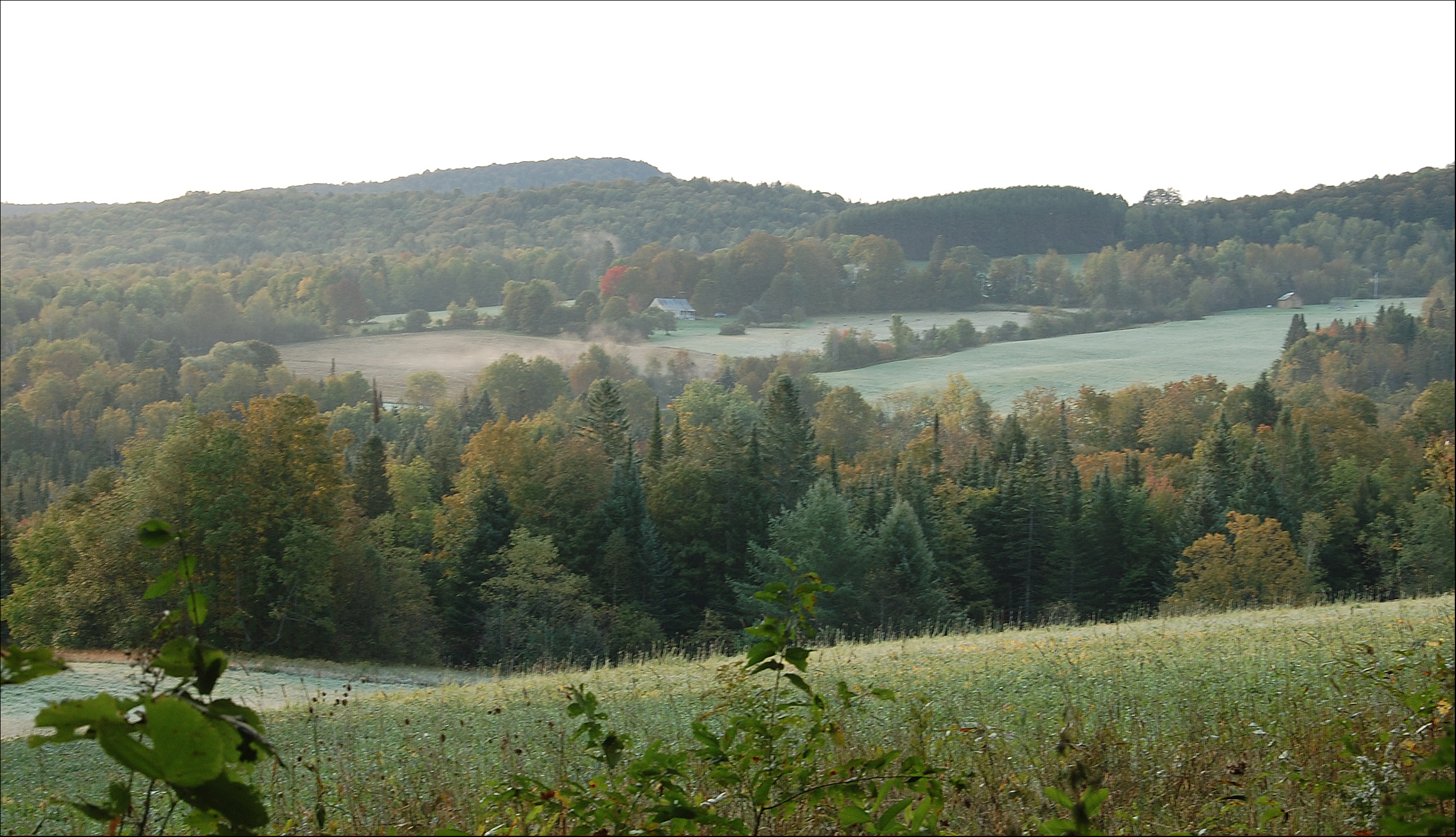
Northern New England Landscape (Topsham Town, Vermont)
Wright’s Mountain
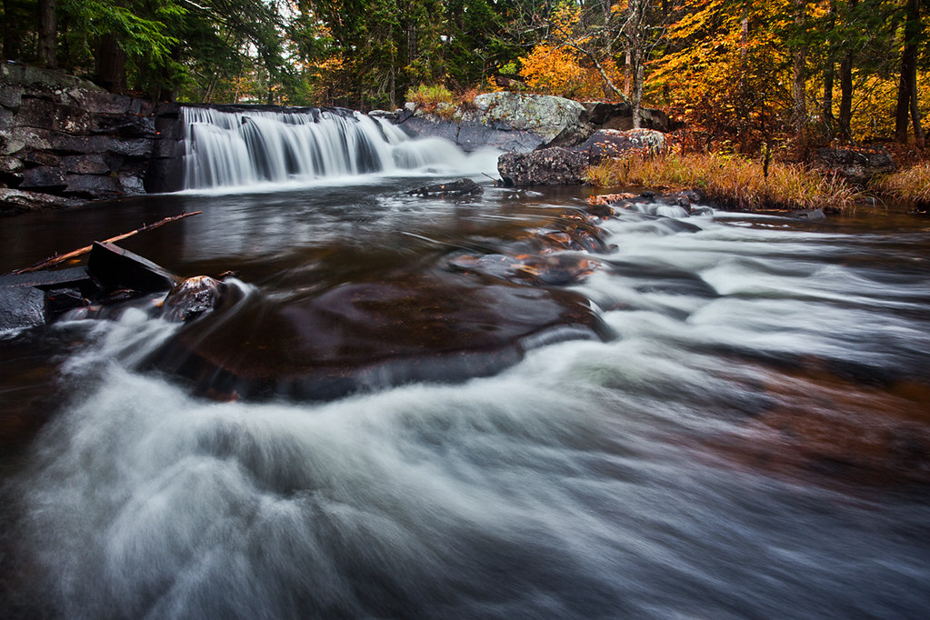
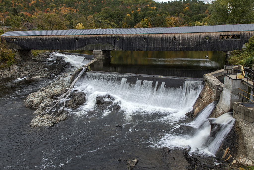
Little Unnamed Waterfall in Vermont

Evening at East Corinth, Vermont
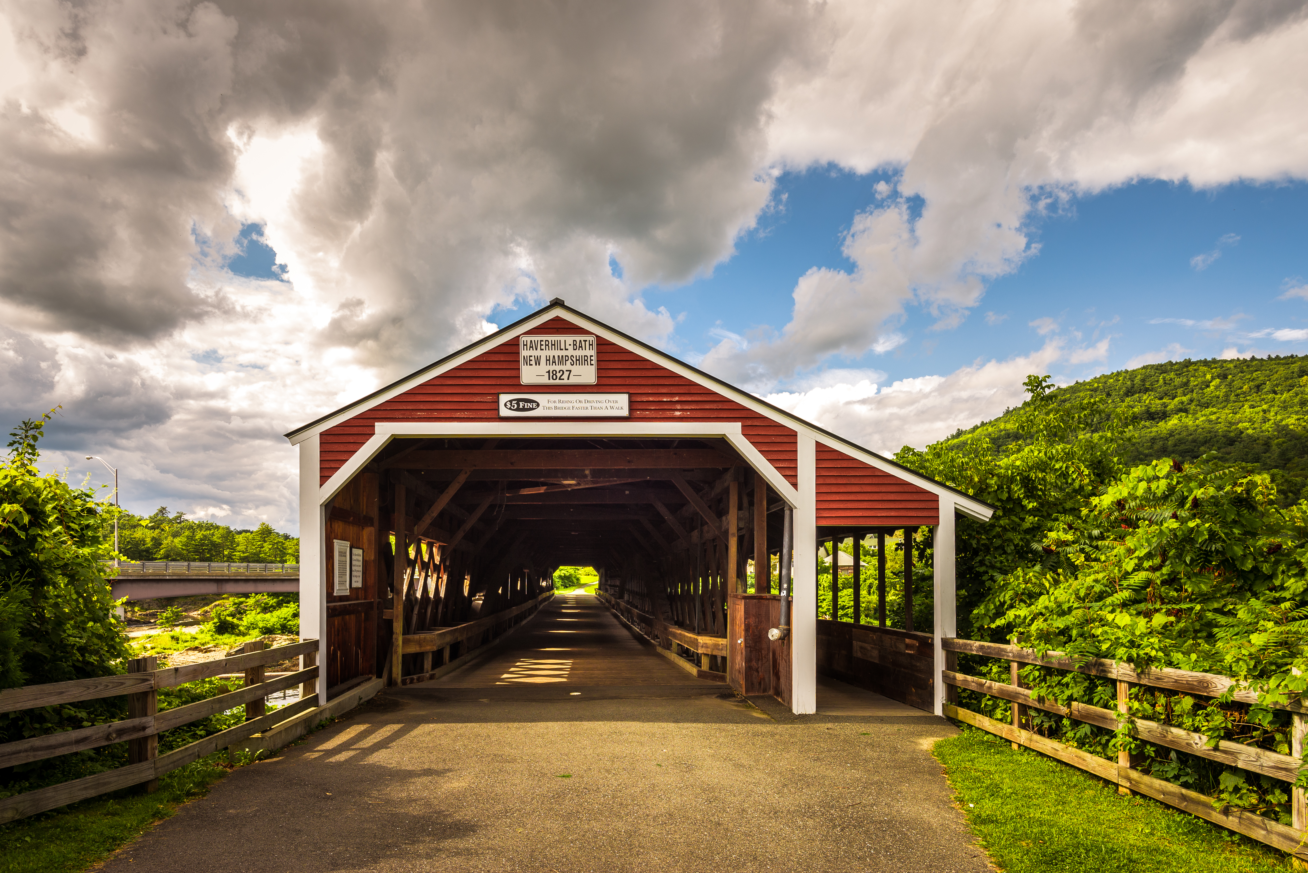
Haverhill-Bath Covered Bridge
Topographic Map of 93 Harts Rd, Topsham, VT, USA
Find elevation by address:

Places near 93 Harts Rd, Topsham, VT, USA:
8 Harts Rd
8 Harts Crossroad
8 Harts Crossroad
8 Harts Crossroad
8 Harts Crossroad
8 Harts Crossroad
8 Harts Crossroad
Powder Spring Road
Topsham
24 Seldom Seen Farm Rd
18 Kasson Rd
230 Willey Hill Rd
Newbury Center Rd, Newbury, VT, USA
13 Mountain View Dr
Mountain View Drive
258 Vaughan Rd
158 Railroad St
Newbury
1334 Scott Hwy #3
52 Stoneshed Rd
Recent Searches:
- Elevation of Warwick, RI, USA
- Elevation of Fern Rd, Whitmore, CA, USA
- Elevation of 62 Abbey St, Marshfield, MA, USA
- Elevation of Fernwood, Bradenton, FL, USA
- Elevation of Felindre, Swansea SA5 7LU, UK
- Elevation of Leyte Industrial Development Estate, Isabel, Leyte, Philippines
- Elevation of W Granada St, Tampa, FL, USA
- Elevation of Pykes Down, Ivybridge PL21 0BY, UK
- Elevation of Jalan Senandin, Lutong, Miri, Sarawak, Malaysia
- Elevation of Bilohirs'k