Elevation of South Ryegate, Ryegate, VT, USA
Location: United States > Vermont > Caledonia County > Ryegate >
Longitude: -72.140927
Latitude: 44.1883959
Elevation: 229m / 751feet
Barometric Pressure: 99KPa
Elevation Map:
Satellite Map:
Related Photos:
Peacham Mist
Bath, NH
Borders of NH
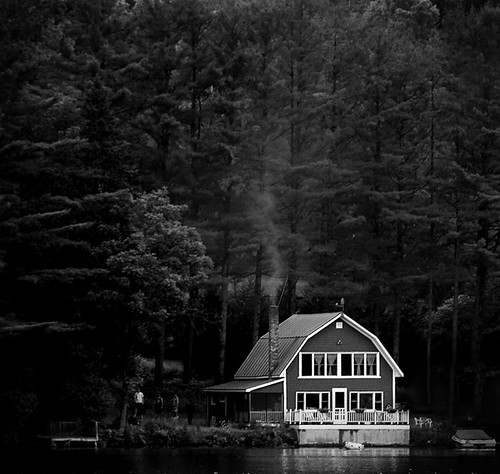
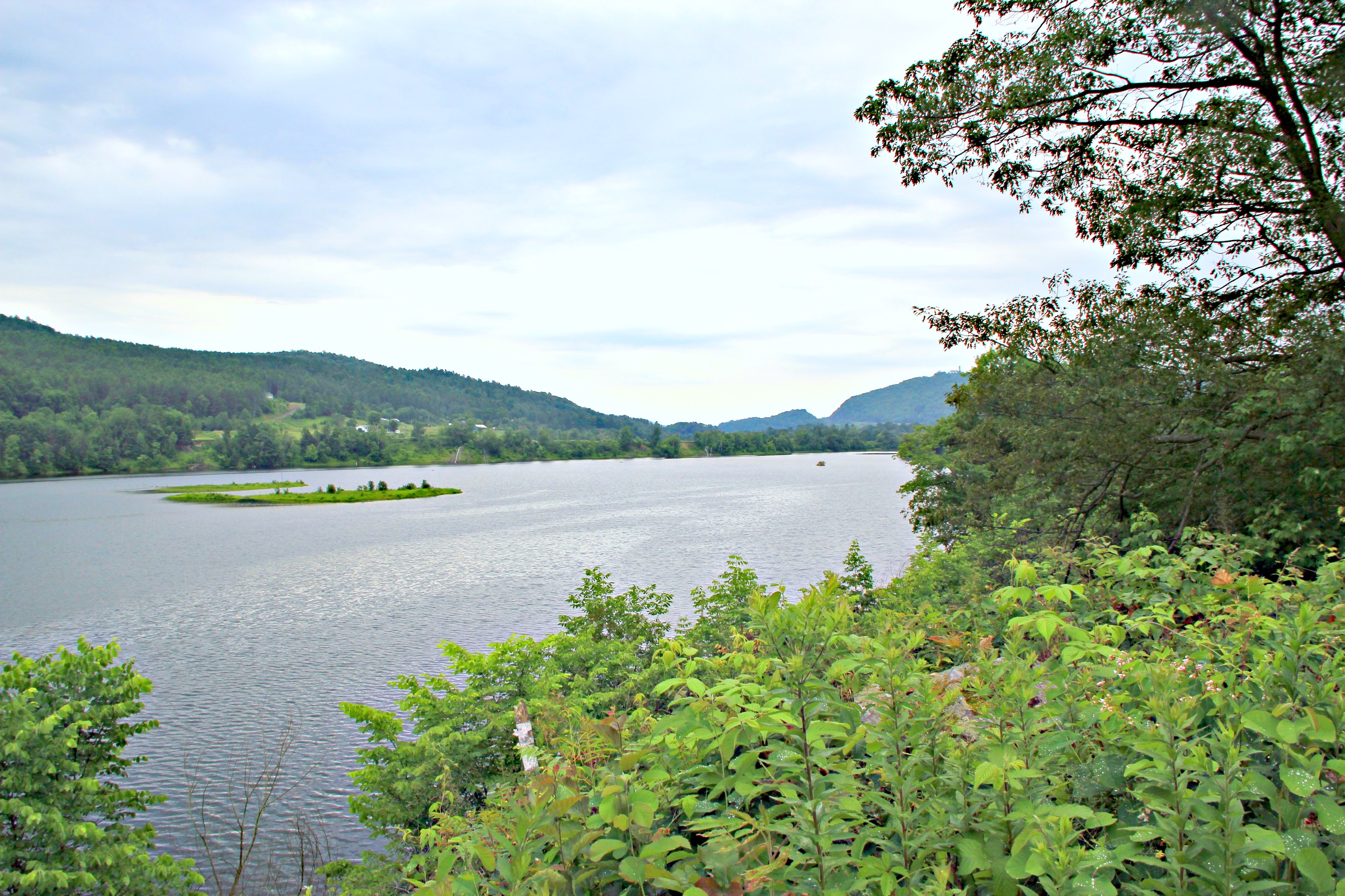
Lake Barnet

Looking through the door, from the front desk at Karme Choling
CT river view from the B & B
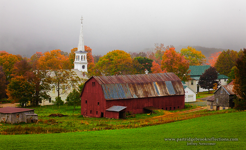
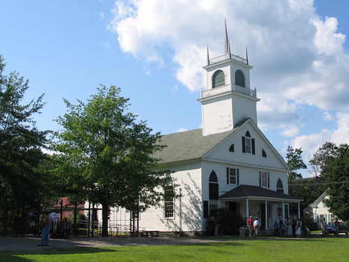
Another View of the Church
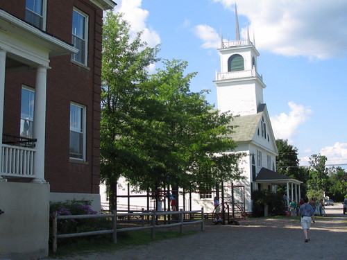
From the Green
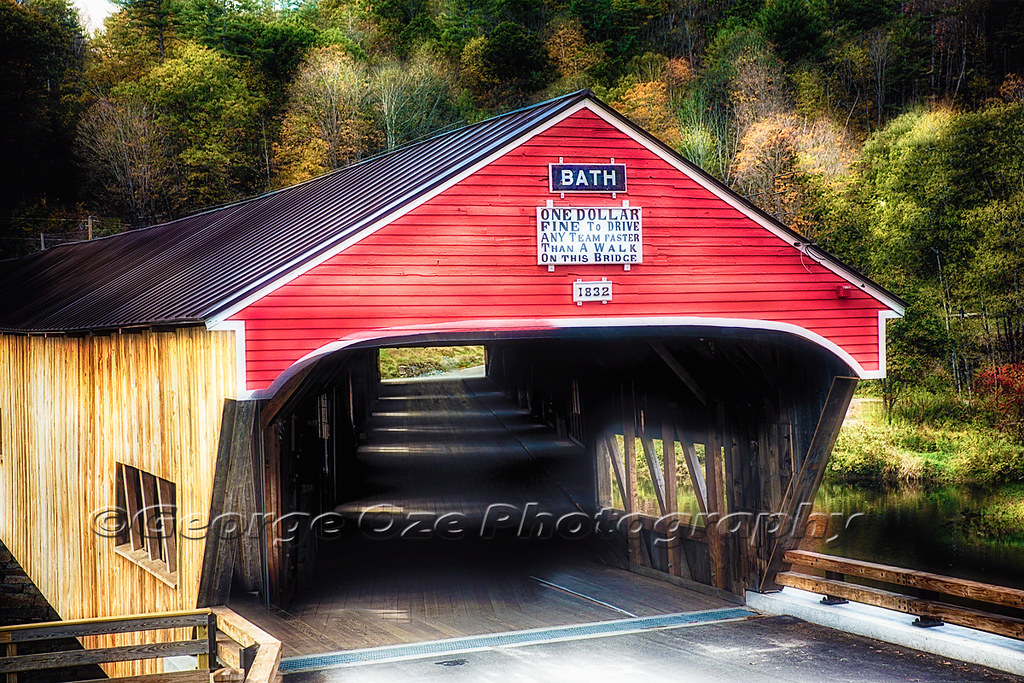
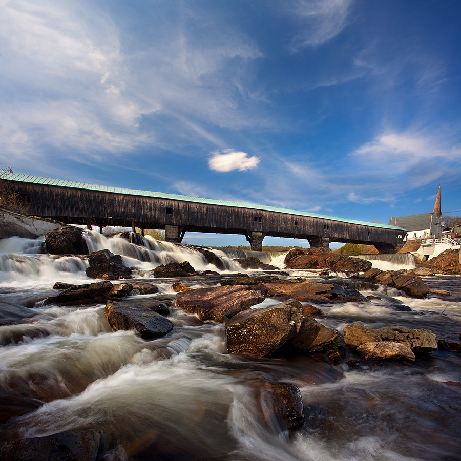
Bath Covered Bridge Entrance View, Bath, New Hampshire
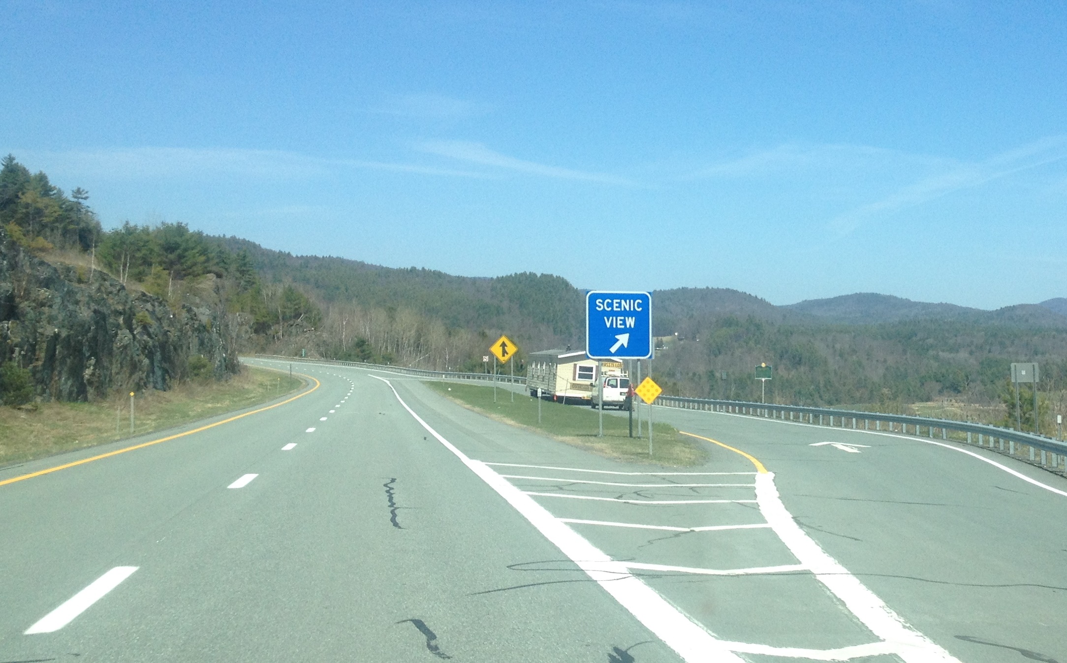
91NB-Exit18-19
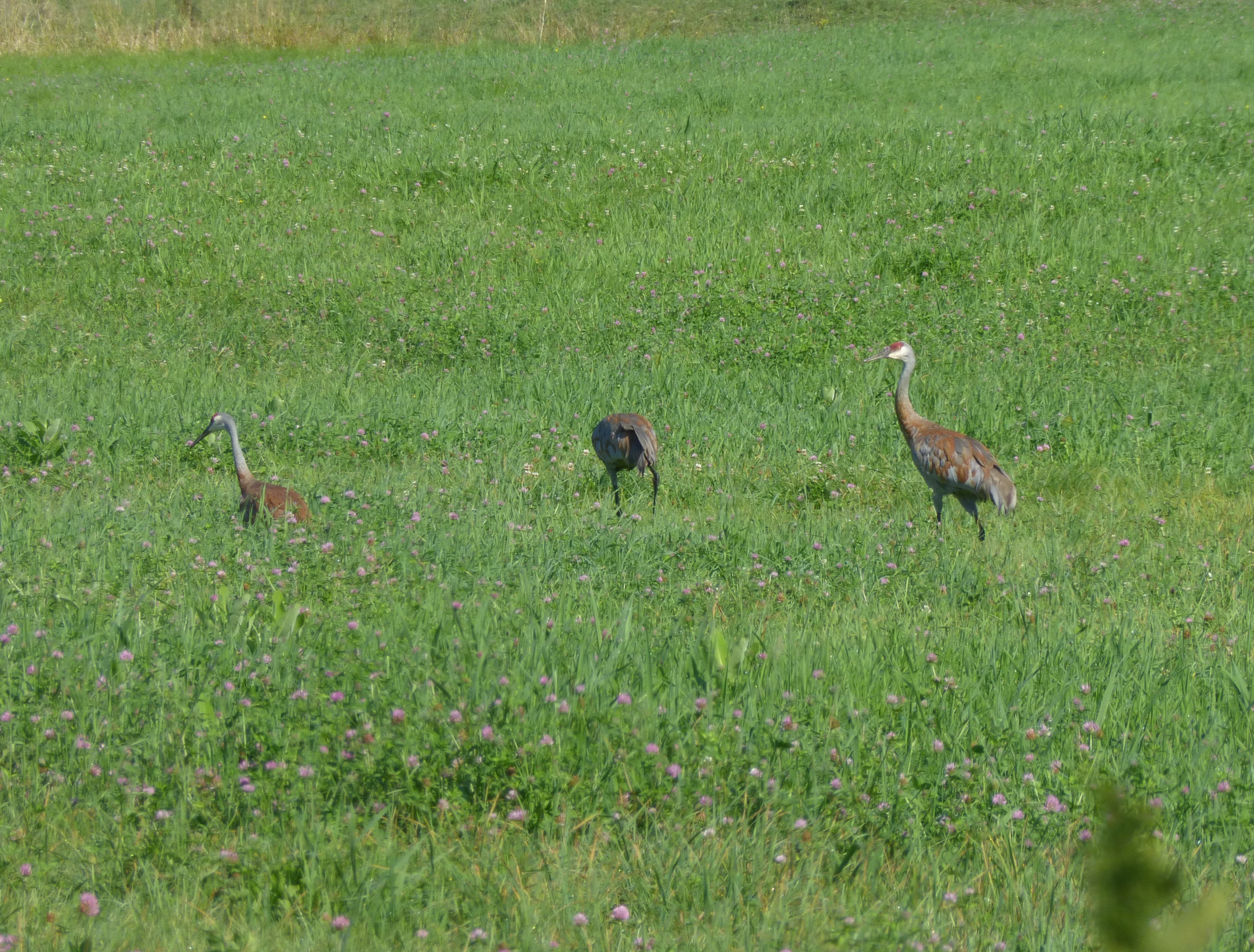
Sandhill Cranes!
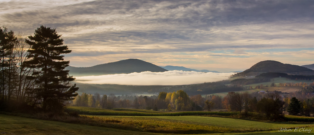
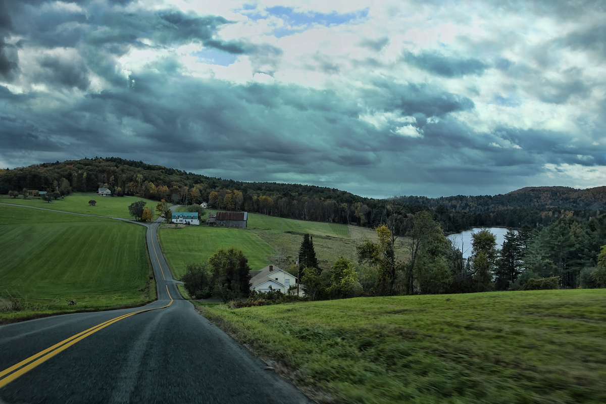
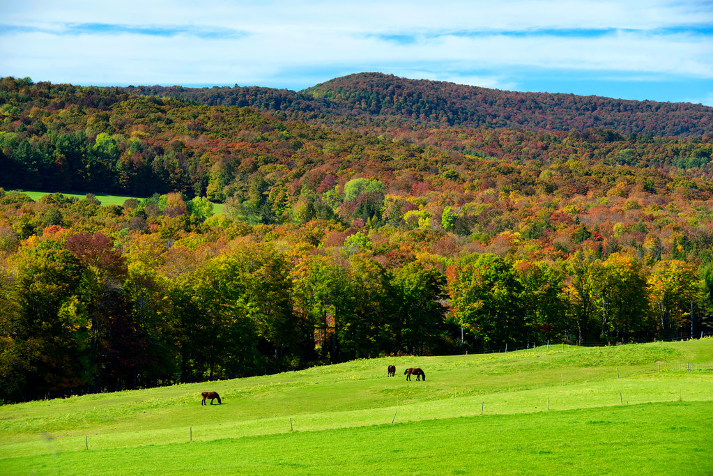
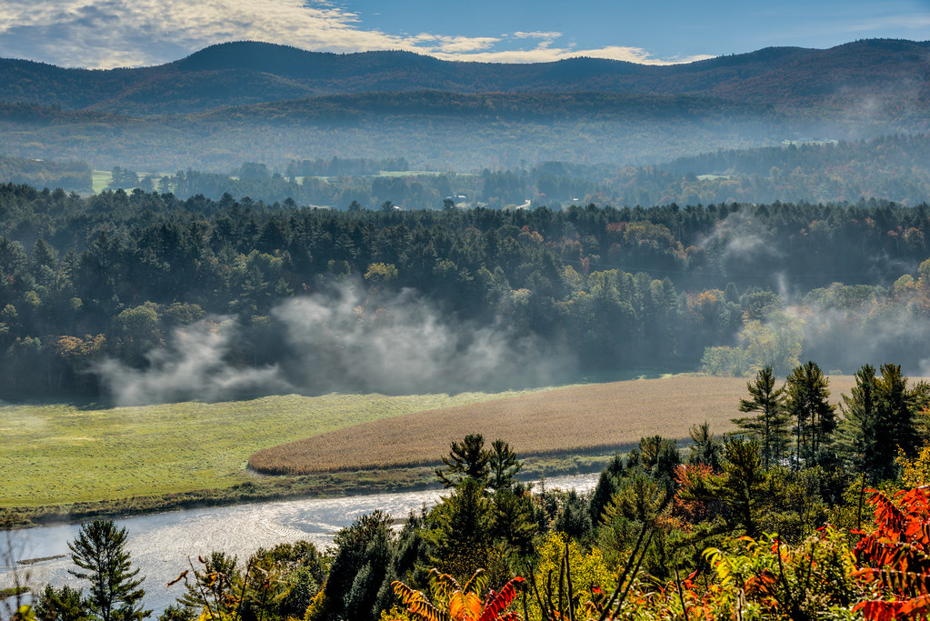
The Valley
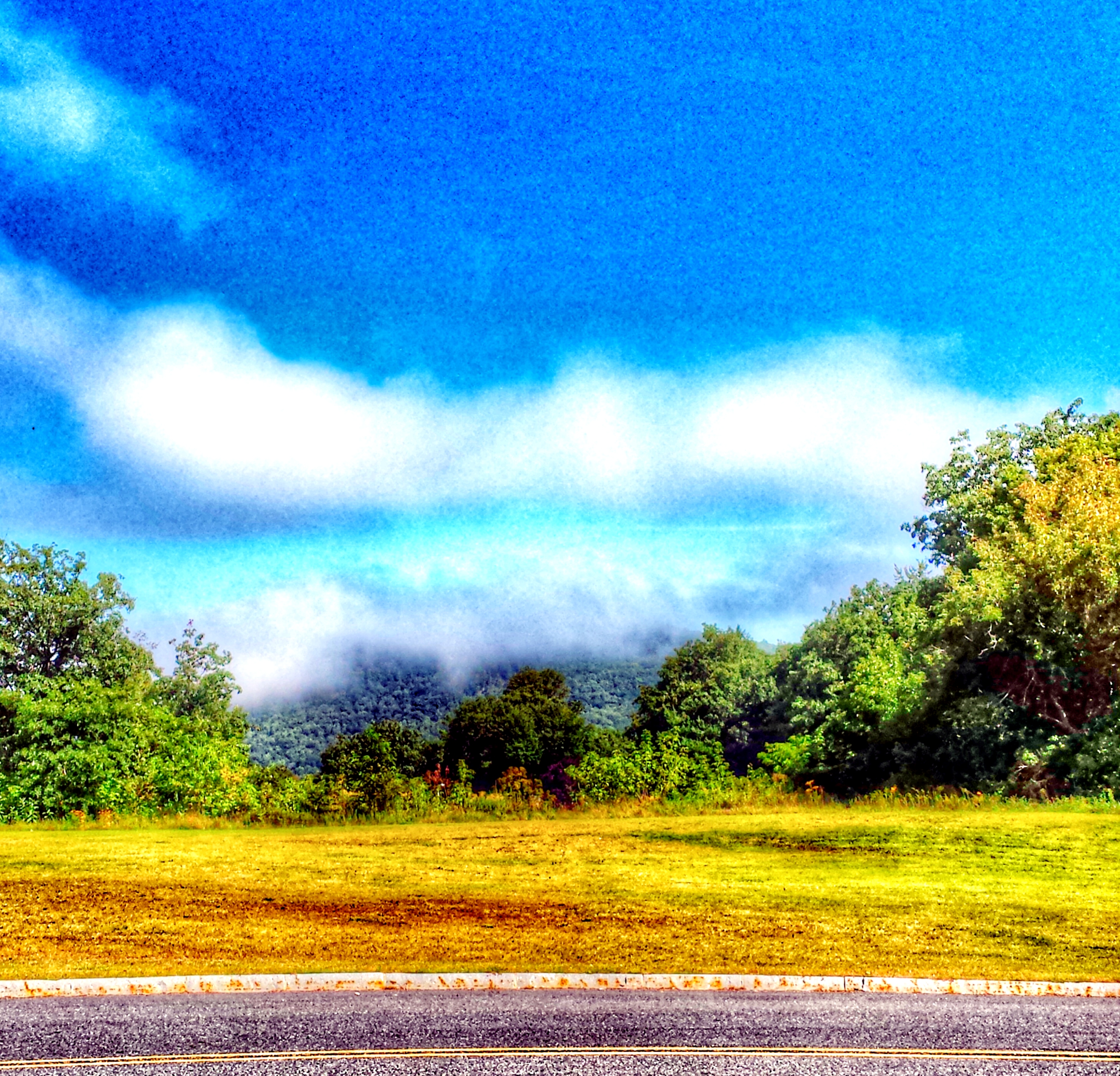
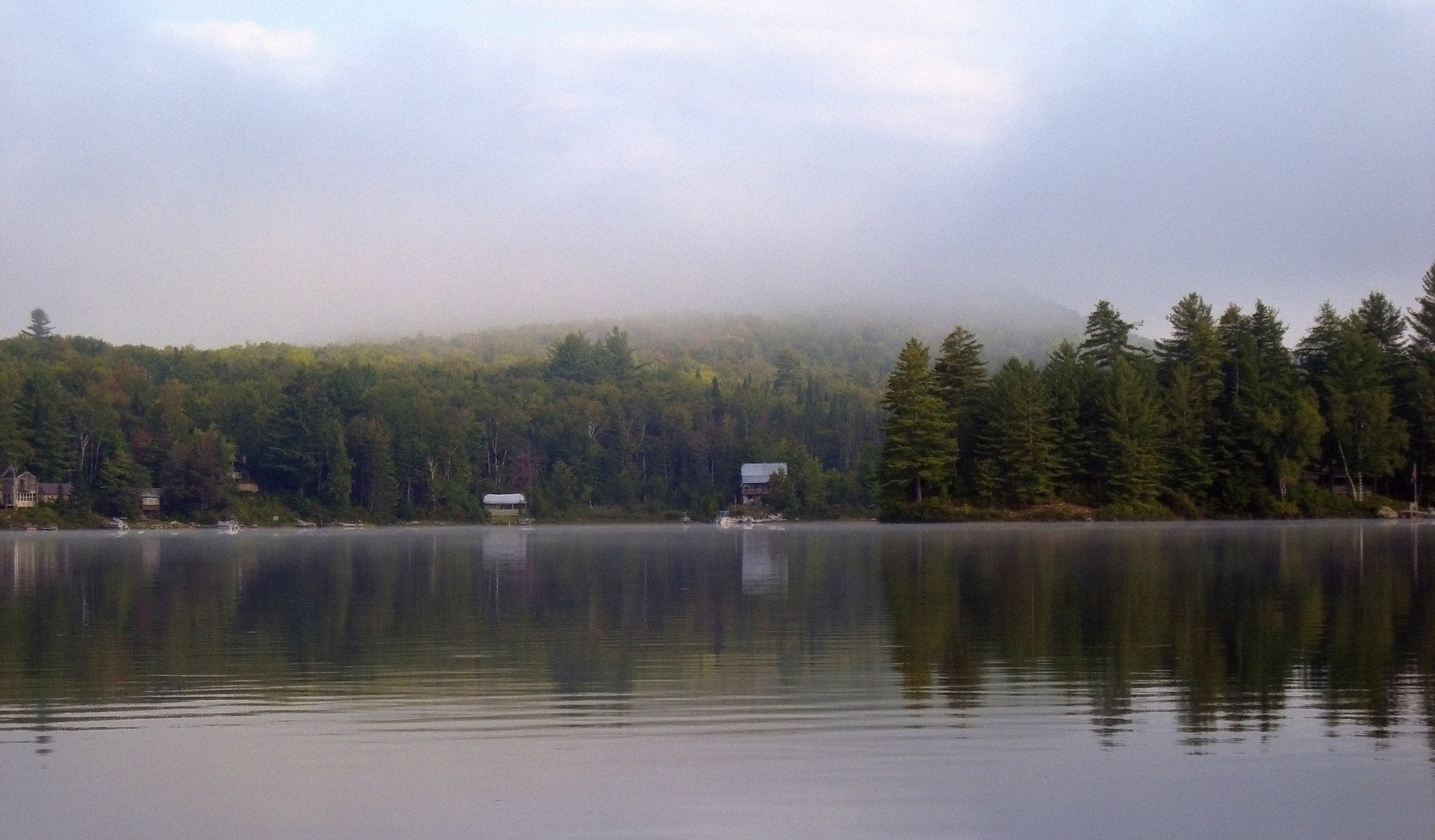
"LOW CLOUDS" Vermont
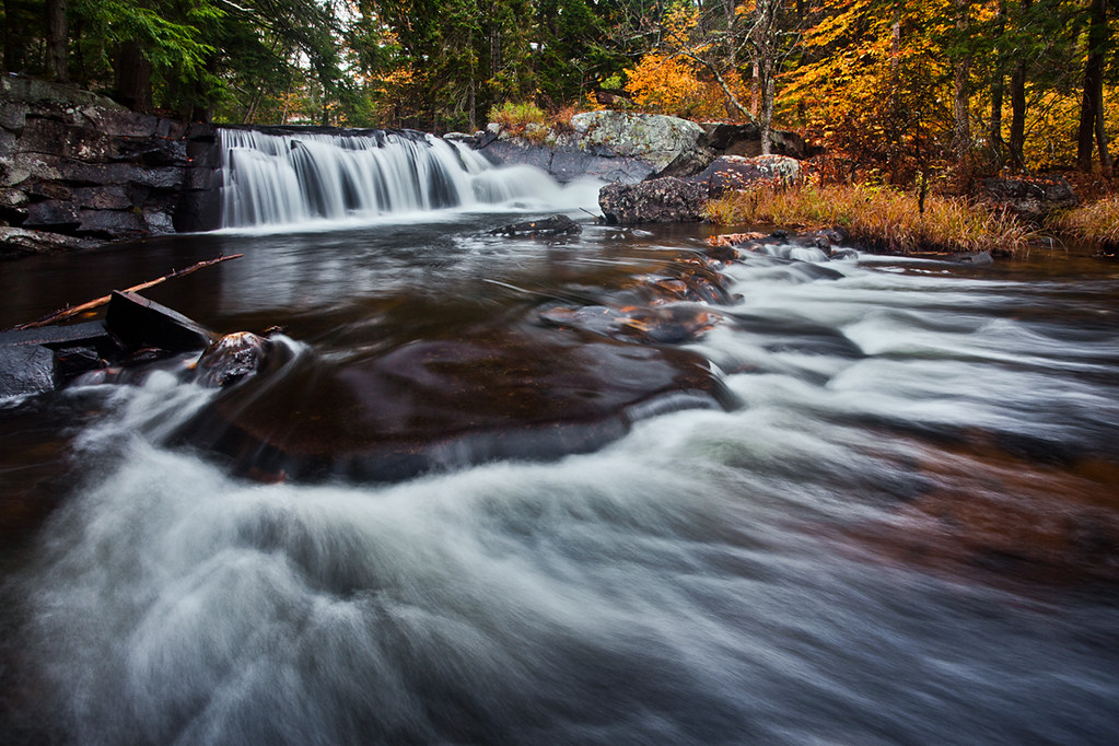
Little Unnamed Waterfall in Vermont
t42_908420151012_DSC5621.jpg
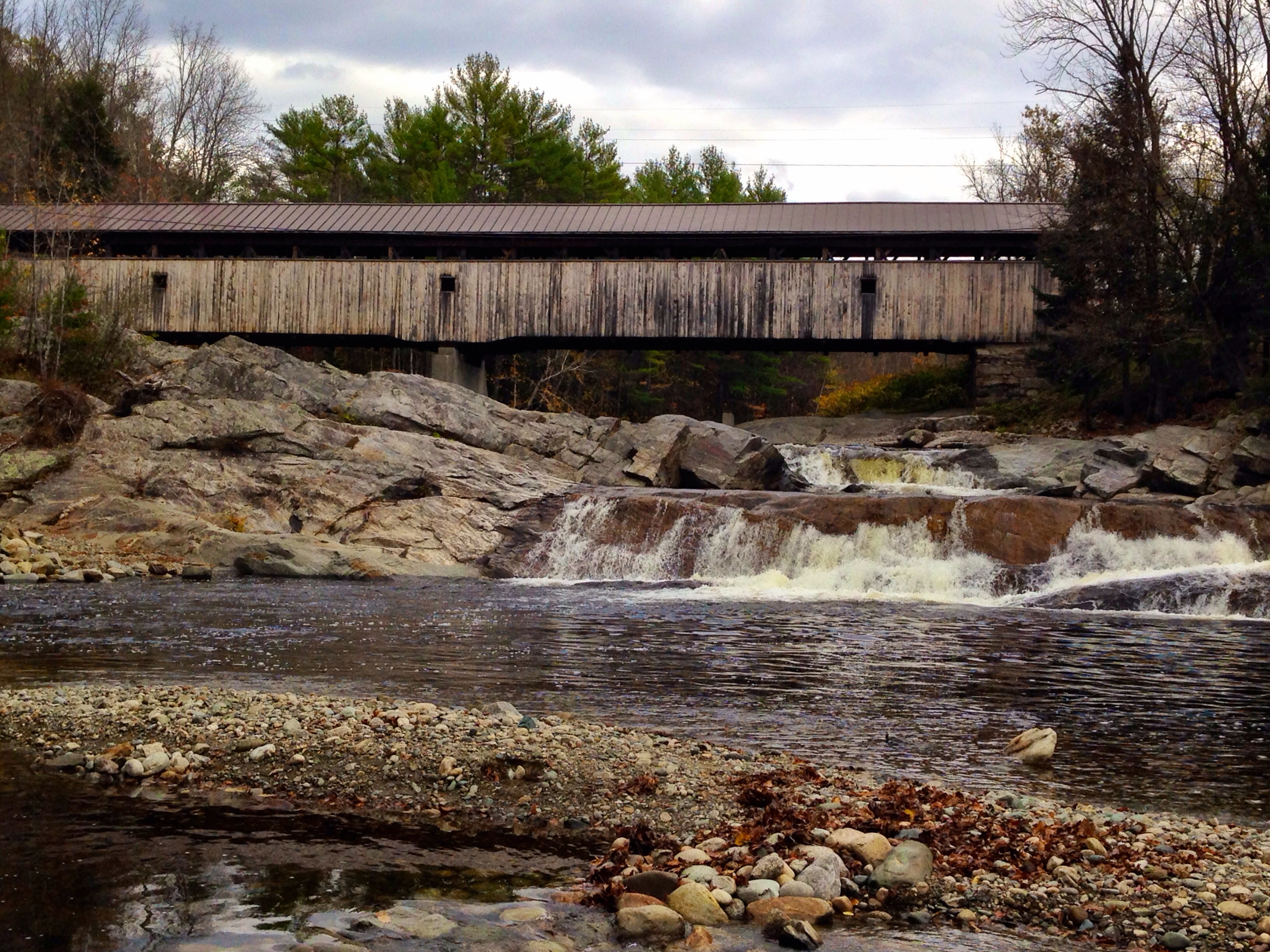
Covered Bridge

Peacham, Vermont
Vermont - New Hampshire Border 2.jpg

Ruby Throated Hummingbird
Summer Sunset

Comerford Dam on Vermont - New Hampshire Border

Lake Groton Dam

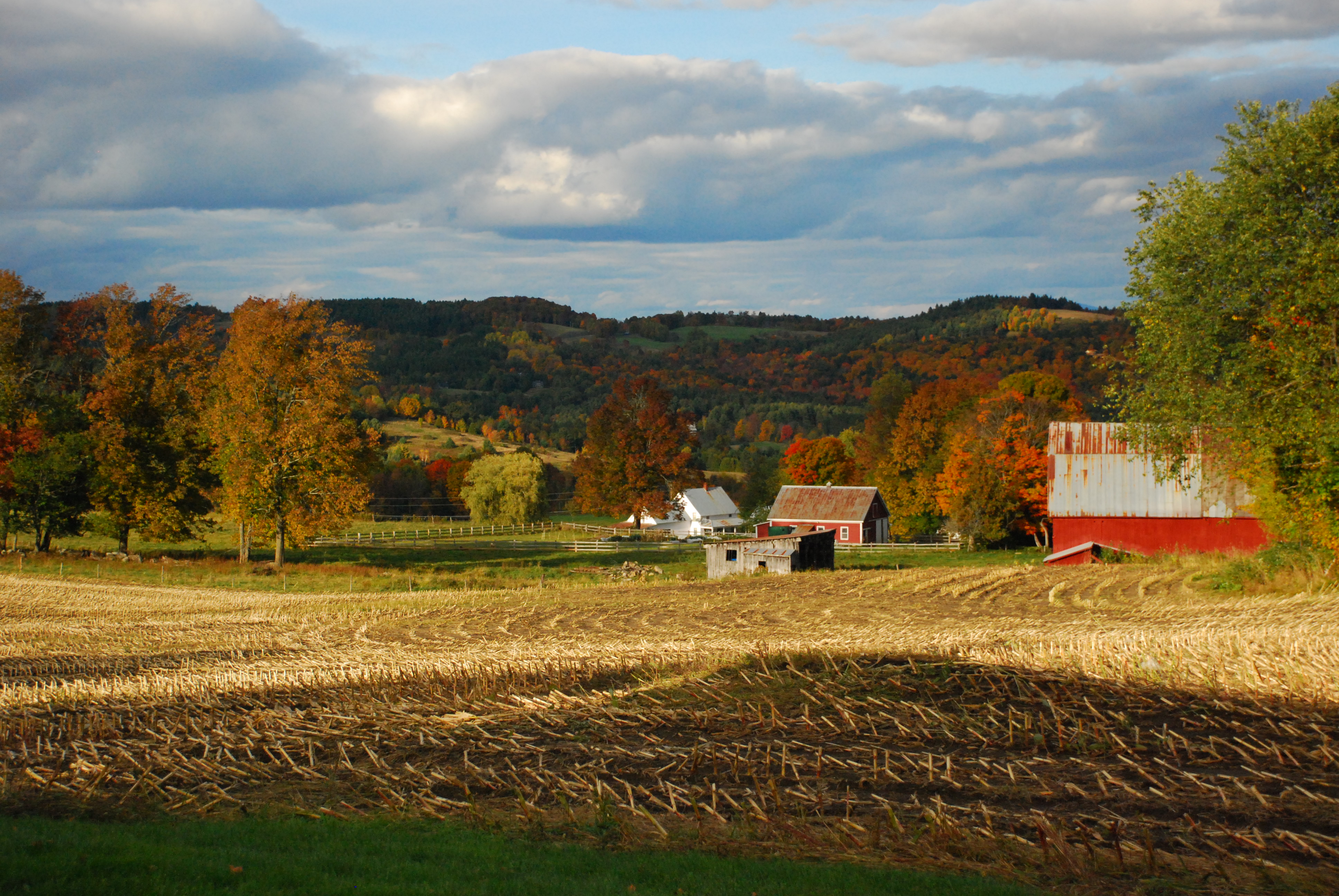
East Corinth, Vermont
Vermont - New Hampshire Border 1.jpg
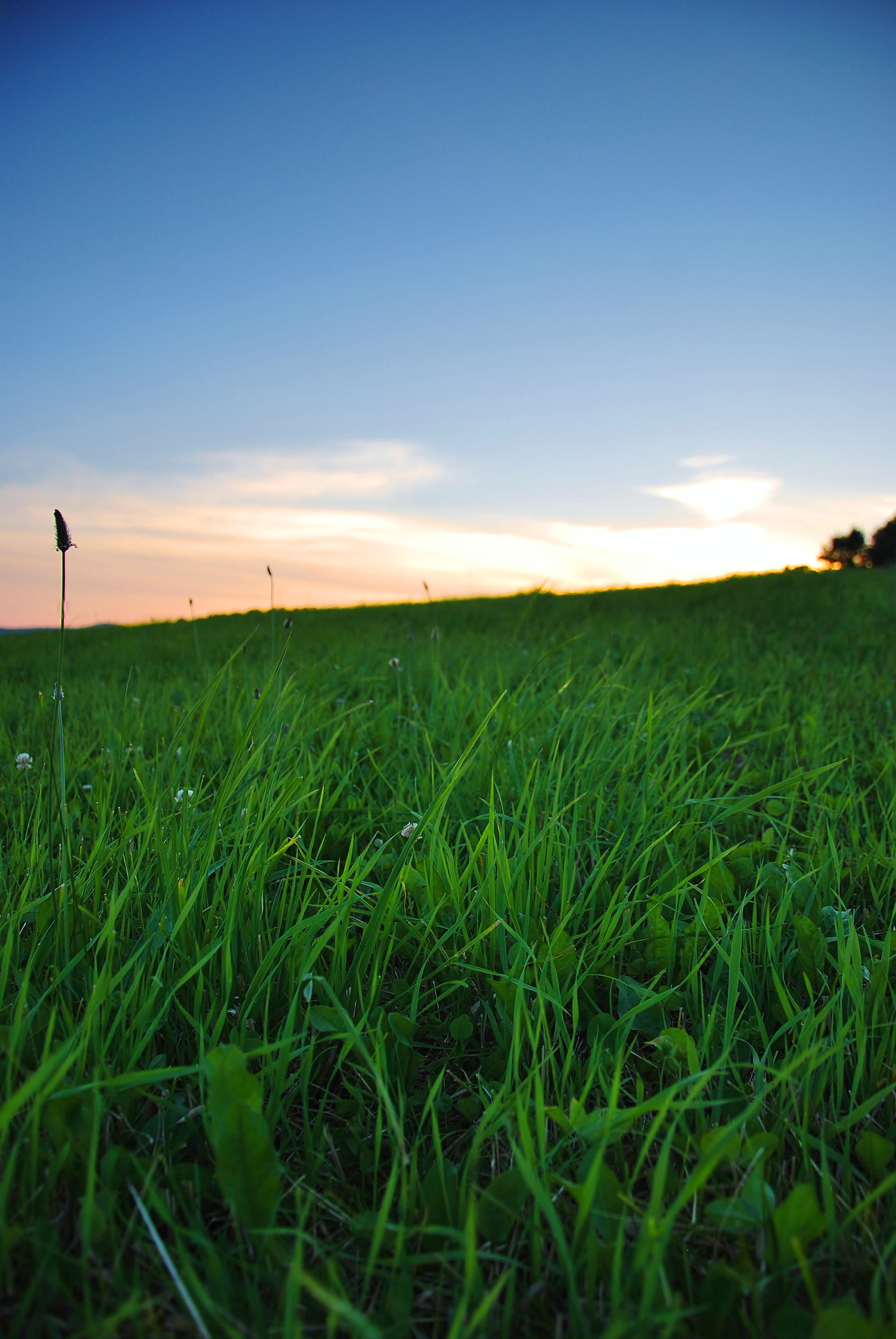
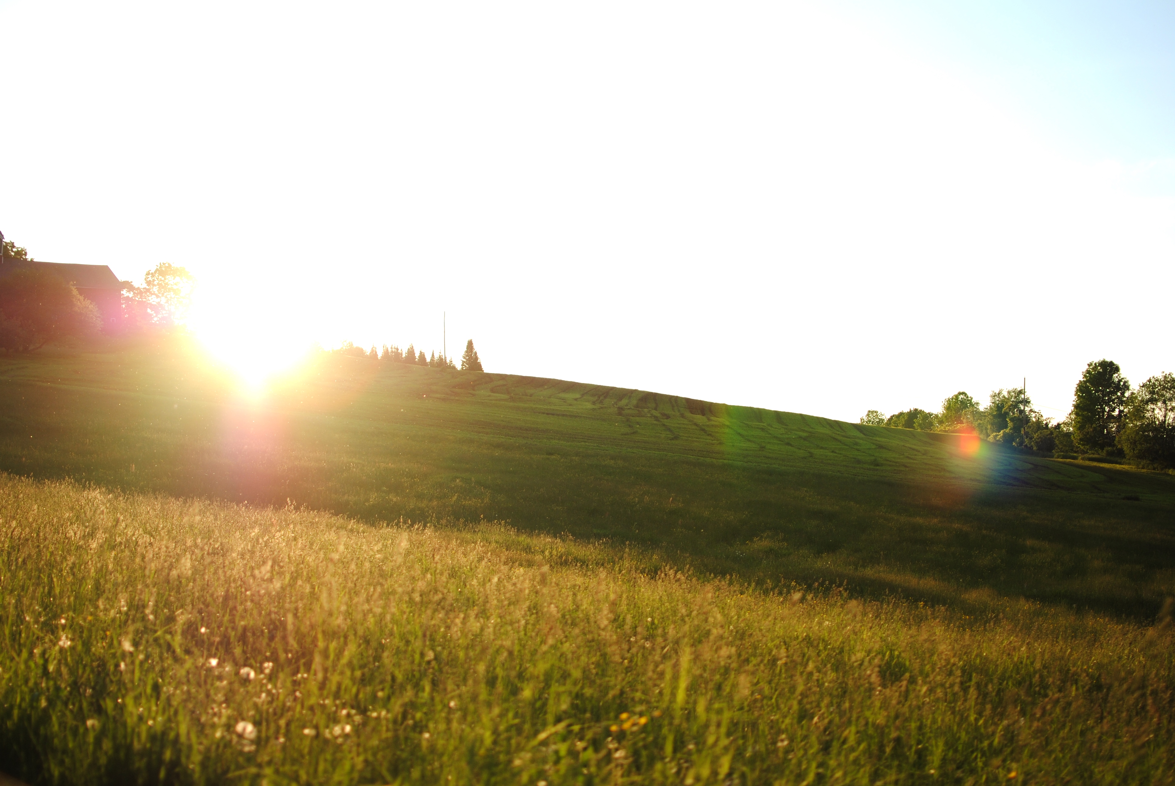
Summer Evenings

Sunset tonight made the sky look like it was on fire!
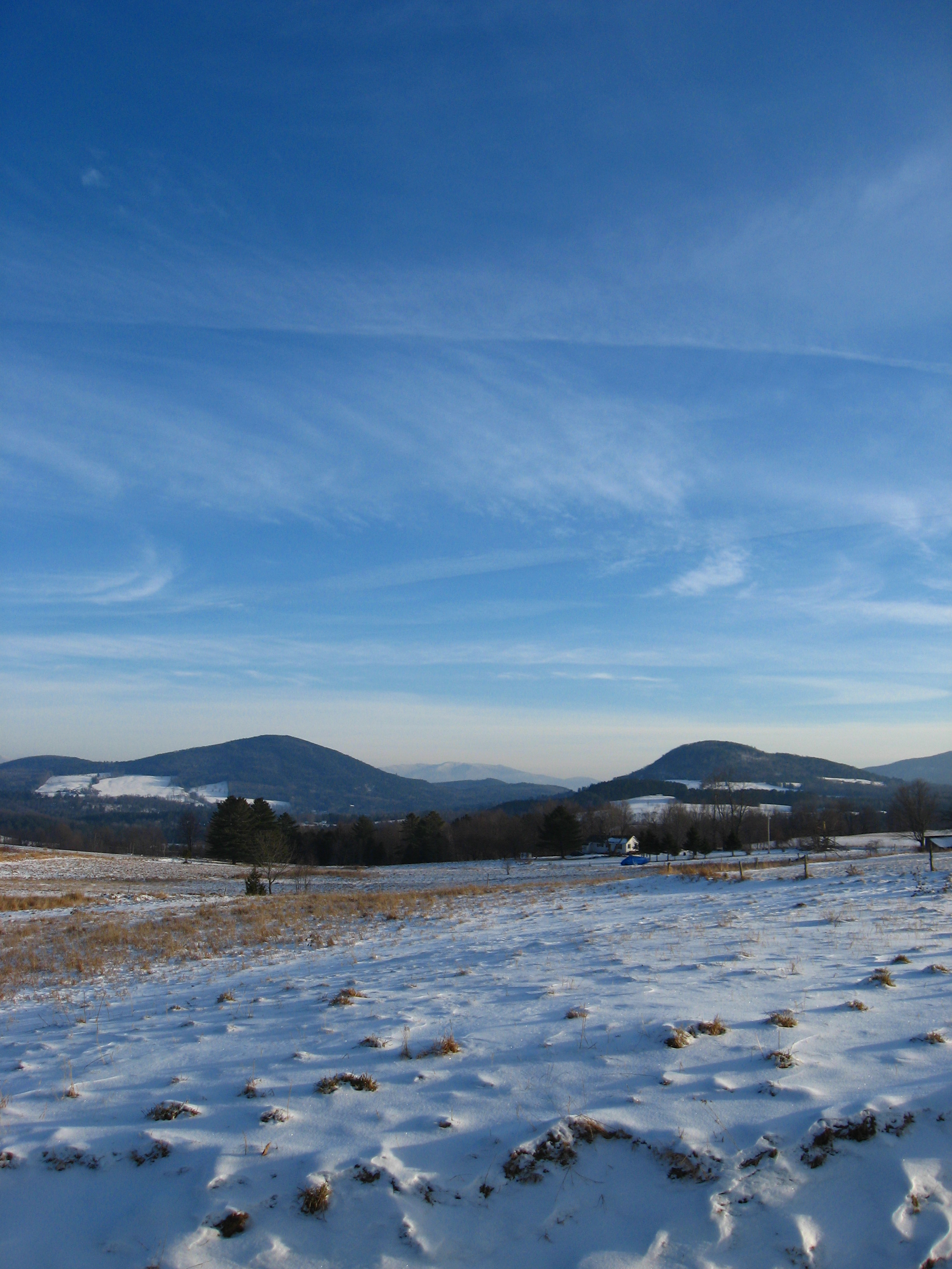
Vermont Winter
Morning fog over Ricker Pond
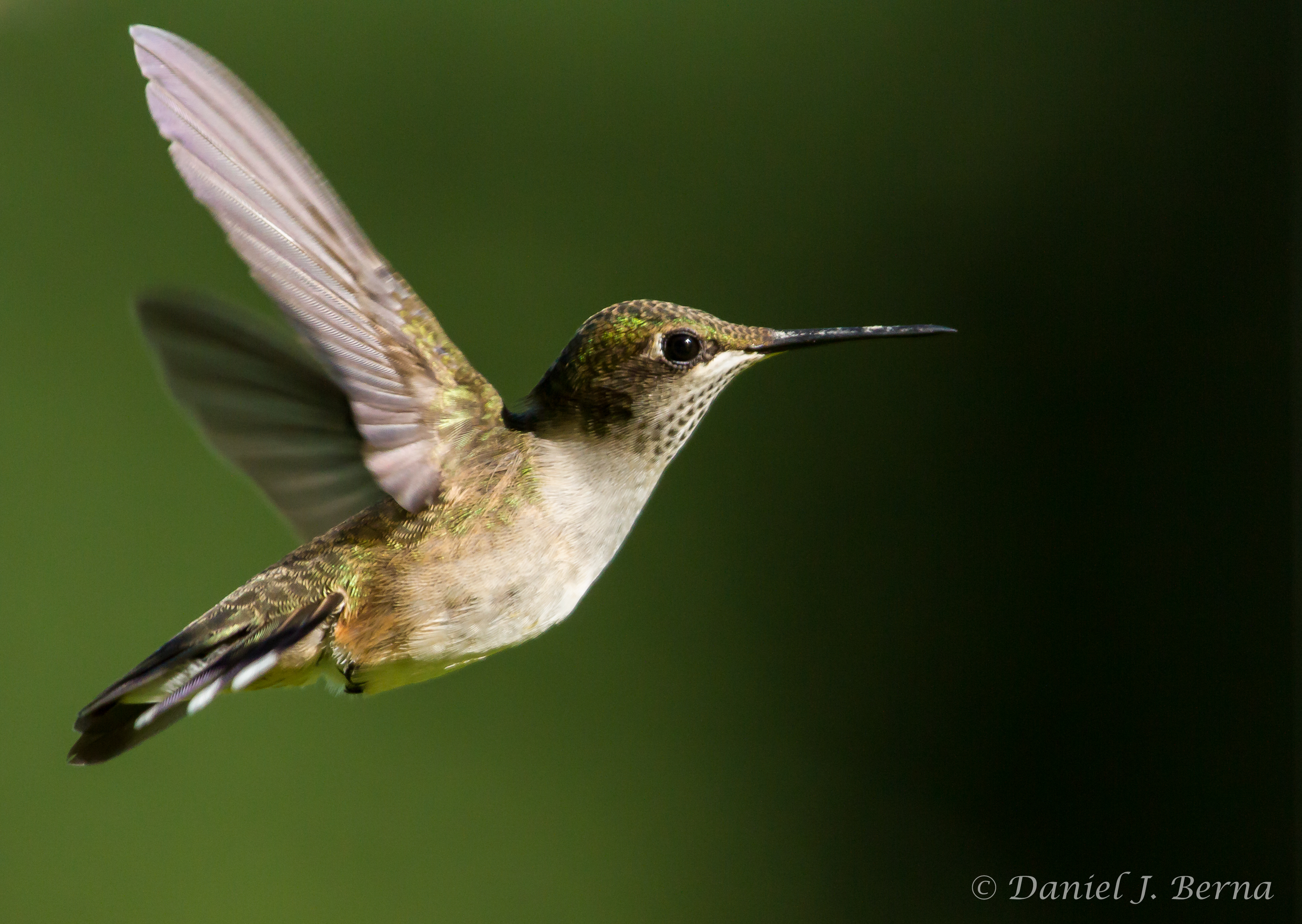
Ruby Throated Hummingbird
MulitView Fall Tips SMT

Black Spruce (Picea marianna)
Topographic Map of South Ryegate, Ryegate, VT, USA
Find elevation by address:

Places in South Ryegate, Ryegate, VT, USA:
Places near South Ryegate, Ryegate, VT, USA:
8 Church St, South Ryegate, VT, USA
52 Stoneshed Rd
40 Jennings Ln
258 Vaughan Rd
18 S Bayley Hazen Rd, Ryegate, VT, USA
754 Cochran Dr
874 Glover Rd
Ryegate
158 Railroad St
186 Hillside Dr
1334 Scott Hwy #3
779 Symes Pond Rd
Newbury
952 Minard Hill Rd
Mountain View Drive
13 Mountain View Dr
2078 Glover Rd
Newbury Center Rd, Newbury, VT, USA
219 Longmoore Dr
24 Seldom Seen Farm Rd
Recent Searches:
- Elevation of Norfolk, NY, USA
- Elevation of - San Marcos Pass Rd, Santa Barbara, CA, USA
- Elevation of th Pl SE, Issaquah, WA, USA
- Elevation of 82- D Rd, Captain Cook, HI, USA
- Elevation of Harlow CM20 2PR, UK
- Elevation of Shenyang Agricultural University, Dong Ling Lu, Shen He Qu, Shen Yang Shi, Liao Ning Sheng, China
- Elevation of Alpha Dr, Melbourne, FL, USA
- Elevation of Hiroshima University, 1-chōme-3-2 Kagamiyama, Higashihiroshima, Hiroshima -, Japan
- Elevation of Bernina Dr, Lake Arrowhead, CA, USA
- Elevation of N 82nd Pl, Mesa, AZ, USA