Elevation of Vaughan Rd, South Ryegate, VT, USA
Location: United States > Vermont > Caledonia County > Ryegate > South Ryegate >
Longitude: -72.143406
Latitude: 44.1623794
Elevation: 382m / 1253feet
Barometric Pressure: 97KPa
Elevation Map:
Satellite Map:
Related Photos:
Bath, NH
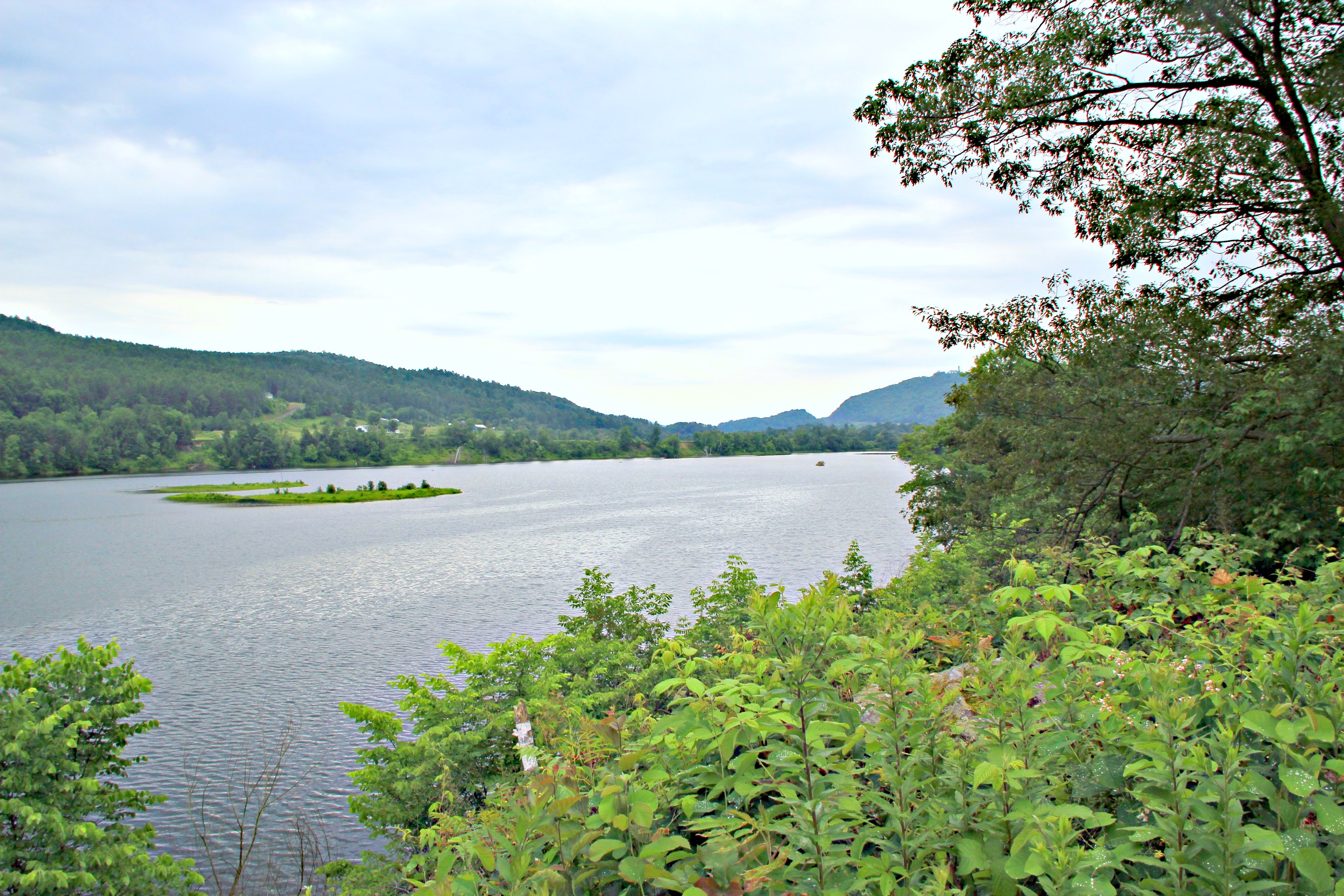
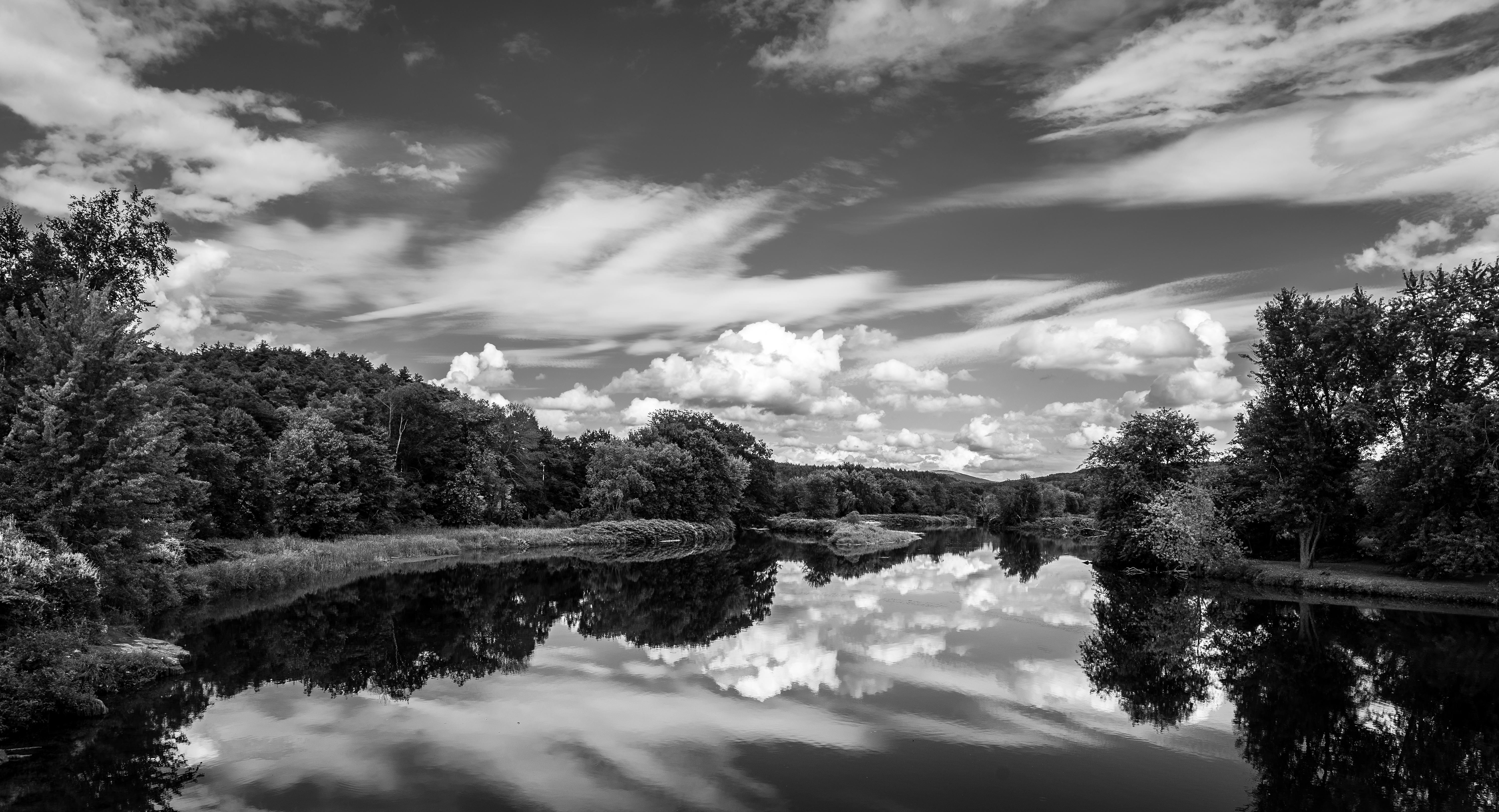
CT river view from the B & B
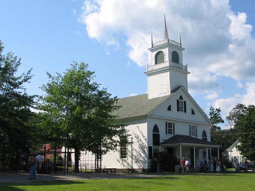
From the Green
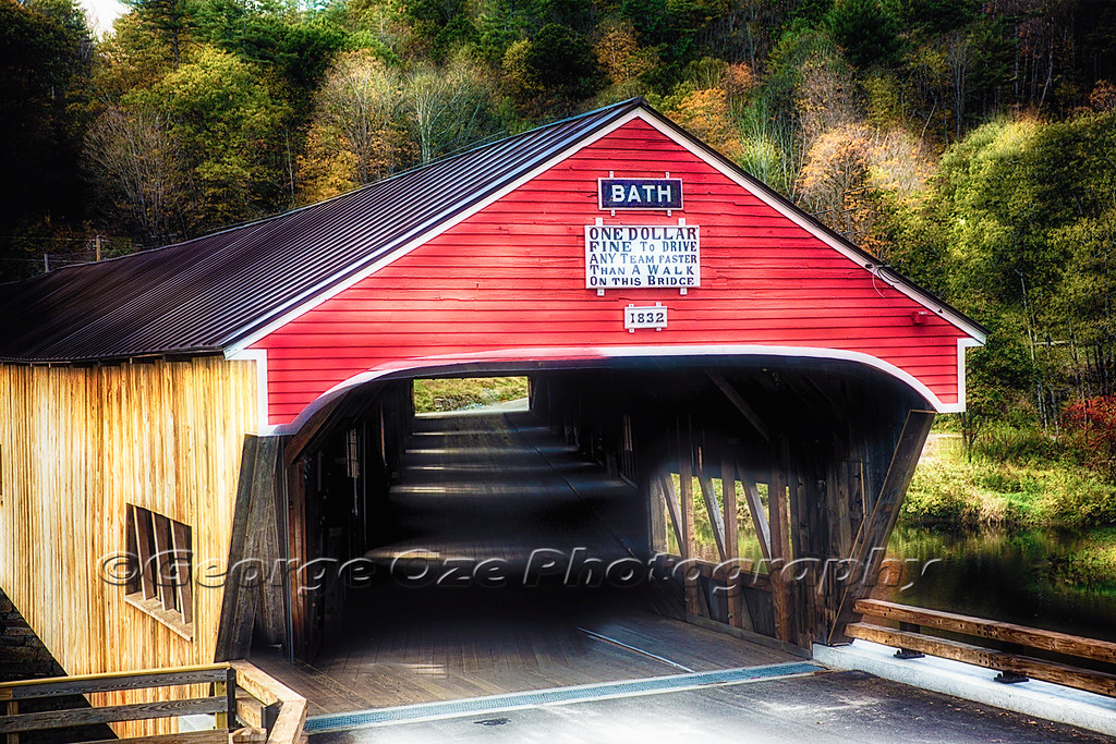
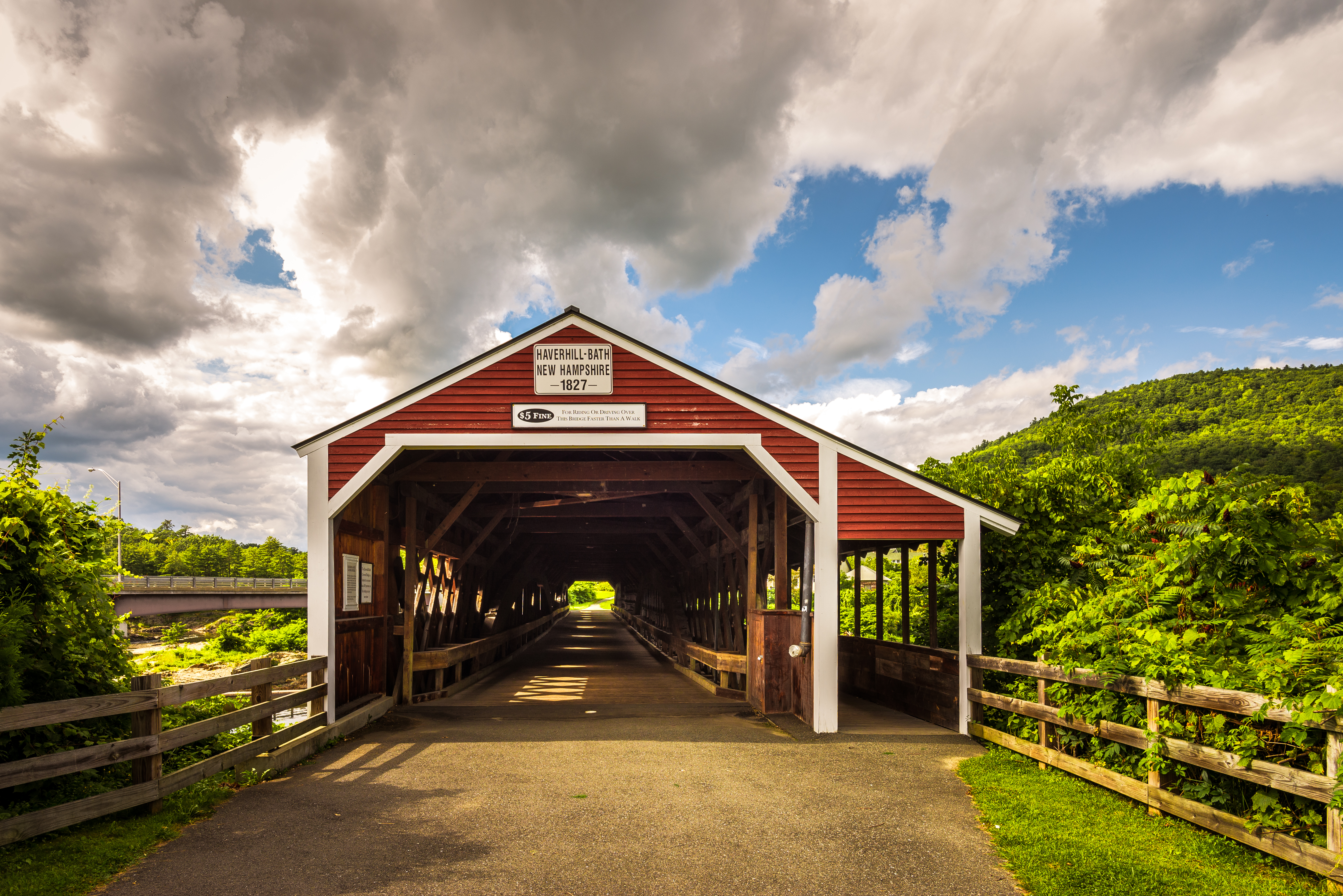
Bath Covered Bridge Entrance View, Bath, New Hampshire
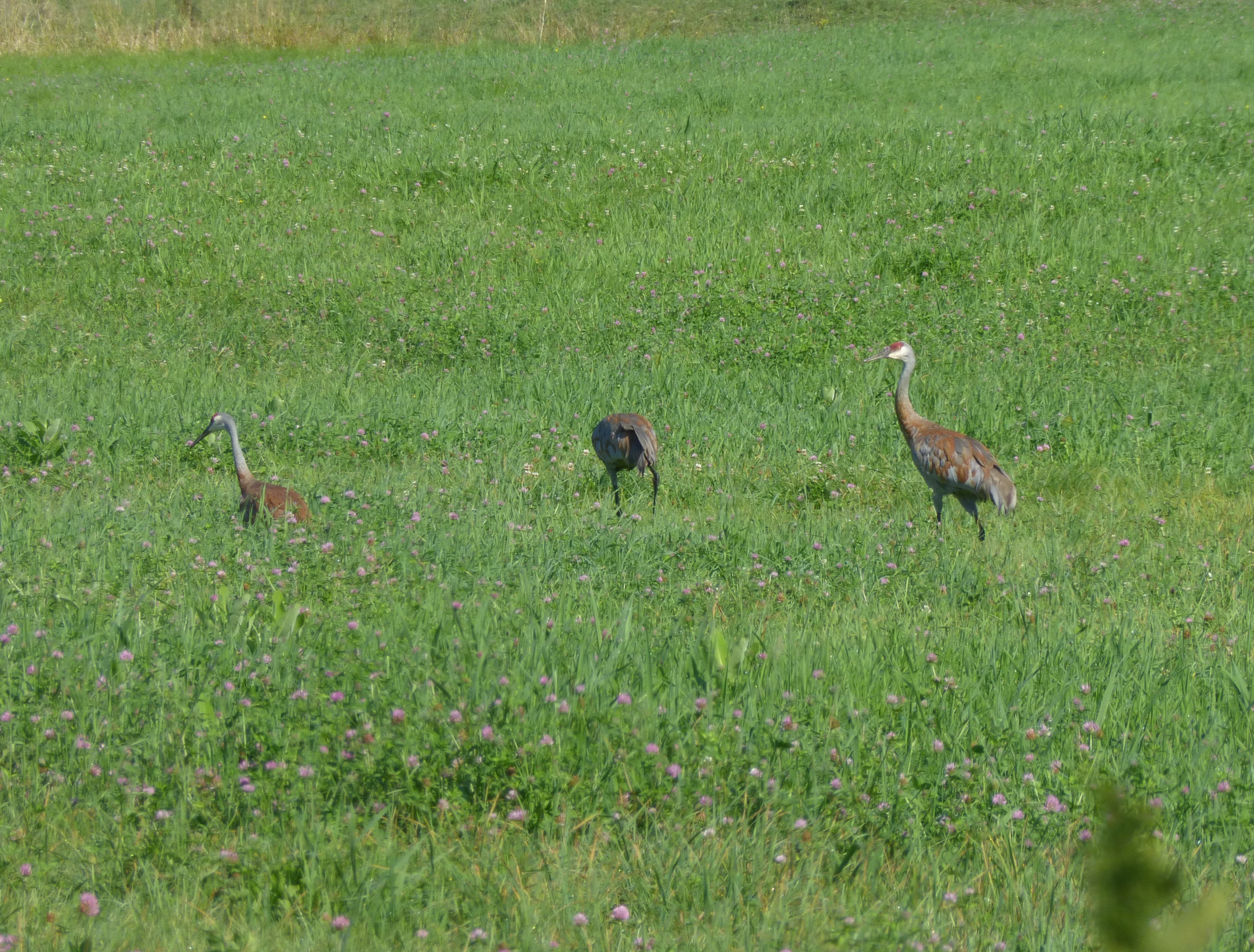
Sandhill Cranes!
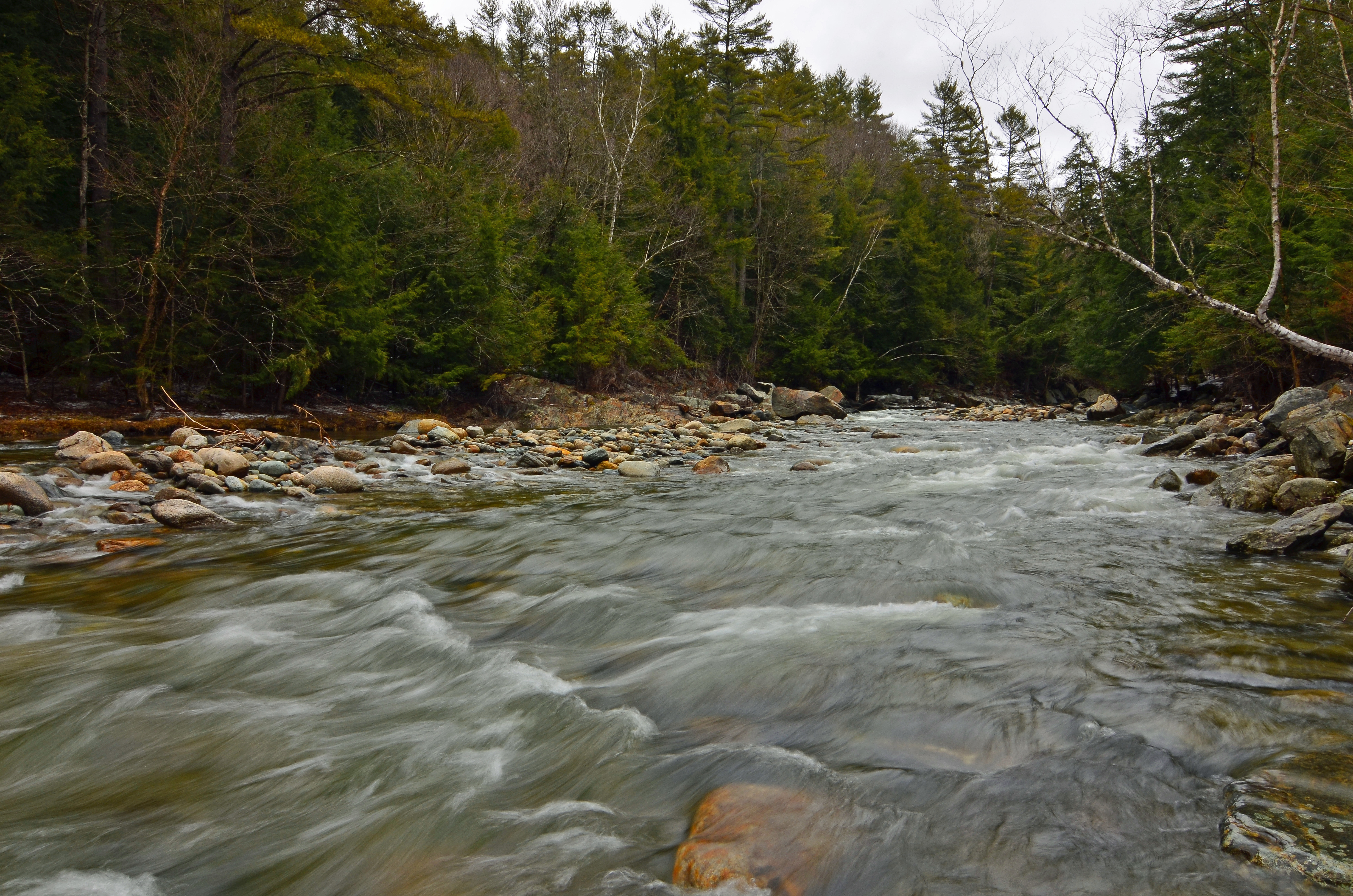
Ammonoosuc River

Evening at East Corinth, Vermont

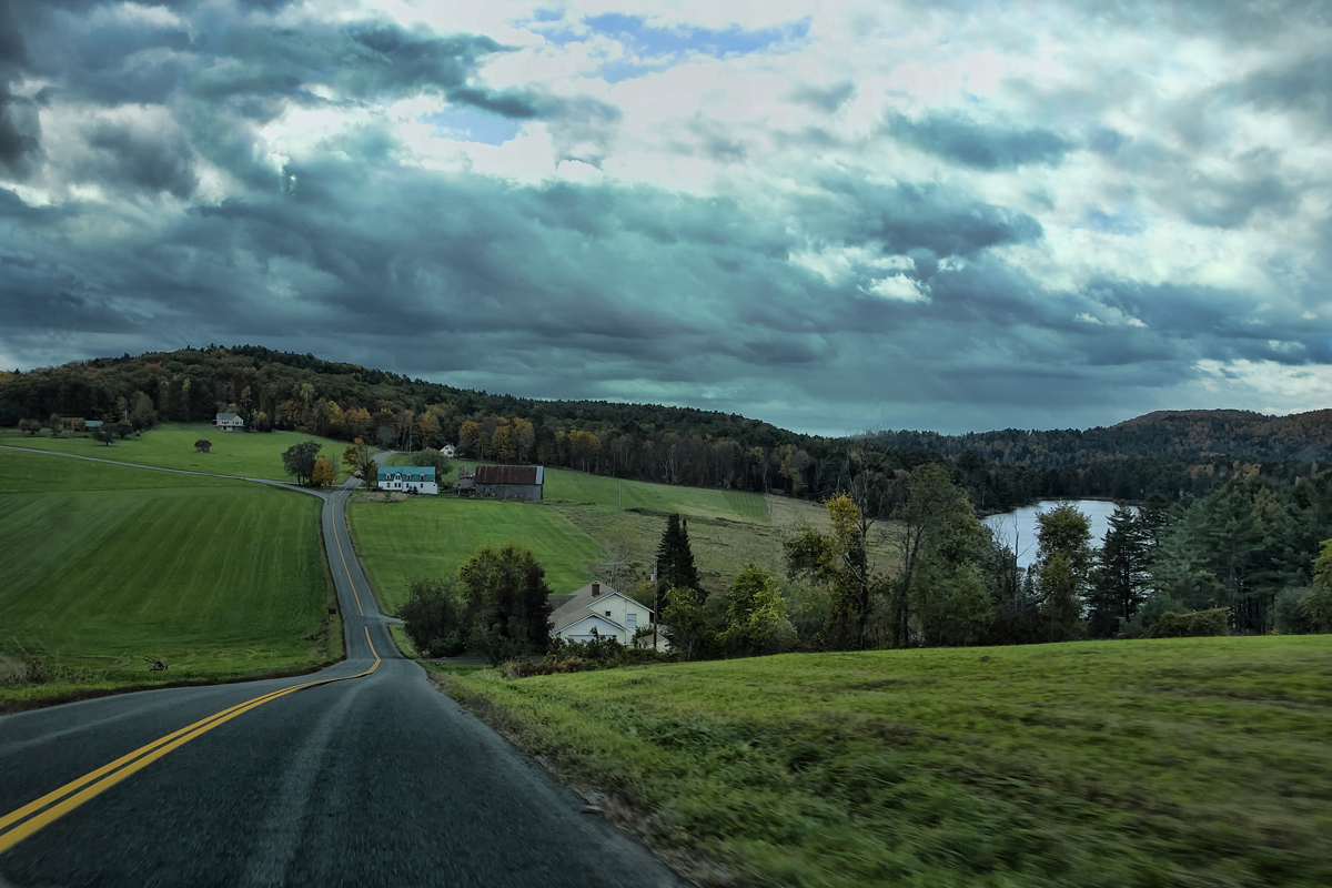
Bogie Mountain Farm

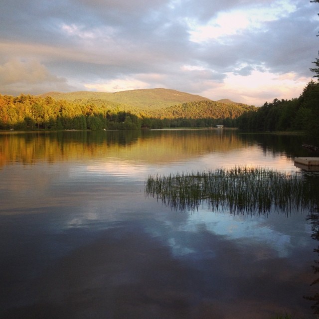
Lake Groton, Vermont.
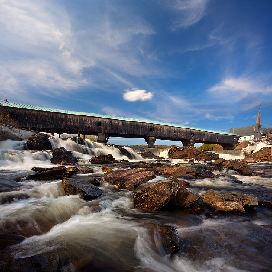
Haverhill-Bath Covered Bridge
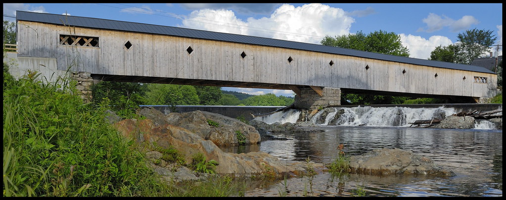
Covered Bridge

Bogie Mountain Farm, Barnet, Vermont
Bath-Haverhill covered Bridge
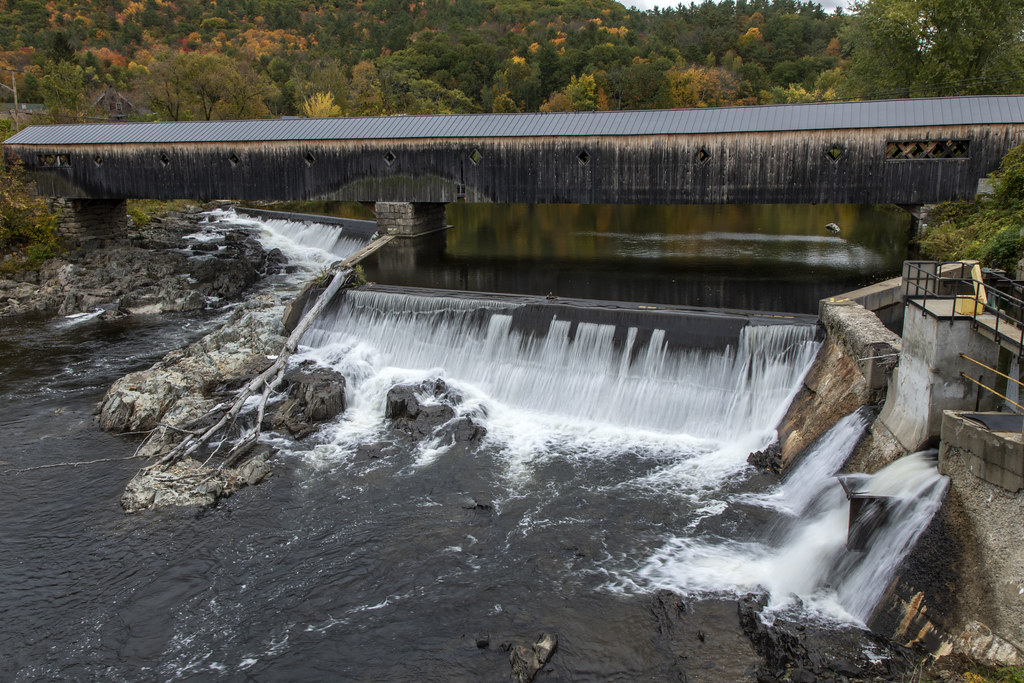
Bath-Haverhill Covered Bridge

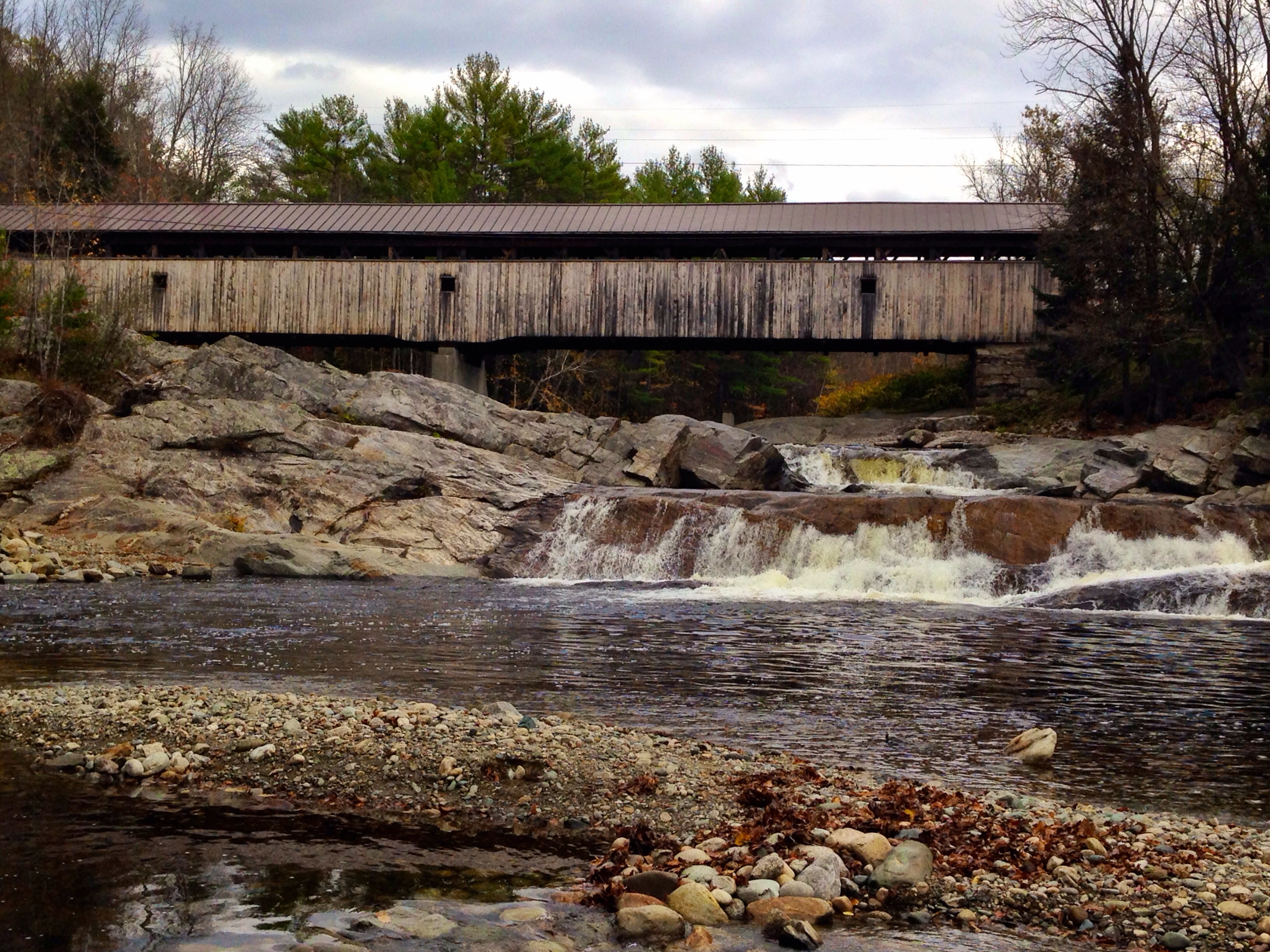
Swiftwater Covered Bridge

2016-11-27_08-44-44
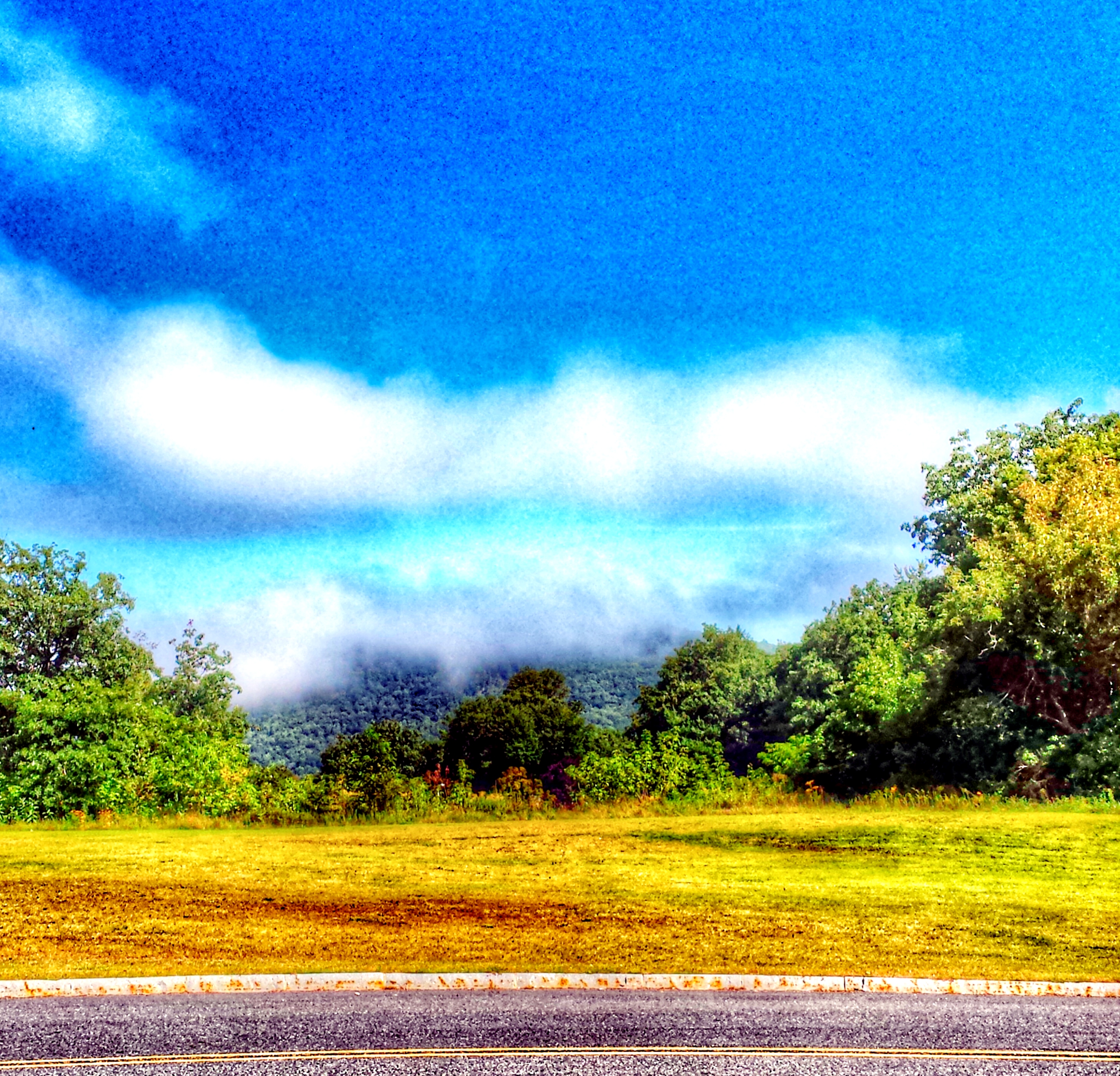
"LOW CLOUDS" Vermont
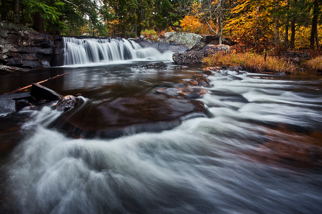
Little Unnamed Waterfall in Vermont

East Corinth, Vermont
Borders of NH
My favorite fishing spot

Lake Groton
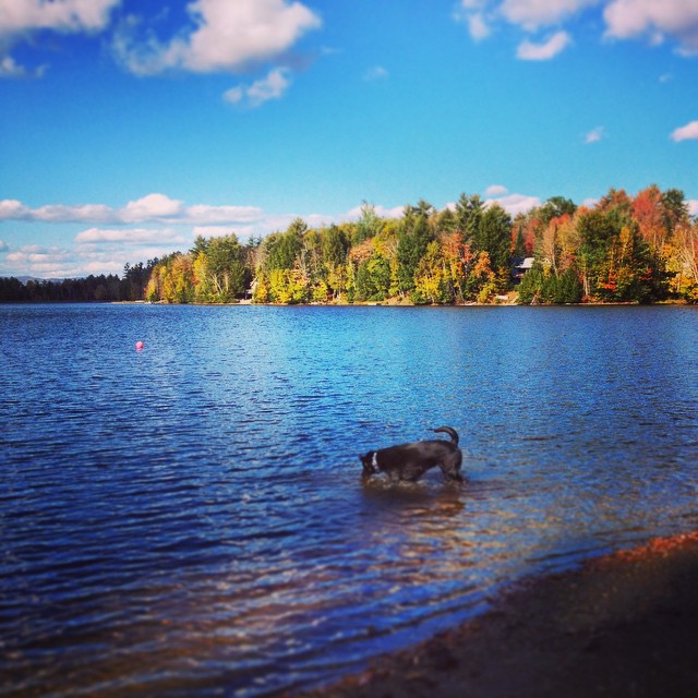
Andy is always ready for a swim! #fall
White mountains

Lối Thu
Topographic Map of Vaughan Rd, South Ryegate, VT, USA
Find elevation by address:

Places near Vaughan Rd, South Ryegate, VT, USA:
40 Jennings Ln
52 Stoneshed Rd
8 Church St, South Ryegate, VT, USA
South Ryegate
Newbury
Newbury Center Rd, Newbury, VT, USA
24 Seldom Seen Farm Rd
18 S Bayley Hazen Rd, Ryegate, VT, USA
8 Harts Crossroad
8 Harts Crossroad
8 Harts Crossroad
8 Harts Crossroad
8 Harts Crossroad
8 Harts Crossroad
8 Harts Rd
158 Railroad St
754 Cochran Dr
874 Glover Rd
1334 Scott Hwy #3
Mountain View Drive
Recent Searches:
- Elevation of Rojo Ct, Atascadero, CA, USA
- Elevation of Flagstaff Drive, Flagstaff Dr, North Carolina, USA
- Elevation of Avery Ln, Lakeland, FL, USA
- Elevation of Woolwine, VA, USA
- Elevation of Lumagwas Diversified Farmers Multi-Purpose Cooperative, Lumagwas, Adtuyon, RV32+MH7, Pangantucan, Bukidnon, Philippines
- Elevation of Homestead Ridge, New Braunfels, TX, USA
- Elevation of Orchard Road, Orchard Rd, Marlborough, NY, USA
- Elevation of 12 Hutchinson Woods Dr, Fletcher, NC, USA
- Elevation of Holloway Ave, San Francisco, CA, USA
- Elevation of Norfolk, NY, USA