Elevation of 40 Jennings Ln, Wells River, VT, USA
Location: United States > Vermont > Orange County > Newbury > Wells River >
Longitude: -72.123083
Latitude: 44.1711748
Elevation: 282m / 925feet
Barometric Pressure: 98KPa
Elevation Map:
Satellite Map:
Related Photos:
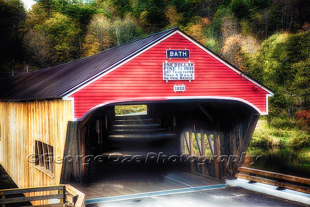
Bath Covered Bridge Entrance View, Bath, New Hampshire
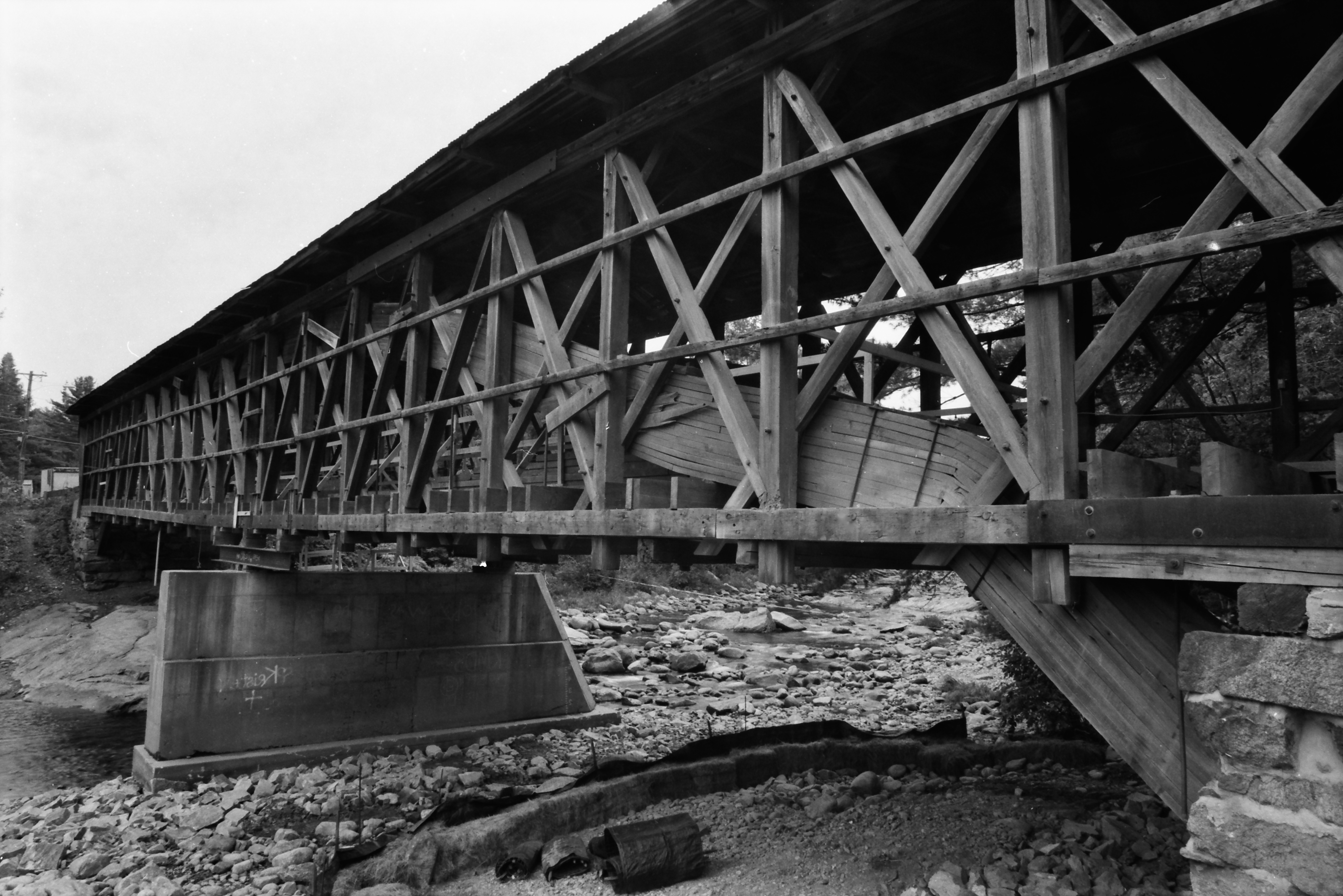
Broken Bridge
Bath, NH

Looking through the door, from the front desk at Karme Choling
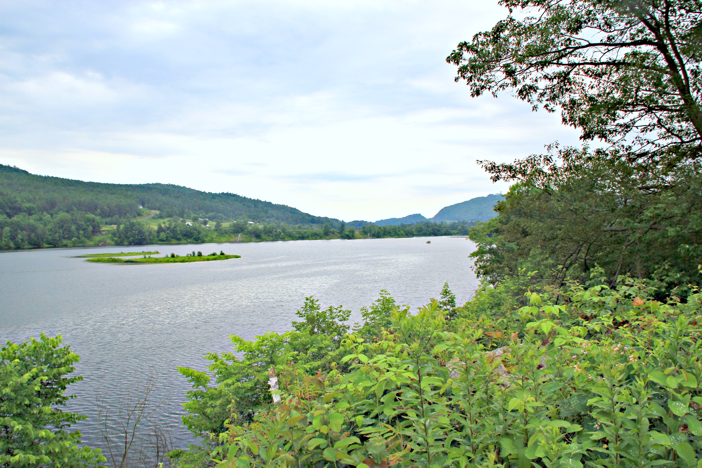
CT river view from the B & B
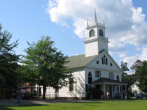
From the Green
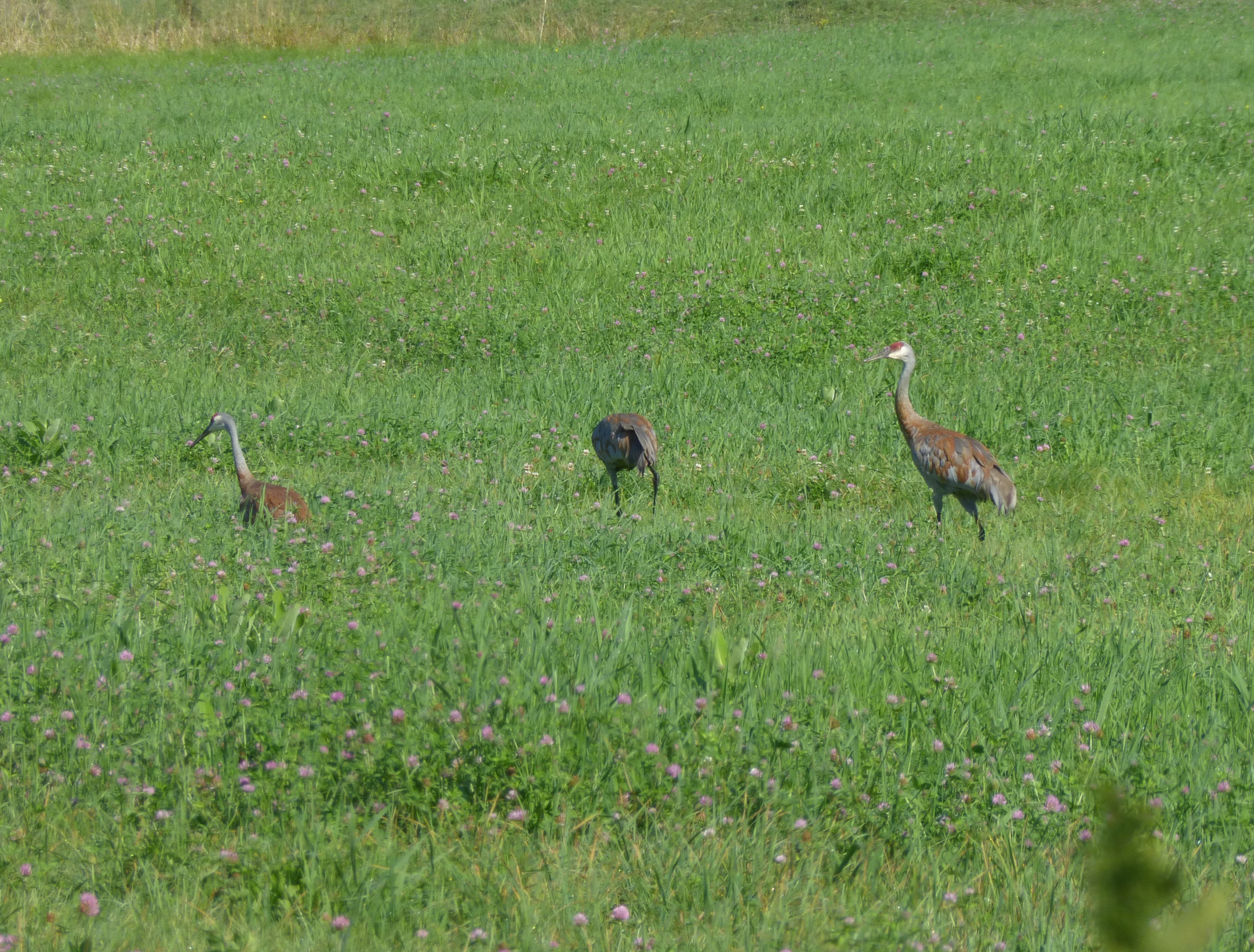
Sandhill Cranes!
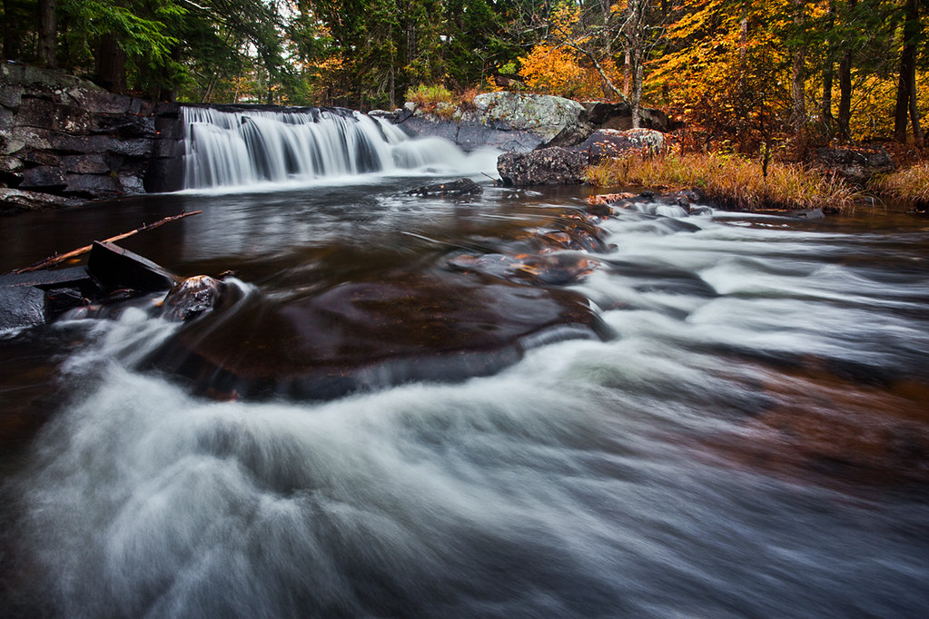
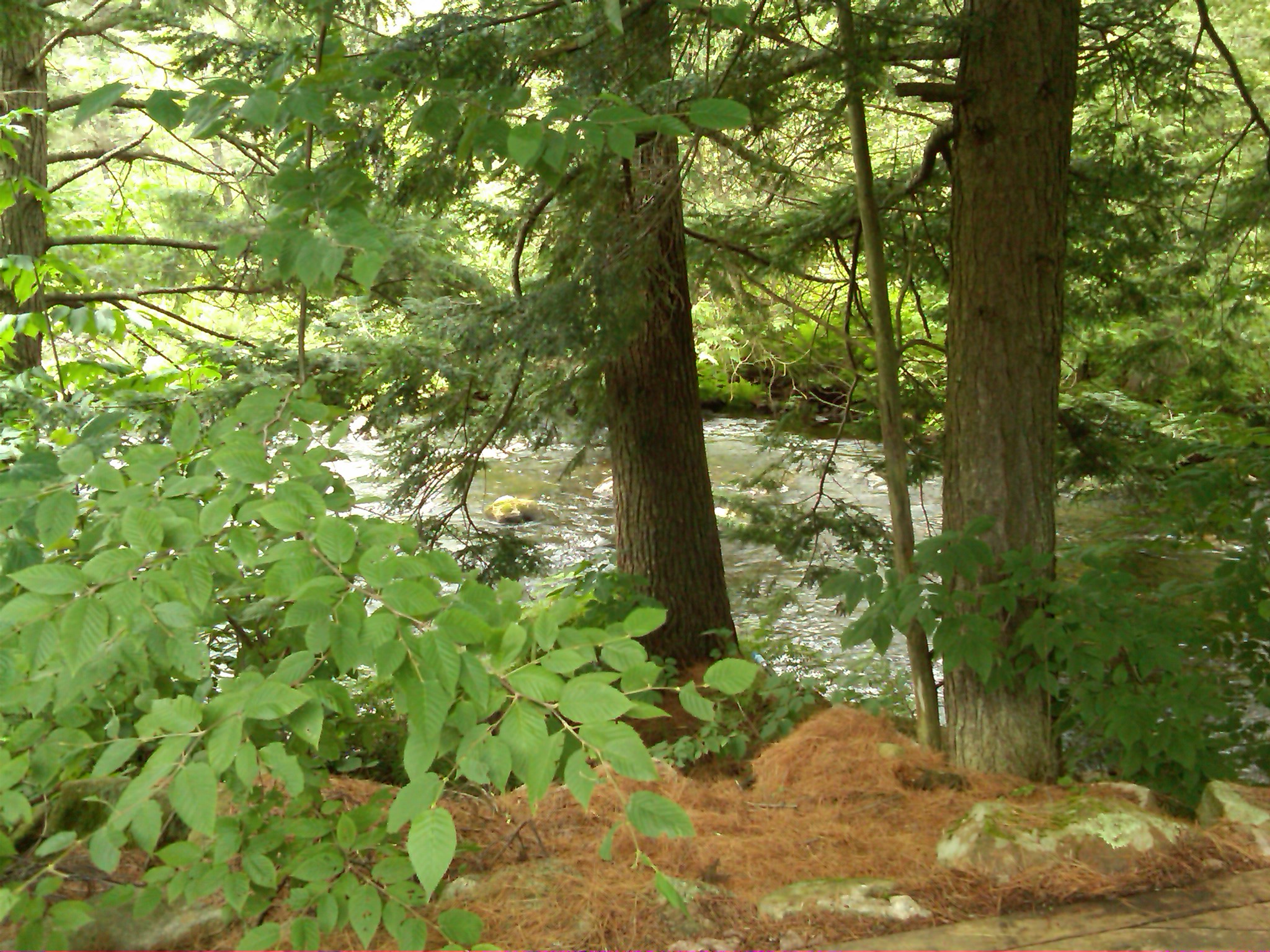
Little Unnamed Waterfall in Vermont

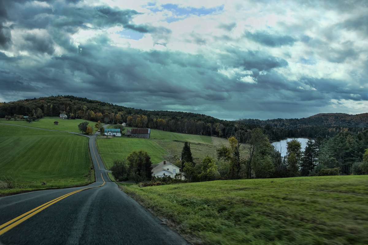
Evening at East Corinth, Vermont

East Corinth, Vermont

Bogie Mountain Farm
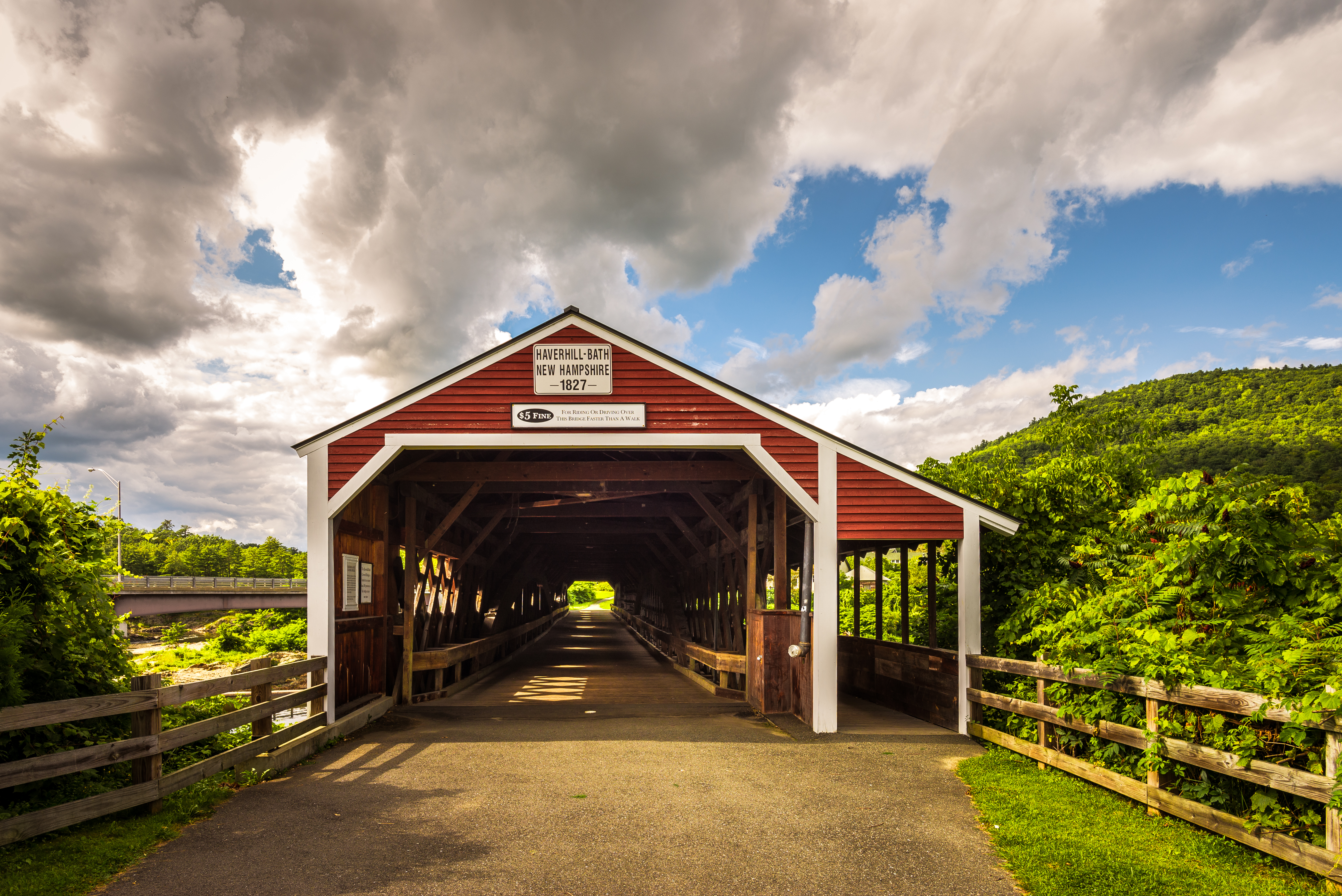
Haverhill-Bath Covered Bridge

Bogie Mountain Farm, Barnet, Vermont
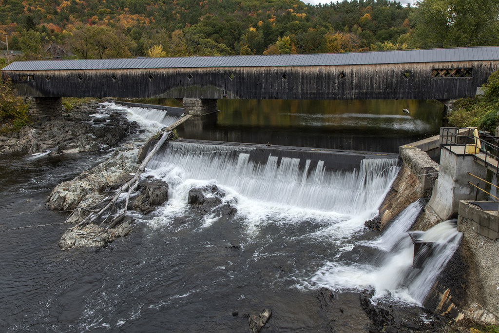
Bath-Haverhill Covered Bridge
IMG00035-20100725-1249.jpg

2016-11-27_08-46-19

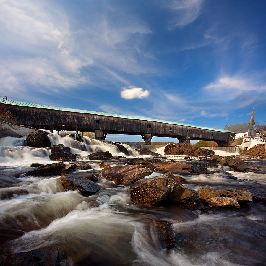
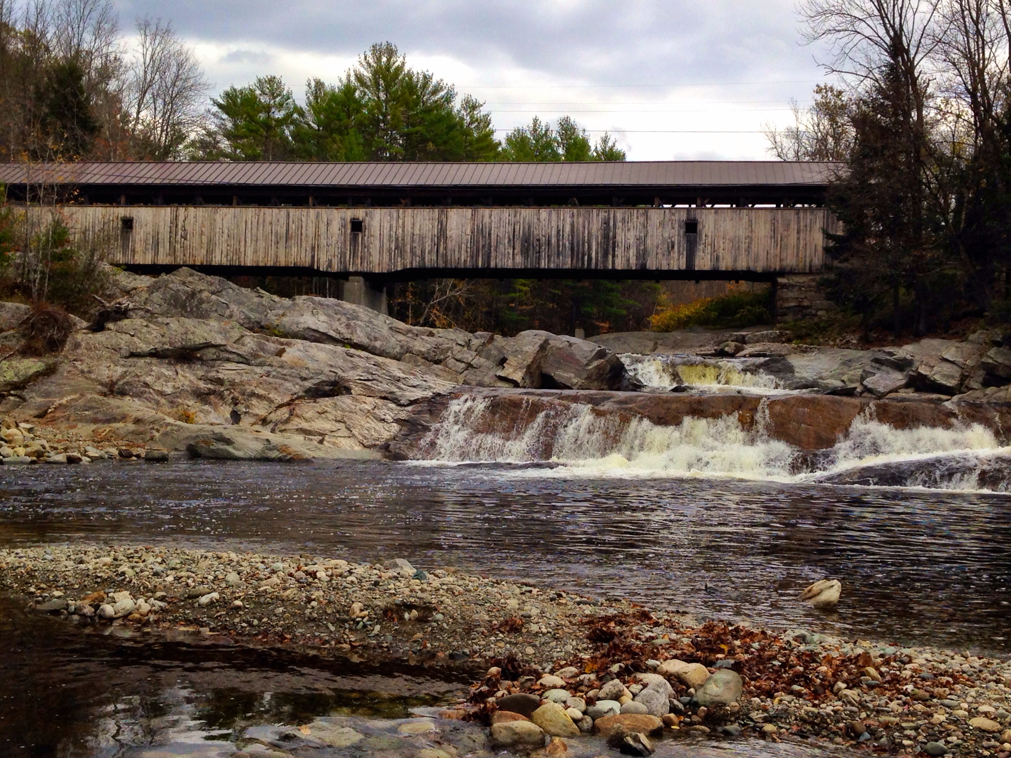
Swiftwater Covered Bridge

Black Spruce (Picea marianna)
"LOW CLOUDS" Vermont
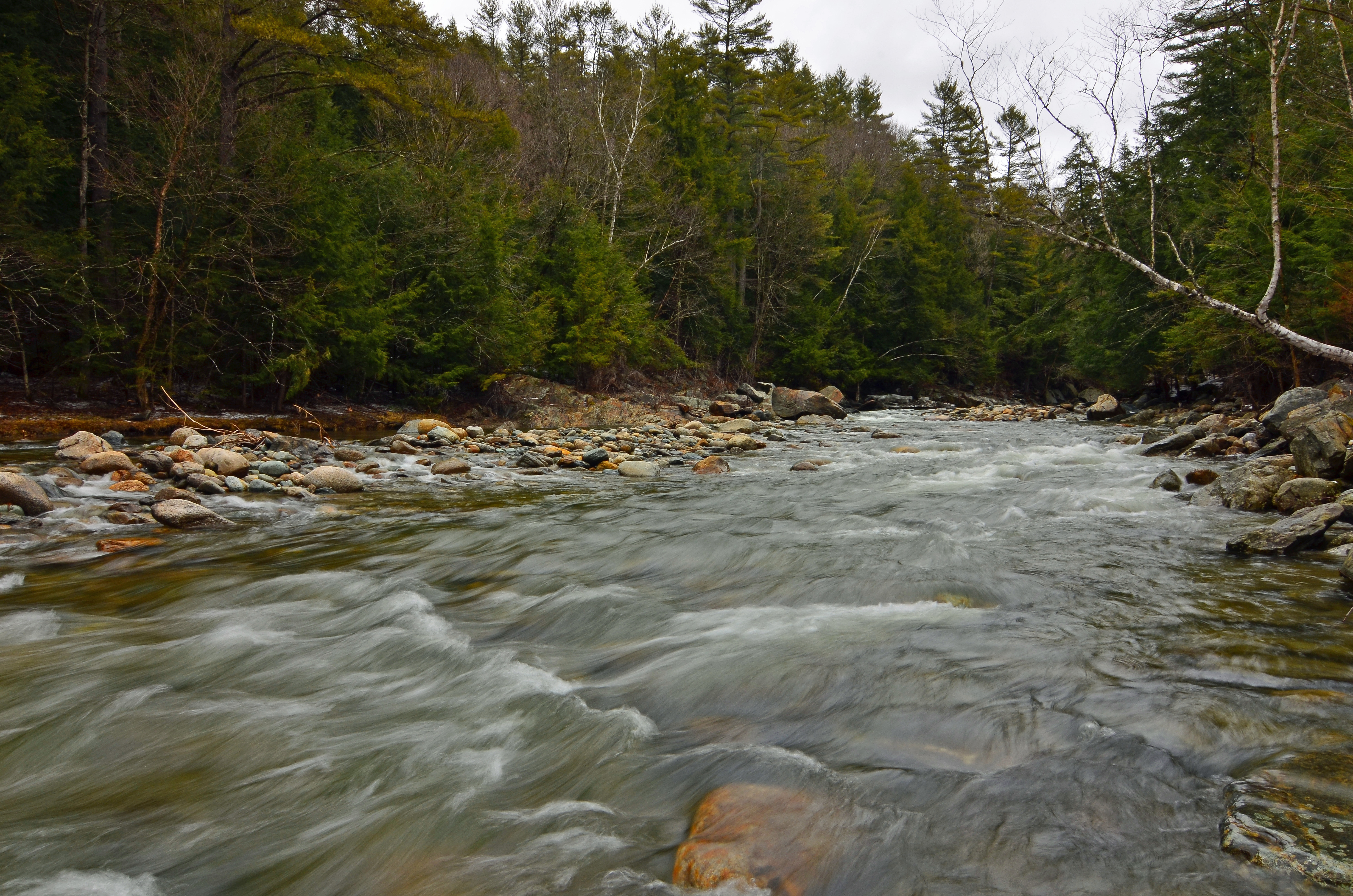
Ammonoosuc River
Covered Bridge
Borders of NH
My favorite fishing spot
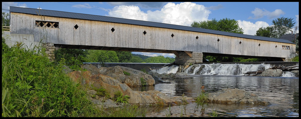
Bath-Haverhill covered Bridge
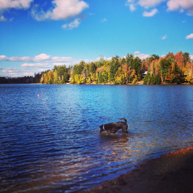
Andy is always ready for a swim! #fall
White mountains

Lối Thu
Topographic Map of 40 Jennings Ln, Wells River, VT, USA
Find elevation by address:

Places near 40 Jennings Ln, Wells River, VT, USA:
258 Vaughan Rd
South Ryegate
8 Church St, South Ryegate, VT, USA
52 Stoneshed Rd
18 S Bayley Hazen Rd, Ryegate, VT, USA
Newbury
186 Hillside Dr
Newbury Center Rd, Newbury, VT, USA
219 Longmoore Dr
754 Cochran Dr
779 Symes Pond Rd
184 Stark Trail
184 Stark Trail
184 Stark Trail
Wallace Hill Road
Ryegate
24 Seldom Seen Farm Rd
874 Glover Rd
158 Railroad St
1334 Scott Hwy #3
Recent Searches:
- Elevation of W Granada St, Tampa, FL, USA
- Elevation of Pykes Down, Ivybridge PL21 0BY, UK
- Elevation of Jalan Senandin, Lutong, Miri, Sarawak, Malaysia
- Elevation of Bilohirs'k
- Elevation of 30 Oak Lawn Dr, Barkhamsted, CT, USA
- Elevation of Luther Road, Luther Rd, Auburn, CA, USA
- Elevation of Unnamed Road, Respublika Severnaya Osetiya — Alaniya, Russia
- Elevation of Verkhny Fiagdon, North Ossetia–Alania Republic, Russia
- Elevation of F. Viola Hiway, San Rafael, Bulacan, Philippines
- Elevation of Herbage Dr, Gulfport, MS, USA