Elevation of Powder Spring Road, Powder Spring Rd, Topsham, VT, USA
Location: United States > Vermont > Orange County > Topsham >
Longitude: -72.228931
Latitude: 44.1563769
Elevation: 436m / 1430feet
Barometric Pressure: 96KPa
Elevation Map:
Satellite Map:
Related Photos:
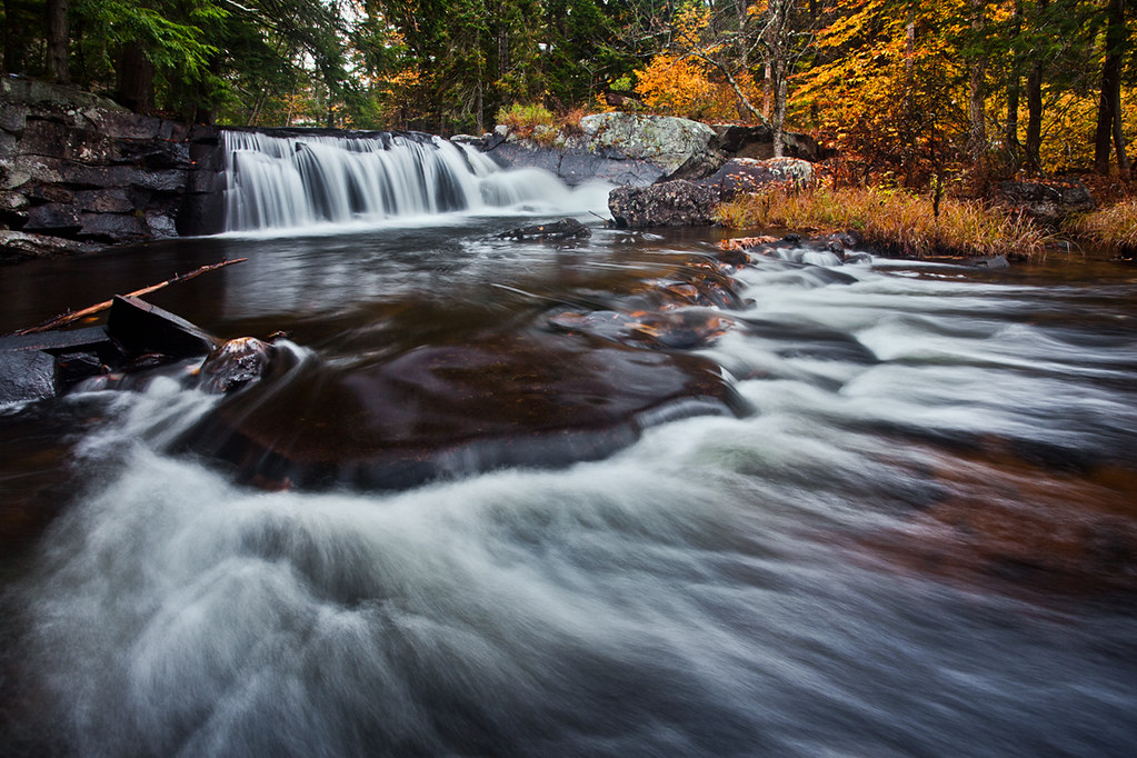
Little Unnamed Waterfall in Vermont

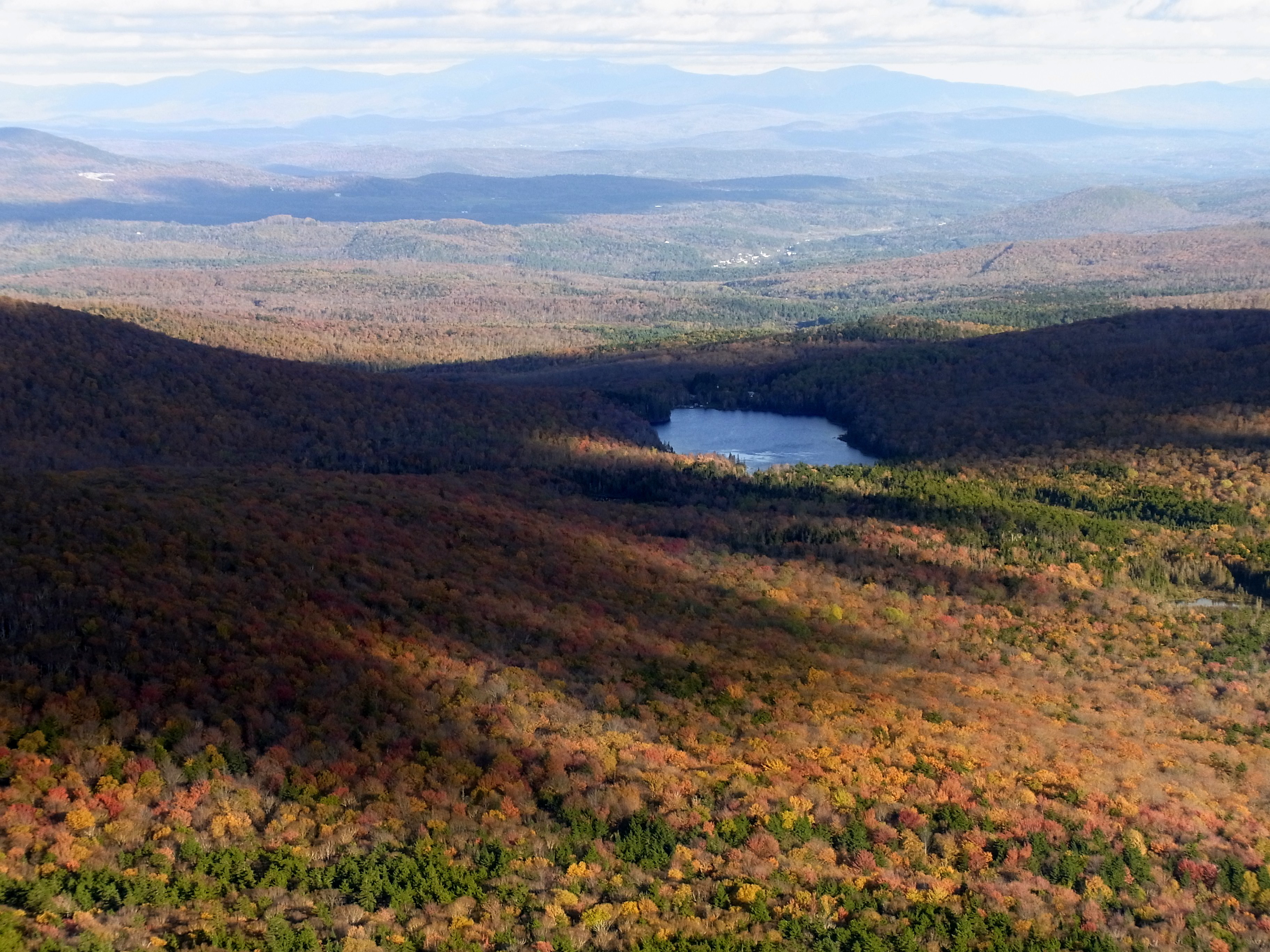
Autumn in Vermont

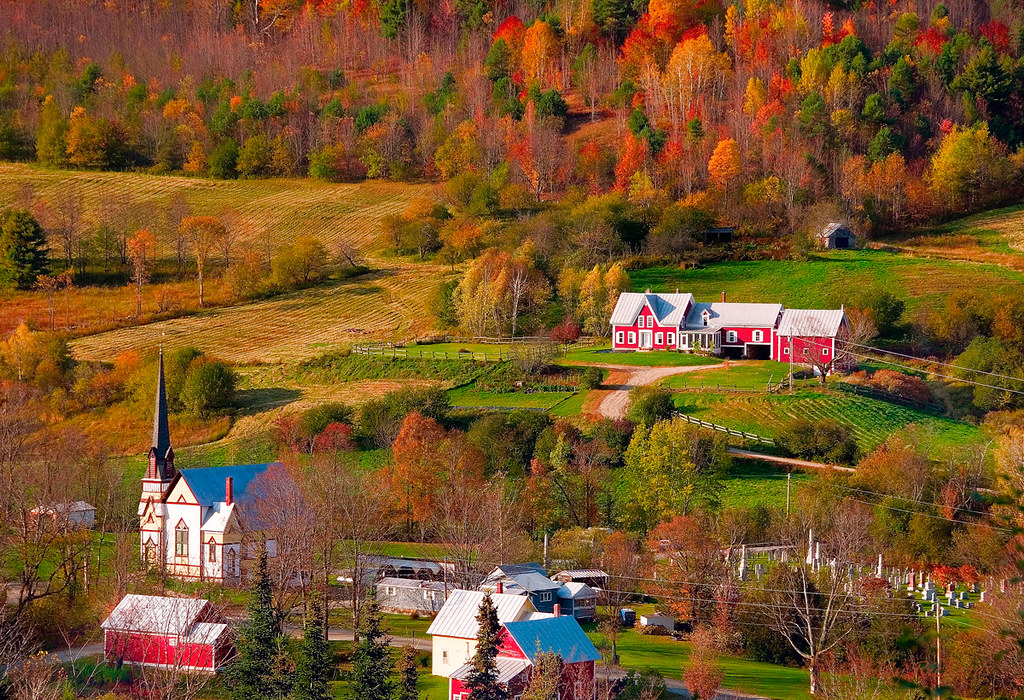
East Corinth, Vermont

Evening at East Corinth, Vermont
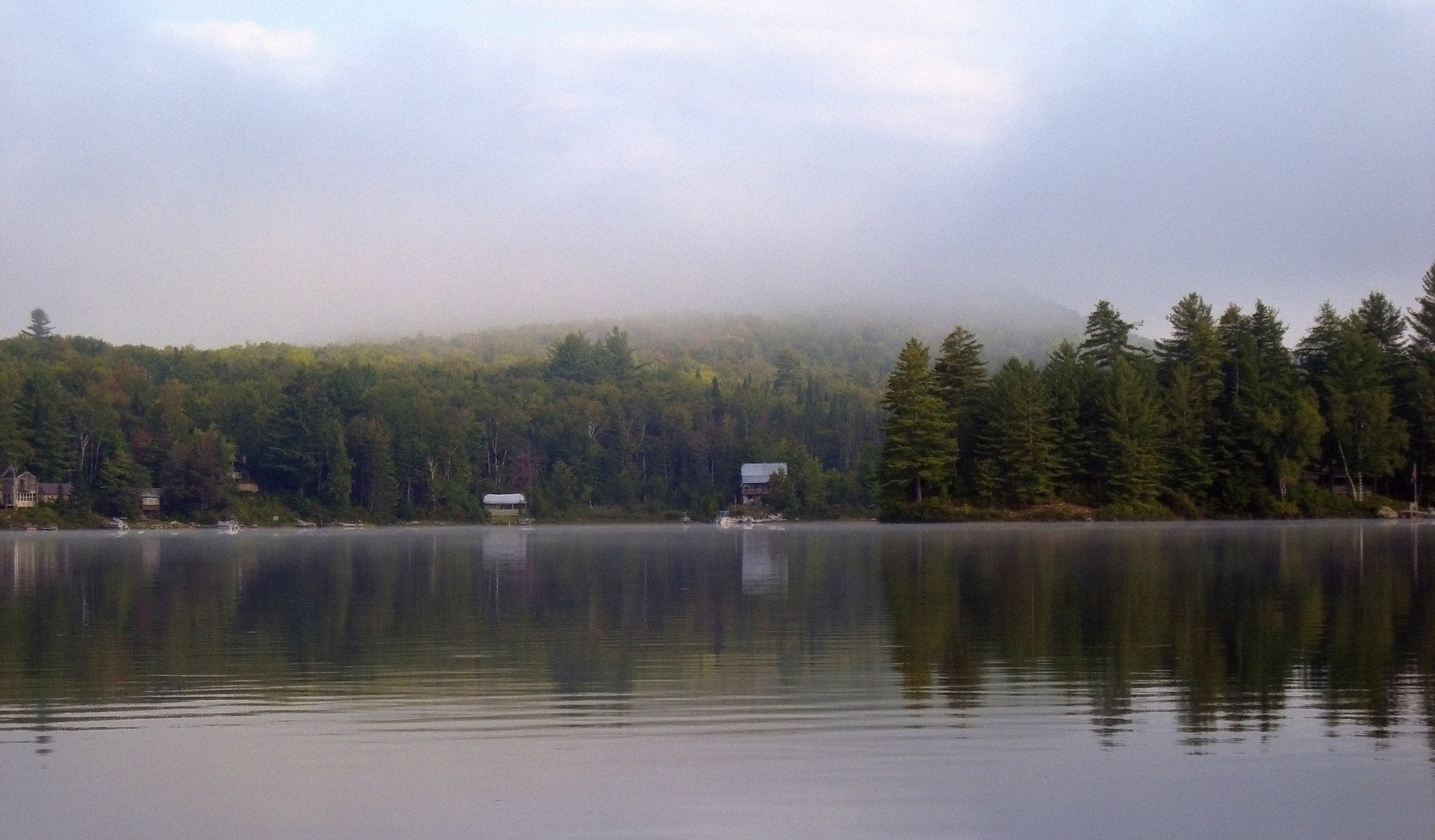
Morning fog over Ricker Pond
"LOW CLOUDS" Vermont
Ammonoosuc River

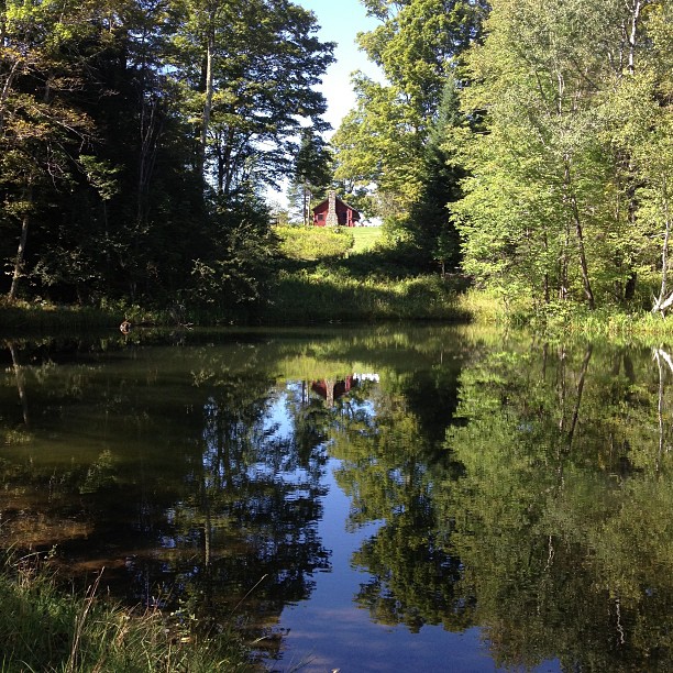
Lake Groton, Vermont.
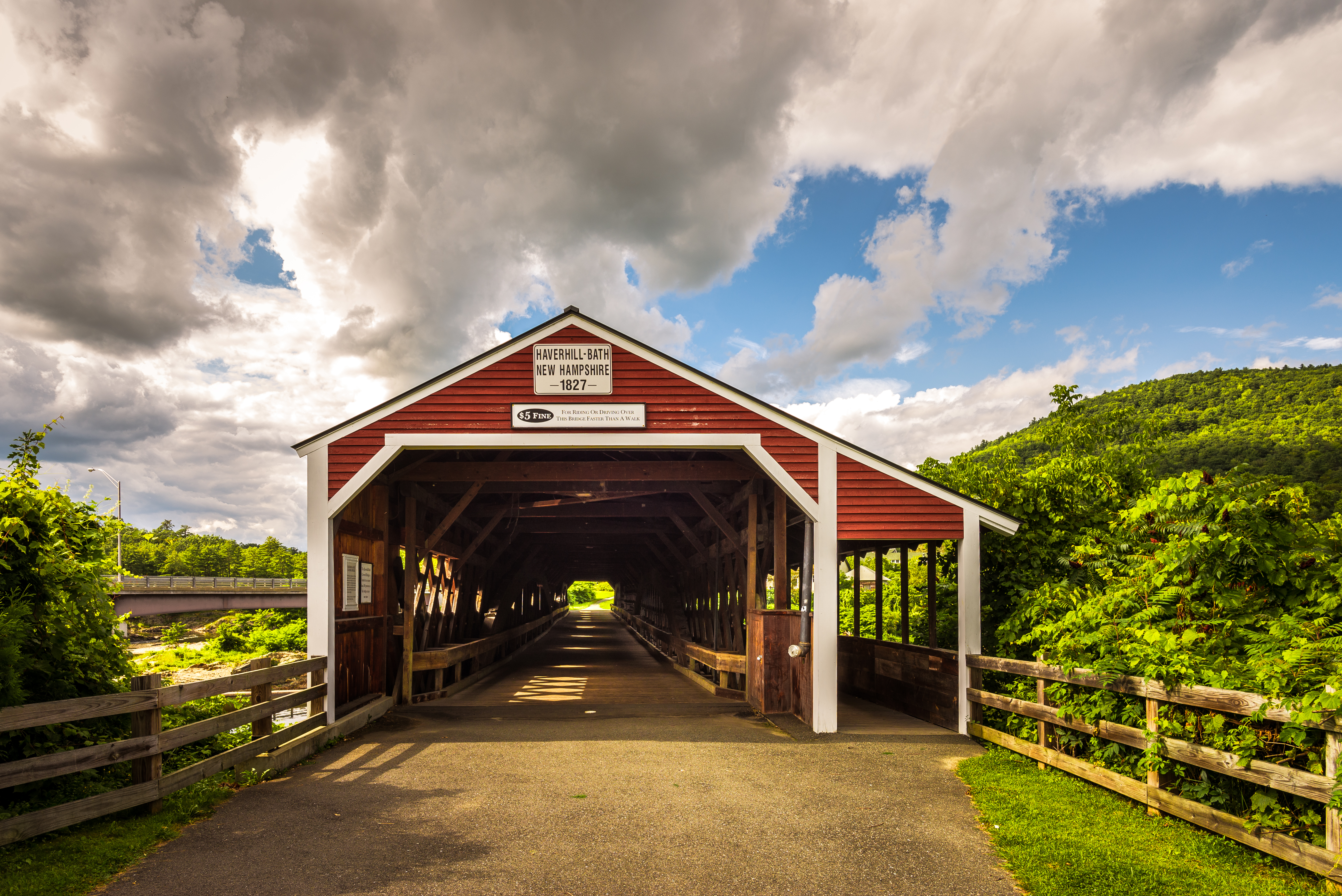
Haverhill-Bath Covered Bridge
Borders of NH

Lake Groton

A break in the wall and a wide path of ferns. I wonder..... Morning walk #9 #ilovethecabin

Lake Groton Dam
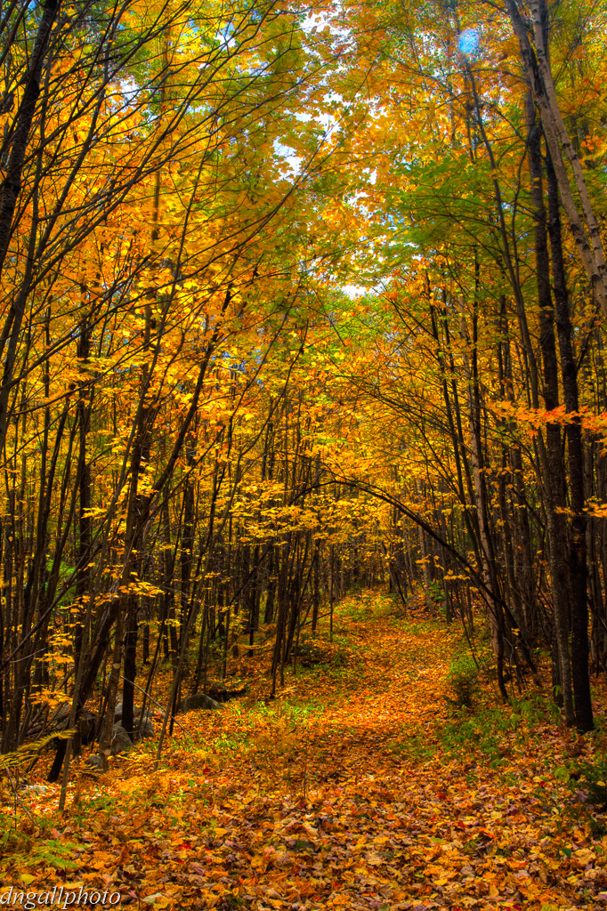
Path through Color
East Orange
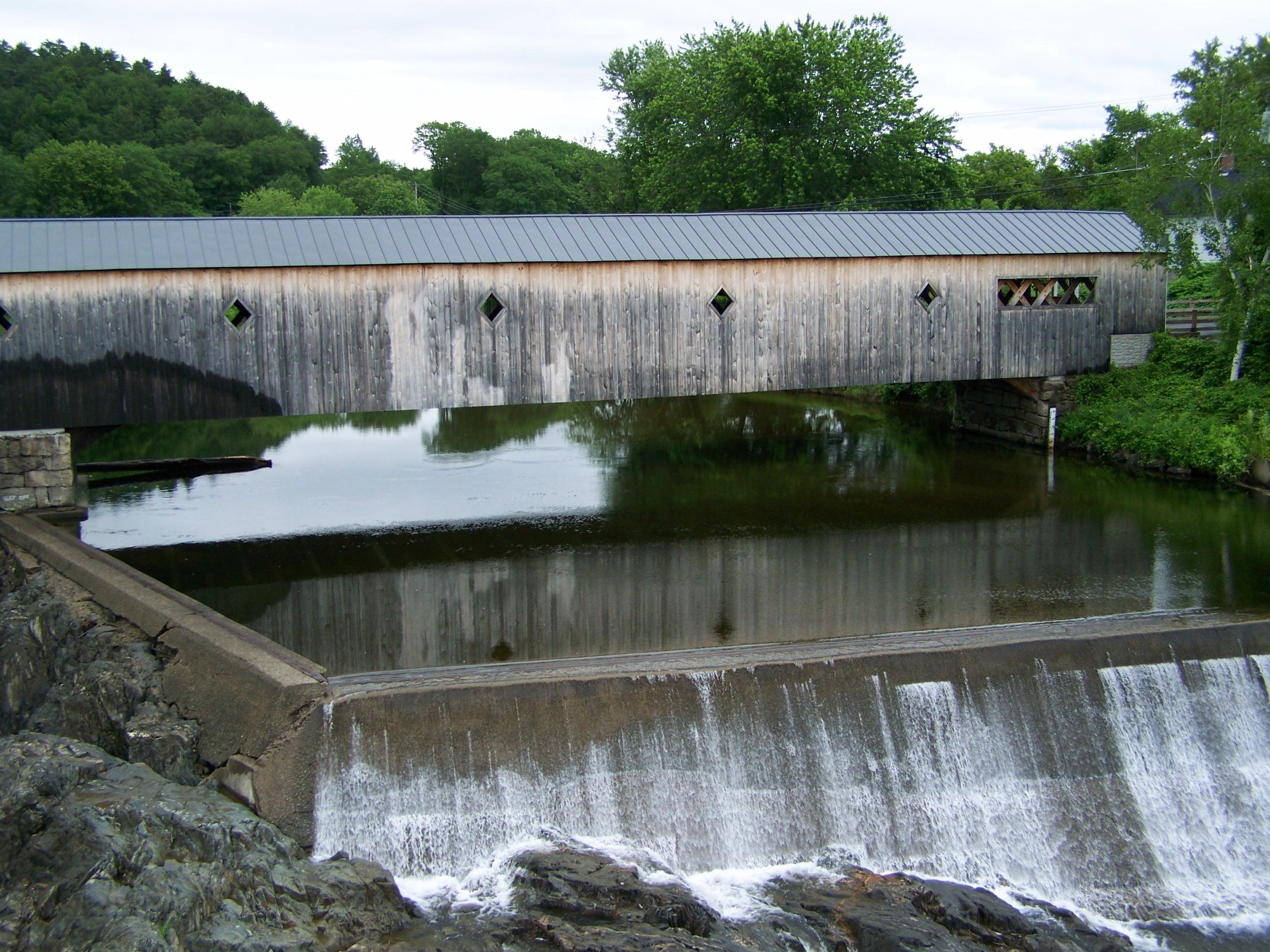
Haverhill- Bath Covered Bridge- Woodsville NH (3)
Perfect day for the classic cabin shot. #nofilter #ilovethecabin

Sunset tonight made the sky look like it was on fire!

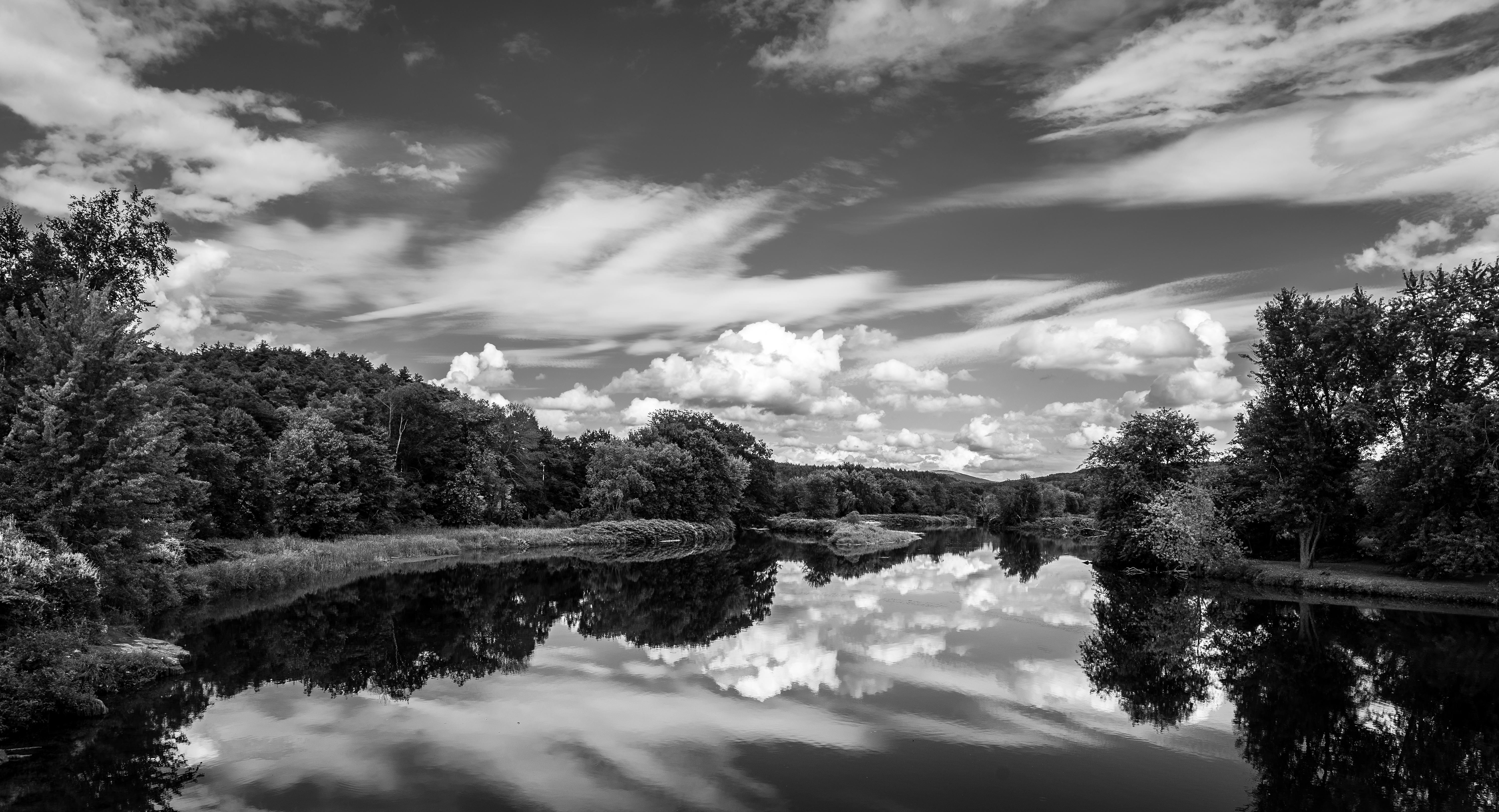
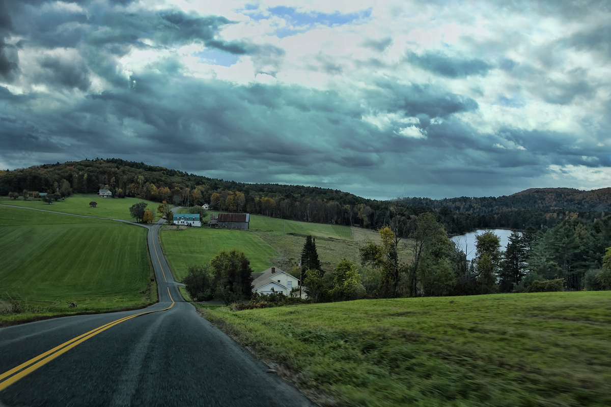
Waits River
Pidgeon Pond

Ruby Throated Hummingbird
Topographic Map of Powder Spring Road, Powder Spring Rd, Topsham, VT, USA
Find elevation by address:

Places near Powder Spring Road, Powder Spring Rd, Topsham, VT, USA:
93 Harts Rd
18 Kasson Rd
Topsham
8 Harts Rd
8 Harts Crossroad
8 Harts Crossroad
8 Harts Crossroad
8 Harts Crossroad
8 Harts Crossroad
8 Harts Crossroad
230 Willey Hill Rd
24 Seldom Seen Farm Rd
13 Mountain View Dr
Mountain View Drive
158 Railroad St
1334 Scott Hwy #3
563 State Forest Rd
952 Minard Hill Rd
874 Glover Rd
91 W Glauchester Rd
Recent Searches:
- Elevation of East W.T. Harris Boulevard, E W.T. Harris Blvd, Charlotte, NC, USA
- Elevation of West Sugar Creek, Charlotte, NC, USA
- Elevation of Wayland, NY, USA
- Elevation of Steadfast Ct, Daphne, AL, USA
- Elevation of Lagasgasan, X+CQH, Tiaong, Quezon, Philippines
- Elevation of Rojo Ct, Atascadero, CA, USA
- Elevation of Flagstaff Drive, Flagstaff Dr, North Carolina, USA
- Elevation of Avery Ln, Lakeland, FL, USA
- Elevation of Woolwine, VA, USA
- Elevation of Lumagwas Diversified Farmers Multi-Purpose Cooperative, Lumagwas, Adtuyon, RV32+MH7, Pangantucan, Bukidnon, Philippines