Elevation of Negro Mountain Church, Grantsville, MD, USA
Location: United States > Maryland > Garrett County > 3, Grantsville > Grantsville >
Longitude: -79.218921
Latitude: 39.6653616
Elevation: 800m / 2625feet
Barometric Pressure: 92KPa
Elevation Map:
Satellite Map:
Related Photos:
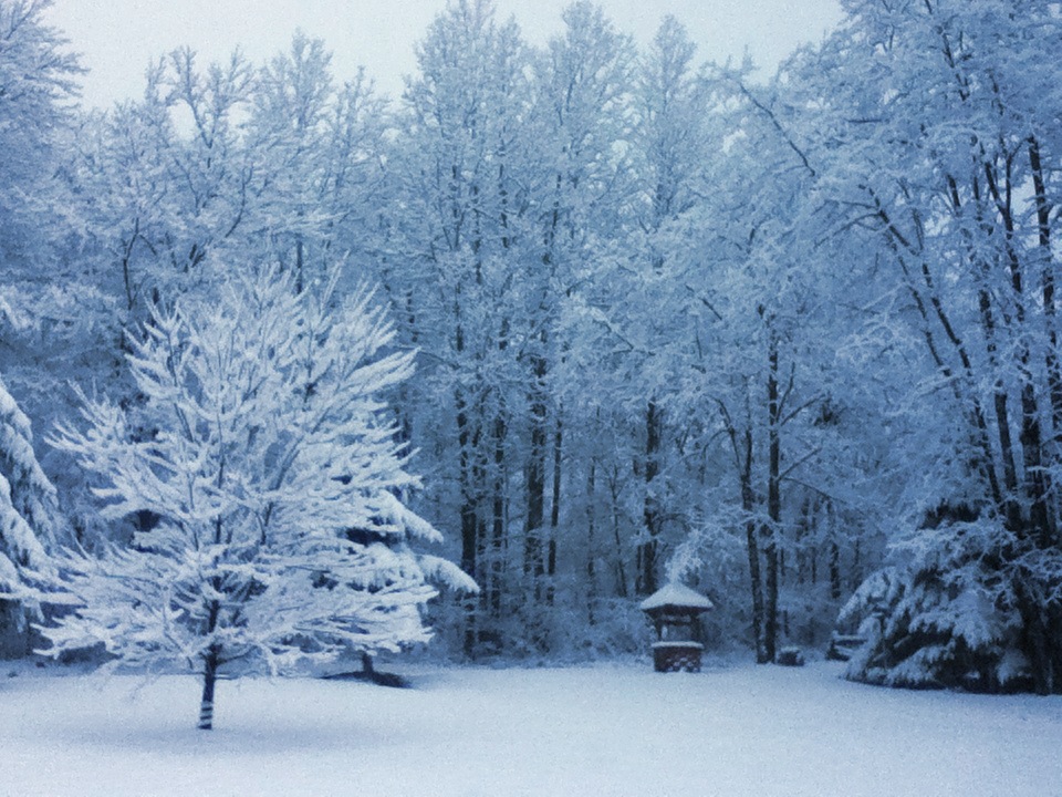
Front Yard View
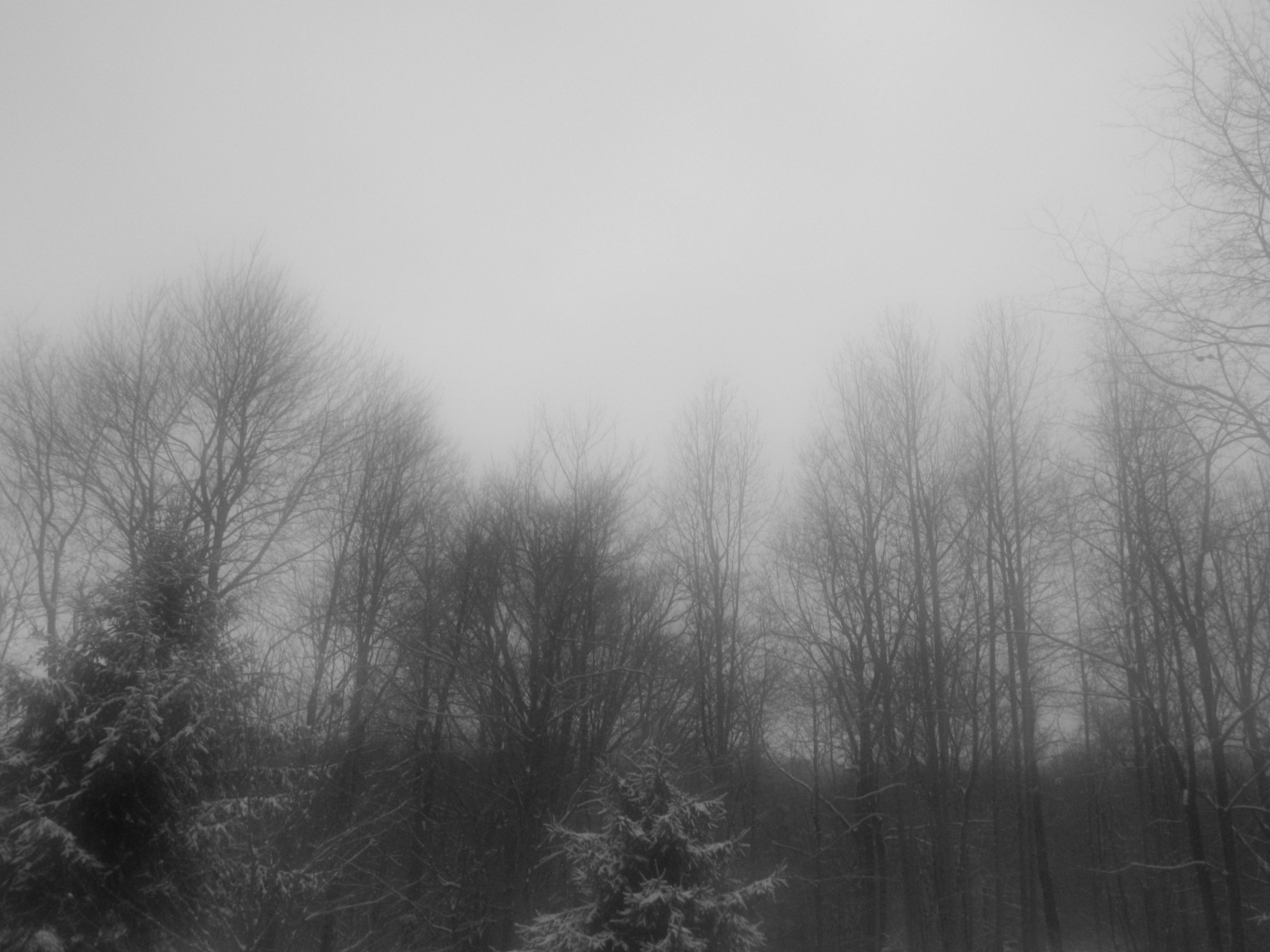
A View Through a Foggy Window
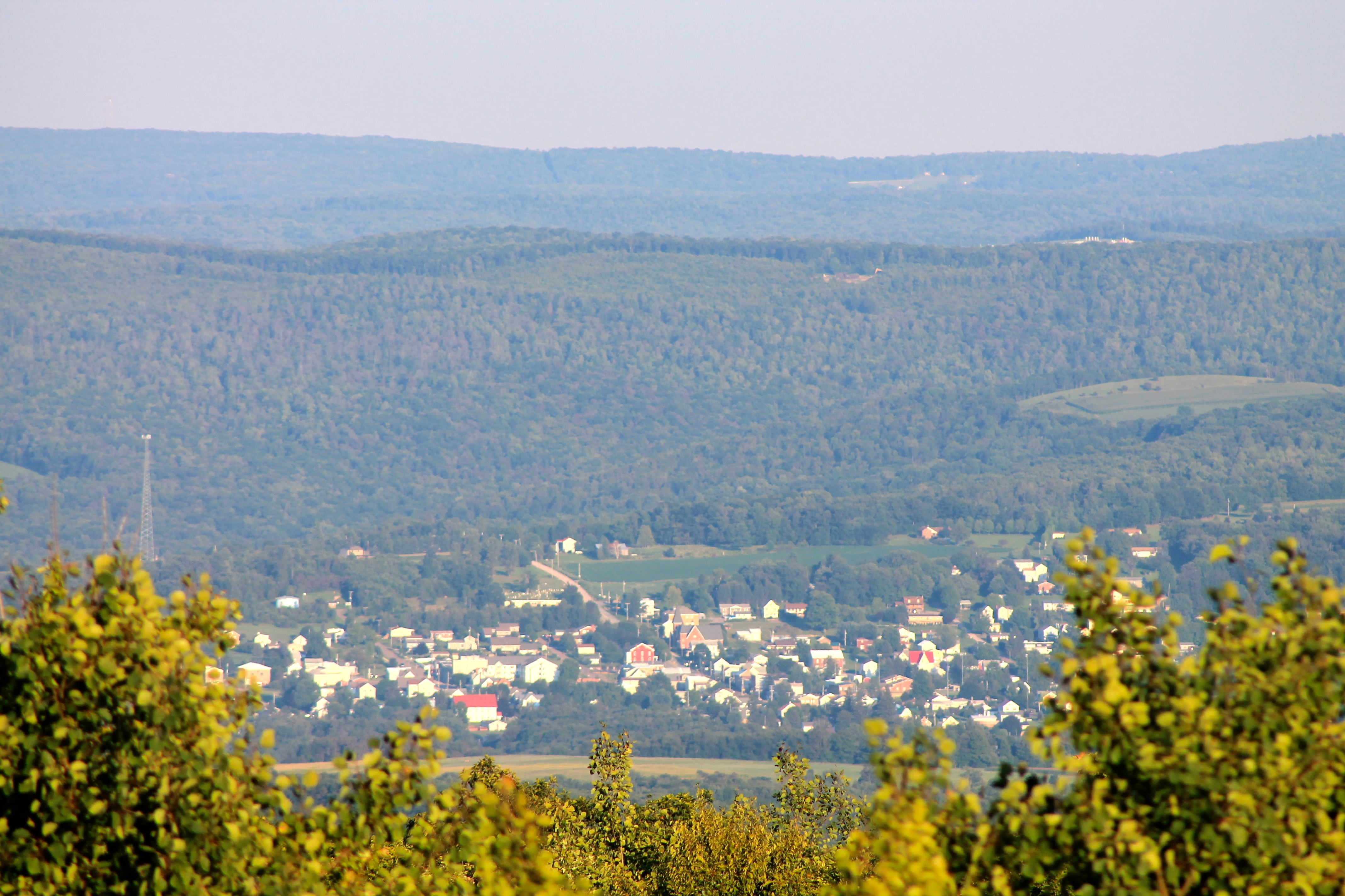
View From Mt. Davis

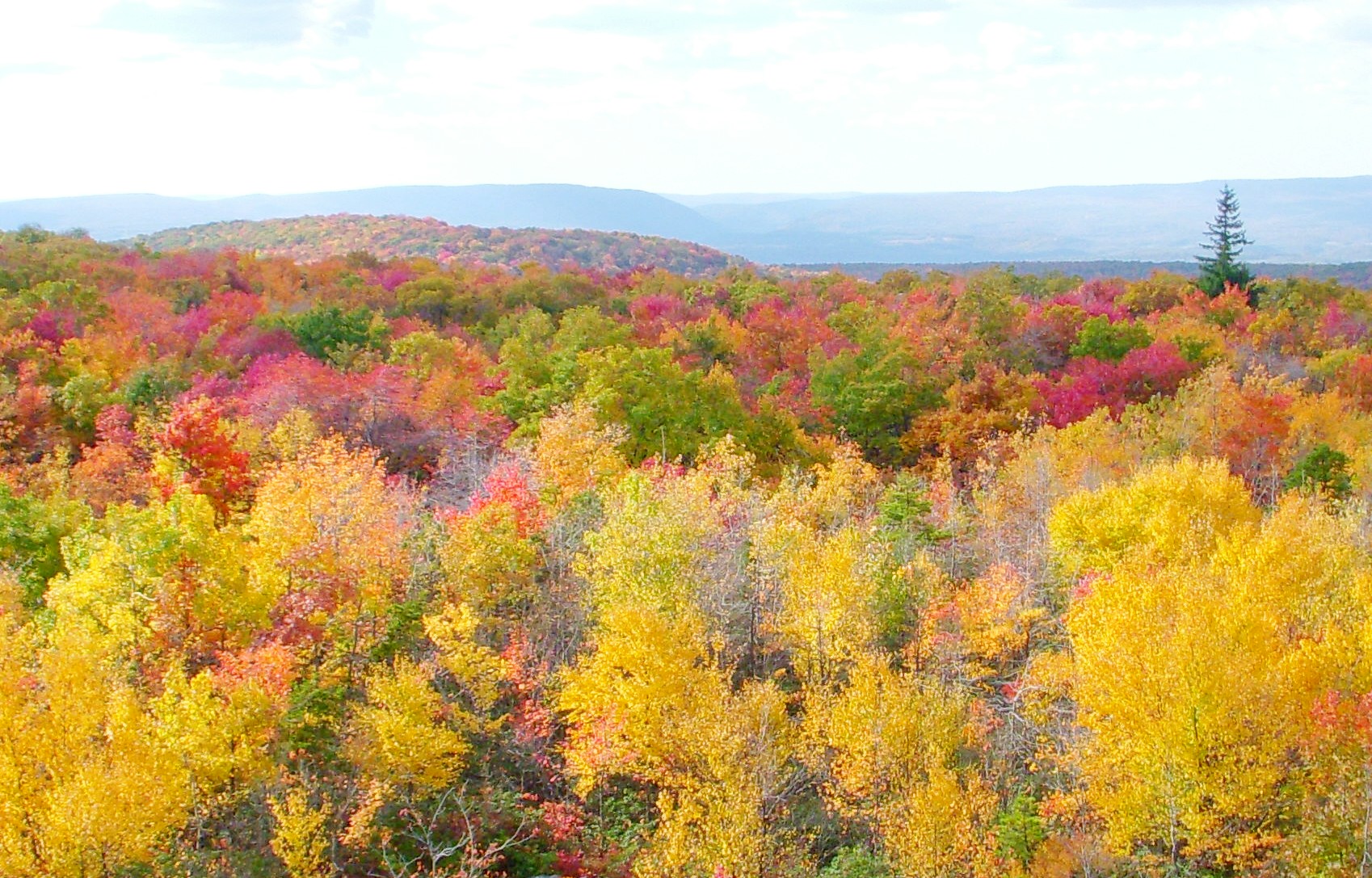
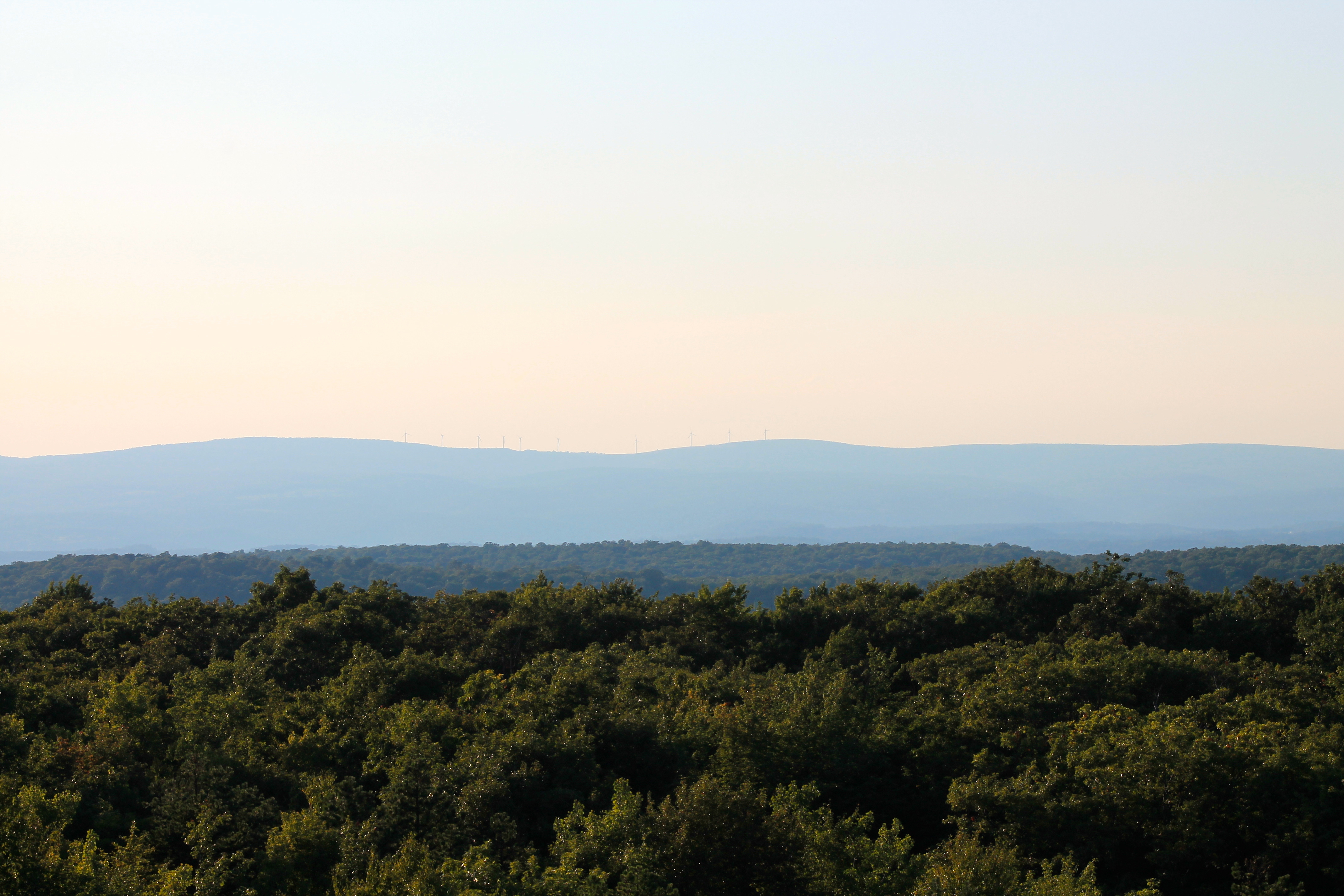
View SE from Mt. Davis Fire Tower
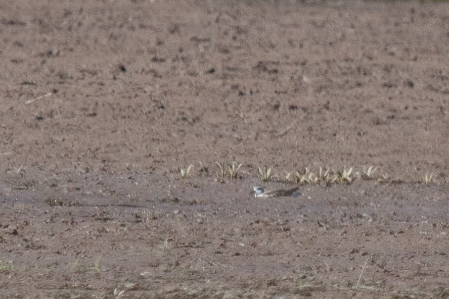
Red-necked Phalarope
West approach to Casselman River Bridge
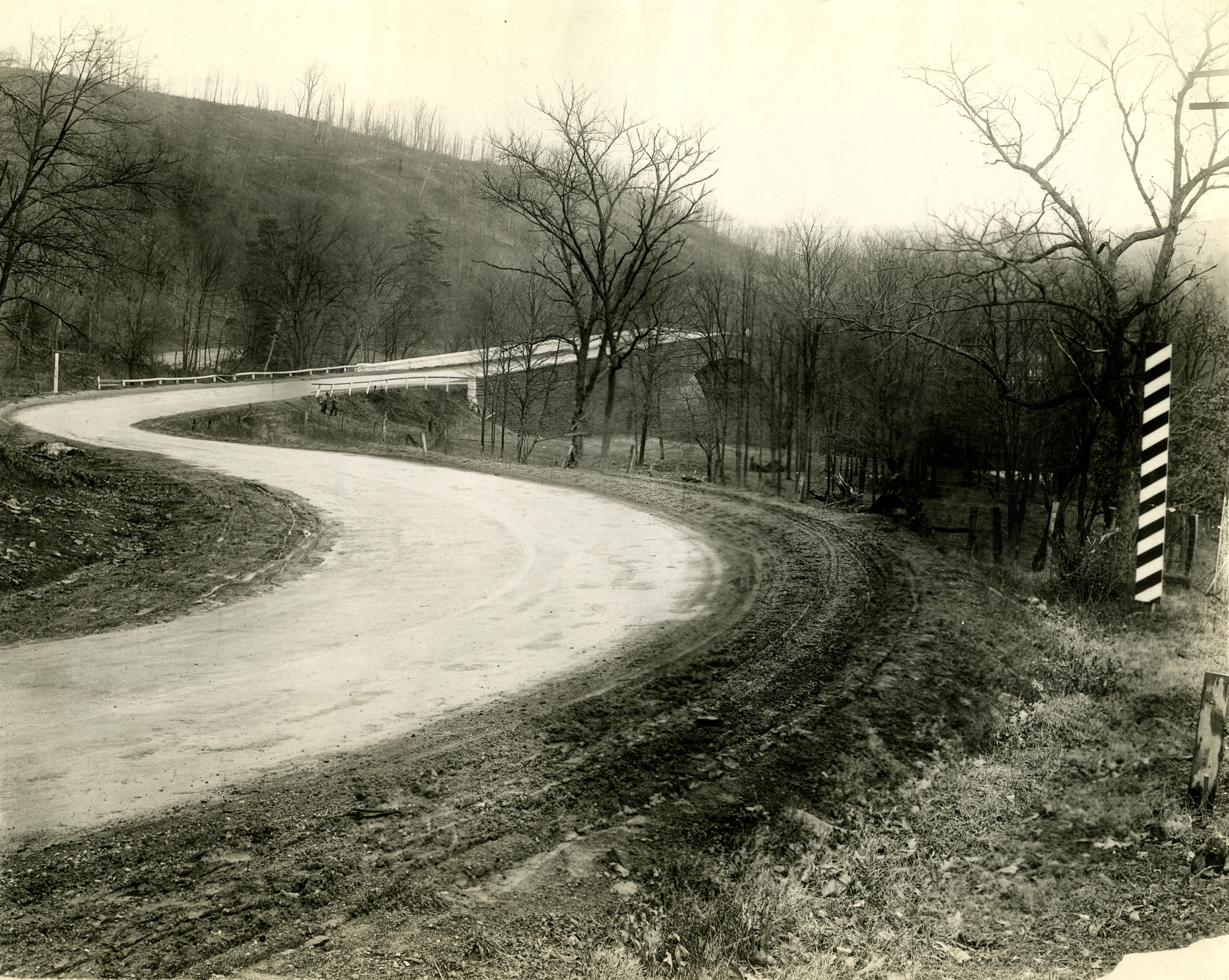
Just west of Turner’s Curve before grading
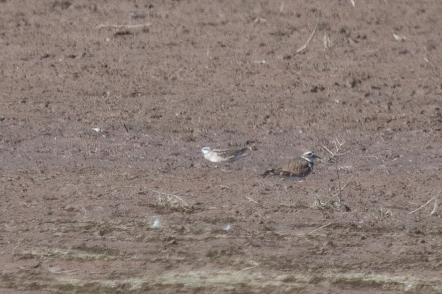
Red-necked Phalarope

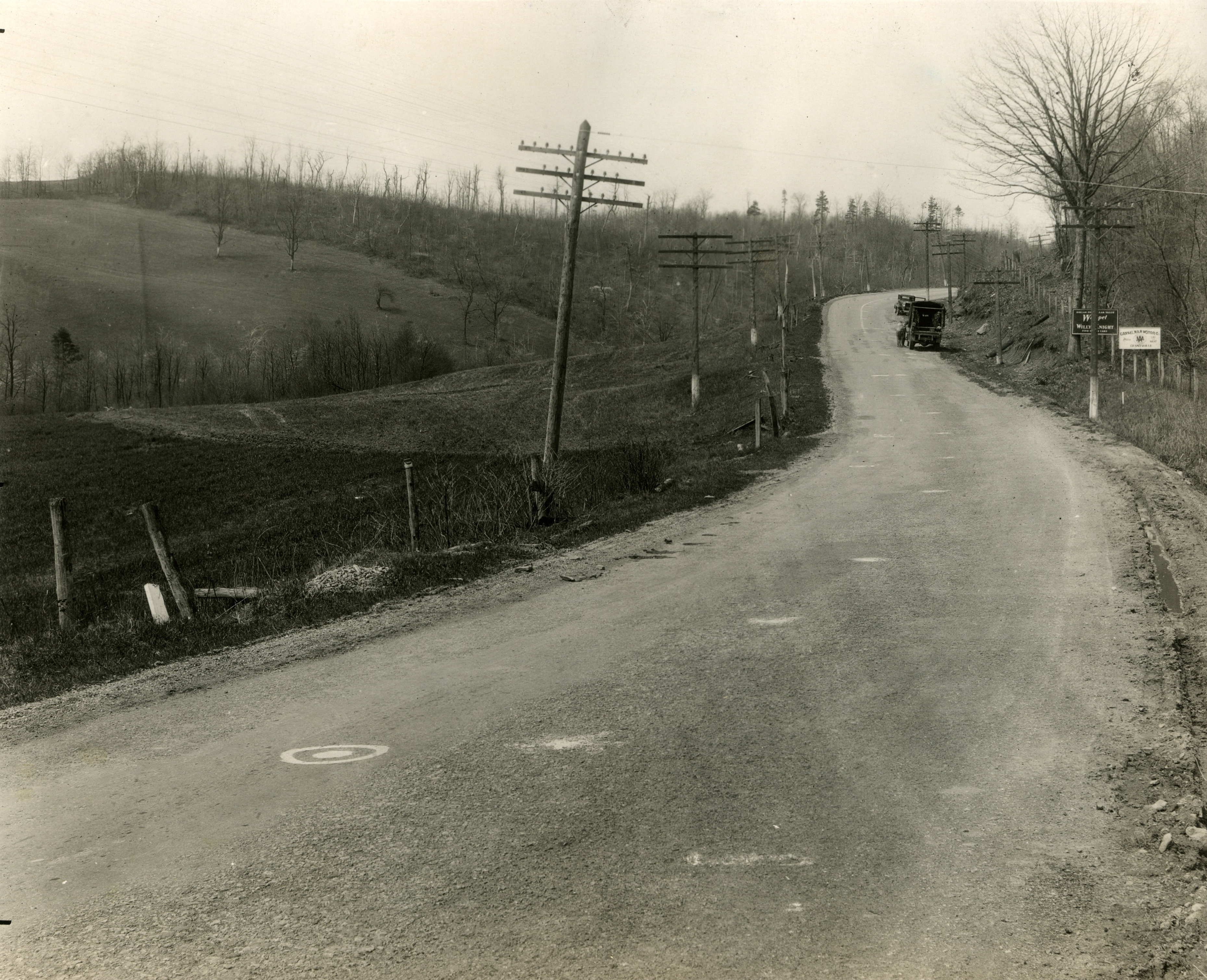
East approach to Casselman River Bridge
View west toward Laurel Ridge from Mt. Davis Fire Tower
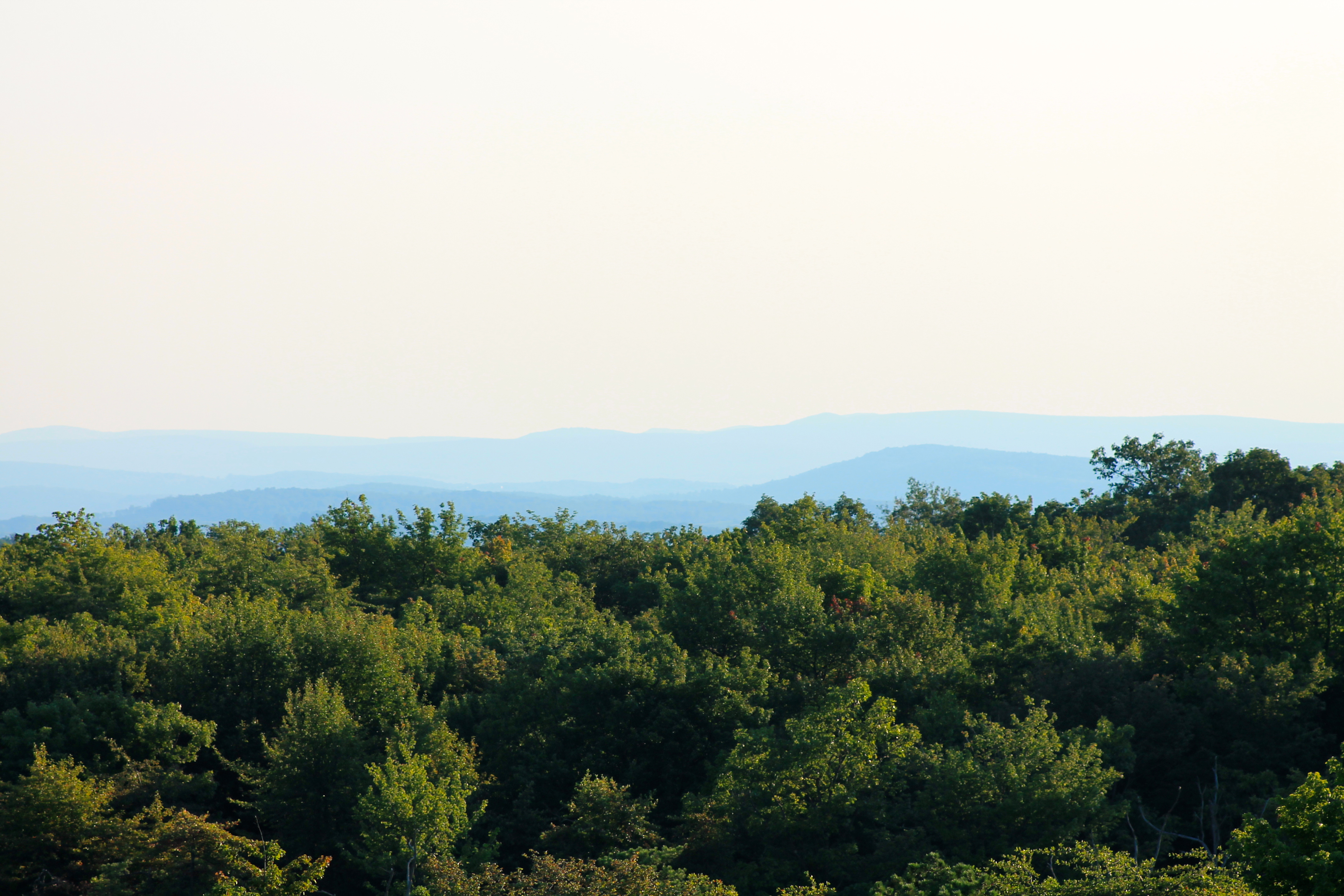
View toward Maryland from Mt. Davis Fire Tower
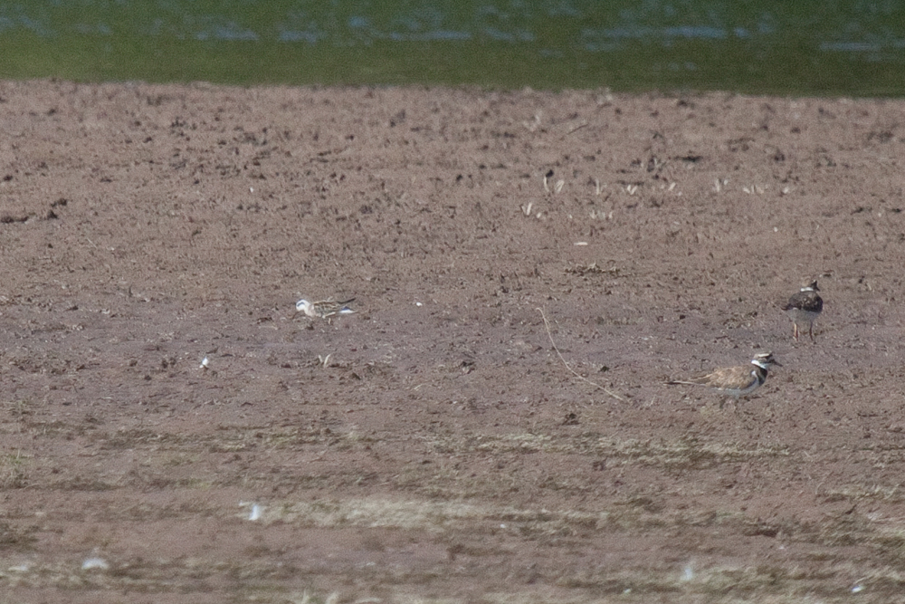
Red-necked Phalarope
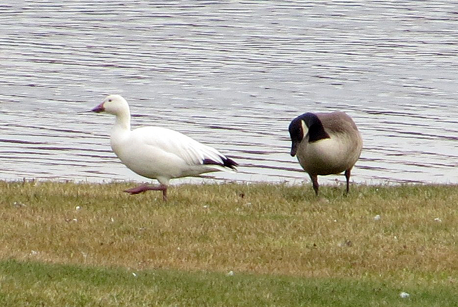
Snow Goose
shoot anything that doesn't move
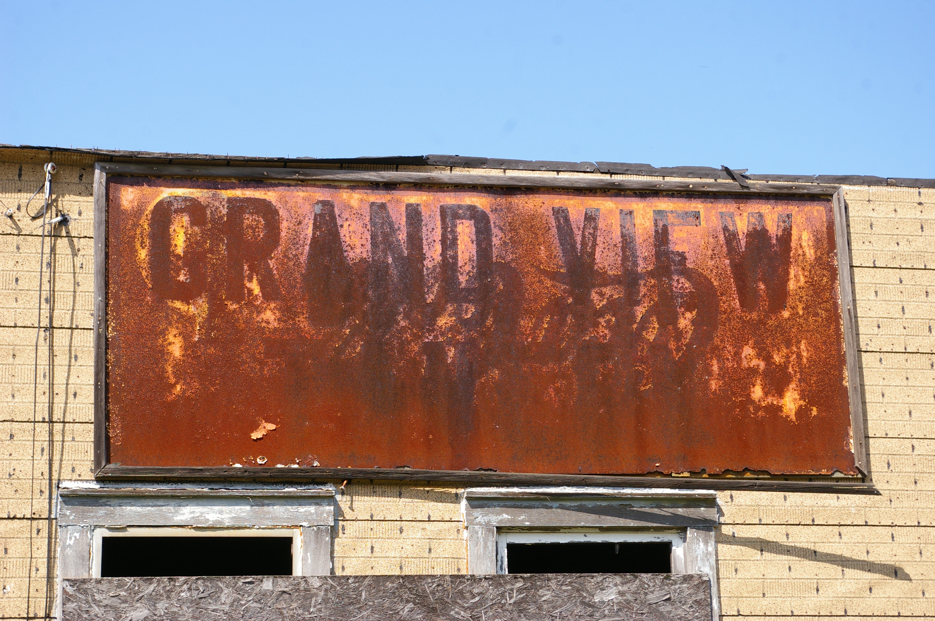
Grand View Tavern, Maryland
View North from the bridge
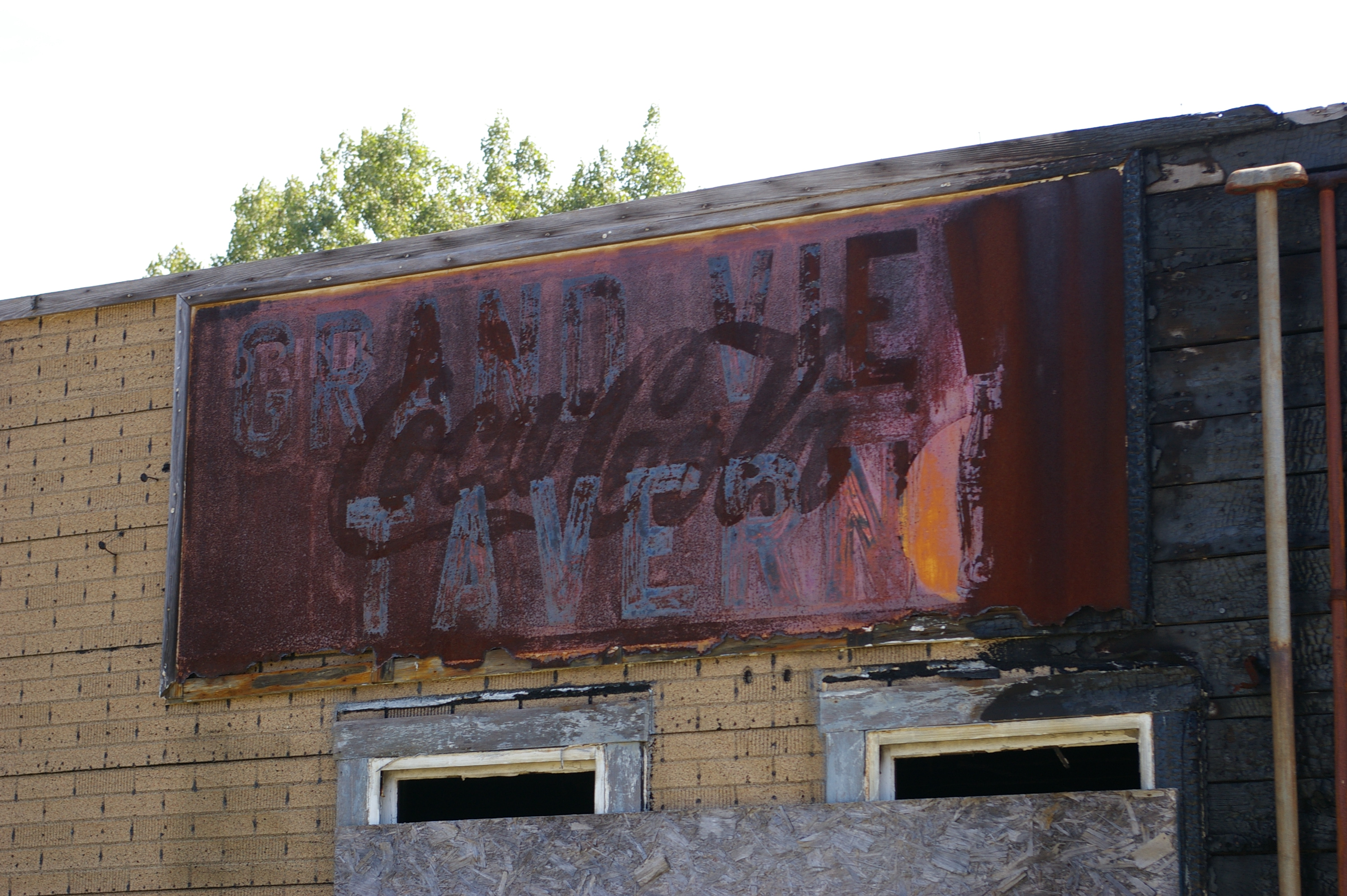
Grand View Tavern, Maryland
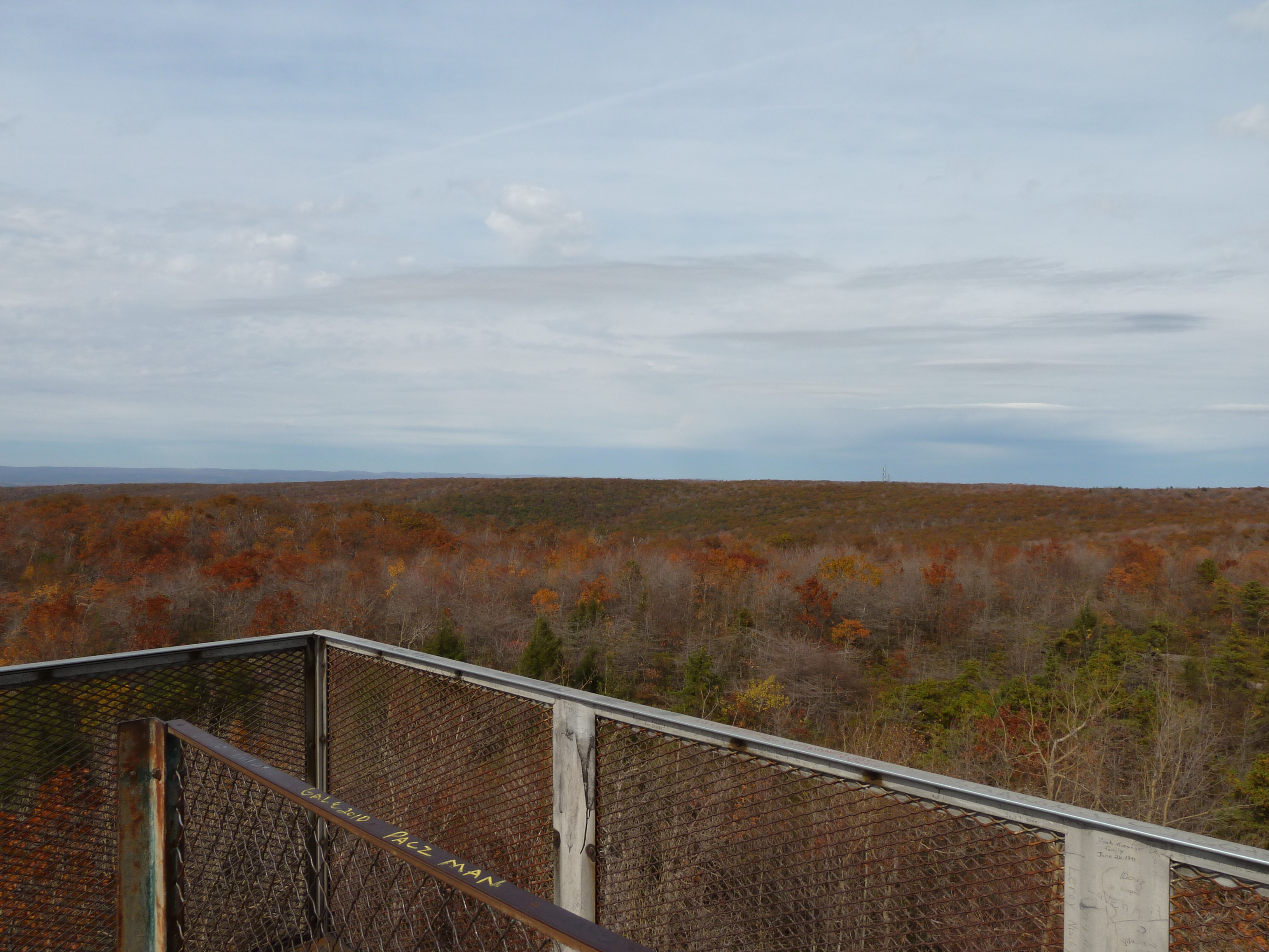
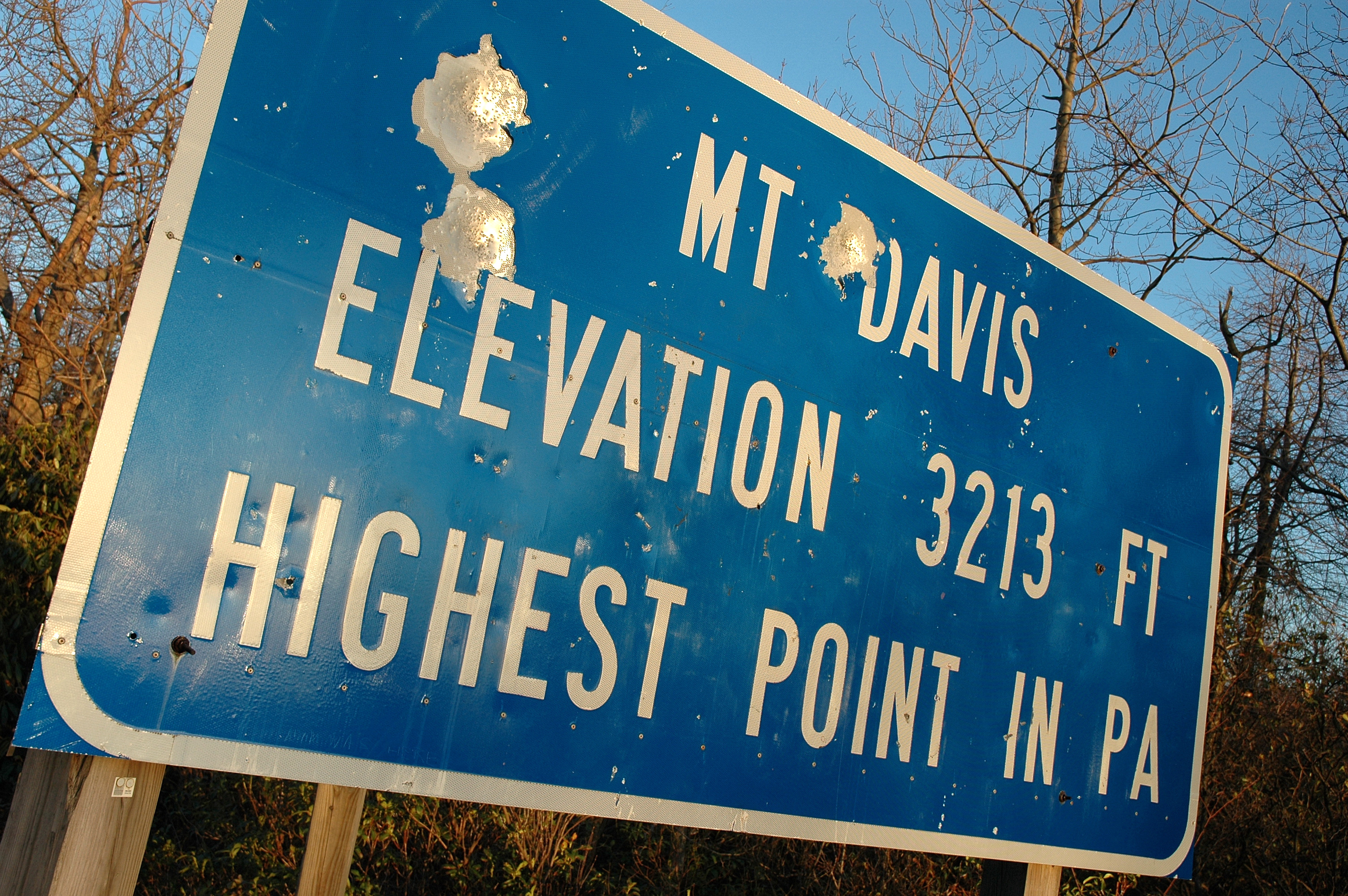
View from the Mount Davis lookout, PA's highest point
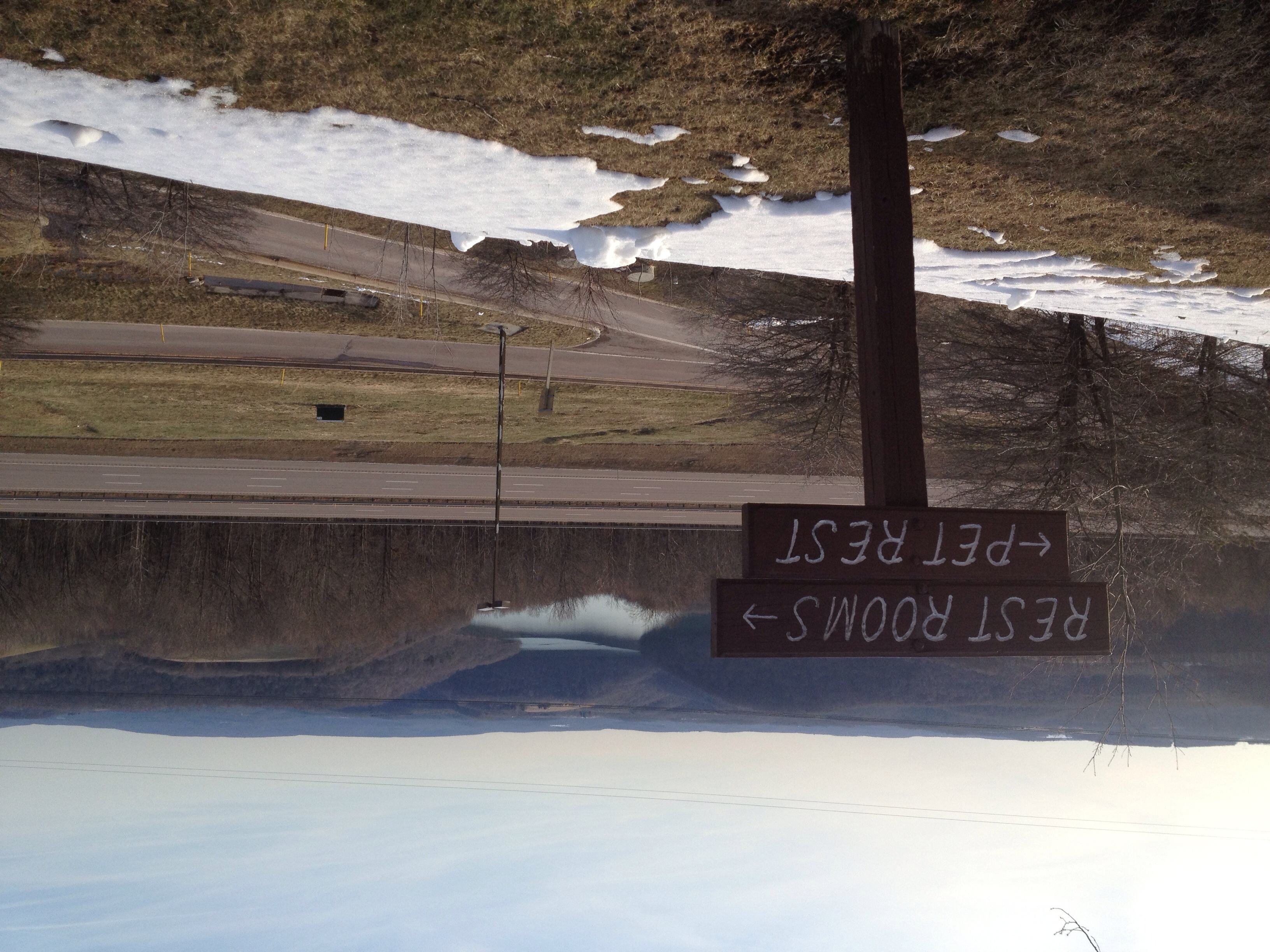
View from the Youghiogheny Overlook Welcome Center in Maryland

Ring-necked Ducks
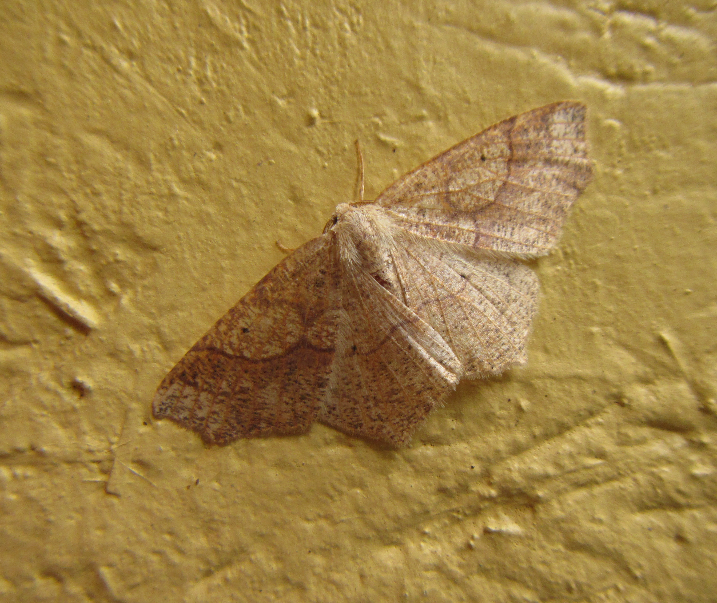
Hemlock looper

Casselman River Bridge State Park MD - 2016-06-18 (3)

DSC00371-2

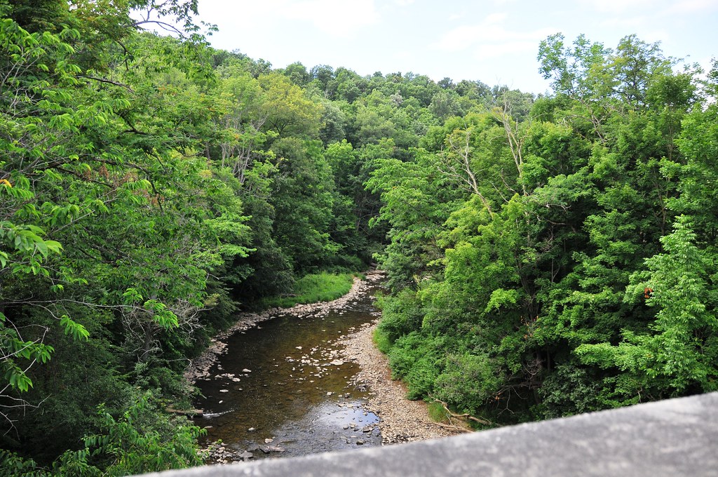
Bear Creek -- Garrett County, Maryland
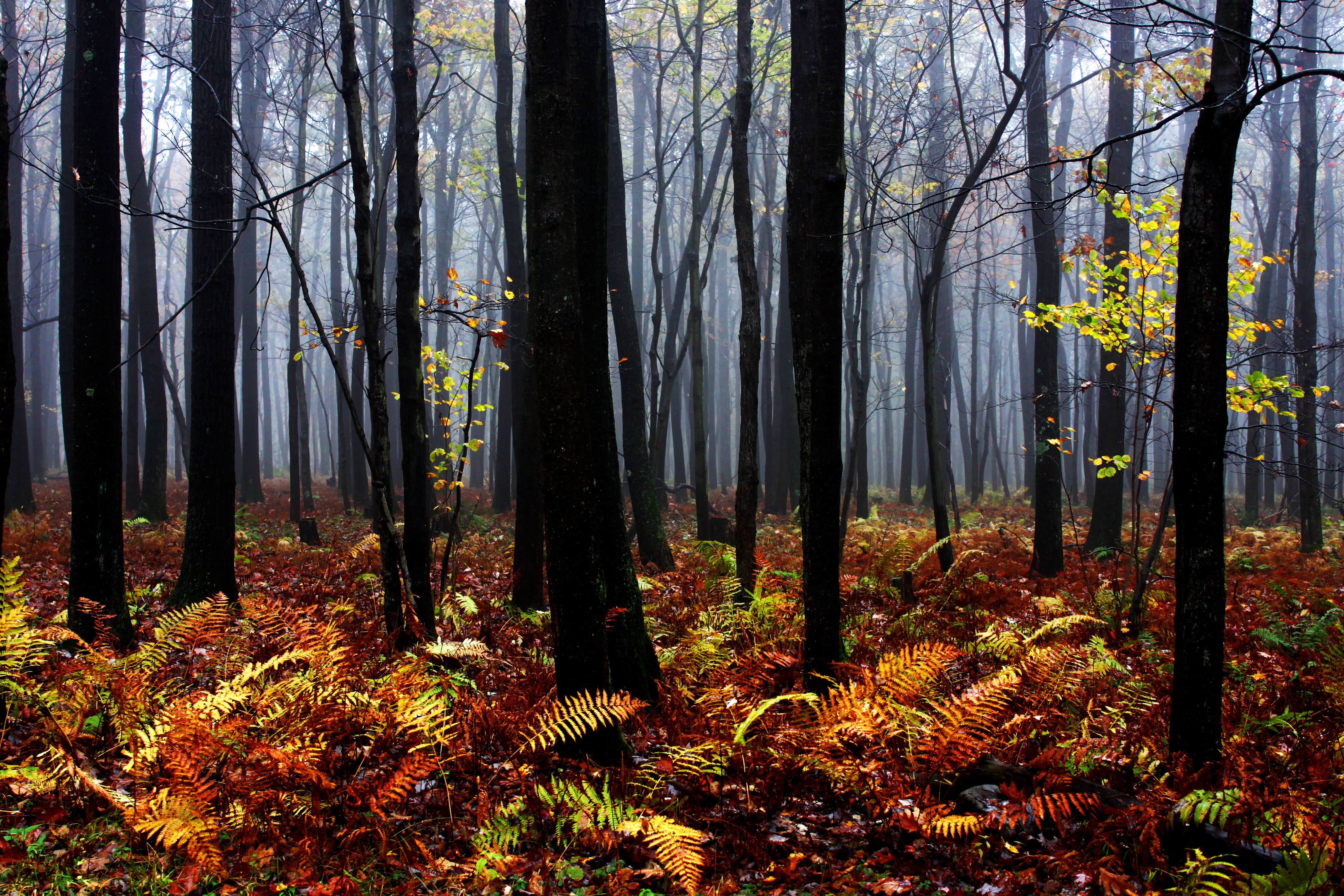
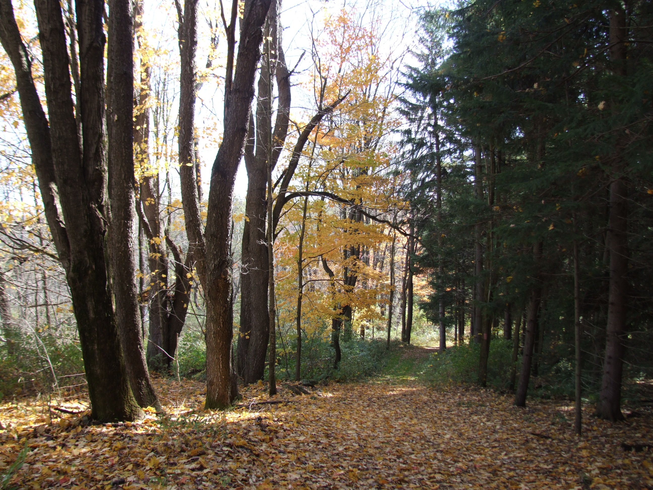
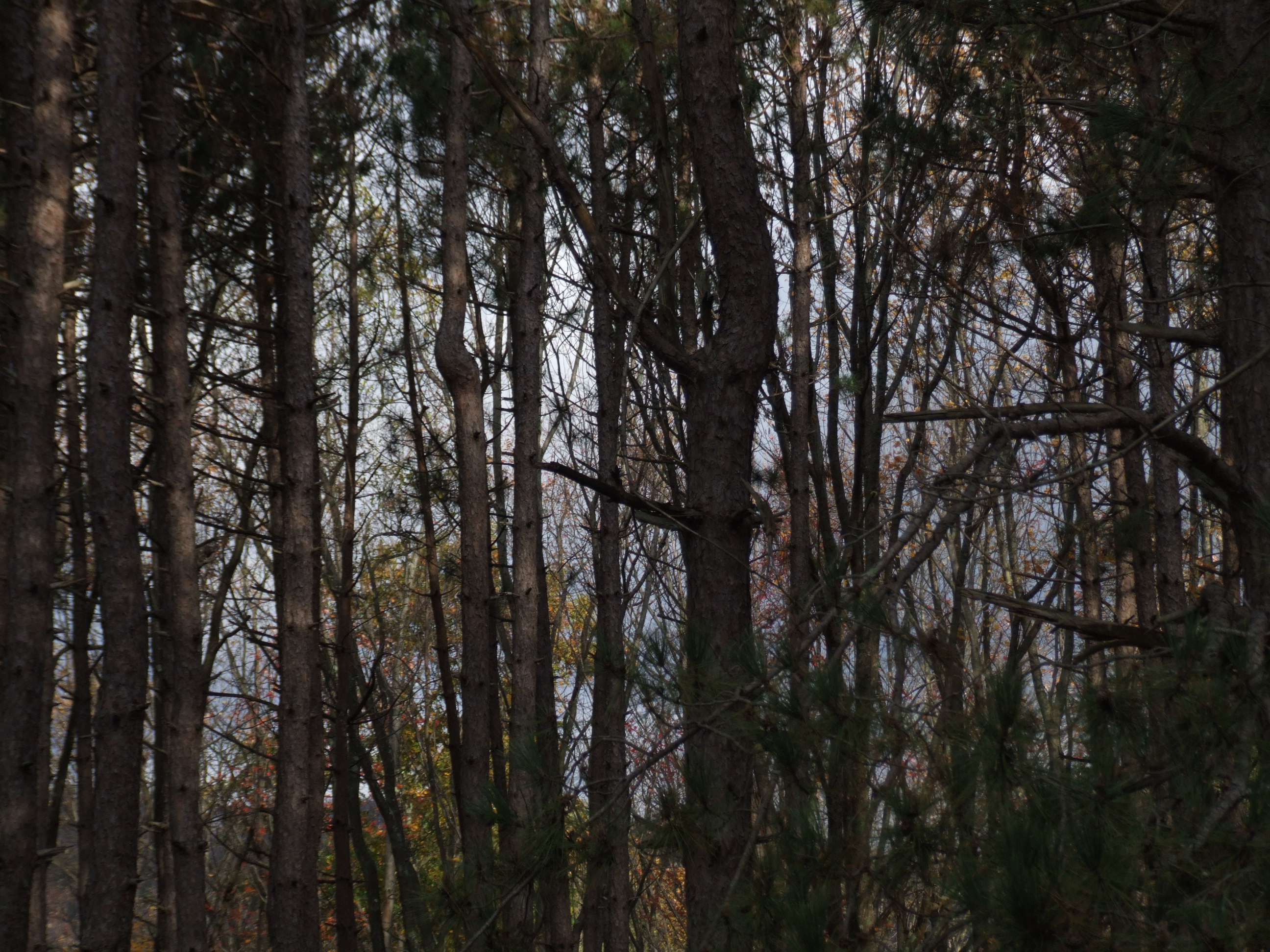
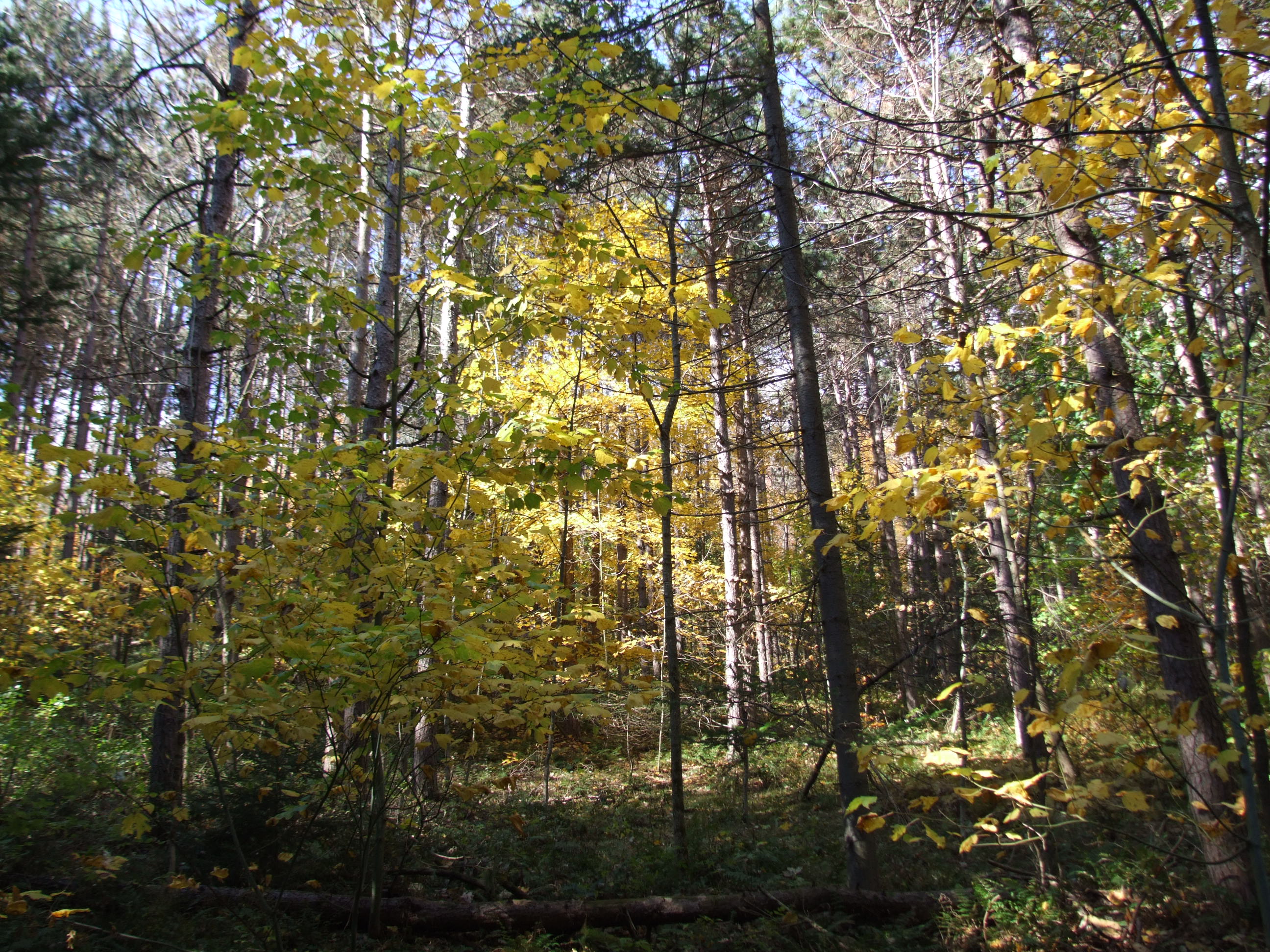
Mysterious Forest
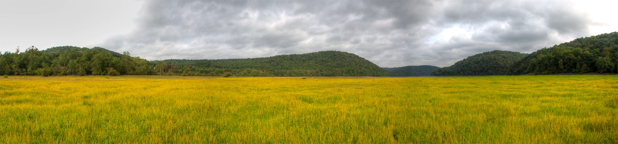
Youghiougheny Reservoir
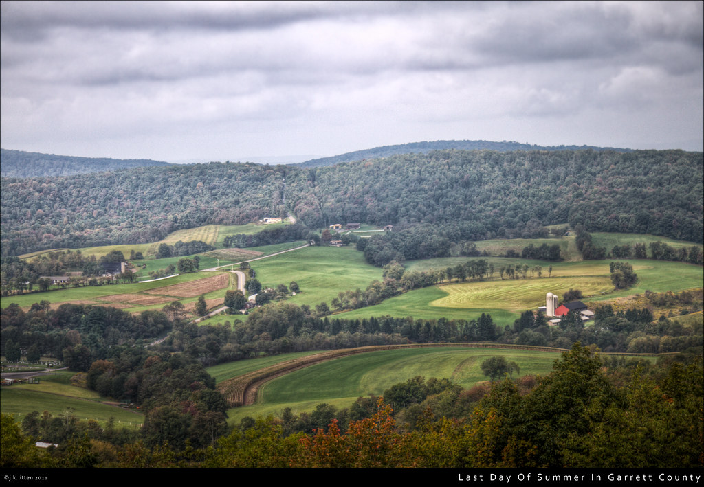
Last Day Of Summer In Garrett County
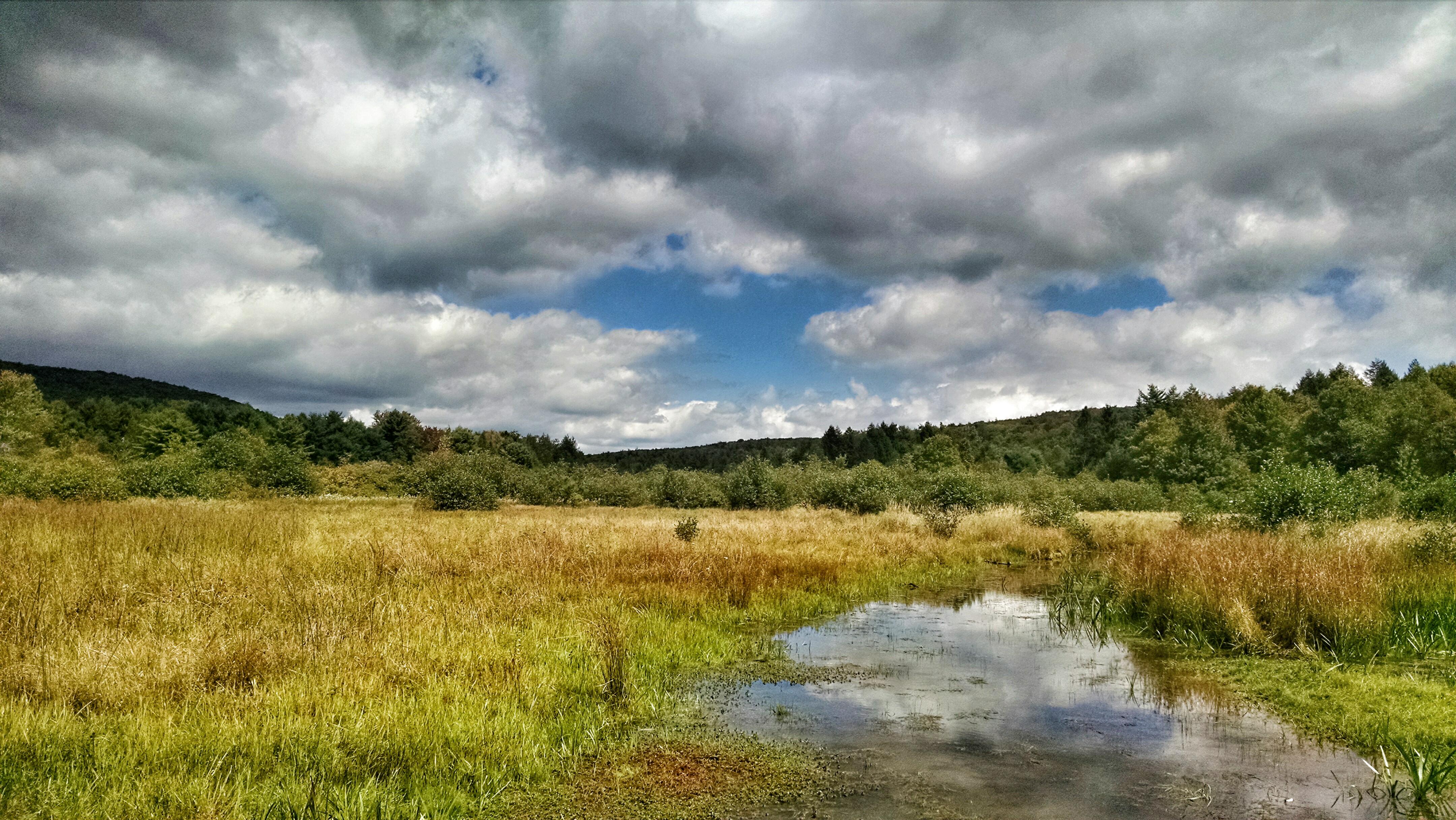
New Germany swamp
2011-10-14 New Germany Park Camping 051
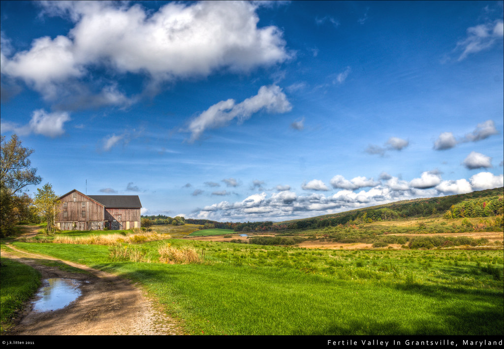
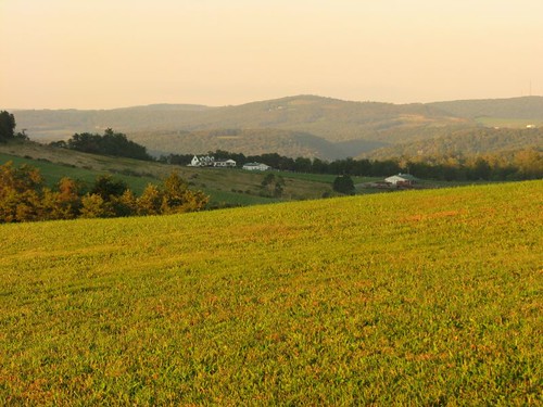
Fertile Valley In Grantsville, Maryland
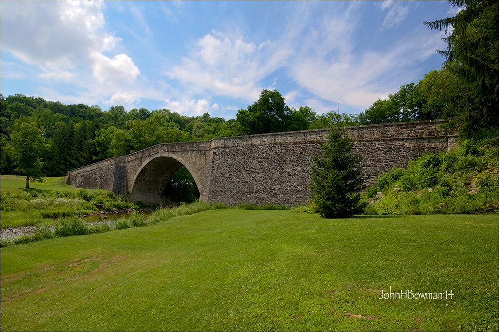
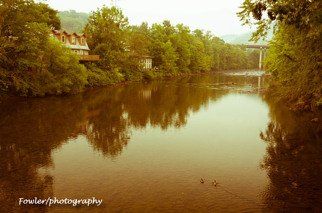
Casselman River Bridge
2011-10-14 New Germany Park Camping 015
MD sunset

Trees along stream bank, Savage River, Maryland
New Germany State Park
Salisbury, PA from Mt. Davis Fire Tower

Tree-lined stream, Savage River, Maryland
youghiogheny river
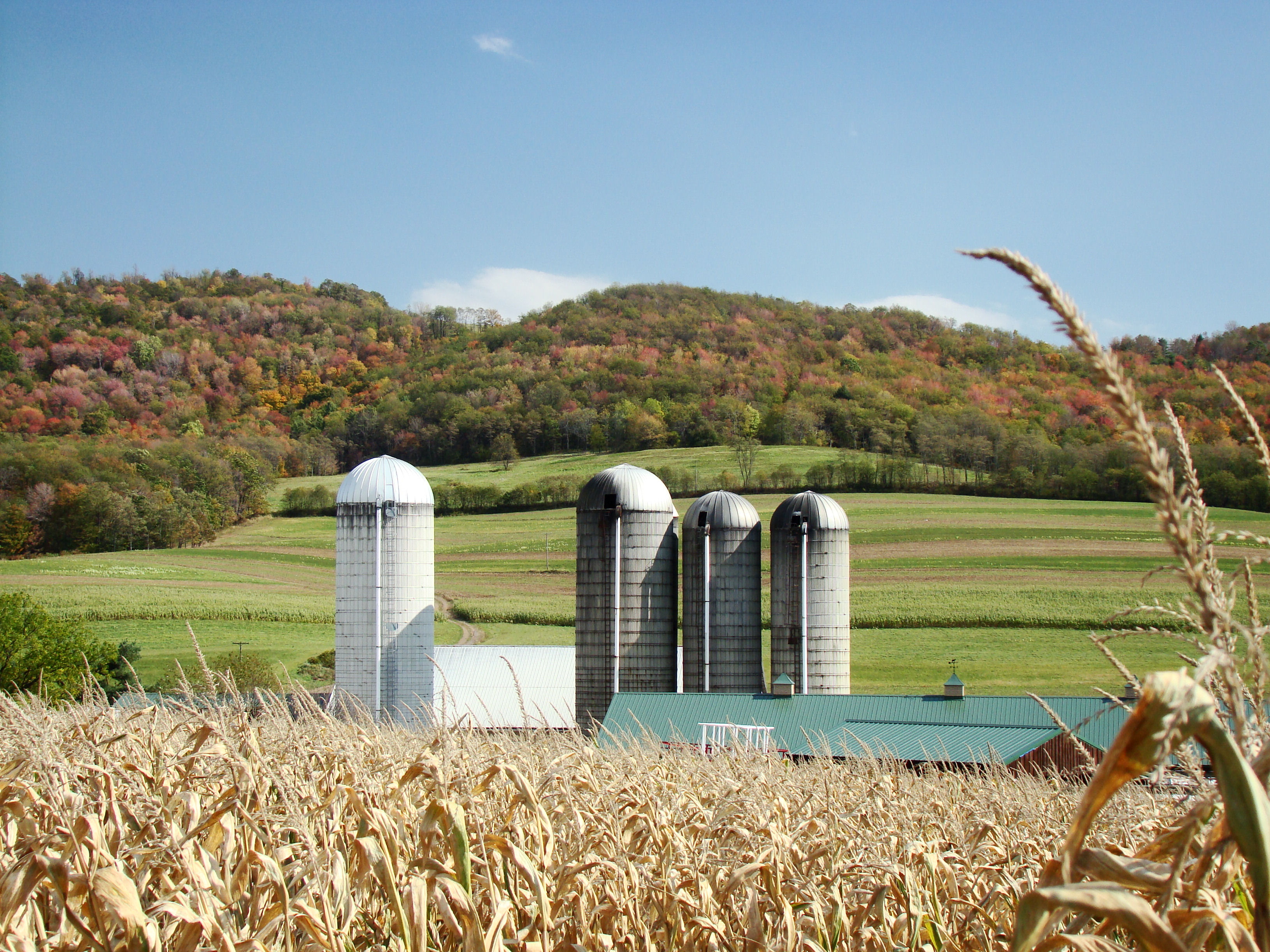
Farm at Corn Maze
2011-10-14 New Germany Park Camping 055

Fast-moving water, Savage River, Maryland

Campsite 39 Driveway Looking Back at Road
Topographic Map of Negro Mountain Church, Grantsville, MD, USA
Find elevation by address:

Places near Negro Mountain Church, Grantsville, MD, USA:
1726 Durst Rd
422 Root Beachy Rd
Keysers Ridge
Bowman Hill Road
706 Zehner Rd
107 Shade Hollow Rd
2294 National Pike
Grantsville
1562 Springs Rd
12, Bittinger
9743 Bittinger Rd
3, Grantsville
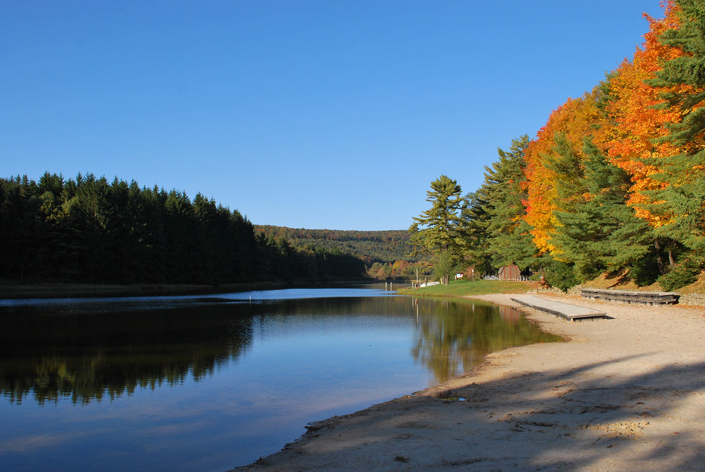
New Germany State Park
5, Accident
McAndrews Hill Rd, Grantsville, MD, USA
Main Street
Accident
64 Meadow Lake Dr
2903 Chestnut Ridge Rd
Garrett County
Recent Searches:
- Elevation of Congressional Dr, Stevensville, MD, USA
- Elevation of Bellview Rd, McLean, VA, USA
- Elevation of Stage Island Rd, Chatham, MA, USA
- Elevation of Shibuya Scramble Crossing, 21 Udagawacho, Shibuya City, Tokyo -, Japan
- Elevation of Jadagoniai, Kaunas District Municipality, Lithuania
- Elevation of Pagonija rock, Kranto 7-oji g. 8"N, Kaunas, Lithuania
- Elevation of Co Rd 87, Jamestown, CO, USA
- Elevation of Tenjo, Cundinamarca, Colombia
- Elevation of Côte-des-Neiges, Montreal, QC H4A 3J6, Canada
- Elevation of Bobcat Dr, Helena, MT, USA