Elevation of Bowman Hill Road, Bowman Hill Rd, Maryland, USA
Location: United States > Maryland > Garrett County > 5, Accident >
Longitude: -79.263711
Latitude: 39.6430869
Elevation: 877m / 2877feet
Barometric Pressure: 91KPa
Elevation Map:
Satellite Map:
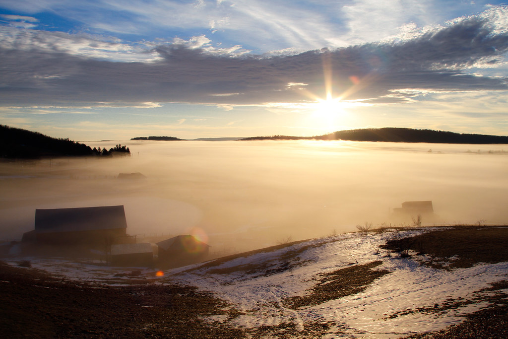
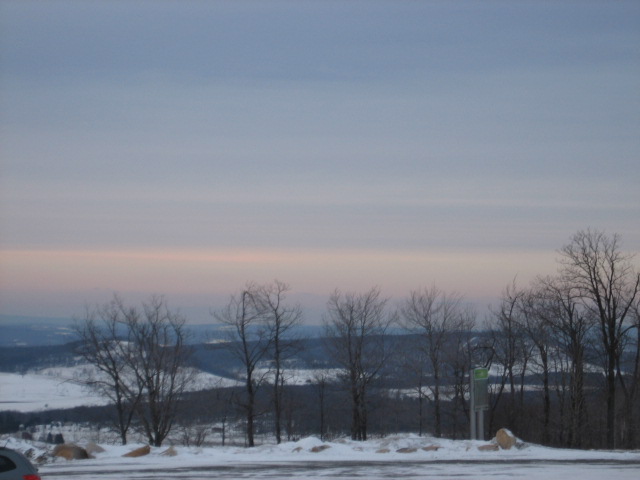
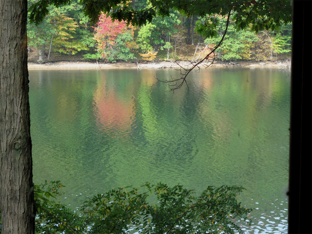
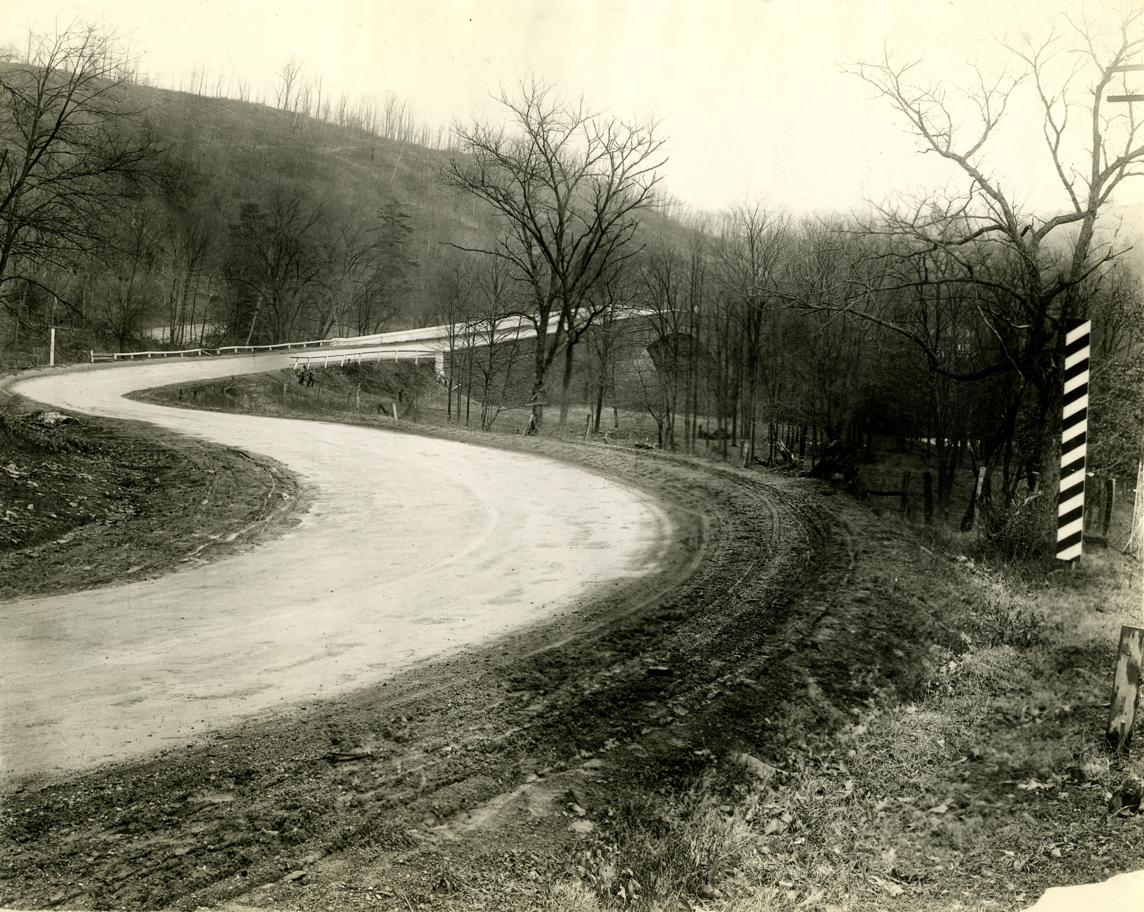
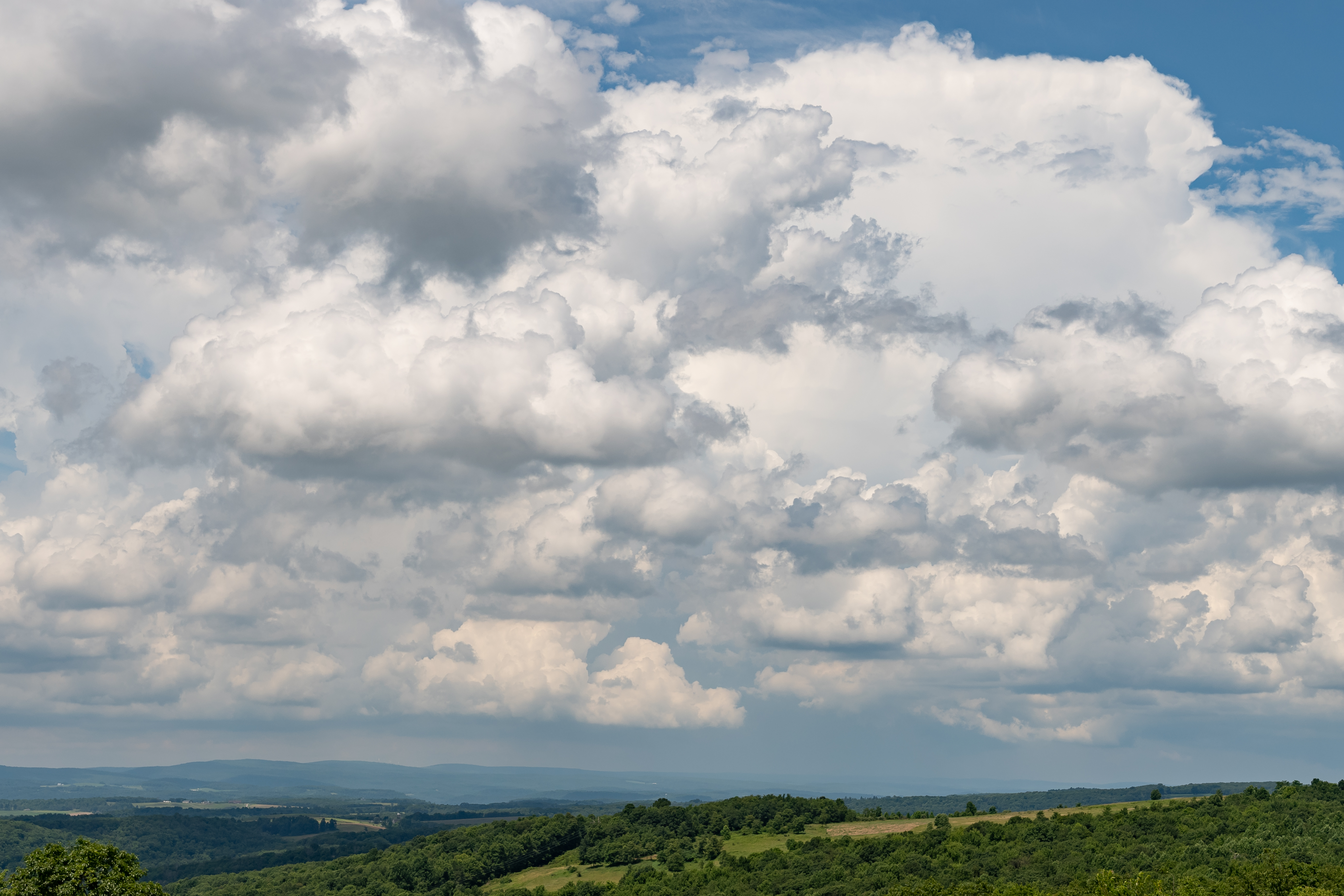
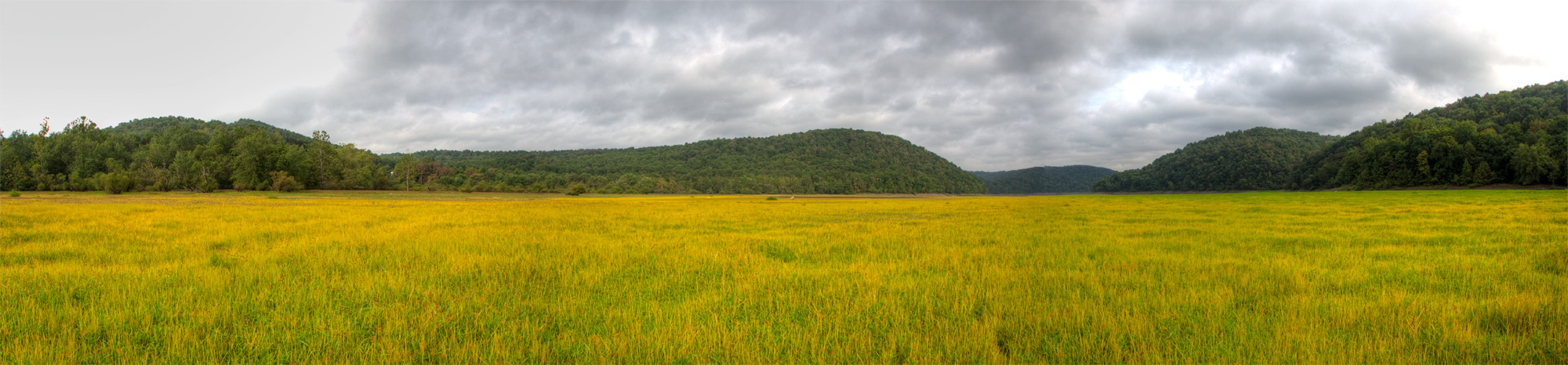
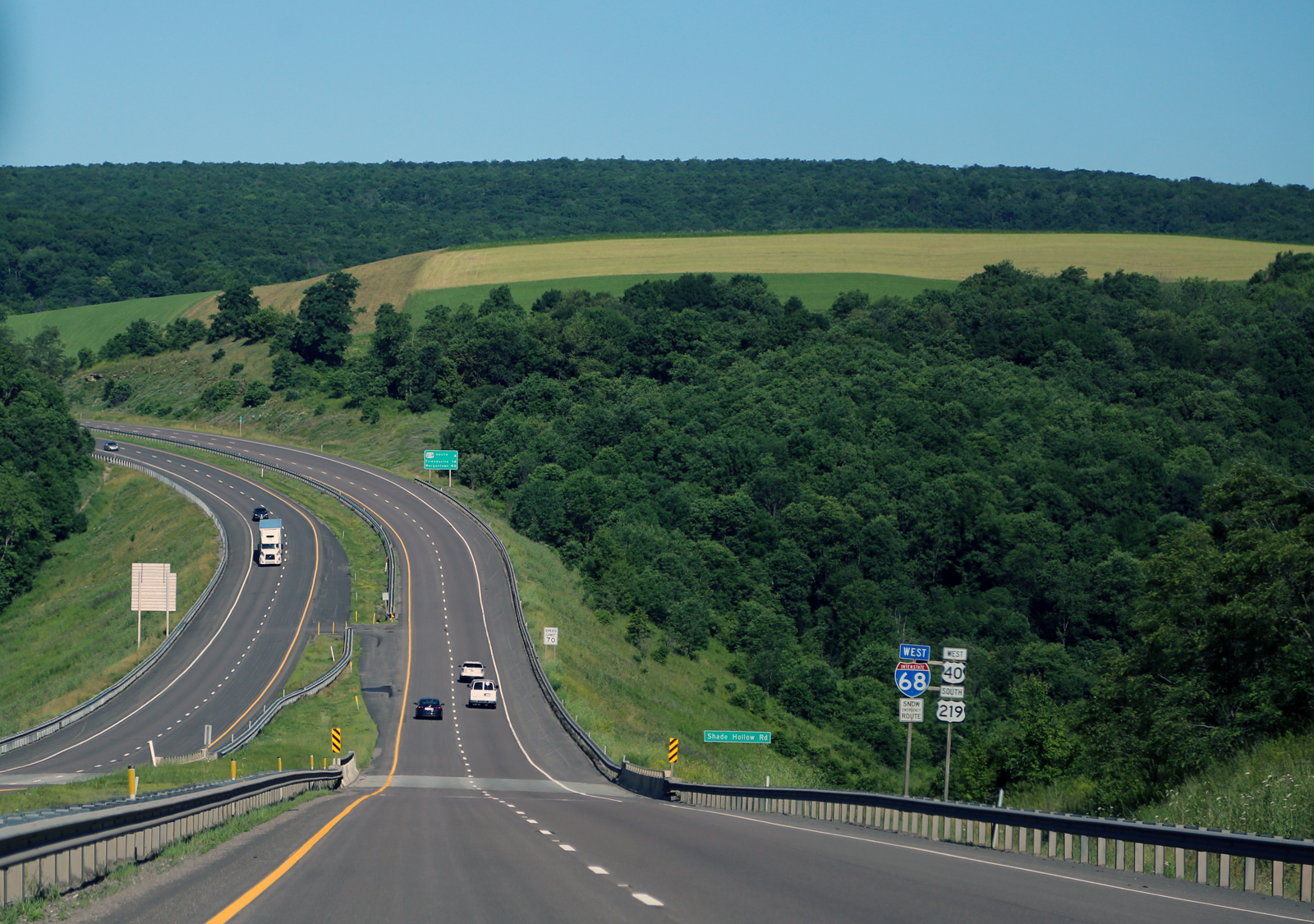
Related Photos:

Deep Creek Lavender Farm

Deep Creek Lavender Farm
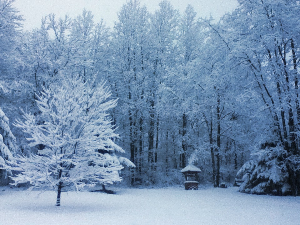
Front Yard View

"Totem Caterpilliar"

Casselman River Bridge-View of the Arch
Casselman River Bridge-Deck View

Mountain Joy

Deep Creek Lake SP ~ overlook spot
Deep Creek Lake SP

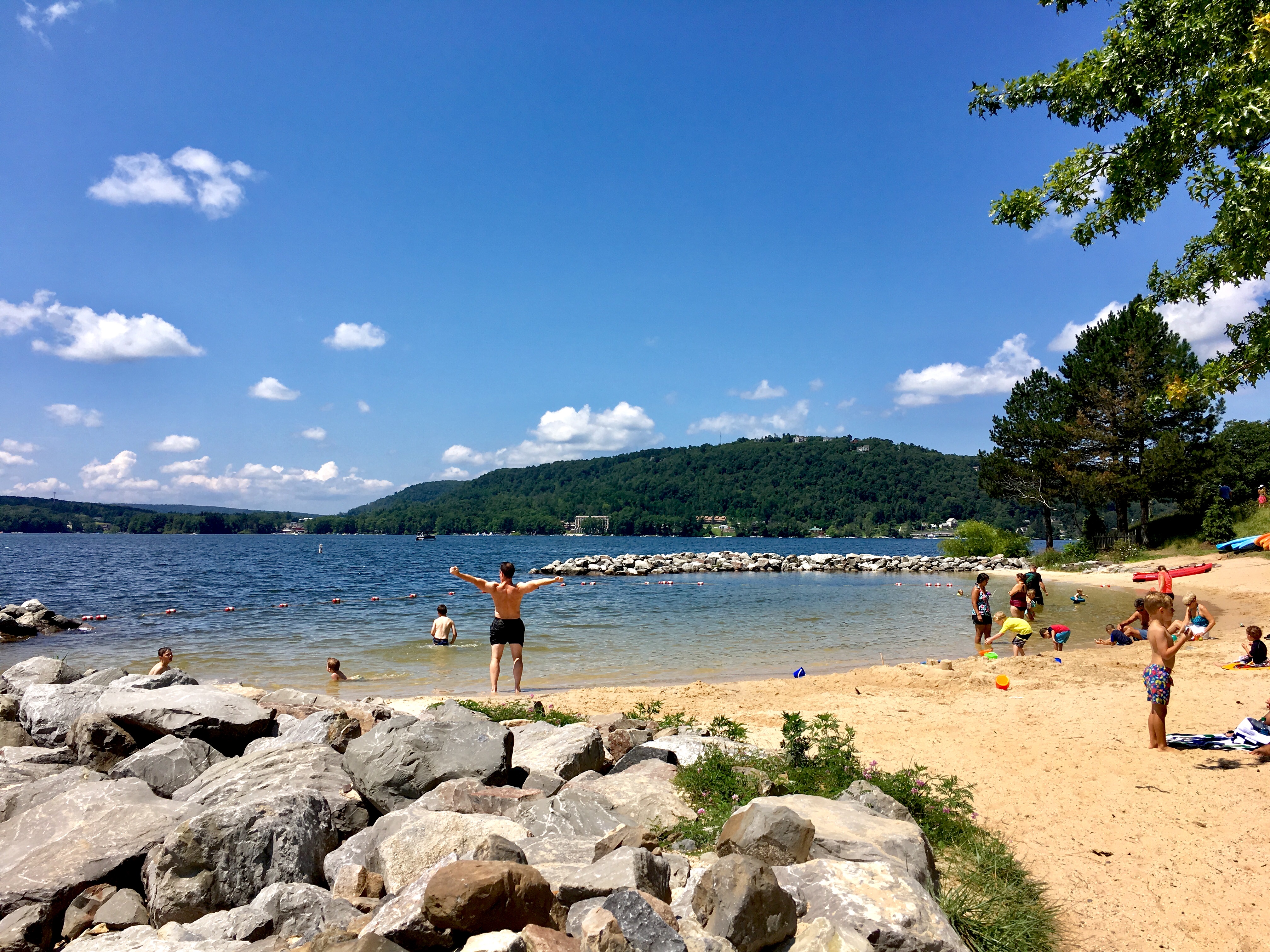
Deep Creek Lake view

Mountain Joy at night

July 9, 2018 (Instagram)
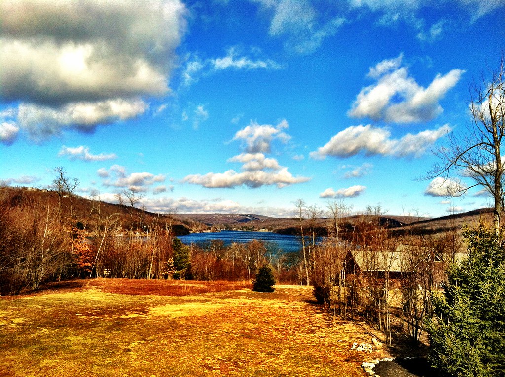
Morning View from the house
Sunday Morning
View from Wisp Mountain, WV
Deep Creek Lake
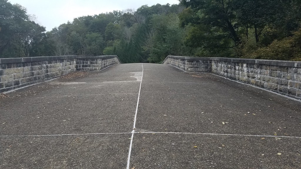
West approach to Casselman River Bridge
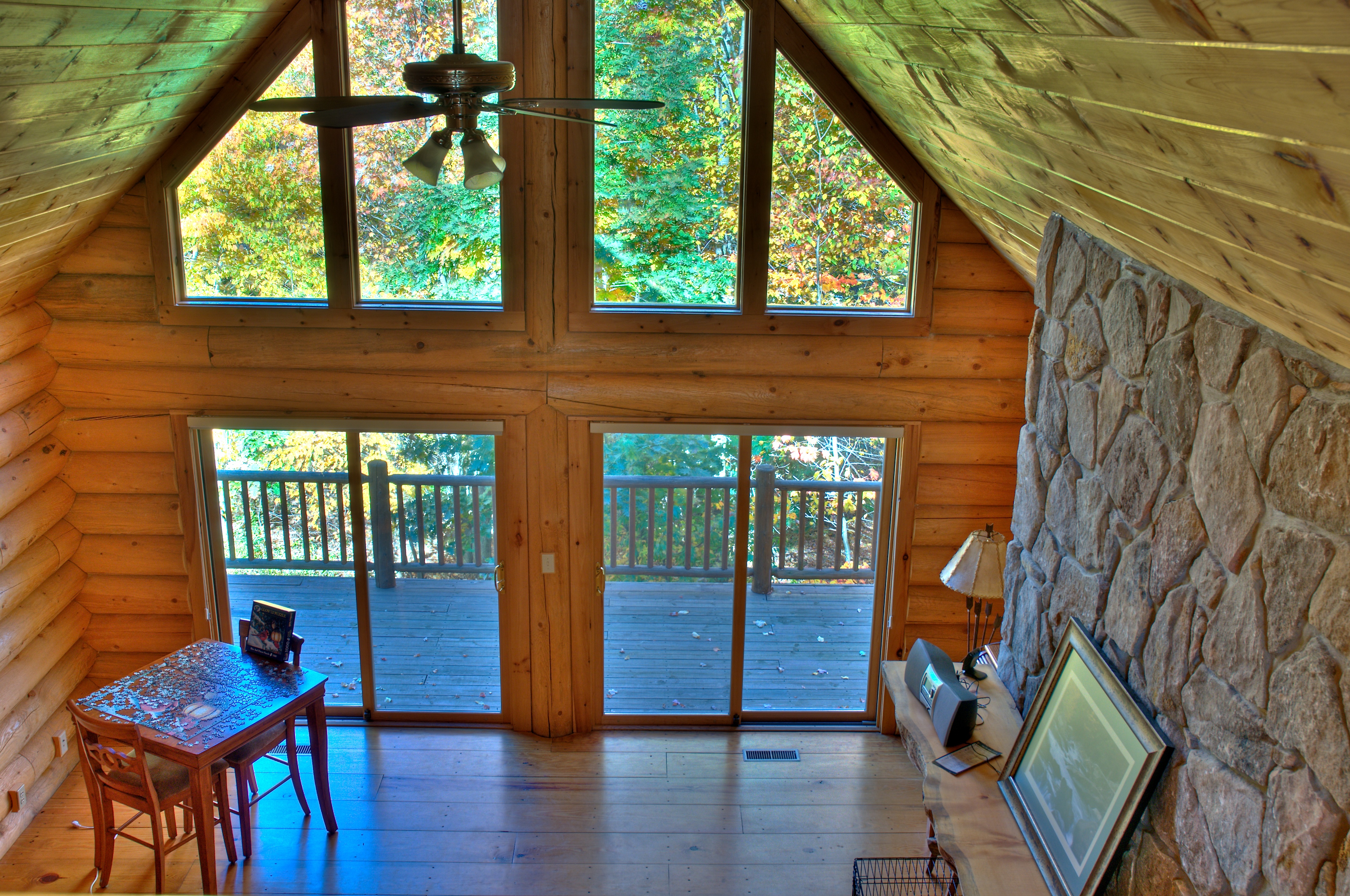
View from loft HDR
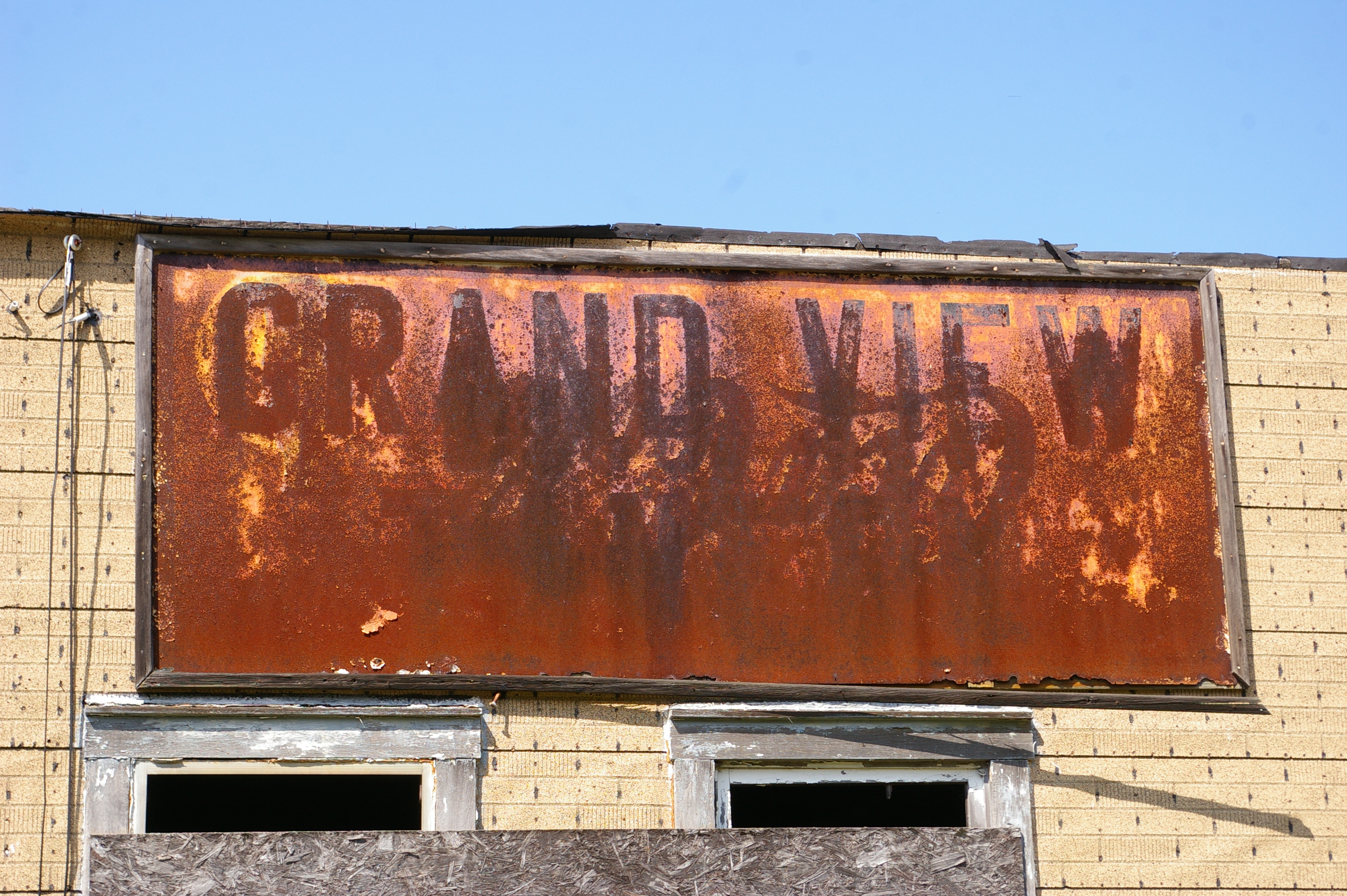
Grand View Tavern, Maryland
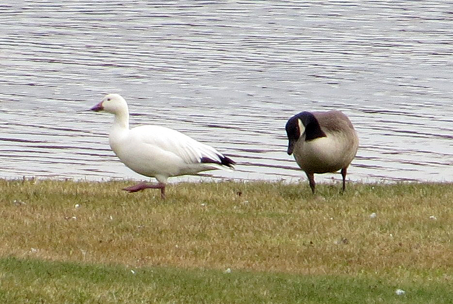
Snow Goose
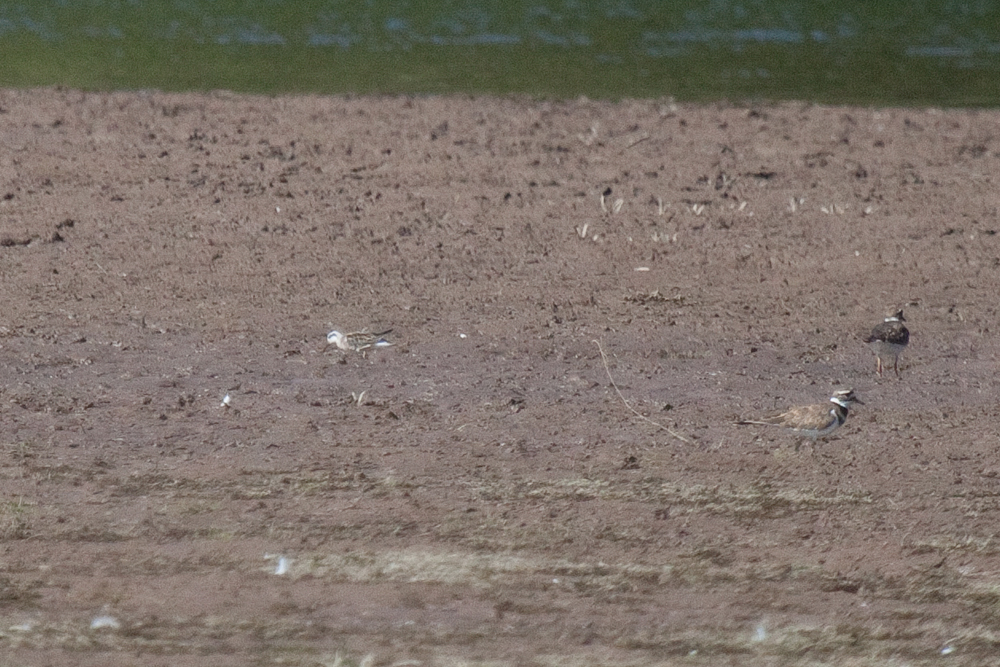
Red-necked Phalarope

Accident MD ~ Sunflower sliding
DSC_1959.jpg

DSC00371-2

Bear Creek -- Garrett County, Maryland

Long road ahead
Youghiougheny Reservoir

Barn in the Woods

SOPH & ME
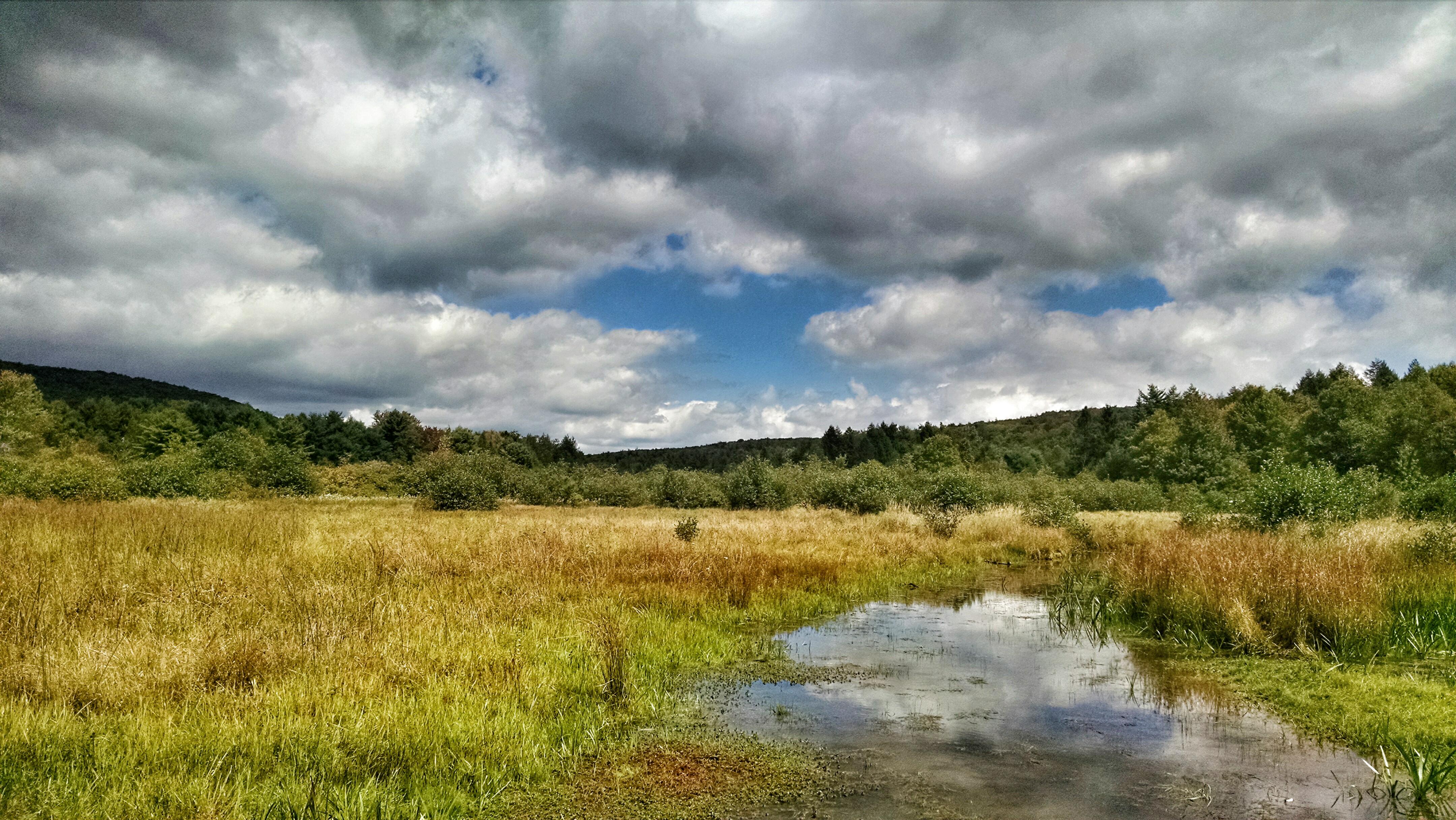
New Germany swamp

youghiogheny river

House on the hill

Black Diamond
Hillside Field — Garrett County, Maryland

Youghiogheny River, looking downstream - Friendsville, MD
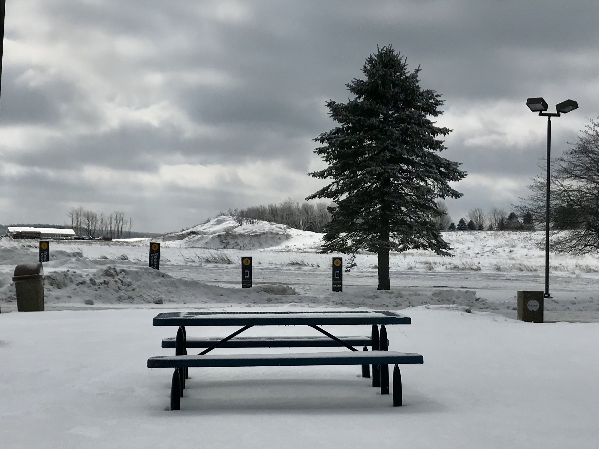
picnic table at Keysers Ridge, MD

Winter Weary

2007-05-26_013

McHenry MD ~ Sunflower sunshine
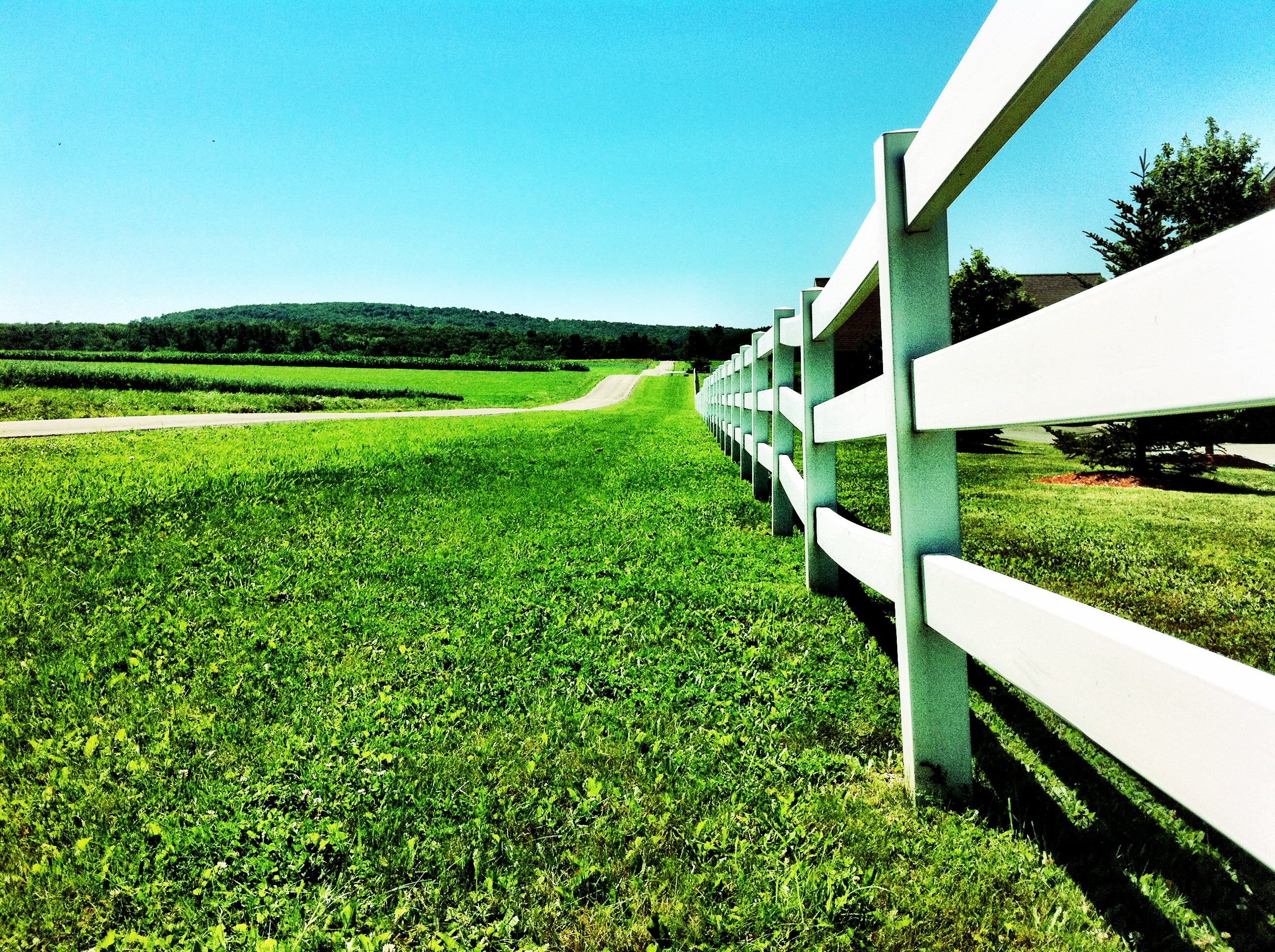
White picket fence

Soft Water
Topographic Map of Bowman Hill Road, Bowman Hill Rd, Maryland, USA
Find elevation by address:

Places near Bowman Hill Road, Bowman Hill Rd, Maryland, USA:
Negro Mountain Church
5, Accident
1726 Durst Rd
Keysers Ridge
Main Street
Accident
2294 National Pike
9743 Bittinger Rd
422 Root Beachy Rd
12, Bittinger
4838 Bear Creek Rd
Garrett County
Negro Mountain Road
706 Zehner Rd
761 Limpopo Ln
107 Shade Hollow Rd
254 Klotz Farm Dr
18 Grove Rd, Friendsville, MD, USA
Mchenry
3761 Friendsville Addison Rd
Recent Searches:
- Elevation of Congressional Dr, Stevensville, MD, USA
- Elevation of Bellview Rd, McLean, VA, USA
- Elevation of Stage Island Rd, Chatham, MA, USA
- Elevation of Shibuya Scramble Crossing, 21 Udagawacho, Shibuya City, Tokyo -, Japan
- Elevation of Jadagoniai, Kaunas District Municipality, Lithuania
- Elevation of Pagonija rock, Kranto 7-oji g. 8"N, Kaunas, Lithuania
- Elevation of Co Rd 87, Jamestown, CO, USA
- Elevation of Tenjo, Cundinamarca, Colombia
- Elevation of Côte-des-Neiges, Montreal, QC H4A 3J6, Canada
- Elevation of Bobcat Dr, Helena, MT, USA