Elevation of Durst Rd, Grantsville, MD, USA
Location: United States > Maryland > Garrett County > 3, Grantsville > Grantsville >
Longitude: -79.213598
Latitude: 39.6608159
Elevation: 752m / 2467feet
Barometric Pressure: 93KPa
Elevation Map:
Satellite Map:
Related Photos:

Deep Creek Lavender Farm
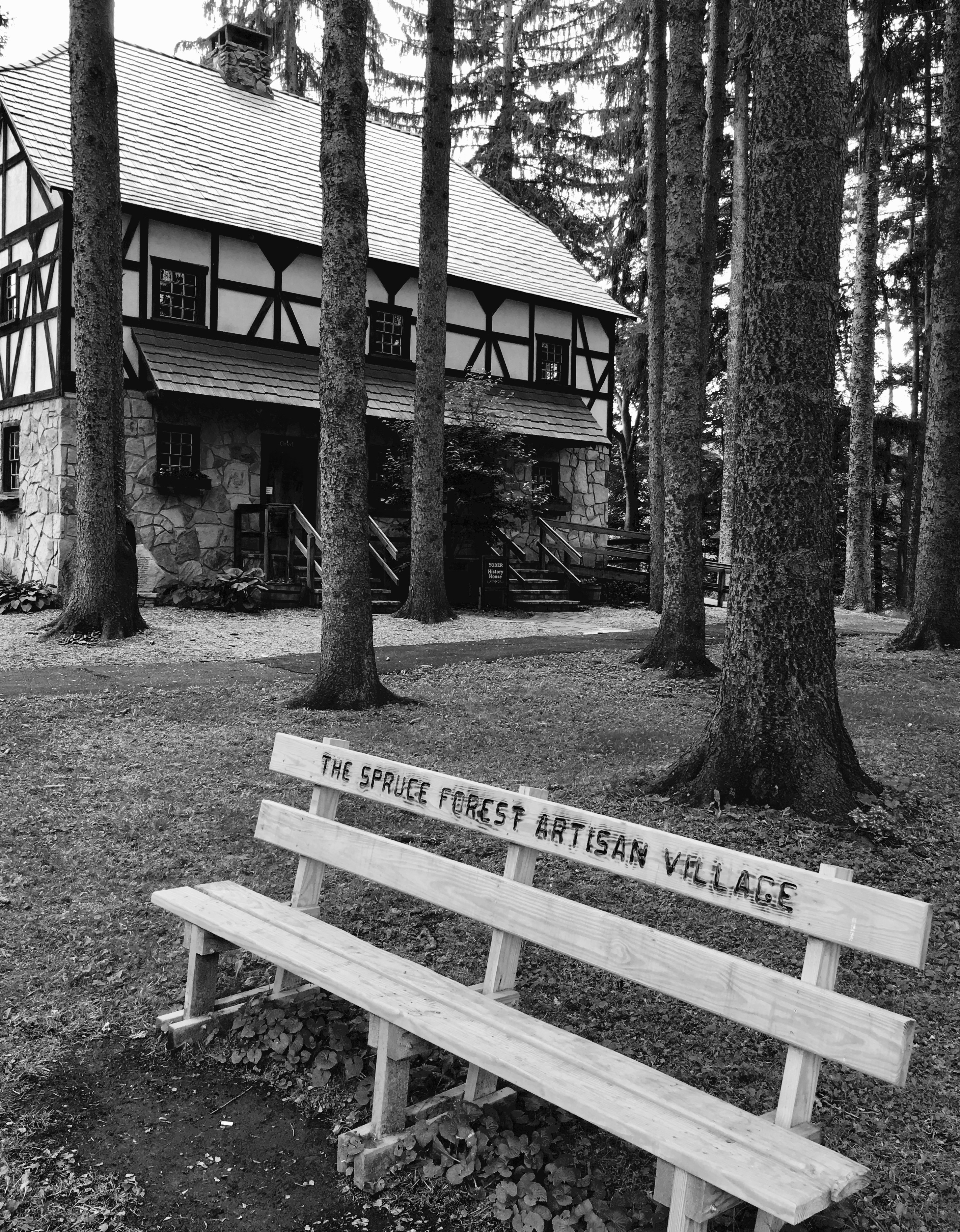
Spruce Forest Artisan Village

Atop DV Rocks

Deep Creek Lavender Farm
View SE from Mt. Davis Fire Tower

Just west of Turner’s Curve before grading

West approach to Casselman River Bridge

East approach to Casselman River Bridge

Castleman Bridge - Fisheye View
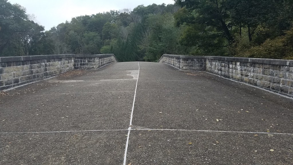
Casselman River Bridge-Deck View

Red-necked Phalarope

Red-necked Phalarope

View west toward Laurel Ridge from Mt. Davis Fire Tower

Red-necked Phalarope

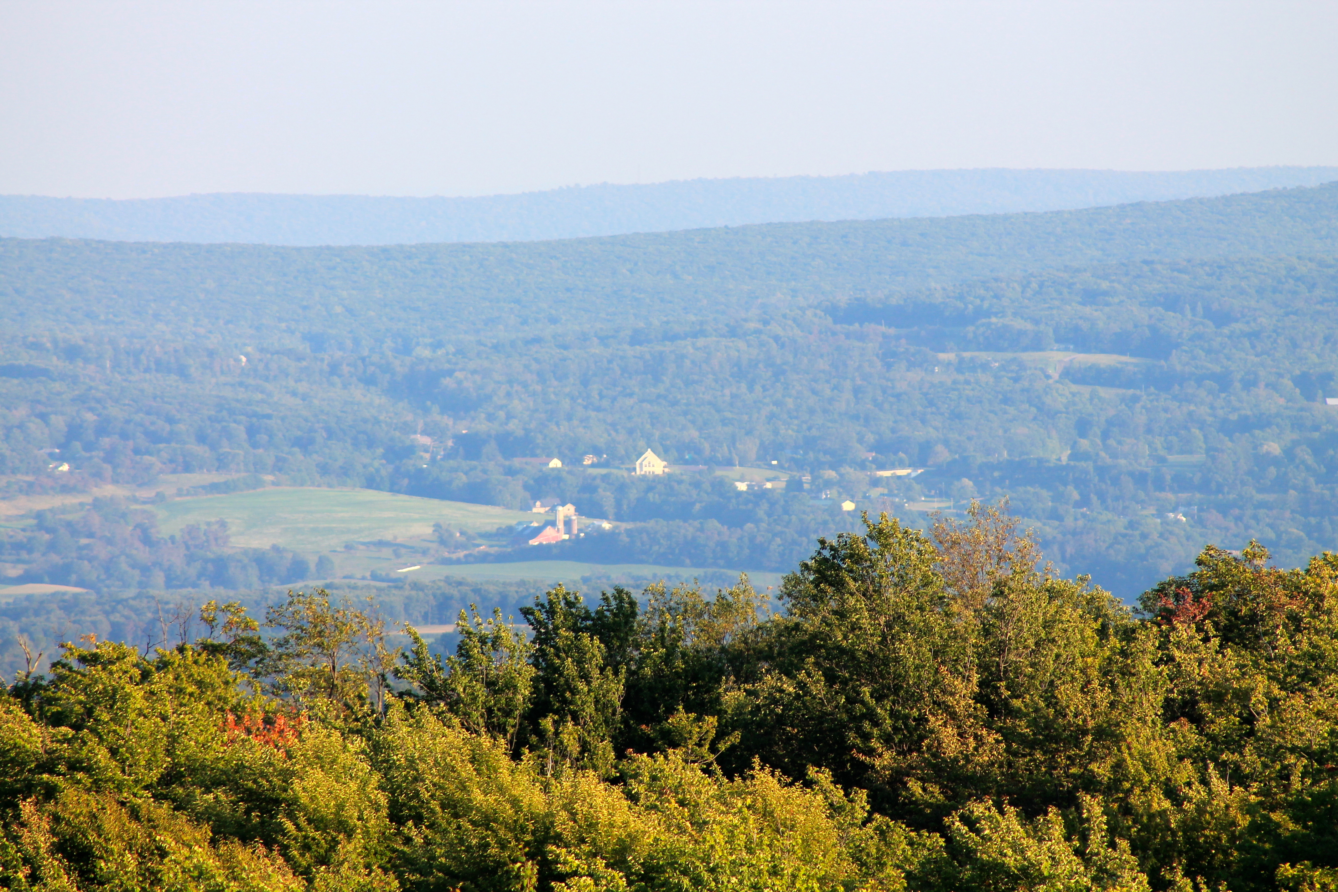
View toward Maryland from Mt. Davis Fire Tower

View NE from Mt. Davis Fire Tower

Casselman River Bridge-View of the Arch

View from the Cassleman Bridge

View east from Mt. Davis Fire Tower

Grand View Tavern, Maryland
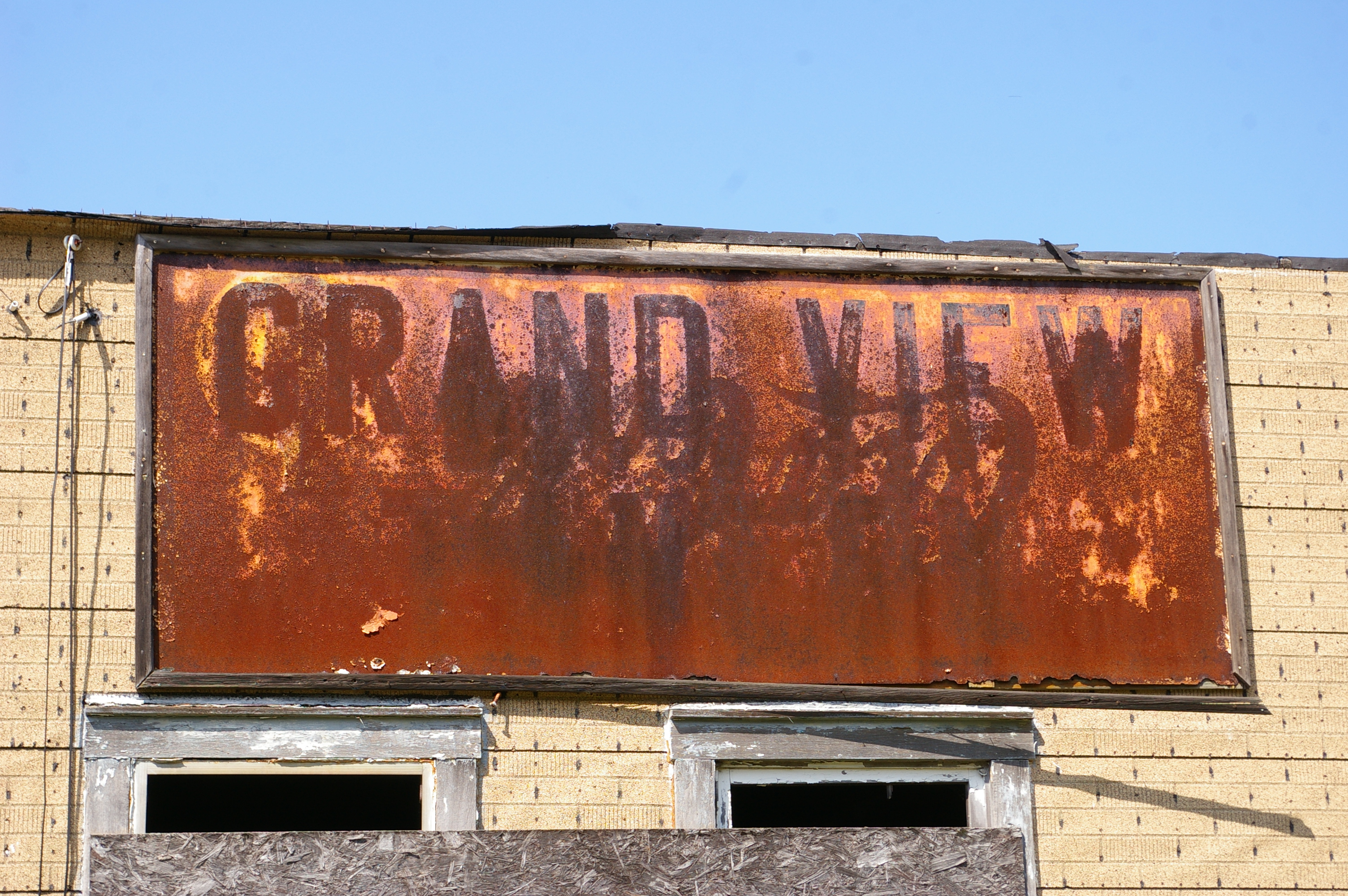
Grand View Tavern, Maryland

Mountain Morning Mist - Explore 2-12

Bear Creek -- Garrett County, Maryland
Savage Mountain B-52 Broken Arrow Crash Site

Cassleman River Bridge

Cassleman River Bridge

Cassleman River Bridge

Mt. Davis

Youghiogheny River Overlook

James Drane House

Last Day Of Summer In Garrett County

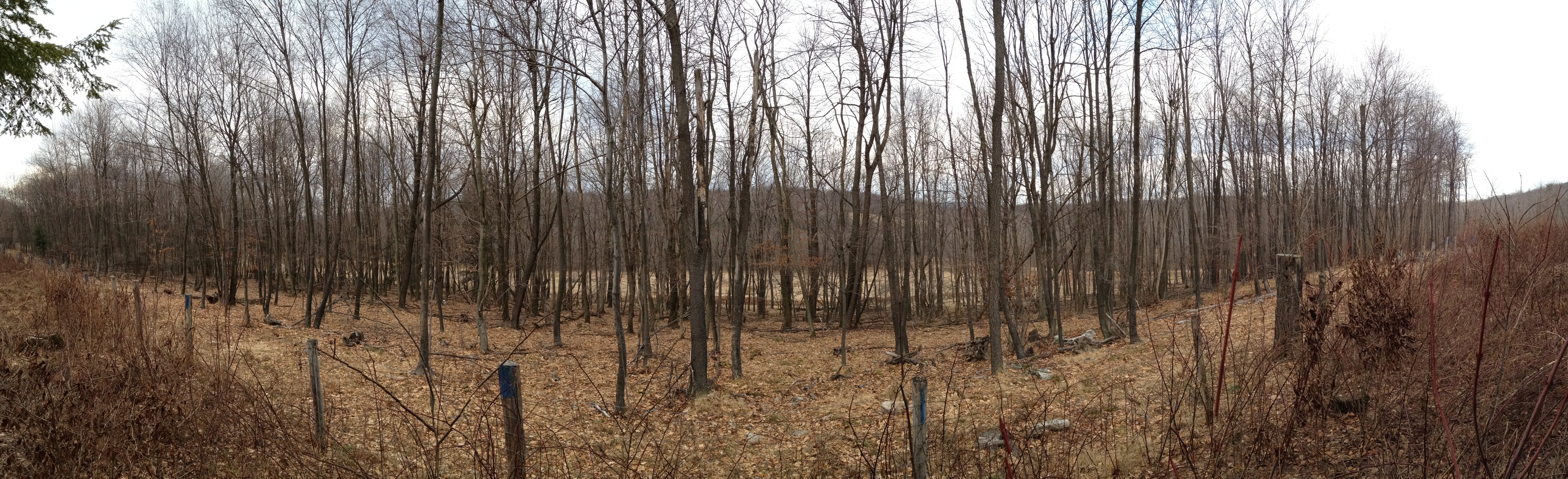
Mysterious Forest

New Germany swamp

James Drane House

Kaese Mill

James Drane House

picnic table at Keysers Ridge, MD
20160706 023137 1SL6
Topographic Map of Durst Rd, Grantsville, MD, USA
Find elevation by address:

Places near Durst Rd, Grantsville, MD, USA:
Negro Mountain Church
422 Root Beachy Rd
Keysers Ridge
107 Shade Hollow Rd
Bowman Hill Road
706 Zehner Rd
Grantsville
2294 National Pike
12, Bittinger
1562 Springs Rd
3, Grantsville
9743 Bittinger Rd
New Germany State Park
McAndrews Hill Rd, Grantsville, MD, USA
5, Accident
64 Meadow Lake Dr
Main Street
Accident
2903 Chestnut Ridge Rd
Garrett County
Recent Searches:
- Elevation of Congressional Dr, Stevensville, MD, USA
- Elevation of Bellview Rd, McLean, VA, USA
- Elevation of Stage Island Rd, Chatham, MA, USA
- Elevation of Shibuya Scramble Crossing, 21 Udagawacho, Shibuya City, Tokyo -, Japan
- Elevation of Jadagoniai, Kaunas District Municipality, Lithuania
- Elevation of Pagonija rock, Kranto 7-oji g. 8"N, Kaunas, Lithuania
- Elevation of Co Rd 87, Jamestown, CO, USA
- Elevation of Tenjo, Cundinamarca, Colombia
- Elevation of Côte-des-Neiges, Montreal, QC H4A 3J6, Canada
- Elevation of Bobcat Dr, Helena, MT, USA