Elevation of Garrett County, MD, USA
Location: United States > Maryland >
Longitude: -79.290213
Latitude: 39.5681243
Elevation: 822m / 2697feet
Barometric Pressure: 92KPa
Elevation Map:
Satellite Map:
Related Photos:
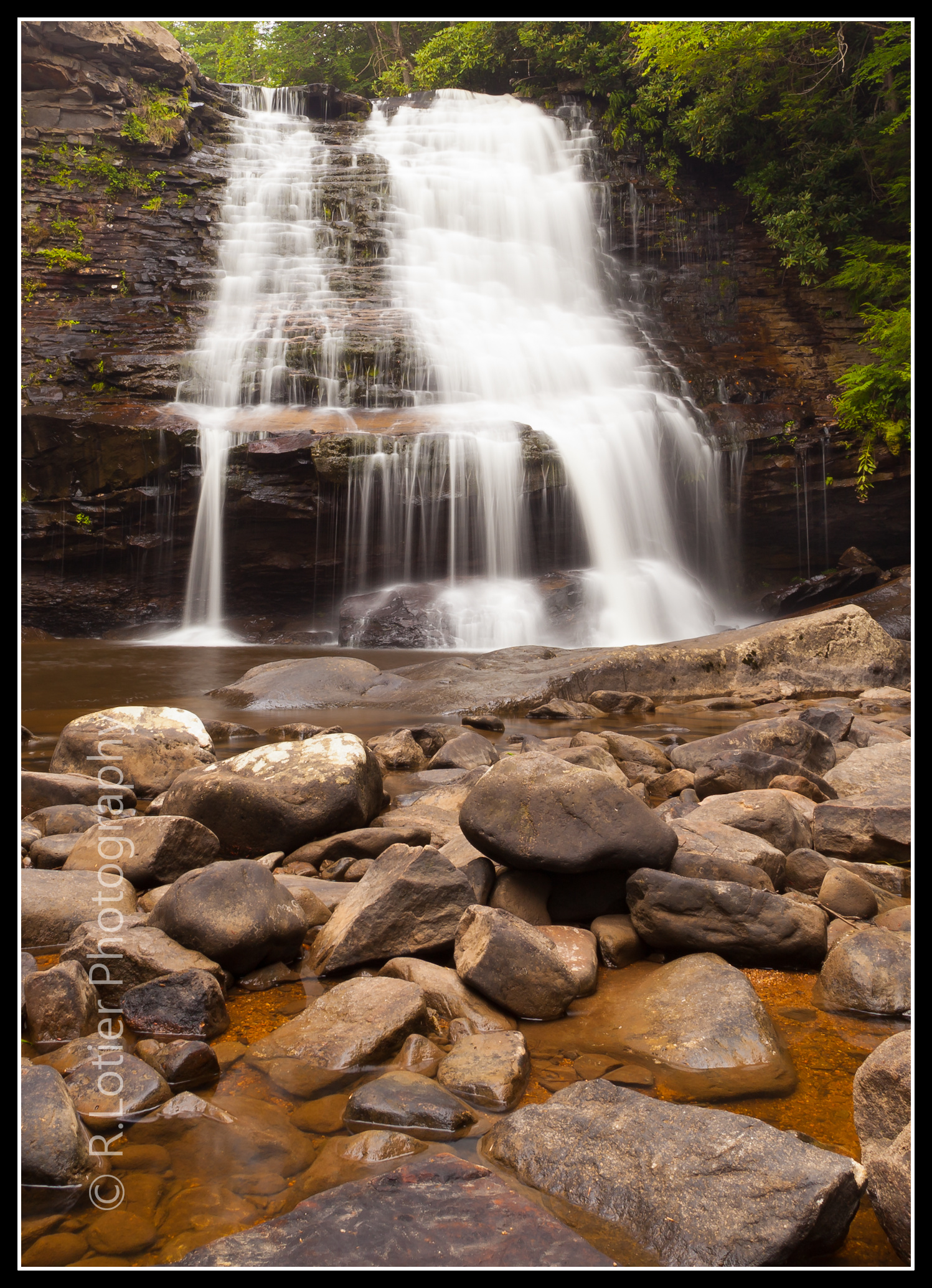
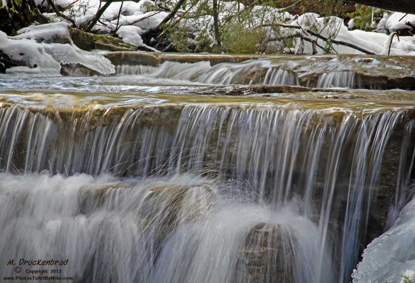
Muddy Creek Falls (View on black,I.Q. is much better)
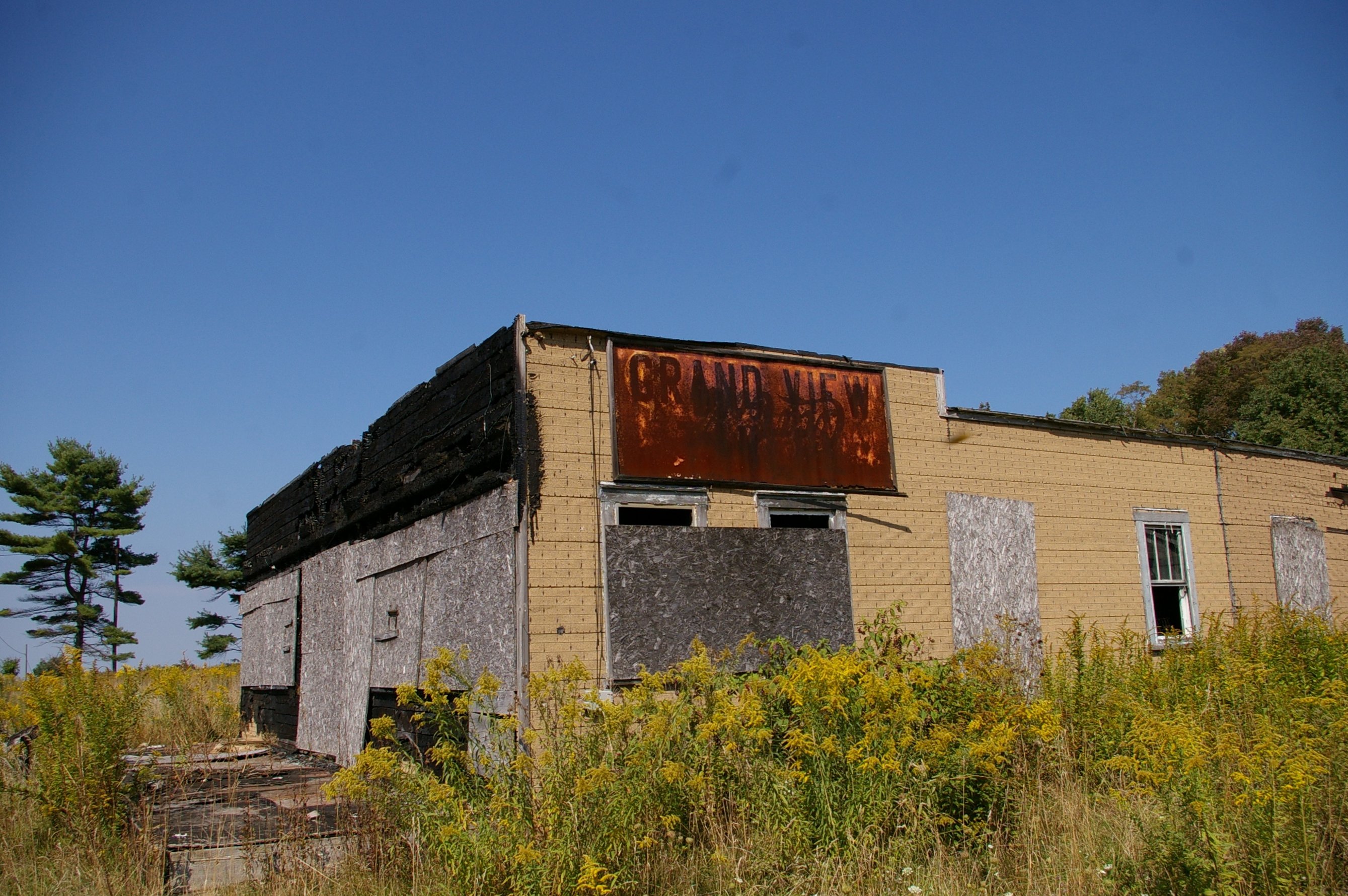
Grand View Tavern, Maryland

Grand View Tavern, Maryland
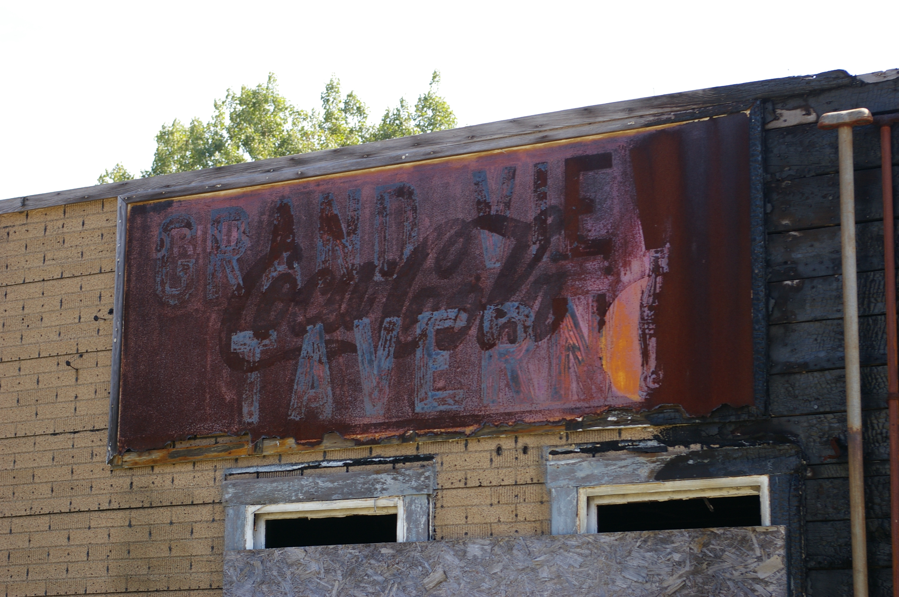
Grand View Tavern, Maryland
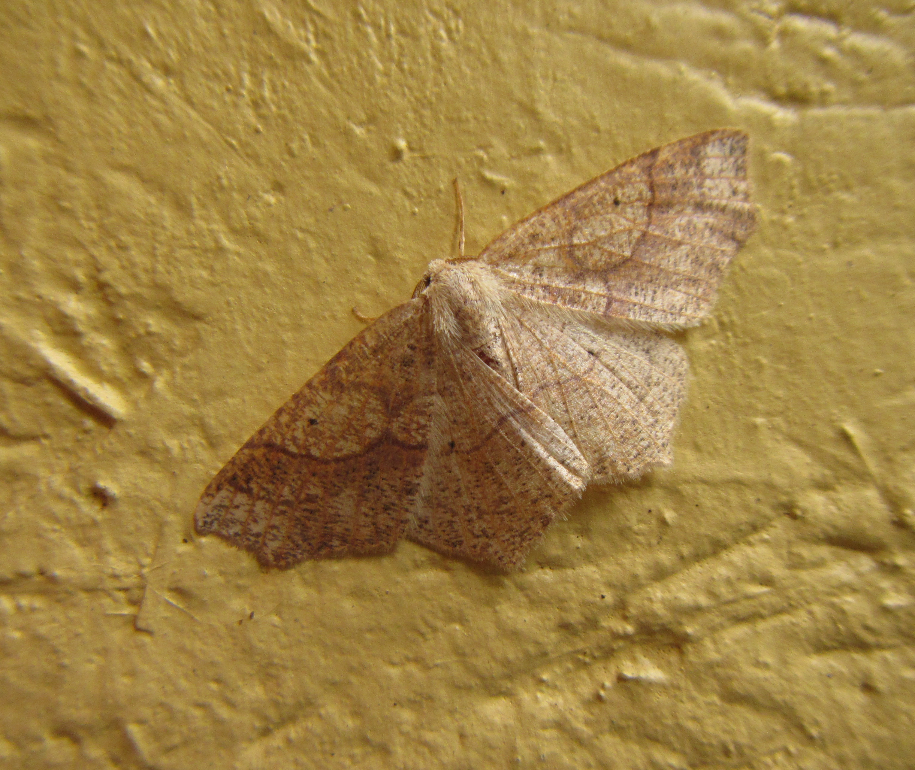
Hemlock looper
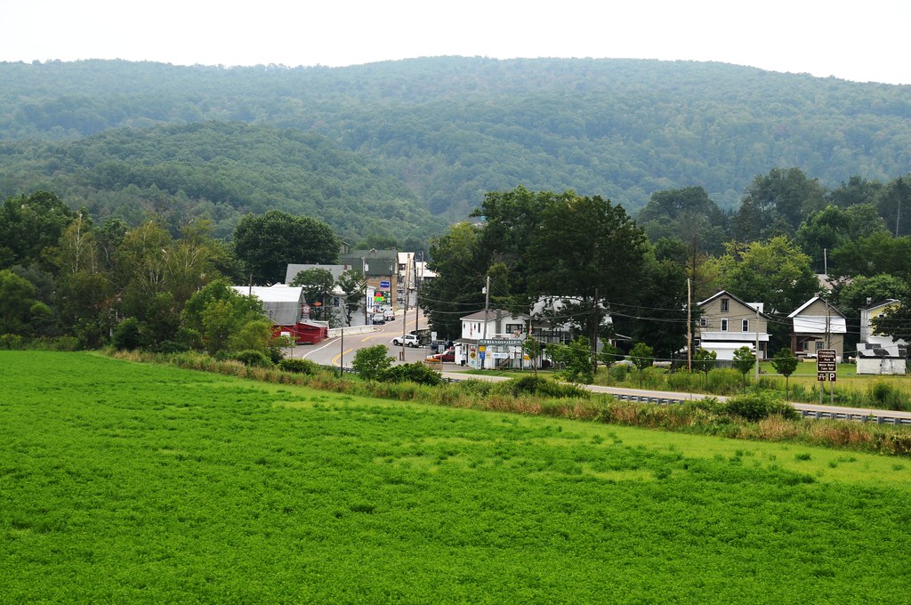
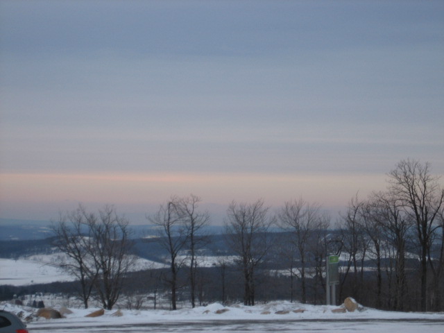
View from just outside of town
Frosting on the Rocks
Morning View from the house
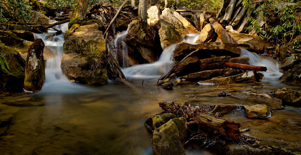
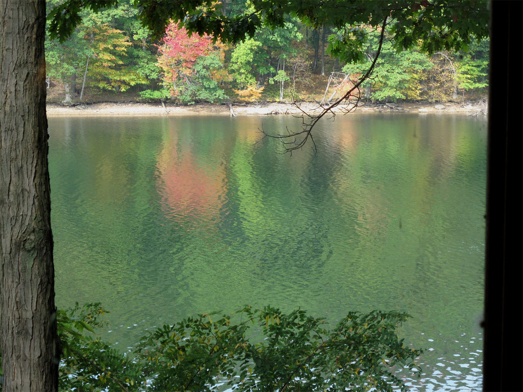
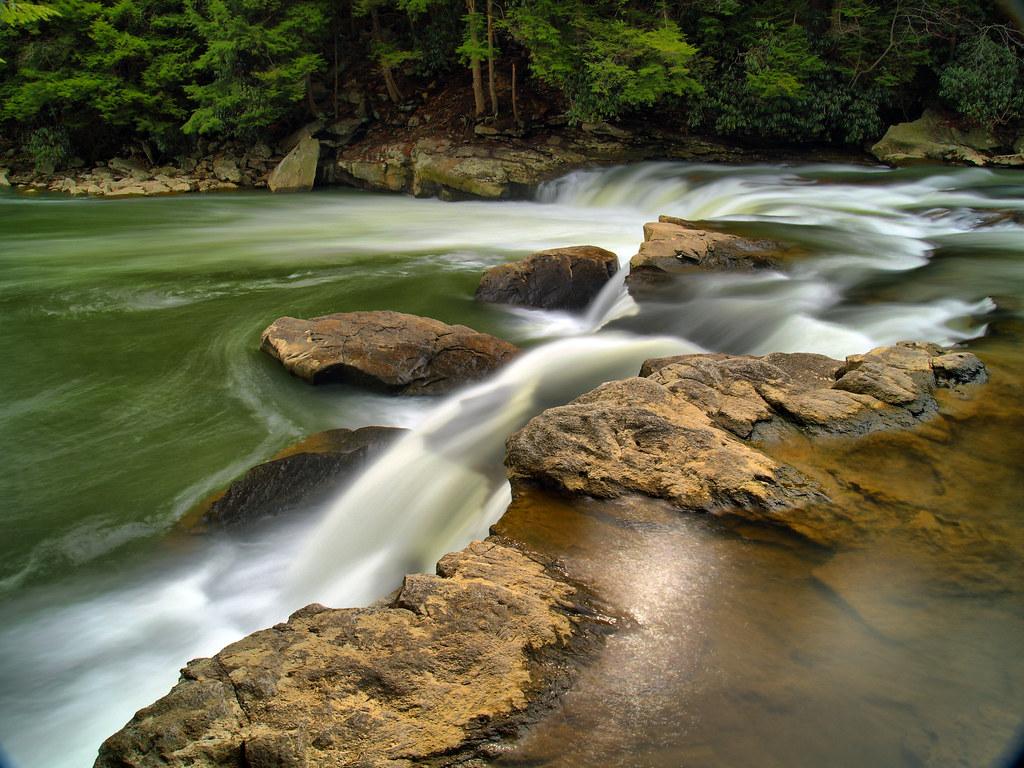
Muddy Creek
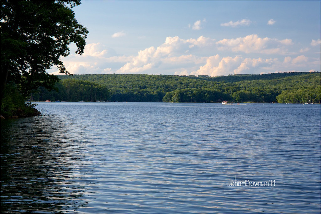
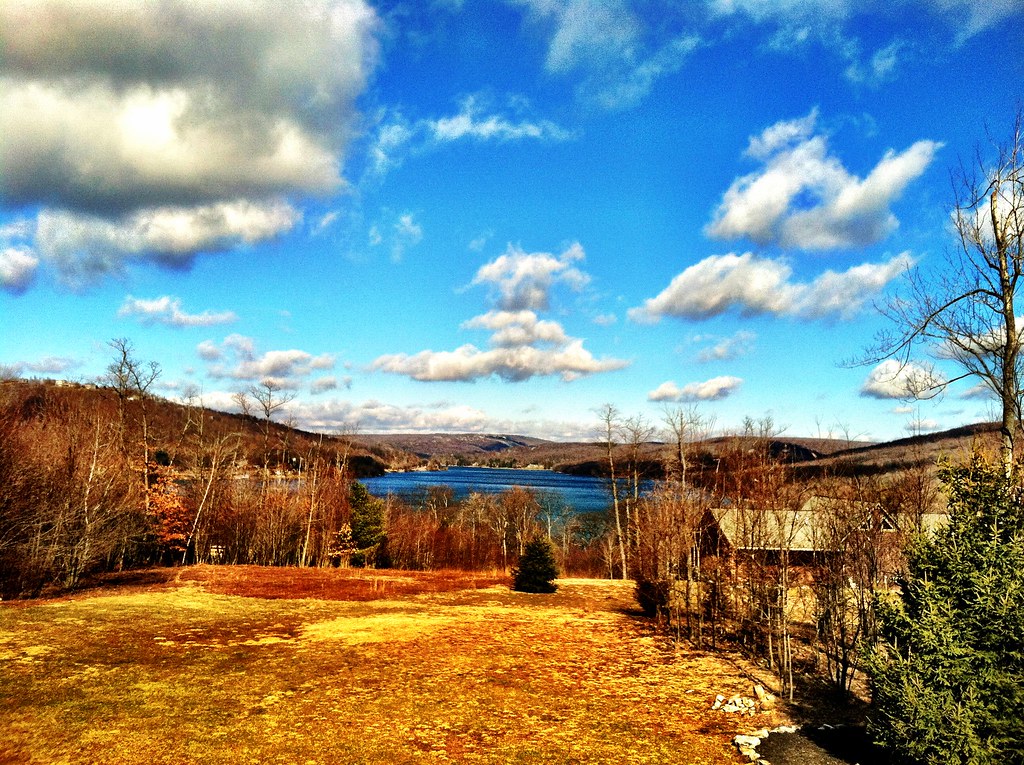
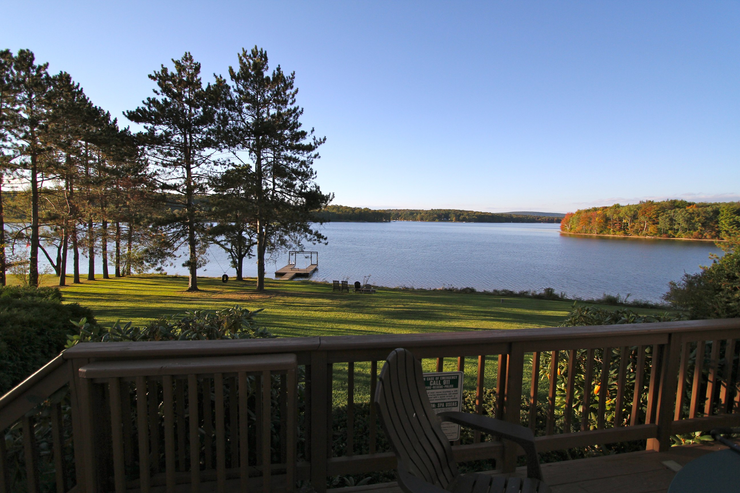
Deep Creek Lake
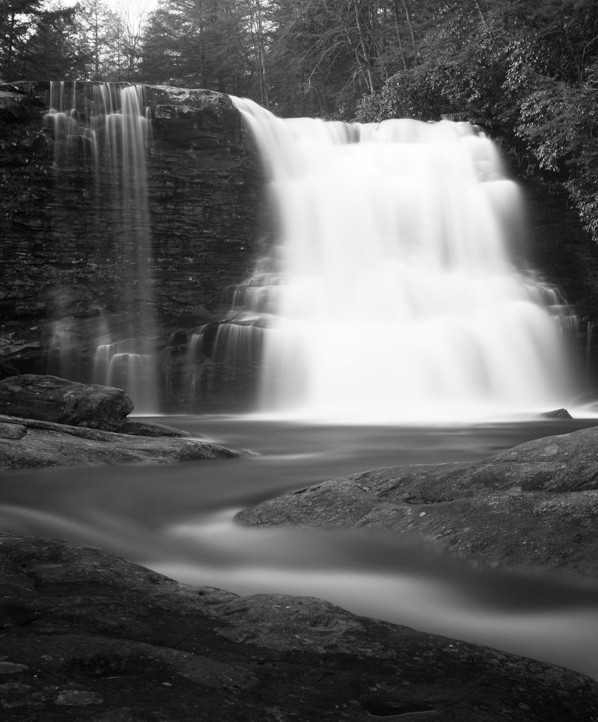
Tolliver Falls Much More Interesting Brother
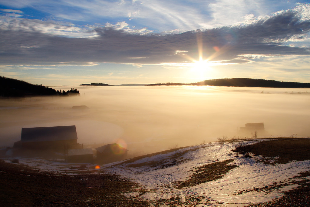
Sunday Morning

Baltimore & Ohio Altamont Tower, blue hour, 1980
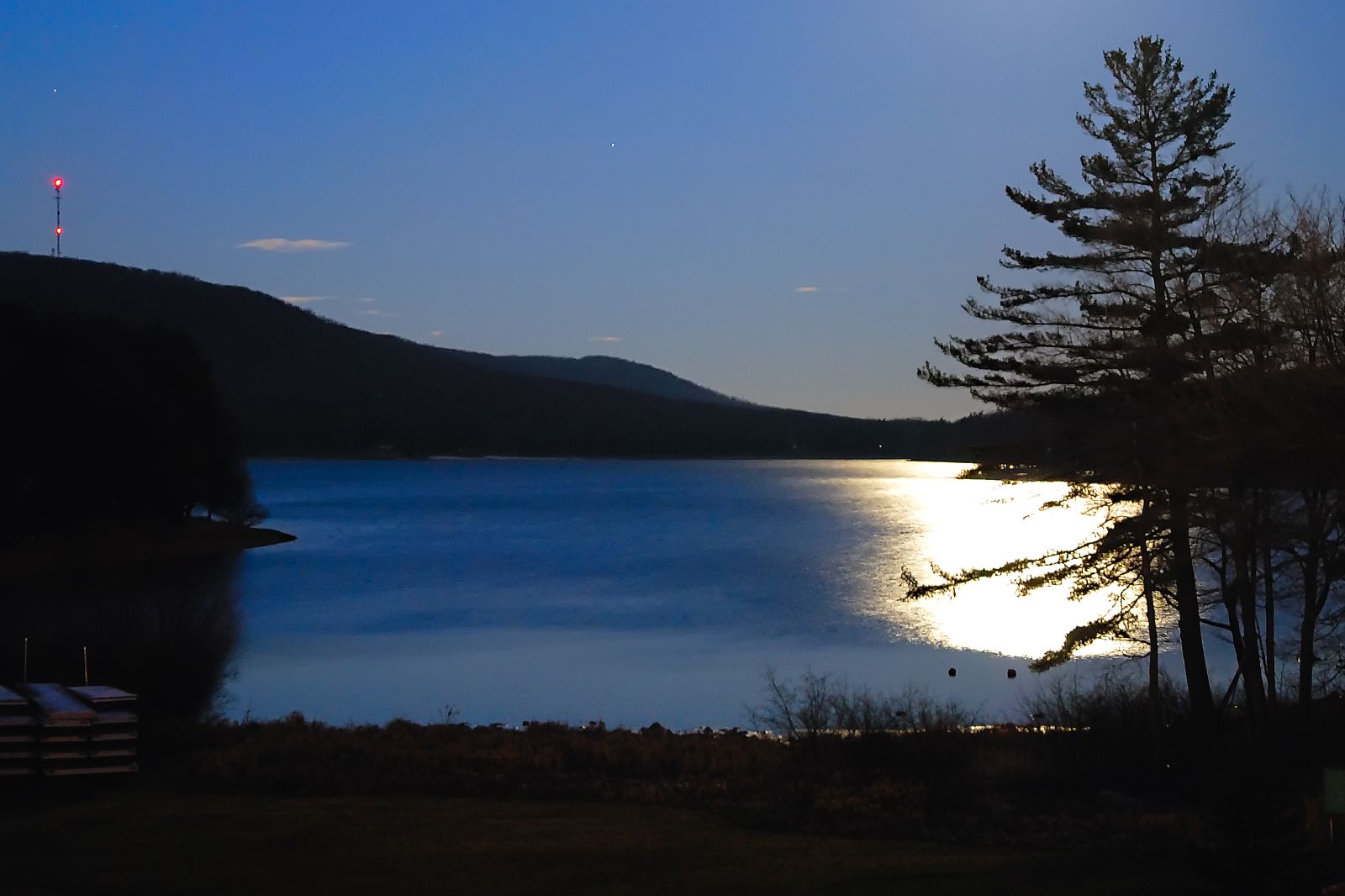
moonlight on deep creek lake
View from Wisp Mountain, WV
Deep Creek Lake

View for the next week (playing kids not withstanding).
View from the Hot Tub
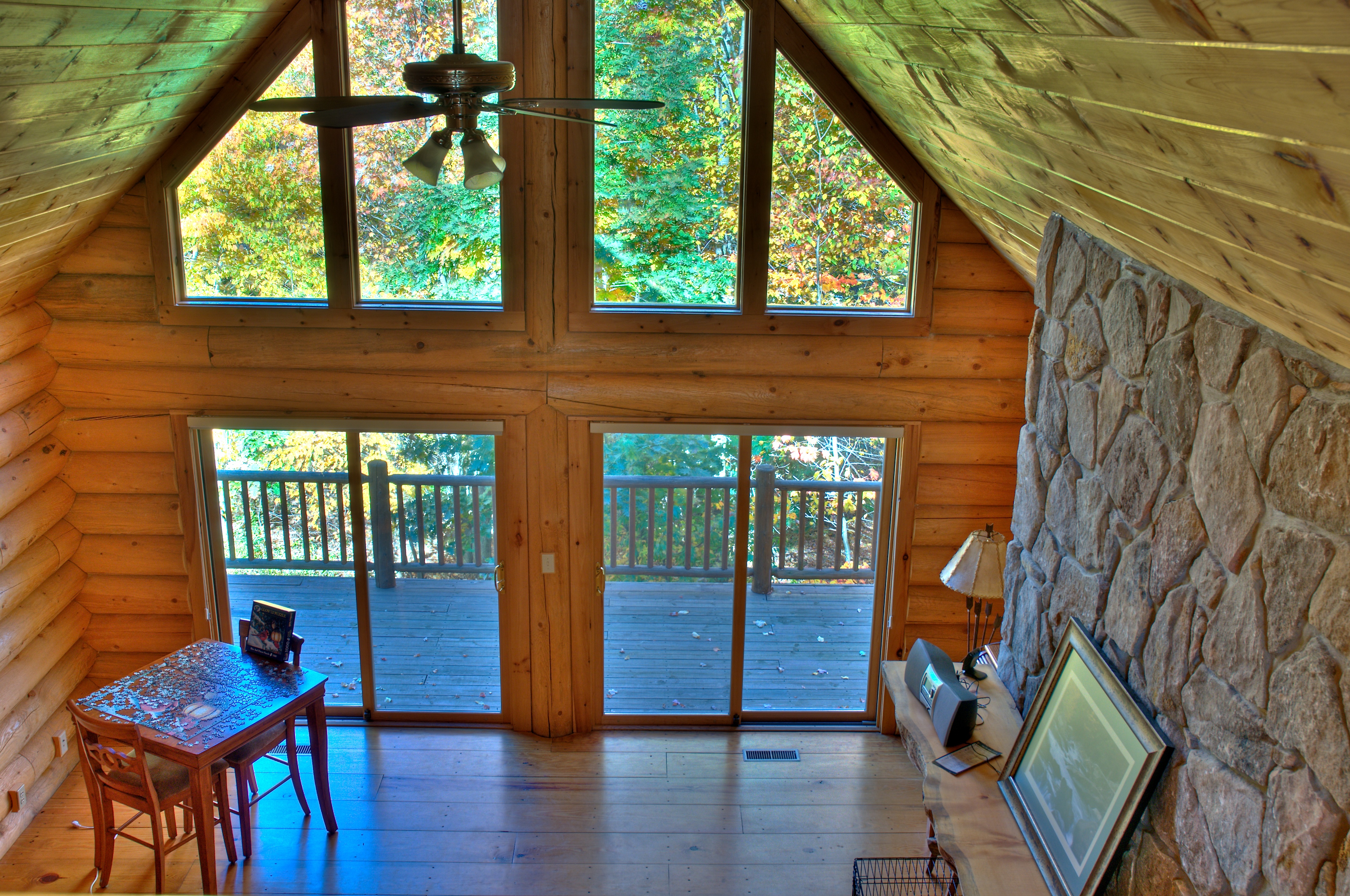
View from loft HDR
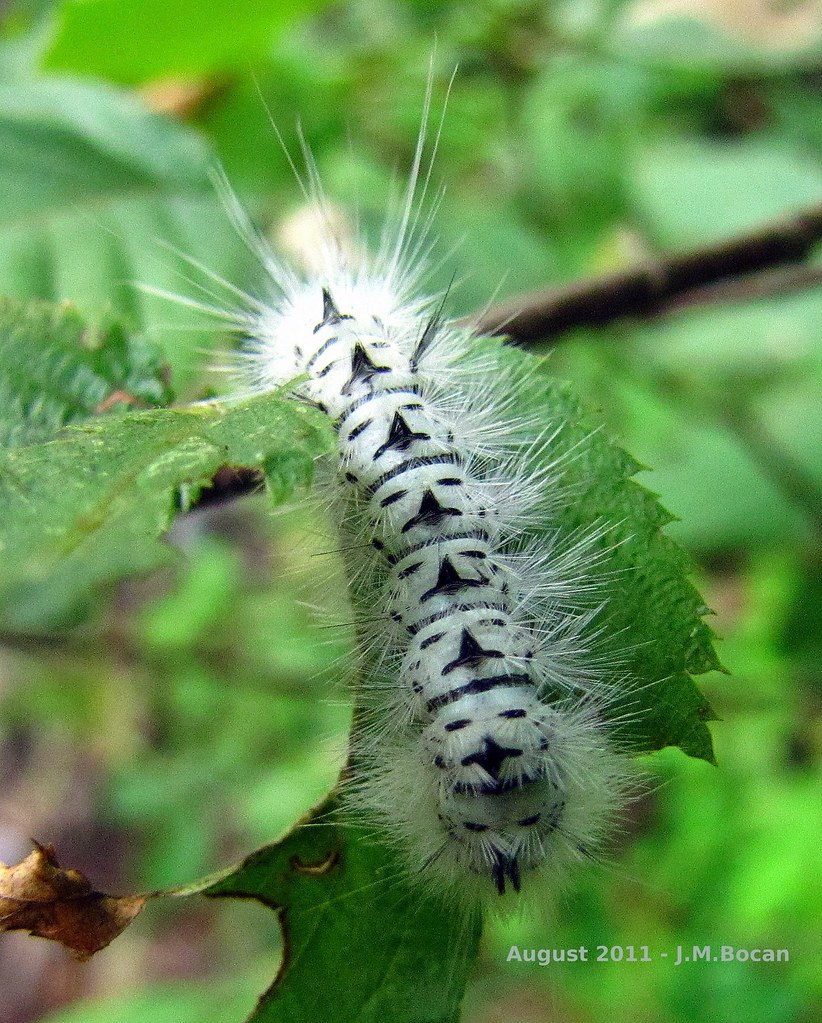
"Totem Caterpilliar"
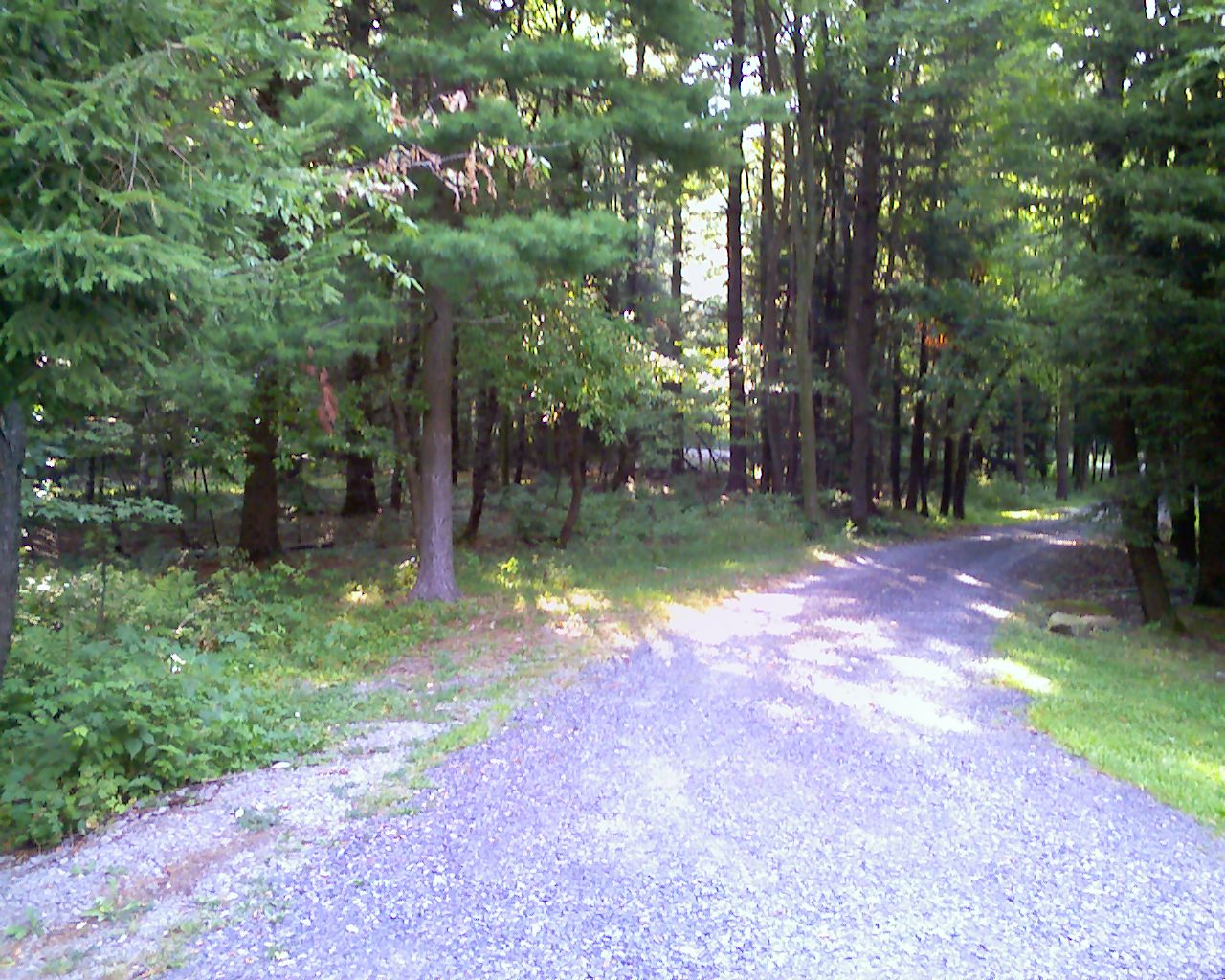
View from Driveway
Gett'n Me Some Side Action

Swallow Falls State Park MD - 2014-09-04 (77)
Muddy Creek Falls at the Swallow Falls State Park in Oakland, MD
Toliver Falls

Shelter from the storm
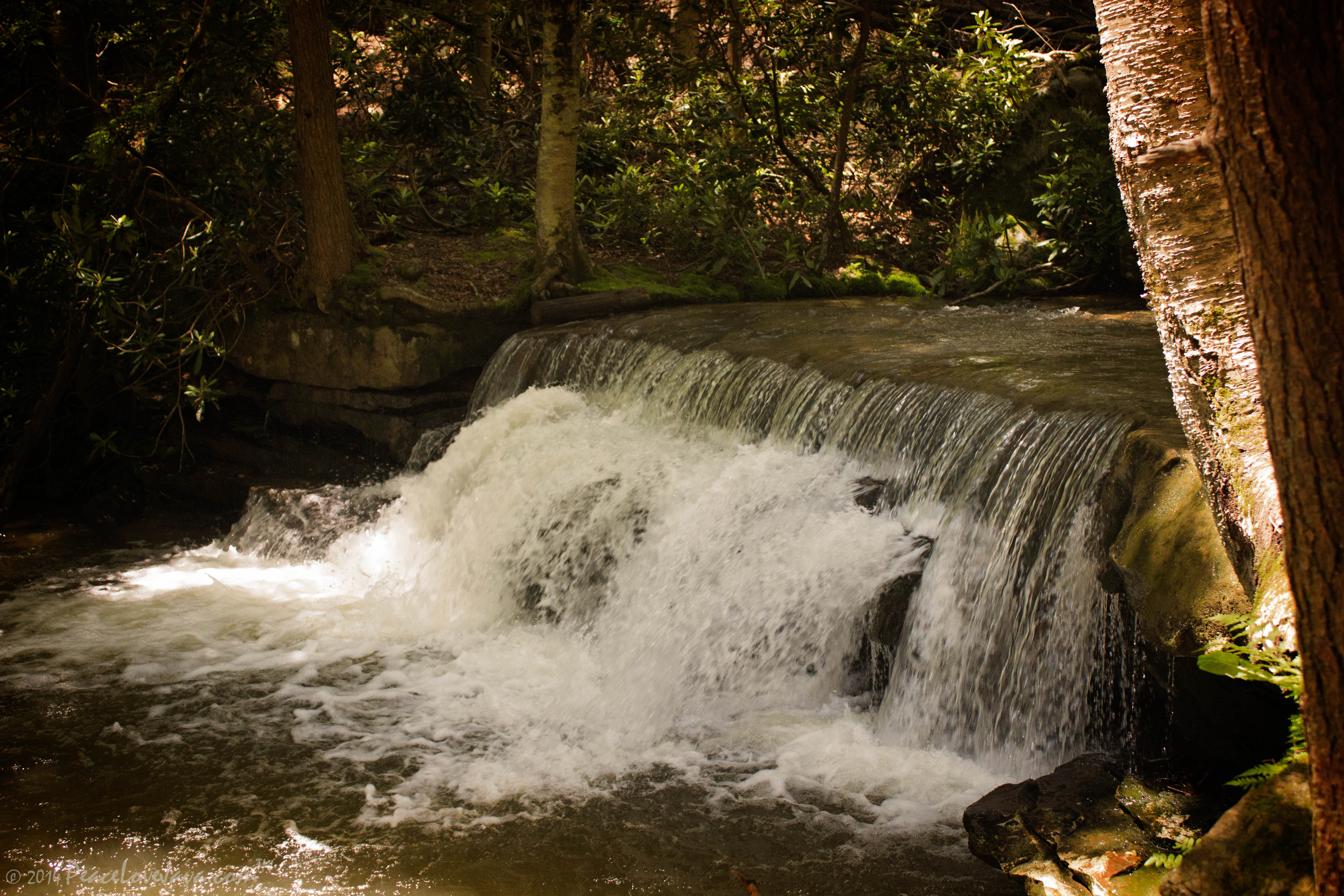
Lower Falls, one of many falls in Swallow Falls State Park, Maryland

Pond shore at North Glade Inn

Maryland river as seen from a bridge through the van window..
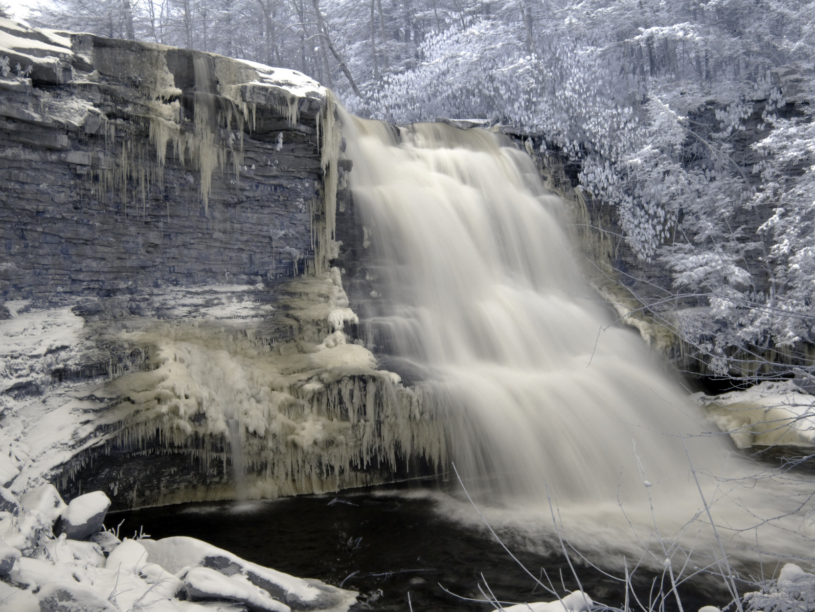
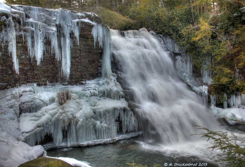
Frozen Swallow Falls
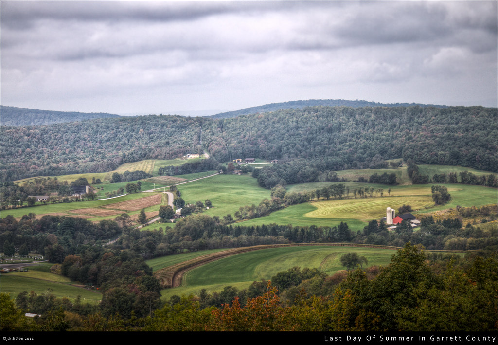
Last Day Of Summer In Garrett County

Swallow Falls State Park MD - 2014-09-04 (76)
Tolliver Falls, Swallow Falls State Park, Oakland, MD

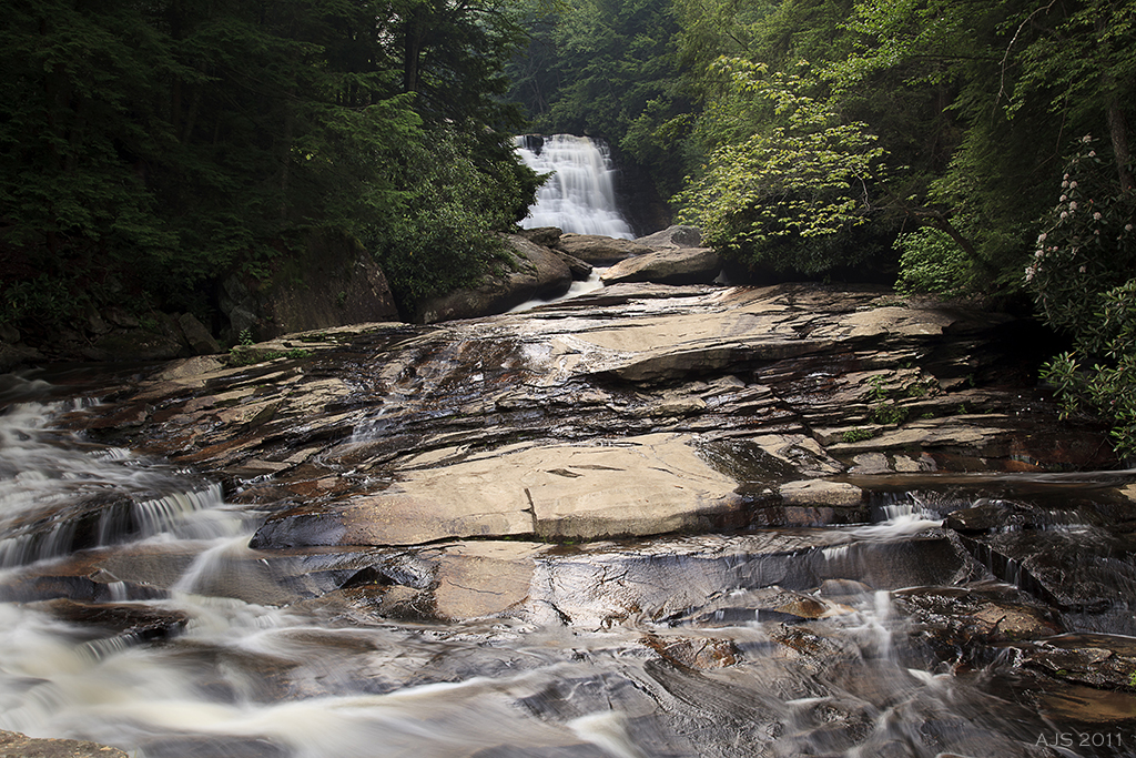
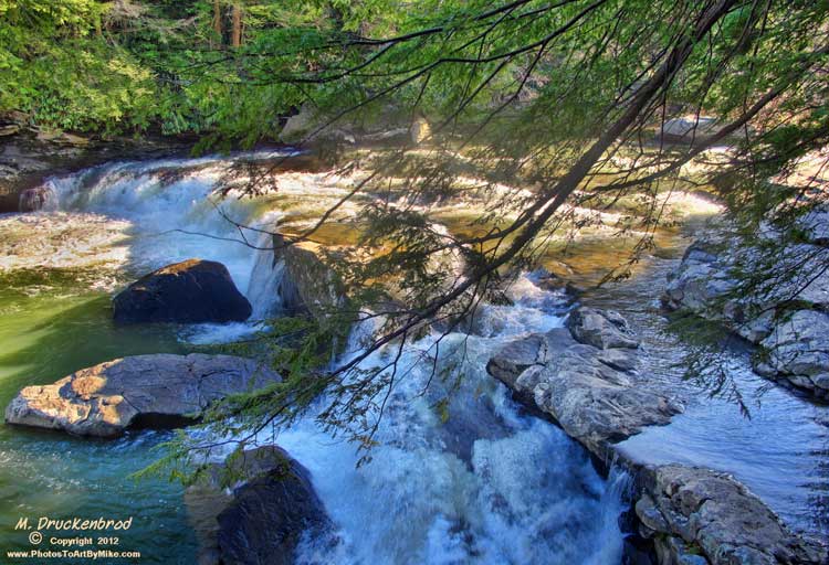
A water shoot on the Youghiogheny River, Swallow Falls State Park

2007-05-26_013
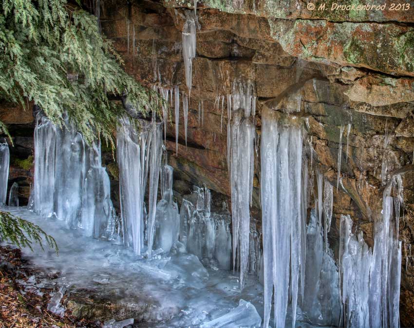
Icicles, A Winter Sculpture

Swallow Falls State Park MD - 2013-12-13 (103)
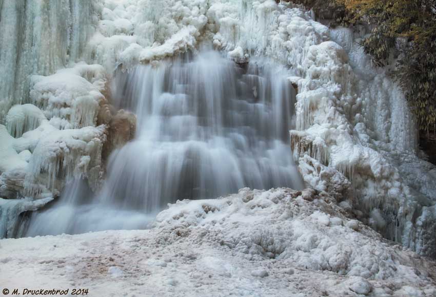
Closeup of a Frozen Falls

Swallow Falls State Park MD - 2013-12-13 (106)
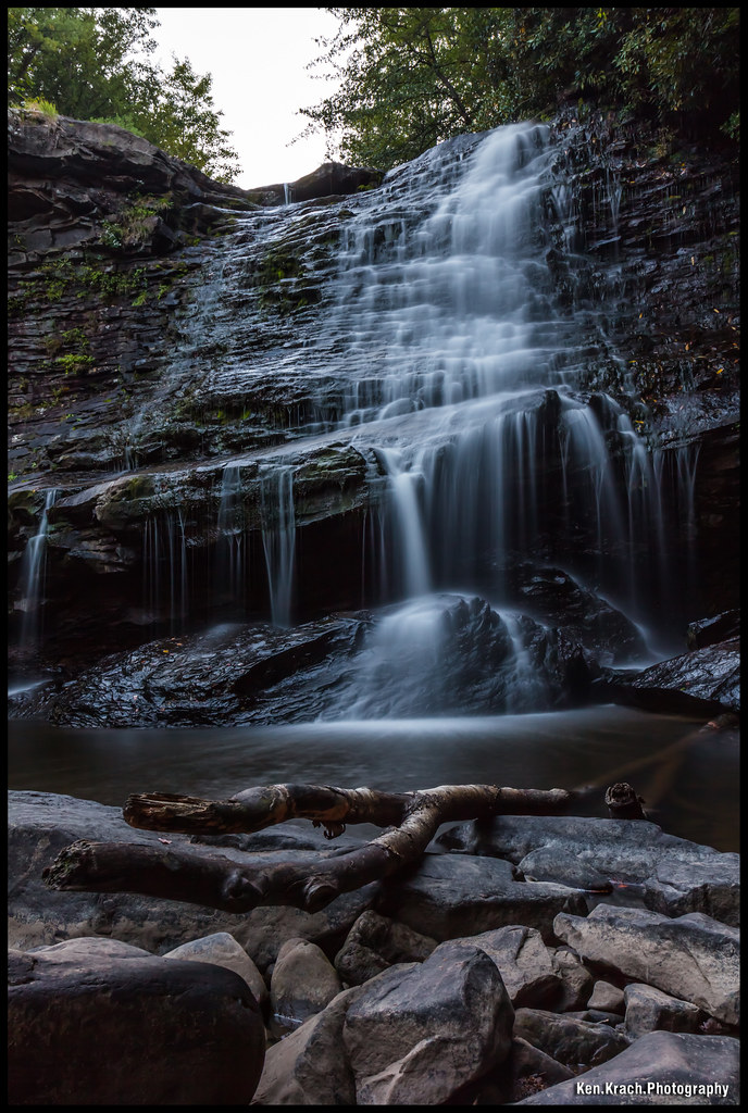
Muddy Creek Falls
Topographic Map of Garrett County, MD, USA
Find elevation by address:

Places in Garrett County, MD, USA:
3, Grantsville
Oakland
10, Deer Park
8, Red House
1, Swanton
16, Mountain Lake Park
7, East Oakland
6, Sang Run
13, Kitzmiller
12, Bittinger
Accident
2, Friendsville
14, West Oakland
9, Finzel
Westernport Rd, Barton, MD, USA
18 Grove Rd, Friendsville, MD, USA
5, Accident
4, Bloomington
Westview Crossing
Places near Garrett County, MD, USA:
761 Limpopo Ln
Negro Mountain Road
254 Klotz Farm Dr
Mchenry
9743 Bittinger Rd
5, Accident
Accident
Main Street
6, Sang Run
12, Bittinger
44 Bobs Ln
Bowman Hill Road
4838 Bear Creek Rd
1726 Durst Rd
Negro Mountain Church
422 Root Beachy Rd
Keysers Ridge
2294 National Pike
Bear Creek Court
305 Hemlock Meadow Dr
Recent Searches:
- Elevation of Corso Fratelli Cairoli, 35, Macerata MC, Italy
- Elevation of Tallevast Rd, Sarasota, FL, USA
- Elevation of 4th St E, Sonoma, CA, USA
- Elevation of Black Hollow Rd, Pennsdale, PA, USA
- Elevation of Oakland Ave, Williamsport, PA, USA
- Elevation of Pedrógão Grande, Portugal
- Elevation of Klee Dr, Martinsburg, WV, USA
- Elevation of Via Roma, Pieranica CR, Italy
- Elevation of Tavkvetili Mountain, Georgia
- Elevation of Hartfords Bluff Cir, Mt Pleasant, SC, USA