Elevation of 12, Bittinger, MD, USA
Location: United States > Maryland > Garrett County >
Longitude: -79.222557
Latitude: 39.5822568
Elevation: 818m / 2684feet
Barometric Pressure: 92KPa
Elevation Map:
Satellite Map:
Related Photos:
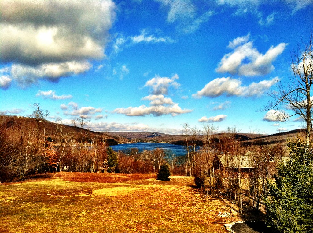
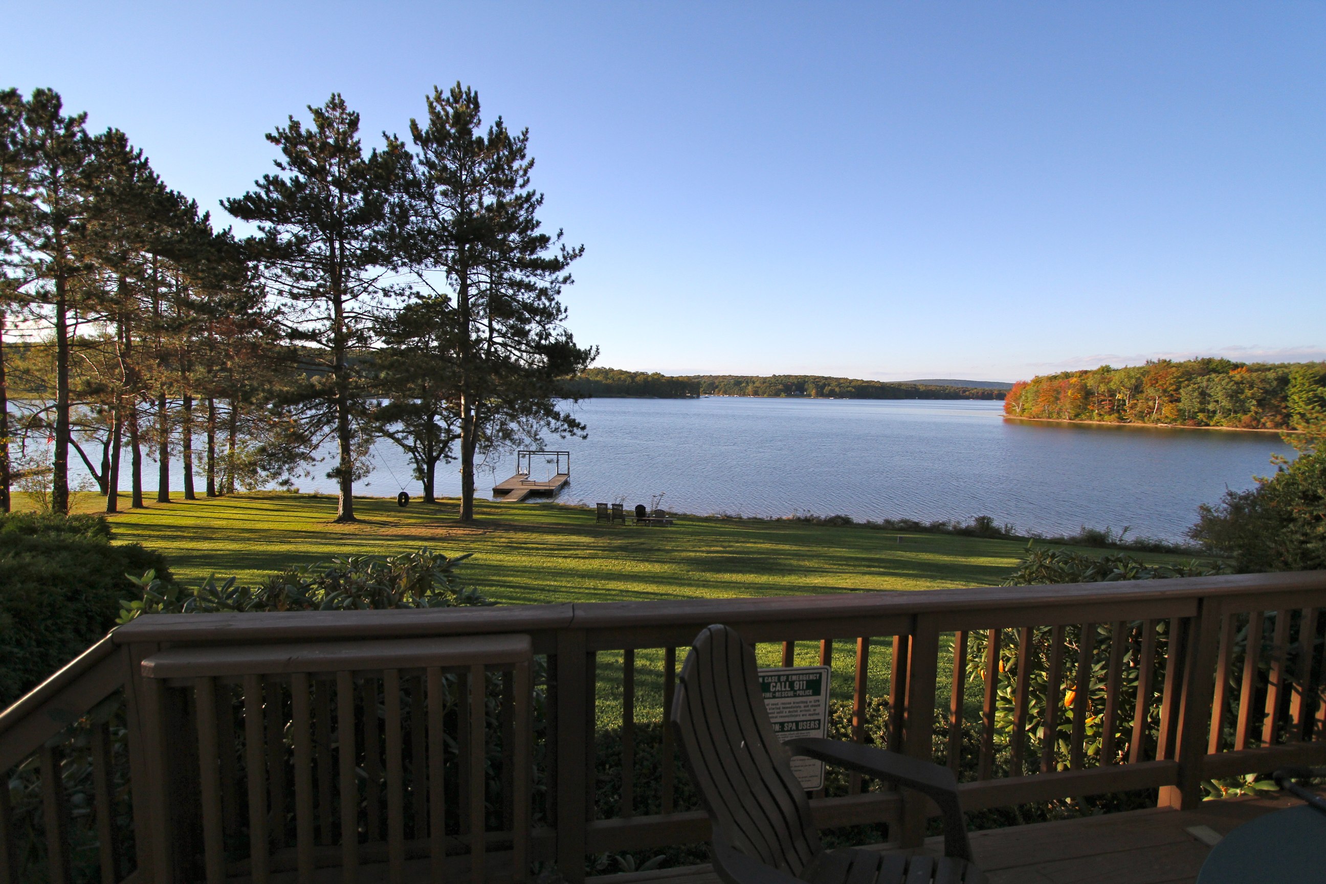
Morning View from the house
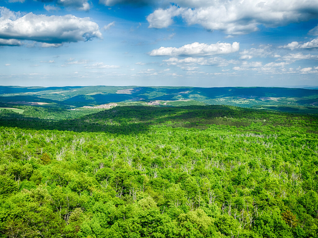
Big Savage Mountain
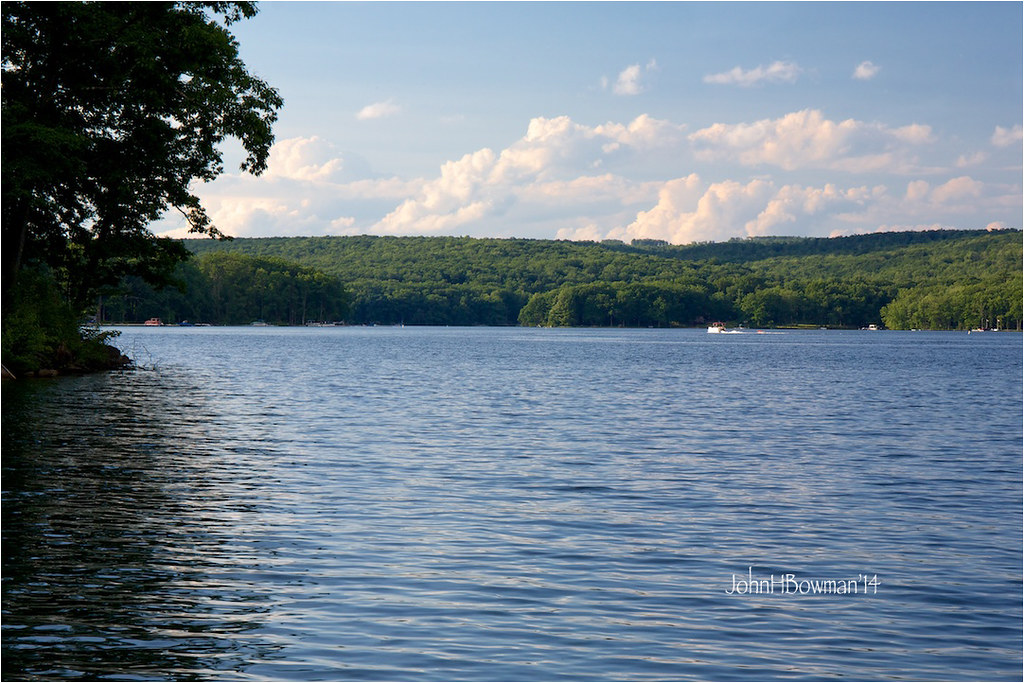
Deep Creek Lake
Big Savage Mountain
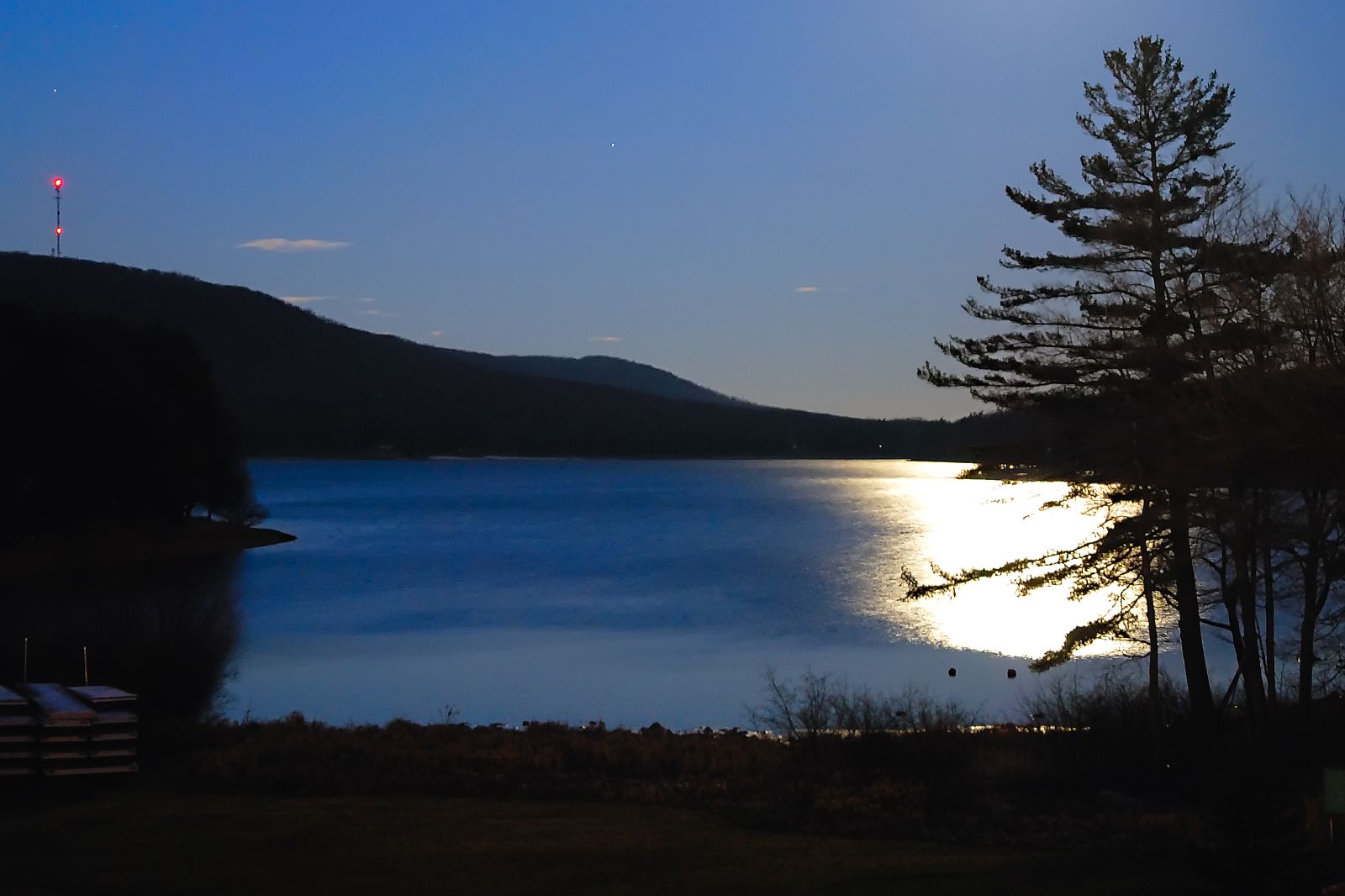
moonlight on deep creek lake
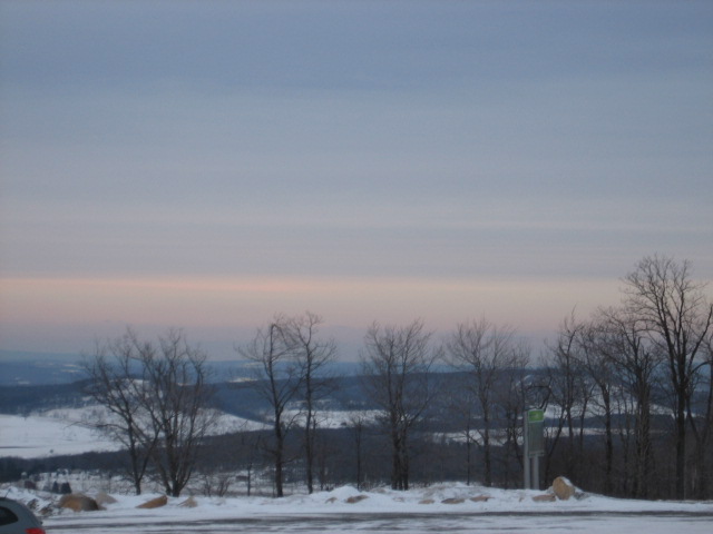
View from Wisp Mountain, WV

Big Savage Mountain

View for the next week (playing kids not withstanding).
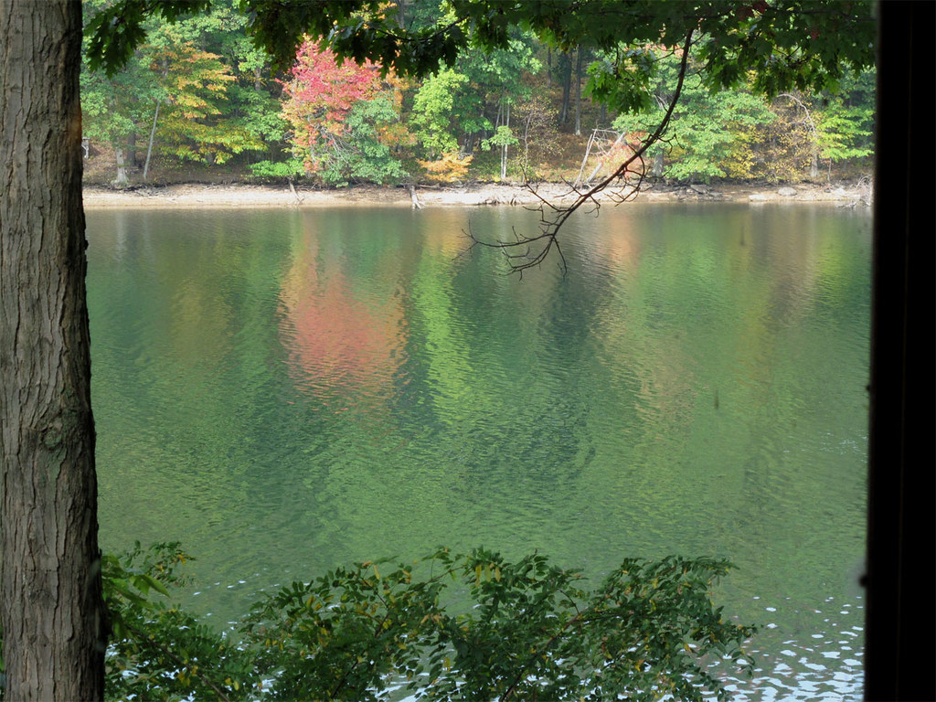
Deep Creek Lake
View from the Hot Tub
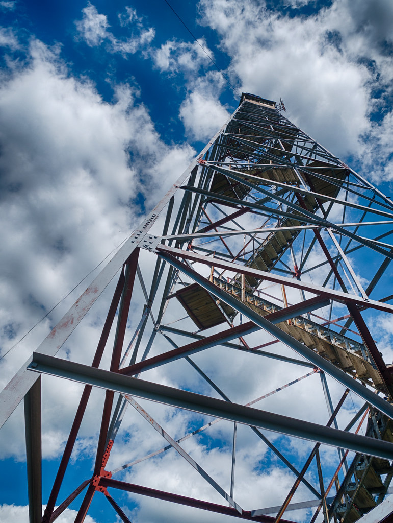
Lookout Tower

Big Savage Mountain
View from Driveway
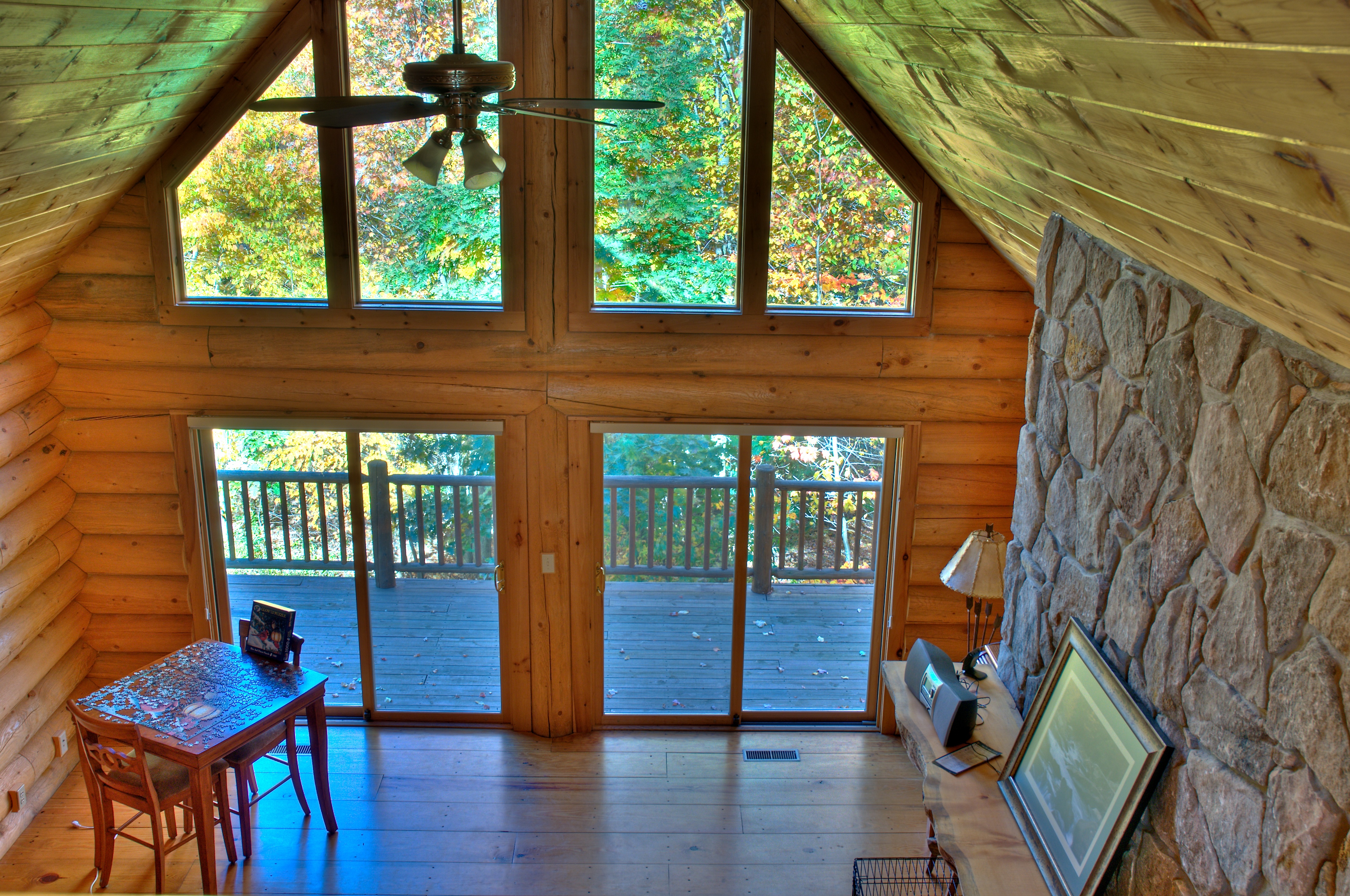
View from loft HDR
West approach to Casselman River Bridge
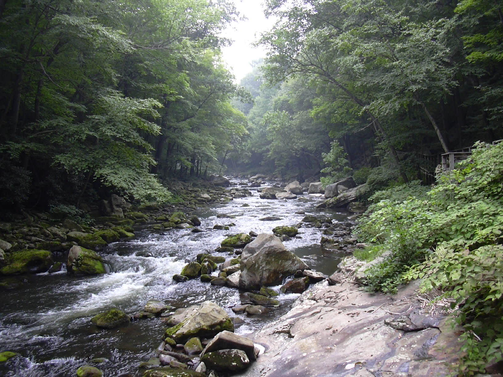
Savage River..
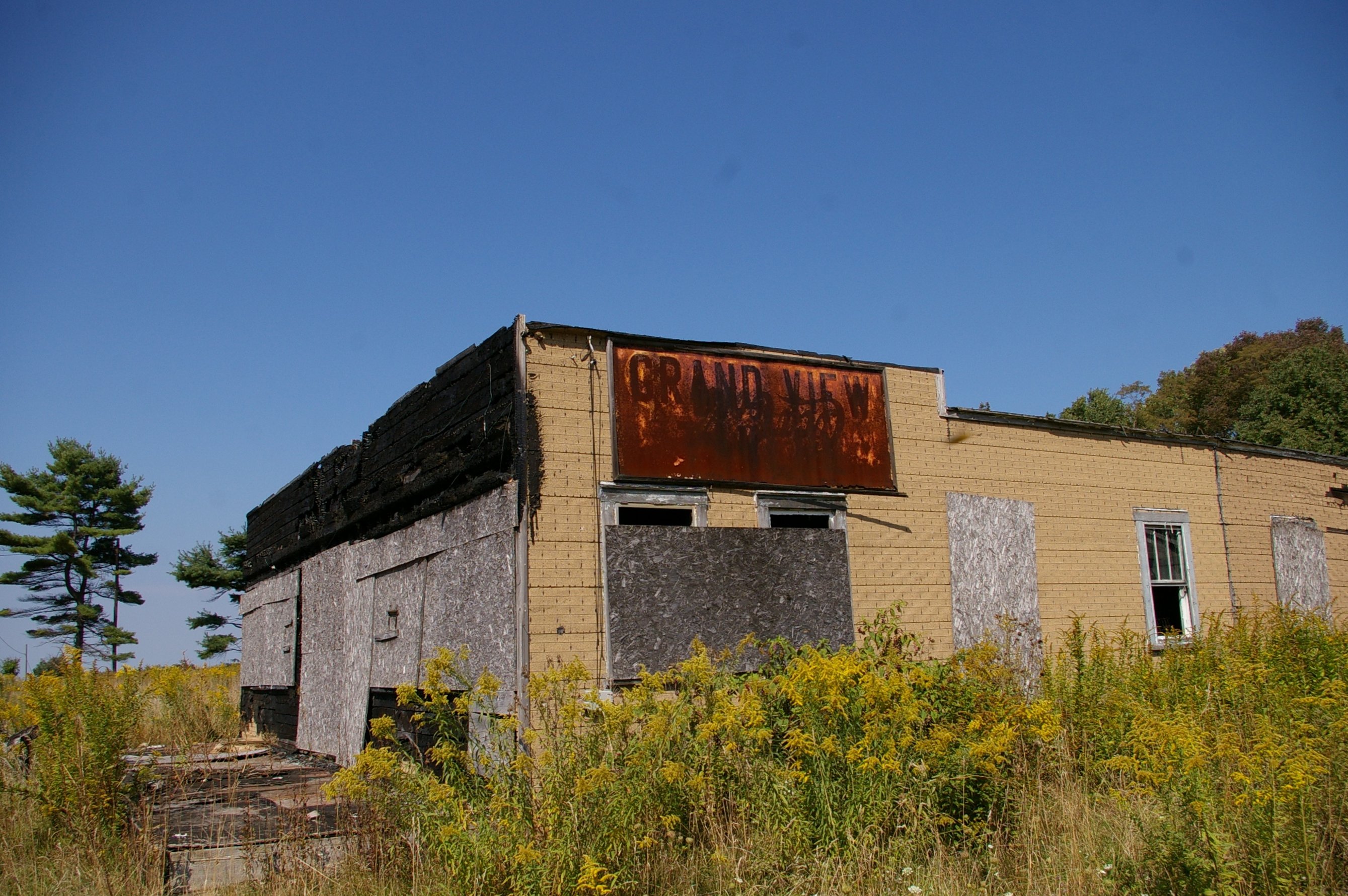
Grand View Tavern, Maryland
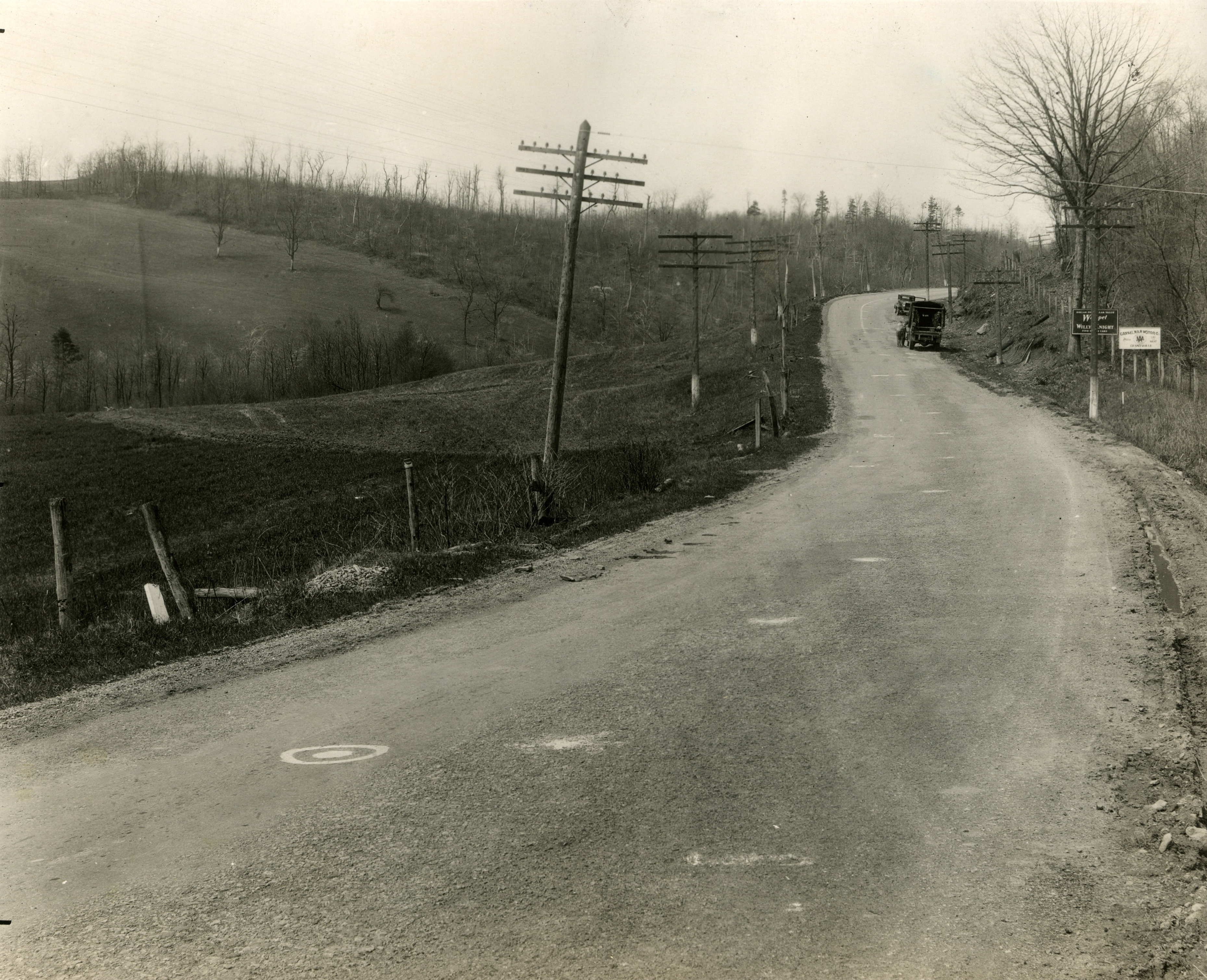
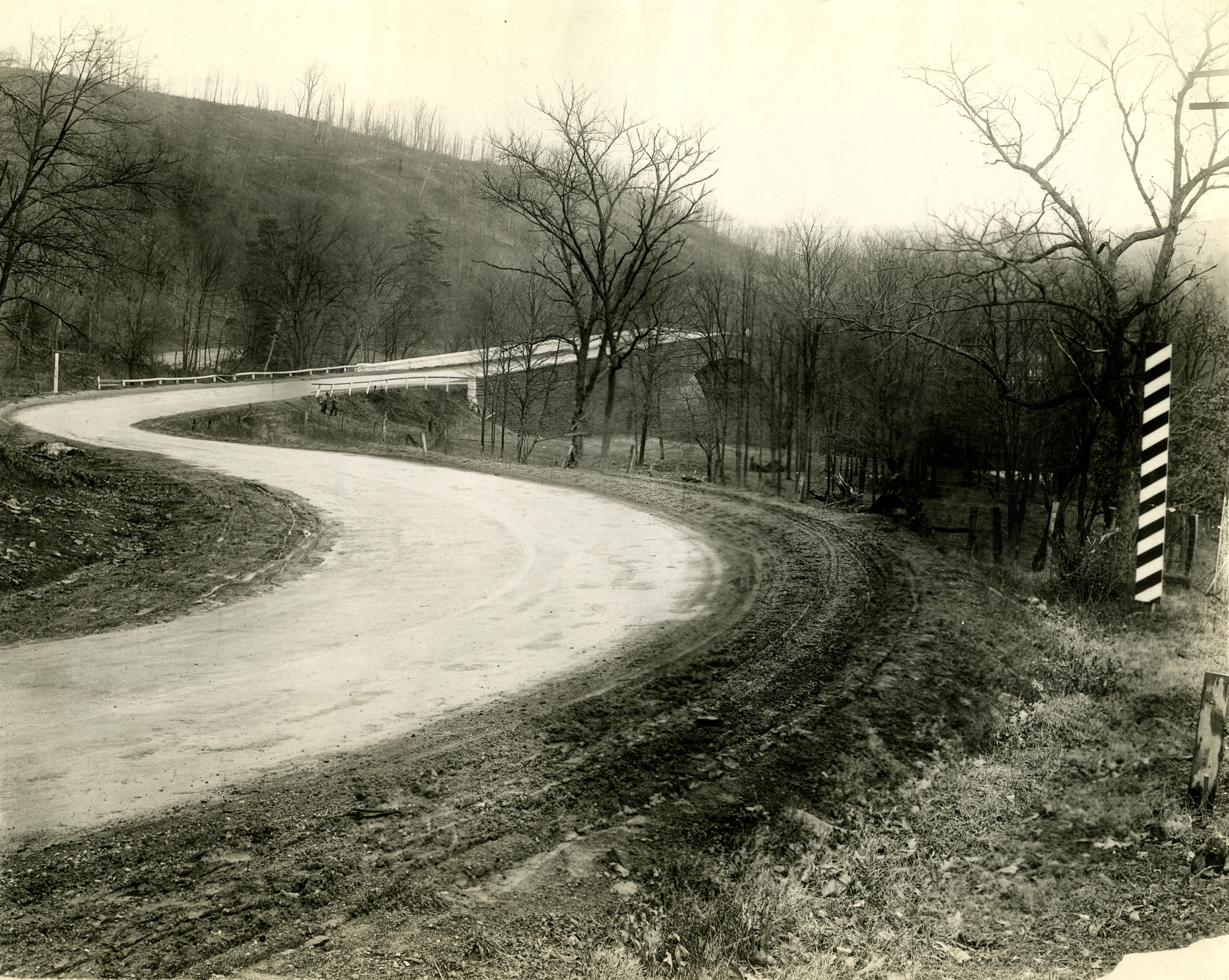
Just west of Turner’s Curve before grading

Myrtle Warbler

East approach to Casselman River Bridge
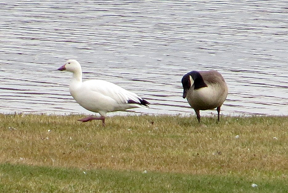
Snow Goose

2007-05-26_013

Bear Creek -- Garrett County, Maryland

Shelter from the storm

Barn in the Woods
2011-10-14 New Germany Park Camping 051

Soft Water

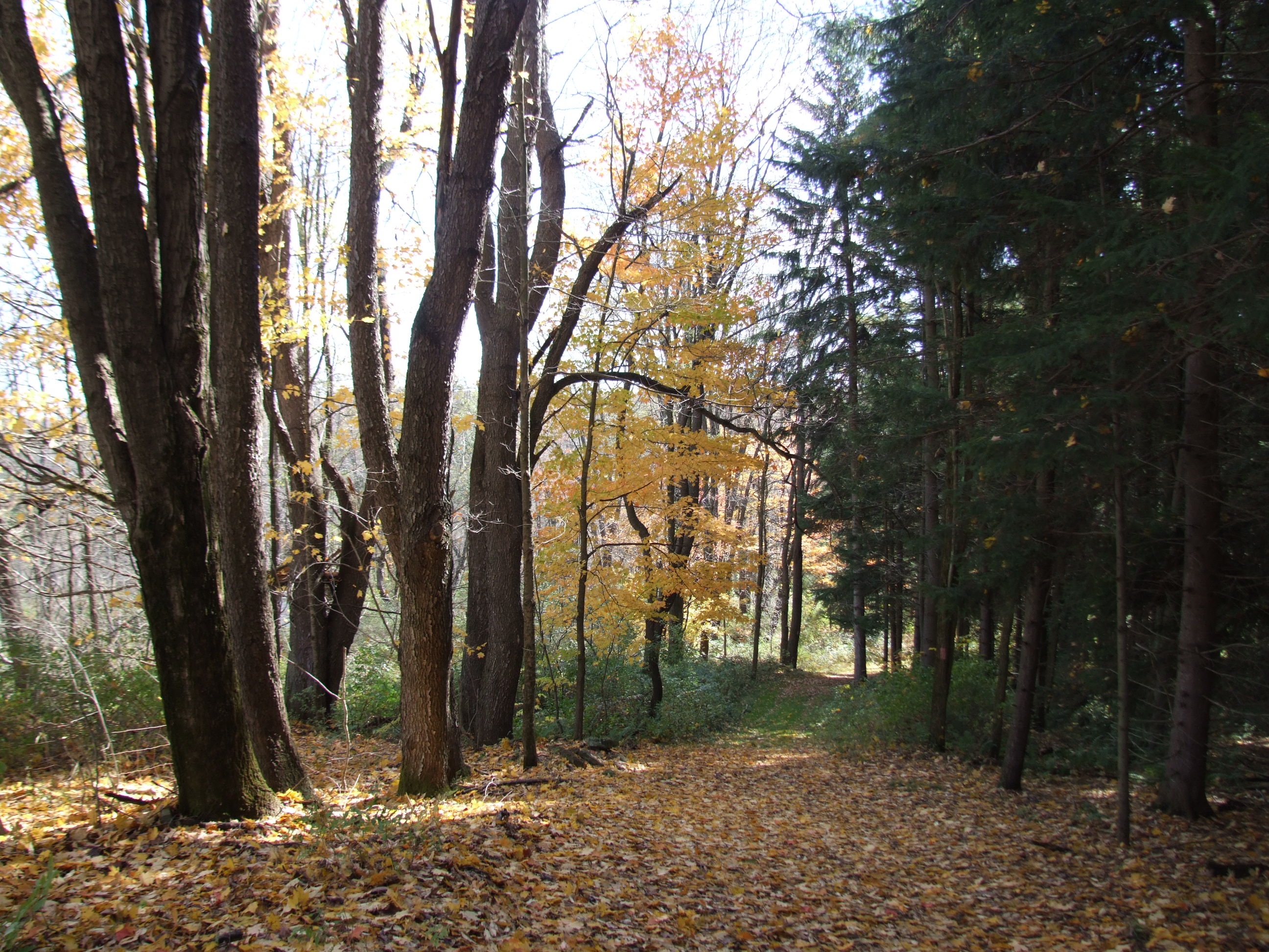
Autumn Creek
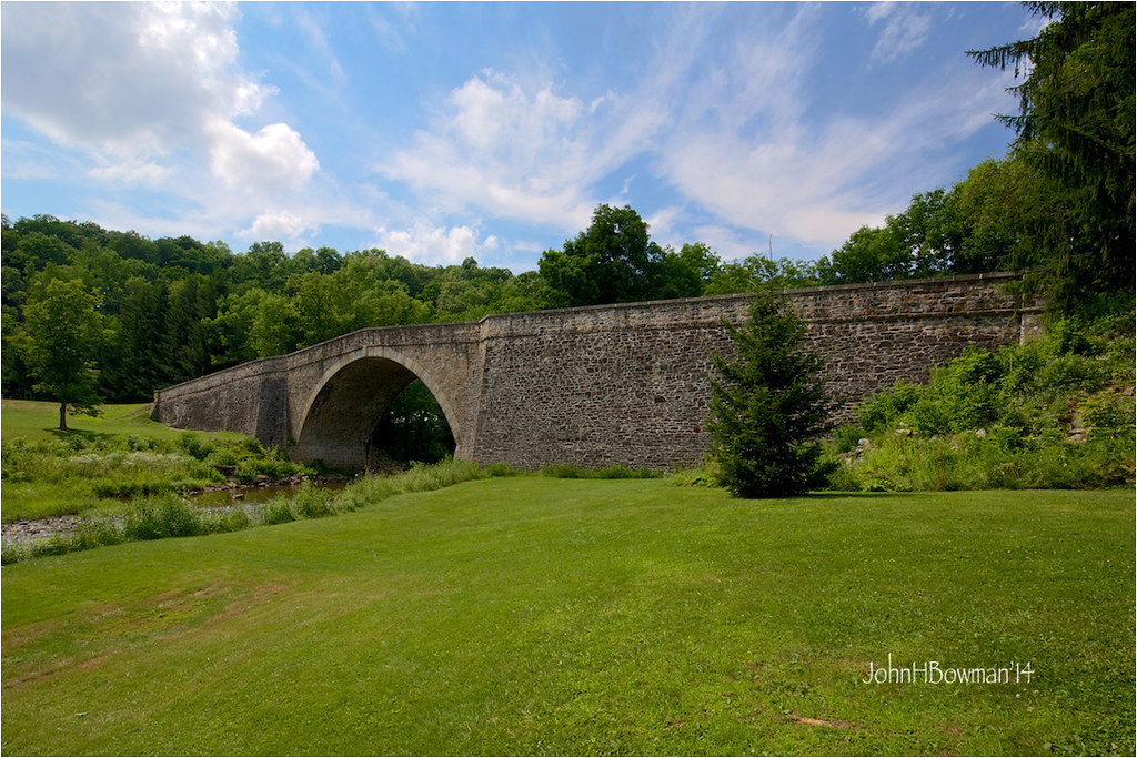
Casselman River Bridge

Pond shore at North Glade Inn
2011-10-14 New Germany Park Camping 015

House on the hill
Line Up
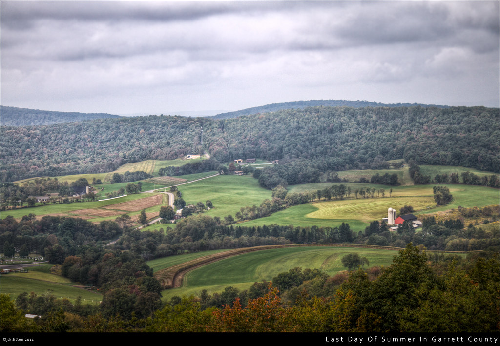
Last Day Of Summer In Garrett County

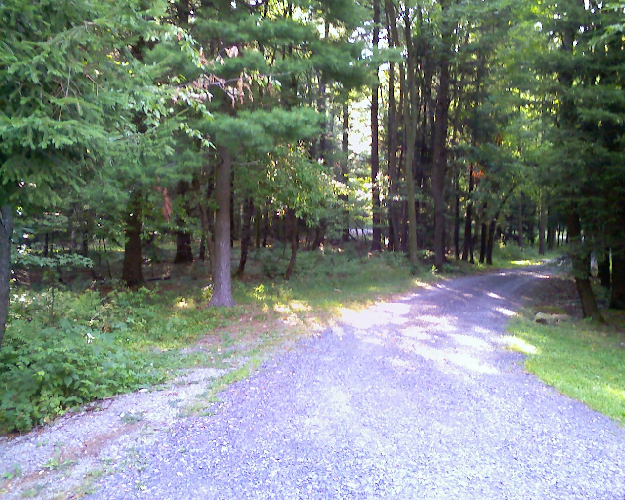
Long road ahead

Casselman River Bridge State Park MD - 2016-06-18 (3)

Muddy Creek B&W

Deep Creek dusk 1
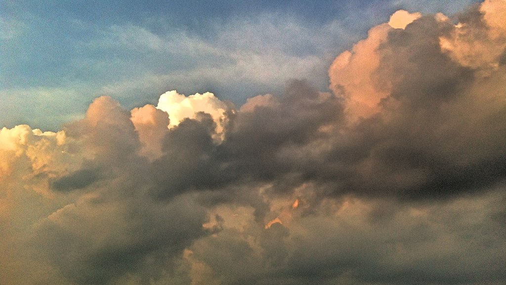
Dramatic Clouds

Winter Falls

Black Diamond
Topographic Map of 12, Bittinger, MD, USA
Find elevation by address:

Places near 12, Bittinger, MD, USA:
9743 Bittinger Rd
422 Root Beachy Rd
Garrett County
Bowman Hill Road
1726 Durst Rd
Negro Mountain Church
761 Limpopo Ln
Negro Mountain Road
5, Accident
New Germany State Park
Accident
Main Street
254 Klotz Farm Dr
McAndrews Hill Rd, Grantsville, MD, USA
Keysers Ridge
3, Grantsville
107 Shade Hollow Rd
Mchenry
706 Zehner Rd
Grantsville
Recent Searches:
- Elevation of Congressional Dr, Stevensville, MD, USA
- Elevation of Bellview Rd, McLean, VA, USA
- Elevation of Stage Island Rd, Chatham, MA, USA
- Elevation of Shibuya Scramble Crossing, 21 Udagawacho, Shibuya City, Tokyo -, Japan
- Elevation of Jadagoniai, Kaunas District Municipality, Lithuania
- Elevation of Pagonija rock, Kranto 7-oji g. 8"N, Kaunas, Lithuania
- Elevation of Co Rd 87, Jamestown, CO, USA
- Elevation of Tenjo, Cundinamarca, Colombia
- Elevation of Côte-des-Neiges, Montreal, QC H4A 3J6, Canada
- Elevation of Bobcat Dr, Helena, MT, USA