Elevation of Chestnut Ridge Rd, Grantsville, MD, USA
Location: United States > Maryland > Garrett County > 3, Grantsville > Grantsville >
Longitude: -79.103914
Latitude: 39.692911
Elevation: 816m / 2677feet
Barometric Pressure: 92KPa
Elevation Map:
Satellite Map:
Related Photos:
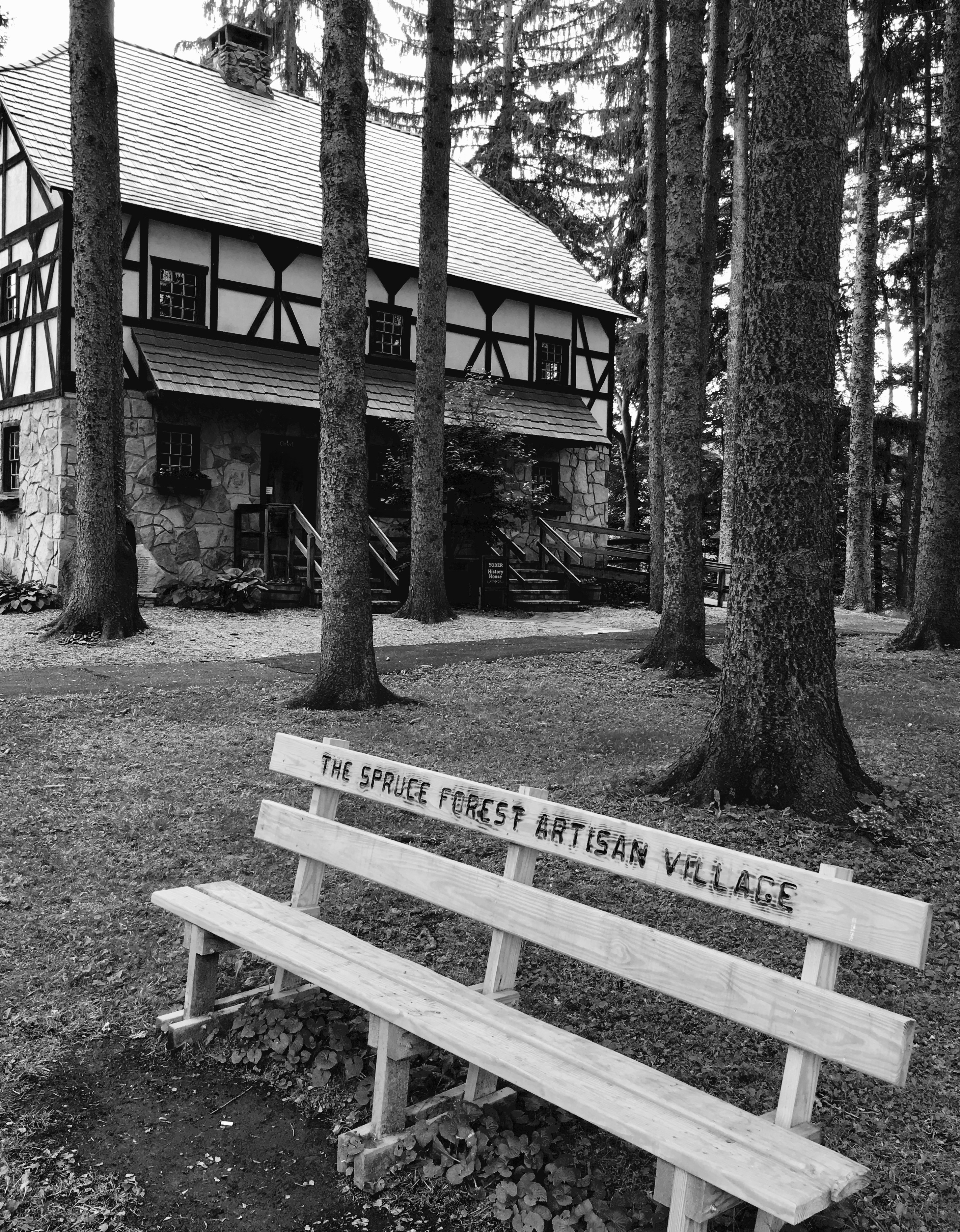
Spruce Forest Artisan Village

2017 12-03 1408.7 WMSR GP30-501 W/B CCE Frostburg, MD

2017 12-03 1408 WMSR GP30-501 W/B CCE Frostburg, MD

Sedge Wren

Great Spangled Fritillary - Speyeria cybele

Frostburg, Maryland - Then & Now

Yellow-collared Scape Moth - Cisseps fulvicollis

Our View

Thomas Johnson Farmhouse
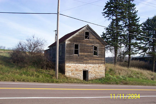
Thomas Johnson Shed

Our View
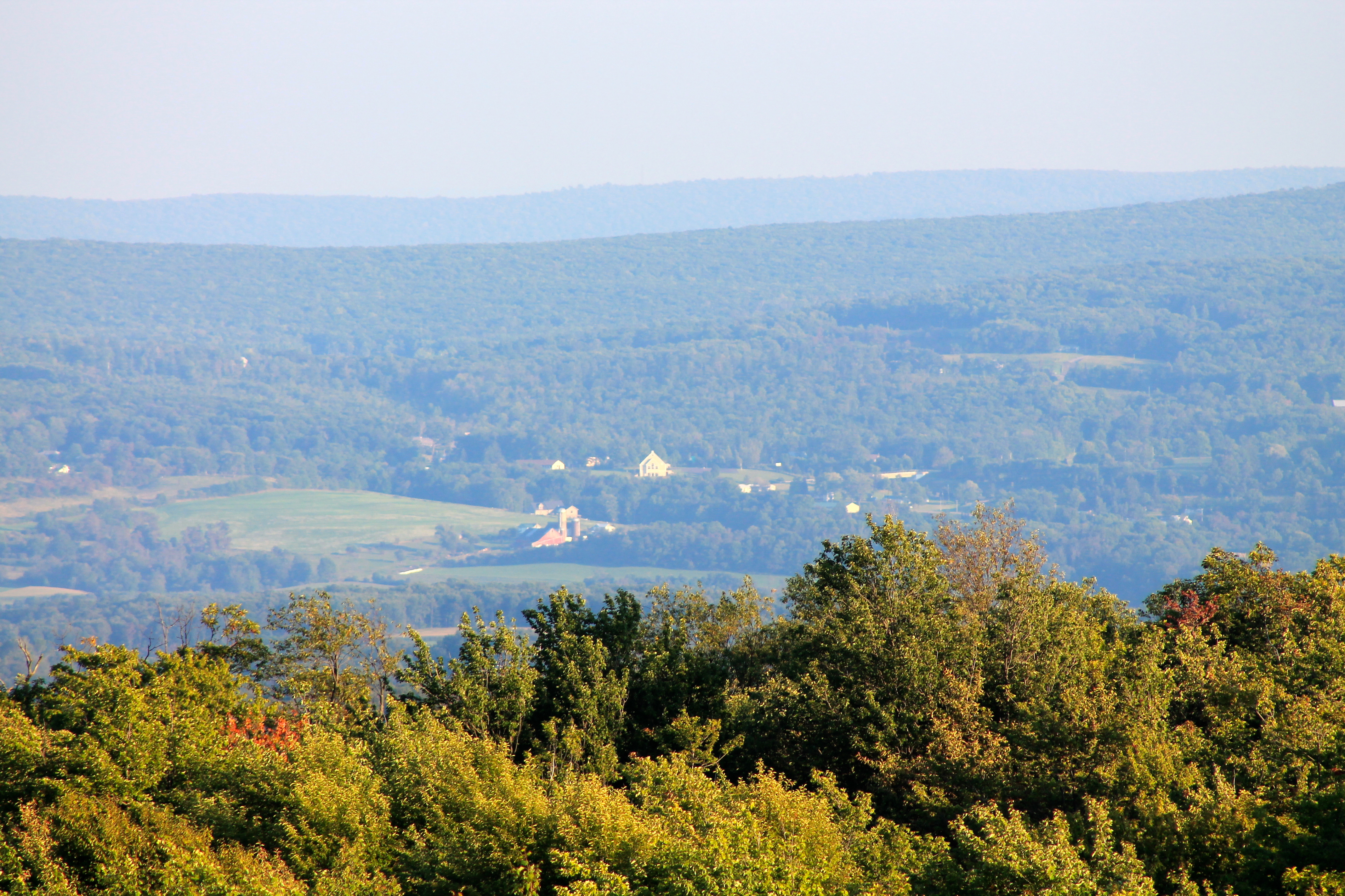
View SE from Mt. Davis Fire Tower
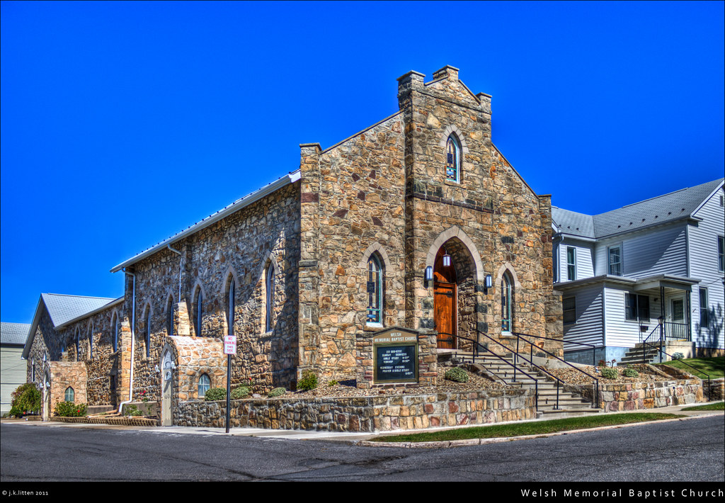
Welsh Memorial Baptist Church

Just west of Turner’s Curve before grading

West approach to Casselman River Bridge

East approach to Casselman River Bridge

Castleman Bridge - Fisheye View

Atop DV Rocks
Casselman River Bridge-Deck View

View west toward Laurel Ridge from Mt. Davis Fire Tower

View from the Station

Western Maryland Keystone Viaduct

Western Maryland Keystone Viaduct Westbound

Mountain Morning Mist - Explore 2-12

Hillside under clouds.

Mysterious Forest

New Germany swamp

picnic table at Keysers Ridge, MD

Pond at Finzel Swamp

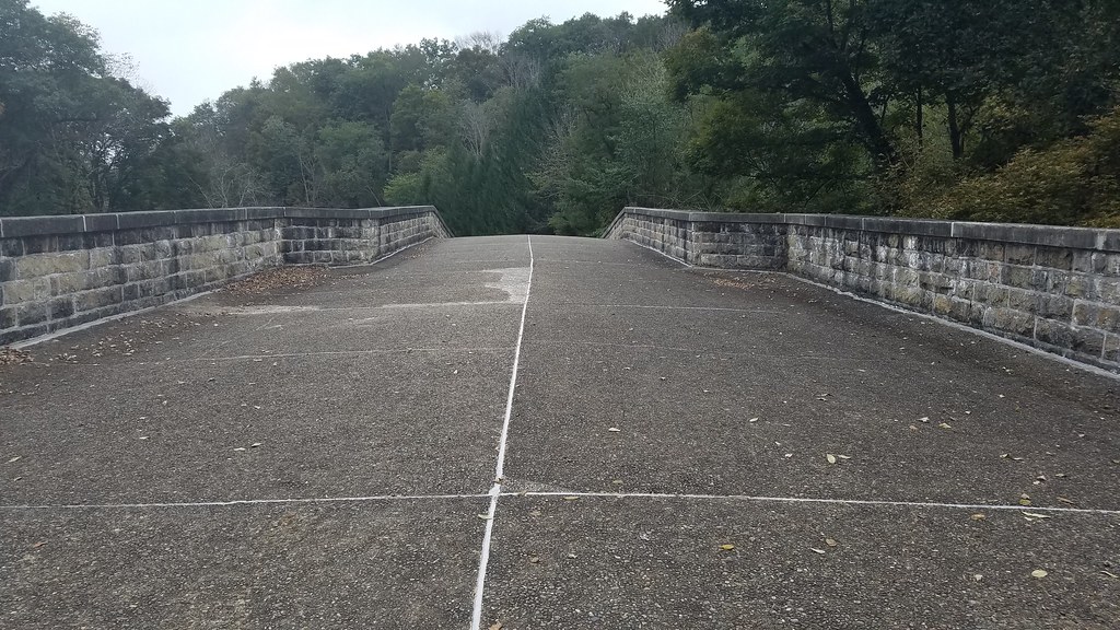
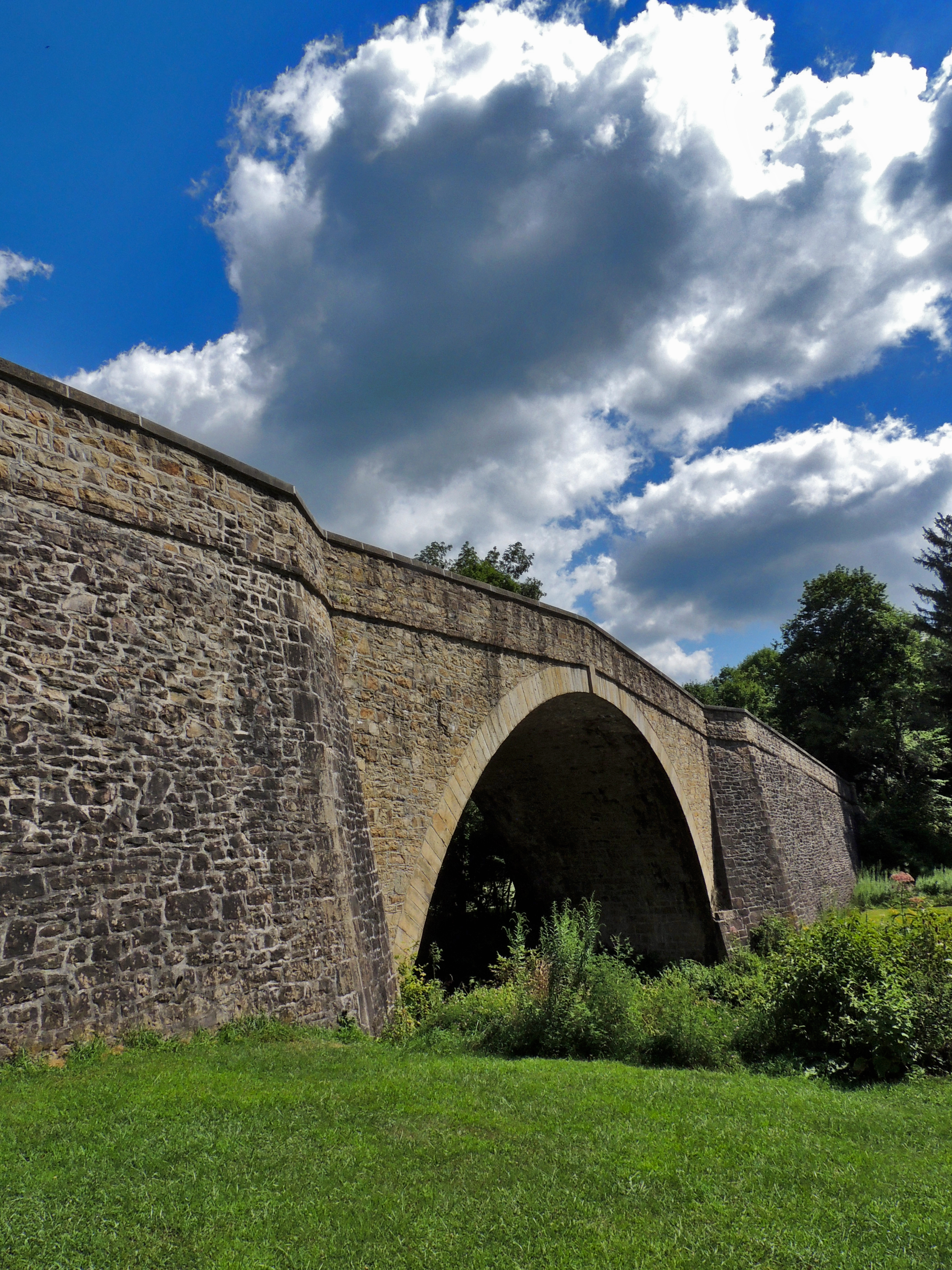
Casselman River Bridge
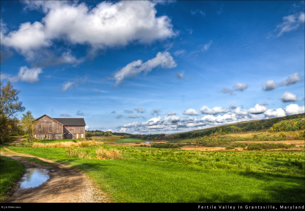
Fertile Valley In Grantsville, Maryland

Overlook Rest Area on Route 219 (North of Accident, Maryland) - August 9th, 2017

Cassleman River Bridge

Hillside Field — Garrett County, Maryland

Salisbury, PA from Mt. Davis Fire Tower

Cassleman River Bridge
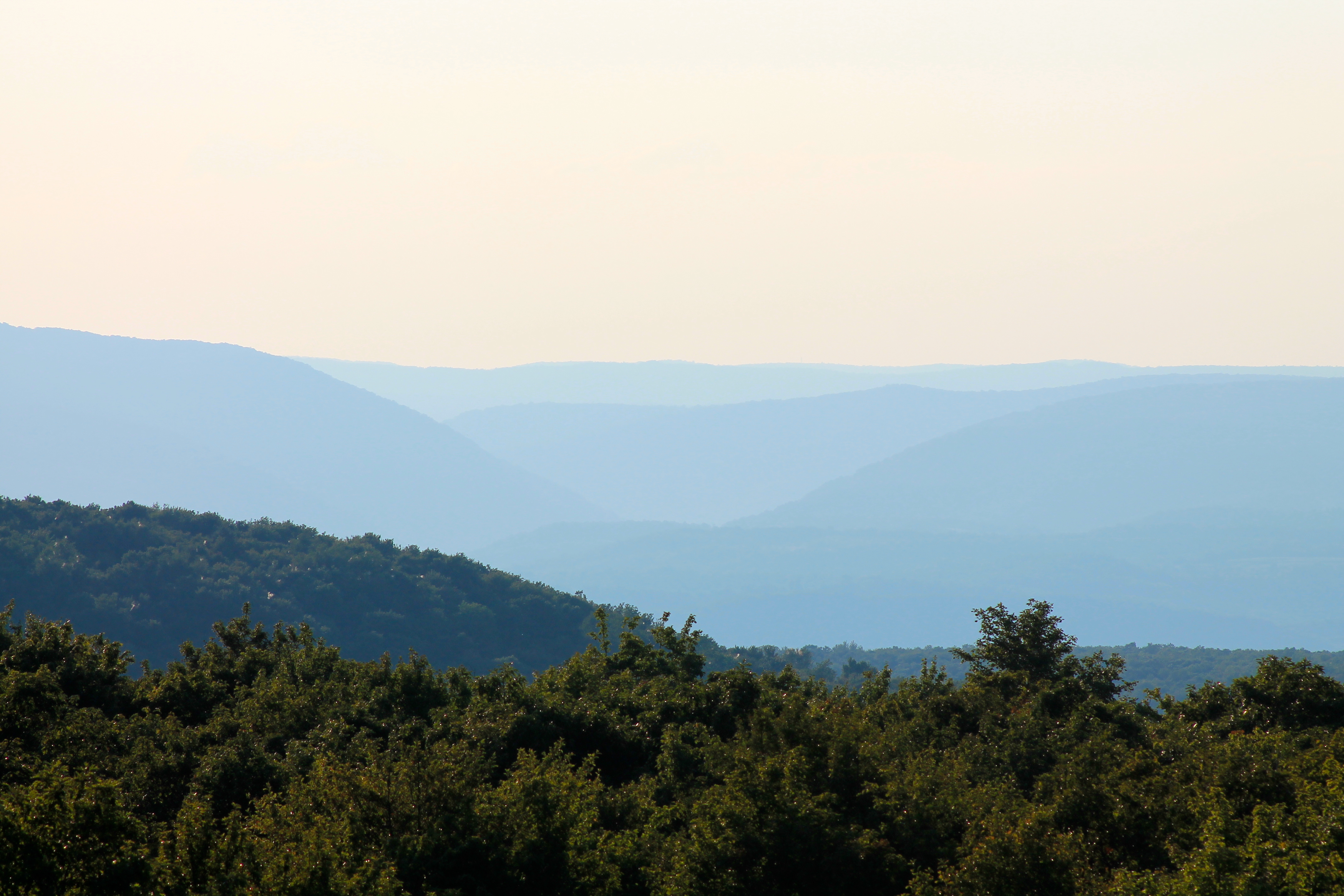
Youghiogheny River Gorge from Mt. Davis Fire Tower

Poplar Lick
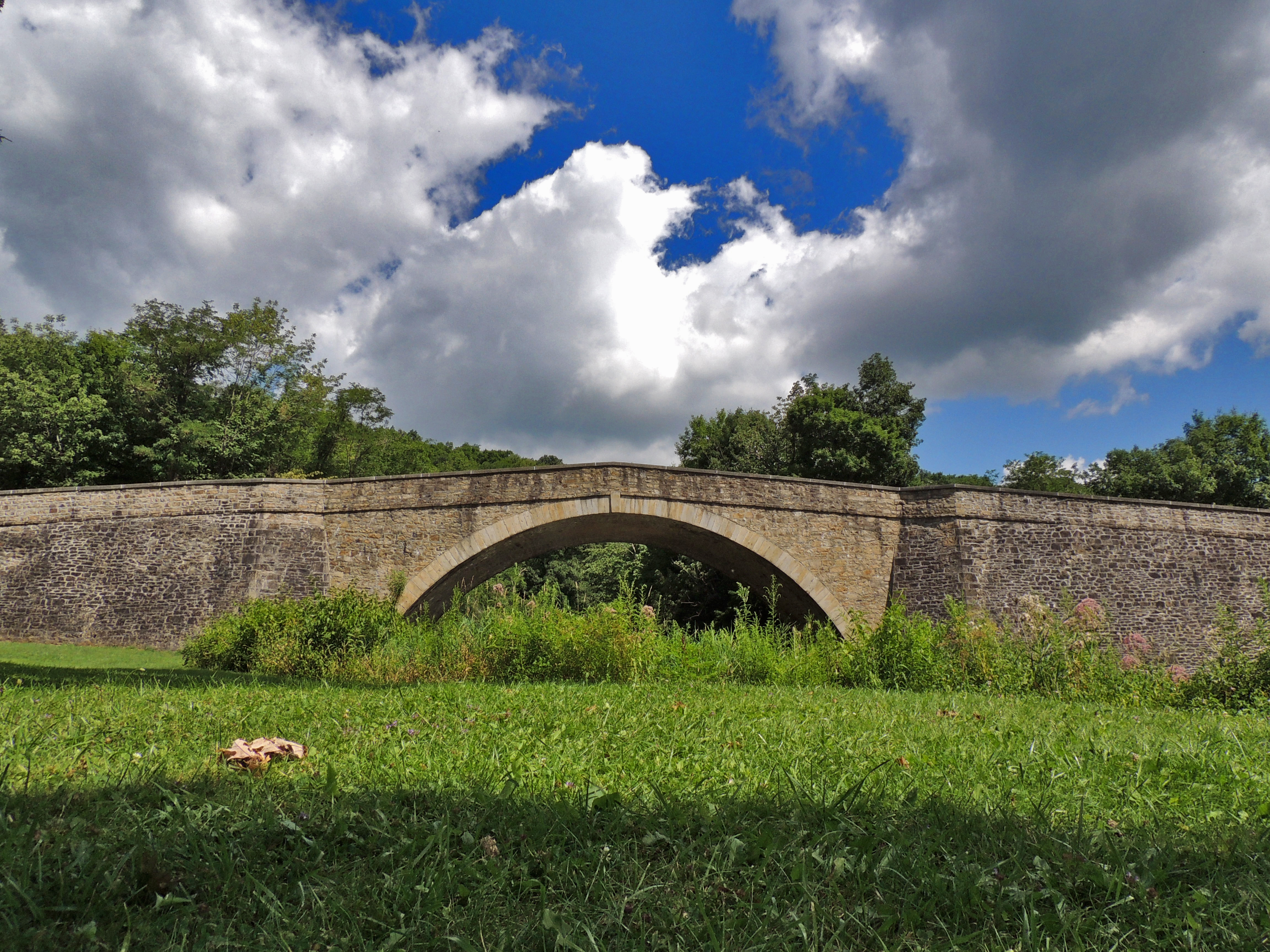
Cassleman River Bridge
Cassleman River Bridge

Cassleman River Bridge
Topographic Map of Chestnut Ridge Rd, Grantsville, MD, USA
Find elevation by address:

Places near Chestnut Ridge Rd, Grantsville, MD, USA:
64 Meadow Lake Dr
3, Grantsville
Grantsville
1562 Springs Rd
McAndrews Hill Rd, Grantsville, MD, USA
107 Shade Hollow Rd
New Germany State Park
422 Root Beachy Rd
706 Zehner Rd
1726 Durst Rd
Negro Mountain Church
Keysers Ridge
12, Bittinger
Bowman Hill Road
9743 Bittinger Rd
2294 National Pike
5, Accident
Garrett County
Main Street
Accident
Recent Searches:
- Elevation map of Kabardino-Balkarian Republic, Russia
- Elevation of Tyrnyauz, Kabardino-Balkarian Republic, Russia
- Elevation of Sunset Dr, Hernando, MS, USA
- Elevation of Lake Rotoroa, Tasman, New Zealand
- Elevation of George St, New Bern, NC, USA
- Elevation of Cove Rd, Jasper, GA, USA
- Elevation of Cove Rd, Jasper, GA, USA
- Elevation of South Yankee Meadow Road, Forest Road, Paragonah, UT, USA
- Elevation of SW Elderview Dr, Sherwood, OR, USA
- Elevation of Hickory St, Greenville, NC, USA