Elevation of N Hatch Loop, Bancroft, ID, USA
Location: United States > Idaho > Caribou County > Bancroft >
Longitude: -111.85267
Latitude: 42.8191691
Elevation: 1682m / 5518feet
Barometric Pressure: 83KPa
Elevation Map:
Satellite Map:
Related Photos:

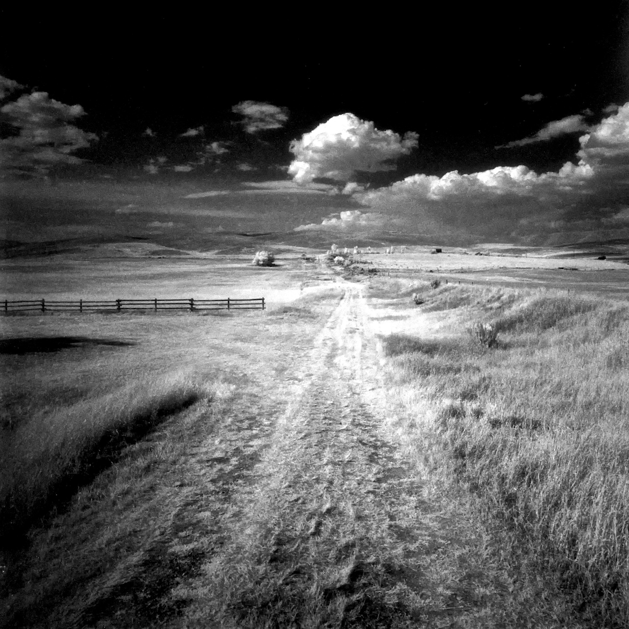
View From the Pulpit
CW6F3437.jpg

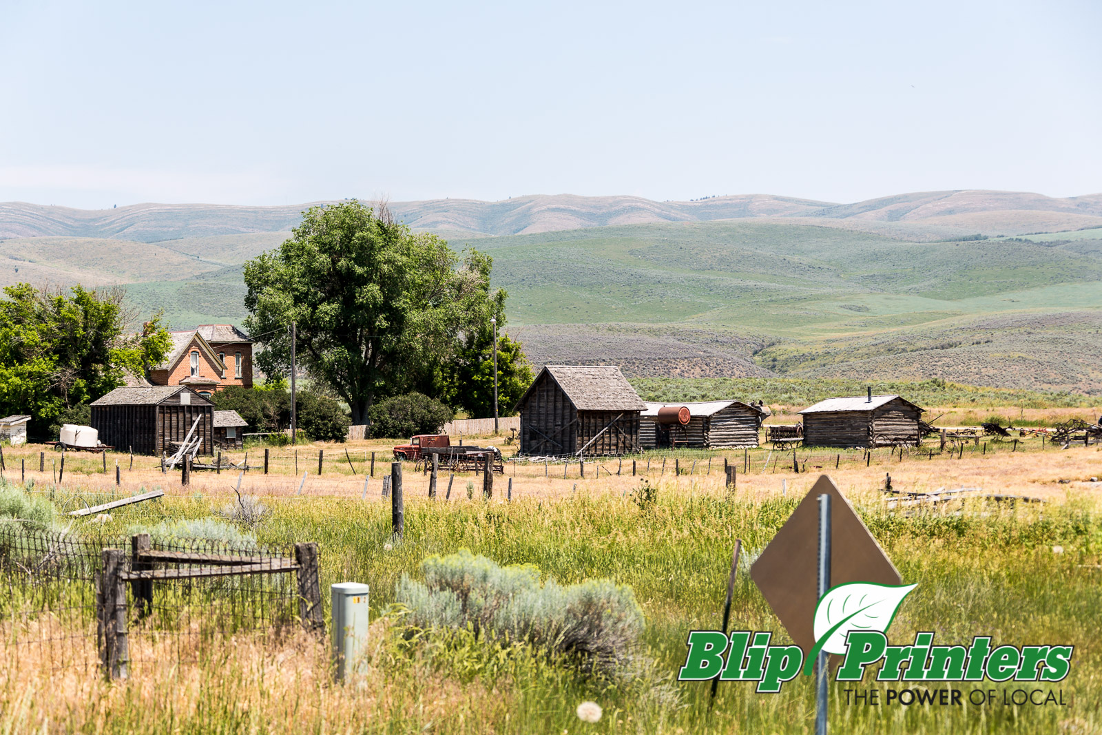
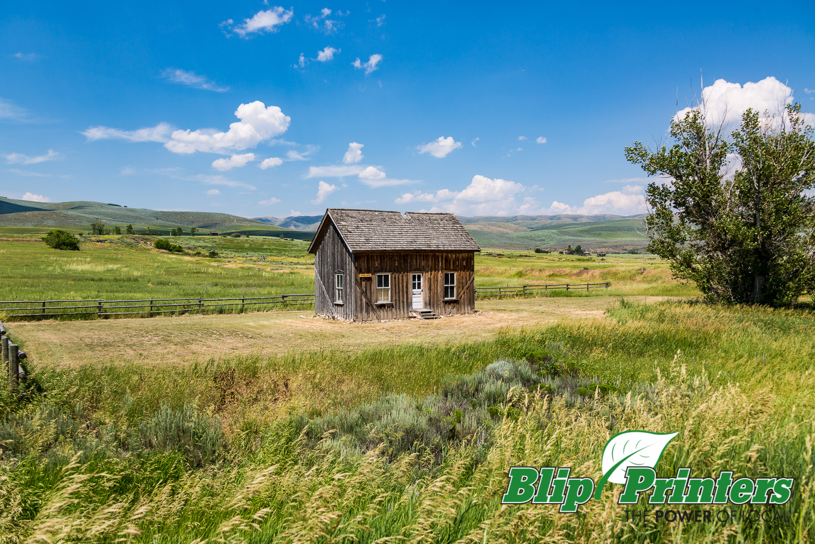
Chesterfield ghost town Idaho

CW6F3467.jpg

no wind today
Yomi-no-kuni

Chesterfield ghost town Idaho

CW6F3487.jpg
CW6F3599.jpg

CW6F3571.jpg

CW6F3464.jpg
Topographic Map of N Hatch Loop, Bancroft, ID, USA
Find elevation by address:

Places near N Hatch Loop, Bancroft, ID, USA:
Bancroft
224 S 1st E
Caribou County
Lava Hot Springs
11242 S Dempsey Creek Rd
Soda Springs
Deer Creek
Pebble Creek Ski Area
Pine Drive
9065 Big Bear Rd
Huggins Circle
262 S Old Hwy 91
Bannock County
Mccammon
1507 S Front St
6727 S Aslett Rd
S Marsh Creek Rd, McCammon, ID, USA
9066 S Robin Rd
Arimo
E Smith Canyon Rd, Downey, ID, USA
Recent Searches:
- Elevation of Kambingan Sa Pansol Atbp., Purok 7 Pansol, Candaba, Pampanga, Philippines
- Elevation of Pinewood Dr, New Bern, NC, USA
- Elevation of Mountain View, CA, USA
- Elevation of Foligno, Province of Perugia, Italy
- Elevation of Blauwestad, Netherlands
- Elevation of Bella Terra Blvd, Estero, FL, USA
- Elevation of Estates Loop, Priest River, ID, USA
- Elevation of Woodland Oak Pl, Thousand Oaks, CA, USA
- Elevation of Brownsdale Rd, Renfrew, PA, USA
- Elevation of Corcoran Ln, Suffolk, VA, USA