Elevation of E Smith Canyon Rd, Downey, ID, USA
Location: United States > Idaho > Bannock County > Downey >
Longitude: -112.15477
Latitude: 42.517588
Elevation: 1492m / 4895feet
Barometric Pressure: 85KPa
Elevation Map:
Satellite Map:
Related Photos:
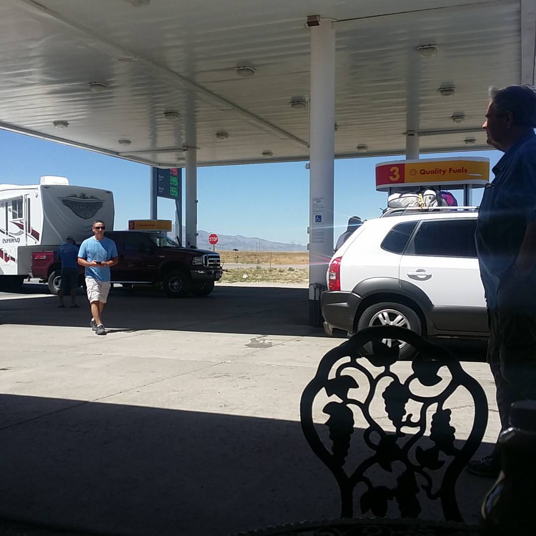
Salt lake city is a long way from Jackson!

Visitor Meanwhile

Ex CNW 6722 & SP 6150 Both C44AC
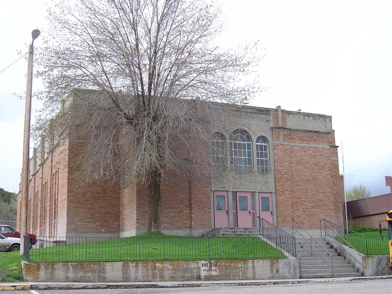
Lava High School Gym- Lava Hot Springs ID
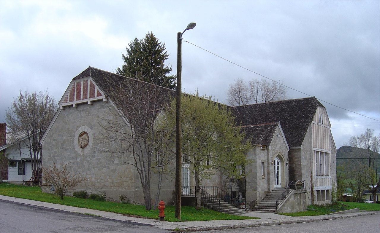
L.D.S. Ward Building- Lava Hot Springs ID
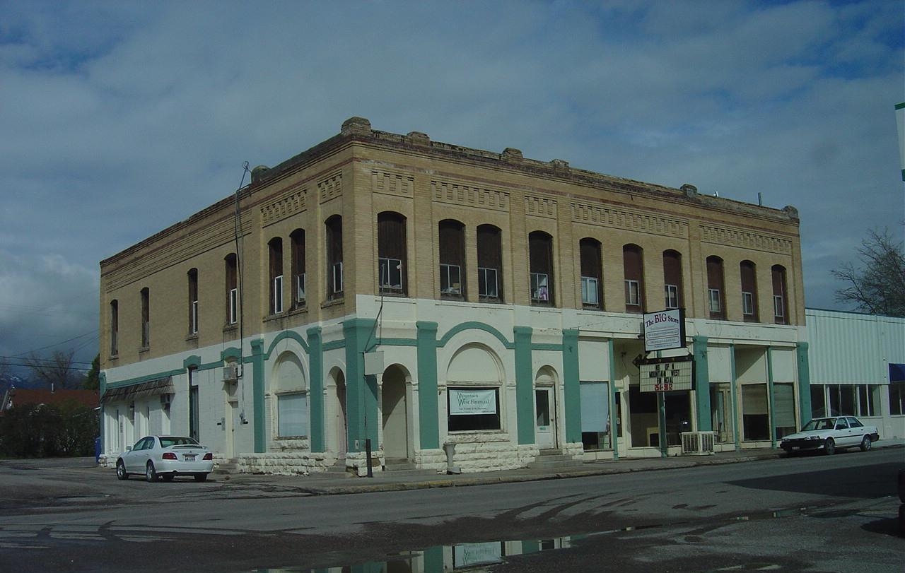
McCammon State Bank- McCammon ID

20150909_171041.jpg

Besökare Samtidigt

Interstate 15 auf dem Weg nach Salt Lake City

Interstate 15 auf dem Weg nach Salt Lake City

hay trolley
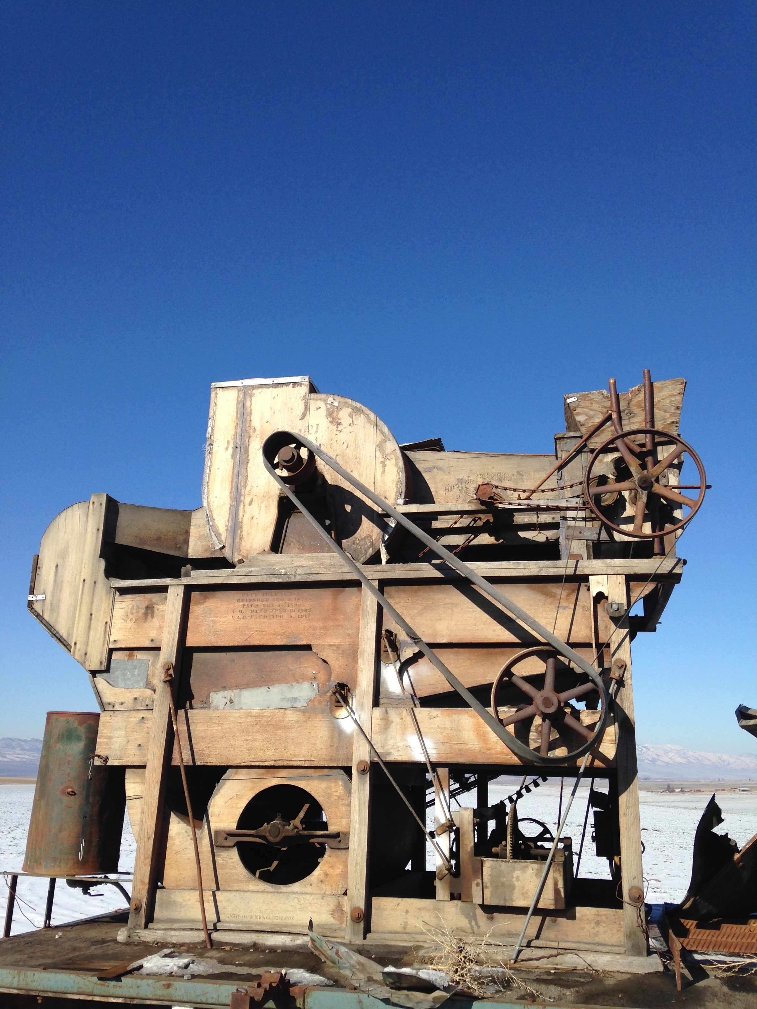
old grain blower
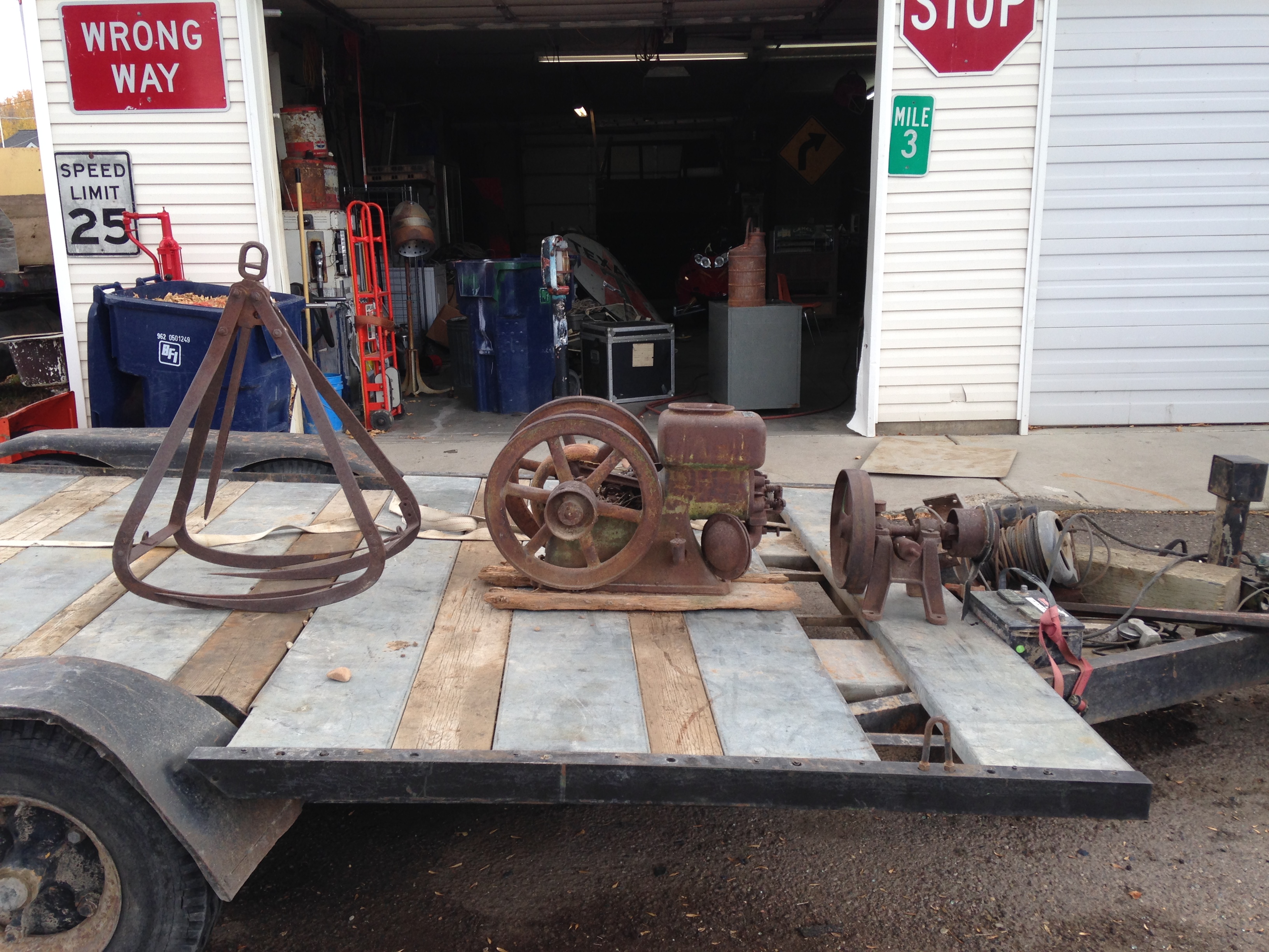
hercules 1919 hit or miss

oil can

Chipping Sparrow

Helmeted Guineafowl

Swainson's Hawk

Calliope Hummingbird

Red-tailed Hawk

American Goldfinch
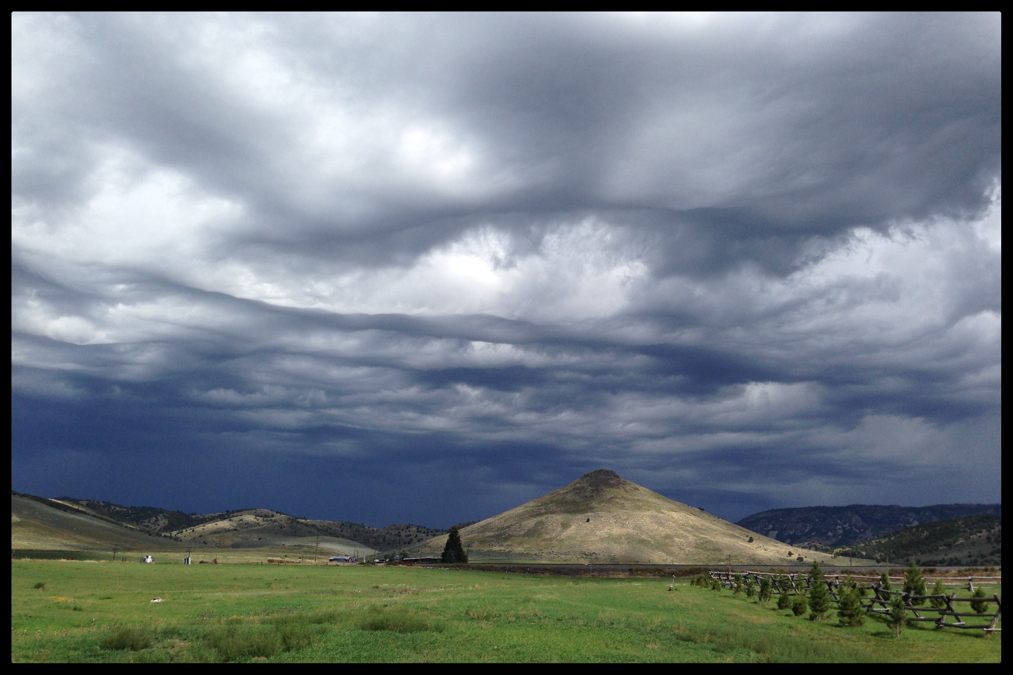
Future (or past) UFO abduction setting...
Topographic Map of E Smith Canyon Rd, Downey, ID, USA
Find elevation by address:

Places near E Smith Canyon Rd, Downey, ID, USA:
S Washington Ave, Downey, ID, USA
Arimo
U.s. 91
Bannock County
Downey
Huggins Circle
9065 Big Bear Rd
W Glover Rd, Arimo, ID, USA
Pine Drive
1507 S Front St
9066 S Robin Rd
Butch Spring
Deer Creek
Mccammon
11242 S Dempsey Creek Rd
6727 S Aslett Rd
Lava Hot Springs
S Marsh Creek Rd, McCammon, ID, USA
Devils Creek Reservoir
262 S Old Hwy 91
Recent Searches:
- Elevation of Elwyn Dr, Roanoke Rapids, NC, USA
- Elevation of Congressional Dr, Stevensville, MD, USA
- Elevation of Bellview Rd, McLean, VA, USA
- Elevation of Stage Island Rd, Chatham, MA, USA
- Elevation of Shibuya Scramble Crossing, 21 Udagawacho, Shibuya City, Tokyo -, Japan
- Elevation of Jadagoniai, Kaunas District Municipality, Lithuania
- Elevation of Pagonija rock, Kranto 7-oji g. 8"N, Kaunas, Lithuania
- Elevation of Co Rd 87, Jamestown, CO, USA
- Elevation of Tenjo, Cundinamarca, Colombia
- Elevation of Côte-des-Neiges, Montreal, QC H4A 3J6, Canada