Elevation of Big Bear Rd, Lava Hot Springs, ID, USA
Location: United States > Idaho > Bannock County > Lava Hot Springs >
Longitude: -112.05054
Latitude: 42.54216
Elevation: 2148m / 7047feet
Barometric Pressure: 78KPa
Elevation Map:
Satellite Map:
Related Photos:
032613-130F

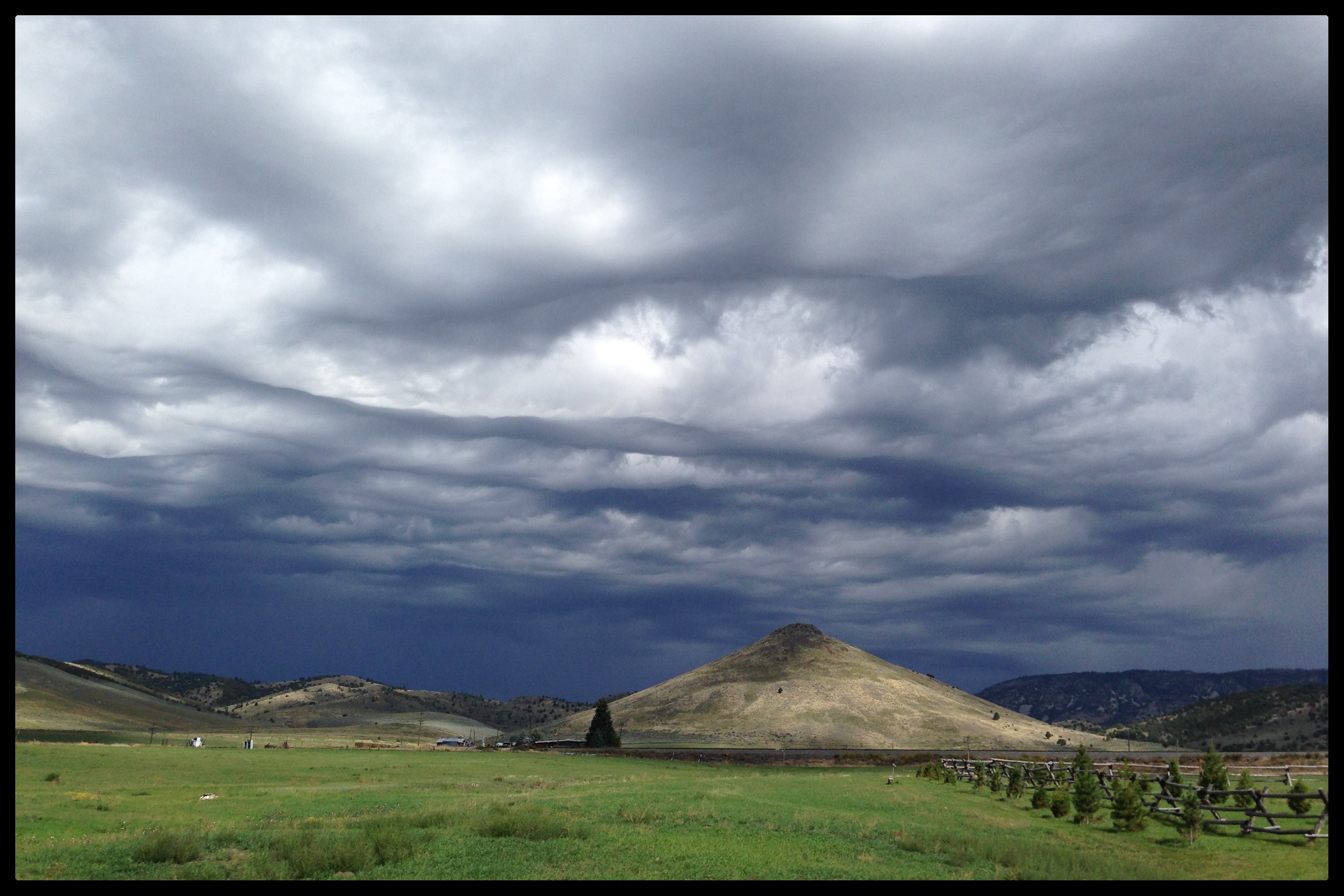
West of Chesterfield panorama

Jct. I-15 on ID-40 West
Future (or past) UFO abduction setting...
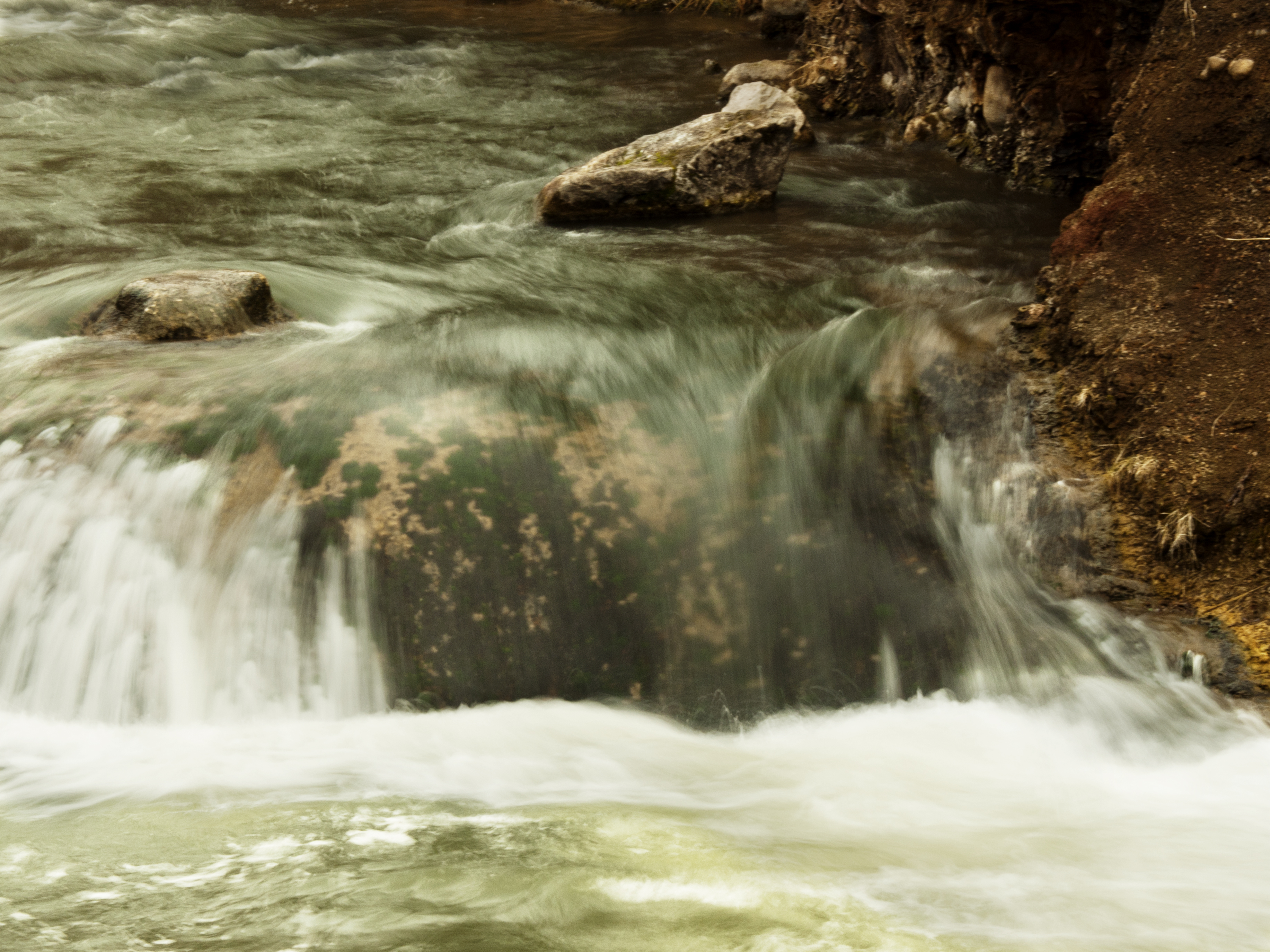
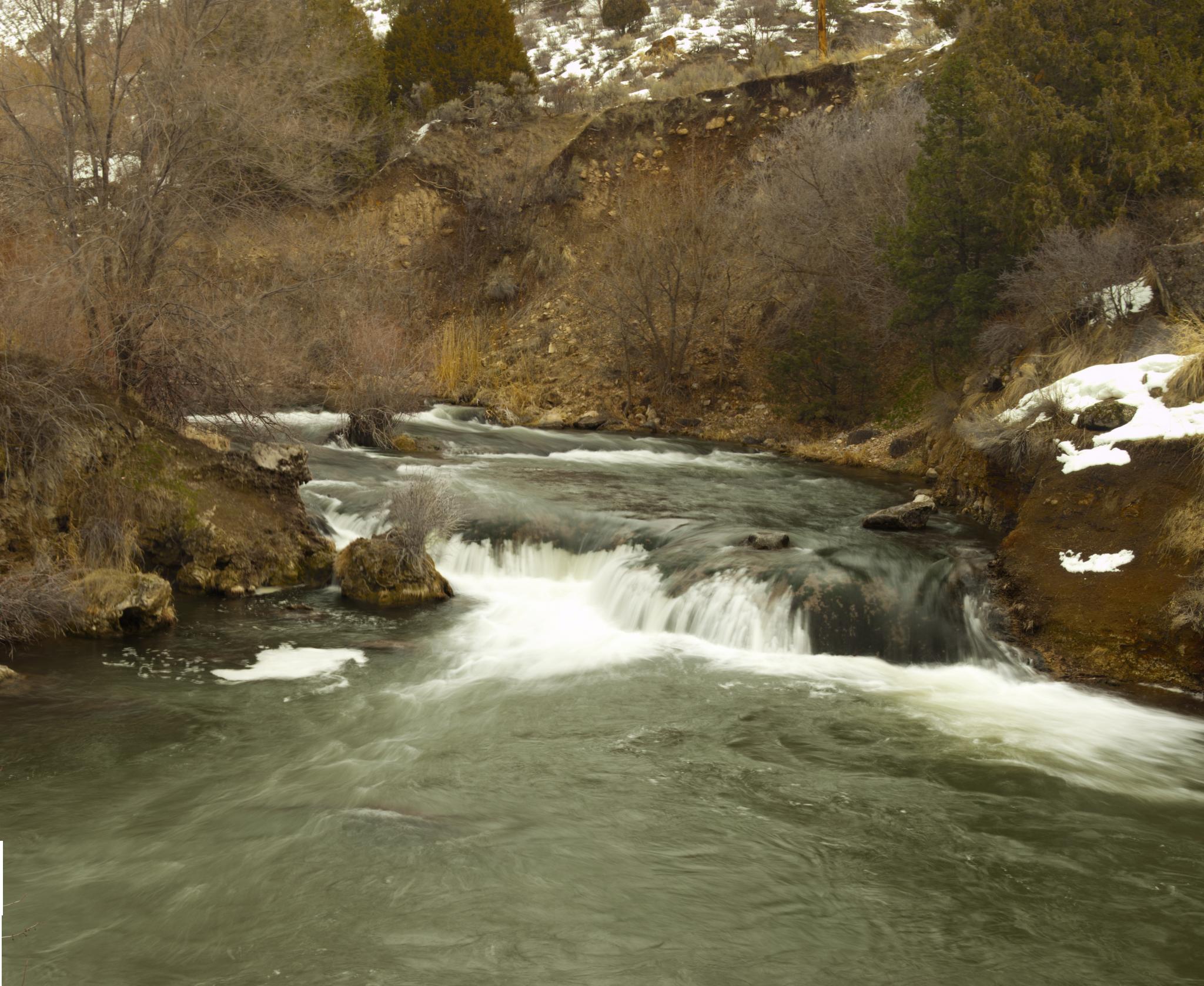
Water... Falls

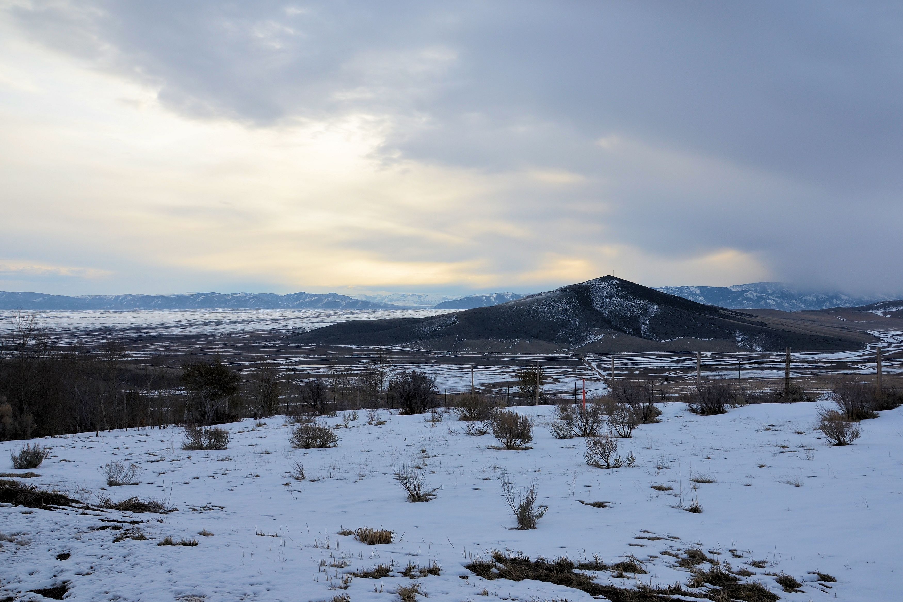
Idaho Mountains
Portnuef HDR 3
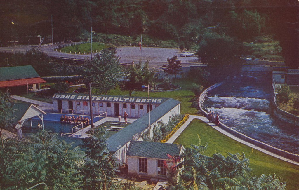
Lava Hot Springs Foundation - Lava Hot Springs, Idaho
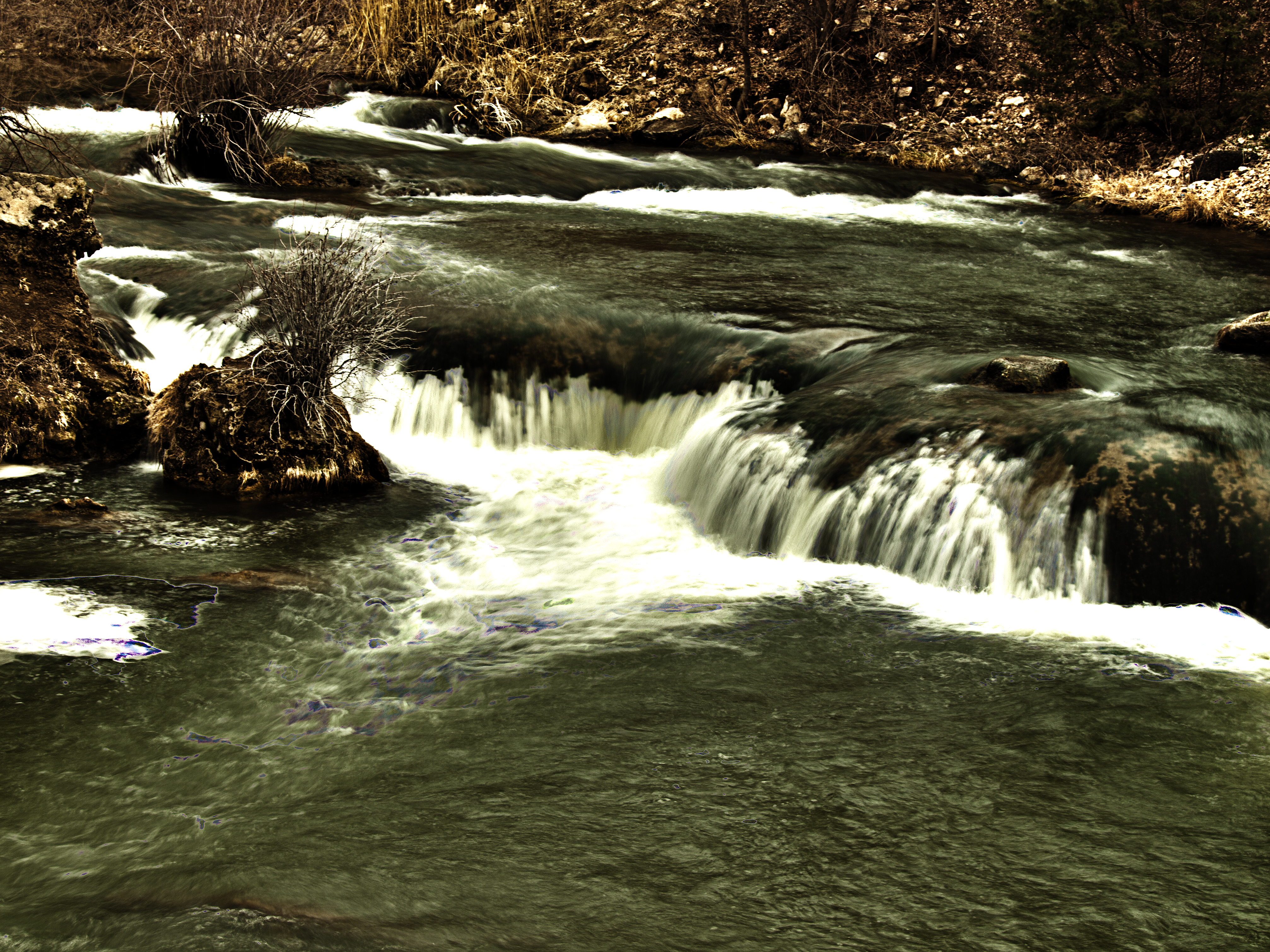
Portnuef Cascades CLOSER HDR

Boise 043
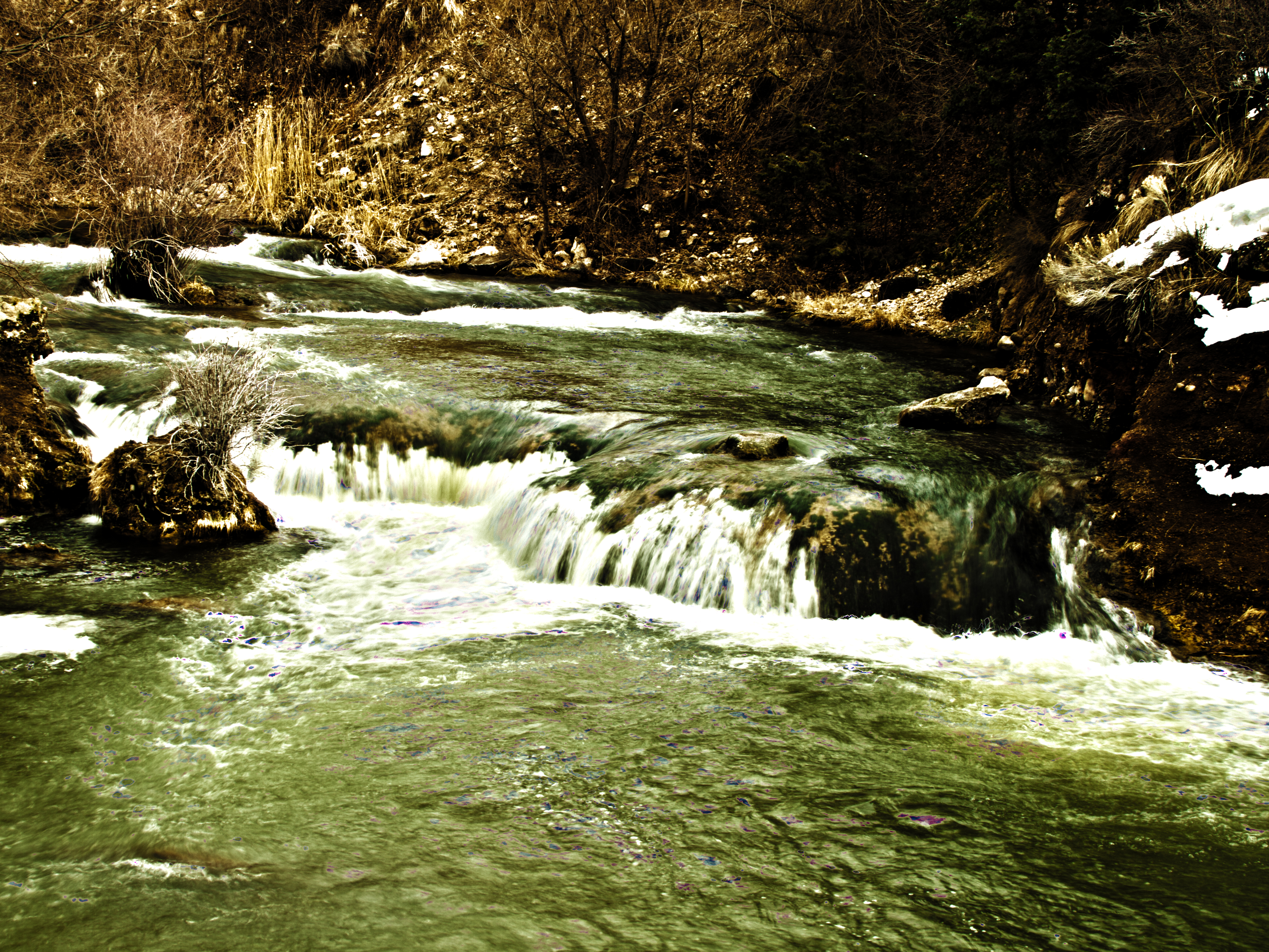
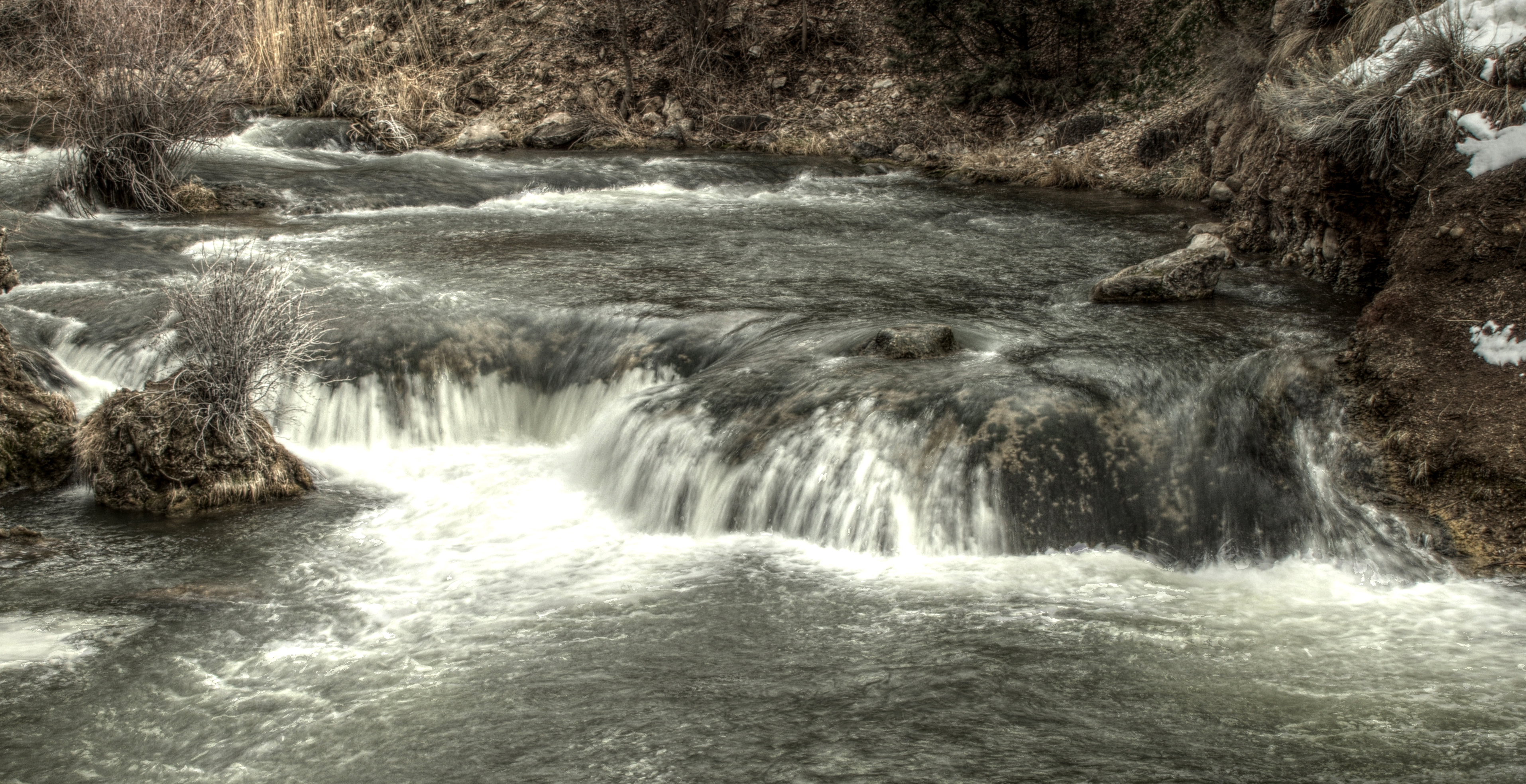
Portnuef Cascades In Lava Hot Springs HDR

032613-129F
2010-07-13 08.27.49
Nine Exposure Poertnuef Cascade

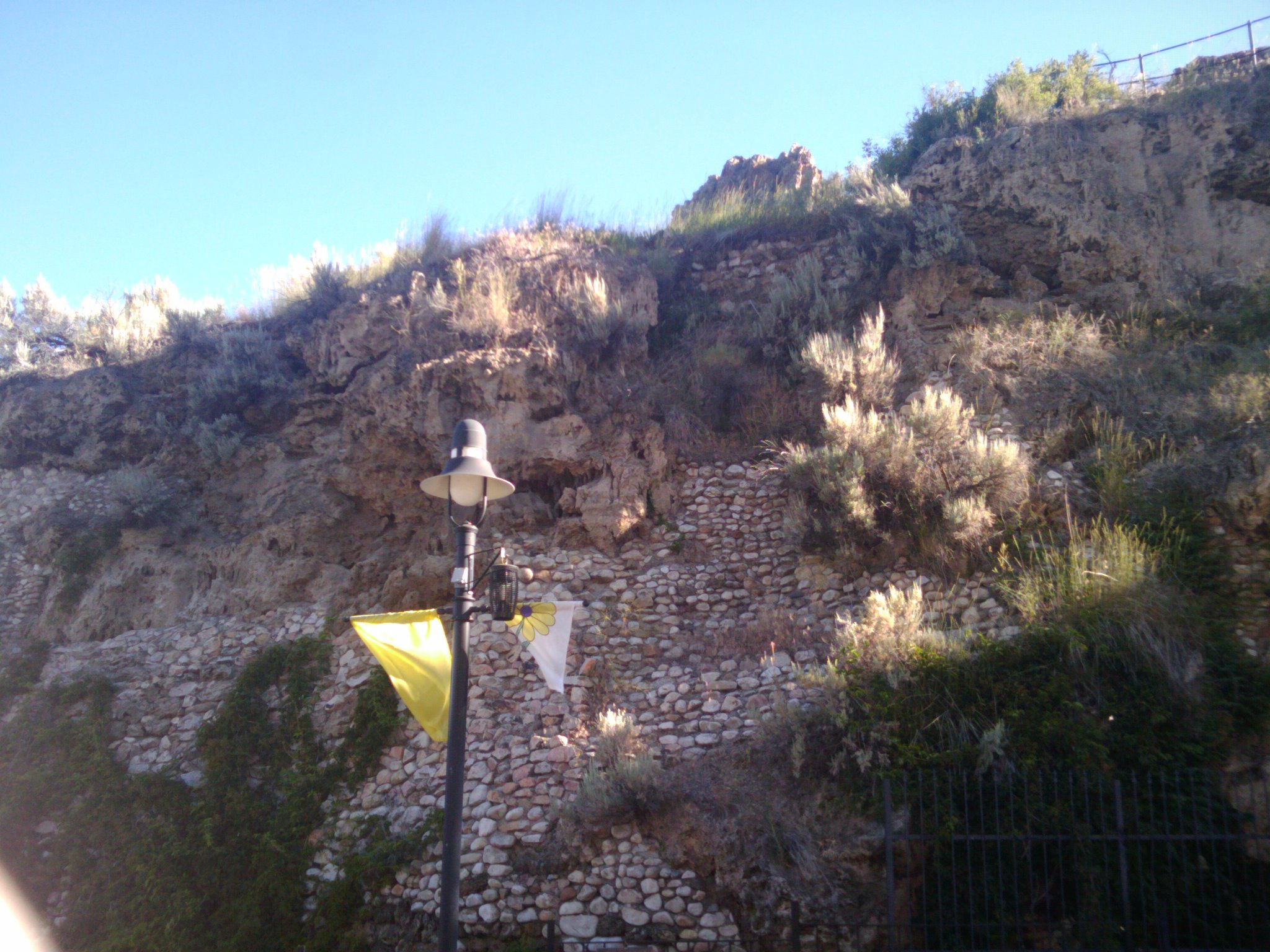
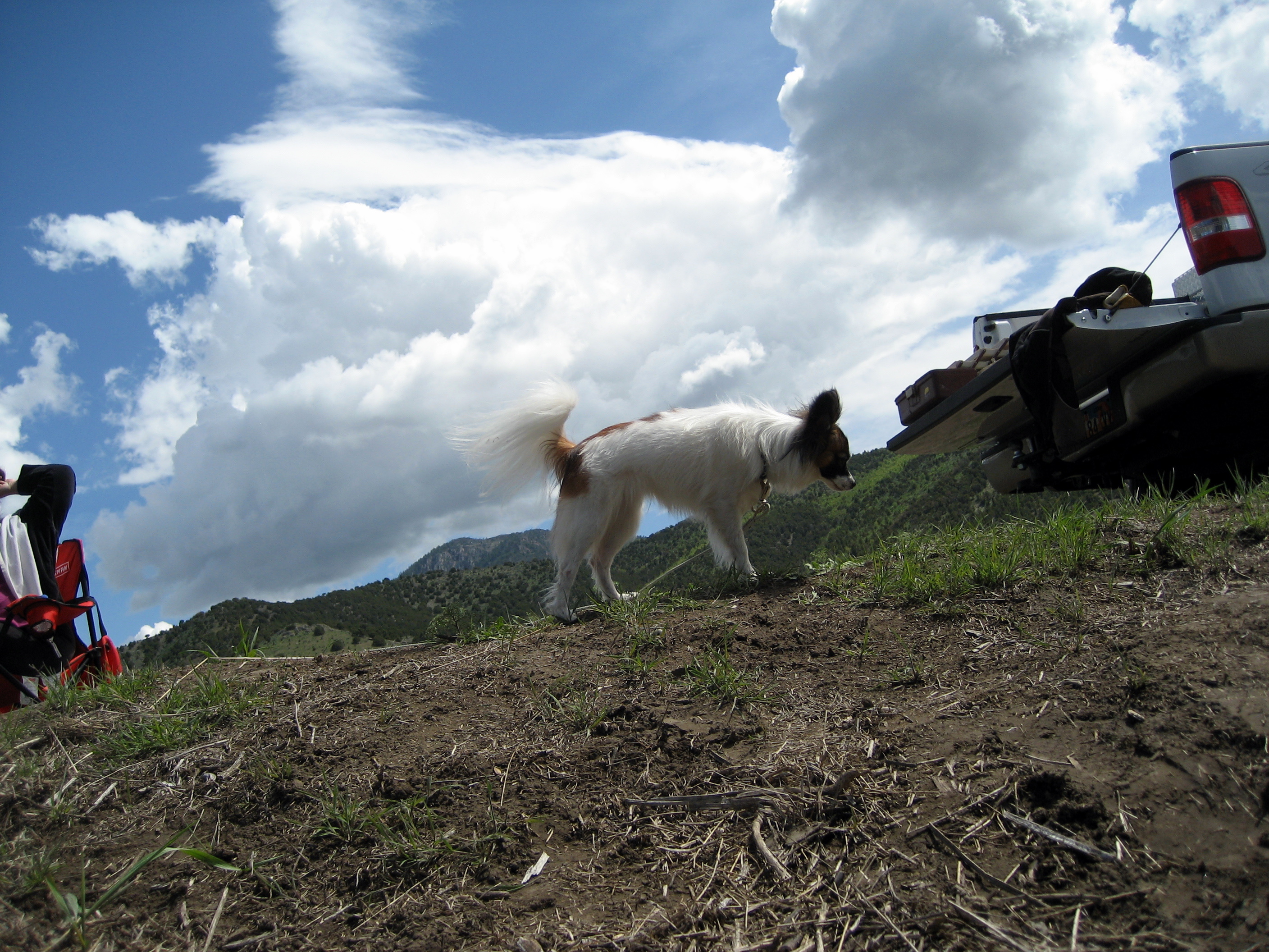
L on Mountain

2008 05 24 (127)

Portneuf River | Lava Hot Springs, ID

River in Idaho

Lava Hot Springs Idaho

Lava Hot Springs
2008 05 25 (141)
Topographic Map of Big Bear Rd, Lava Hot Springs, ID, USA
Find elevation by address:

Places near Big Bear Rd, Lava Hot Springs, ID, USA:
Huggins Circle
Deer Creek
Pine Drive
11242 S Dempsey Creek Rd
Lava Hot Springs
Bannock County
E Smith Canyon Rd, Downey, ID, USA
Arimo
S Washington Ave, Downey, ID, USA
U.s. 91
Downey
1507 S Front St
Mccammon
9066 S Robin Rd
W Glover Rd, Arimo, ID, USA
6727 S Aslett Rd
Swan Lake Rd, Downey, ID, USA
Butch Spring
224 S 1st E
Bancroft
Recent Searches:
- Elevation of Congressional Dr, Stevensville, MD, USA
- Elevation of Bellview Rd, McLean, VA, USA
- Elevation of Stage Island Rd, Chatham, MA, USA
- Elevation of Shibuya Scramble Crossing, 21 Udagawacho, Shibuya City, Tokyo -, Japan
- Elevation of Jadagoniai, Kaunas District Municipality, Lithuania
- Elevation of Pagonija rock, Kranto 7-oji g. 8"N, Kaunas, Lithuania
- Elevation of Co Rd 87, Jamestown, CO, USA
- Elevation of Tenjo, Cundinamarca, Colombia
- Elevation of Côte-des-Neiges, Montreal, QC H4A 3J6, Canada
- Elevation of Bobcat Dr, Helena, MT, USA