Elevation of Arimo, ID, USA
Location: United States > Idaho > Bannock County >
Longitude: -112.17135
Latitude: 42.559917
Elevation: 1445m / 4741feet
Barometric Pressure: 85KPa
Elevation Map:
Satellite Map:
Related Photos:
Day 92 - McCammon
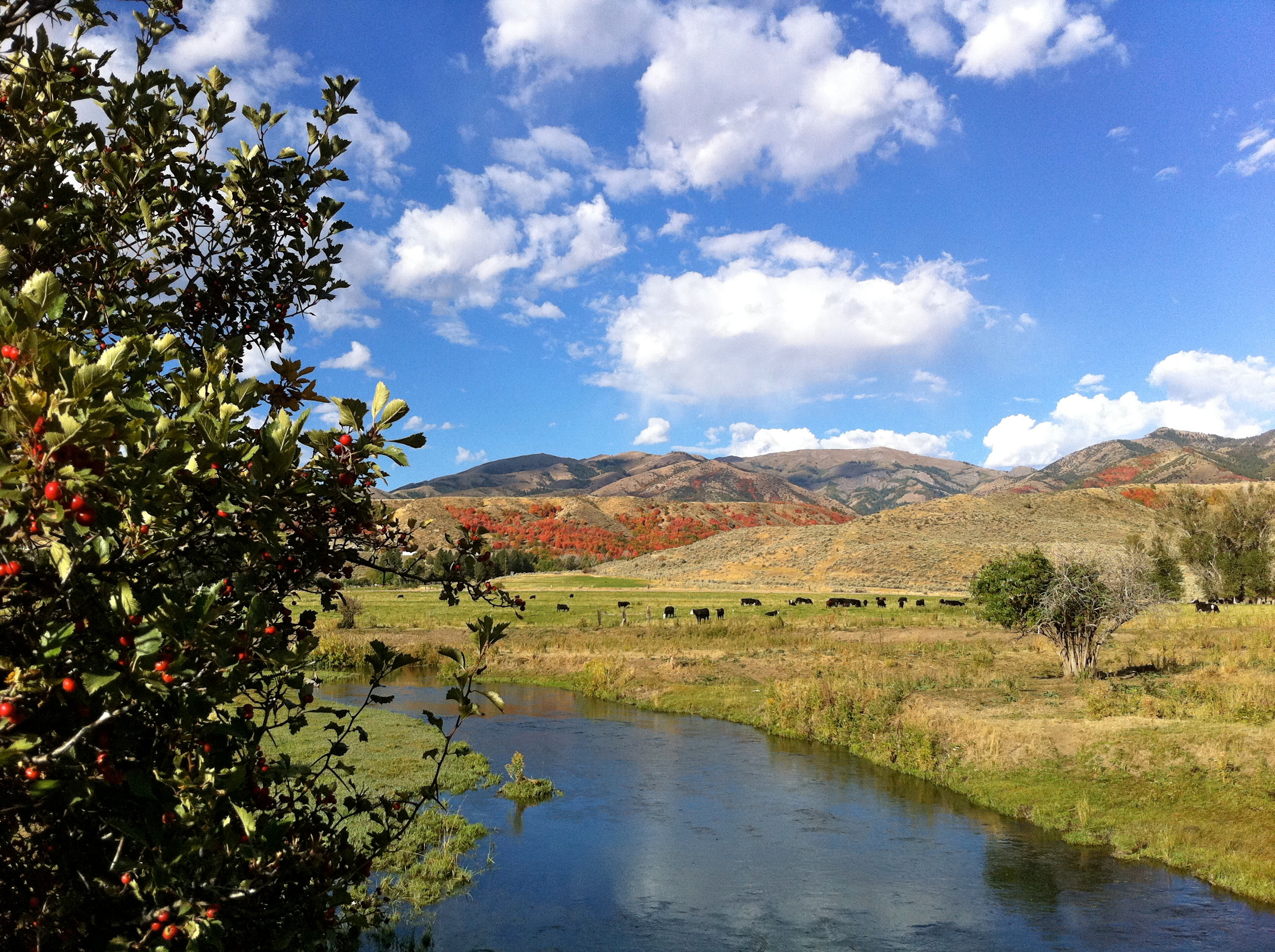
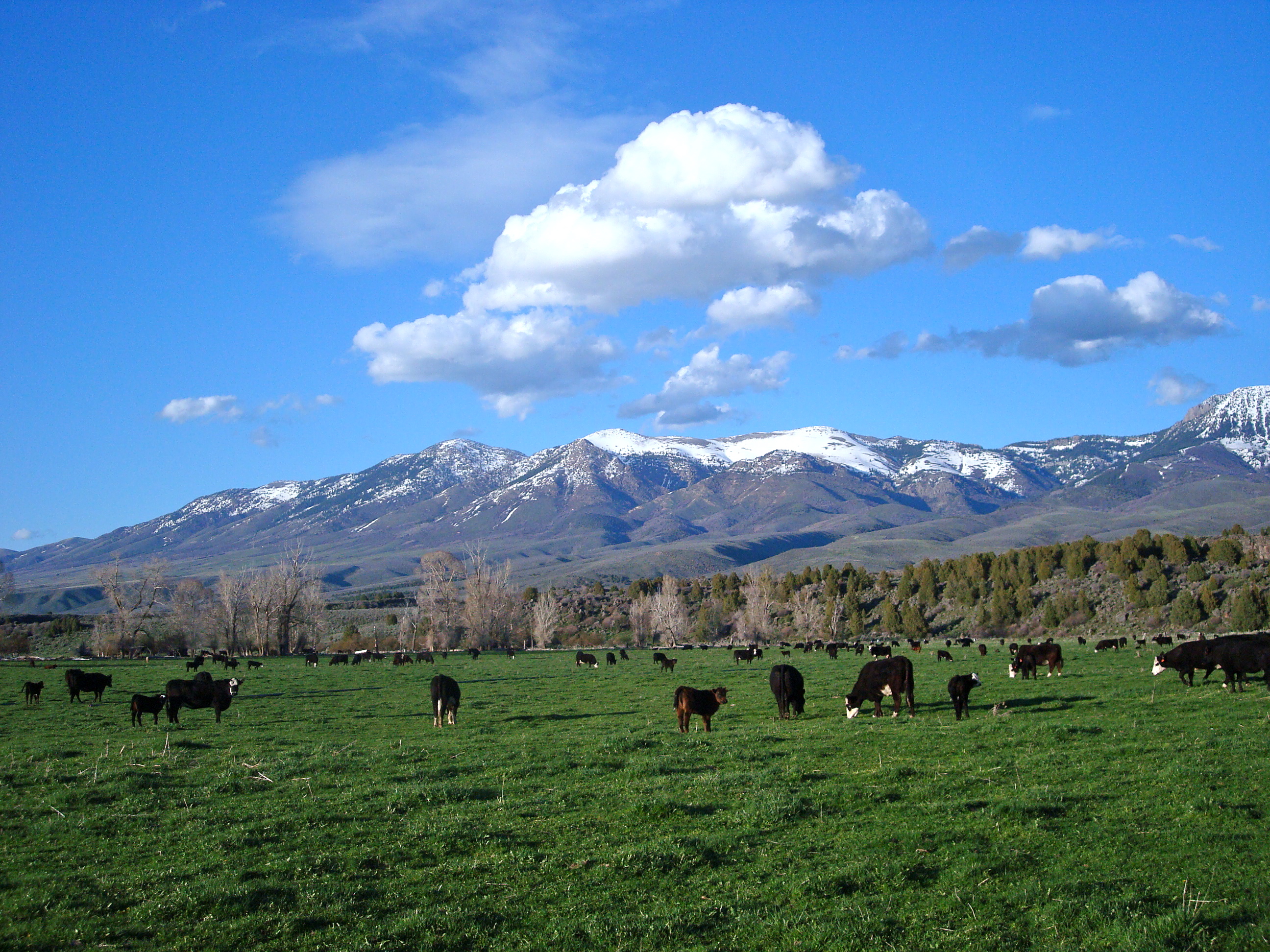
CFBullock Ranch
CFBullock Ranch
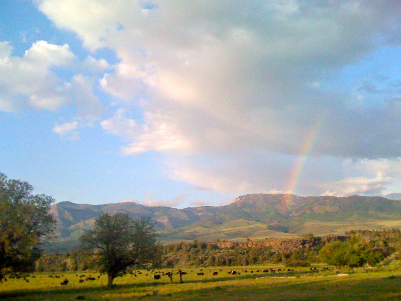
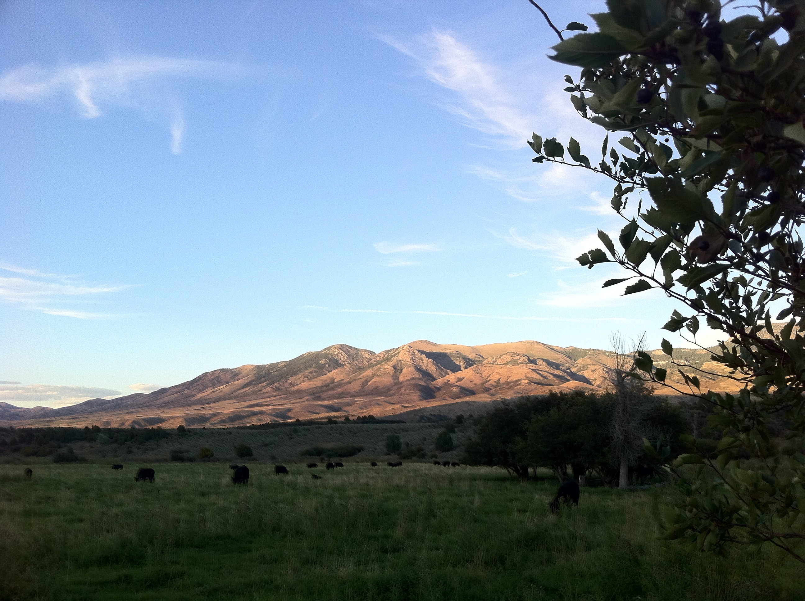
Land Available for Lease
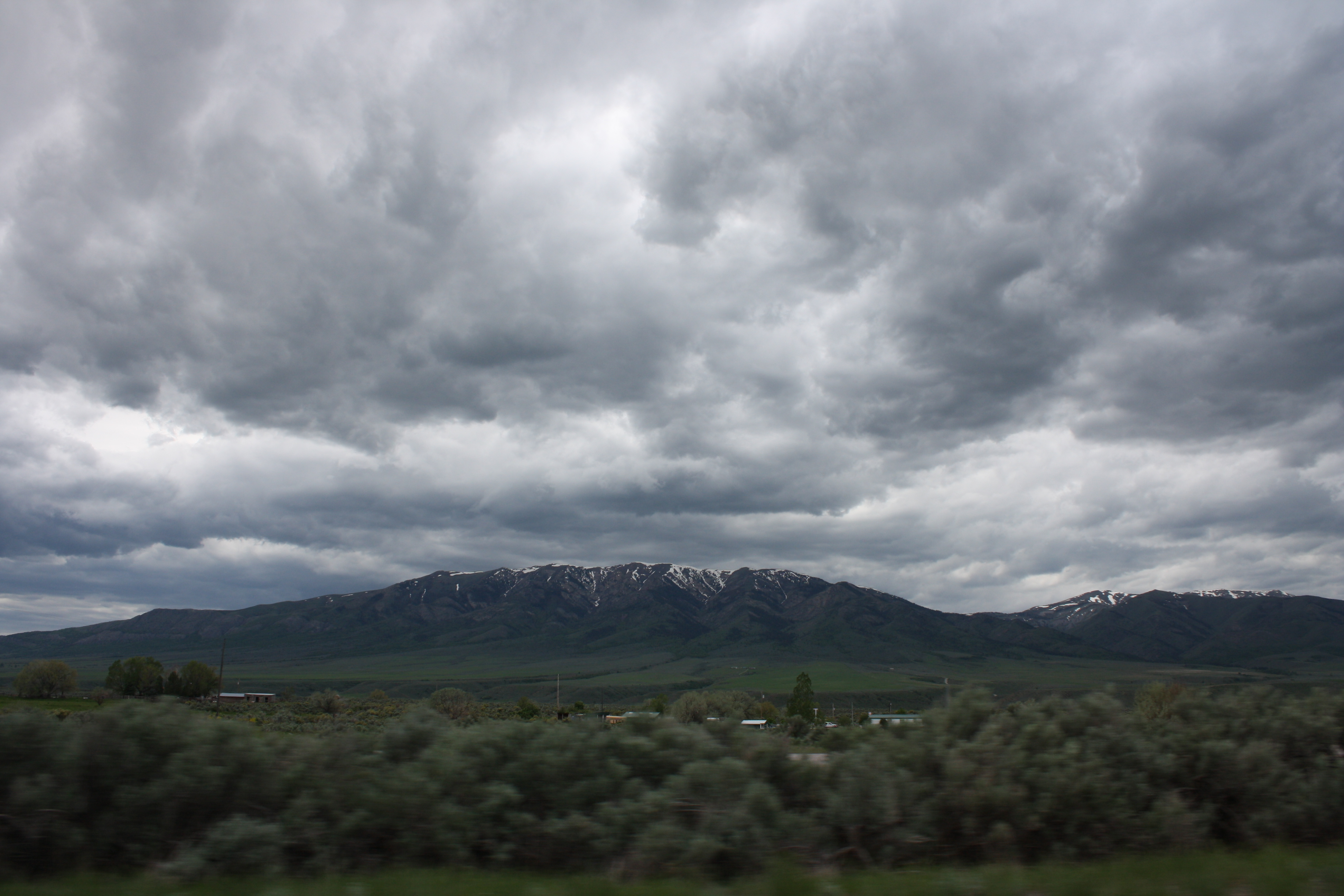
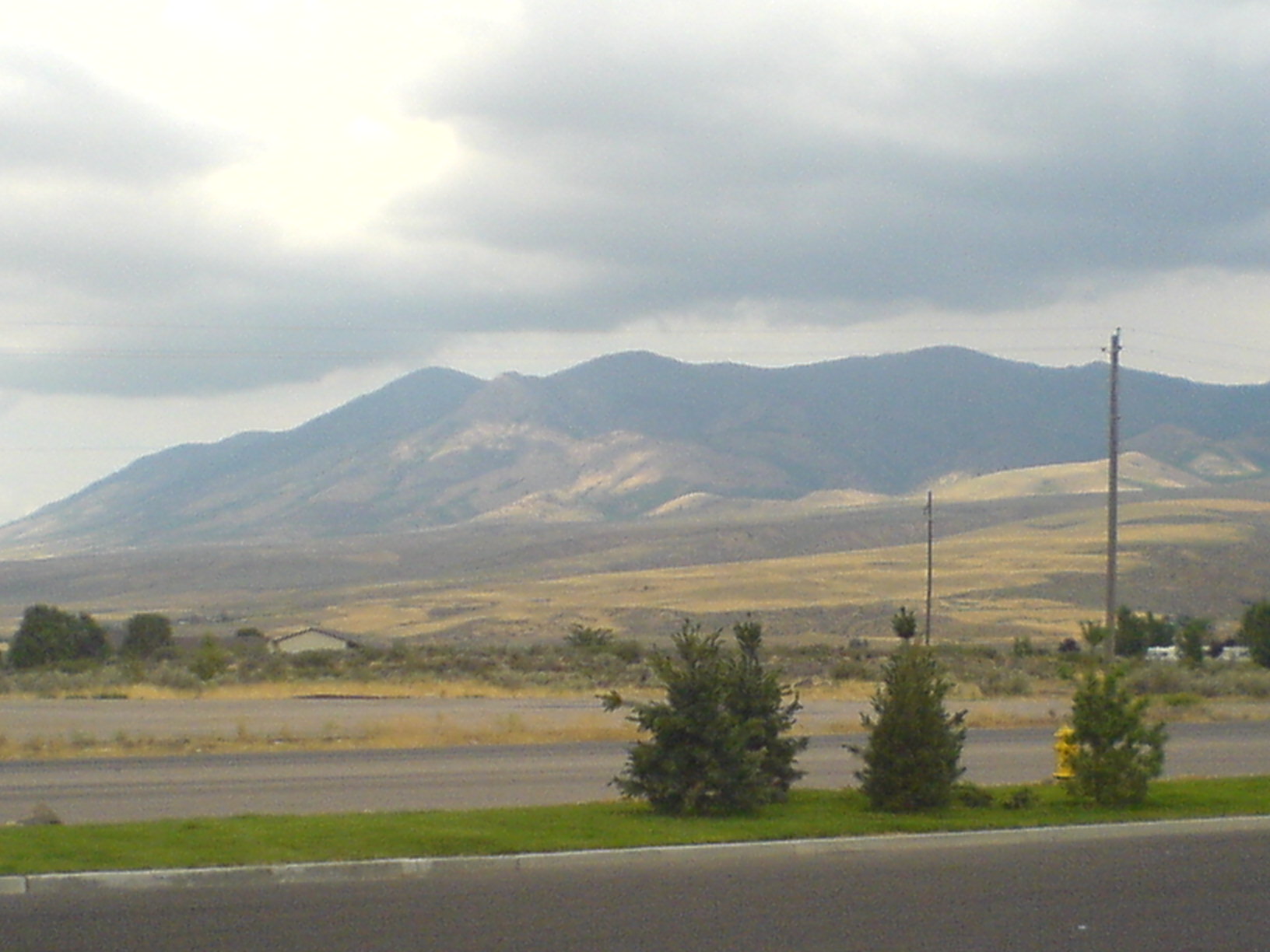
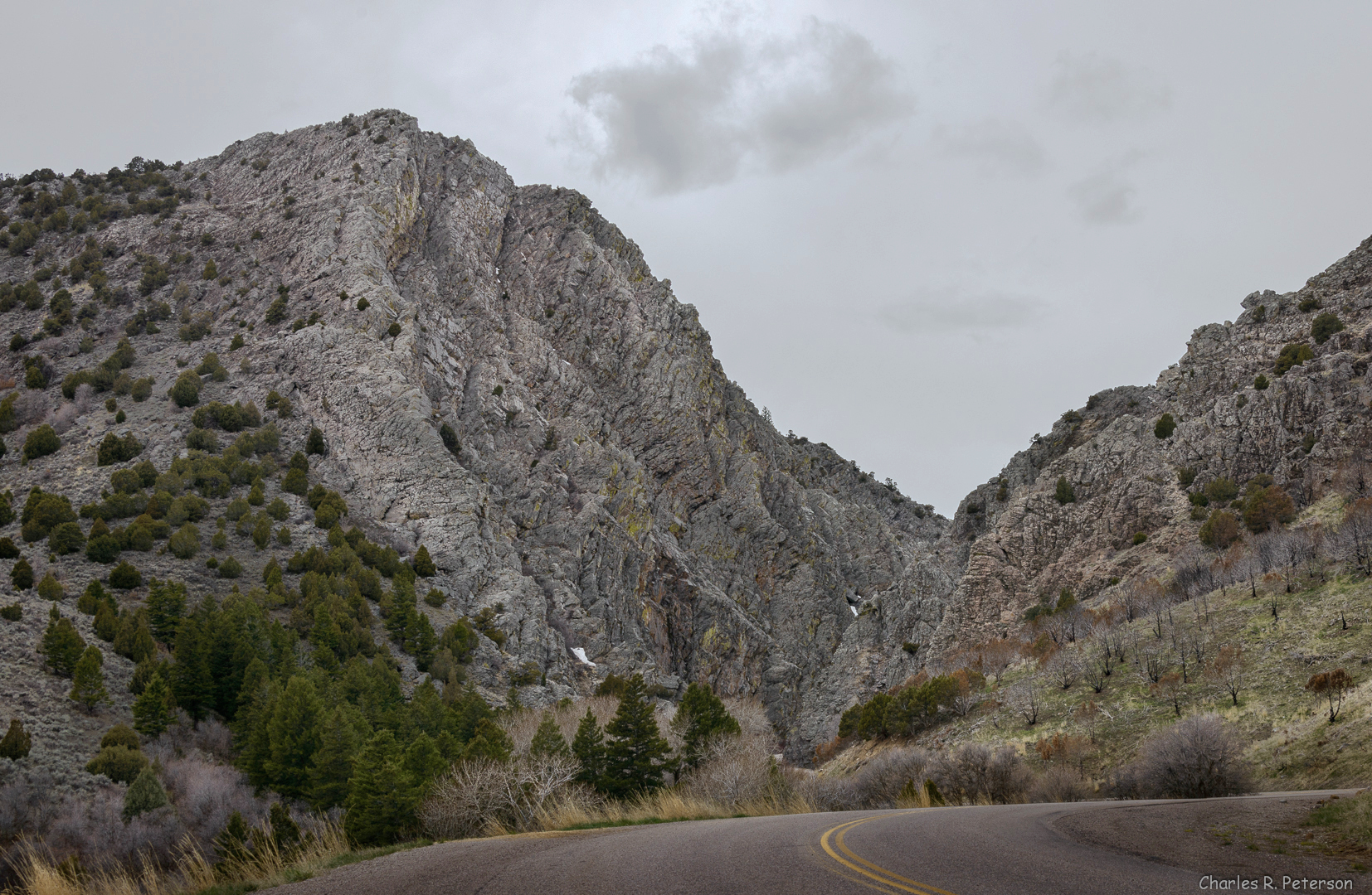
An Idaho mountain off of I-15 somewhere
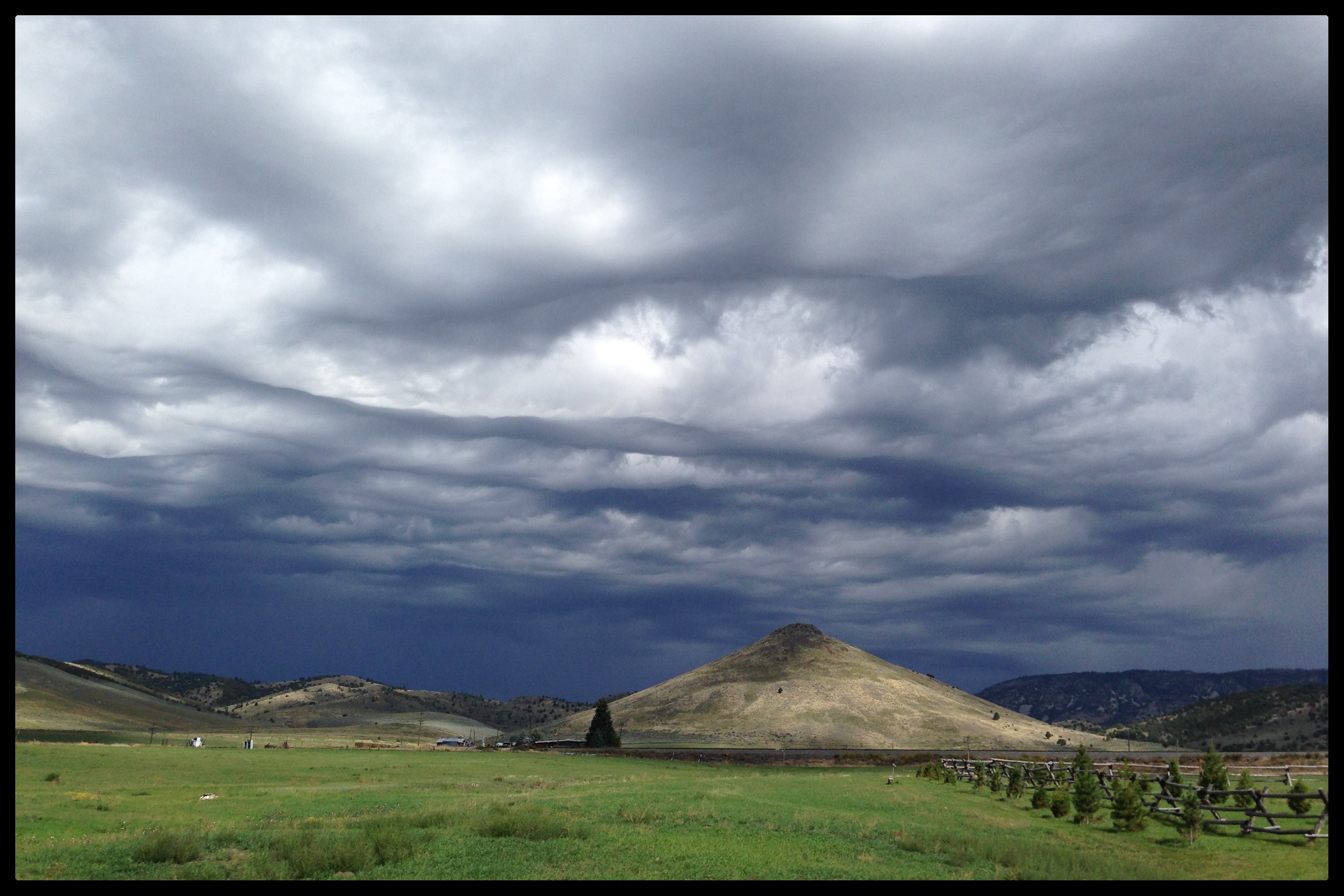
Future (or past) UFO abduction setting...
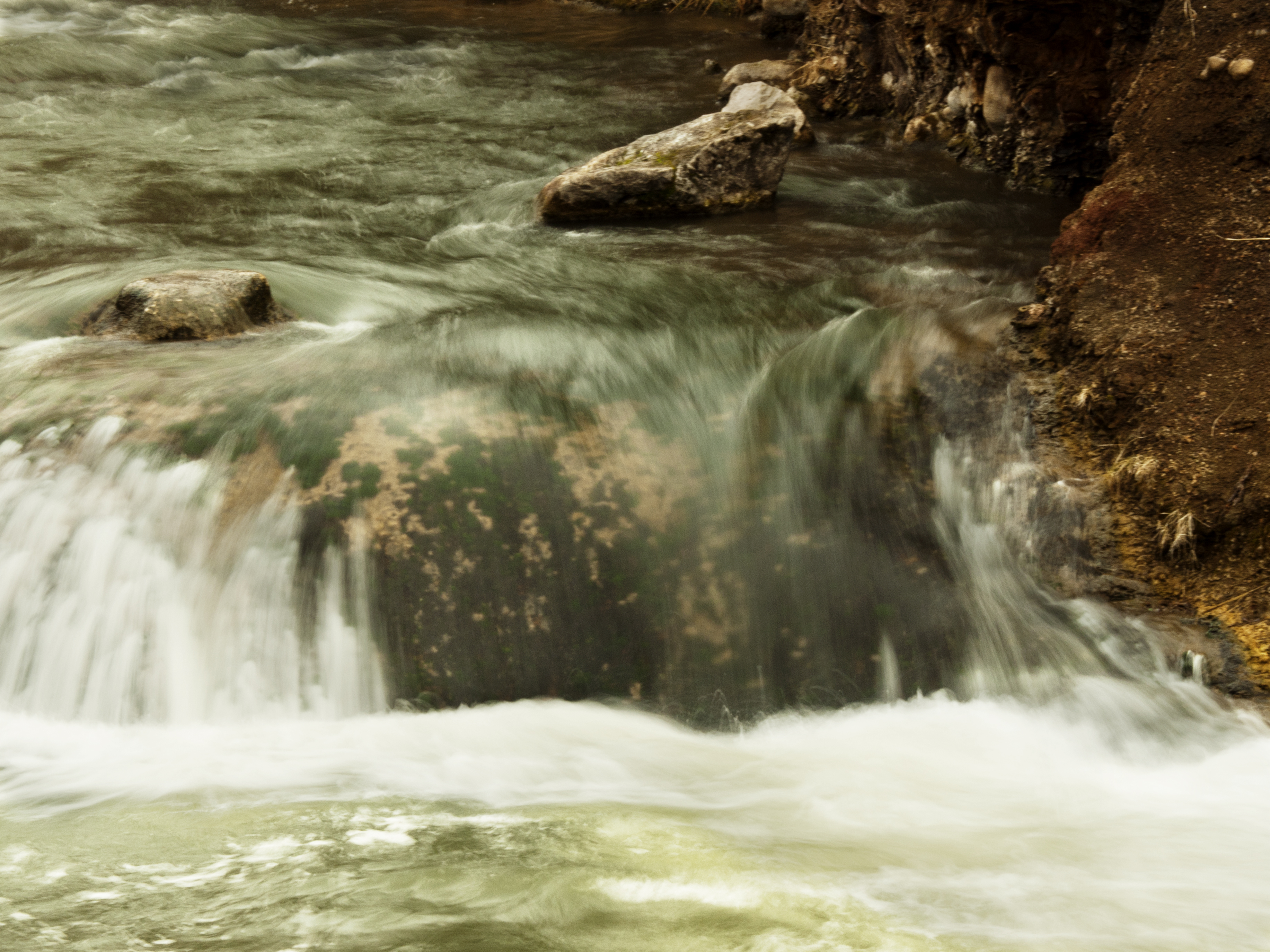
Water... Falls
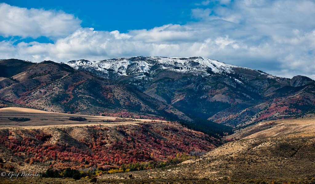
Fall colours.

Idaho Mountains

Boise 045
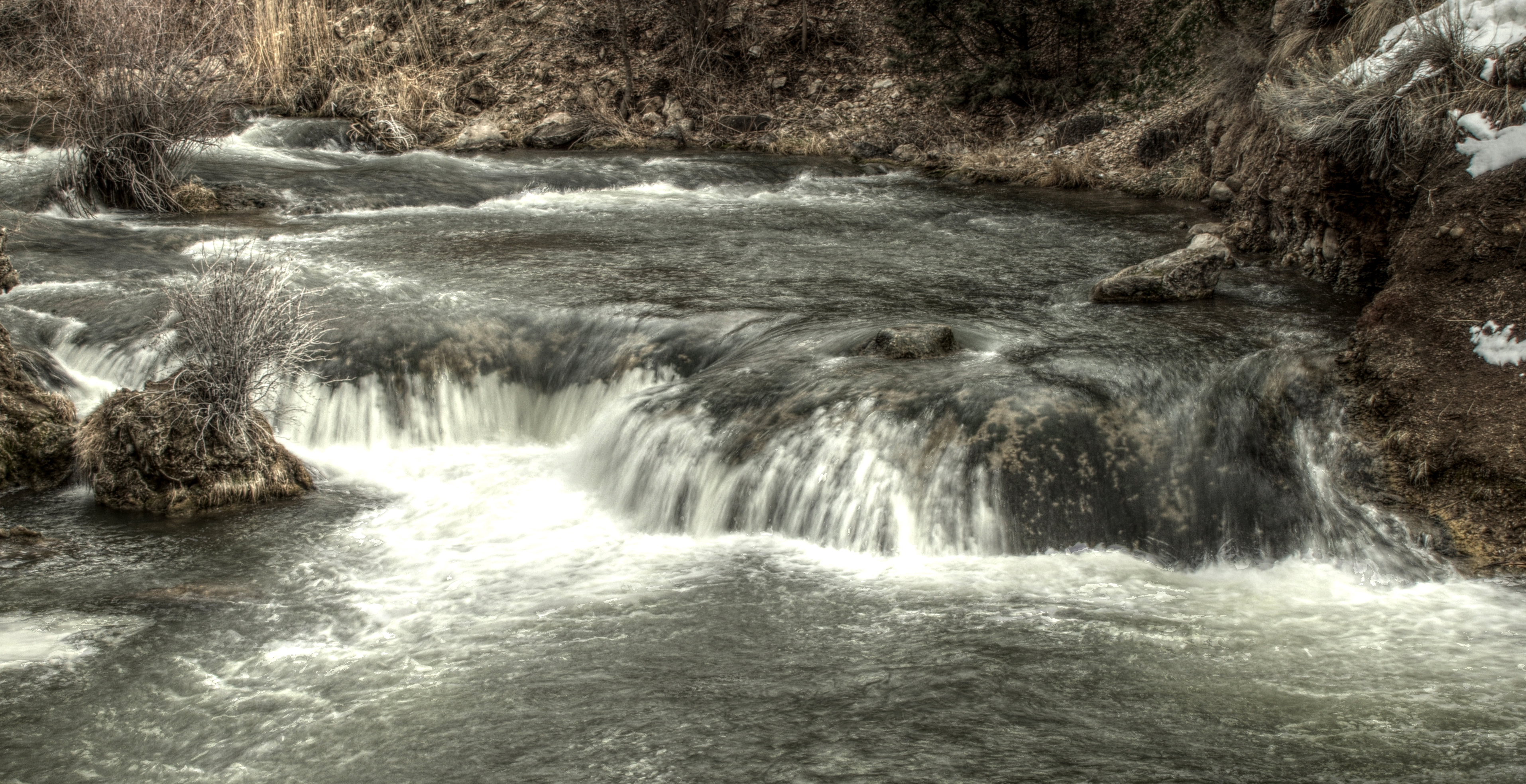
Portnuef HDR 3
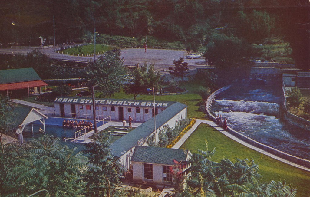
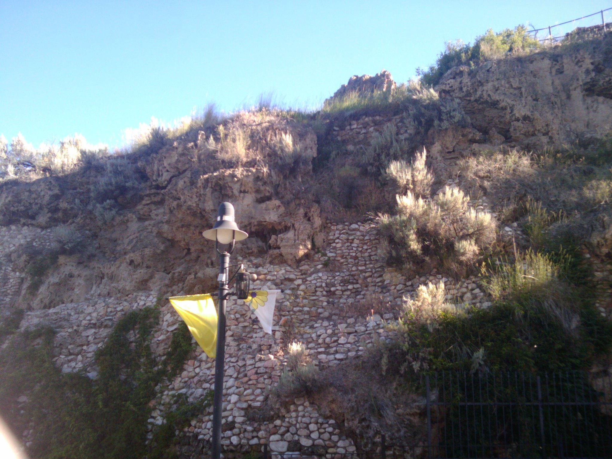
Lava Hot Springs Foundation - Lava Hot Springs, Idaho
Land Available for Lease
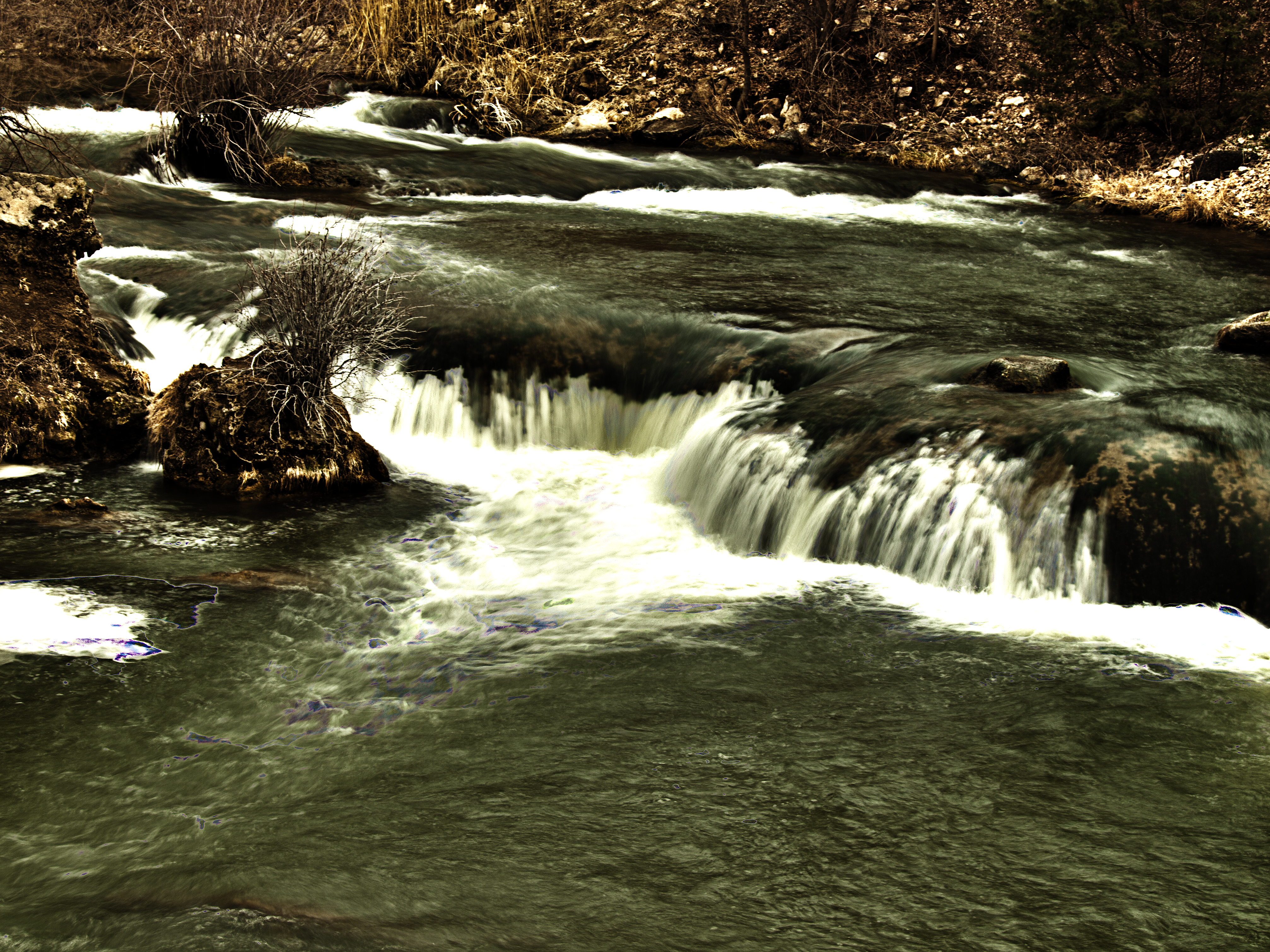
Portnuef Cascades CLOSER HDR

Boise 043
Garden Creek Gap - Idaho - Looking West
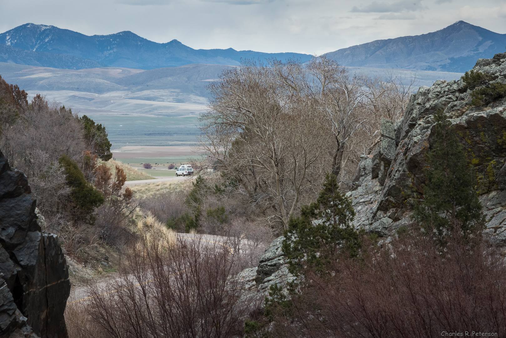
Garden Creek Gap - Idaho
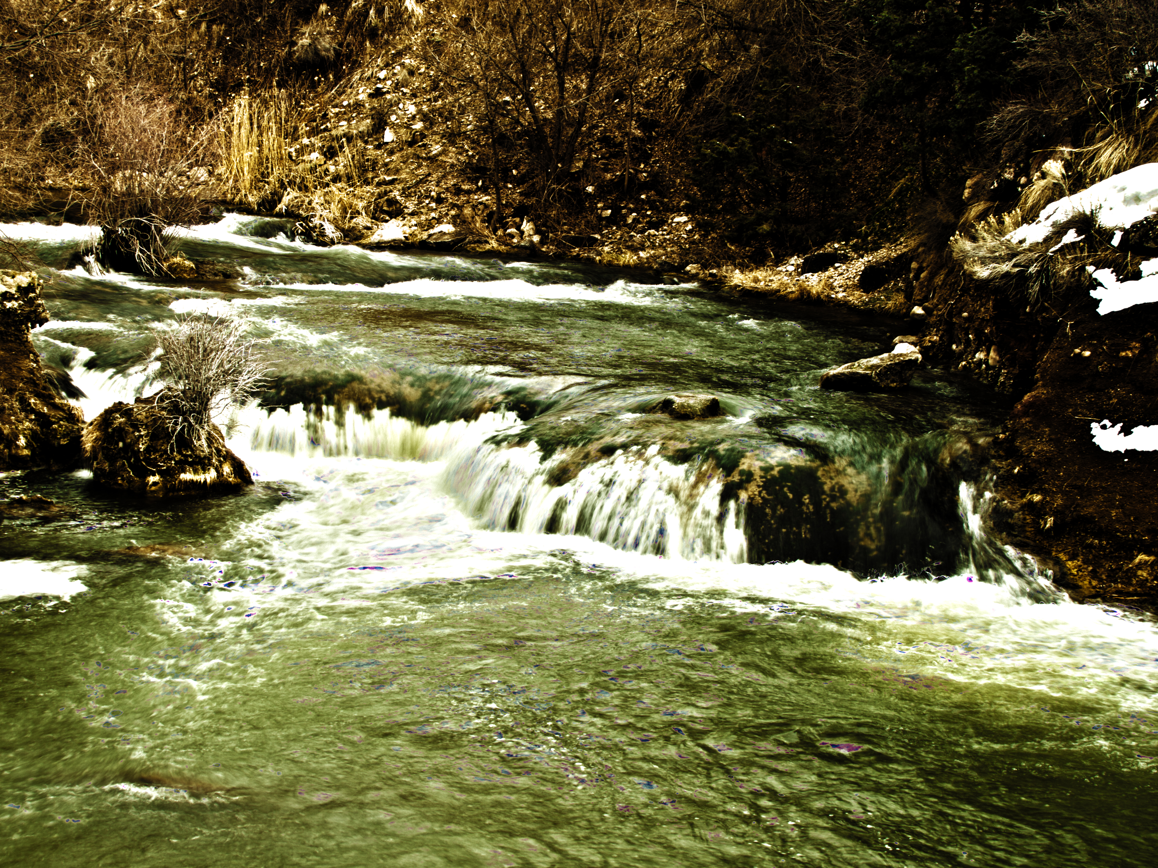
Portnuef Cascades In Lava Hot Springs HDR

Jct. I-15 on ID-40 West
2010-07-13 08.27.49
Nine Exposure Poertnuef Cascade

L on Mountain
Topographic Map of Arimo, ID, USA
Find elevation by address:

Places in Arimo, ID, USA:
Places near Arimo, ID, USA:
Bannock County
E Smith Canyon Rd, Downey, ID, USA
S Washington Ave, Downey, ID, USA
W Glover Rd, Arimo, ID, USA
1507 S Front St
9066 S Robin Rd
U.s. 91
Mccammon
Pine Drive
Huggins Circle
6727 S Aslett Rd
9065 Big Bear Rd
Downey
Deer Creek
Butch Spring
S Marsh Creek Rd, McCammon, ID, USA
11242 S Dempsey Creek Rd
Lava Hot Springs
262 S Old Hwy 91
Pebble Creek Ski Area
Recent Searches:
- Elevation of Congressional Dr, Stevensville, MD, USA
- Elevation of Bellview Rd, McLean, VA, USA
- Elevation of Stage Island Rd, Chatham, MA, USA
- Elevation of Shibuya Scramble Crossing, 21 Udagawacho, Shibuya City, Tokyo -, Japan
- Elevation of Jadagoniai, Kaunas District Municipality, Lithuania
- Elevation of Pagonija rock, Kranto 7-oji g. 8"N, Kaunas, Lithuania
- Elevation of Co Rd 87, Jamestown, CO, USA
- Elevation of Tenjo, Cundinamarca, Colombia
- Elevation of Côte-des-Neiges, Montreal, QC H4A 3J6, Canada
- Elevation of Bobcat Dr, Helena, MT, USA