Elevation of S Front St, McCammon, ID, USA
Location: United States > Idaho > Bannock County > Mccammon >
Longitude: -112.18846
Latitude: 42.640073
Elevation: 1460m / 4790feet
Barometric Pressure: 85KPa
Elevation Map:
Satellite Map:
Related Photos:
A View from the Valley
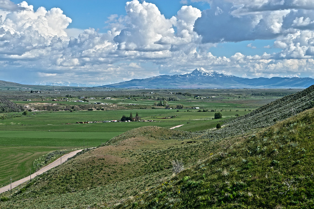
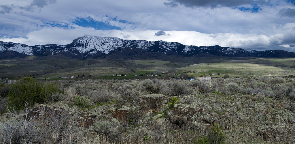
View to south down Marsh Valley to snowcapped Oxford Peak
Day 92 - McCammon

Lava Hot Springs Idaho
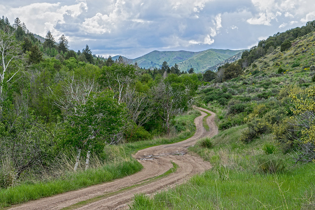
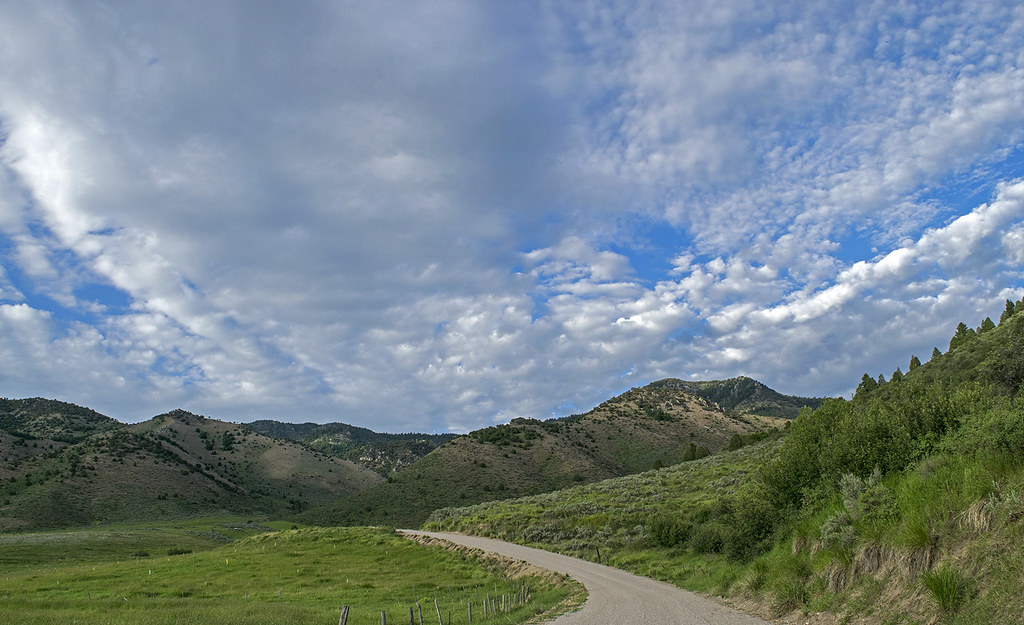
The Walker Creek Road in the Bannock mountains. SE Idaho
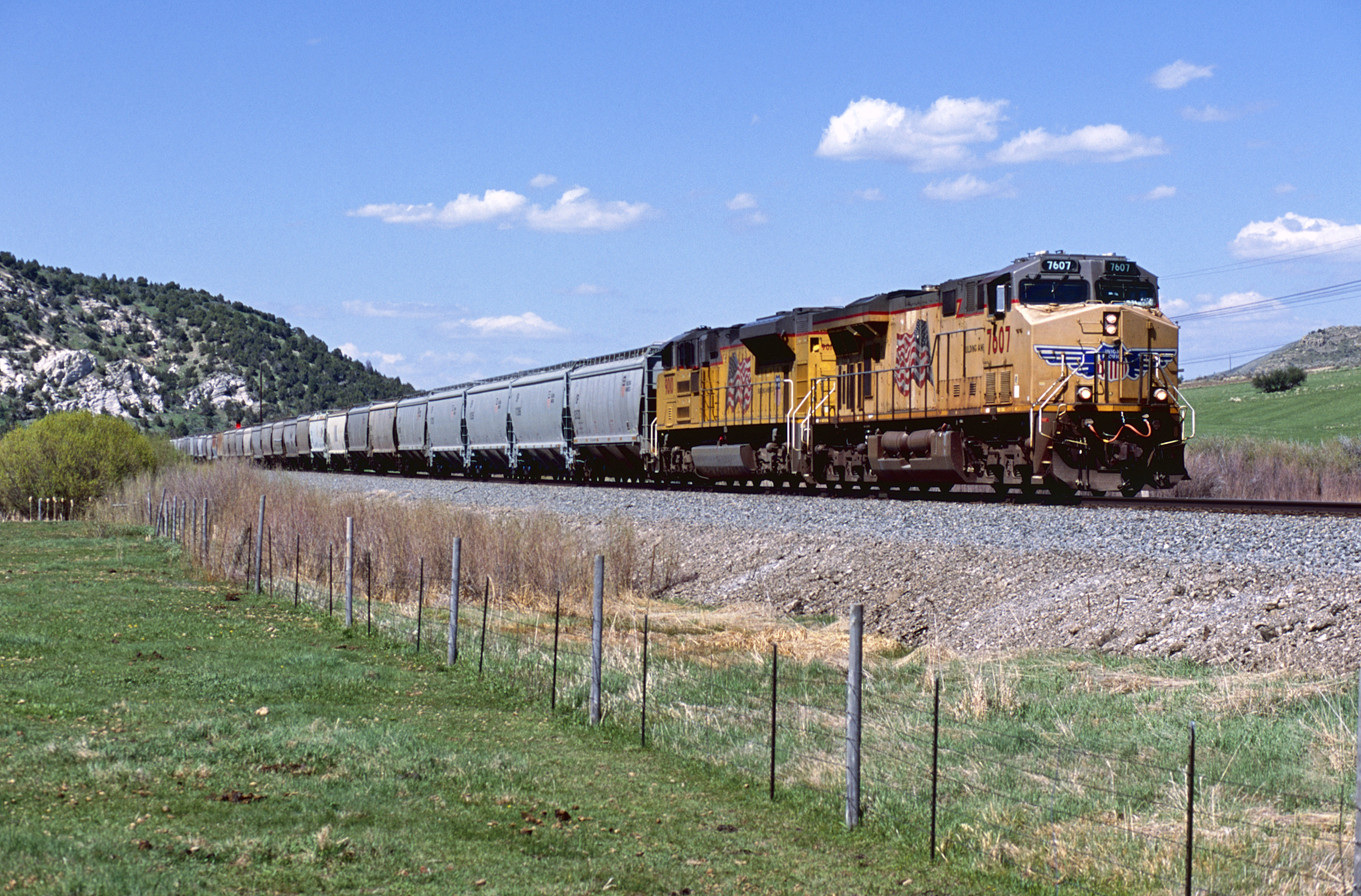
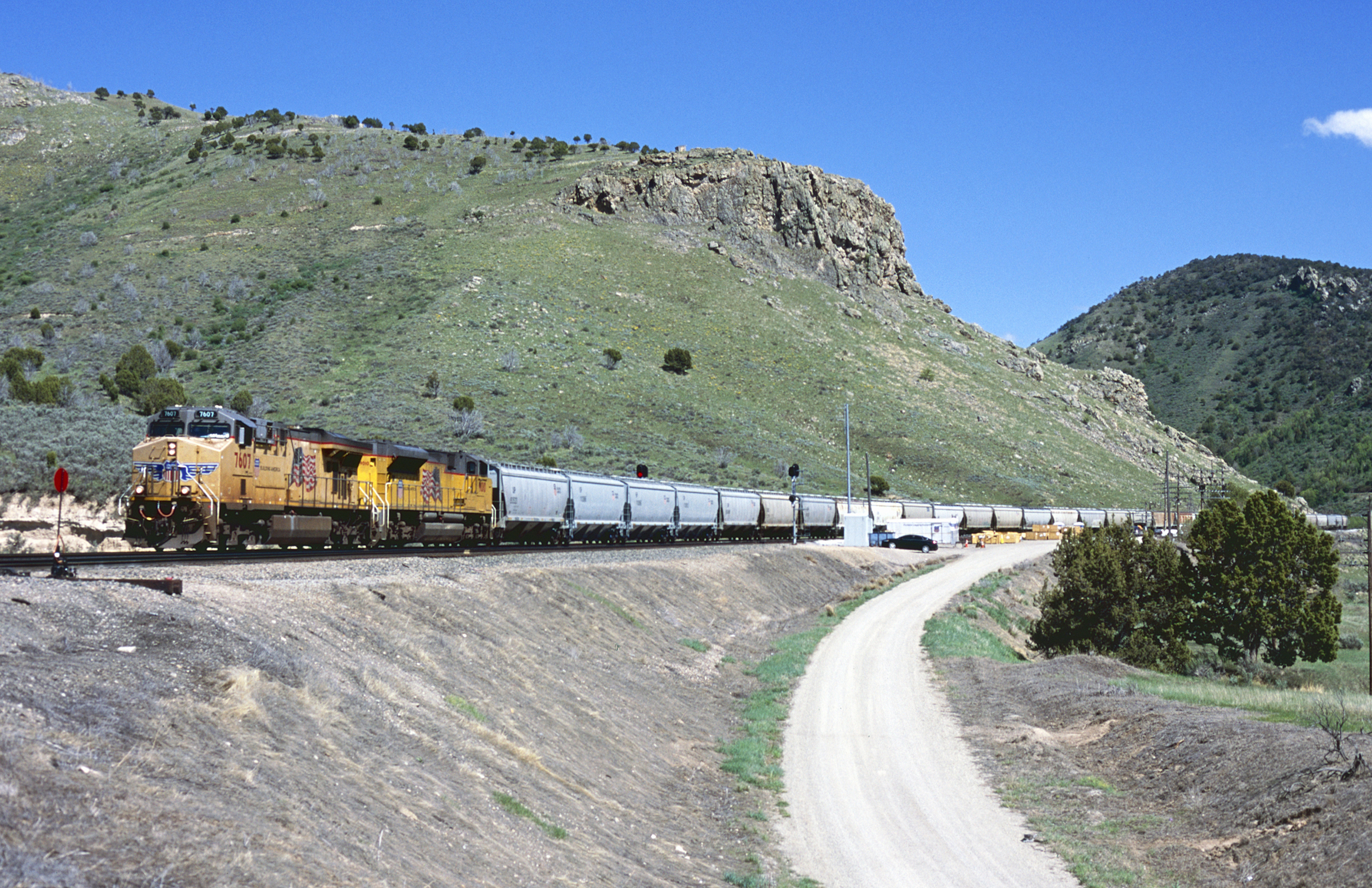
UP 7607 West
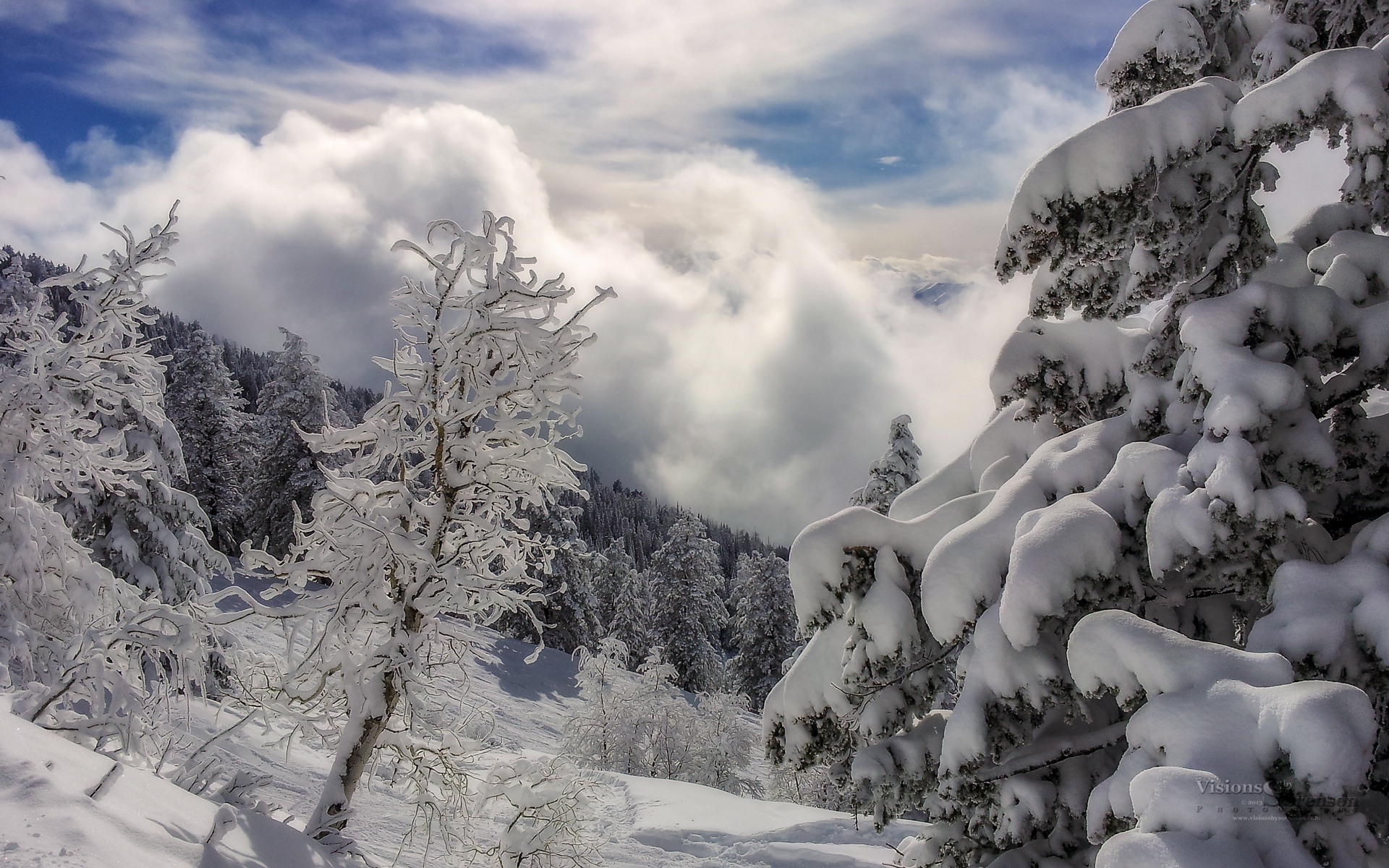
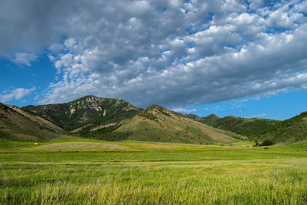
The Portneuf mountain range from "The Lavas". April 2017
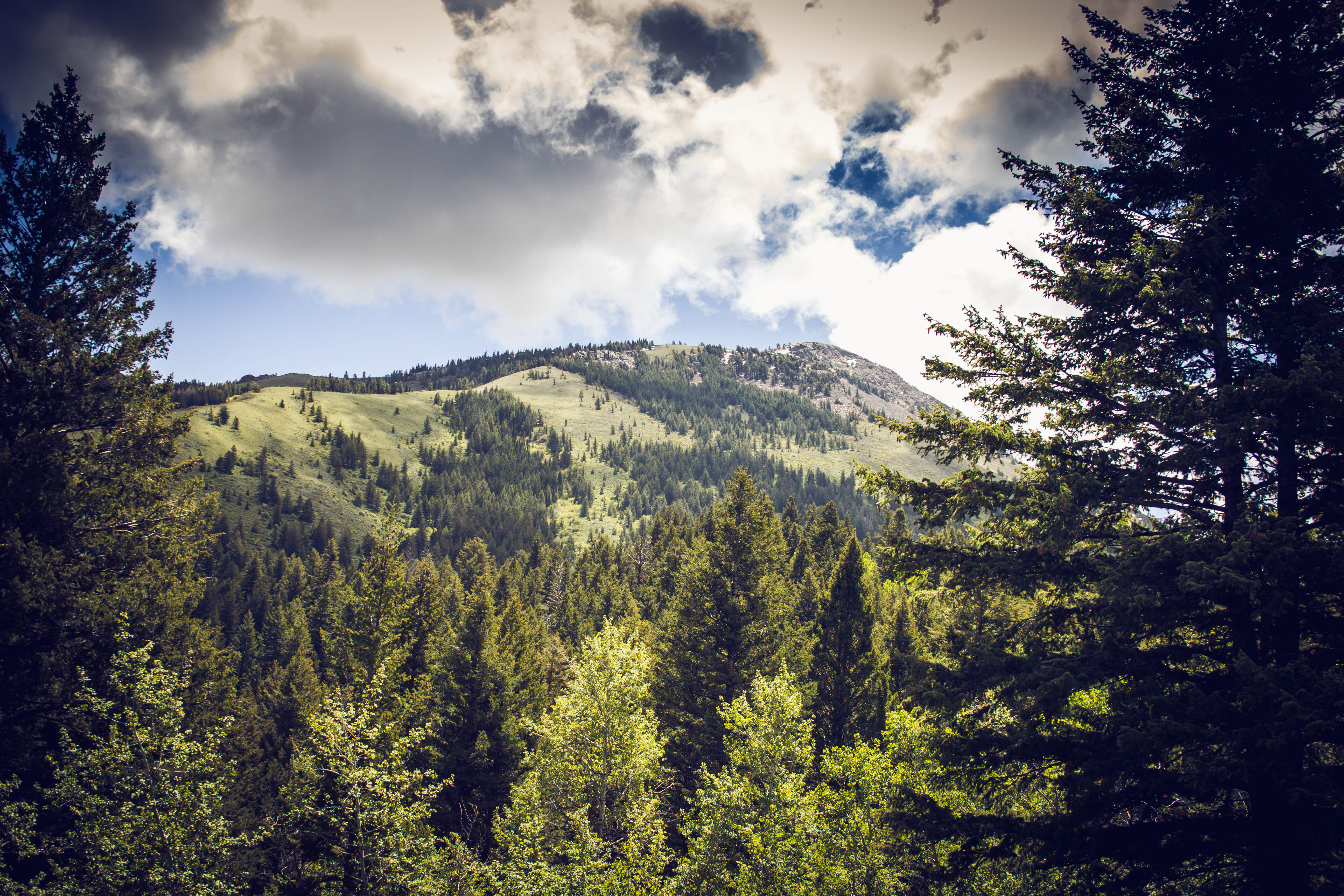
Heaven on Earth
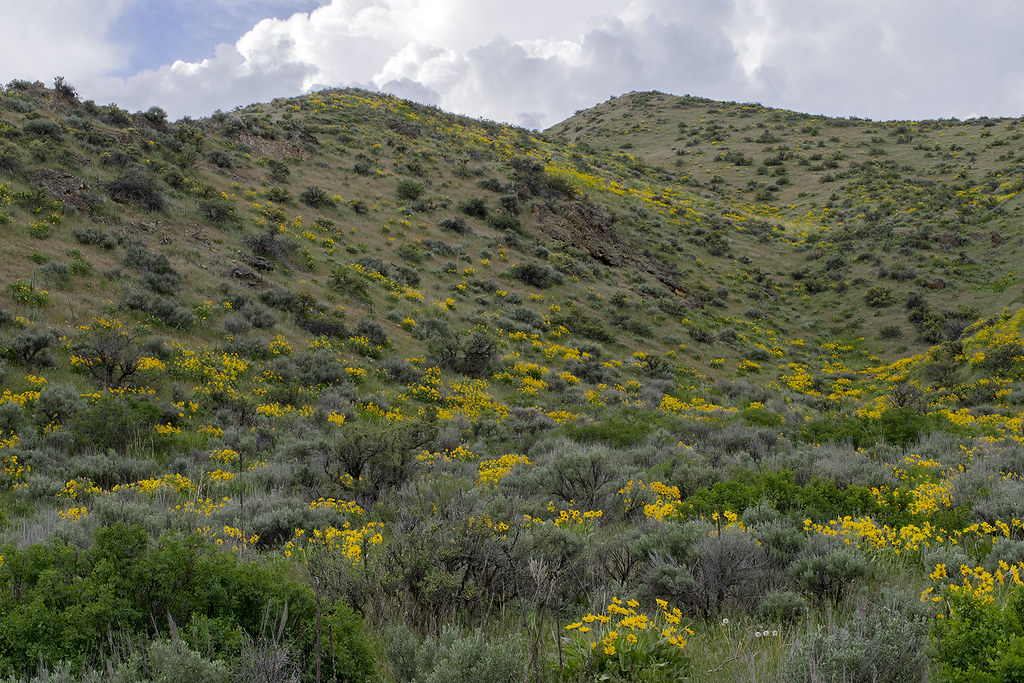
Arrowleaf balsamroot blooms on hillside in Walker Creek canyon. SE Idaho
UP 7607 West
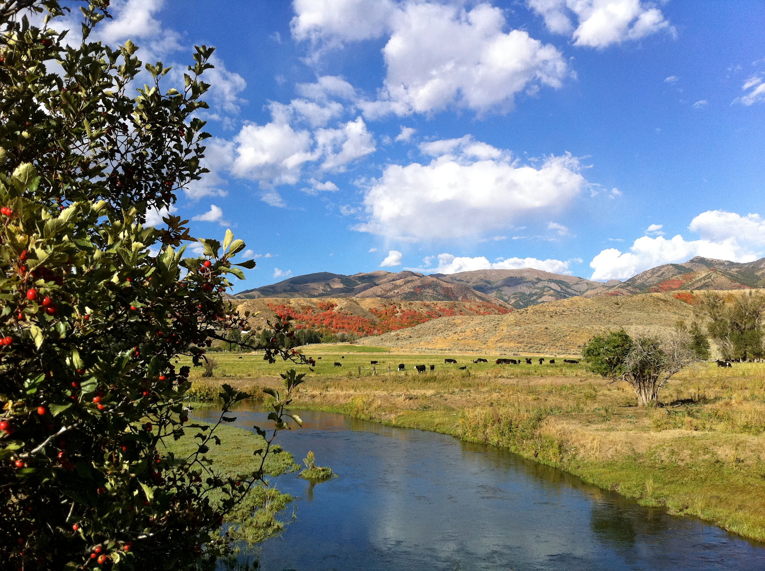
CFBullock Ranch
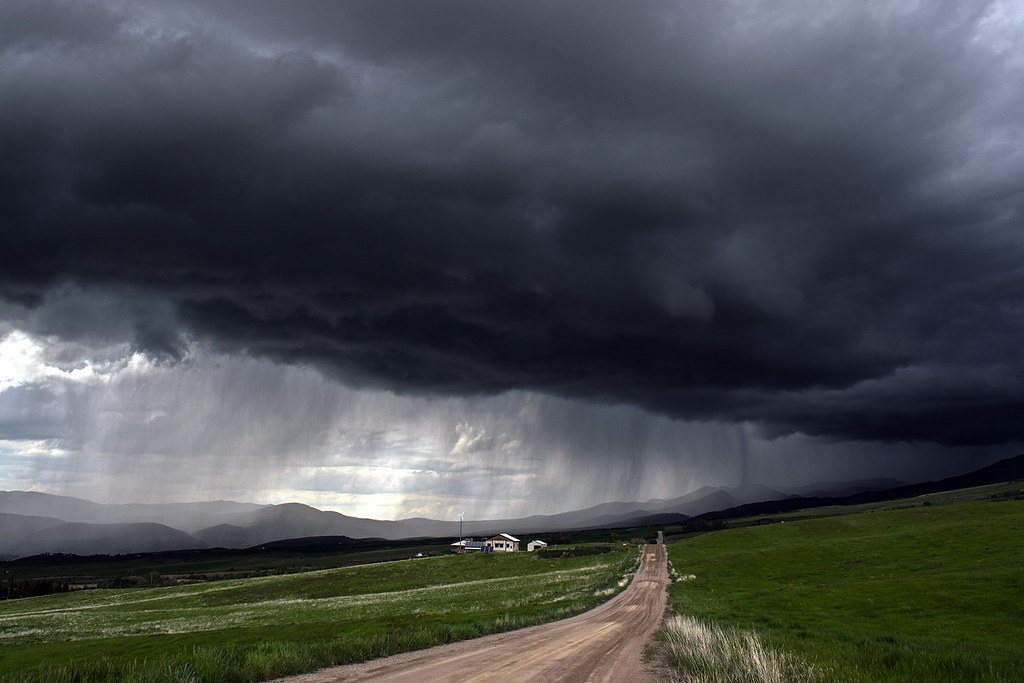
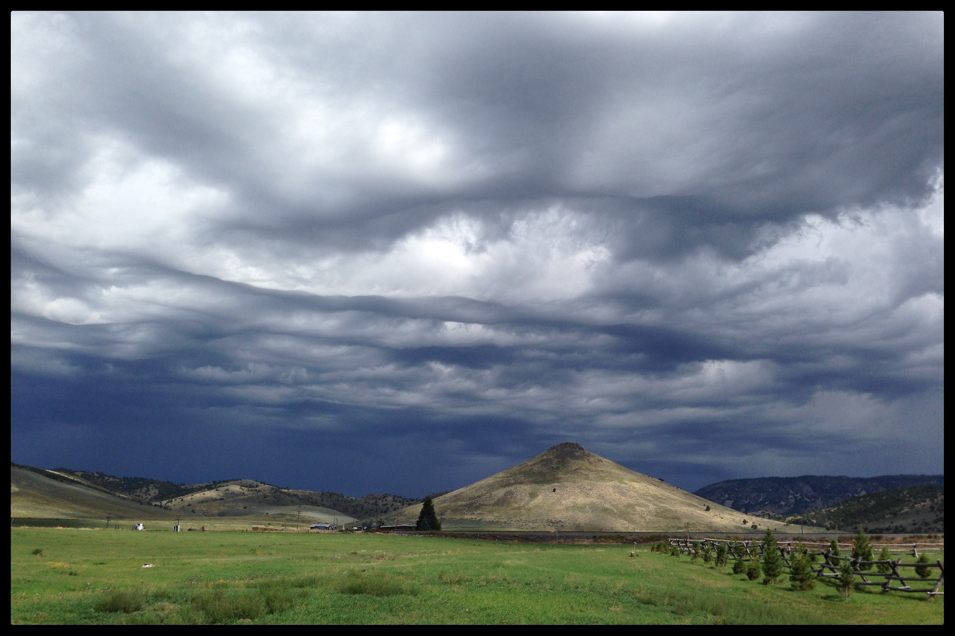
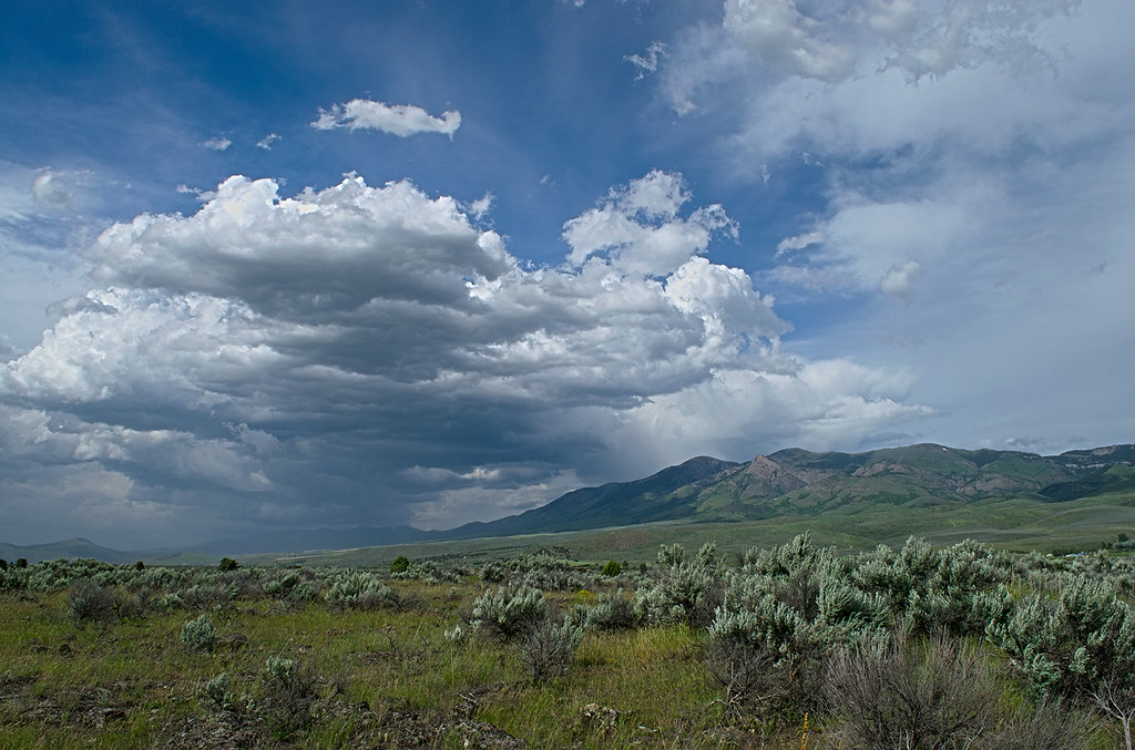
Approaching thunderstorm. Eastern Idaho
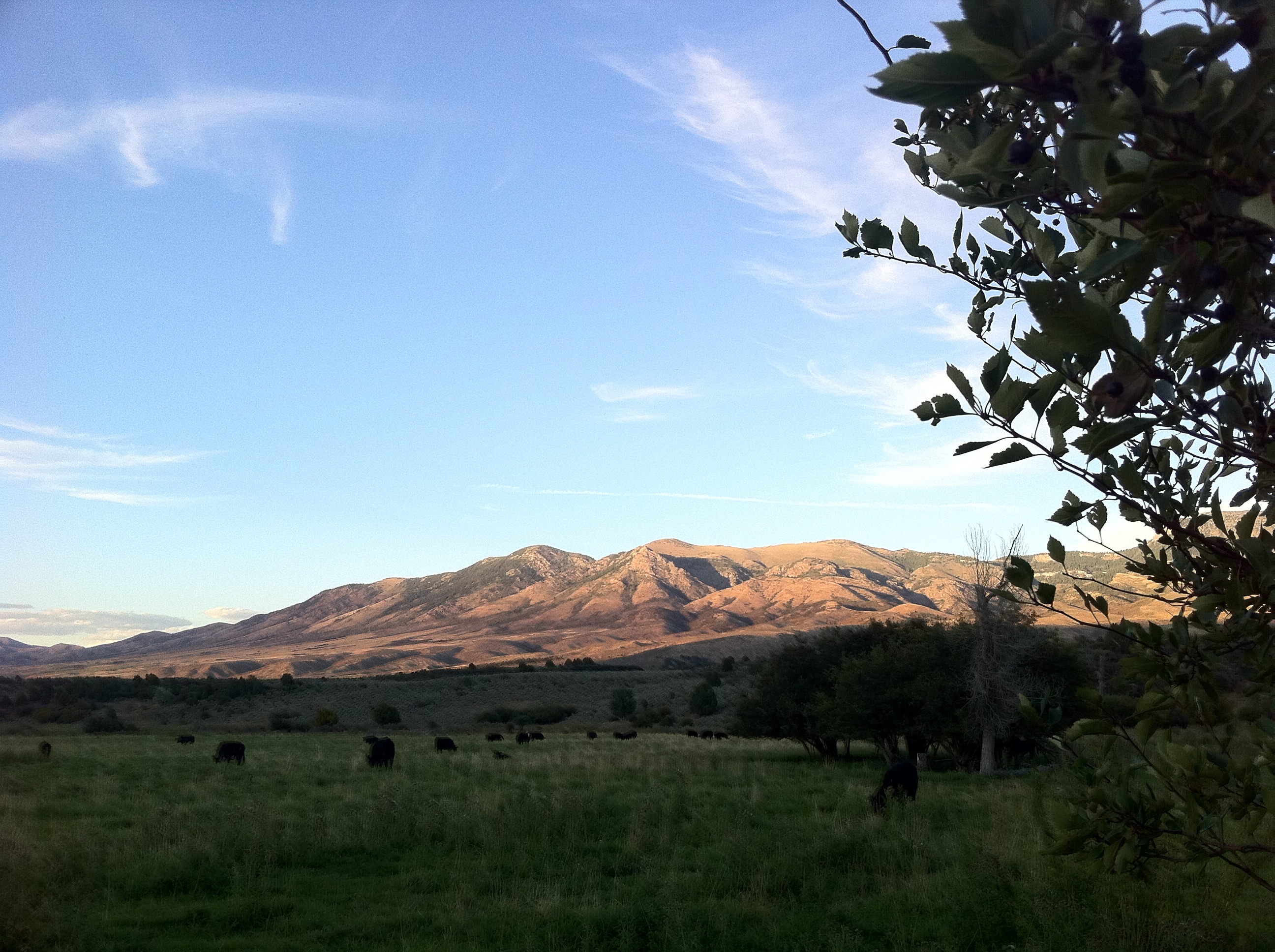
CFBullock Ranch
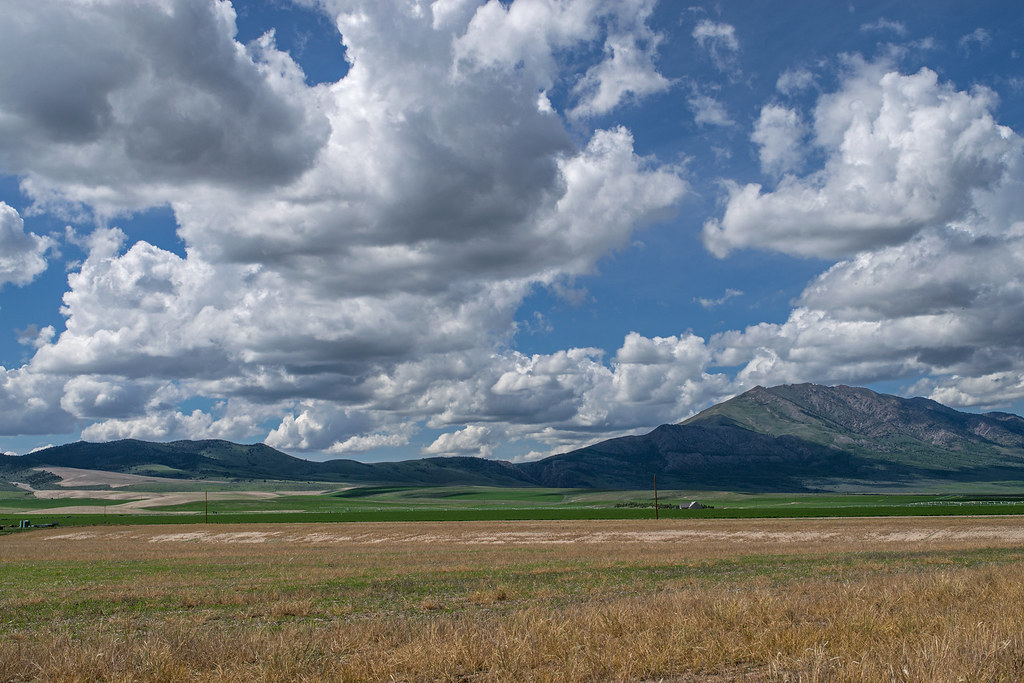
Old Tom mountain (rt.) and Bannock Range from Marsh Valley
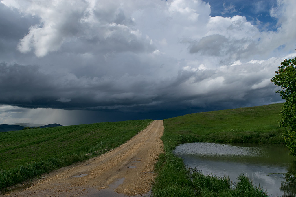
Approaching hailstorm. Late May.
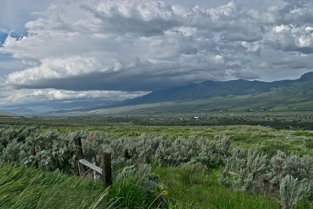
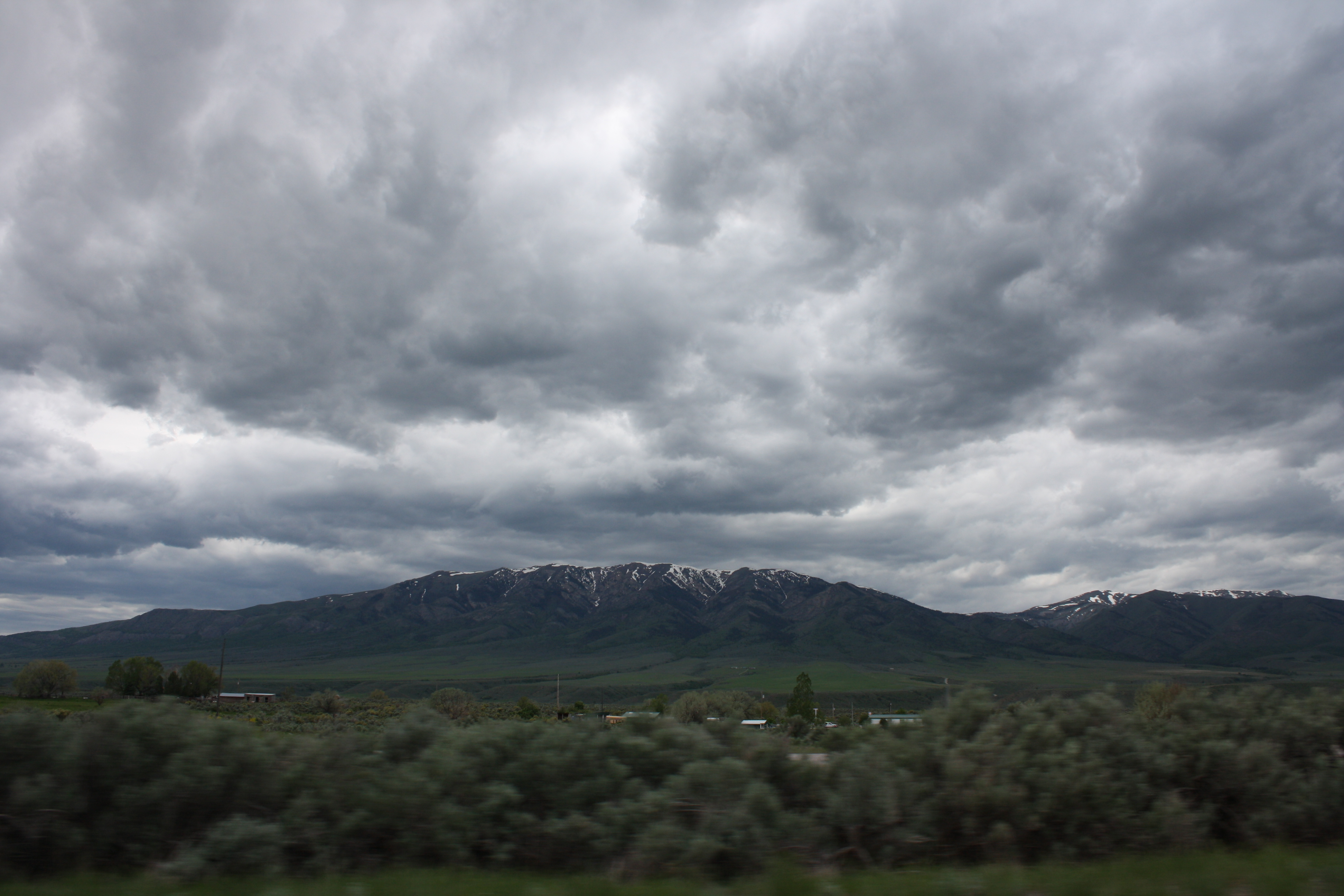
Storm clouds Marsh Valley and Portneuf Mountains
Petticoat Peak. Fish Creek mountain range
Fish Creek mountains in southeast Idaho
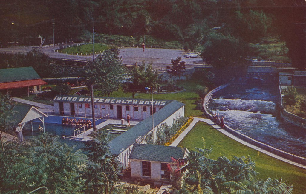
Lava Hot Springs Foundation - Lava Hot Springs, Idaho
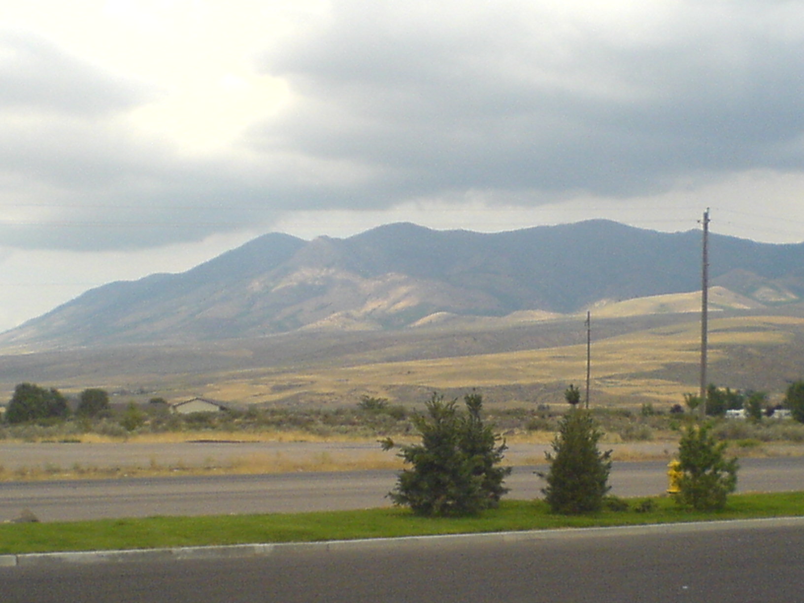
An Idaho mountain off of I-15 somewhere
Future (or past) UFO abduction setting...
Storm from "The Lavas." North Marsh Valley. Southeastern Idaho. USA

Portneuf River | Lava Hot Springs, ID
Topographic Map of S Front St, McCammon, ID, USA
Find elevation by address:

Places near S Front St, McCammon, ID, USA:
Mccammon
9066 S Robin Rd
6727 S Aslett Rd
Bannock County
S Marsh Creek Rd, McCammon, ID, USA
Arimo
W Glover Rd, Arimo, ID, USA
262 S Old Hwy 91
E Smith Canyon Rd, Downey, ID, USA
Pine Drive
Pebble Creek Ski Area
S Washington Ave, Downey, ID, USA
9065 Big Bear Rd
Huggins Circle
Deer Creek
U.s. 91
11242 S Dempsey Creek Rd
Lava Hot Springs
Butch Spring
Downey
Recent Searches:
- Elevation of Congressional Dr, Stevensville, MD, USA
- Elevation of Bellview Rd, McLean, VA, USA
- Elevation of Stage Island Rd, Chatham, MA, USA
- Elevation of Shibuya Scramble Crossing, 21 Udagawacho, Shibuya City, Tokyo -, Japan
- Elevation of Jadagoniai, Kaunas District Municipality, Lithuania
- Elevation of Pagonija rock, Kranto 7-oji g. 8"N, Kaunas, Lithuania
- Elevation of Co Rd 87, Jamestown, CO, USA
- Elevation of Tenjo, Cundinamarca, Colombia
- Elevation of Côte-des-Neiges, Montreal, QC H4A 3J6, Canada
- Elevation of Bobcat Dr, Helena, MT, USA