Elevation of S Robin Rd, McCammon, ID, USA
Location: United States > Idaho > Bannock County > Mccammon >
Longitude: -112.21571
Latitude: 42.6314088
Elevation: 1440m / 4724feet
Barometric Pressure: 85KPa
Elevation Map:
Satellite Map:
Related Photos:

Late November on The Lavas near McCammon, Idaho.

Near sunset at Marsh Valley. Southeastern Idaho

View to south down Marsh Valley to snowcapped Oxford Peak

Springtime in Marsh Valley, Idaho.

A View from the Valley

Day 92 - McCammon

Marsh Valley in Winter. Southeastern Idaho

The Goodenough Canyon trail through autumn foilage
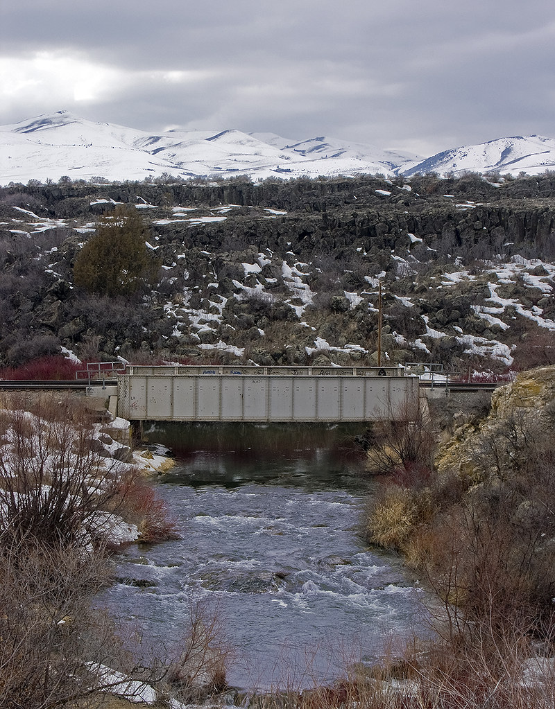
Railroad bridge over the Portneuf River. Winter

The Bannock Range mountains in winter near Garden Creek Gap

Haystack Mountain - Idaho
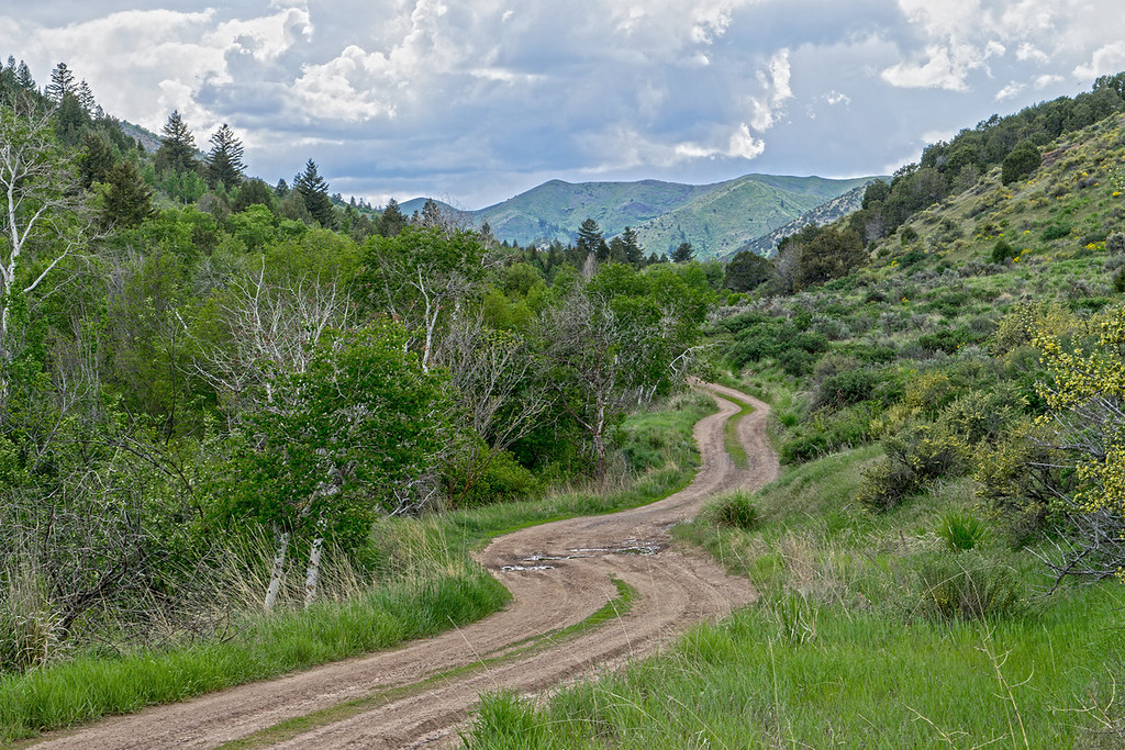
The Walker Creek Road in the Bannock mountains. SE Idaho

Dry farm. SE Idaho. October. Portneuf Range mountains

Arrowleaf balsamroot blooms on hillside in Walker Creek canyon. SE Idaho

UP 8781 | EMD SD70ACe | UP Pocatello Subdivision

Winter sunset beneath the Bannock Range mountains of southeast Idaho
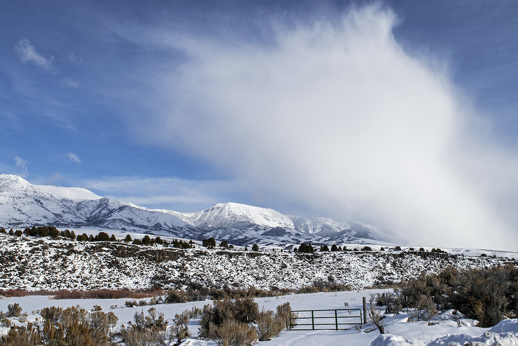
Snowshower over the Portneuf

Portneuf Range - Idaho

At the Walker Creek trailhead. Caribou-Targhee National Forest. SE Idaho

Sagebrush Lizard - Idaho

Storm from "The Lavas." North Marsh Valley. Southeastern Idaho. USA

Storm clouds Marsh Valley and Portneuf Mountains

Old Oxbow Wetland - Idaho

Approaching thunderstorm. Eastern Idaho
Topographic Map of S Robin Rd, McCammon, ID, USA
Find elevation by address:

Places near S Robin Rd, McCammon, ID, USA:
1507 S Front St
Mccammon
6727 S Aslett Rd
W Glover Rd, Arimo, ID, USA
S Marsh Creek Rd, McCammon, ID, USA
Arimo
Bannock County
262 S Old Hwy 91
E Smith Canyon Rd, Downey, ID, USA
S Washington Ave, Downey, ID, USA
Pebble Creek Ski Area
Pine Drive
U.s. 91
Huggins Circle
9065 Big Bear Rd
Butch Spring
Deer Creek
11242 S Dempsey Creek Rd
Lava Hot Springs
N Fort Hall Mine Rd, Pocatello, ID, USA
Recent Searches:
- Elevation of Congressional Dr, Stevensville, MD, USA
- Elevation of Bellview Rd, McLean, VA, USA
- Elevation of Stage Island Rd, Chatham, MA, USA
- Elevation of Shibuya Scramble Crossing, 21 Udagawacho, Shibuya City, Tokyo -, Japan
- Elevation of Jadagoniai, Kaunas District Municipality, Lithuania
- Elevation of Pagonija rock, Kranto 7-oji g. 8"N, Kaunas, Lithuania
- Elevation of Co Rd 87, Jamestown, CO, USA
- Elevation of Tenjo, Cundinamarca, Colombia
- Elevation of Côte-des-Neiges, Montreal, QC H4A 3J6, Canada
- Elevation of Bobcat Dr, Helena, MT, USA