Elevation of Mountain Meadows Lane, Mountain Meadows Ln, 4, Beech Glenn, NC, USA
Location: United States > North Carolina > Madison County > 3, Mars Hill > Mars Hill >
Longitude: -82.458308
Latitude: 35.8661554
Elevation: 742m / 2434feet
Barometric Pressure: 93KPa
Elevation Map:
Satellite Map:
Related Photos:

Western North Carolina Mountain View

Solo Creek
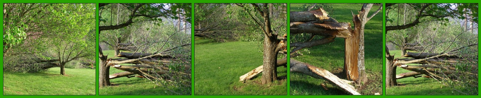
After the Storm

Mars Theatre
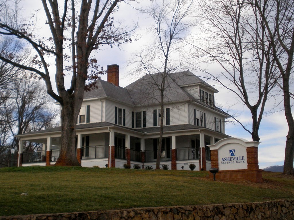
The Bank

Carson Cabin, Big Ivy Historical Park

Blue Ridge Sunrise

East of Dillingham

Over the Blacks Range

Nearly Engulfed

Red Barn with Tree

Mount Mitchell

blue ridge valley

THE MUMMY 3

View from Little Butt

Dark and Misty

A "Laurel Hell" (Rhododendron maxima)

Bald Mountain
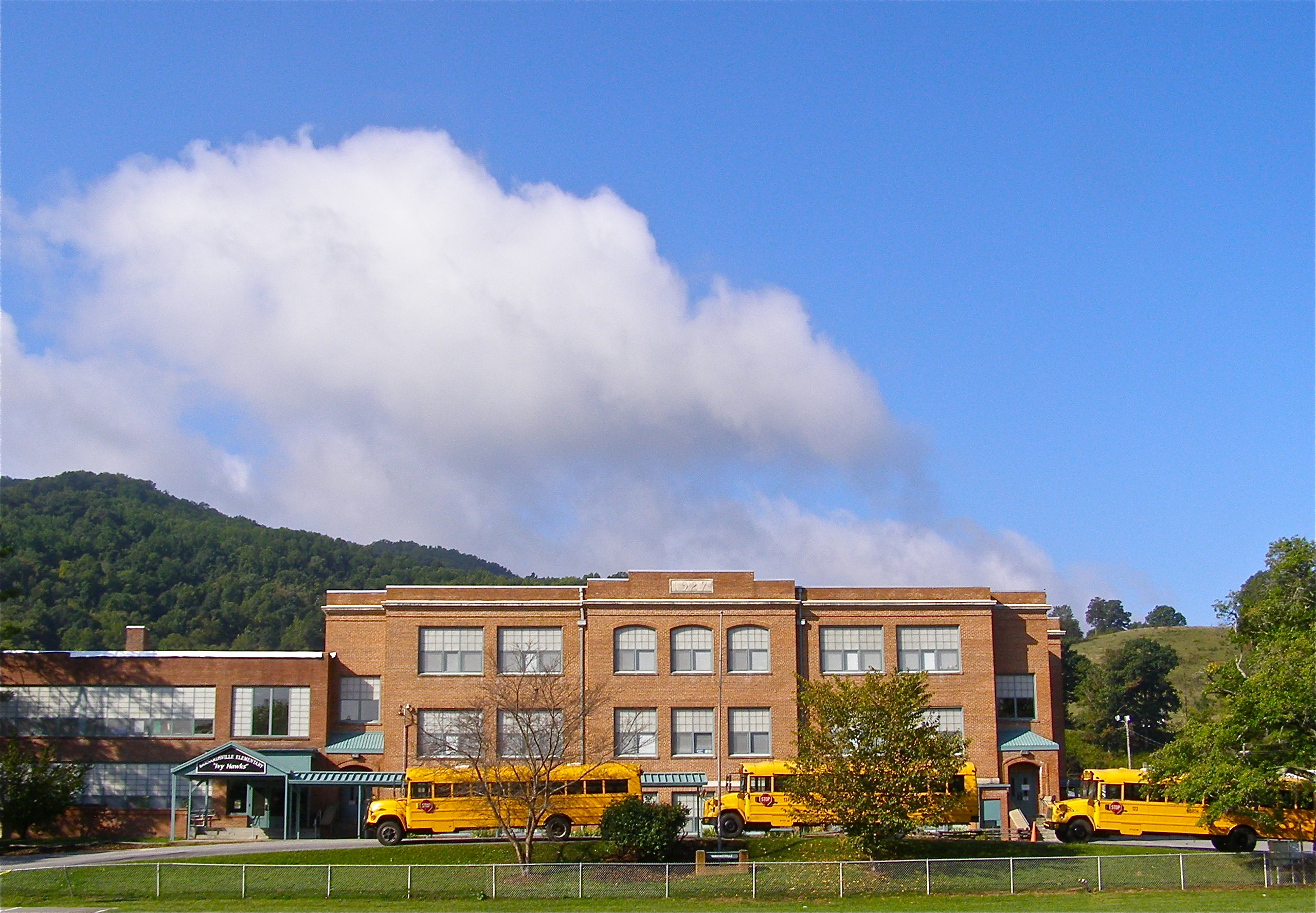
Mountain School

Sunrise: Black Mountains, NC

Carter-Swain House

Rime Ice
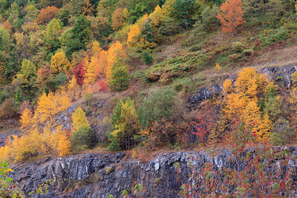
Tennesee Colors

Grey Winter Creek
All's Well

Wide Water

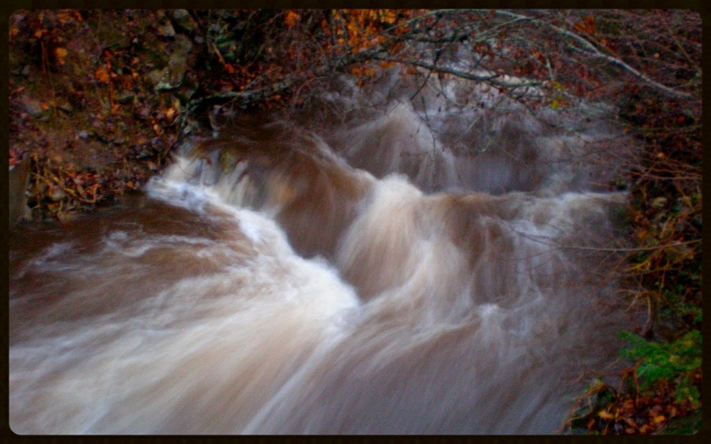
High Water on Walker Creek

Cold Water
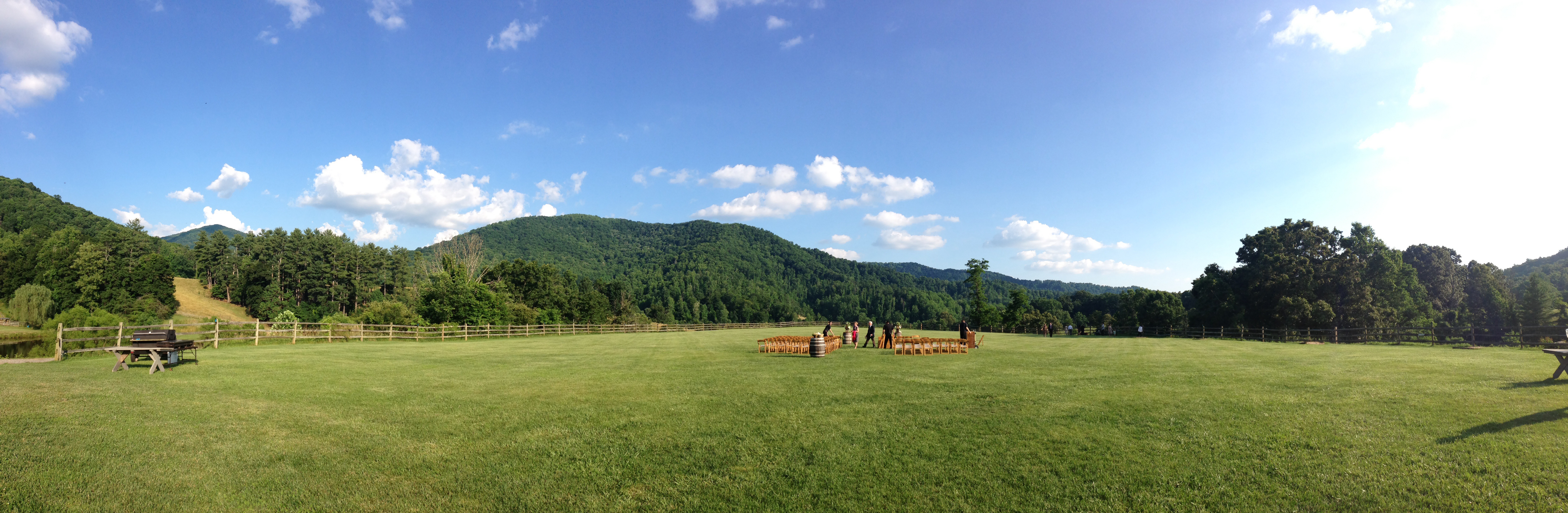
Apparently weddings in Asheville are pretty

My Misty Mountains
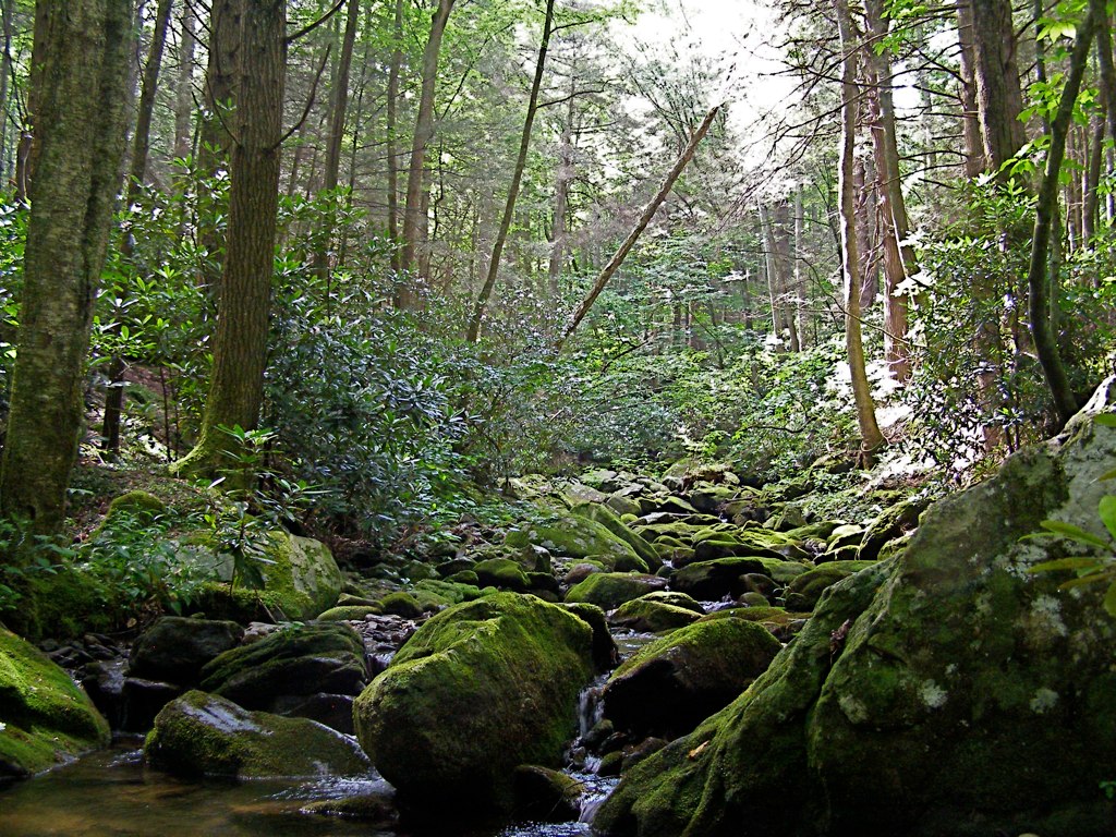
Staire Creek, Summer

Corner Rock

The Cure

Flow like water.jpg
Topographic Map of Mountain Meadows Lane, Mountain Meadows Ln, 4, Beech Glenn, NC, USA
Find elevation by address:

Places near Mountain Meadows Lane, Mountain Meadows Ln, 4, Beech Glenn, NC, USA:
11 Sandys Home Pl
Paint Fork Rd, Mars Hill, NC, USA
3364 Crooked Creek Rd
Ponder Creek Road
30 State Rd, Mars Hill, NC, USA
1041 Ponder Creek Rd
1419 Ponder Creek Rd
955 Red Wolf Run
508 Shake Rag Rd
396 Hidden Creek Ln
287 Crow Ln
Hortons Creek Road
Hortons Creek Road
17 Mcpeters Ln
Ivy Gap
11270 Us-19
11270 Us-19
1499 Hortons Creek Rd
Evergreen Road
Evergreen Road
Recent Searches:
- Elevation of Royal Ontario Museum, Queens Park, Toronto, ON M5S 2C6, Canada
- Elevation of Groblershoop, South Africa
- Elevation of Power Generation Enterprises | Industrial Diesel Generators, Oak Ave, Canyon Country, CA, USA
- Elevation of Chesaw Rd, Oroville, WA, USA
- Elevation of N, Mt Pleasant, UT, USA
- Elevation of 6 Rue Jules Ferry, Beausoleil, France
- Elevation of Sattva Horizon, 4JC6+G9P, Vinayak Nagar, Kattigenahalli, Bengaluru, Karnataka, India
- Elevation of Great Brook Sports, Gold Star Hwy, Groton, CT, USA
- Elevation of 10 Mountain Laurels Dr, Nashua, NH, USA
- Elevation of 16 Gilboa Ln, Nashua, NH, USA