Elevation of Evergreen Road, Evergreen Rd, Cane River, NC, USA
Location: United States > North Carolina > Yancey County > Cane River >
Longitude: -82.441544
Latitude: 35.9102651
Elevation: 826m / 2710feet
Barometric Pressure: 92KPa
Elevation Map:
Satellite Map:
Related Photos:

Blue Ridge Sunrise

Sunrise: Black Mountains, NC

Nearly Engulfed

Mount Mitchell

THE MUMMY 3

Big Bald

High Rock

Big Stamp

Big Bald

Appalachian Trail

Big Bald

Big Bald

High Rock

The View From The Top: Mountains

Western North Carolina Mountain View

Red Barn with Tree

Bald Mountain
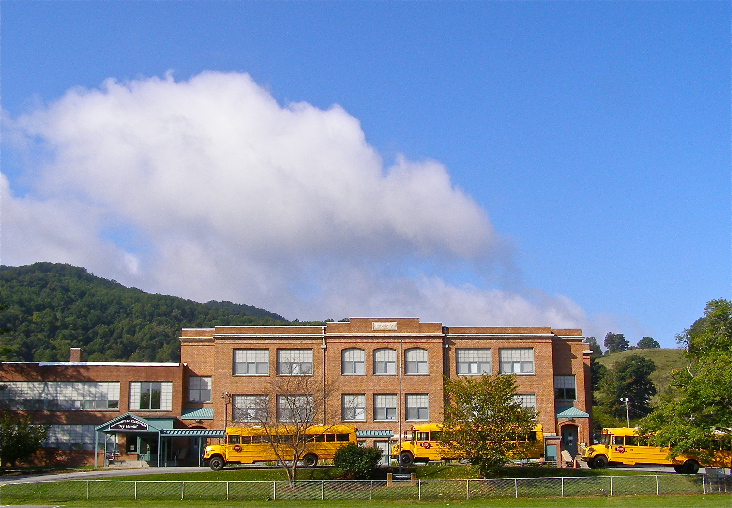
Mountain School

Carter-Swain House

Carter-Swain House

Mars Theatre

Grey Winter Creek

Flow like water.jpg

Blue Ridge Sunset (2014 07 03 -3796)

Sunrise over the Appalachians
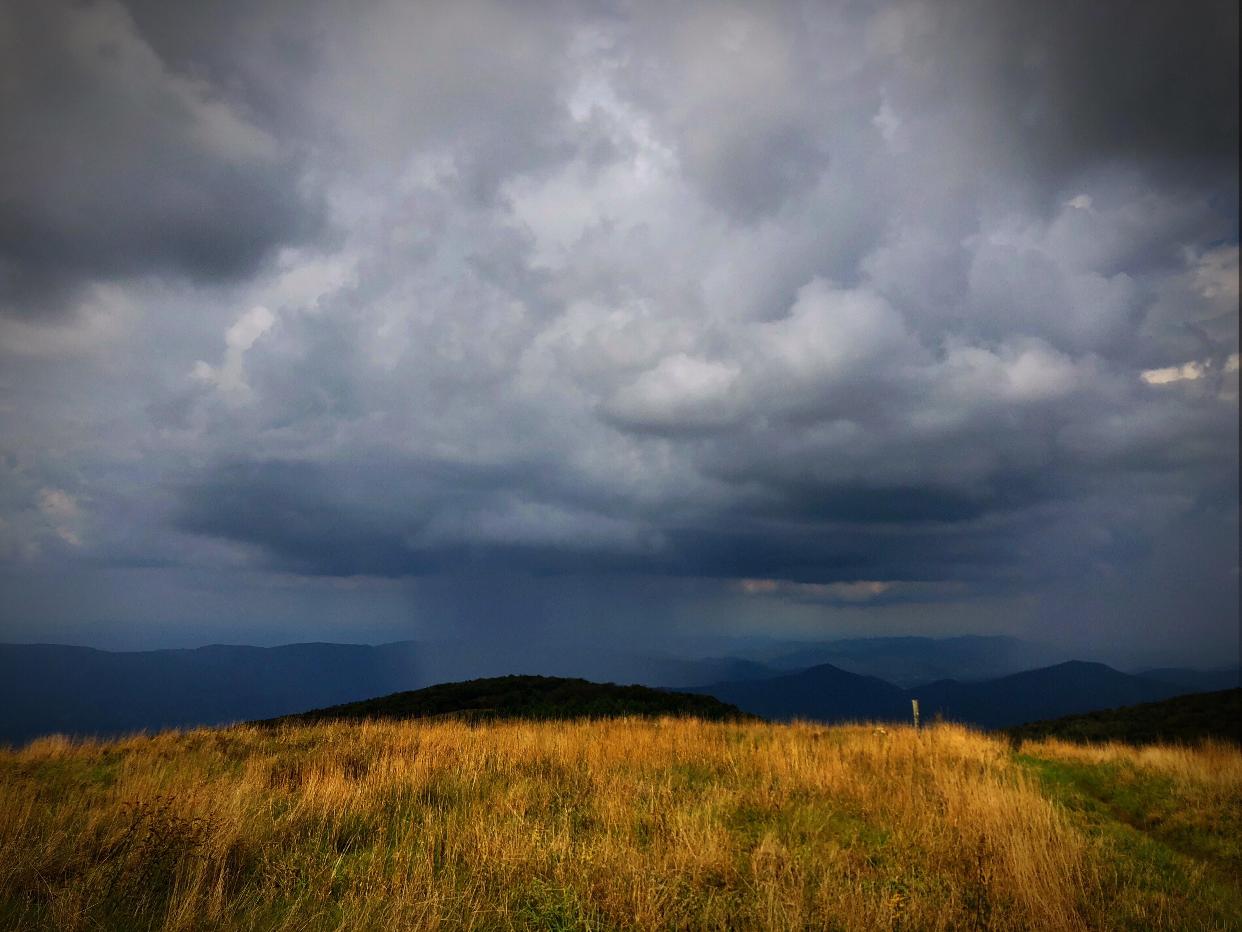
Raining in the Appalachian Mountains. Big Bald on the Appalachian Trail.

Barnardsville, NC, 1959

Appalachian Trail

Whistling Gap

I-26 West view

Bald Mountain
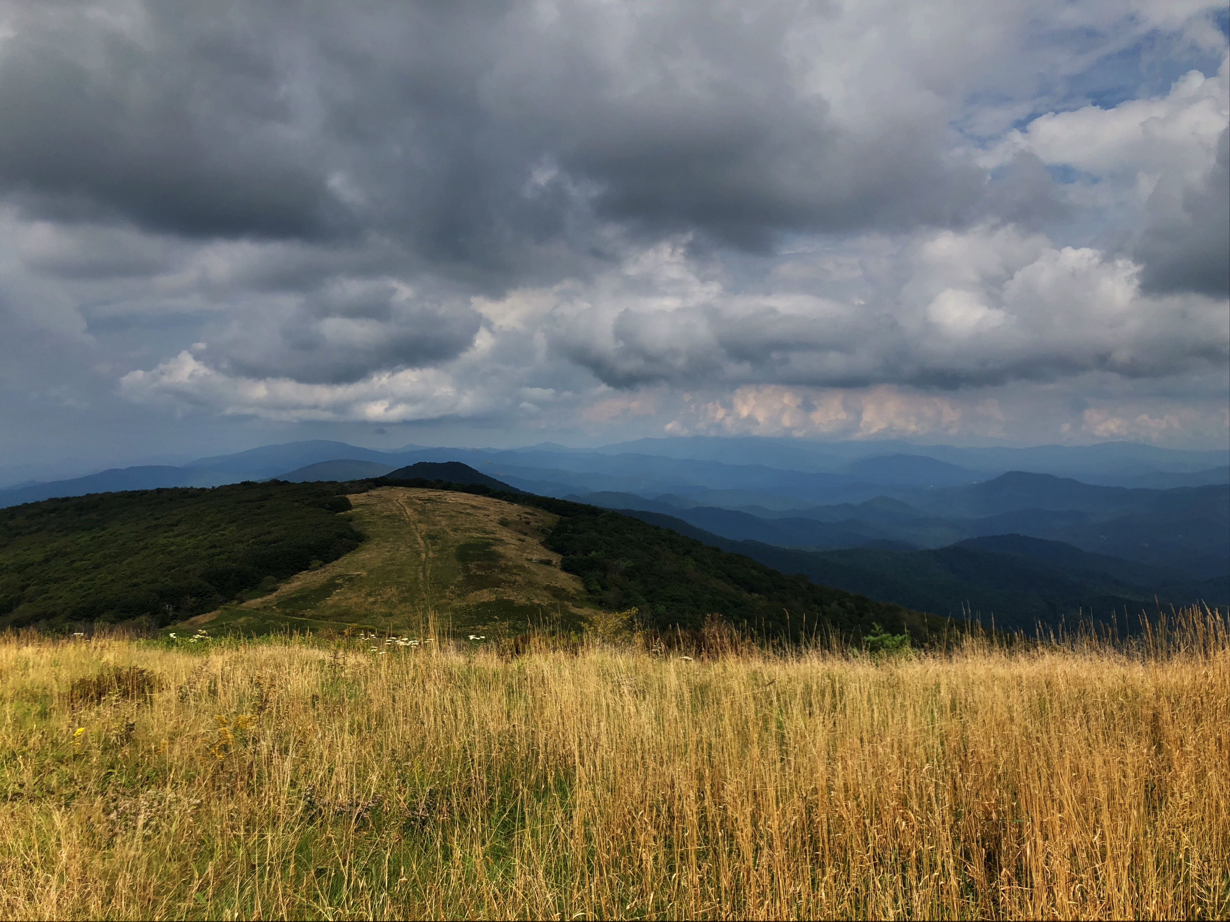
Big Bald

Bald Mountain

Mountain Layers

View from Antioch Church

Wolf Laurel Ski Resort

Appalachian Trail
Topographic Map of Evergreen Road, Evergreen Rd, Cane River, NC, USA
Find elevation by address:

Places near Evergreen Road, Evergreen Rd, Cane River, NC, USA:
Evergreen Road
230 Deacon Rd
8 Us-19
270 Jr Pate Rd
Swiss
701 Deacon Rd
396 Hidden Creek Ln
Pleasant Valley Rd, Burnsville, NC, USA
1419 Ponder Creek Rd
Lickskillet Road
Cane River
Scronce Creek Road
Windcrest Drive
11270 Us-19
11270 Us-19
1041 Ponder Creek Rd
Ponder Creek Road
118 Victory Ln
566 Hardscrabble Rd
Hardscrabble Road
Recent Searches:
- Elevation of Royal Ontario Museum, Queens Park, Toronto, ON M5S 2C6, Canada
- Elevation of Groblershoop, South Africa
- Elevation of Power Generation Enterprises | Industrial Diesel Generators, Oak Ave, Canyon Country, CA, USA
- Elevation of Chesaw Rd, Oroville, WA, USA
- Elevation of N, Mt Pleasant, UT, USA
- Elevation of 6 Rue Jules Ferry, Beausoleil, France
- Elevation of Sattva Horizon, 4JC6+G9P, Vinayak Nagar, Kattigenahalli, Bengaluru, Karnataka, India
- Elevation of Great Brook Sports, Gold Star Hwy, Groton, CT, USA
- Elevation of 10 Mountain Laurels Dr, Nashua, NH, USA
- Elevation of 16 Gilboa Ln, Nashua, NH, USA