Elevation of Ponder Creek Rd, Mars Hill, NC, USA
Location: United States > North Carolina > Madison County > 3, Mars Hill > Mars Hill >
Longitude: -82.458451
Latitude: 35.893321
Elevation: -10000m / -32808feet
Barometric Pressure: 295KPa
Elevation Map:
Satellite Map:
Related Photos:

Blue Ridge Sunrise

East of Dillingham

Nearly Engulfed
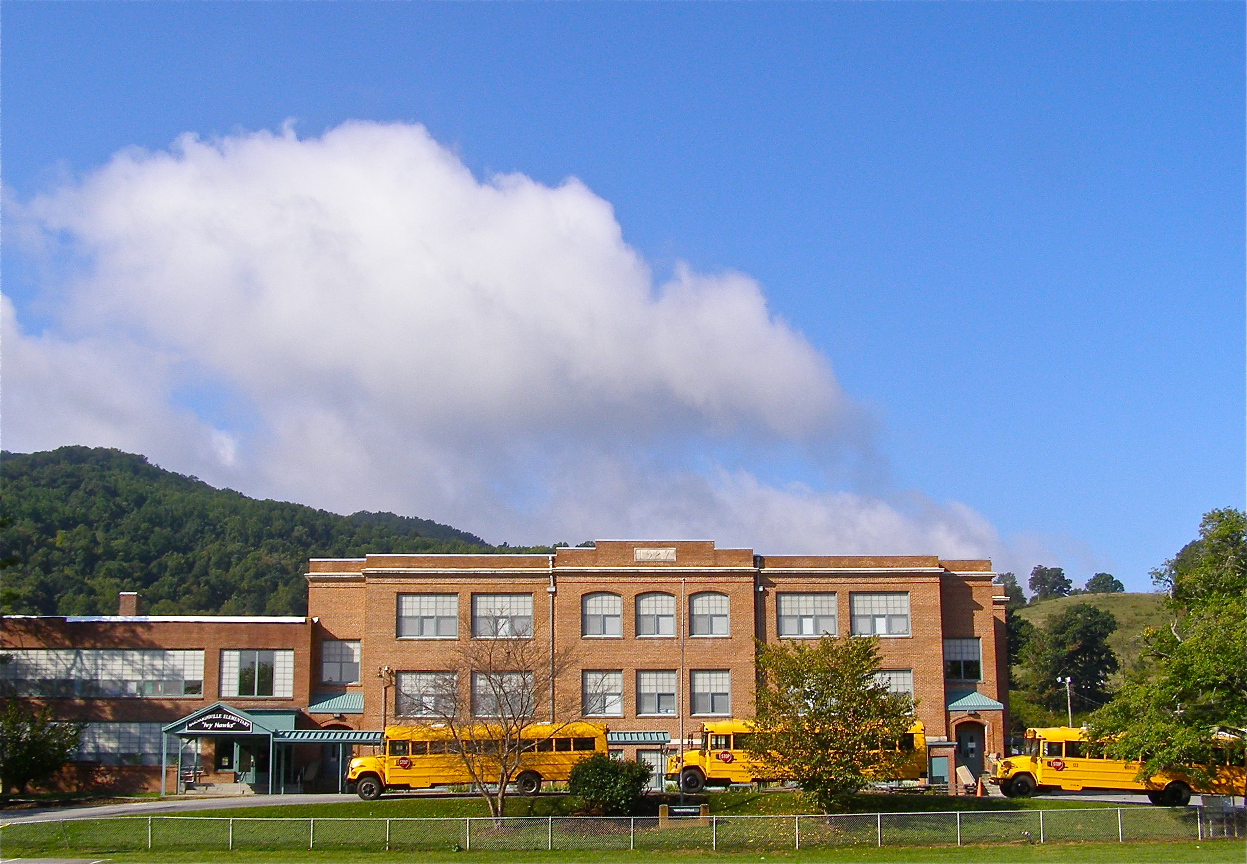
Mountain School

Sunrise: Black Mountains, NC

Carter-Swain House

Carter-Swain House

Little Snowball Fire Tower, 1934

Window View

Carson Cabin, Big Ivy Historical Park

View from Antioch Church

110716-430 Mars Hill

Looking East, Toward Barnardsville and the Blue Ridge Mountains

Bug's Eye View

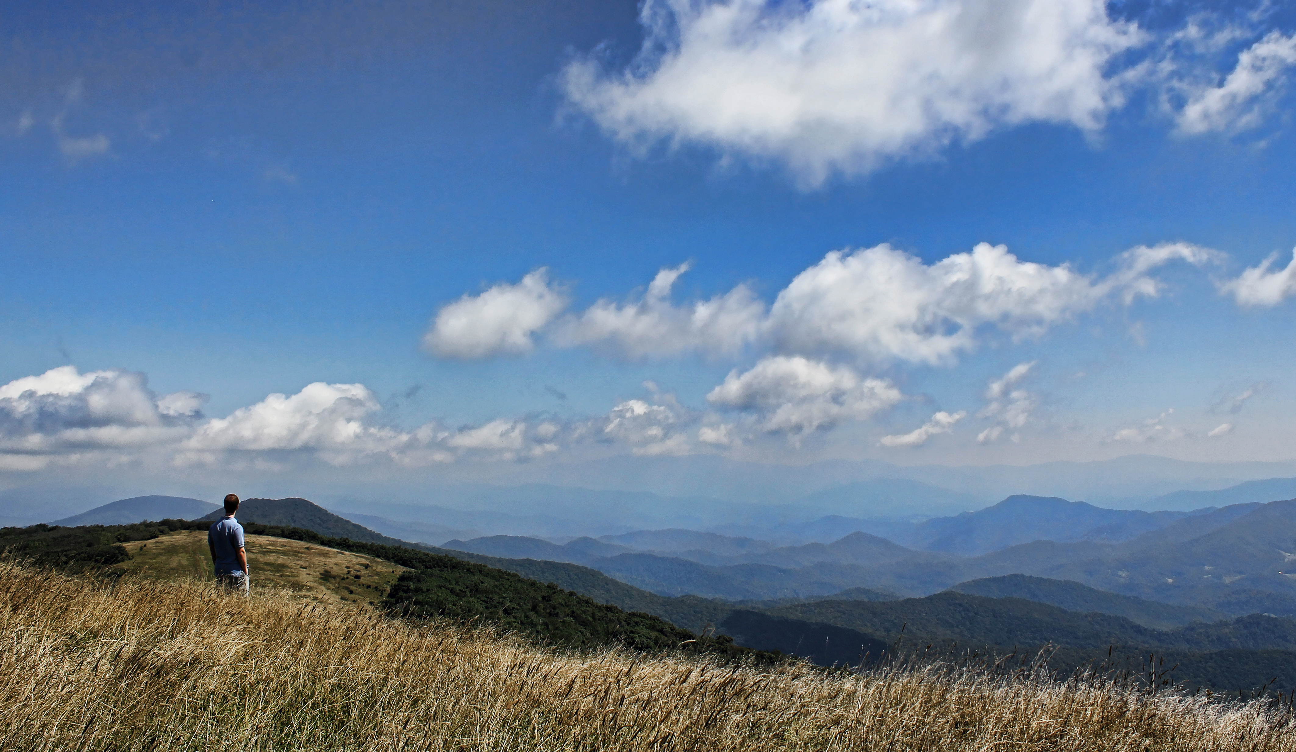
Western North Carolina Mountain View

Over the Blacks Range

Red Barn with Tree

Mount Mitchell

THE MUMMY 3

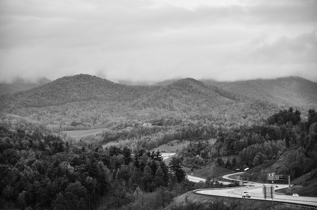
Dark and Misty

Bald Mountain

Rime Ice

Grey Winter Creek
Mountains in North Carolina

Haw Branch Barns

Blue Ridge Sunset (2014 07 03 -3796)

Sunrise over the Appalachians
The Lookout

Rock Silo, Barnardsville

Morning at the Cabin
on the road outside Asheville, NC

Water, Soil, Seed, Work = Vegetables!

Country School

Barnardsville, NC, 1959

Appalachian Trail

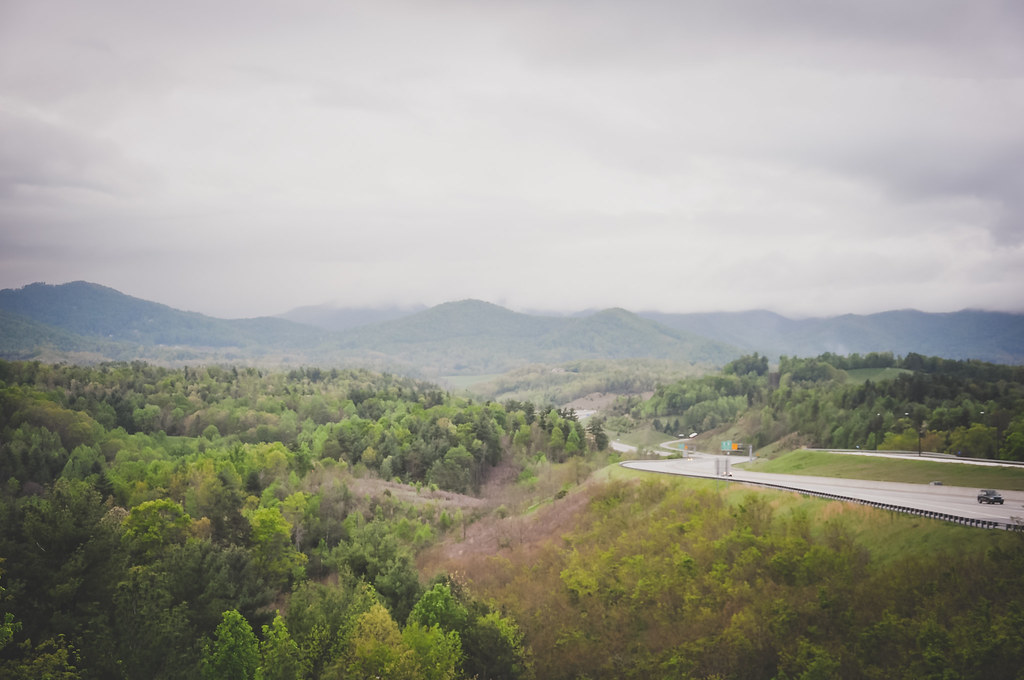
I-26 West view

On the Hill
Topographic Map of Ponder Creek Rd, Mars Hill, NC, USA
Find elevation by address:

Places near Ponder Creek Rd, Mars Hill, NC, USA:
1041 Ponder Creek Rd
Ponder Creek Road
396 Hidden Creek Ln
3364 Crooked Creek Rd
11270 Us-19
11270 Us-19
Ivy Gap
Swiss
Evergreen Road
Evergreen Road
11 Sandys Home Pl
456 Windy Gap Rd
Mountain Meadows Lane
10 State Rd 1399
230 Deacon Rd
8 Us-19
Windy Gap Road
282 Fox Creek Road
701 Deacon Rd
270 Jr Pate Rd
Recent Searches:
- Elevation of Hercules Dr, Colorado Springs, CO, USA
- Elevation of Szlak pieszy czarny, Poland
- Elevation of Griffing Blvd, Biscayne Park, FL, USA
- Elevation of Kreuzburger Weg 13, Düsseldorf, Germany
- Elevation of Gateway Blvd SE, Canton, OH, USA
- Elevation of East W.T. Harris Boulevard, E W.T. Harris Blvd, Charlotte, NC, USA
- Elevation of West Sugar Creek, Charlotte, NC, USA
- Elevation of Wayland, NY, USA
- Elevation of Steadfast Ct, Daphne, AL, USA
- Elevation of Lagasgasan, X+CQH, Tiaong, Quezon, Philippines