Elevation of Hortons Creek Rd, Burnsville, NC, USA
Location: United States > North Carolina > Yancey County > Price Creek >
Longitude: -82.414148
Latitude: 35.8802778
Elevation: 819m / 2687feet
Barometric Pressure: 92KPa
Elevation Map:
Satellite Map:
Related Photos:
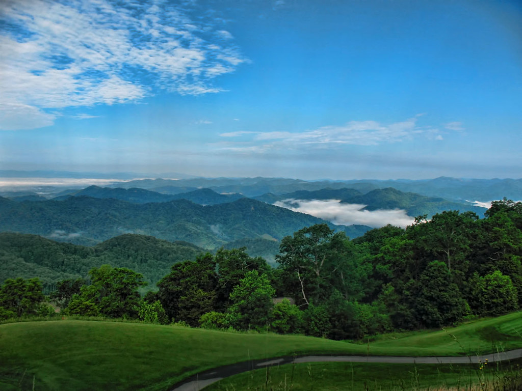
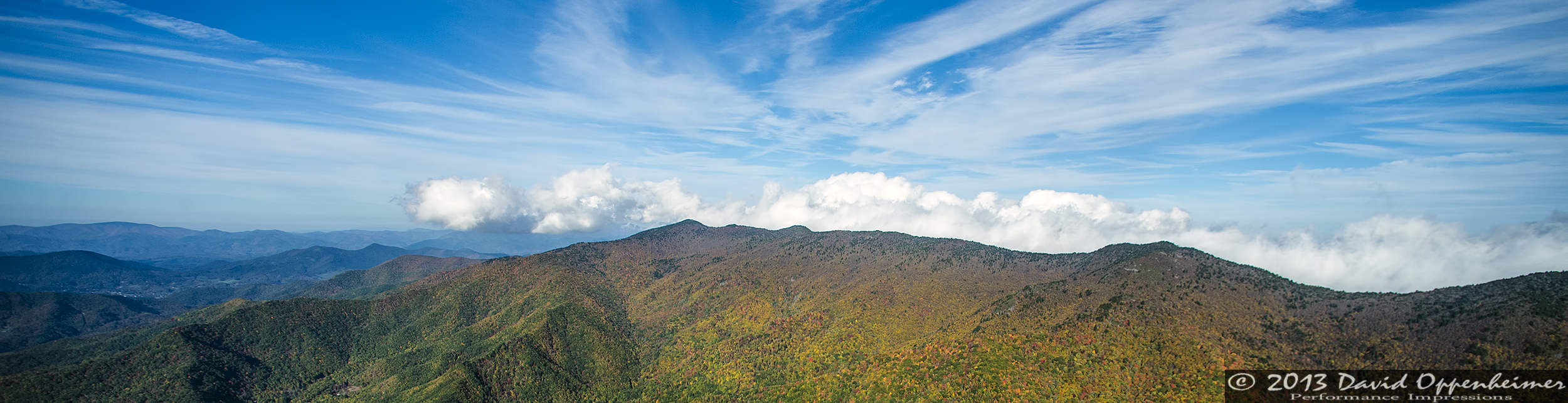
Western North Carolina Mountain View
East of Dillingham
Over the Blacks Range

Nearly Engulfed

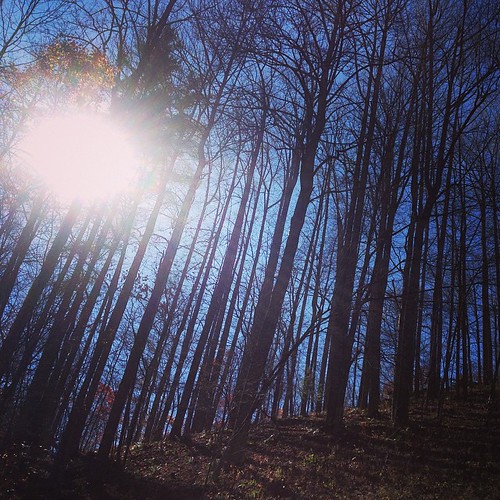
So. This isn't a bad view for my back yard. #notcomplaining #waittillwinter

Dark and Misty
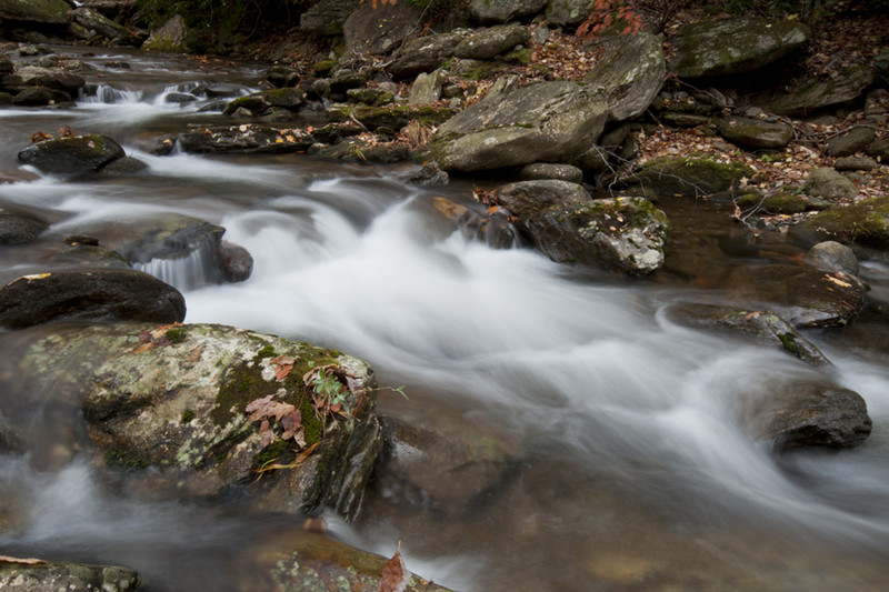
7-Second Video: Corner Rock Creek, Pisgah National Forest

A mountain view
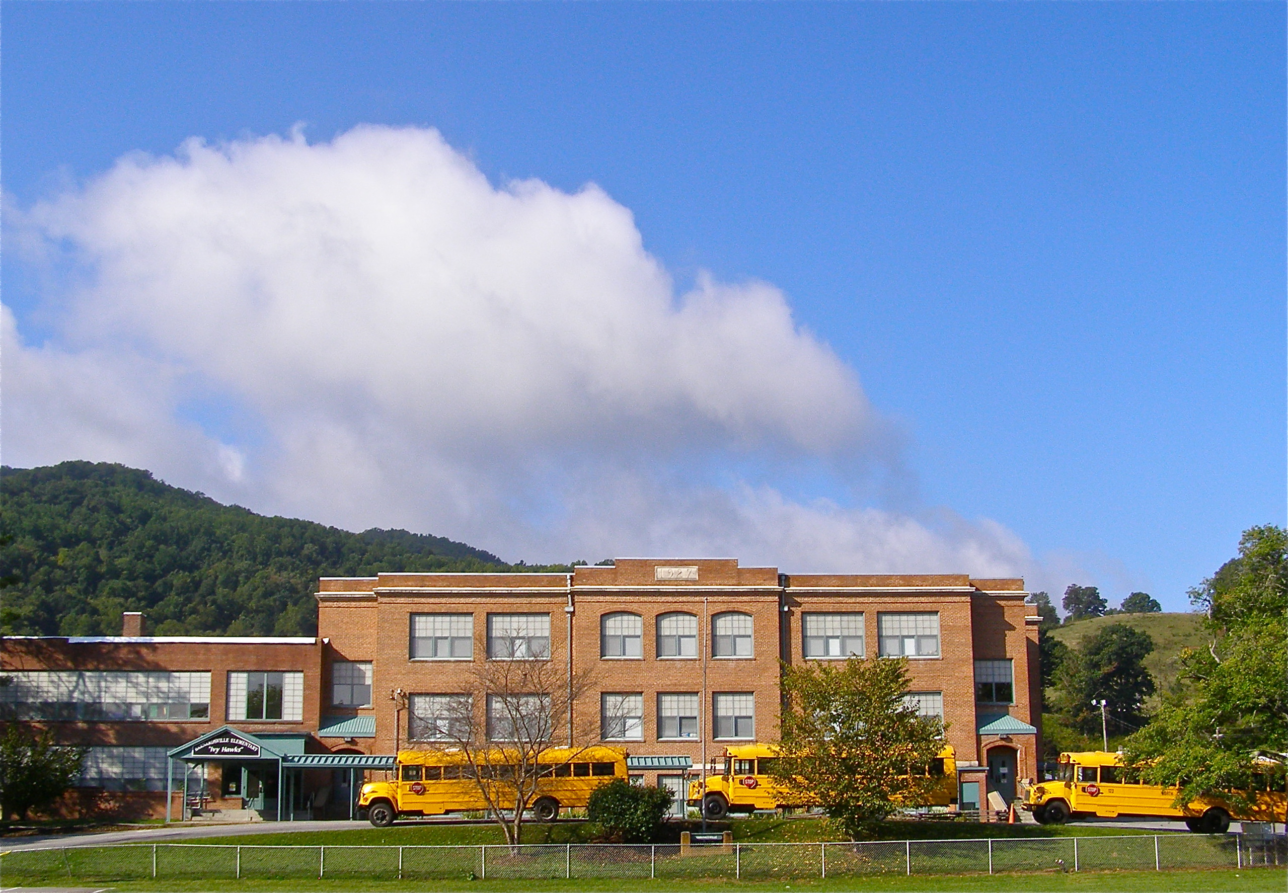
Mountain School
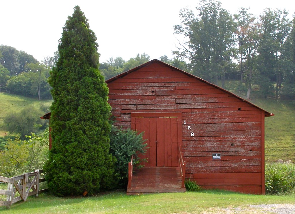
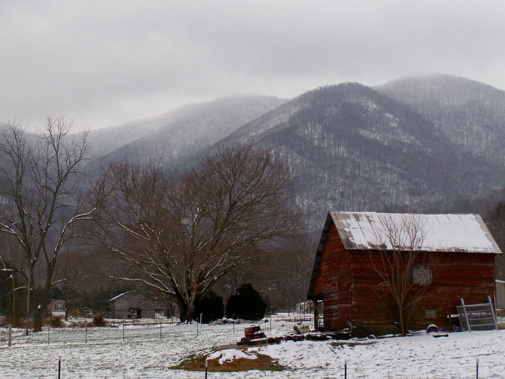
Red Barn with Tree
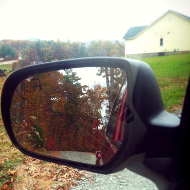
Check out the#beautiful#view in the#mirror

NC 197 (Fall, 2010)

THE MUMMY 3
Solo Creek

NC 197 (Fall, 2010)

Mount Mitchell
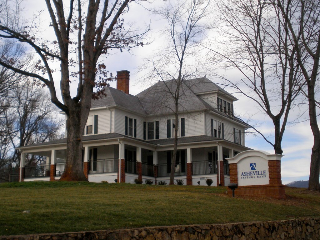
The Bank

Evening light at Scenic Wolf

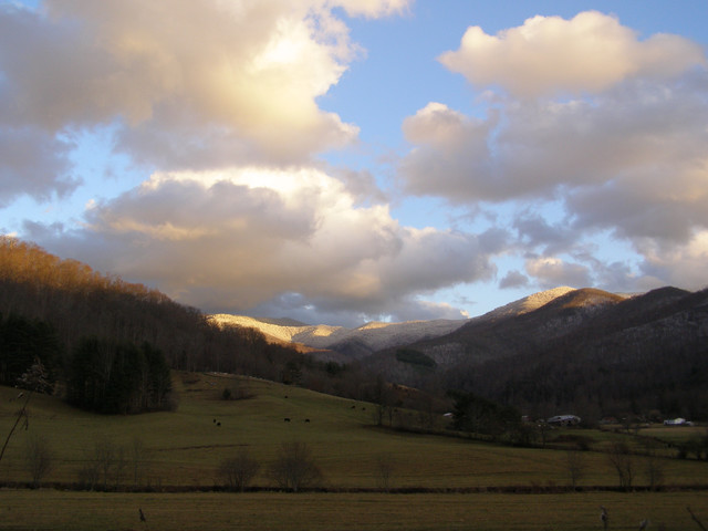
After the Storm
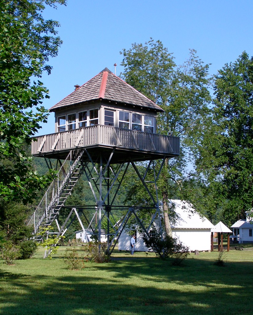
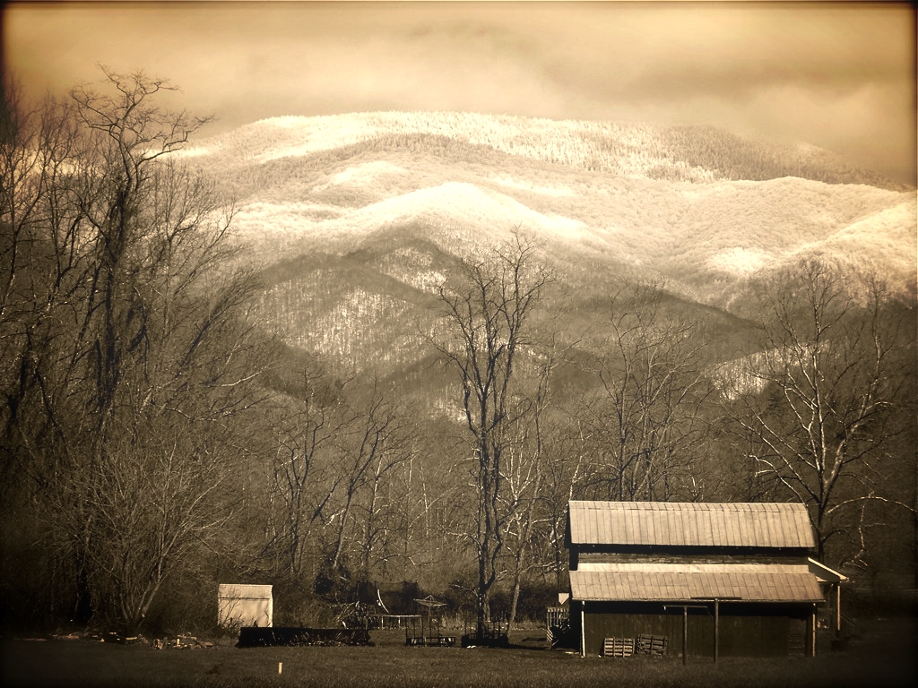
Little Snowball Fire Tower, 1934
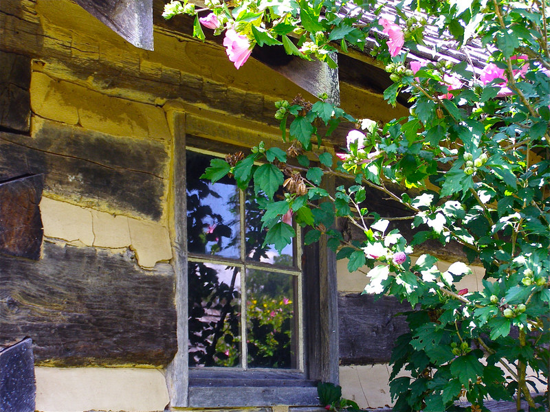
Window View

My Misty Mountains
The Cure
The light fades so quickly here at the farm in the winter. Soft light through bare trees, and peace. #nature #appalachia #riversongmountainsanctuary #wildkatuahhealingarts

Nature and Man

Fog, Grey, Mist--
All's Well
Haw Branch Barns
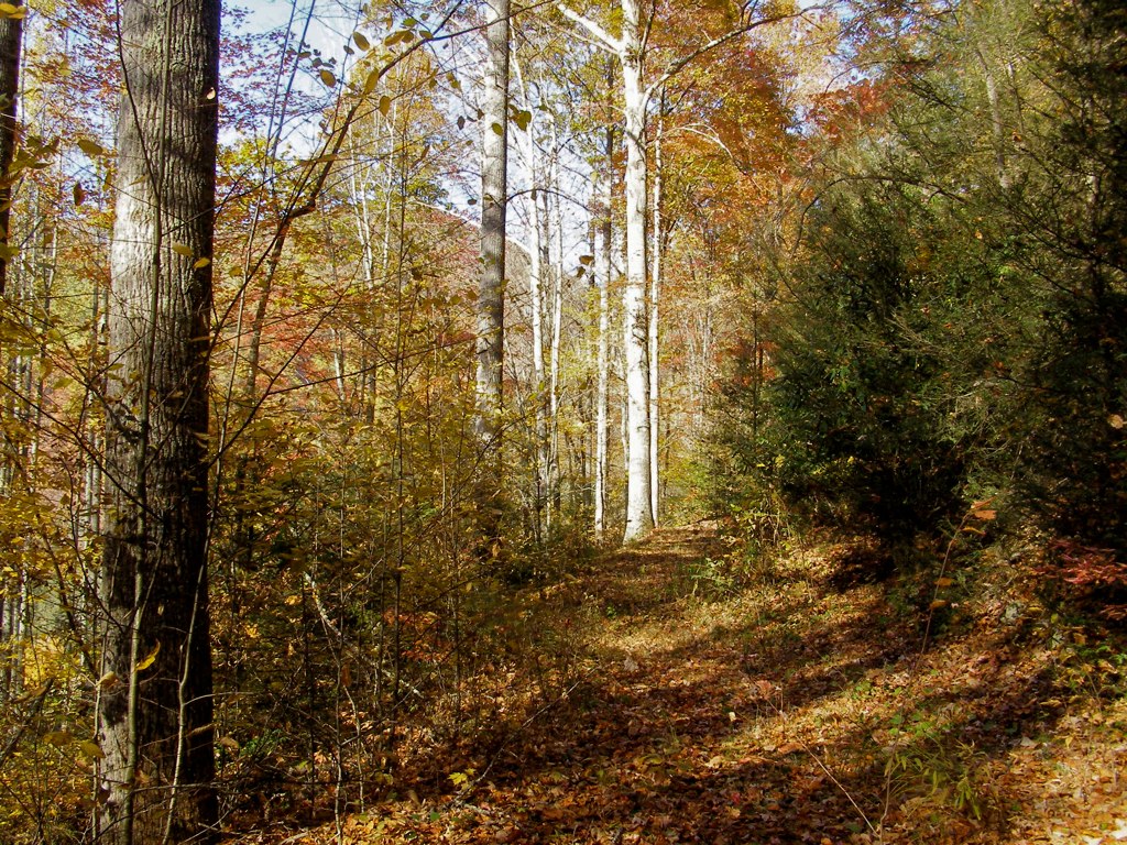
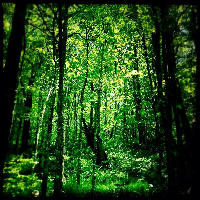
The Upland
Flush at Walker Creek, 2009
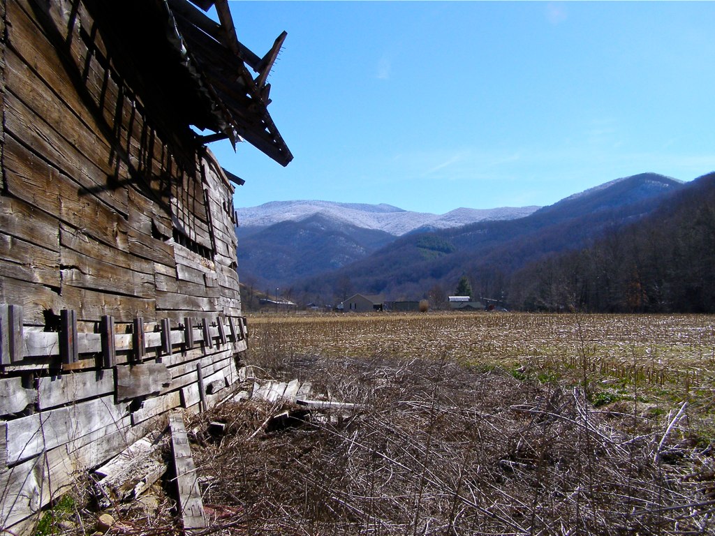
Yesterday's Barn
Mount Mitchell State Park in Autumn Colors
My Favorite

Wide Water
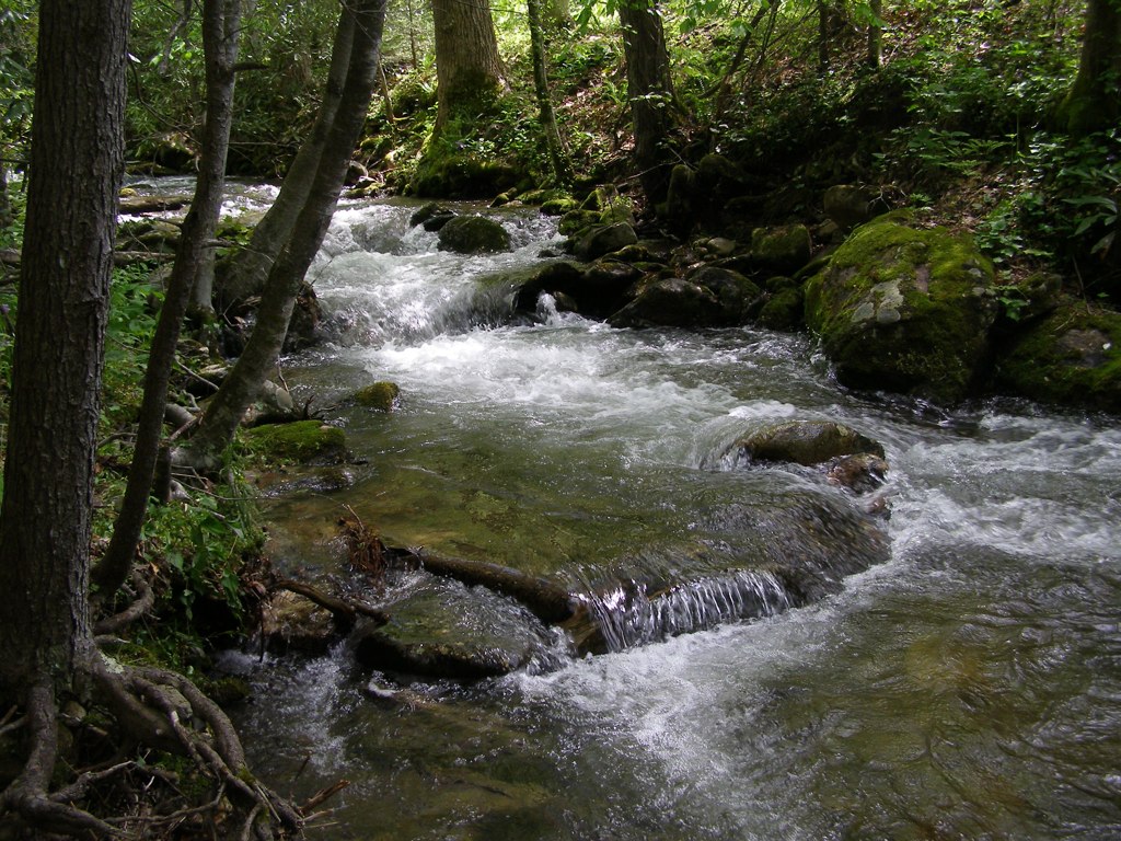
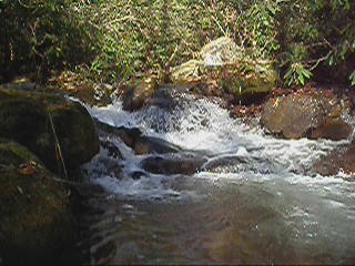
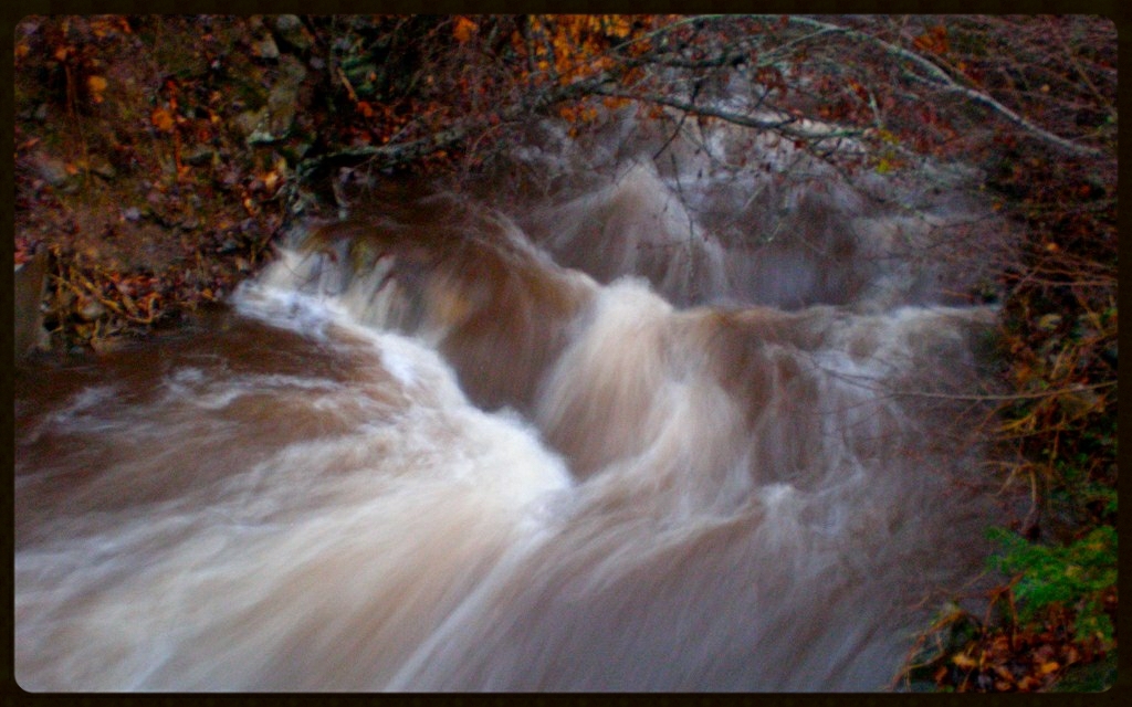
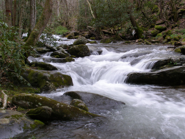
Cascade: Corner Rock Creek

Spring Rain
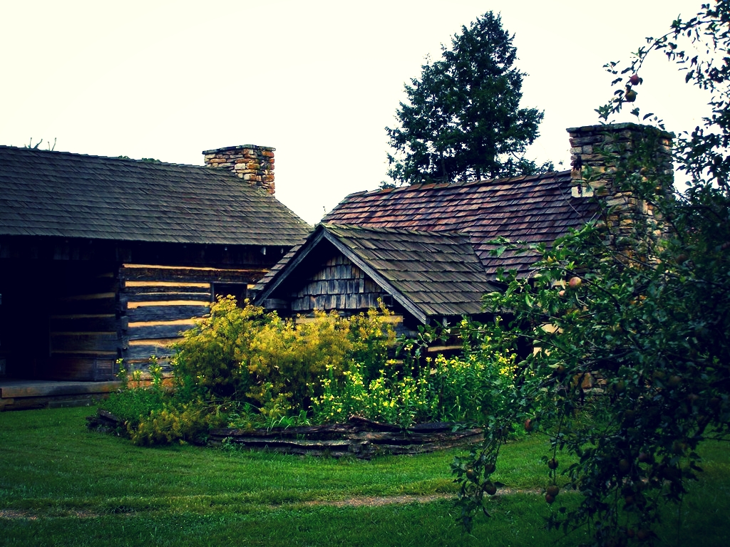
Morning at the Cabin
Topographic Map of Hortons Creek Rd, Burnsville, NC, USA
Find elevation by address:

Places near Hortons Creek Rd, Burnsville, NC, USA:
17 Mcpeters Ln
Hortons Creek Road
Hortons Creek Road
Paint Gap
21 Penland Hollow Rd
287 Crow Ln
28 Old Cabin Ln
190 Charity Ln
737 Charity Ln
274 White Pine Ln
32 Hortons Creek Rd
118 Victory Ln
955 Red Wolf Run
1128 Possum Trot Rd
477 New Ground Dr
477 New Ground Dr
49-185 Pinnacle Rd
329 Pinnacle Rd
329 Pinnacle Rd
223 Pinnacle Rd
Recent Searches:
- Elevation of Fern Rd, Whitmore, CA, USA
- Elevation of 62 Abbey St, Marshfield, MA, USA
- Elevation of Fernwood, Bradenton, FL, USA
- Elevation of Felindre, Swansea SA5 7LU, UK
- Elevation of Leyte Industrial Development Estate, Isabel, Leyte, Philippines
- Elevation of W Granada St, Tampa, FL, USA
- Elevation of Pykes Down, Ivybridge PL21 0BY, UK
- Elevation of Jalan Senandin, Lutong, Miri, Sarawak, Malaysia
- Elevation of Bilohirs'k
- Elevation of 30 Oak Lawn Dr, Barkhamsted, CT, USA