Elevation of Shake Rag Rd, Mars Hill, NC, USA
Location: United States > North Carolina > Madison County > 3, Mars Hill > Mars Hill >
Longitude: -82.489885
Latitude: 35.869084
Elevation: 739m / 2425feet
Barometric Pressure: 93KPa
Elevation Map:
Satellite Map:
Related Photos:

Purple Phacelia (Waterleaf)

Carson Cabin, Big Ivy Historical Park

Craggy Mountains, Contrasted View

East of Dillingham

Over the Blacks Range

Nearly Engulfed

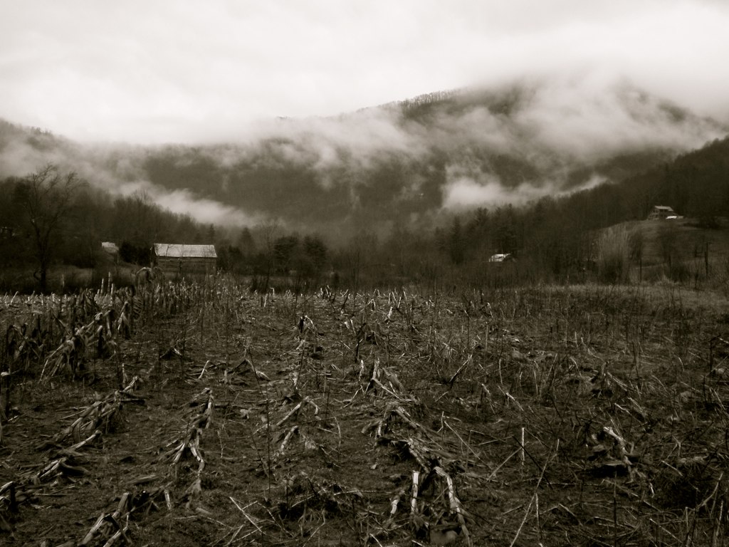
Dark and Misty

Western North Carolina Mountain View

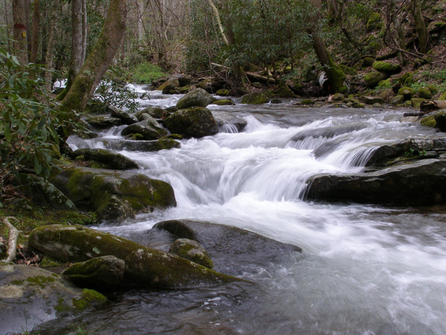
7-Second Video: Corner Rock Creek, Pisgah National Forest

A mountain view
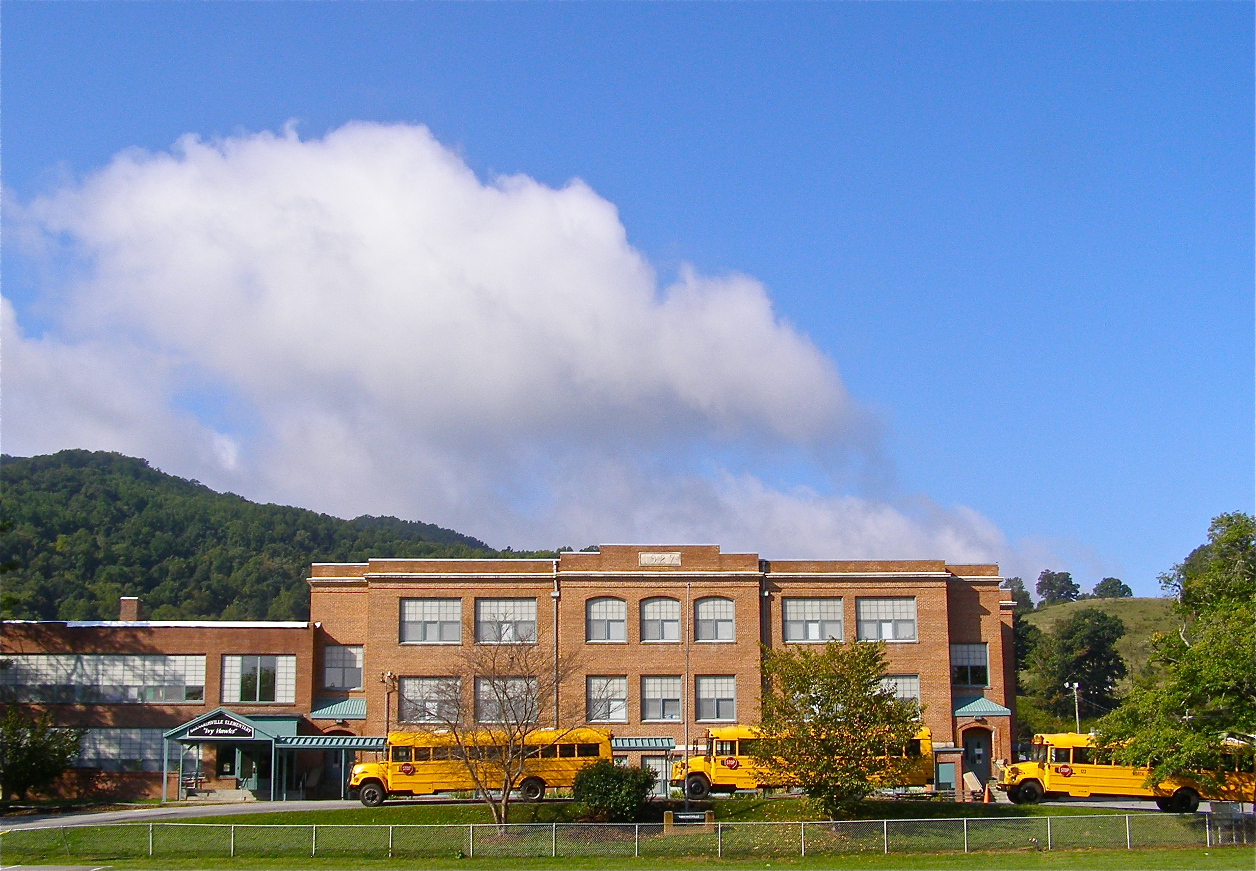
Mountain School

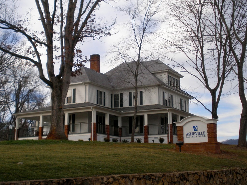
Carter-Swain House

I-26 West view

Solo Creek
The Bank

NC 197 (Fall, 2010)

Carter-Swain House

View from W4T/SU-024 - High Rock

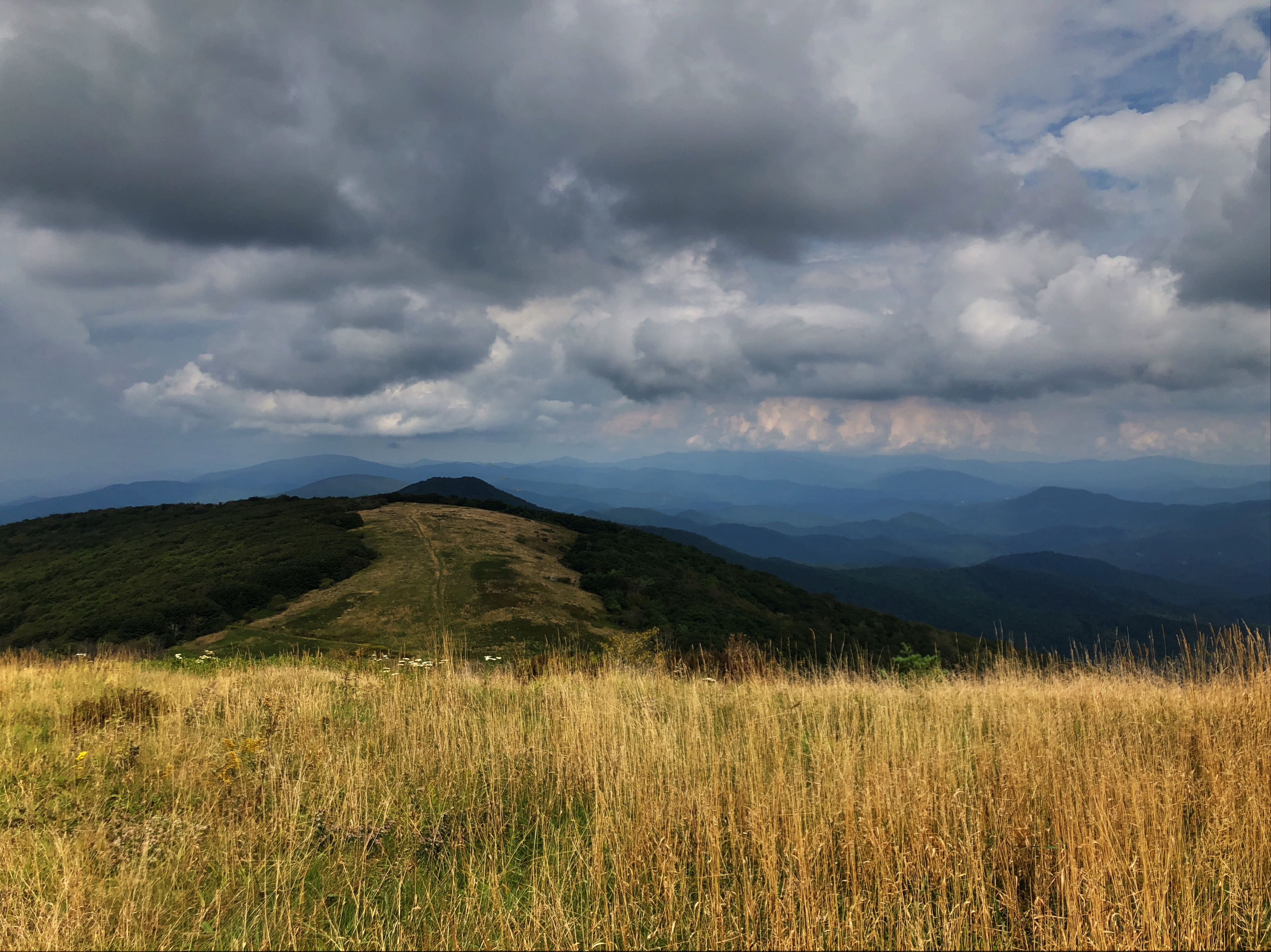
Bald Mountain

NC 197 (Fall, 2010)

Evening light at Scenic Wolf

Nature and Man
Flush at Walker Creek, 2009
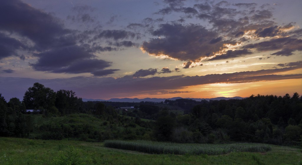
Jupiter Sunset

Misty Mountains

The Cure
All's Well
Fog, Grey, Mist--

Square Framed

Haw Branch Barns

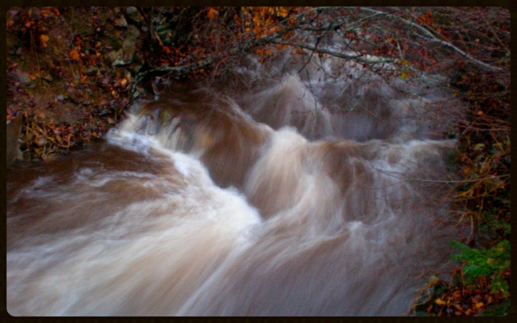
Cascade: Corner Rock Creek

Yesterday's Barn

Wide Water

Mosaic at Walker

Cabin in the Woods - Selective Colorization

Spring Rain
Big Bald
Topographic Map of Shake Rag Rd, Mars Hill, NC, USA
Find elevation by address:

Places near Shake Rag Rd, Mars Hill, NC, USA:
30 State Rd, Mars Hill, NC, USA
1511 California Creek Rd
1511 California Creek Rd
123 Alvins Fox Trail
403 Fred Holcombe Rd
11 Sandys Home Pl
Mountain Meadows Lane
Alvins Fox Trail
Ponder Creek Road
1041 Ponder Creek Rd
892 Old Murray Rd
1190 Old Murray Rd
1419 Ponder Creek Rd
3364 Crooked Creek Rd
Paint Fork Rd, Mars Hill, NC, USA
1257 Fred Holcombe Rd
103 Granny Shepherd Rd
Ivy Gap
54 Sandy Ln
Chandler Creek Road
Recent Searches:
- Elevation of Leguwa, Nepal
- Elevation of County Rd, Enterprise, AL, USA
- Elevation of Kolchuginsky District, Vladimir Oblast, Russia
- Elevation of Shustino, Vladimir Oblast, Russia
- Elevation of Lampiasi St, Sarasota, FL, USA
- Elevation of Elwyn Dr, Roanoke Rapids, NC, USA
- Elevation of Congressional Dr, Stevensville, MD, USA
- Elevation of Bellview Rd, McLean, VA, USA
- Elevation of Stage Island Rd, Chatham, MA, USA
- Elevation of Shibuya Scramble Crossing, 21 Udagawacho, Shibuya City, Tokyo -, Japan