Elevation of Paint Fork Rd, Mars Hill, NC, USA
Location: United States > North Carolina > Madison County > 4, Beech Glenn >
Longitude: -82.449177
Latitude: 35.8599492
Elevation: 718m / 2356feet
Barometric Pressure: 93KPa
Elevation Map:
Satellite Map:
Related Photos:

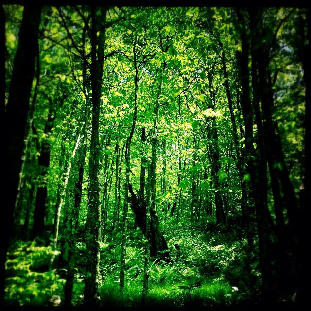
Nearly Engulfed

Dark and Misty

THE MUMMY 3
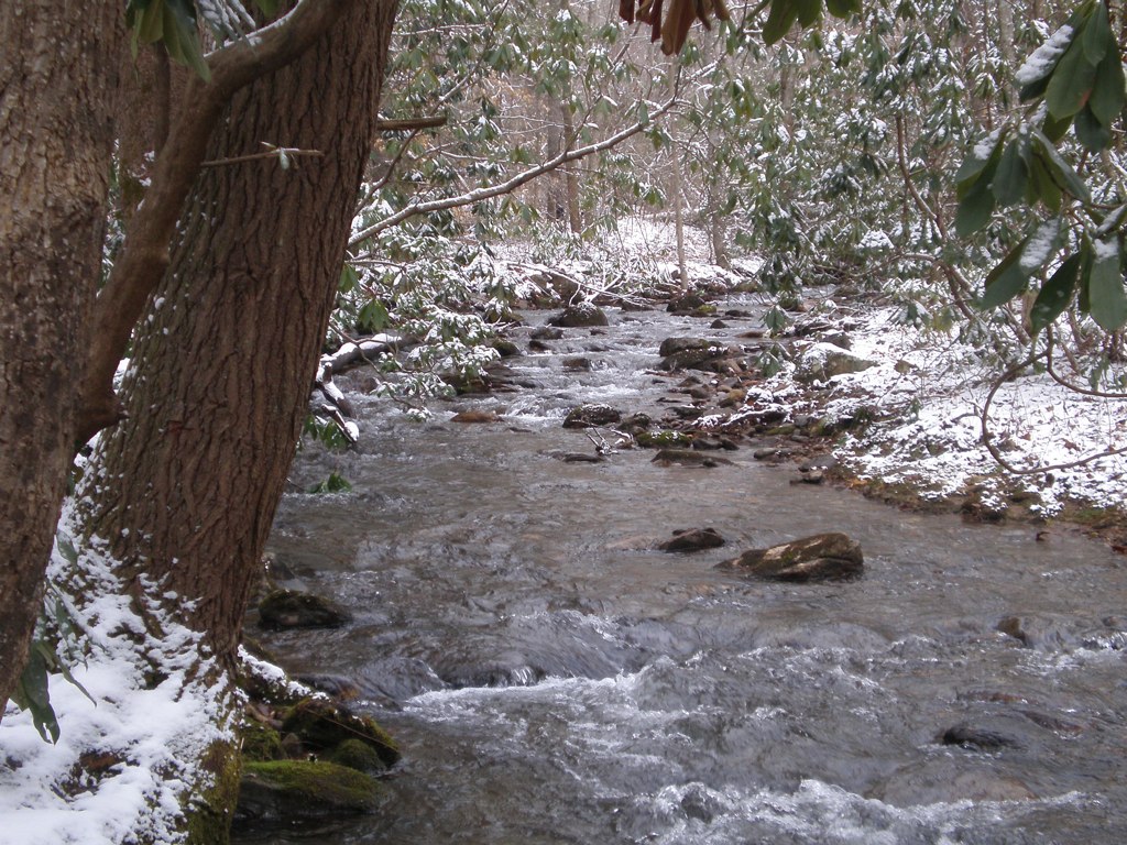
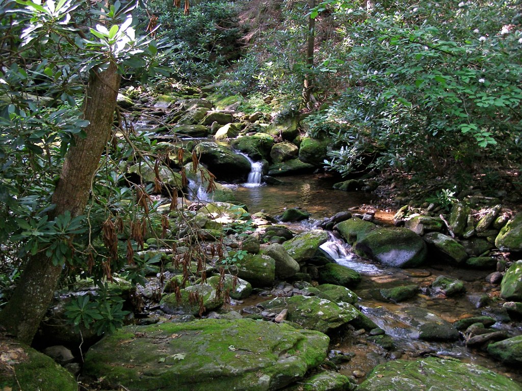
Solo Creek

Mount Mitchell
Window View
View from Antioch Church
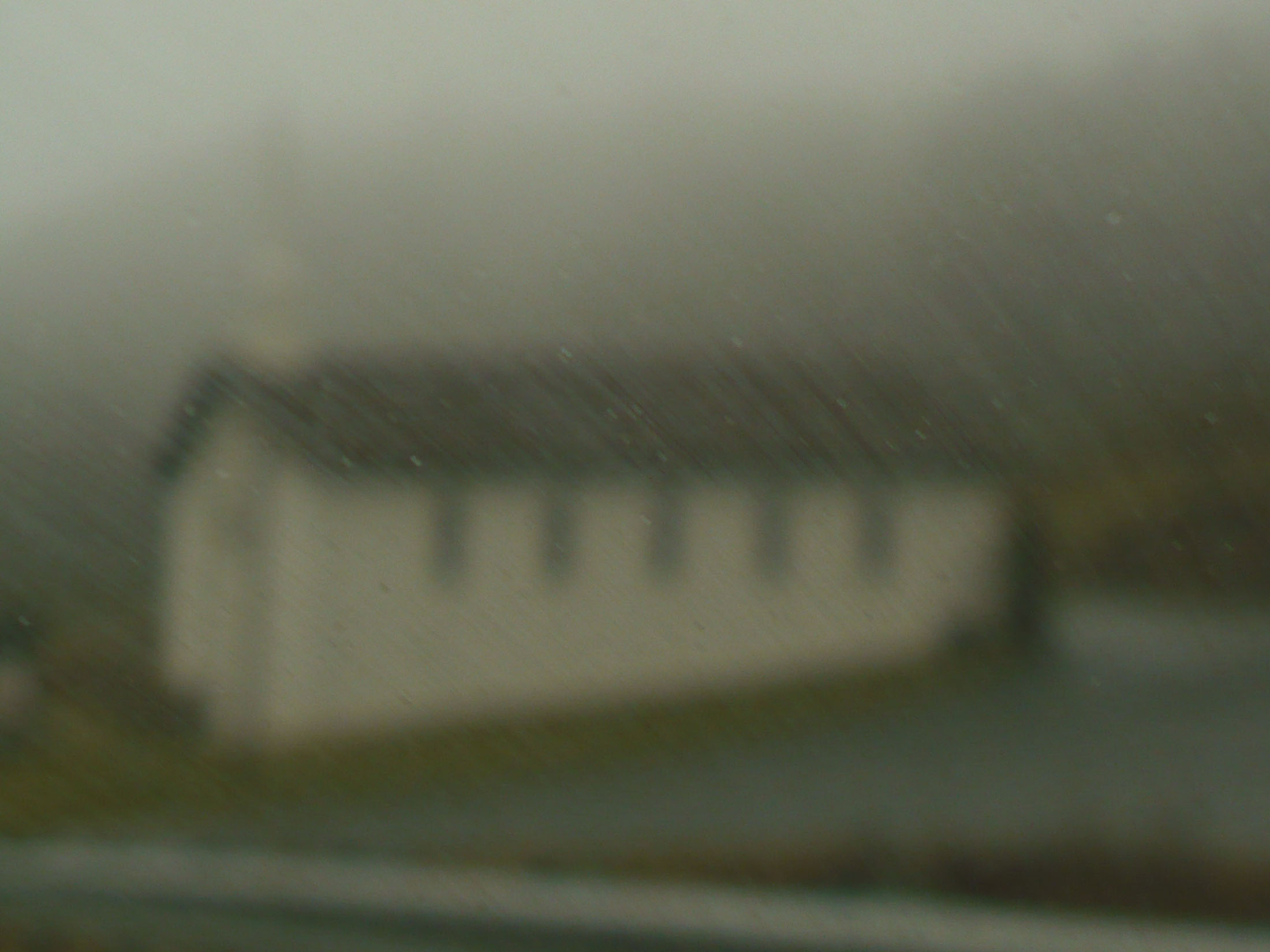
church in the rain
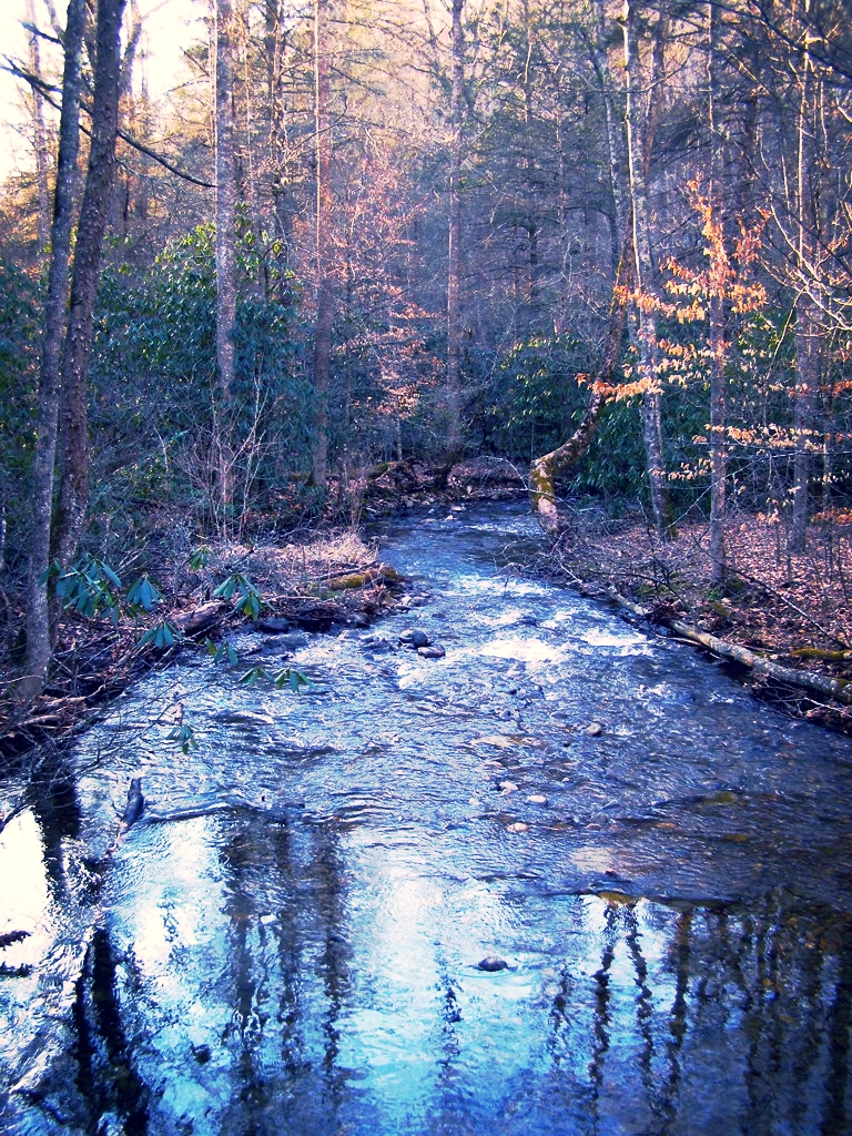
Stoney Fork, North Carolina
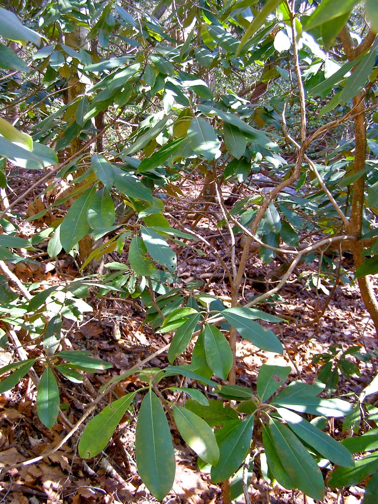
A "Laurel Hell" (Rhododendron maxima)

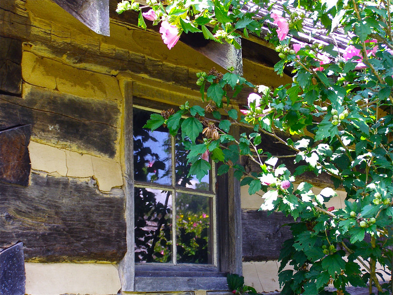
Carson Cabin, Big Ivy Historical Park
East of Dillingham

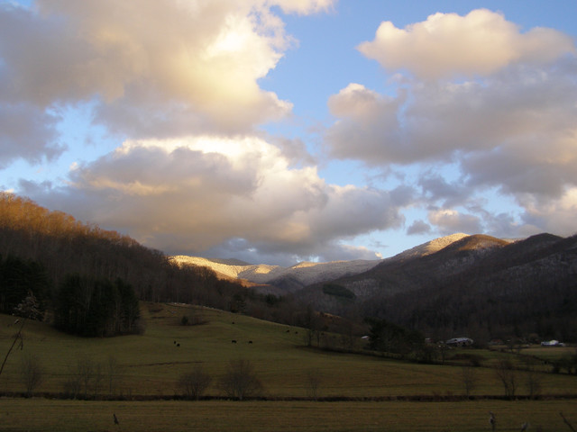
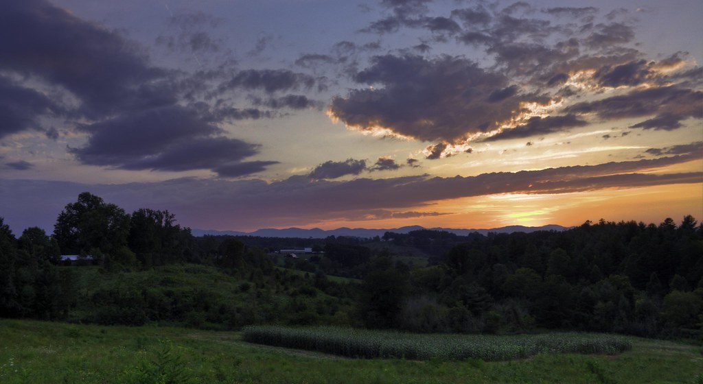
blue ridge valley
Over the Blacks Range

So. This isn't a bad view for my back yard. #notcomplaining #waittillwinter
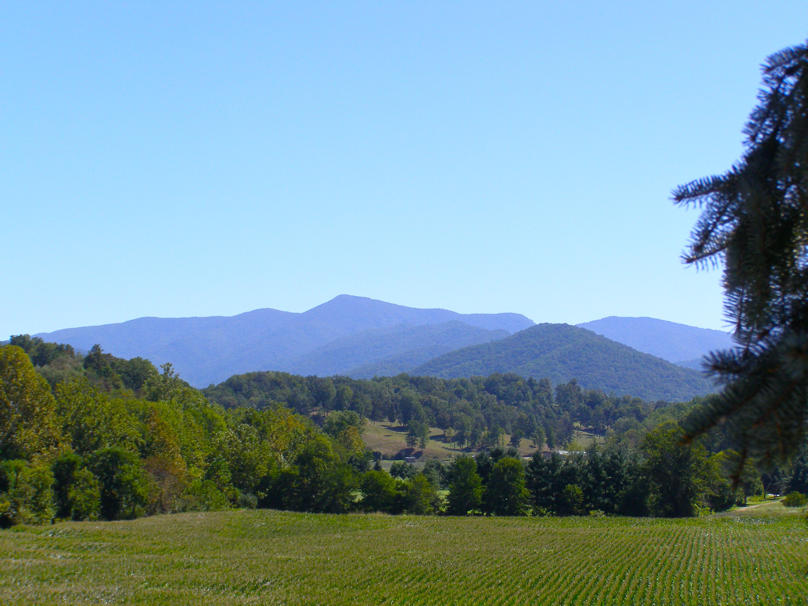
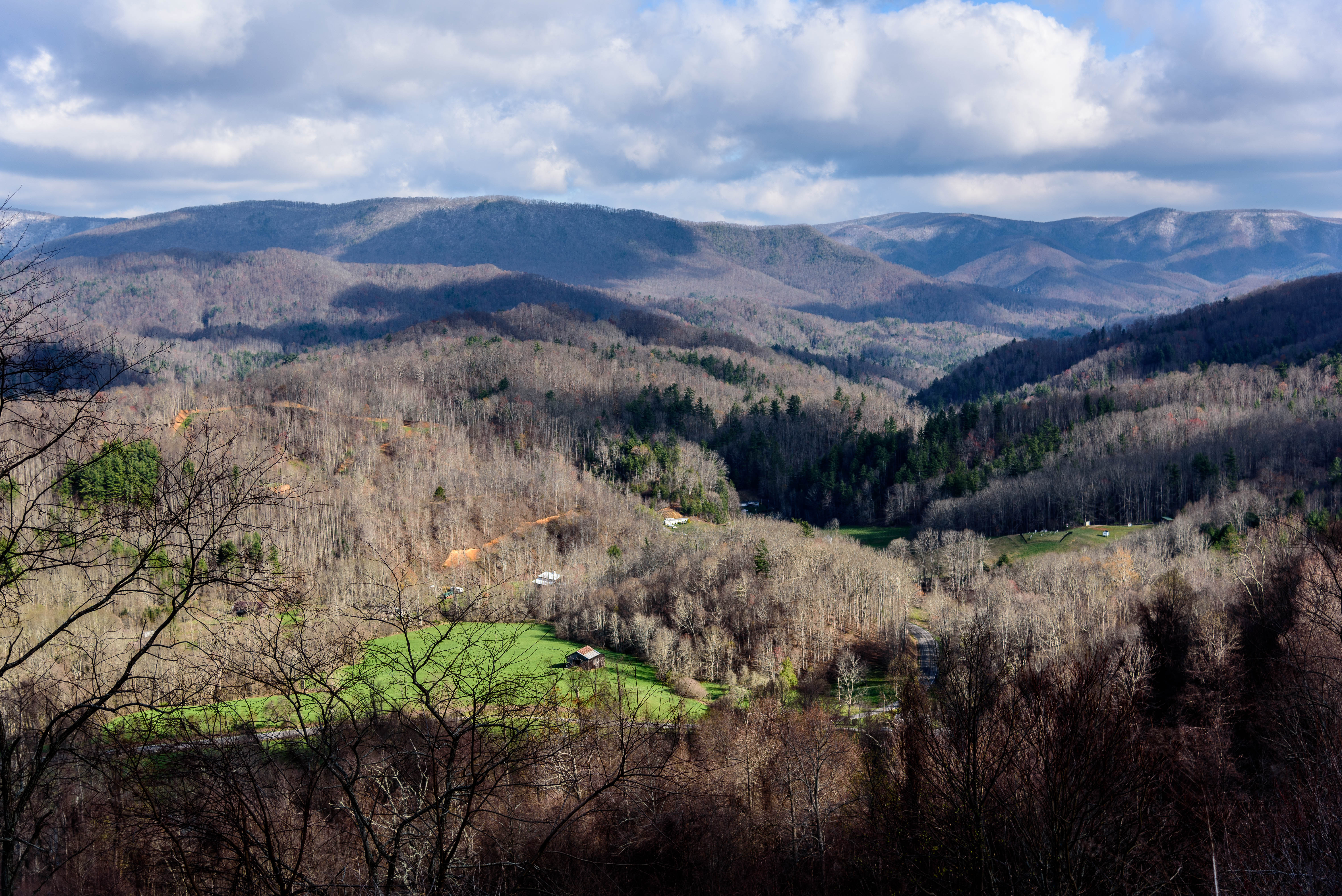
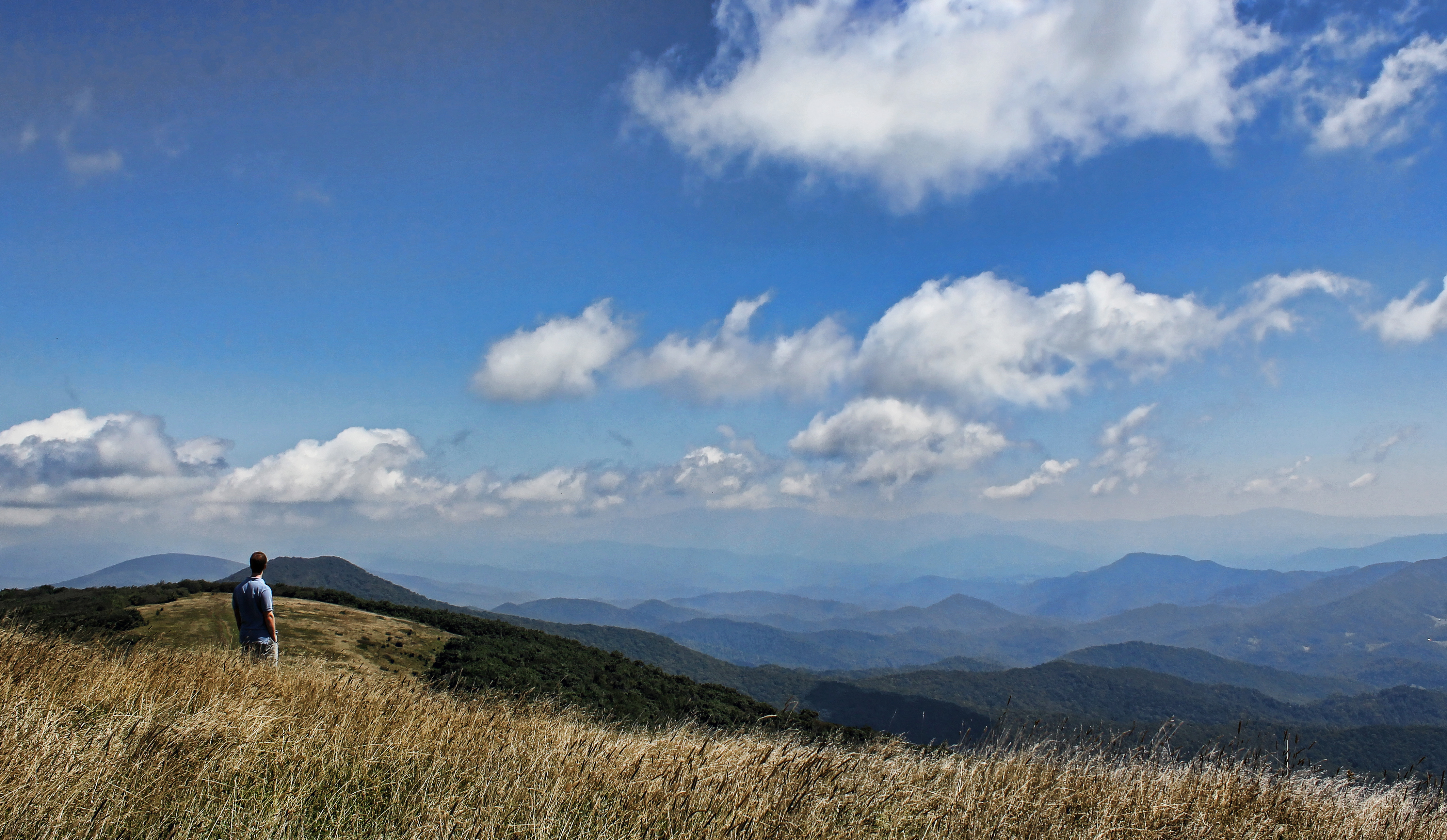
Western North Carolina Mountain View

A mountain view
Scenic Wolf Resort View at Dusk
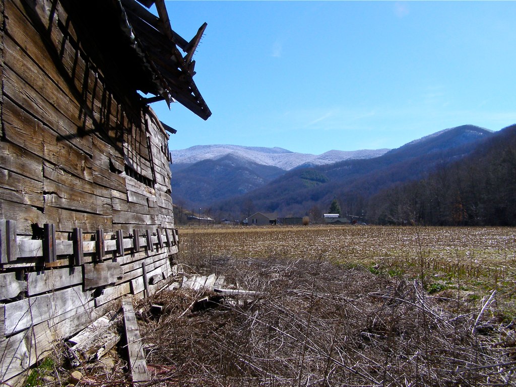
Red Barn with Tree
Check out the#beautiful#view in the#mirror

NC 197 (Fall, 2010)
The Cure
Jupiter Sunset

Spring Rain
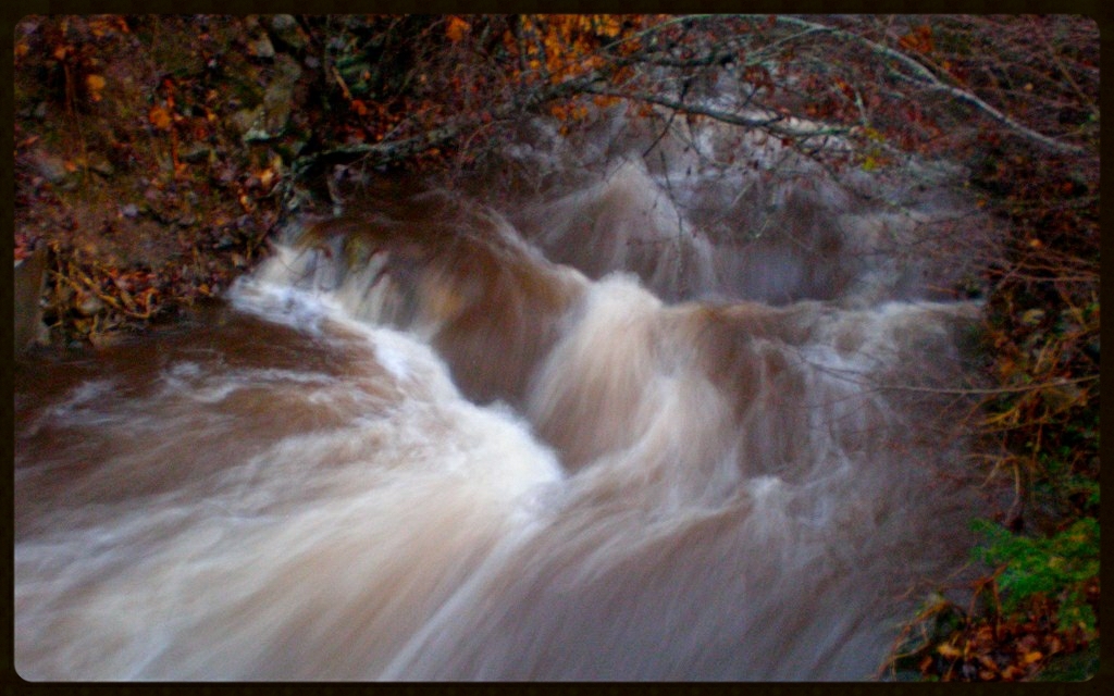
Flush at Walker Creek, 2009
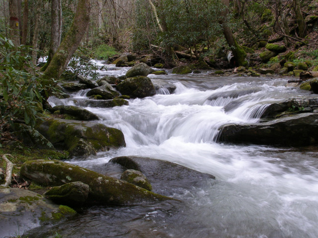
Up the Creek

High Water on Walker Creek
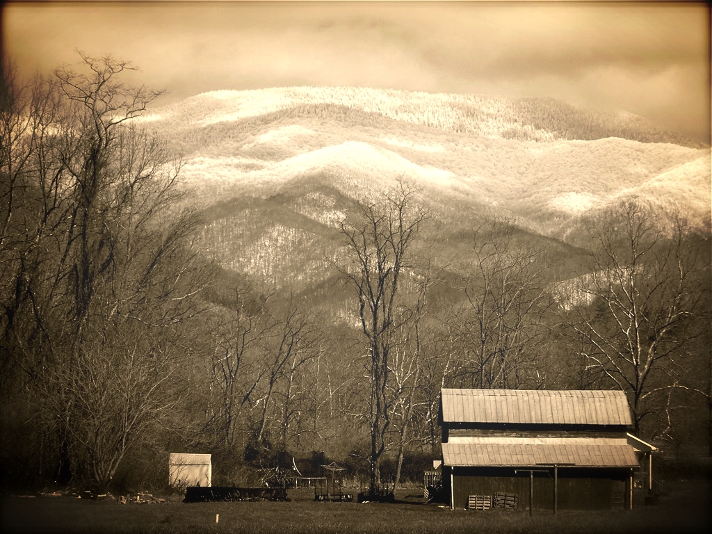
Eastern Tennessee
The light fades so quickly here at the farm in the winter. Soft light through bare trees, and peace. #nature #appalachia #riversongmountainsanctuary #wildkatuahhealingarts

Fog, Grey, Mist--
Haw Branch Barns
Yesterday's Barn

Wide Water
All's Well

Nature and Man
The Lookout

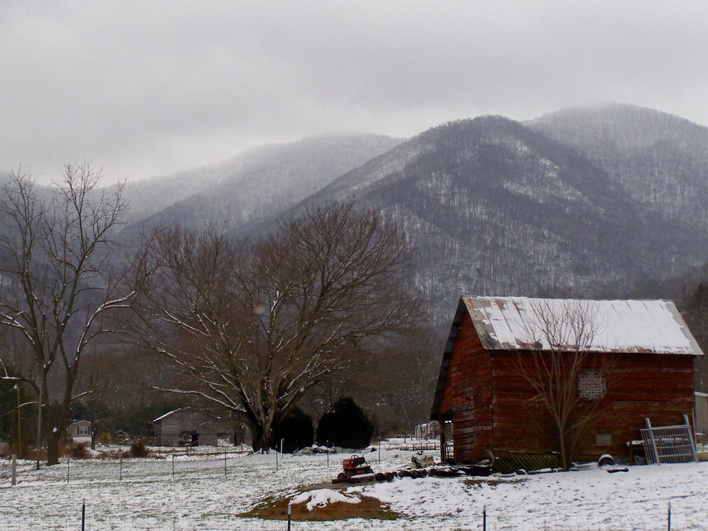
My Misty Mountains
Topographic Map of Paint Fork Rd, Mars Hill, NC, USA
Find elevation by address:

Places near Paint Fork Rd, Mars Hill, NC, USA:
Mountain Meadows Lane
11 Sandys Home Pl
955 Red Wolf Run
3364 Crooked Creek Rd
Ponder Creek Road
1419 Ponder Creek Rd
30 State Rd, Mars Hill, NC, USA
1041 Ponder Creek Rd
287 Crow Ln
Hortons Creek Road
Hortons Creek Road
17 Mcpeters Ln
1499 Hortons Creek Rd
508 Shake Rag Rd
396 Hidden Creek Ln
21 Penland Hollow Rd
190 Charity Ln
Paint Gap
28 Old Cabin Ln
Evergreen Road
Recent Searches:
- Elevation of Gateway Blvd SE, Canton, OH, USA
- Elevation of East W.T. Harris Boulevard, E W.T. Harris Blvd, Charlotte, NC, USA
- Elevation of West Sugar Creek, Charlotte, NC, USA
- Elevation of Wayland, NY, USA
- Elevation of Steadfast Ct, Daphne, AL, USA
- Elevation of Lagasgasan, X+CQH, Tiaong, Quezon, Philippines
- Elevation of Rojo Ct, Atascadero, CA, USA
- Elevation of Flagstaff Drive, Flagstaff Dr, North Carolina, USA
- Elevation of Avery Ln, Lakeland, FL, USA
- Elevation of Woolwine, VA, USA