Elevation of Mount Stanley QLD, Australia
Location: Australia > Queensland > Somerset Regional >
Longitude: 152.184345
Latitude: -26.654697
Elevation: 186m / 610feet
Barometric Pressure: 99KPa
Elevation Map:
Satellite Map:
Related Photos:

Enjoying the View

Enjoying the view

Enjoying the View

Enjoying the View

Barrow Annie

River Crossing

The End of Eastern Branch Road

Tom with Grass Trees
Down the Big Hill

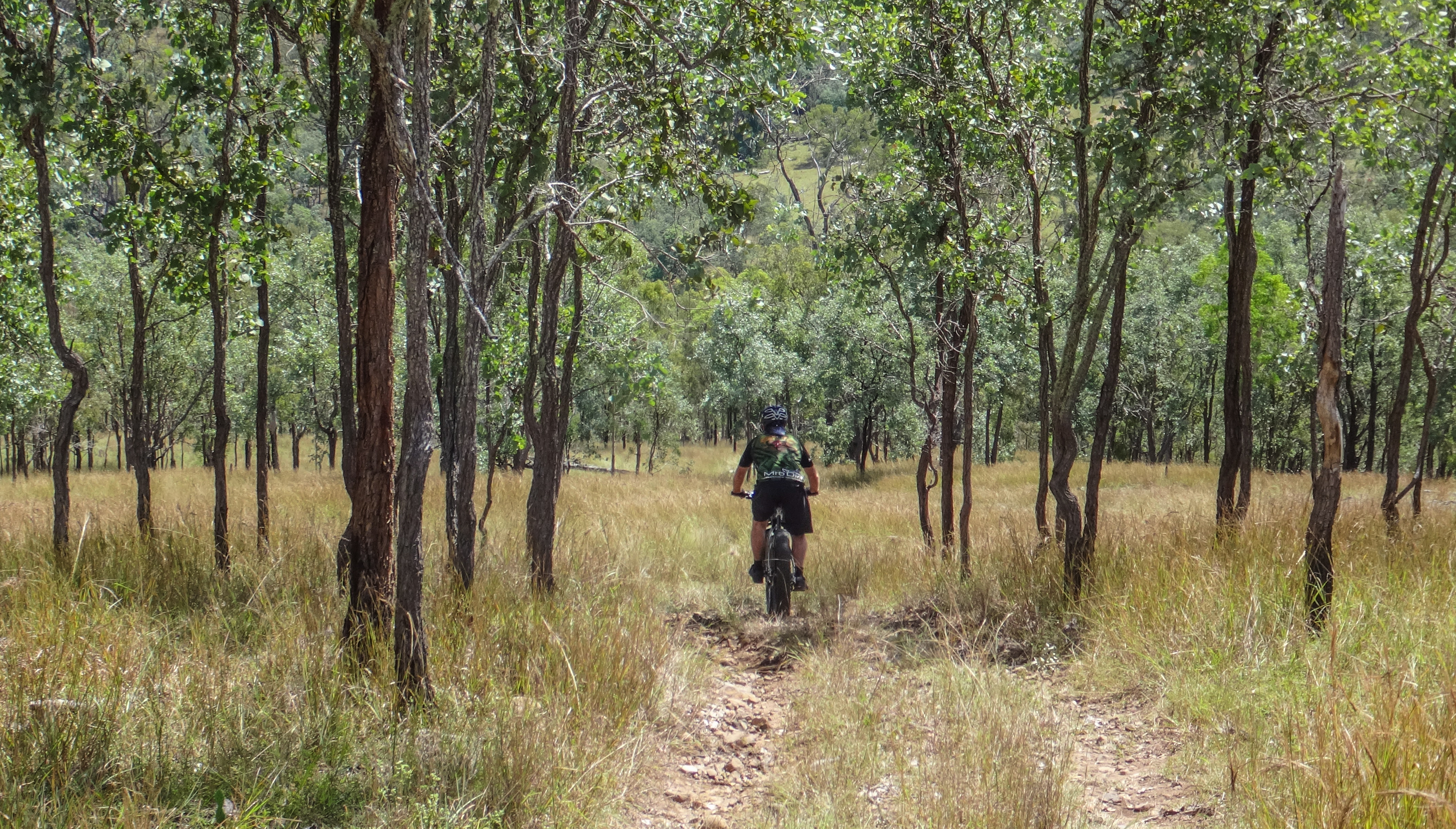
"Brown Poles"

Andrea and Wayne

Eastern Branch Road

Crossing 15

Hill Climb

Brisbane River - Eastern Branch

Crossing 1

Crossing 1

Crossing 1

Crossing 1

Crossing 1

Crossing 1

Mount Gibbarnee
Topographic Map of Mount Stanley QLD, Australia
Find elevation by address:

Places near Mount Stanley QLD, Australia:
East Nanango
Nanango
Porter Road
Elgin Vale
Monsildale
Manumbar Road
3085 Monsildale Rd
Manumbar
Manumbar
Amamoor Creek
Quandong Road
1440 Kandanga Creek Rd
Upper Kandanga
Amamoor State Forest
3 Upper Thornside Rd
Imbil
240 Walli Creek Rd
9 Margaret St
Margaret Street
3725 Maleny Kenilworth Rd
Recent Searches:
- Elevation of Leguwa, Nepal
- Elevation of County Rd, Enterprise, AL, USA
- Elevation of Kolchuginsky District, Vladimir Oblast, Russia
- Elevation of Shustino, Vladimir Oblast, Russia
- Elevation of Lampiasi St, Sarasota, FL, USA
- Elevation of Elwyn Dr, Roanoke Rapids, NC, USA
- Elevation of Congressional Dr, Stevensville, MD, USA
- Elevation of Bellview Rd, McLean, VA, USA
- Elevation of Stage Island Rd, Chatham, MA, USA
- Elevation of Shibuya Scramble Crossing, 21 Udagawacho, Shibuya City, Tokyo -, Japan