Elevation of Amamoor Creek QLD, Australia
Location: Australia > Queensland > Gympie Regional >
Longitude: 152.504781
Latitude: -26.382877
Elevation: 199m / 653feet
Barometric Pressure: 99KPa
Elevation Map:
Satellite Map:
Related Photos:

Lake Borumba

Morning Fog

Farm in Imbil

Cedar Grove Camping Grounds

Borumba Dam

Lake Borumba

Borumba dam wall
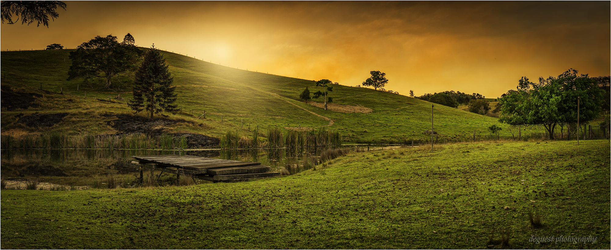
Sunset over the dam.Net.

Persimmon farm
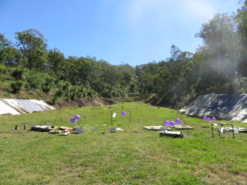
2016 05 17 1202a

2016 05 17 1248a
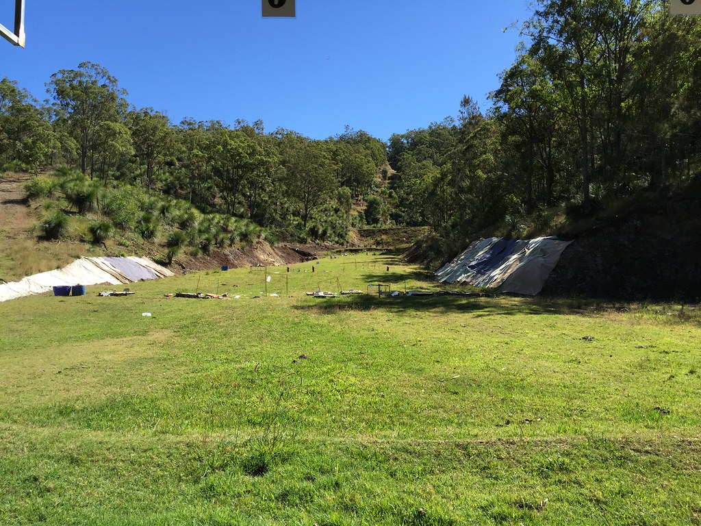
2016 05 17 1128a

2016 05 17 1440a

2016 05 17 1152a
Topographic Map of Amamoor Creek QLD, Australia
Find elevation by address:

Places near Amamoor Creek QLD, Australia:
Amamoor State Forest
1440 Kandanga Creek Rd
Upper Kandanga
Mooloo
400 Burgess Rd
Calico Creek
8 Robinson Rd
Quandong Road
655 Mcintosh Creek Rd
12 Paling Rd
Mcintosh Creek
Imbil
Widgee Crossing South
12 Jeremy Rd
3 Melaleuca Ct
39 Presidential Ave
18 Jasmine Ave
Southside
Jones Hill
3 Upper Thornside Rd
Recent Searches:
- Elevation of Keene Point Drive, Keene Point Dr, Grant, AL, USA
- Elevation of State St, Zanesville, OH, USA
- Elevation of Austin Stone Dr, Haslet, TX, USA
- Elevation of Bydgoszcz, Poland
- Elevation of Bydgoszcz, Poland
- Elevation of Calais Dr, Del Mar, CA, USA
- Elevation of Placer Mine Ln, West Jordan, UT, USA
- Elevation of E 63rd St, New York, NY, USA
- Elevation of Elk City, OK, USA
- Elevation of Erika Dr, Windsor, CA, USA