Elevation of East Nanango QLD, Australia
Location: Australia > Queensland > South Burnett Regional >
Longitude: 152.039221
Latitude: -26.666183
Elevation: 405m / 1329feet
Barometric Pressure: 97KPa
Elevation Map:
Satellite Map:
Related Photos:

Patrick McCallum
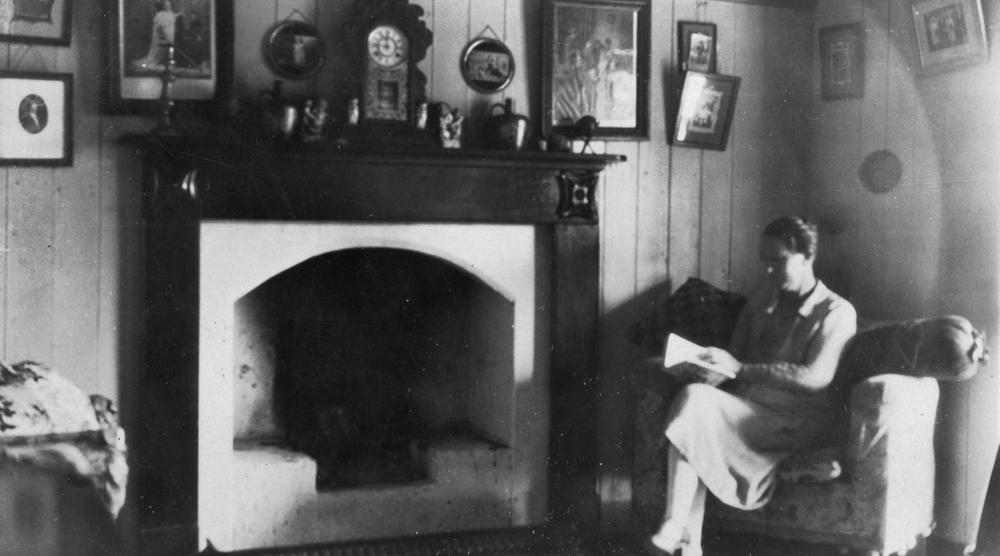
Sitting beside the fireplace reading a book, Nanango, ca. 1923
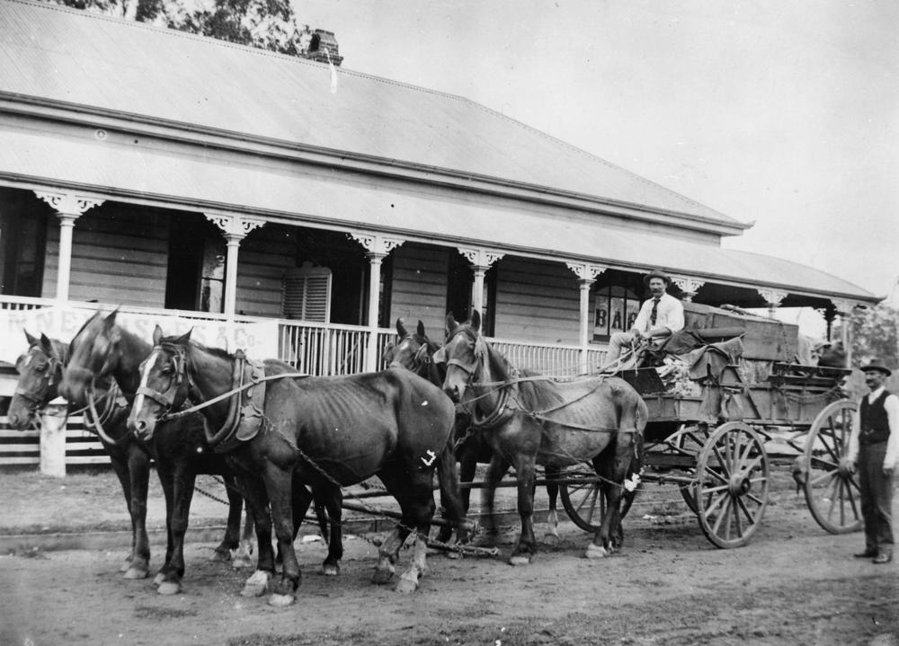
Wagon and a five horse team
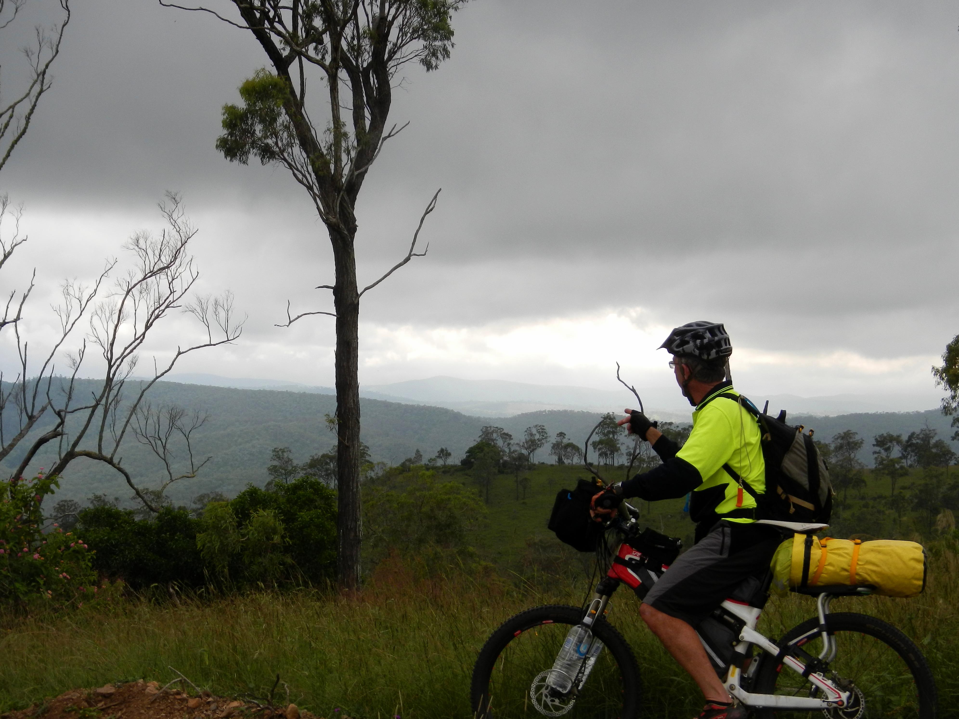
Enjoying the View
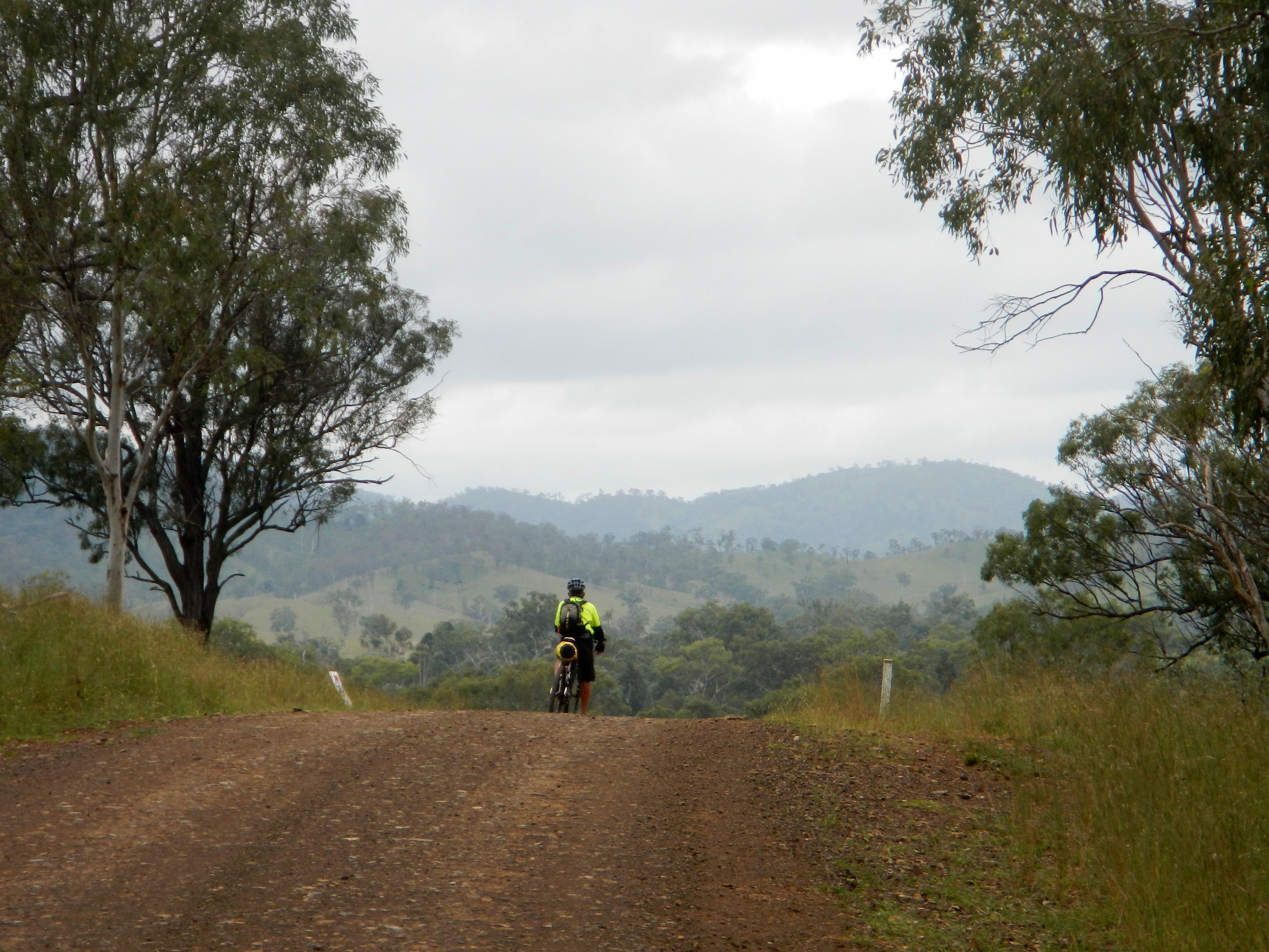
Enjoying the view
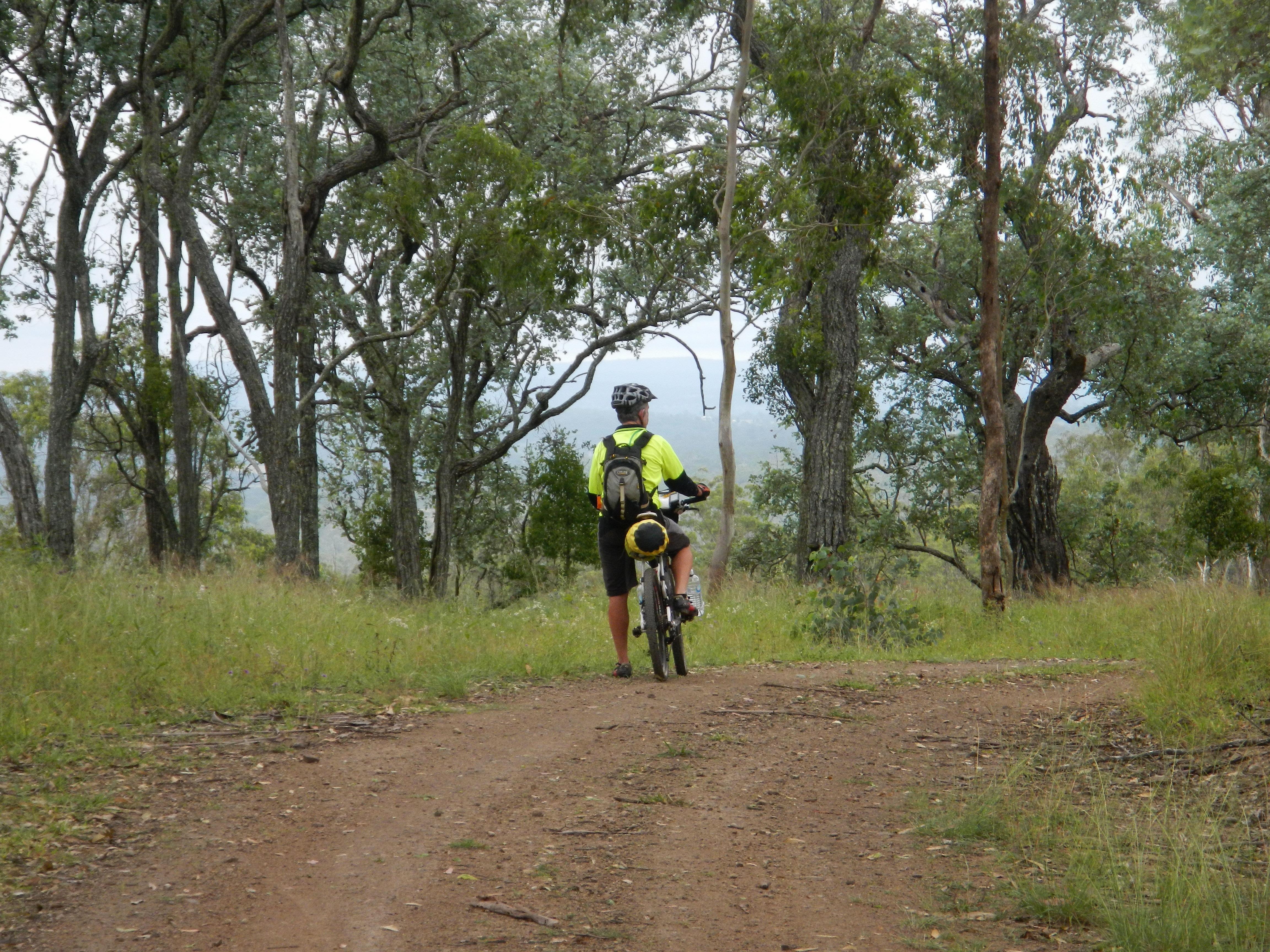
Enjoying the View
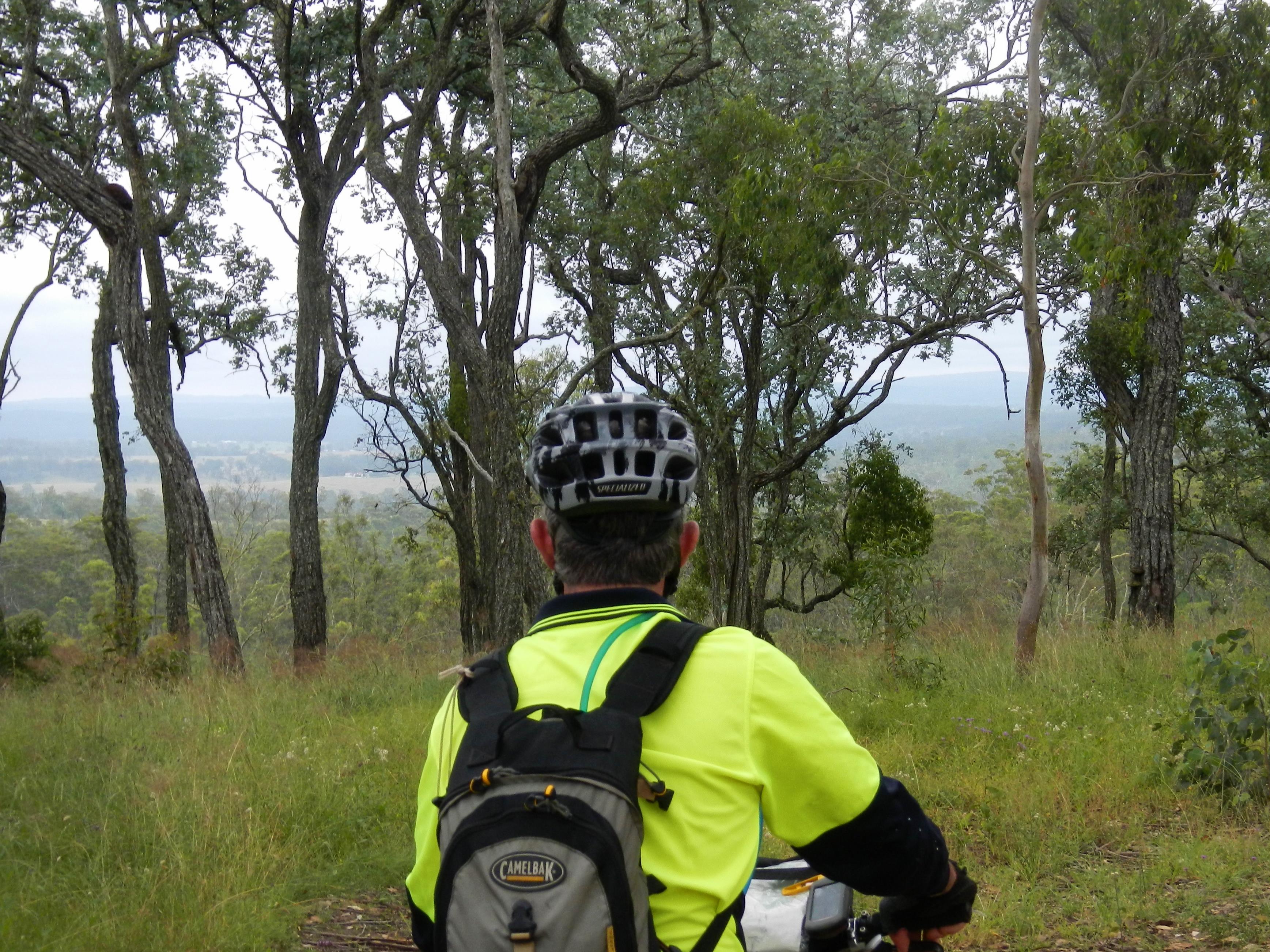
Enjoying the View
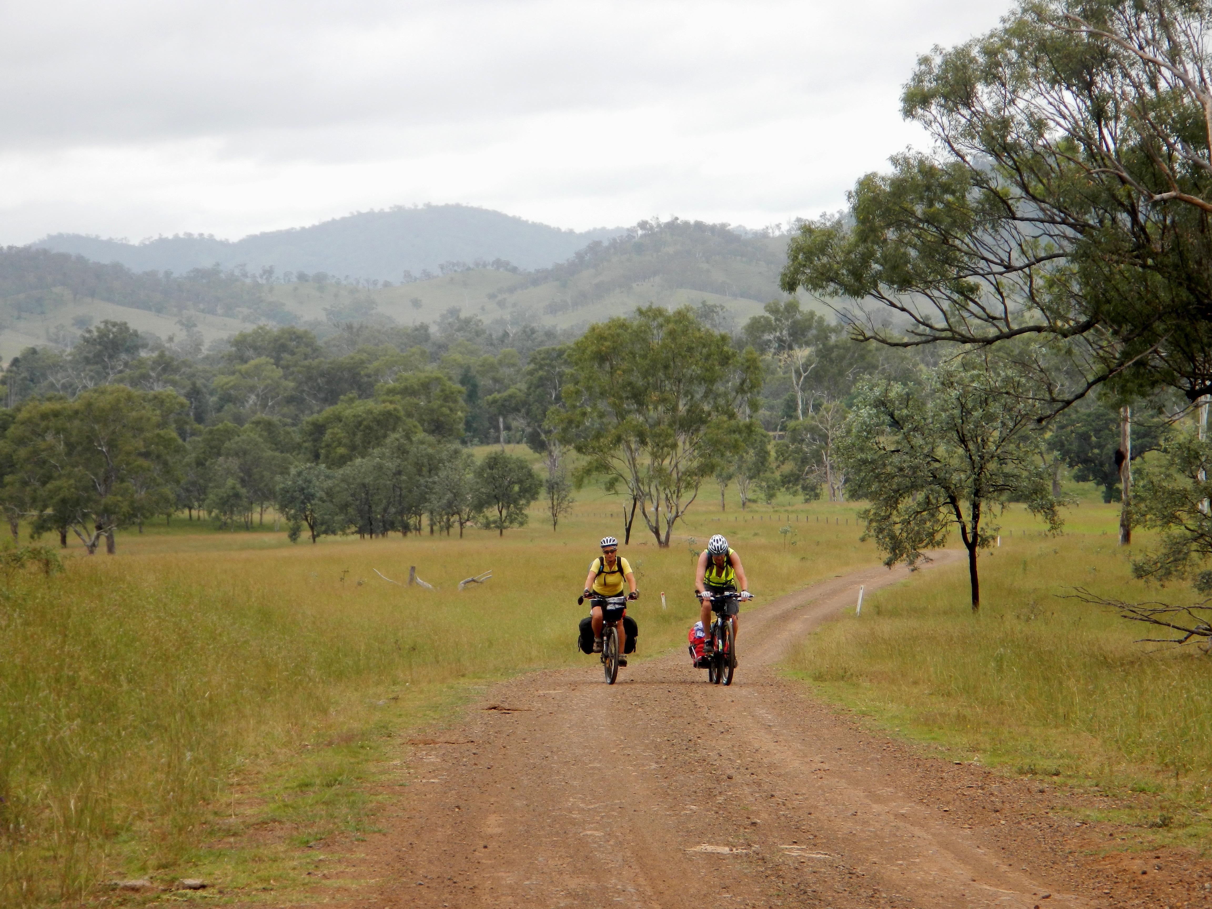
Andrea and Wayne
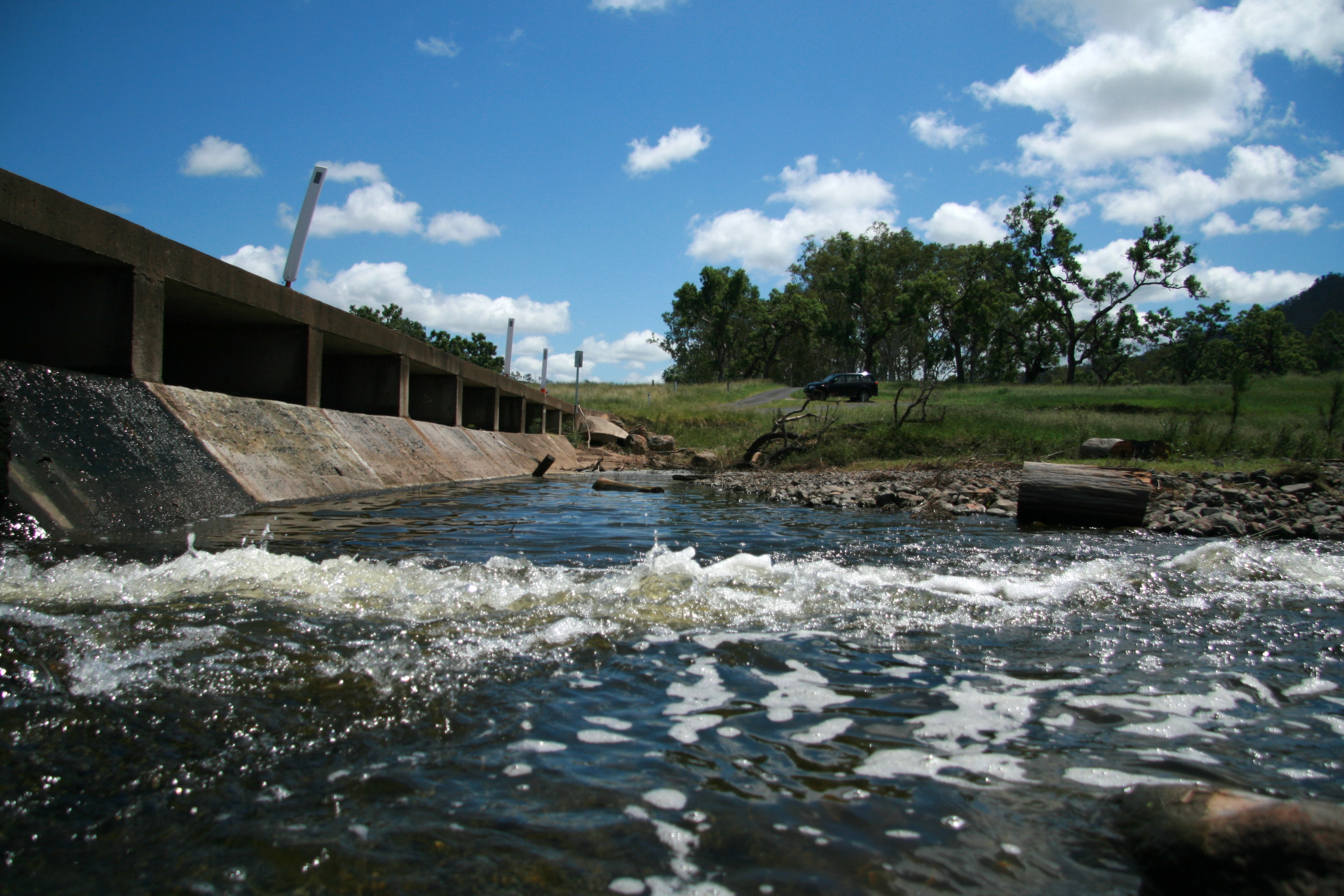
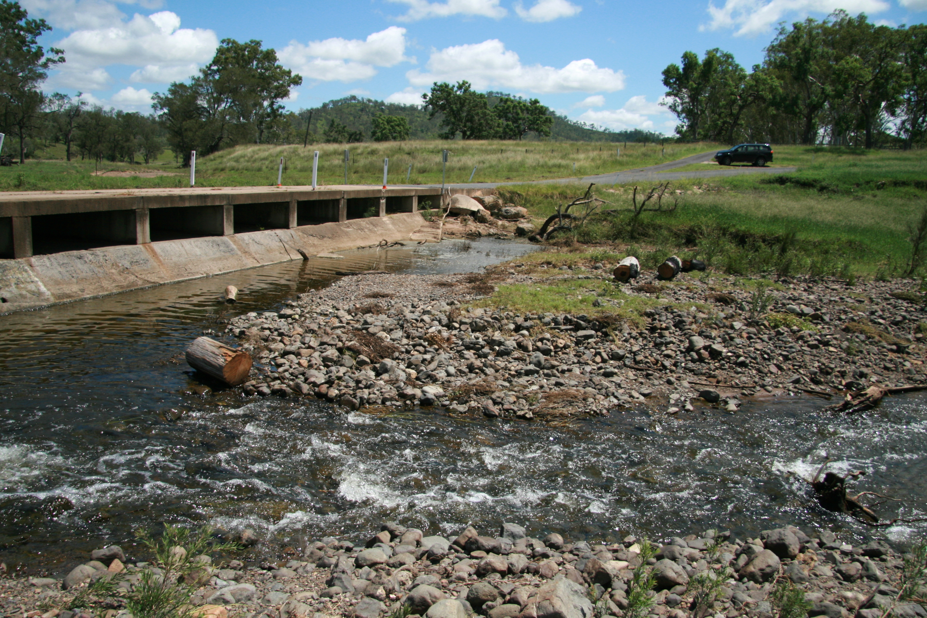
Crossing 1
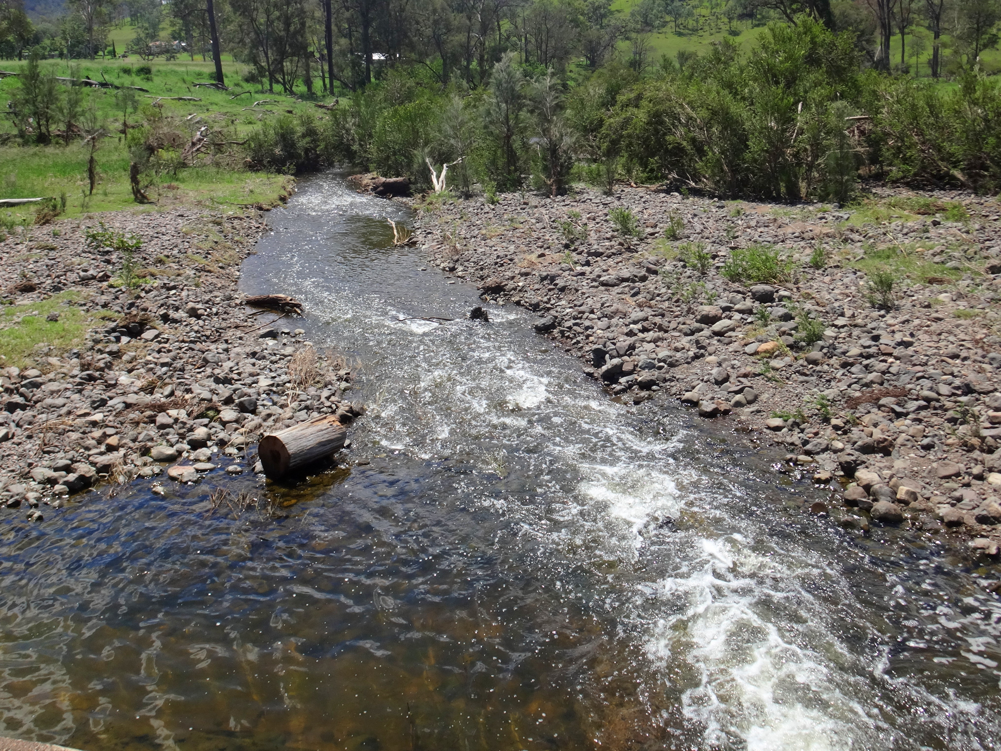
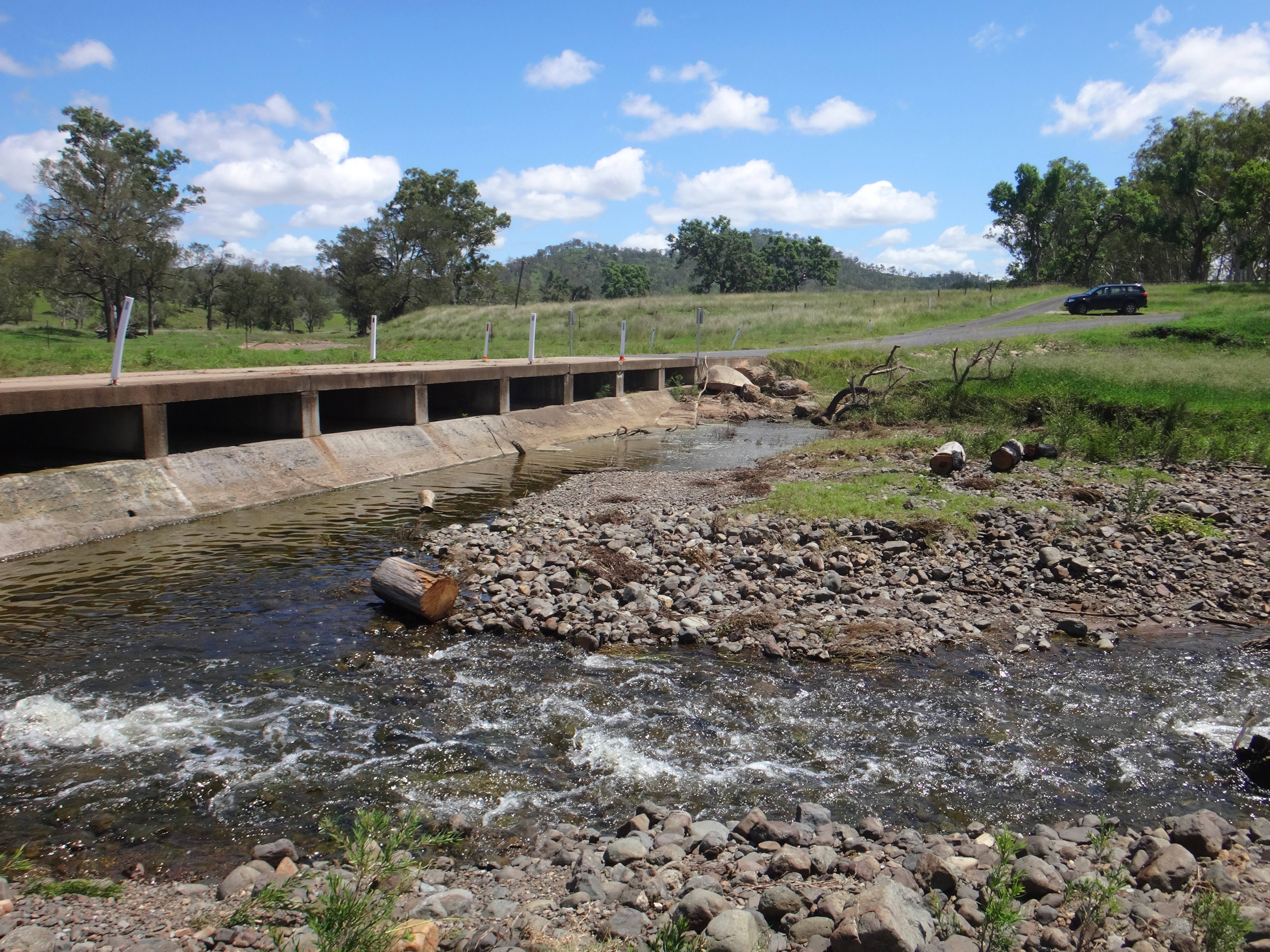
Crossing 1
Crossing 1
Crossing 1
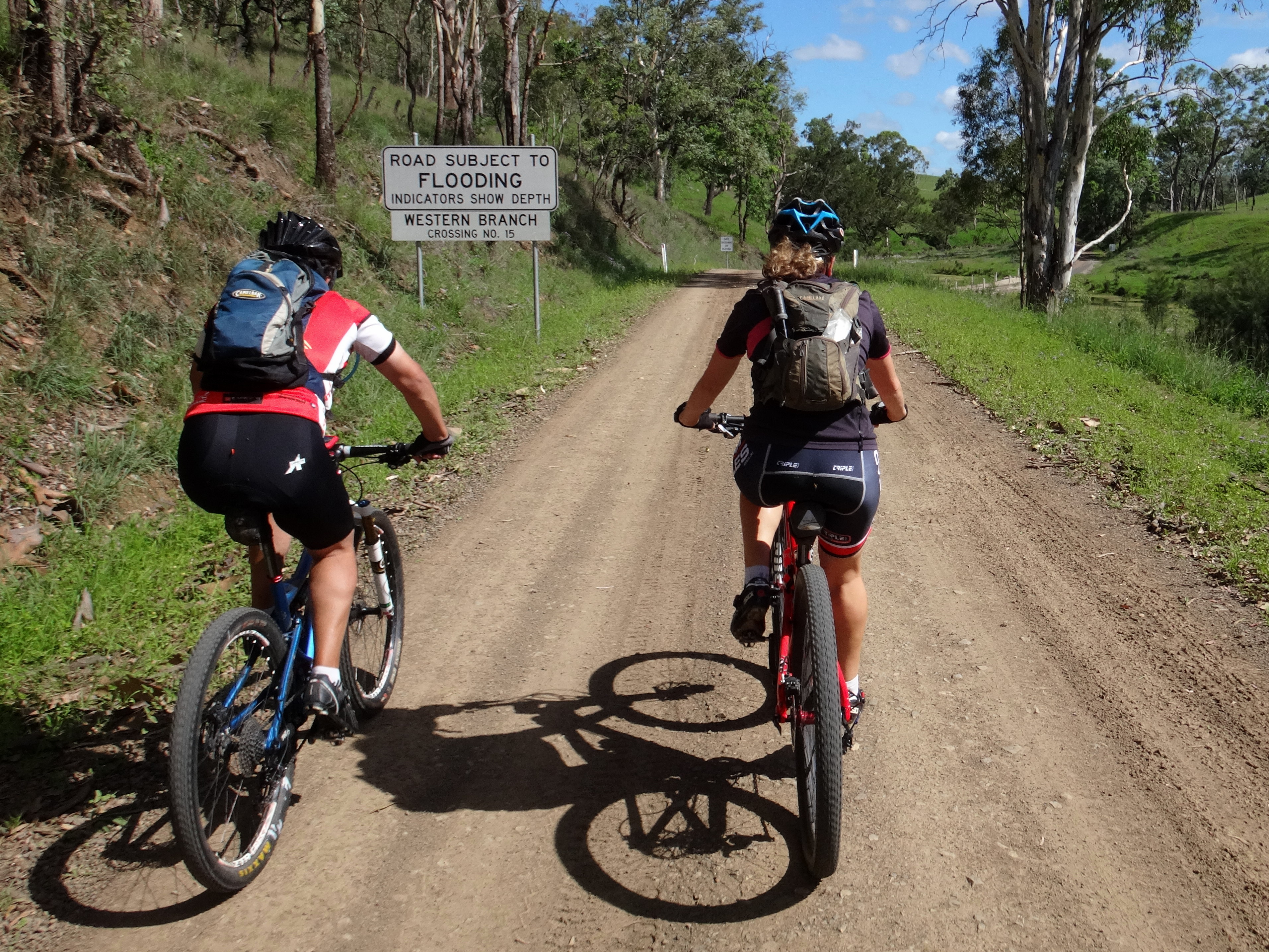
Crossing 15
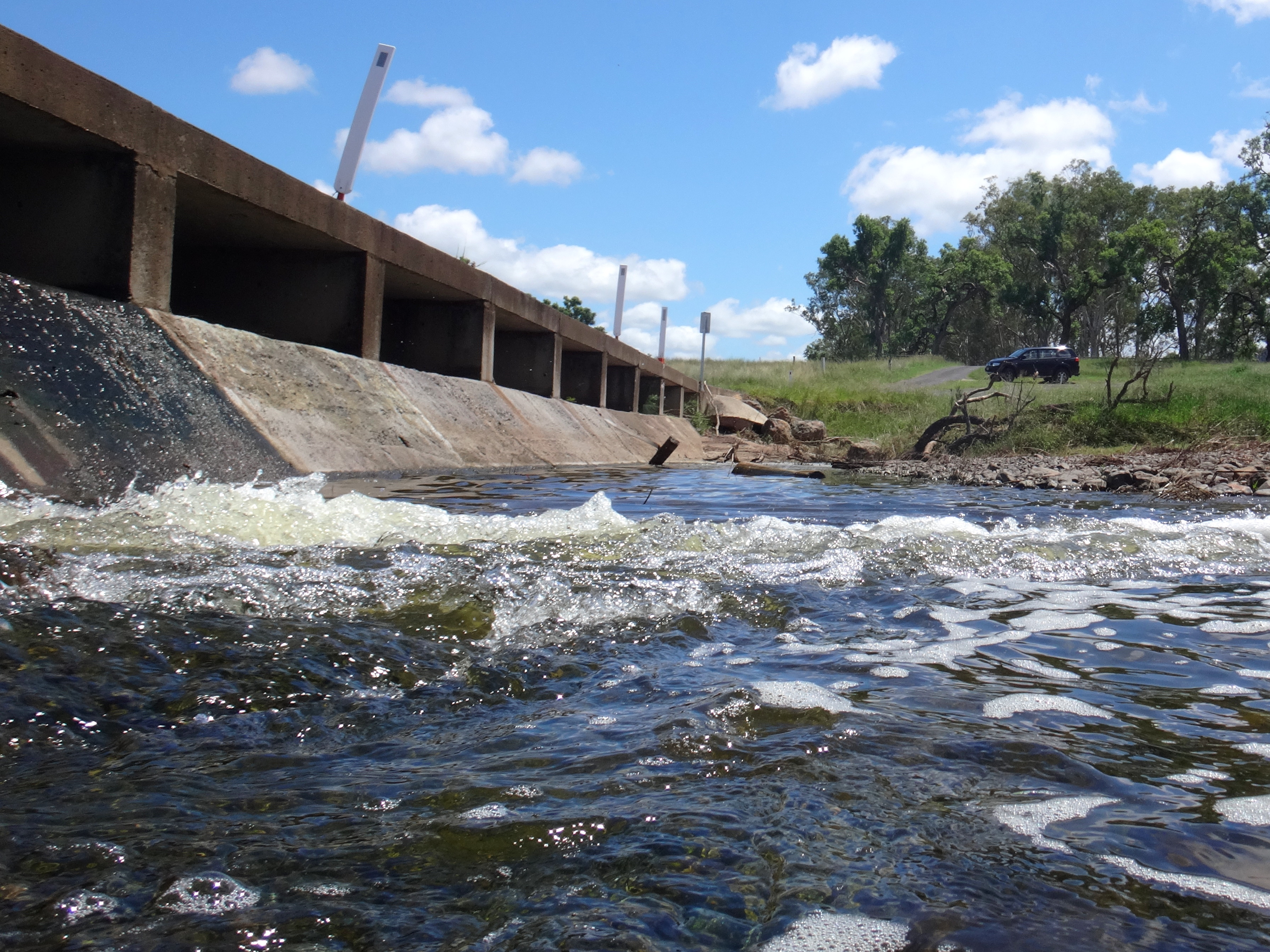
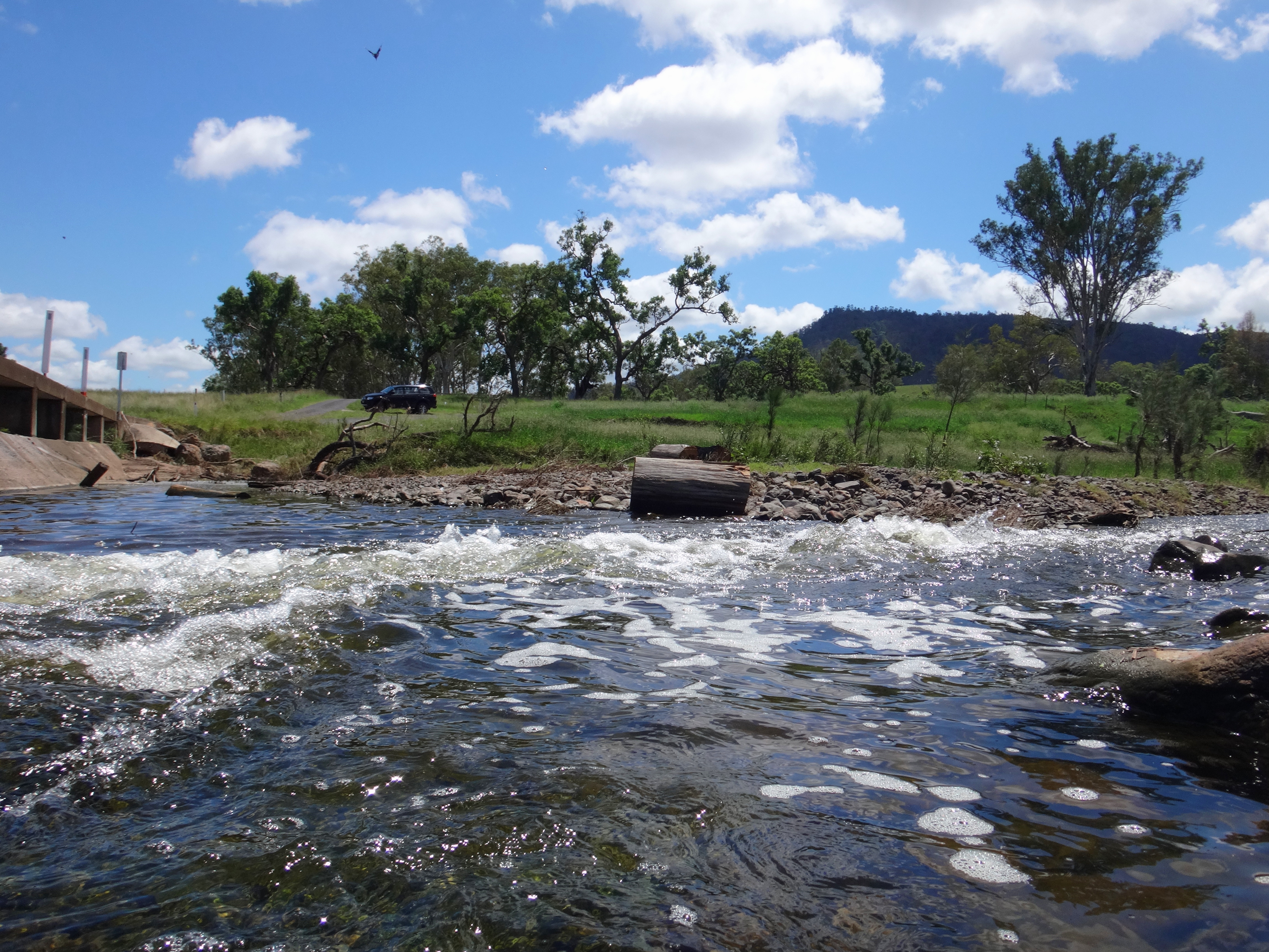
Crossing 1
Crossing 1
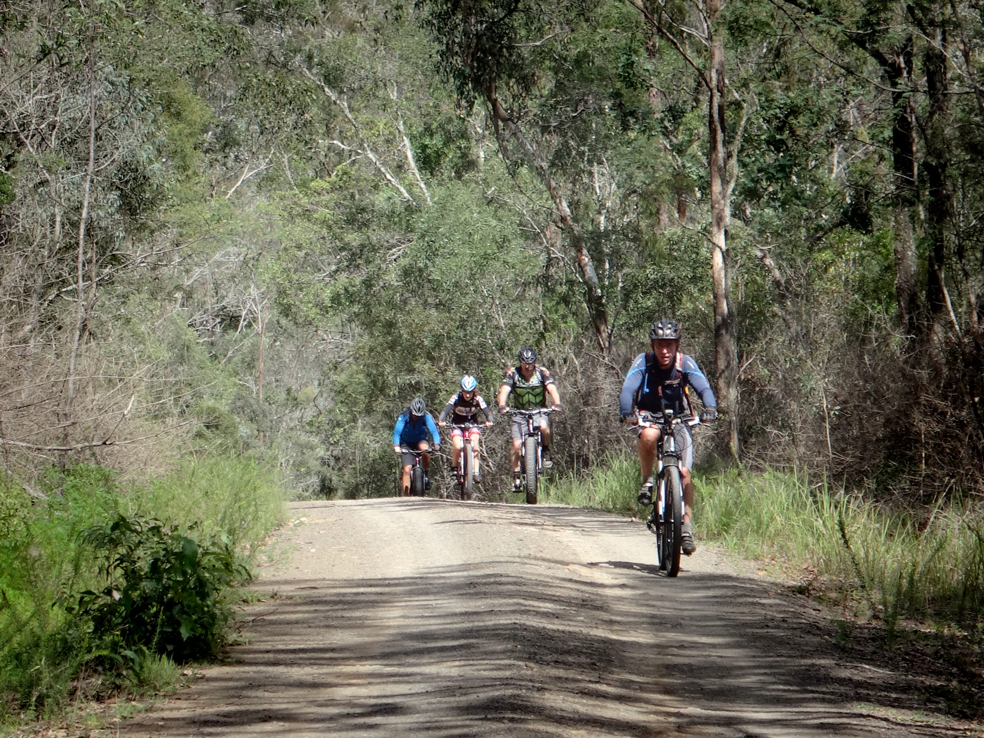
Hill Climb
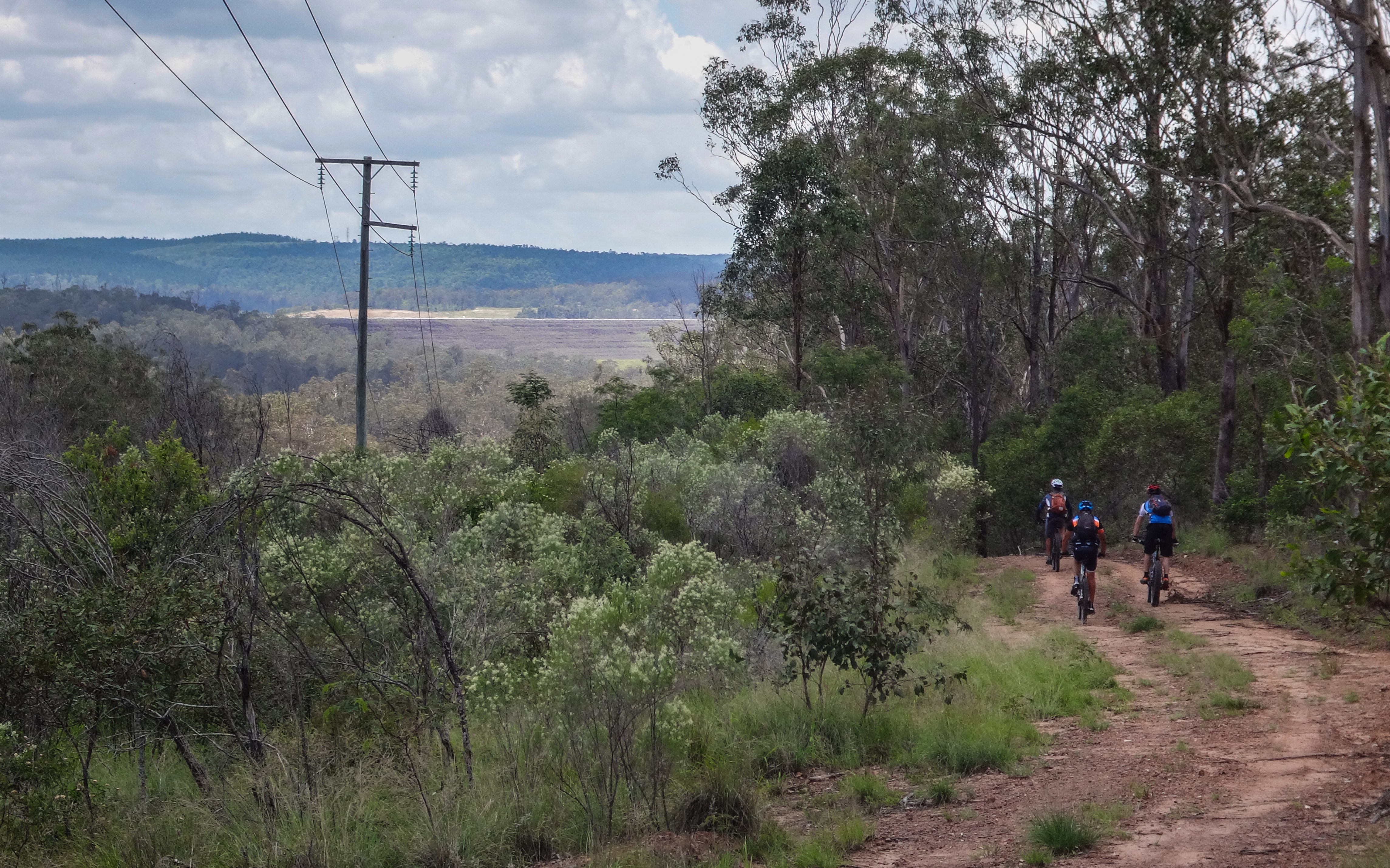
Tarong State Forest
Topographic Map of East Nanango QLD, Australia
Find elevation by address:

Places near East Nanango QLD, Australia:
Nanango
Mount Stanley
Porter Road
Elgin Vale
Manumbar Road
Manumbar
Manumbar
Monsildale
3085 Monsildale Rd
Quandong Road
Amamoor Creek
3 Upper Thornside Rd
1440 Kandanga Creek Rd
Upper Kandanga
Amamoor State Forest
Tansey
10 Jum Jum Ct
Imbil
Mooloo
Lower Wonga
Recent Searches:
- Elevation of E 63rd St, New York, NY, USA
- Elevation of Elk City, OK, USA
- Elevation of Erika Dr, Windsor, CA, USA
- Elevation of Village Ln, Finleyville, PA, USA
- Elevation of 24 Oakland Rd #, Scotland, ON N0E 1R0, Canada
- Elevation of Deep Gap Farm Rd E, Mill Spring, NC, USA
- Elevation of Dog Leg Dr, Minden, NV, USA
- Elevation of Dog Leg Dr, Minden, NV, USA
- Elevation of Kambingan Sa Pansol Atbp., Purok 7 Pansol, Candaba, Pampanga, Philippines
- Elevation of Pinewood Dr, New Bern, NC, USA