Elevation of Monsildale QLD, Australia
Location: Australia > Queensland > Somerset Regional >
Longitude: 152.402359
Latitude: -26.708758
Elevation: 234m / 768feet
Barometric Pressure: 99KPa
Elevation Map:
Satellite Map:
Related Photos:

Buttress Roots, Rainforest Fig

Monsildale Creek

Foggy fields

Under tall trees

State Forest at "Peach Trees"

Old Gnarly One

Morning glory

Sunday Creek Road

Stairway to heaven?

Brisbane River - Marsh Causeway

Hoop Pine Plantation Forest

Hill in the Mist

Creek in the mist

Brisbane River - Marsh Causeway

The camp

Jimna Gold Fields

Fire Road, Conondale National Park

Monsildale Creek

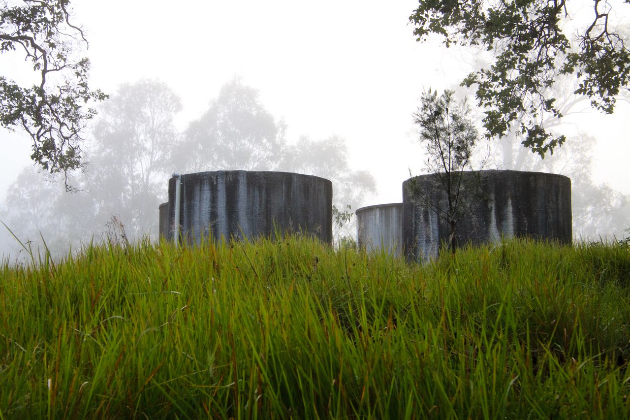
Tanks 1

Brisbane River - Marsh Causeway
Tanks 2

Conondale National Park

Monsildale Creek
Topographic Map of Monsildale QLD, Australia
Find elevation by address:

Places near Monsildale QLD, Australia:
3085 Monsildale Rd
Mount Stanley
Porter Road
240 Walli Creek Rd
Manumbar
Manumbar
Elgin Vale
Manumbar Road
Amamoor Creek
3725 Maleny Kenilworth Rd
9 Margaret St
Margaret Street
1440 Kandanga Creek Rd
80 Ekert Rd
Kenilworth
Upper Kandanga
91 Tamlyn Rd
East Nanango
Curramore Road
Amamoor State Forest
Recent Searches:
- Elevation of 15th Ave SE, St. Petersburg, FL, USA
- Elevation of Beall Road, Beall Rd, Florida, USA
- Elevation of Leguwa, Nepal
- Elevation of County Rd, Enterprise, AL, USA
- Elevation of Kolchuginsky District, Vladimir Oblast, Russia
- Elevation of Shustino, Vladimir Oblast, Russia
- Elevation of Lampiasi St, Sarasota, FL, USA
- Elevation of Elwyn Dr, Roanoke Rapids, NC, USA
- Elevation of Congressional Dr, Stevensville, MD, USA
- Elevation of Bellview Rd, McLean, VA, USA