Elevation of Walli Creek Rd, Kenilworth QLD, Australia
Location: Australia > Queensland > Sunshine Coast Regional > Kenilworth >
Longitude: 152.726160
Latitude: -26.644580
Elevation: 195m / 640feet
Barometric Pressure: 99KPa
Elevation Map:
Satellite Map:
Related Photos:

Fence line

Another hot summer day nearly over
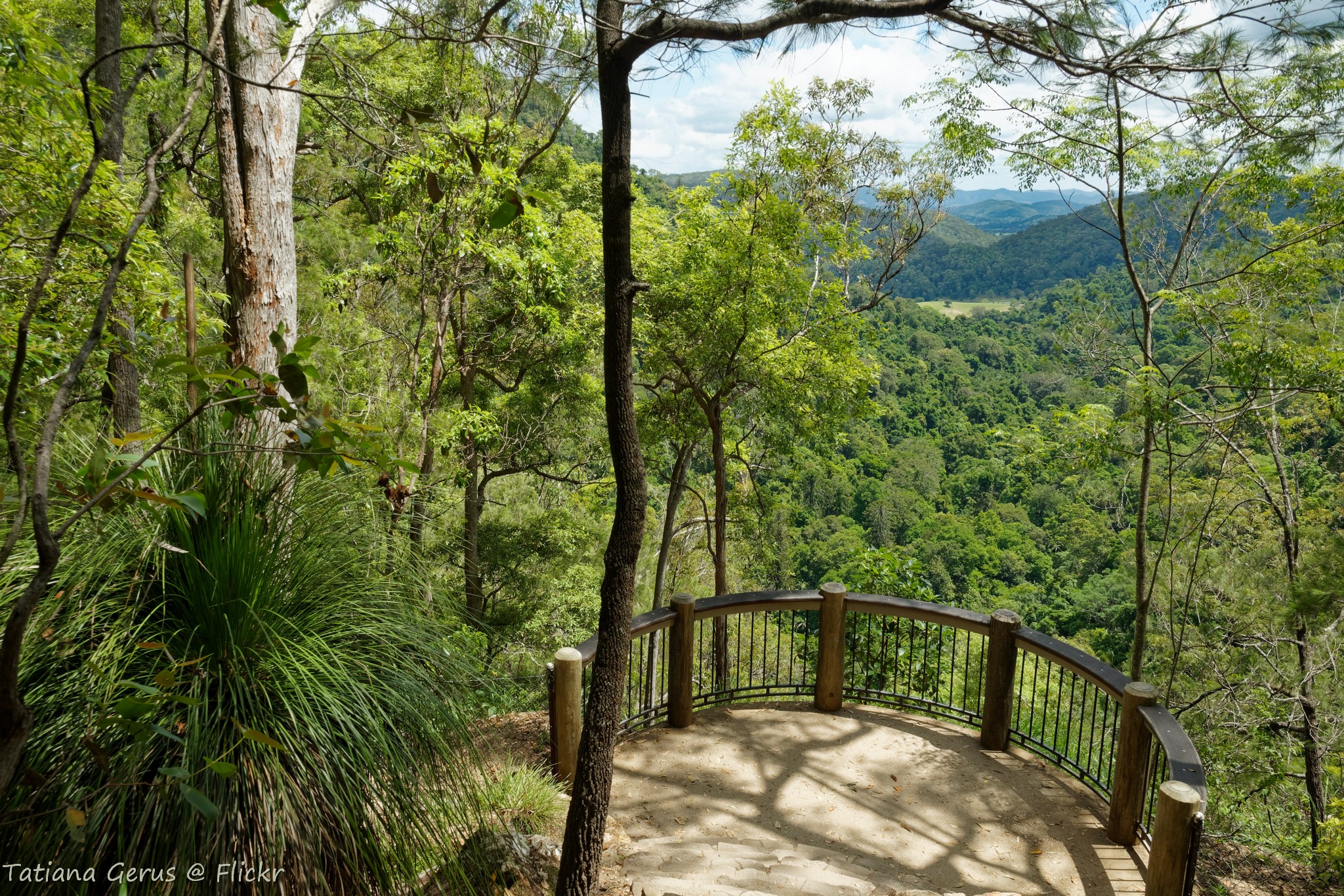
Balcony to the green world - Kondalilla National park

Wayne's Lookout

Peregrine lookout in Mapleton Falls National park
View from Mapleton Falls lookout
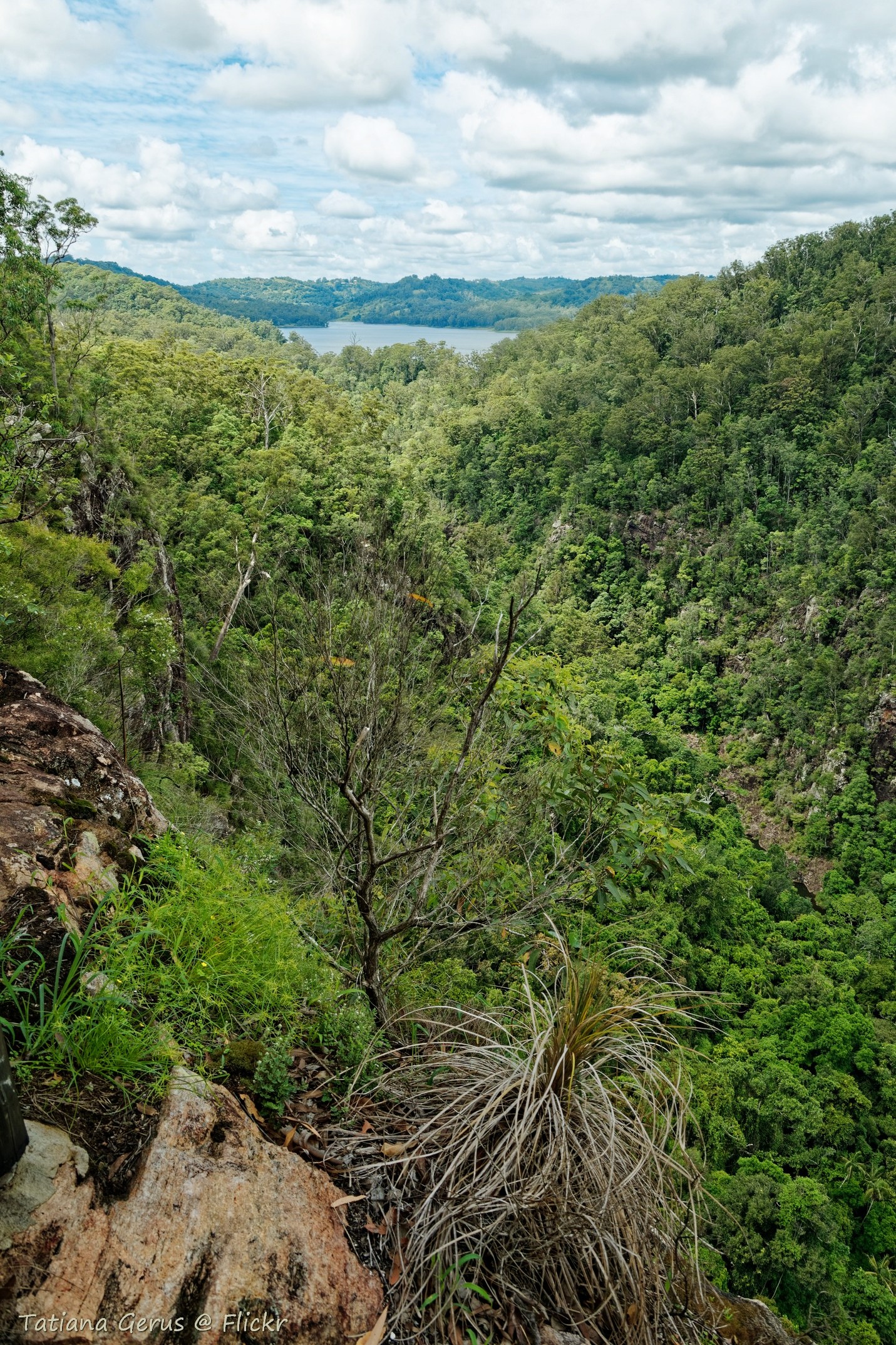
Baroon Lookout

Baroon Lookout

Baroon Lookout (opposite view to the next photo <--

Car broken down on Maroochy Road

320A4891 Sunset

View from Mapleton Falls lookout

320A4866 Main Fall, Kondililla
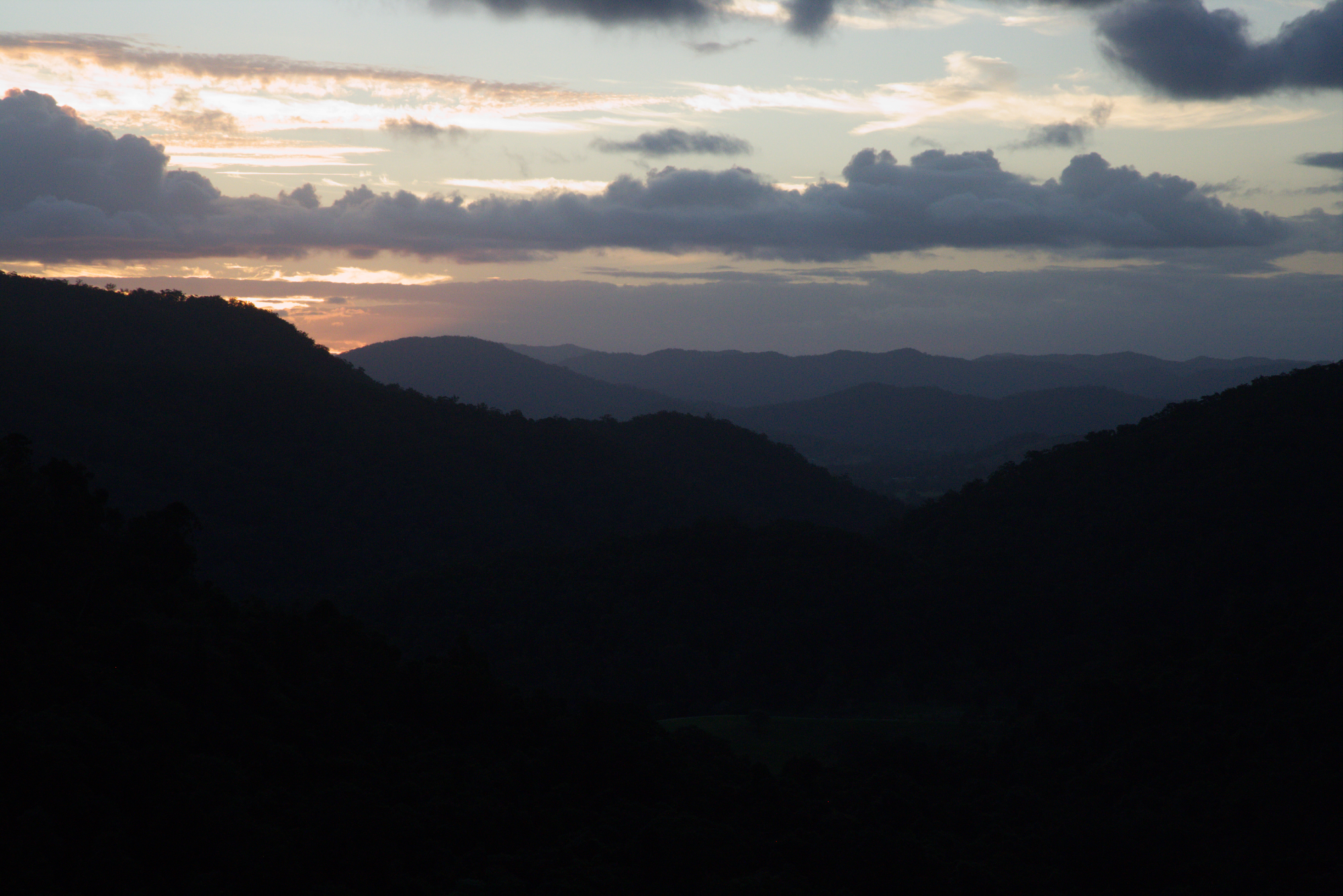
320A4882 Sunset

Austrophlebia costalis from below
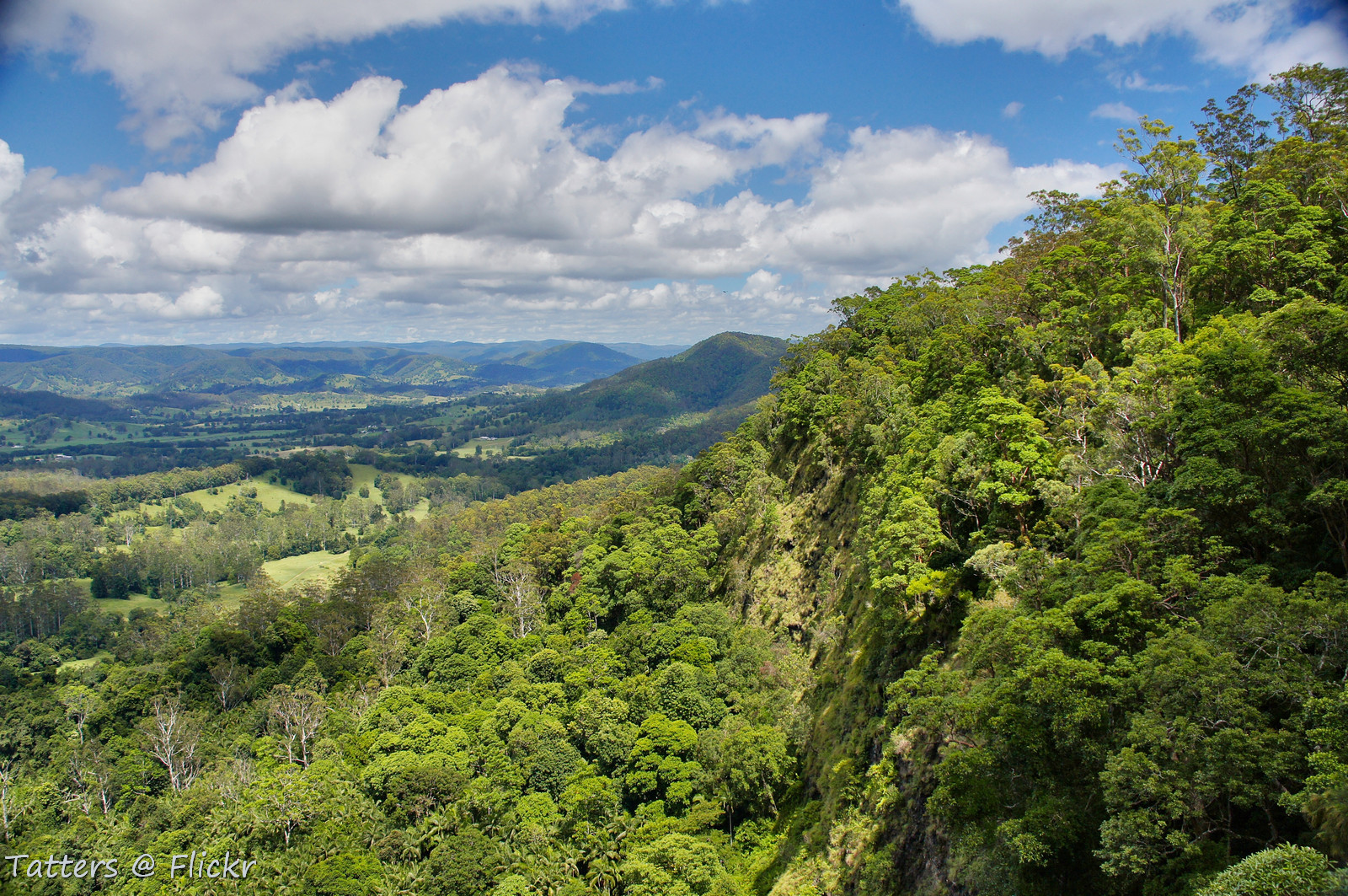
_20A3975 View from Mapleton falls

Pool above Summer Ck Falls

Kondalilla Falls - view to the top

Spa with a view

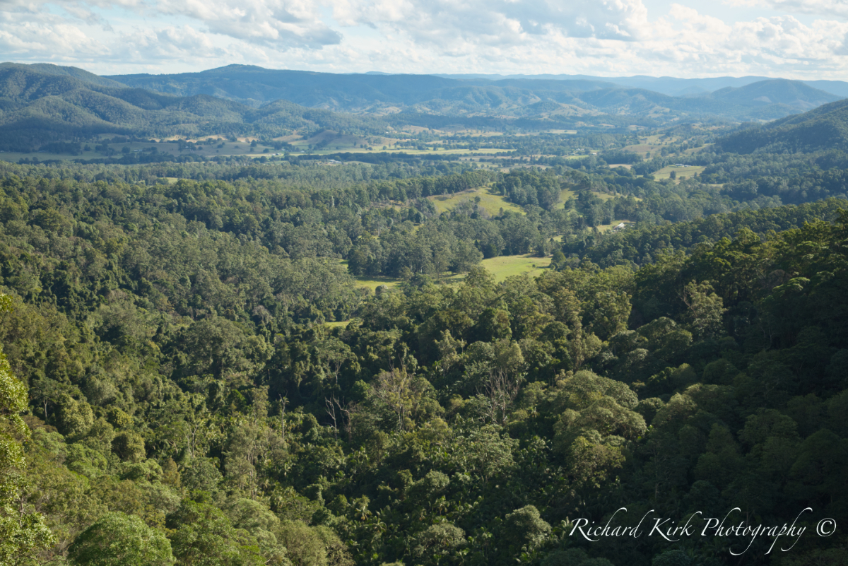
Valley view

Summer Creek Falls

Glassshouse Mountains [Explored]

Forest Pool

_20A5219 Jacaranda in bloom

Glass House Mountains at Sunset

under the canopy

Rainforest path

Sigma dp0 - Kondalilla National Park, Queensland

Boulders and Falls

Kondalilla National park, Picnic creek
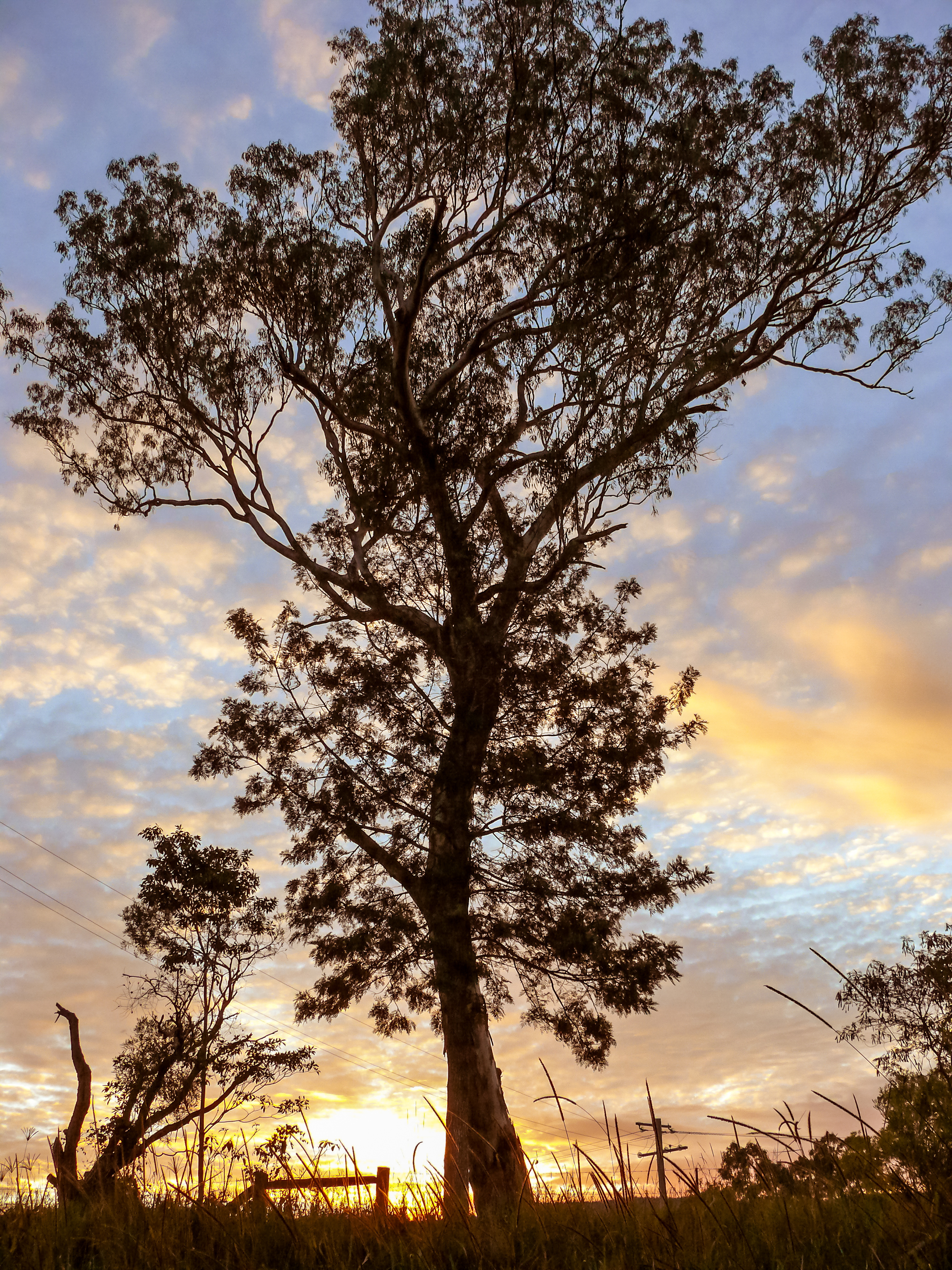
Tree at Sunset

Track by the grass trees

Picnic Creek

White Waterfall

Pandora?

Conondale fog
Topographic Map of Walli Creek Rd, Kenilworth QLD, Australia
Find elevation by address:

Places near Walli Creek Rd, Kenilworth QLD, Australia:
91 Tamlyn Rd
3725 Maleny Kenilworth Rd
Margaret Street
9 Margaret St
Kenilworth
80 Ekert Rd
Curramore Road
Obi Obi
Curramore
780 Maleny Kenilworth Rd
567 Delicia Rd
Mapleton
Flaxton
64 Akala St
Montville
Dulong
45 Western Ave
39 Woodland Pl
2 Western Ave
75 Mill Hill Rd
Recent Searches:
- Elevation of Elwyn Dr, Roanoke Rapids, NC, USA
- Elevation of Congressional Dr, Stevensville, MD, USA
- Elevation of Bellview Rd, McLean, VA, USA
- Elevation of Stage Island Rd, Chatham, MA, USA
- Elevation of Shibuya Scramble Crossing, 21 Udagawacho, Shibuya City, Tokyo -, Japan
- Elevation of Jadagoniai, Kaunas District Municipality, Lithuania
- Elevation of Pagonija rock, Kranto 7-oji g. 8"N, Kaunas, Lithuania
- Elevation of Co Rd 87, Jamestown, CO, USA
- Elevation of Tenjo, Cundinamarca, Colombia
- Elevation of Côte-des-Neiges, Montreal, QC H4A 3J6, Canada