Elevation of Elgin Vale QLD, Australia
Location: Australia > Queensland > Gympie Regional >
Longitude: 152.192650
Latitude: -26.443314
Elevation: 409m / 1342feet
Barometric Pressure: 97KPa
Elevation Map:
Satellite Map:
Related Photos:
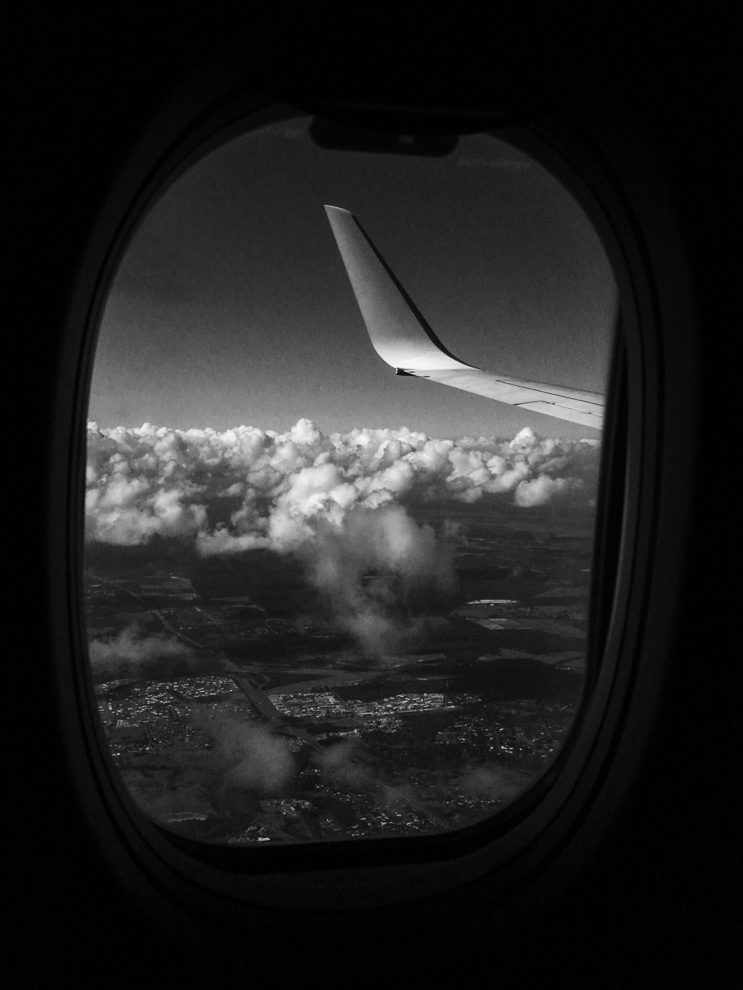
Procamera Vscocam Mobilephotography IPhoneography Iphone6s Shootermag_australia Shootermag Flight Aerial View Aeroplane In The Air In The Plane Window View Blackandwhite Monochrome

Leyland Truck
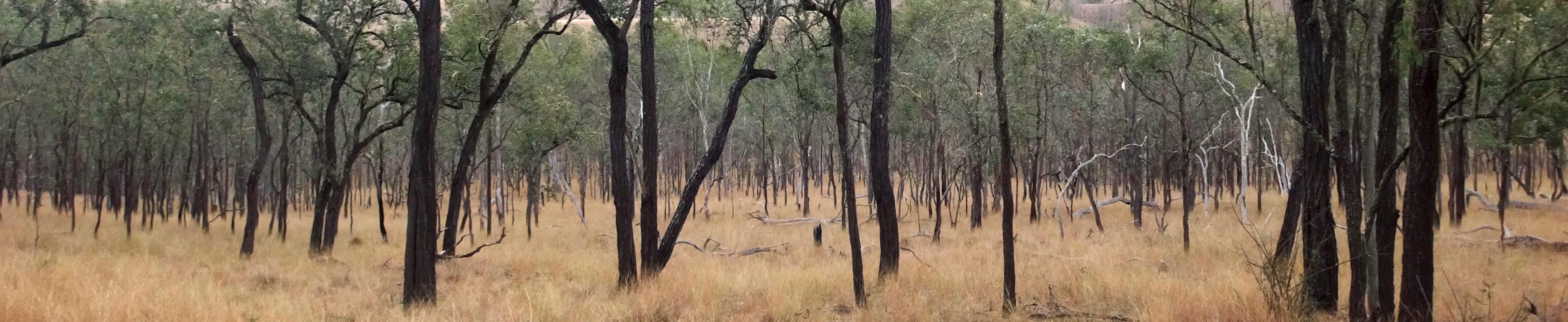
"Brown Poles"
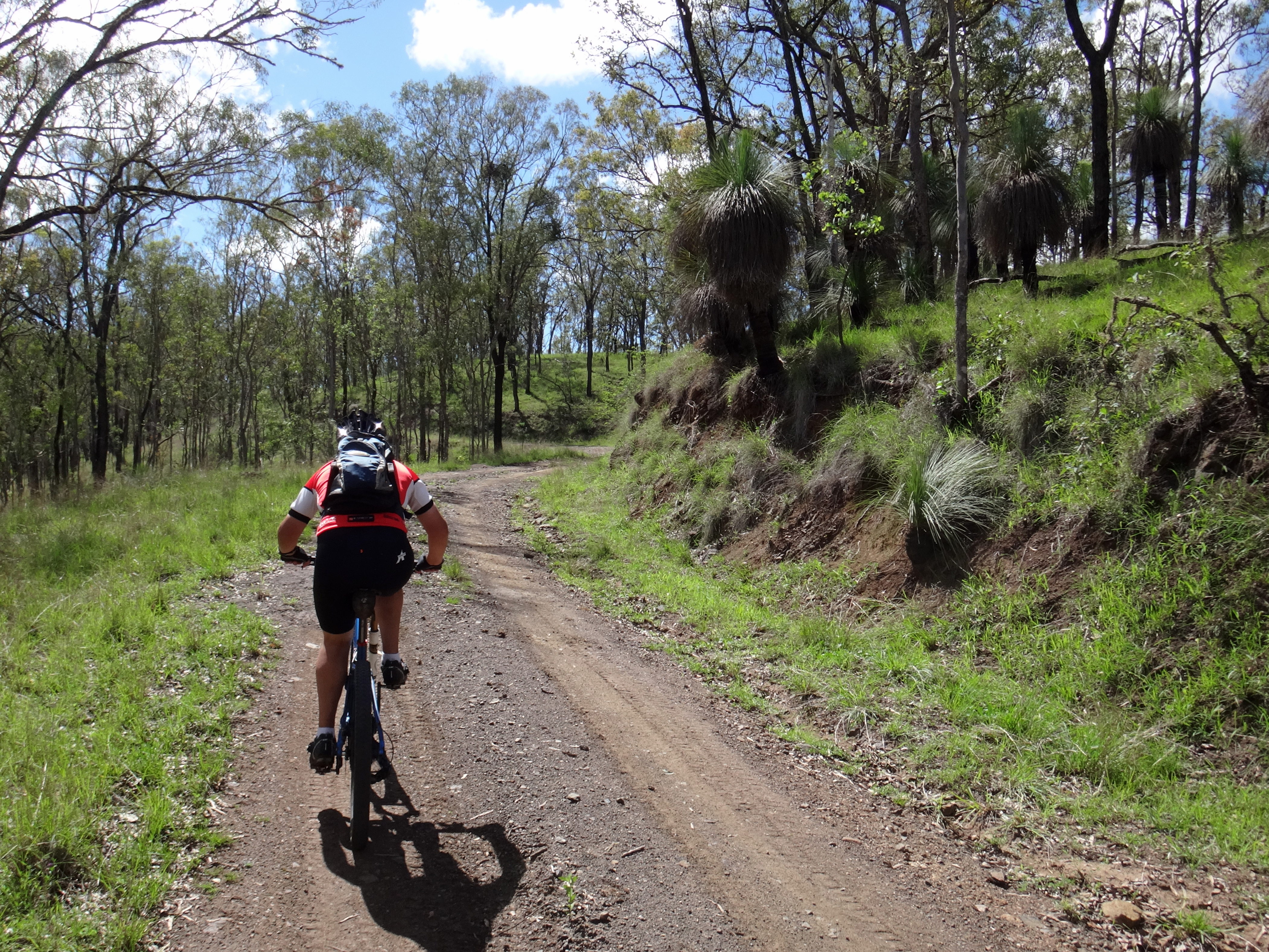
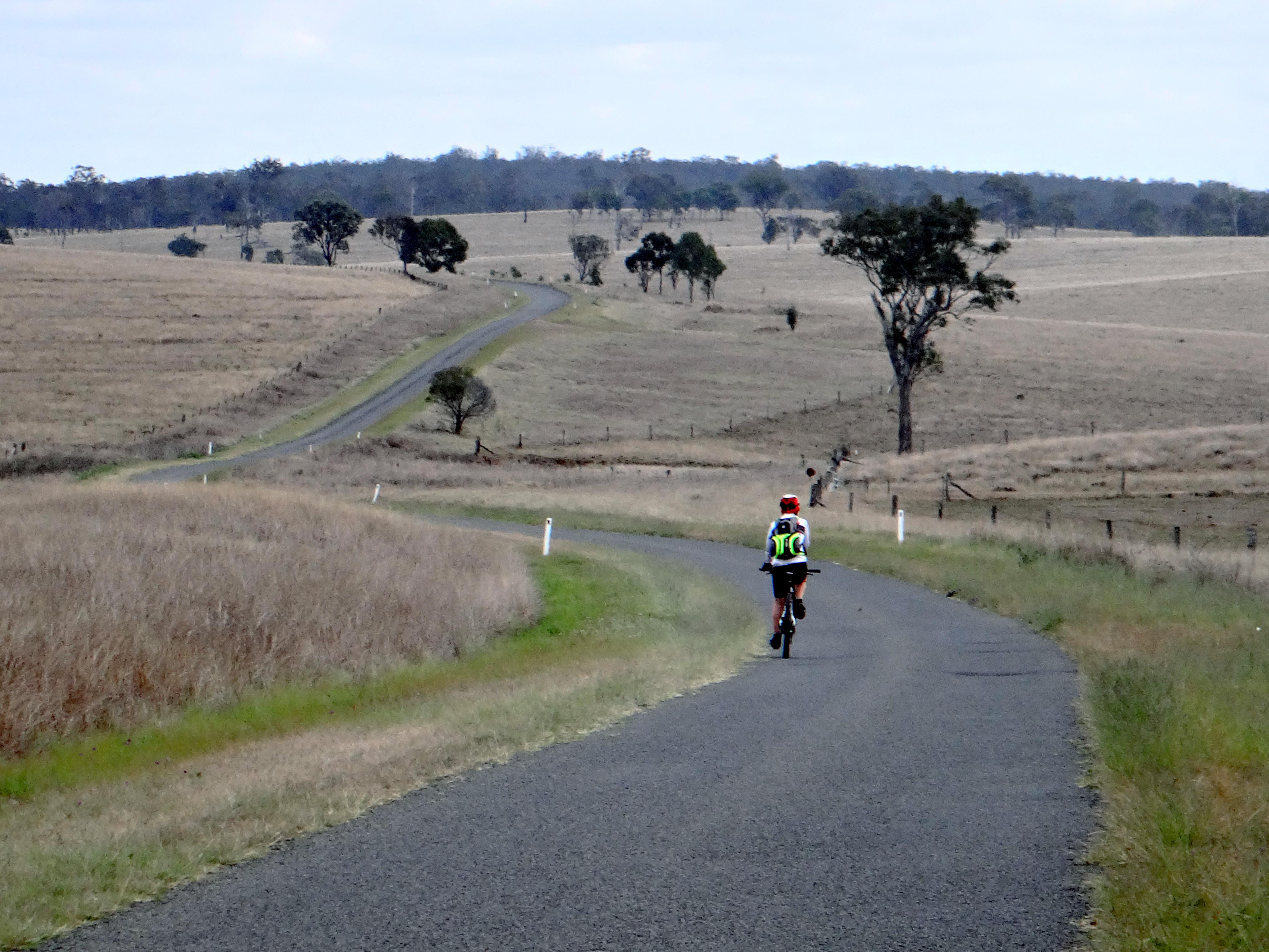
Down the Big Hill
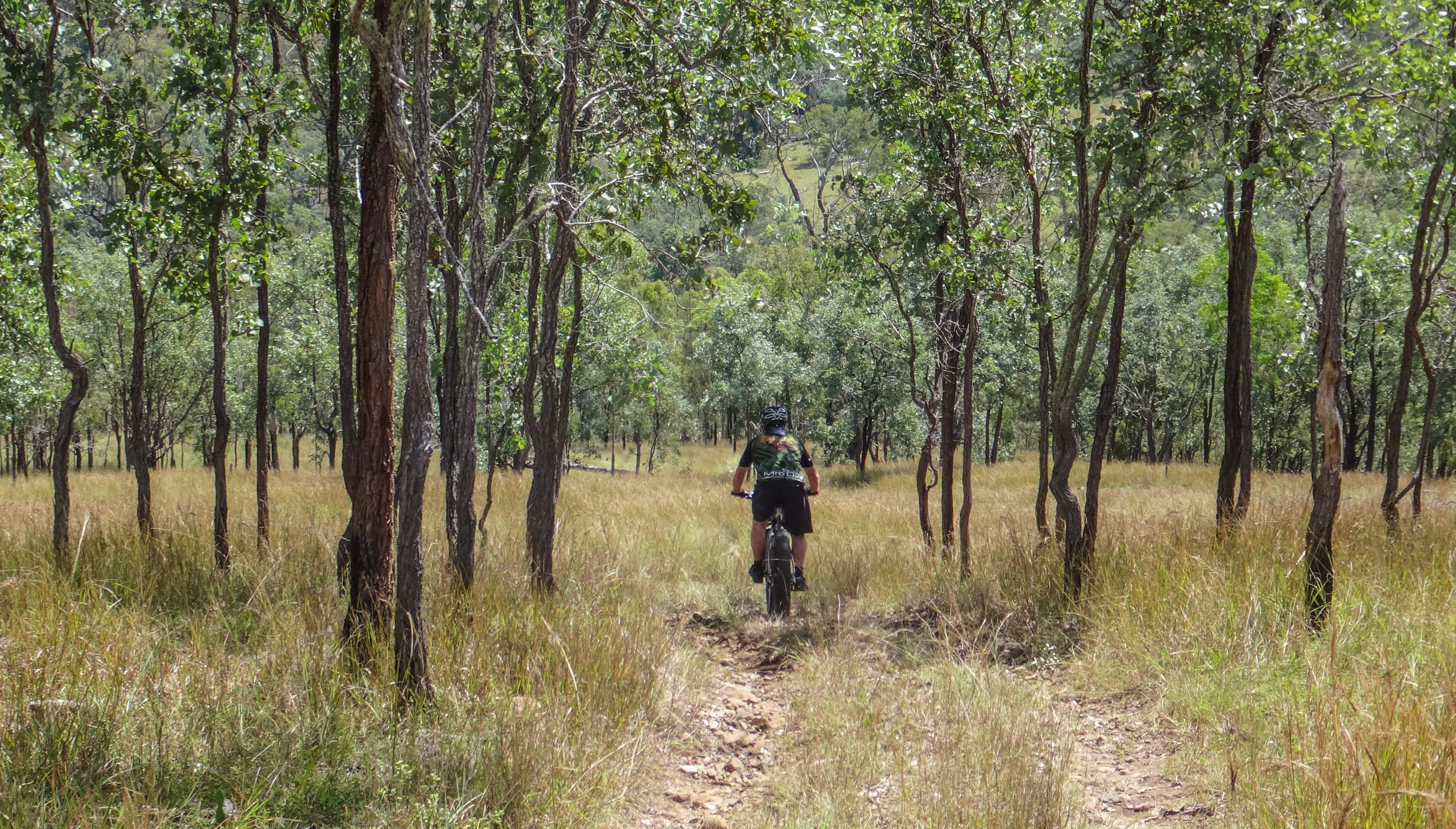
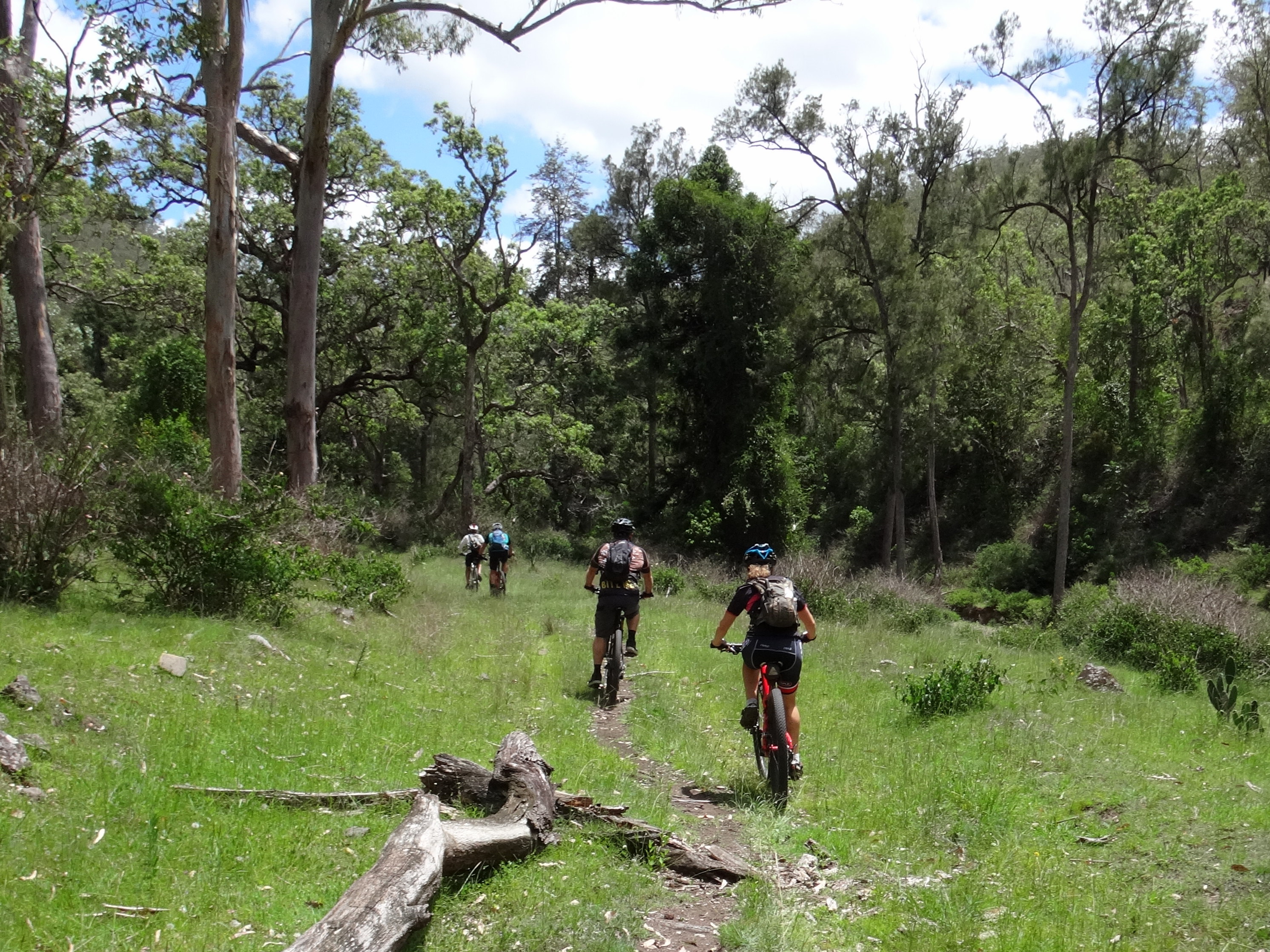
Tom with Grass Trees
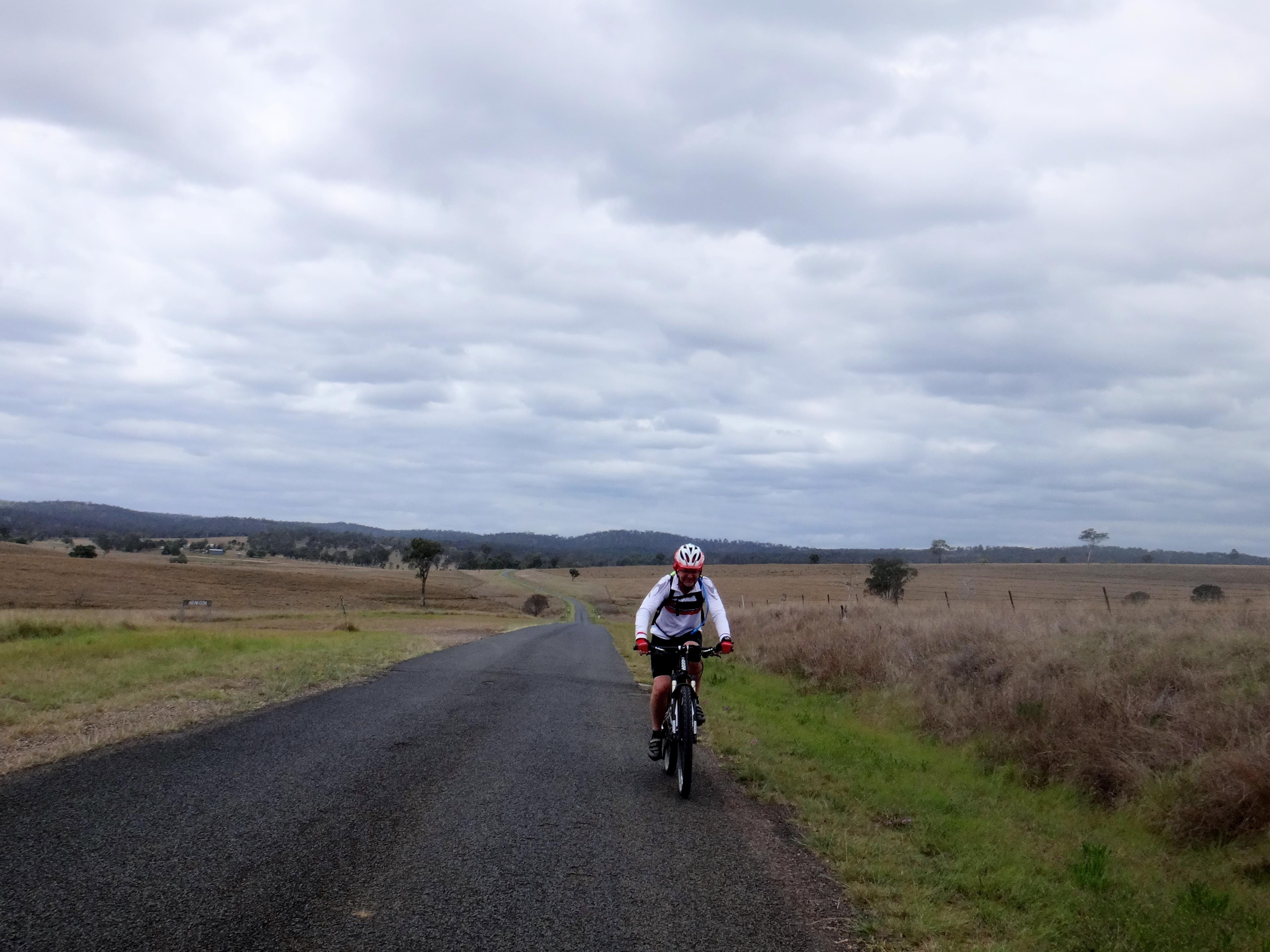
Manumbar Road
The End of Eastern Branch Road
Manumbar Road

Peregian Beach

Cassie and esri

Muru Lizard
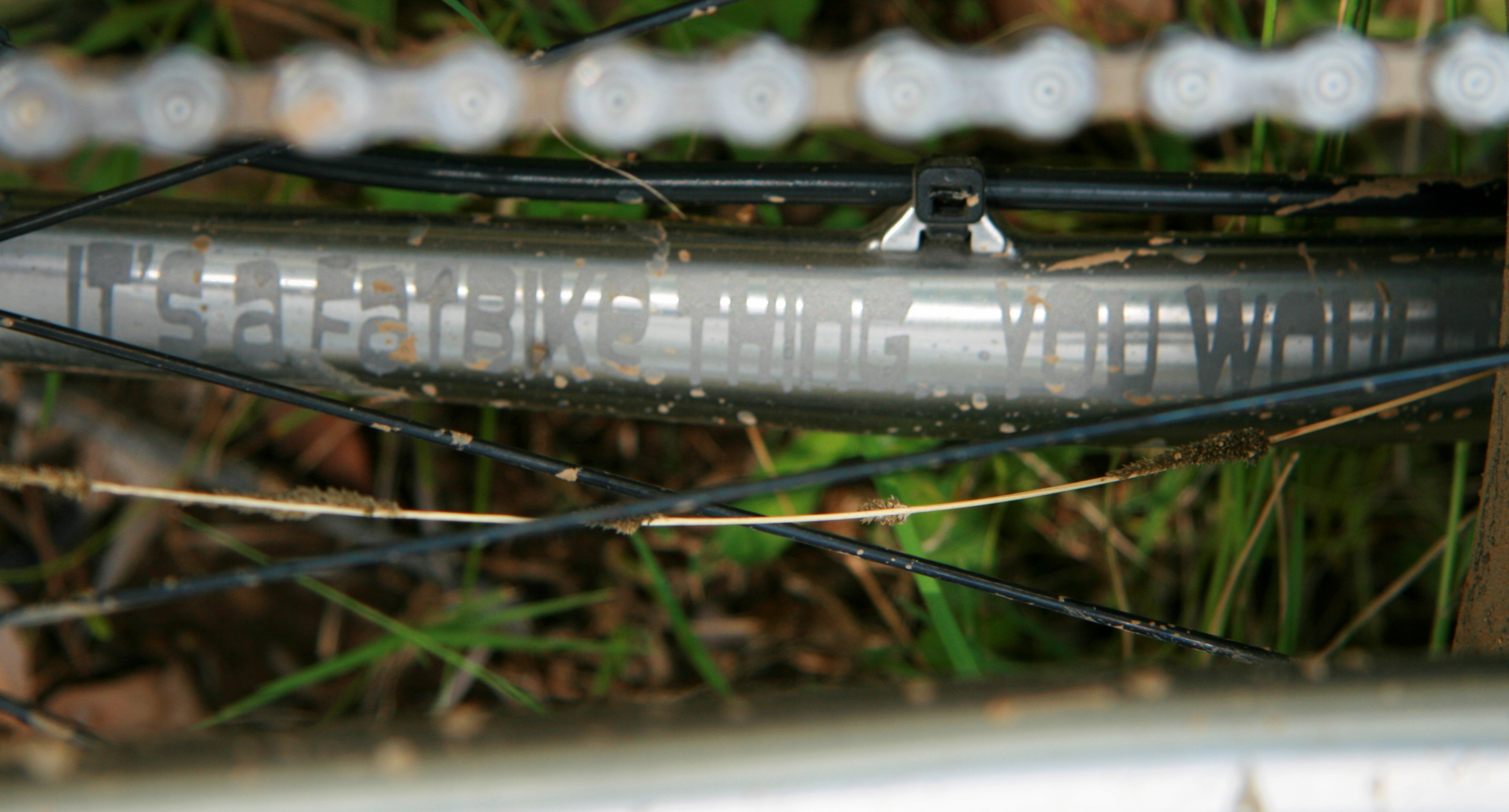
"It's a Fat Bike Thing"
Topographic Map of Elgin Vale QLD, Australia
Find elevation by address:

Places in Elgin Vale QLD, Australia:
Places near Elgin Vale QLD, Australia:
Porter Road
Manumbar Road
Manumbar
Manumbar
Mount Stanley
Quandong Road
East Nanango
3 Upper Thornside Rd
Nanango
3085 Monsildale Rd
Amamoor Creek
Monsildale
1440 Kandanga Creek Rd
Amamoor State Forest
Upper Kandanga
10 Jum Jum Ct
Lower Wonga
Mooloo
Tansey
400 Burgess Rd
Recent Searches:
- Elevation of Bydgoszcz, Poland
- Elevation of Bydgoszcz, Poland
- Elevation of Calais Dr, Del Mar, CA, USA
- Elevation of Placer Mine Ln, West Jordan, UT, USA
- Elevation of E 63rd St, New York, NY, USA
- Elevation of Elk City, OK, USA
- Elevation of Erika Dr, Windsor, CA, USA
- Elevation of Village Ln, Finleyville, PA, USA
- Elevation of 24 Oakland Rd #, Scotland, ON N0E 1R0, Canada
- Elevation of Deep Gap Farm Rd E, Mill Spring, NC, USA